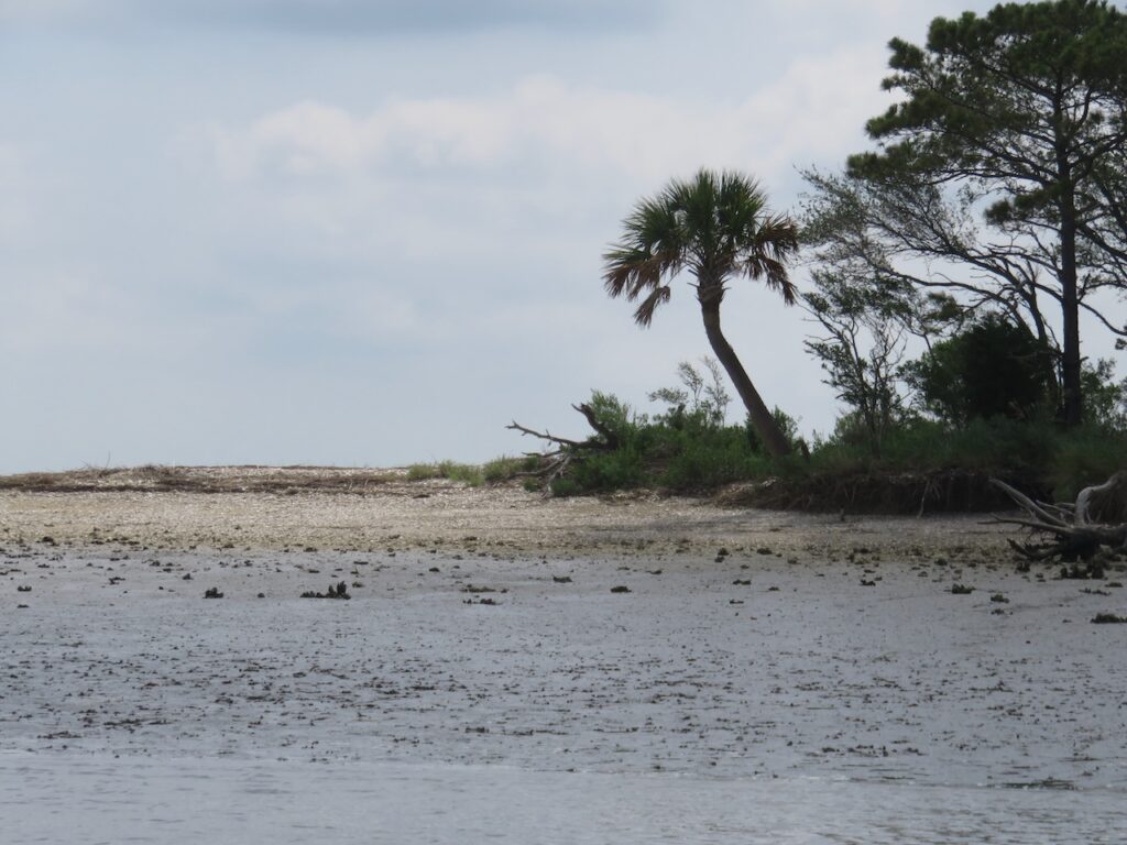
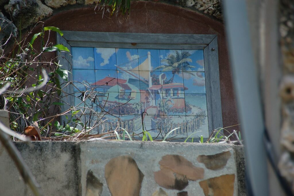
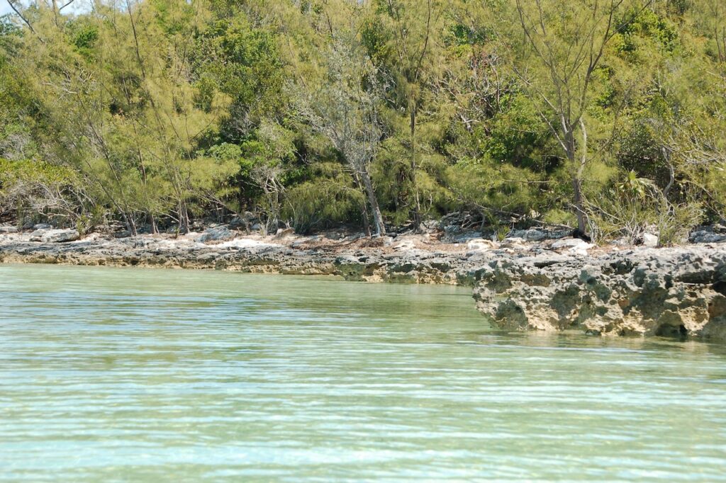
We ventured off the official Loop route to visit Christian’s old haunts: up the Neues River to New Bern then back down to Oriental. This area is the origin story for our Great Loop adventure… Christian learned to sail in these waters.
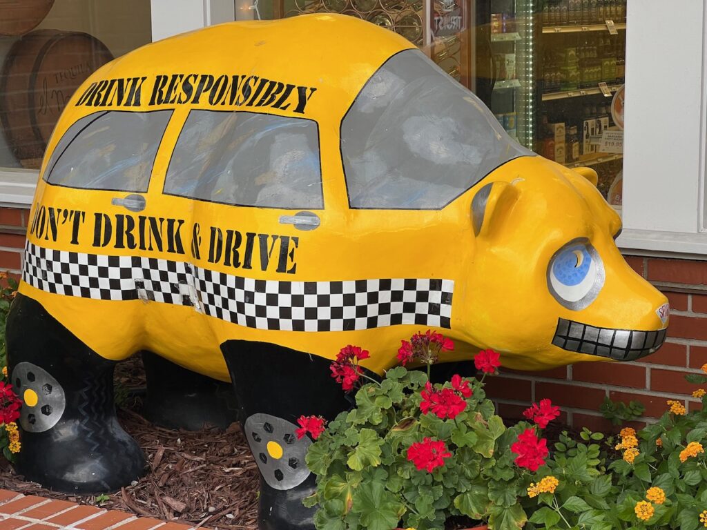
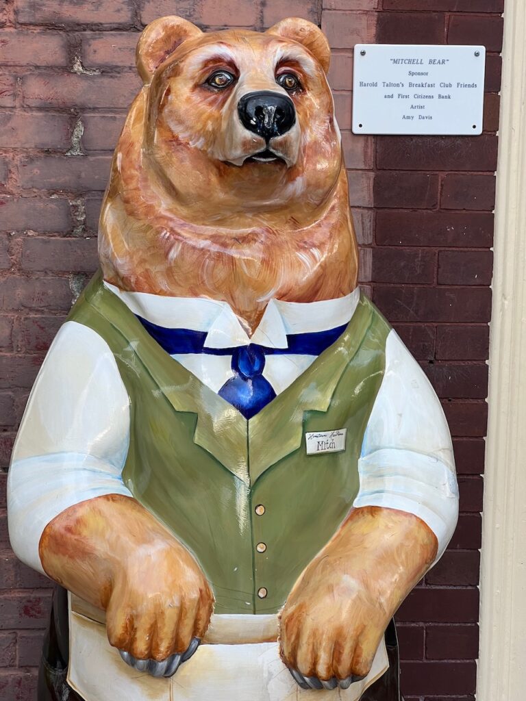
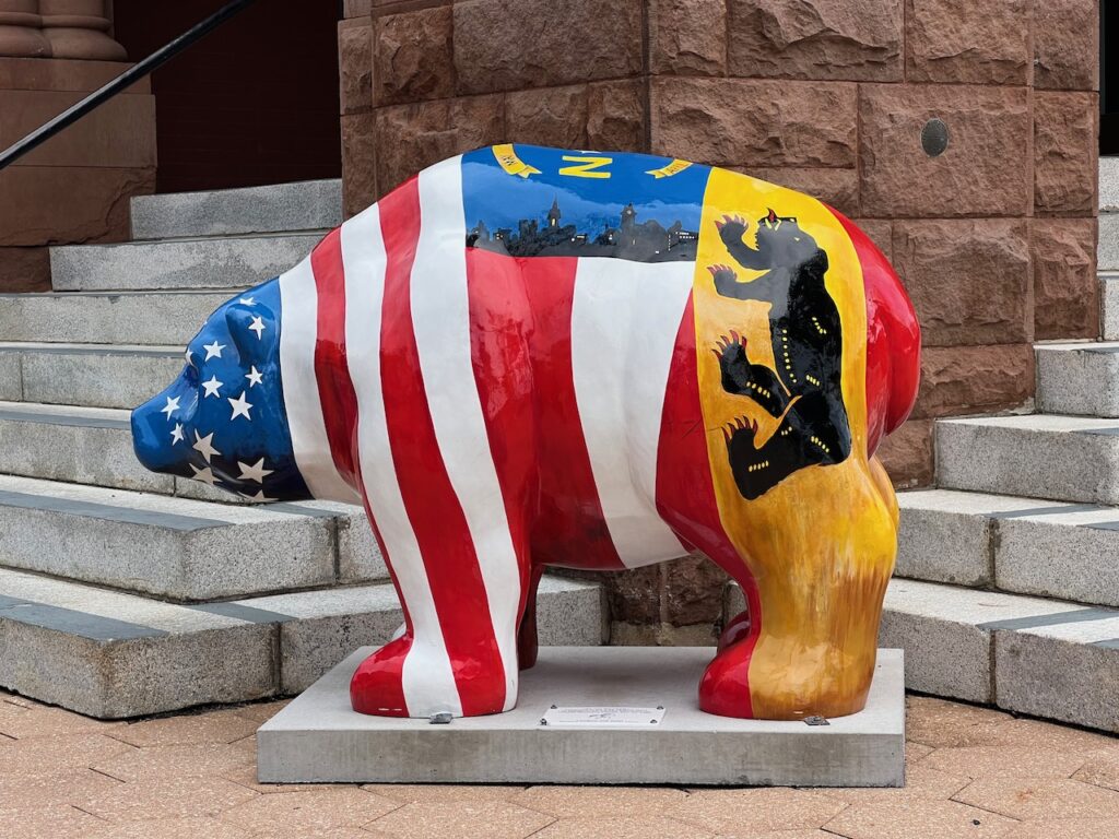
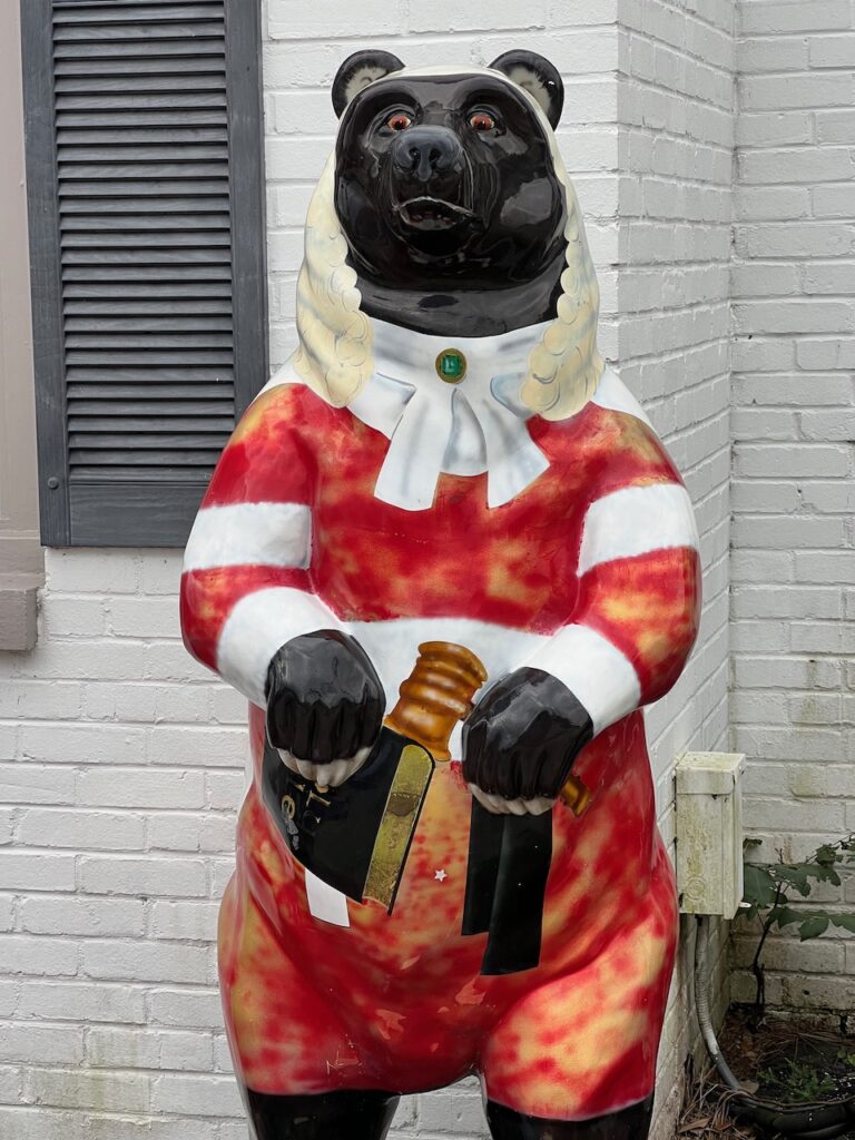
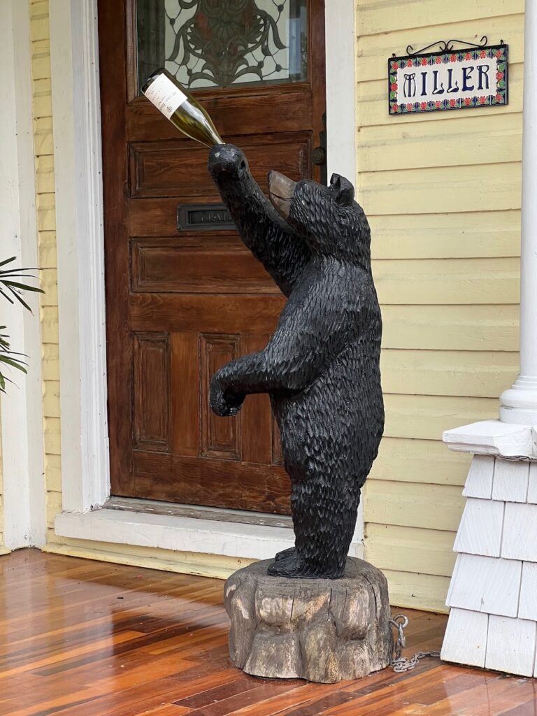
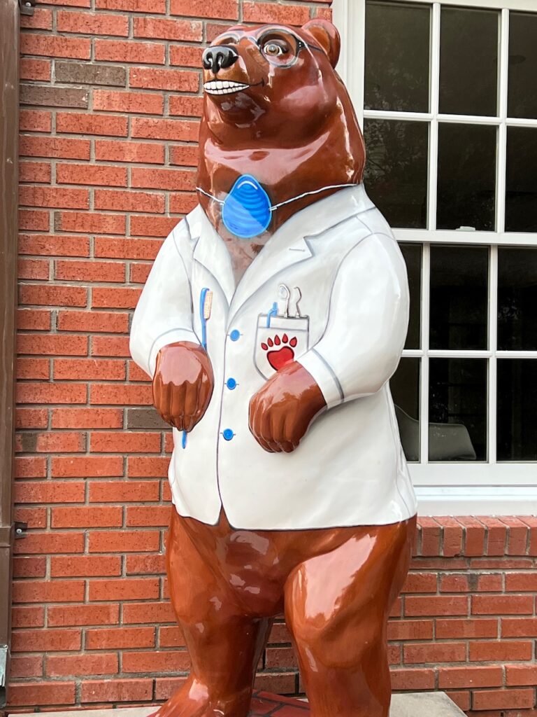
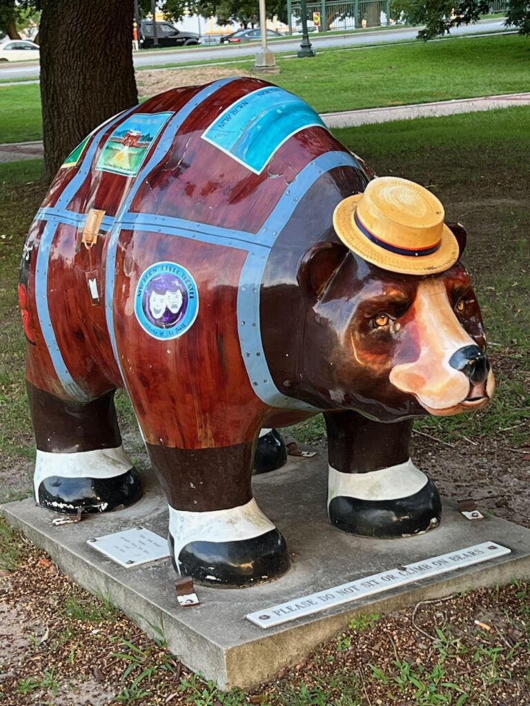
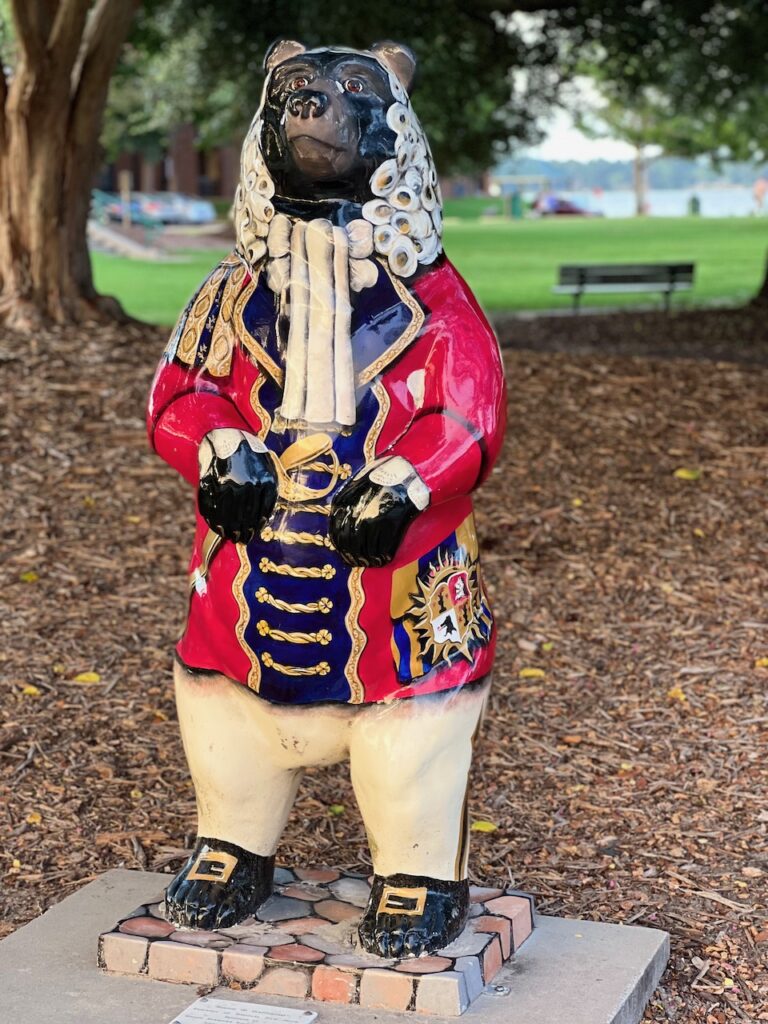
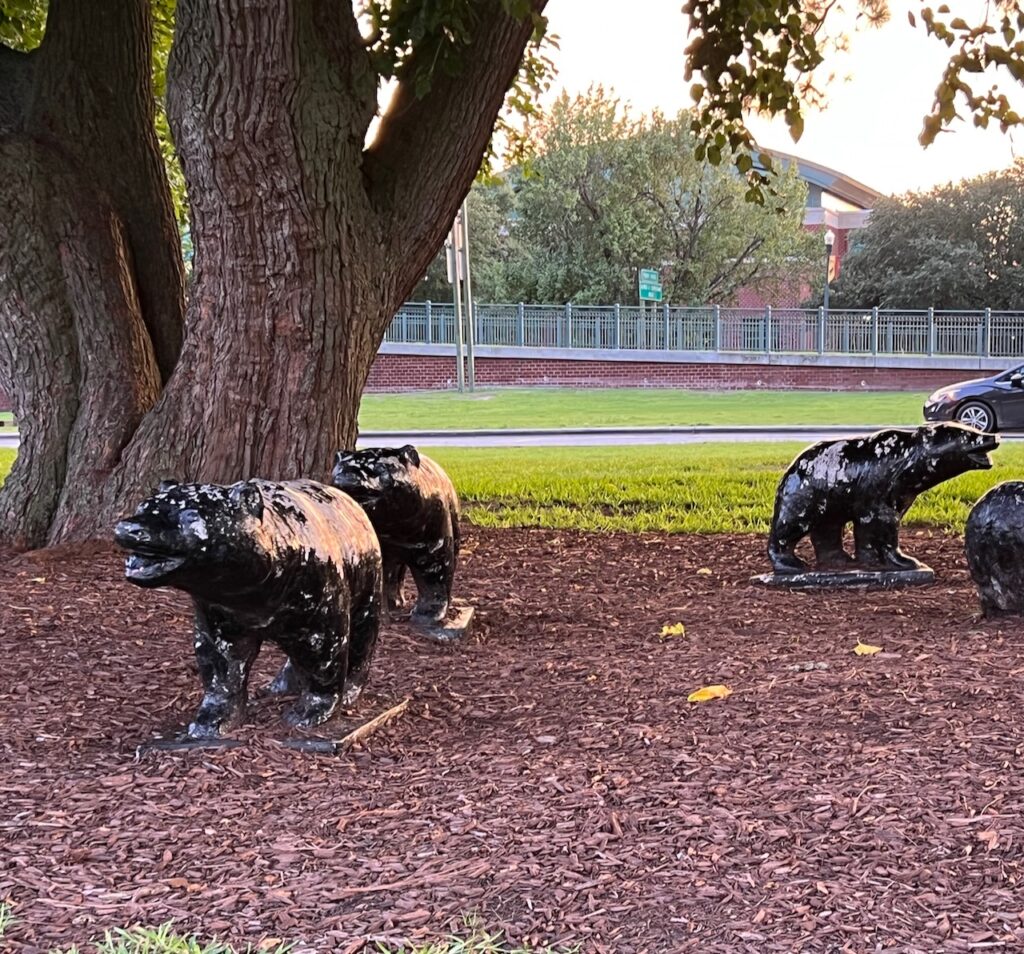
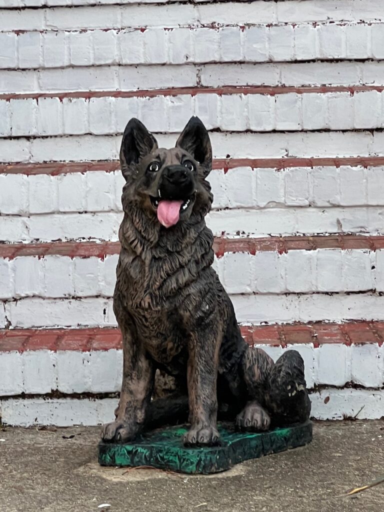
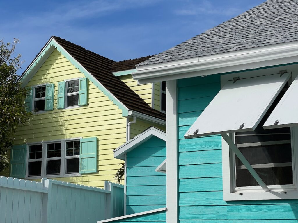
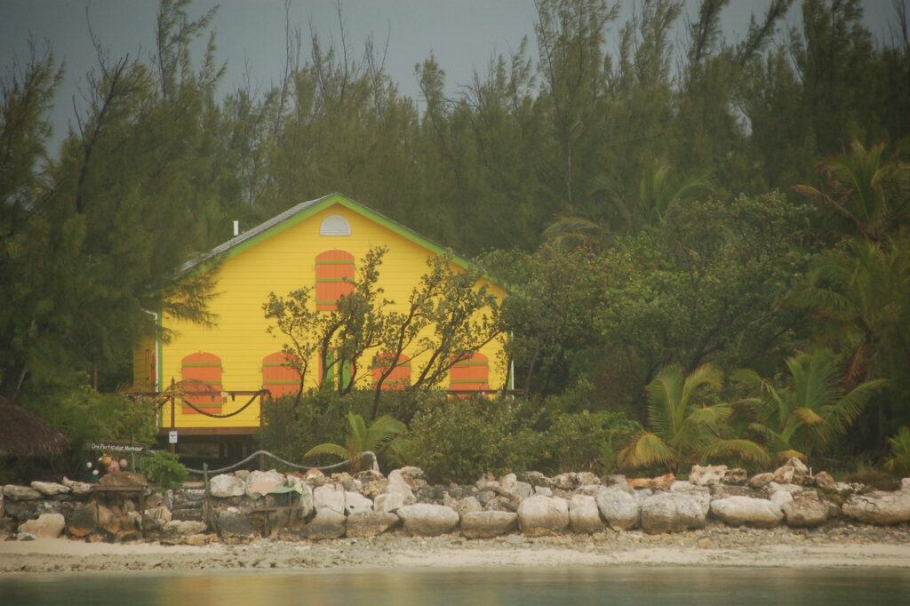
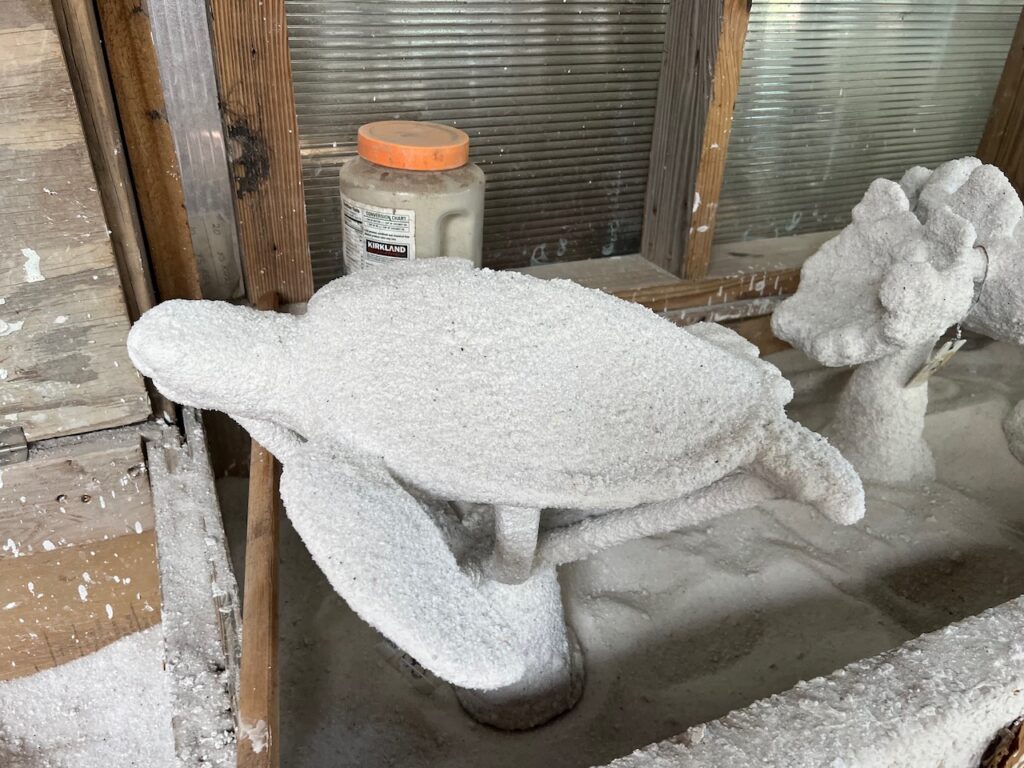
Okay, not bears, but I think the owners of these properties wanted equal time…
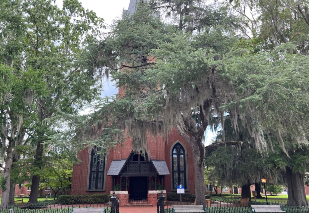
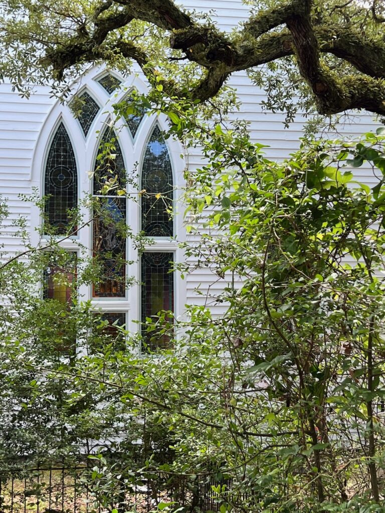
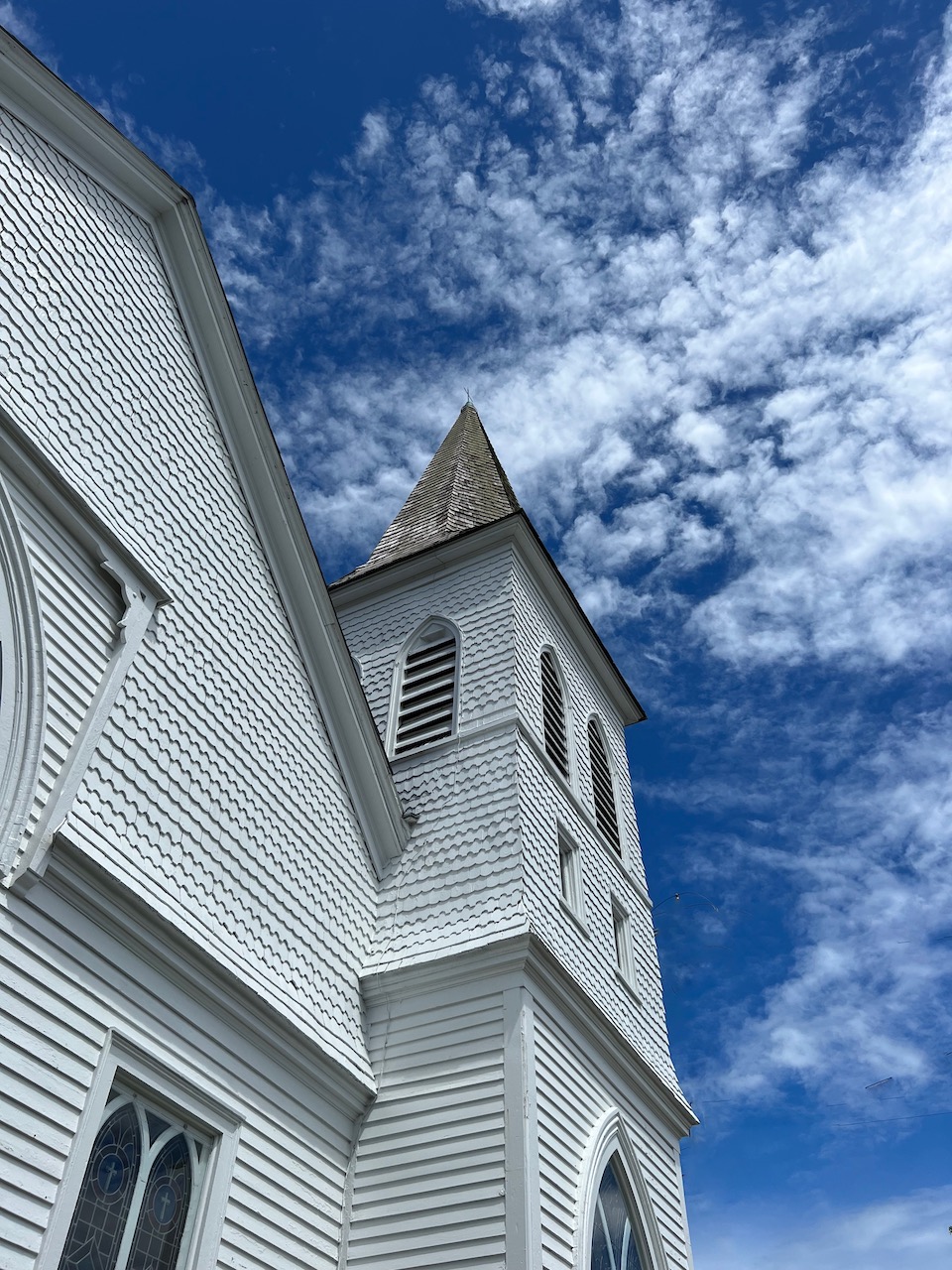
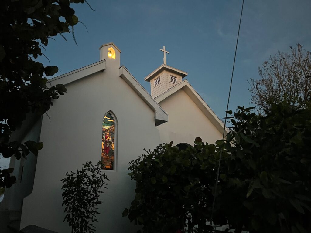
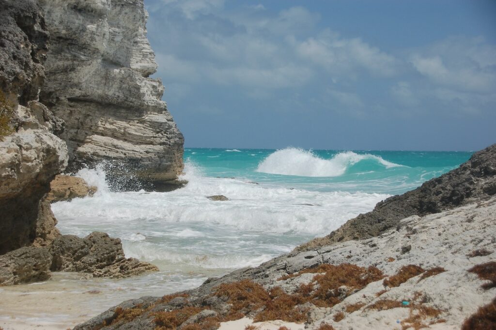
Besides bears, New Bern has some exotic architecture. This is Christ Episcopal Church. It had an unusual mix of brick, wood and ornate stained glass which lent it a European feel.
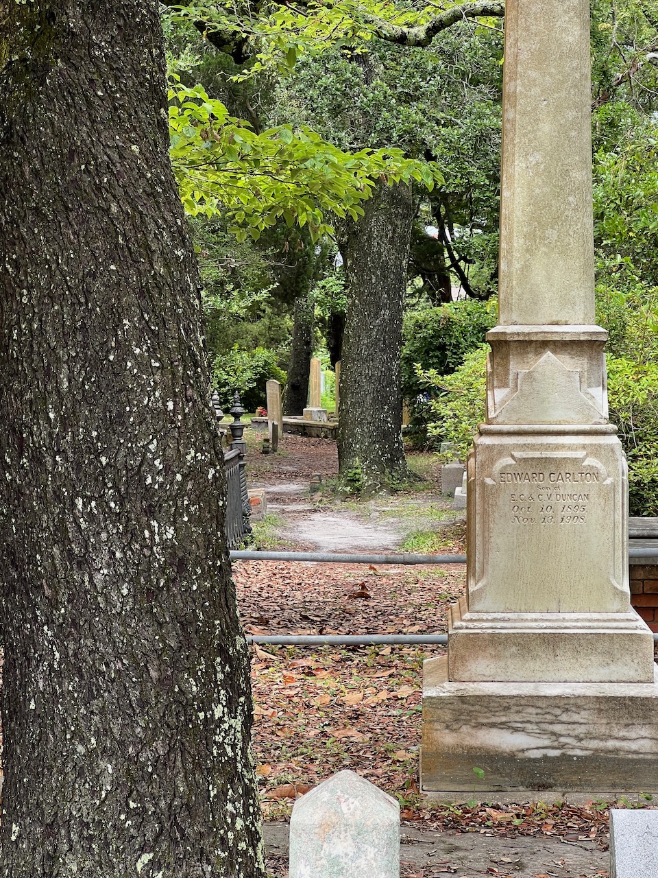
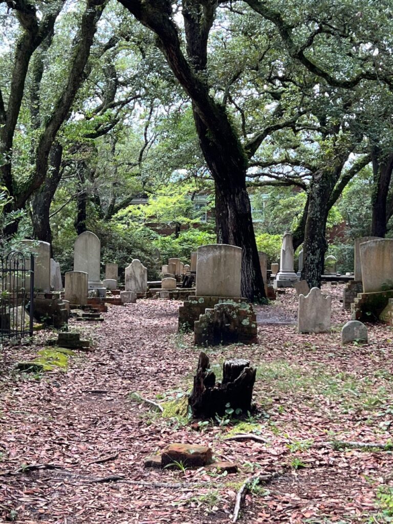
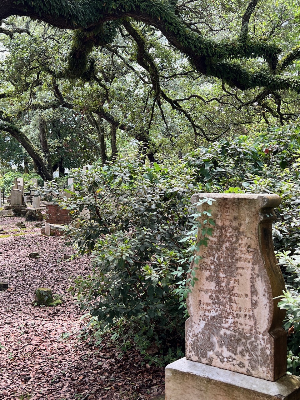
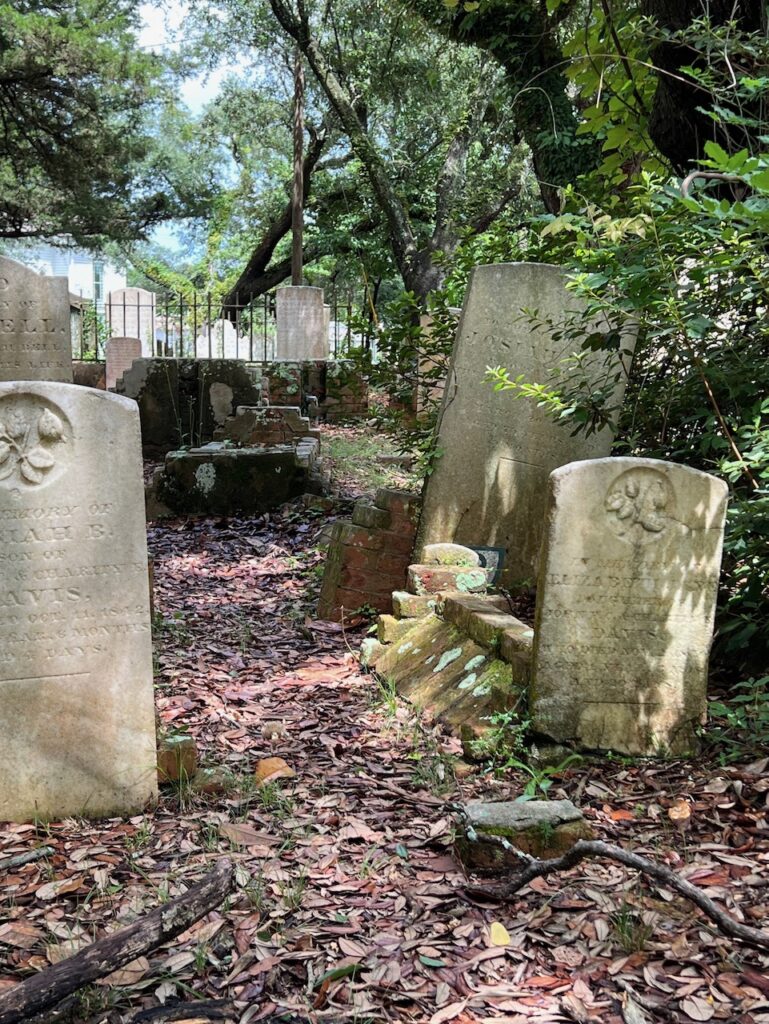
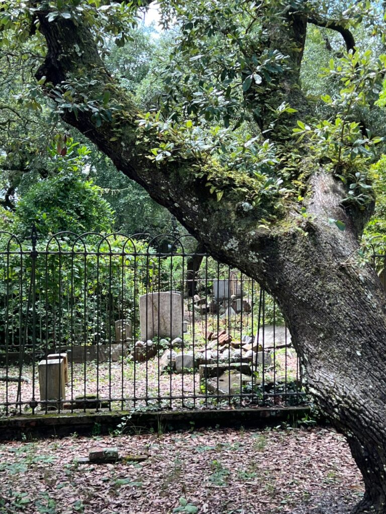
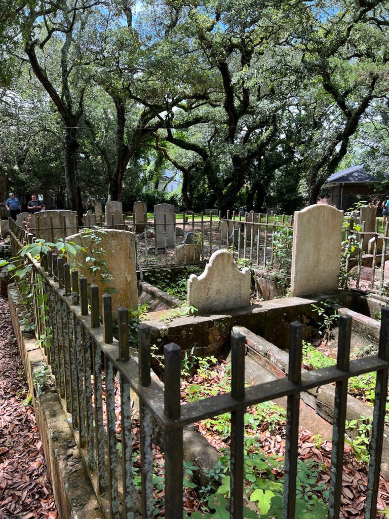
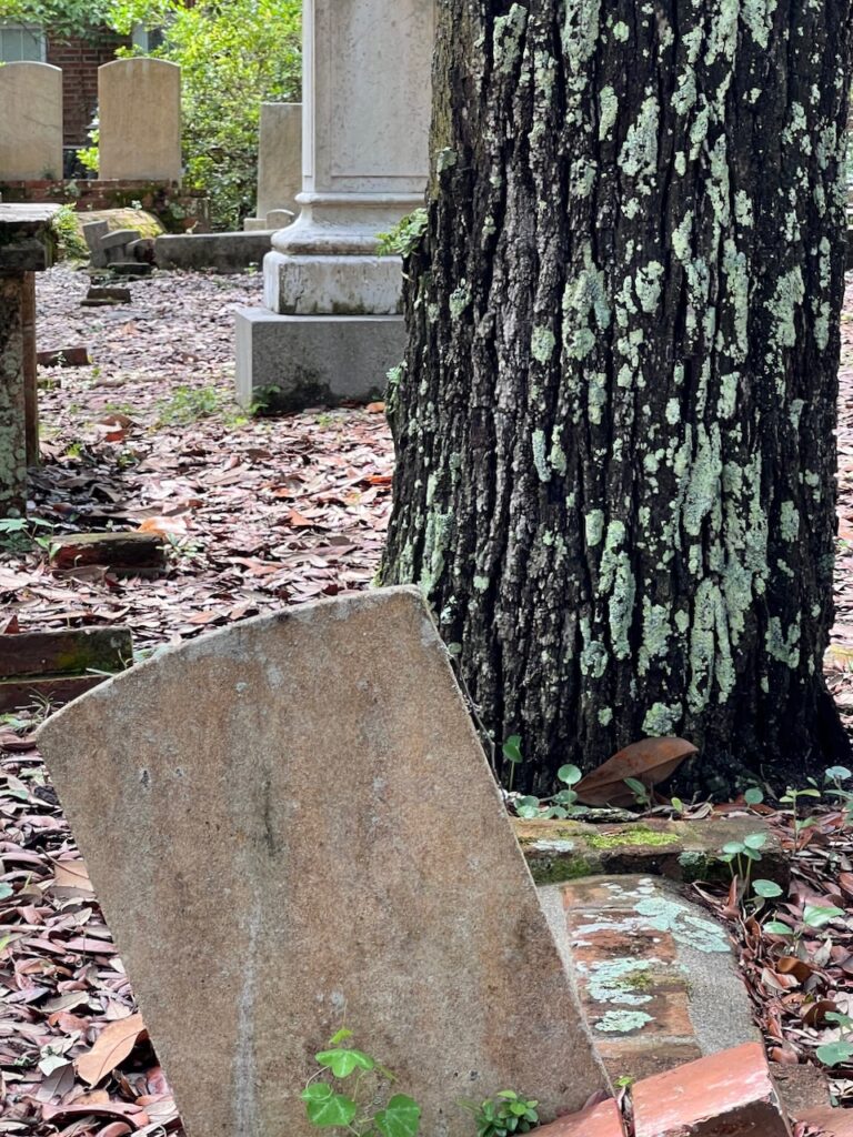
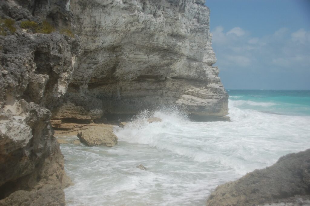
So said the woman at the Beaufort Historical Society who suggested it as a walking tour; she was not wrong. The site was established in 1709 and contains remains from the Indian wars from that period as well as, later, members of the United States Colored Infantry (former slaves who fought on the Union side during the Civil War), sea captains and sailors whose ships sank off the coast of North Carolina and, of course, residents of Beaufort.
The Old Burying Ground is listed on the National Register of Historic Places and is now managed by the Historical Society.
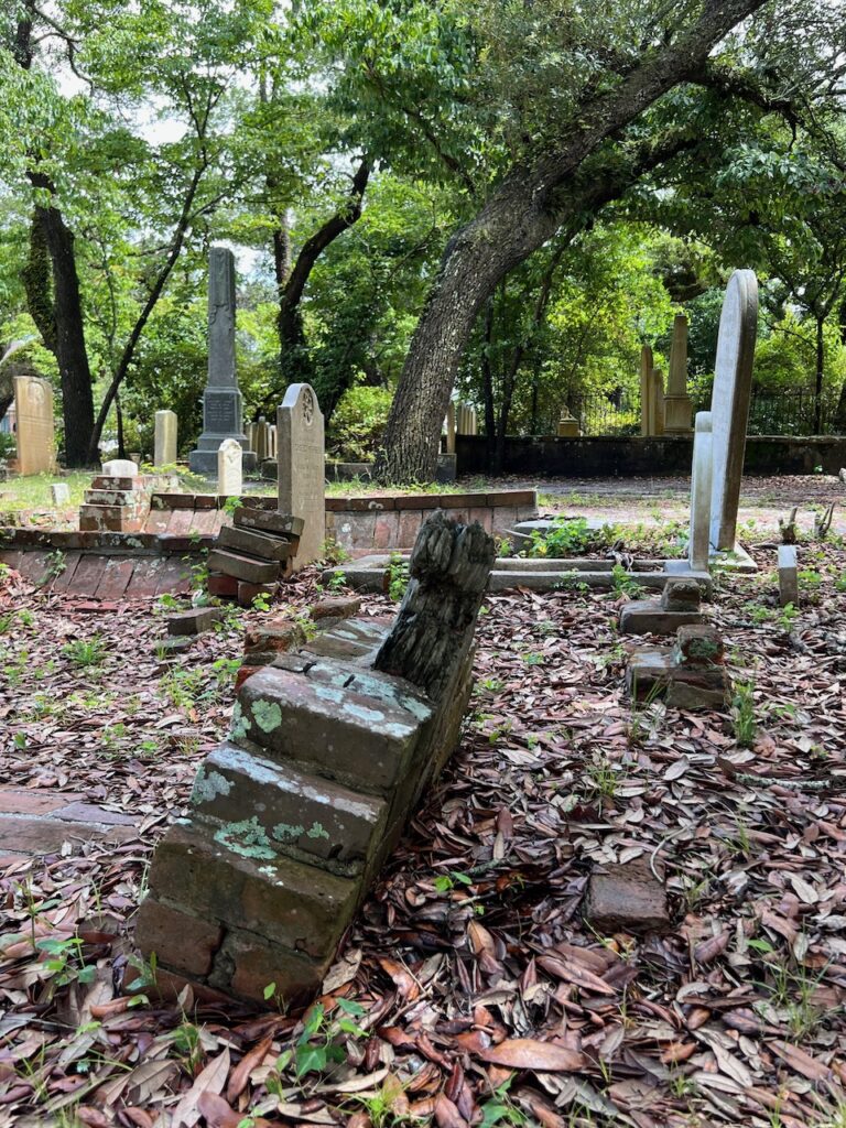
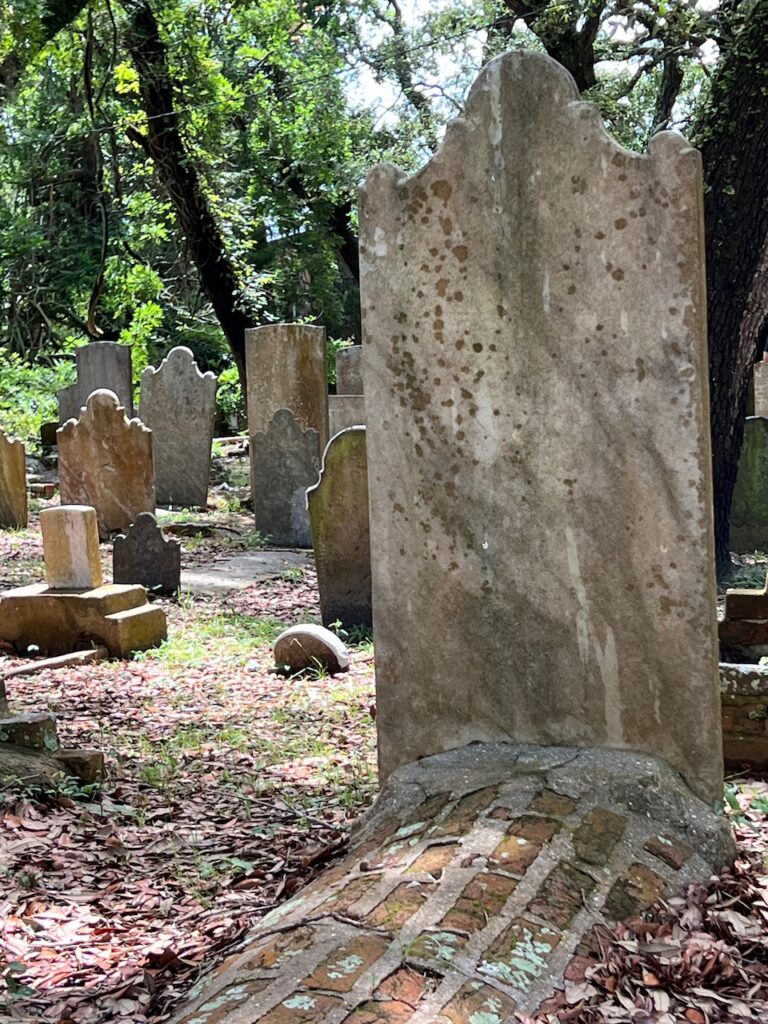
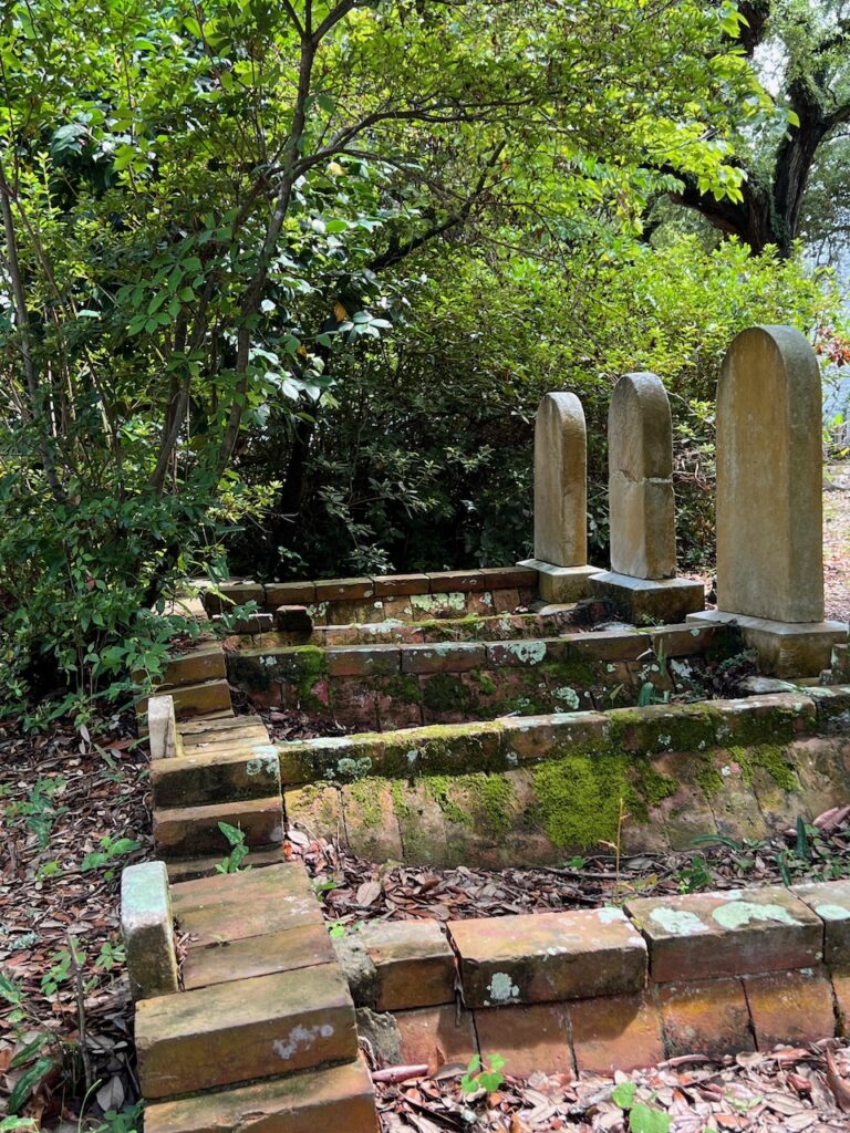
Some of the oldest gravesites are marked with brick as headstones needed to be imported.
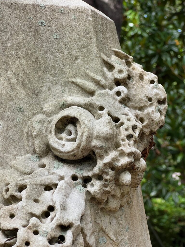
Many of the headstones have lost their identity with age. 1756 is the oldest legible date but not the oldest grave.
During the time these graves were created, it was customary to brick them over to protect the remains from animals and water.
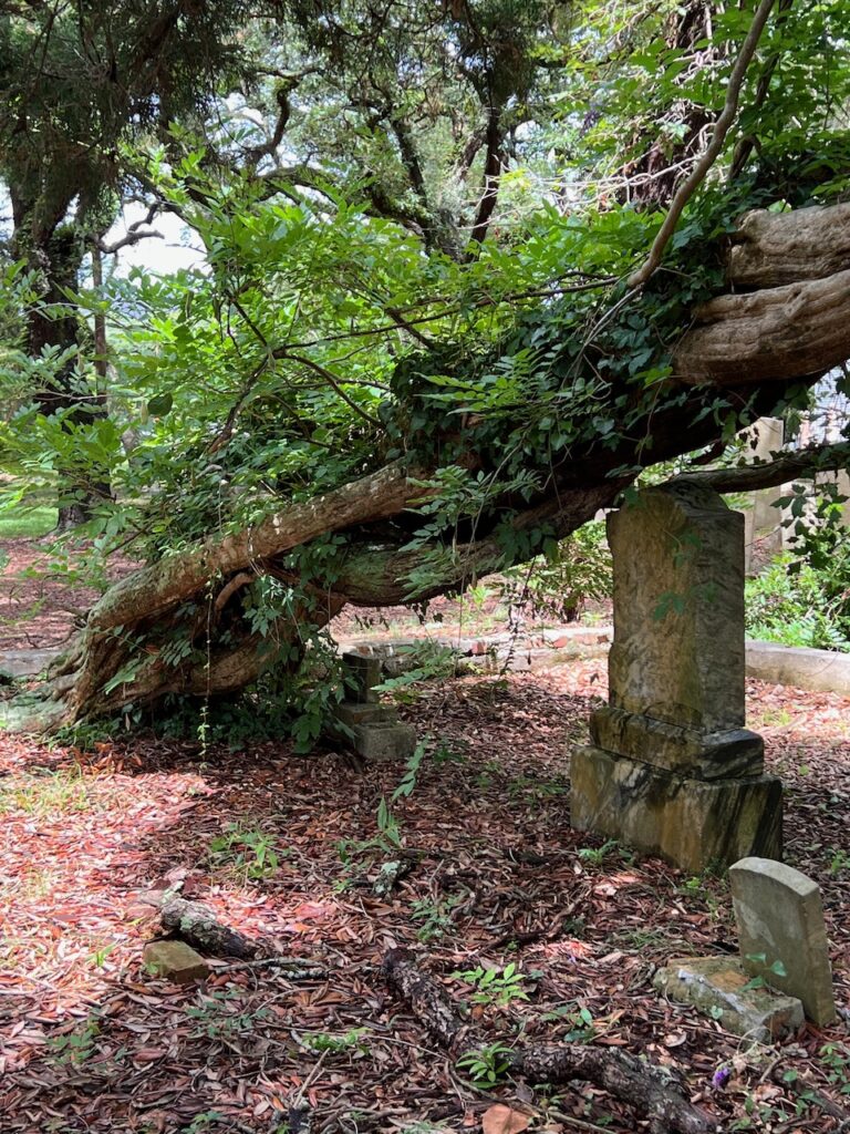
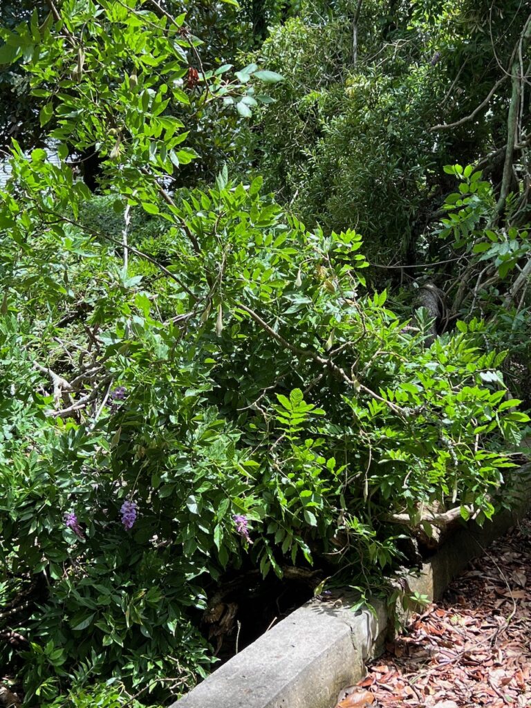
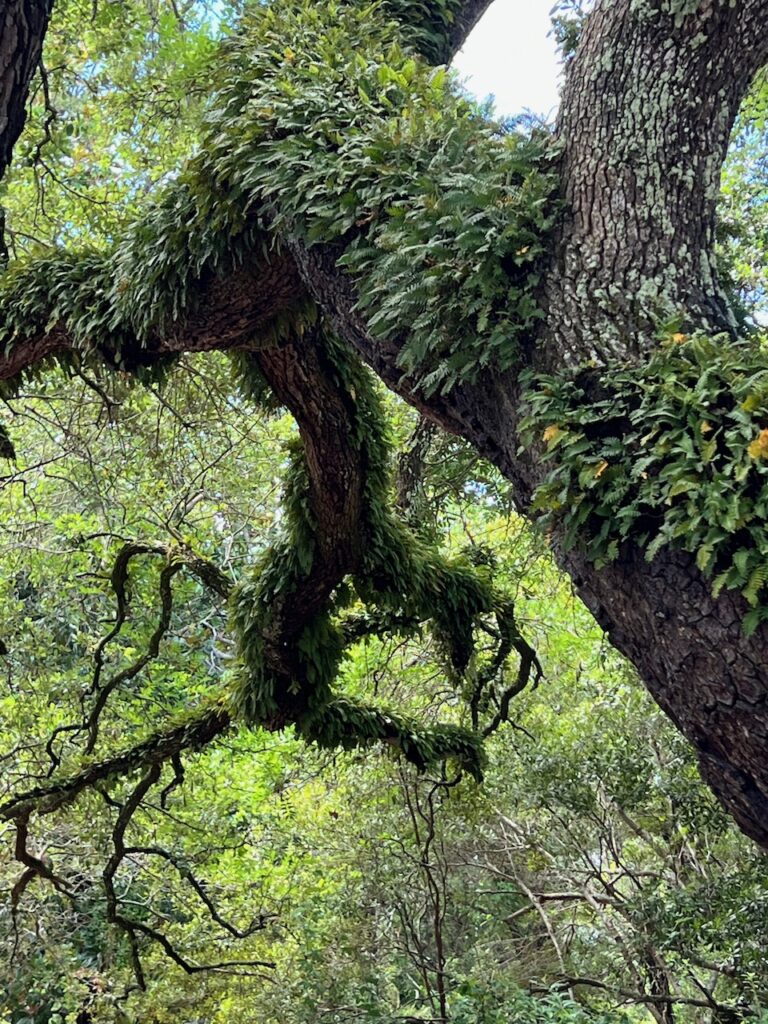
Old wisteria vines and trees guard the gravesites in the Old Burying Ground.
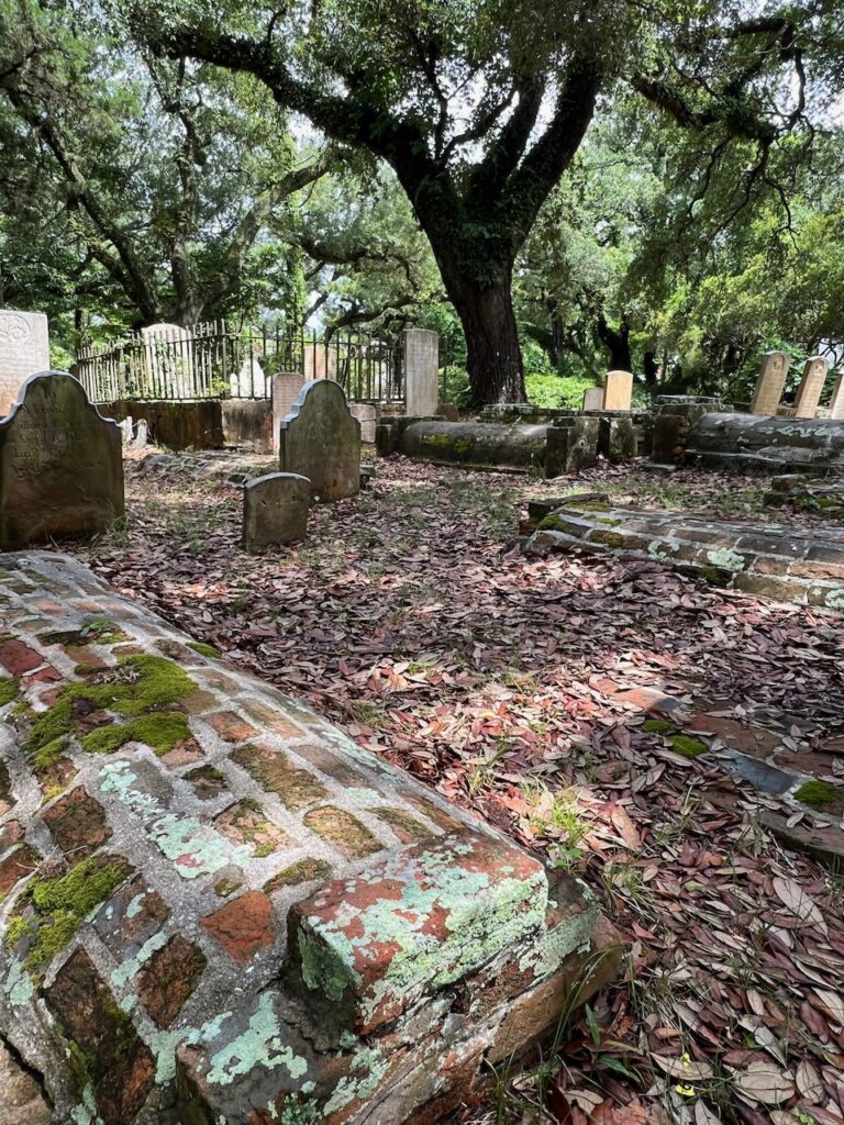
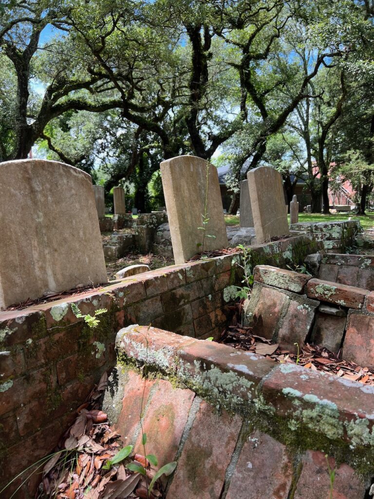
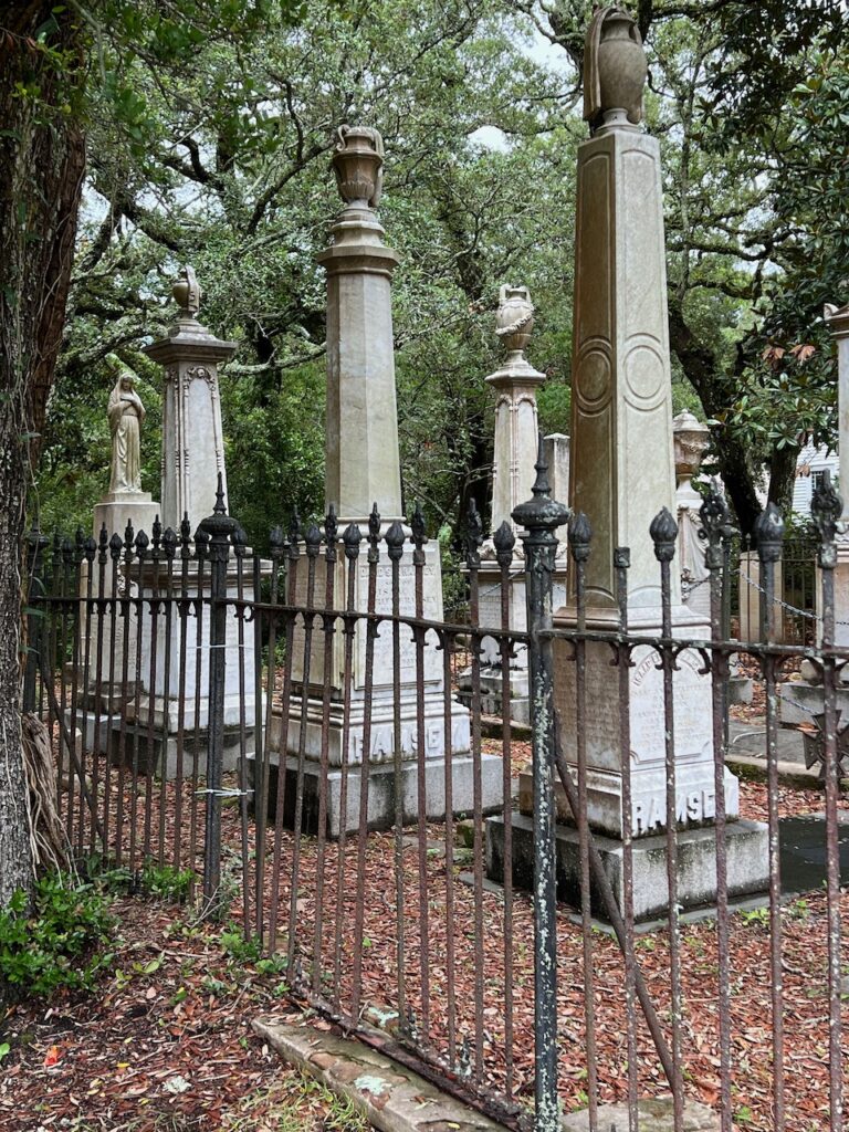
Family plots were common and spanned the decades represented in the Burying Ground.
The Historical Society provides a map to tour the Burying Ground. It contains stories about the graves and their occupants …
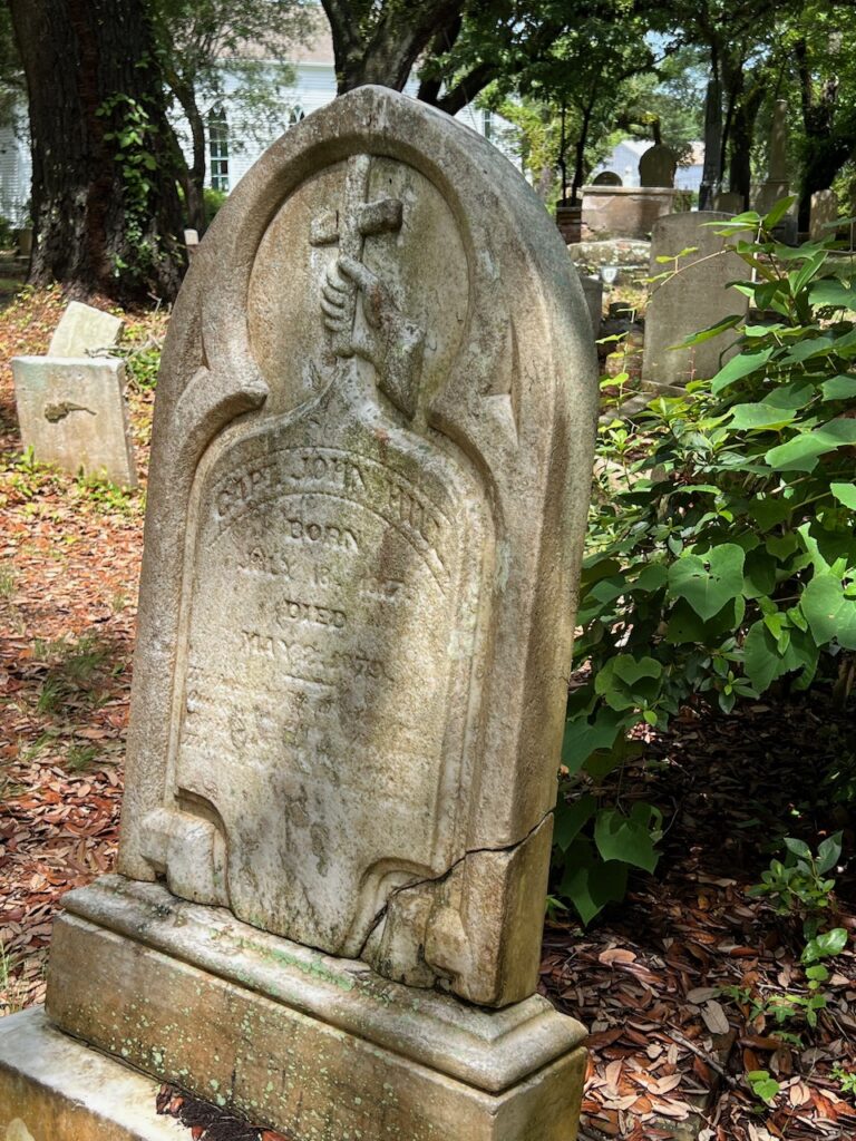
… Captain John Hill (1817-1879) We liked the inscription on his headstone:
“The form that fills this silent grave
Once tossed an ocean’s roiling wave,
But in a port securely fast,
He’s dropped his anchor here at last.”
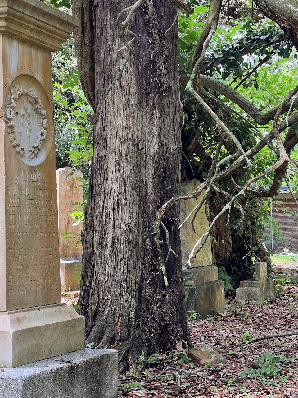
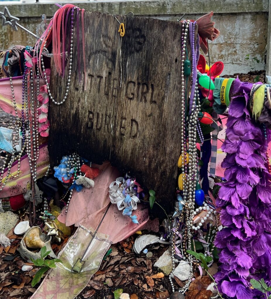
… Sarah Gibbs (-1792) Sarah was married to Jacob Shepard who was lost at sea. She re-married Nathaniel Gibbs and had a child by him. Several years later, Jacob returned… Nathaniel and Jacob agreed that Sarah could remain with Nathaniel while alive but that she would spend eternity with Jacob. His is the grave next to hers.… Girl in a Barrel of Rum. This child died on a return trip from London in the 1700’s. Her father had promised her mother that he would return the girl safely when her mother agreed to the trip. Normally, she would have been buried at sea but her father wanted to keep his promise so he brought her home in a barrel of rum.… Vienna Dill (1863-1865) This child was buried in a glass-top casket.
Or summering in South Carolina. We added four additional weeks to our wonderful one week vacation on Kiawah Island which is why we hadn’t moved if you’ve been watching. The add was not altogether voluntarily and certainly not planned; we limped into the marina with a slipping transmission and no windlass for the anchor. We assumed that we would enjoy the week on Kiawah while waiting for the replacement parts, complete the repairs then move on. I think the shipping companies went on vacation, too…
If nothing else, this adventure has taught us to be flexible and, as all of the envious vacationers we met in the marina were quick to remind us, there are worse places to get stuck…
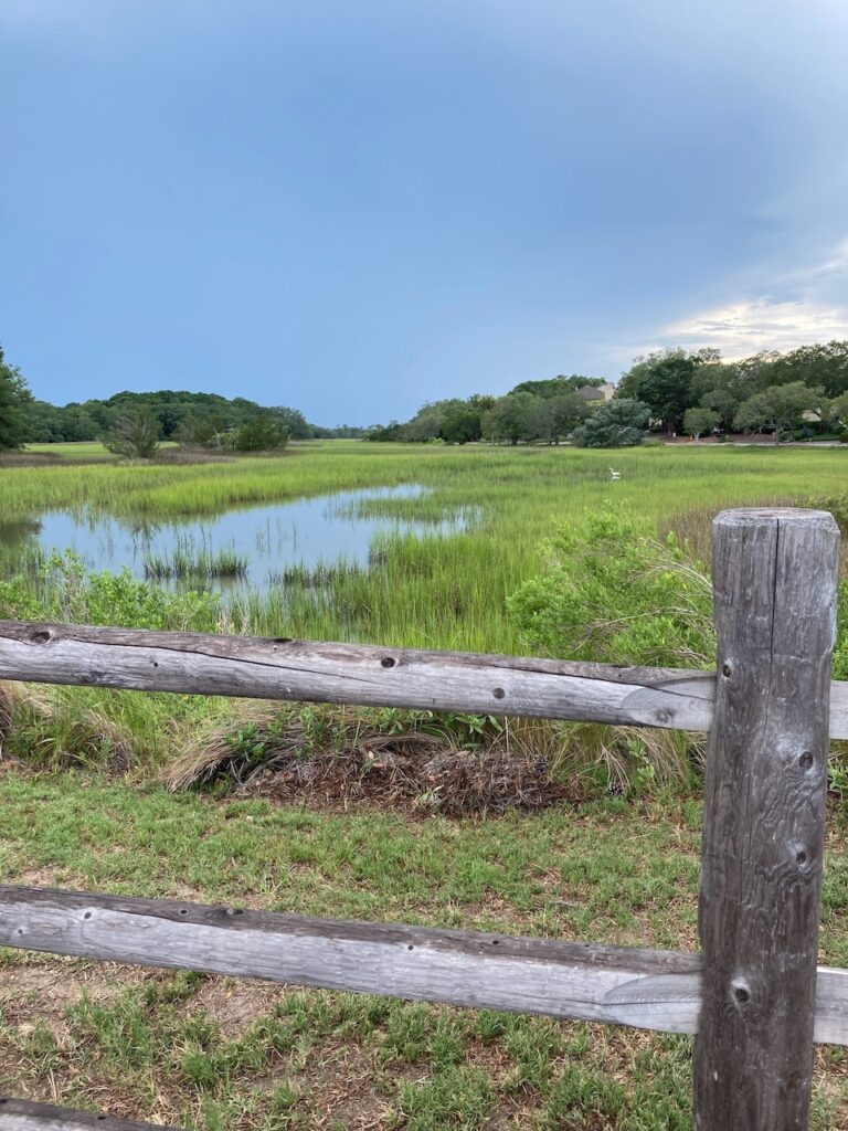
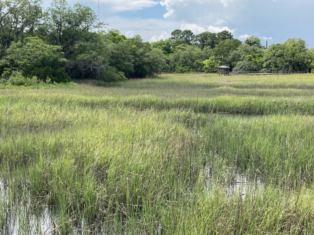
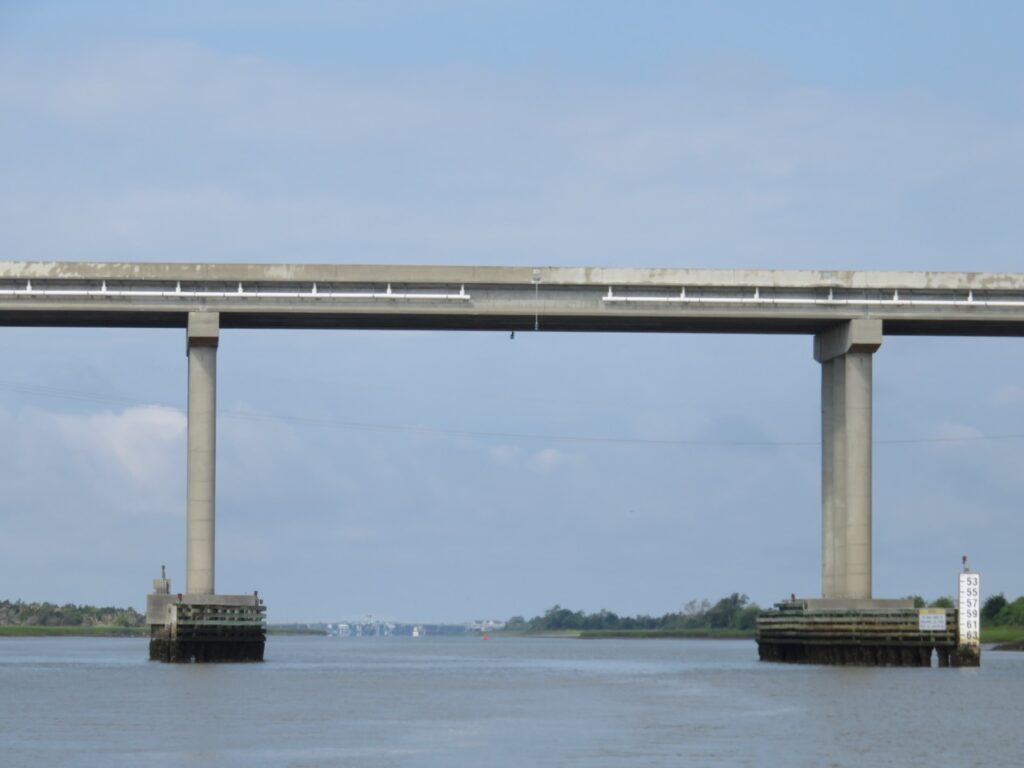
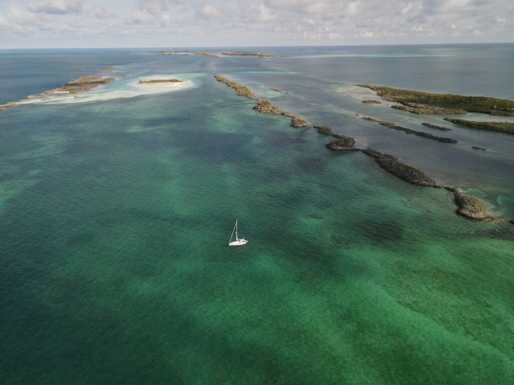
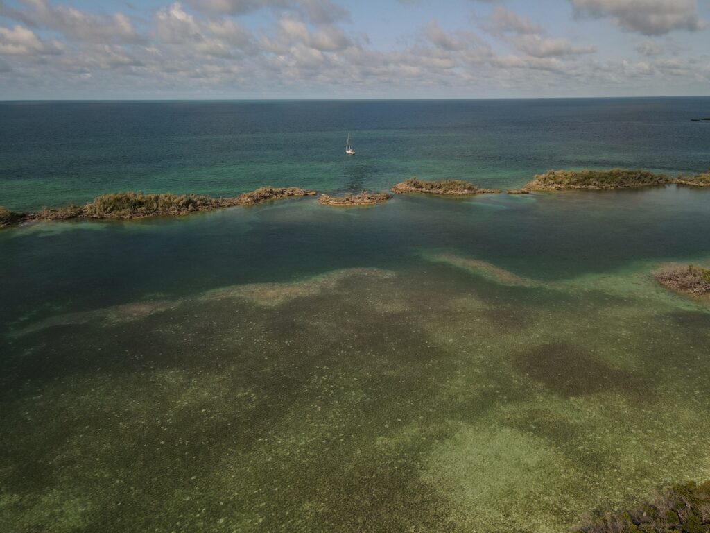
Bohicket Marina, our home for 37 daysFor 35 of the 37 days we were here, the weather was perfect! (And being on the dock meant we had power for AC👍👍😊)This area is called the Low Country because of its beaches, estuaries and tidal salt marshes… water is never far from solid land.Inland is not too shabby either…Our last part arrived on Thursday July 7th. This is a snapshot of the weather the evening before we left… and has been what we have been contending with ever since. We are now moving again!In addition to dodging thunderstorms, this section of the Atlantic ICW is rife with bridges and power lines. If the bridge is fixed (like this one), we need to determine the correct tide we need to clear the bridge. The white board in the lower right hand corner is a bridge board and provides the bridge clearance height depending on the water level. At high tide, we would not get under this bridge so we planned to be here at low tide……which presents a whole other problem with water levels UNDER our keel. This stretch, logistically, is one of the most challenging pieces of the Loop …… but strikingly beautiful, too…
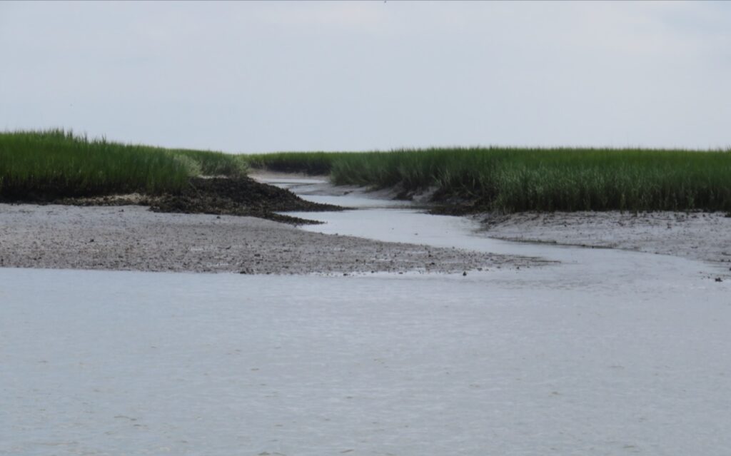
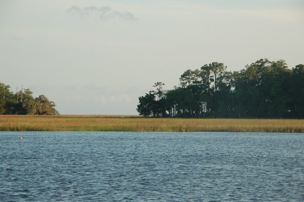
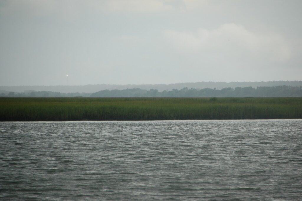
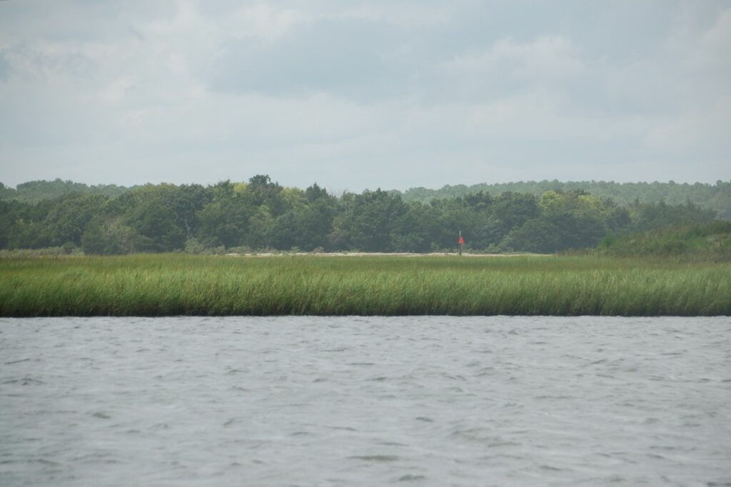
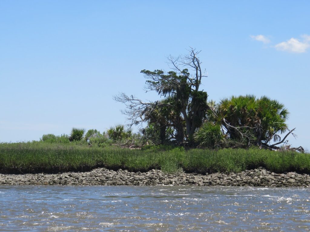
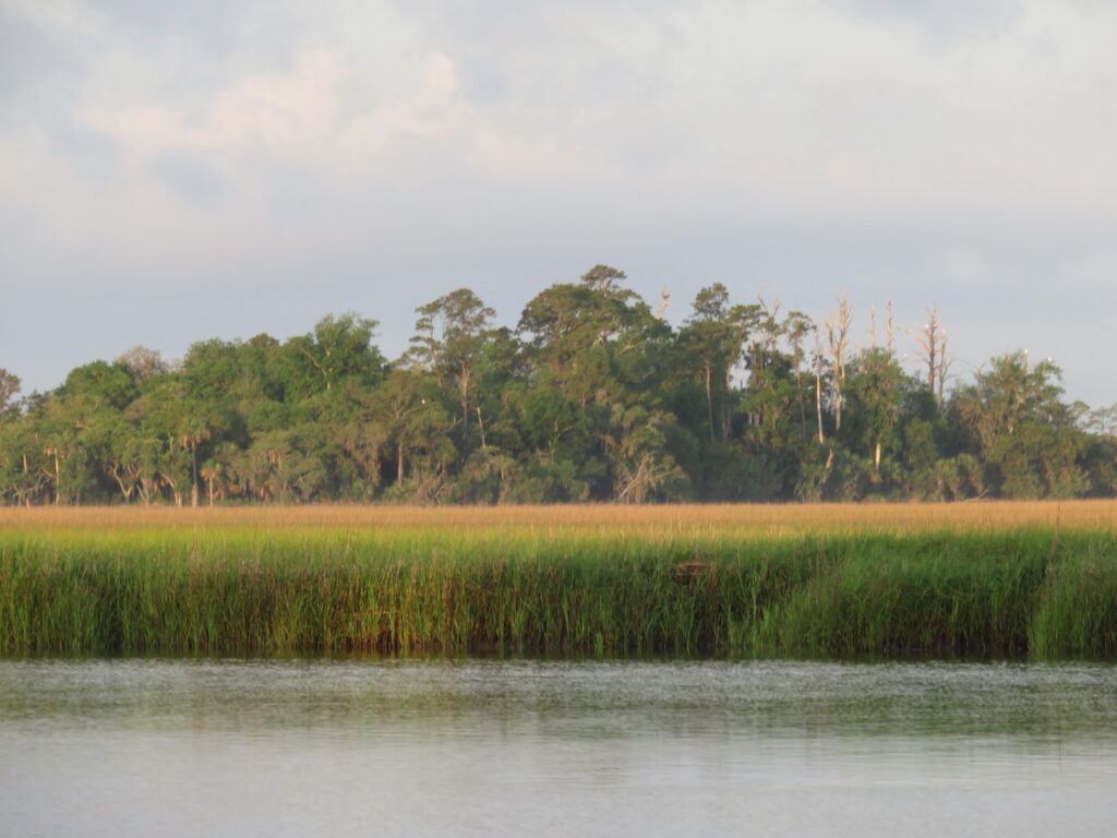
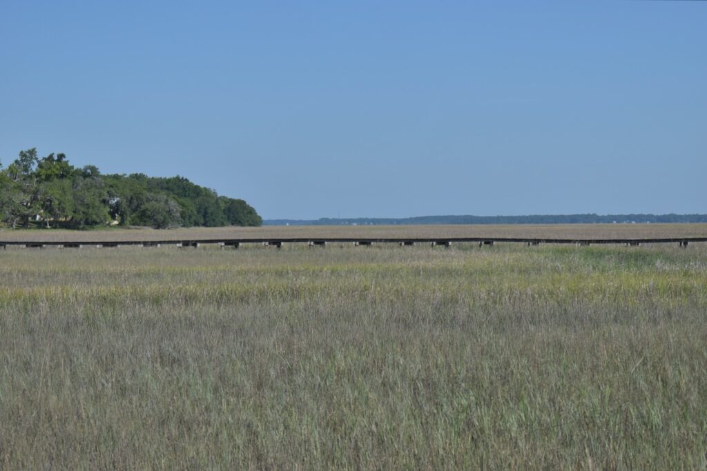
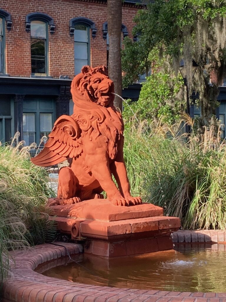
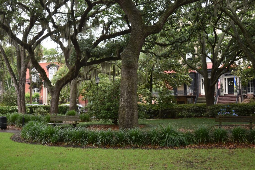
Possibly the most visually pleasing week we have spent traveling. The Atlantic ICW winds its way through Georgia bordered by endless marsh grass flats which spill into wide open bays. At the last of the bays, the Savannah River intersects the ICW and we made a trip up river to sample this southern jewel.
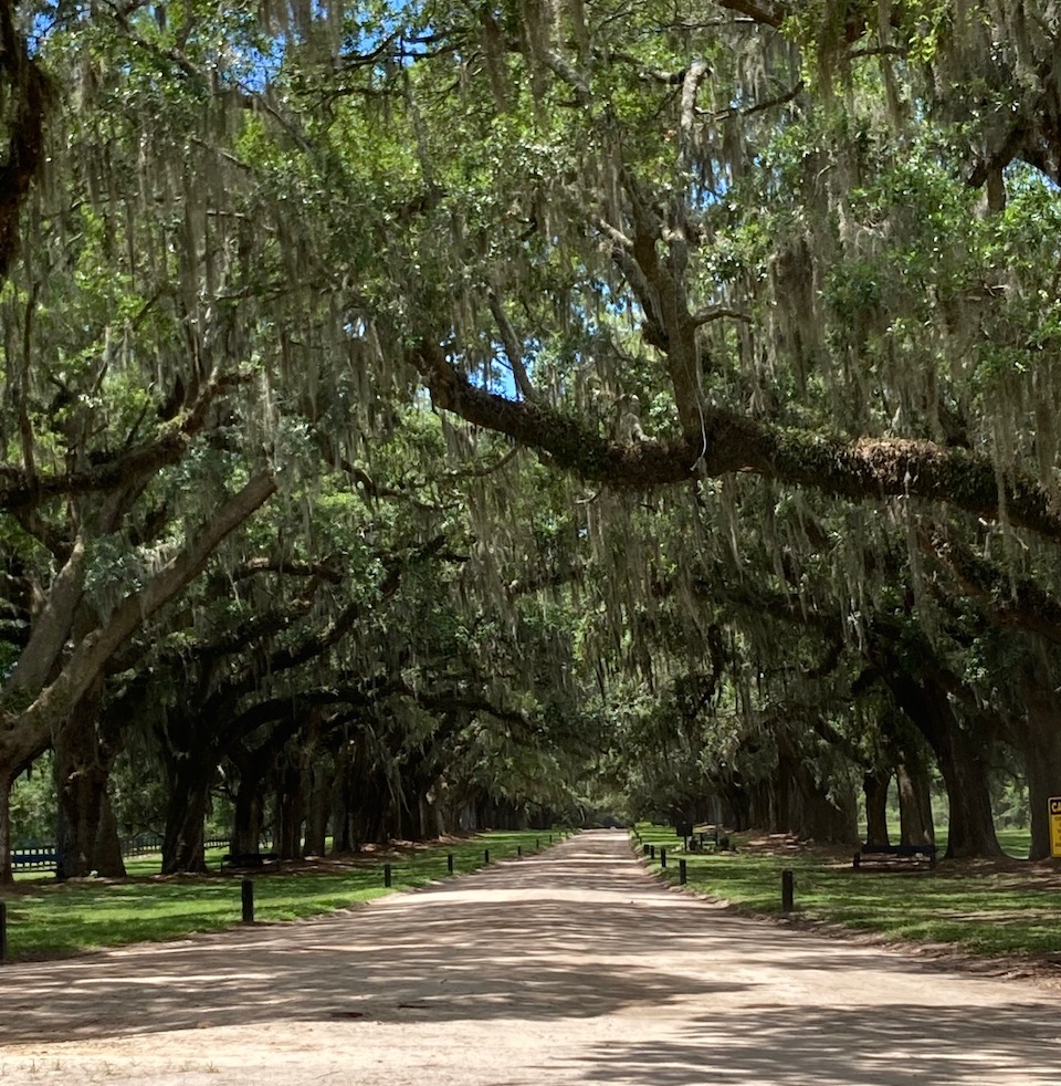
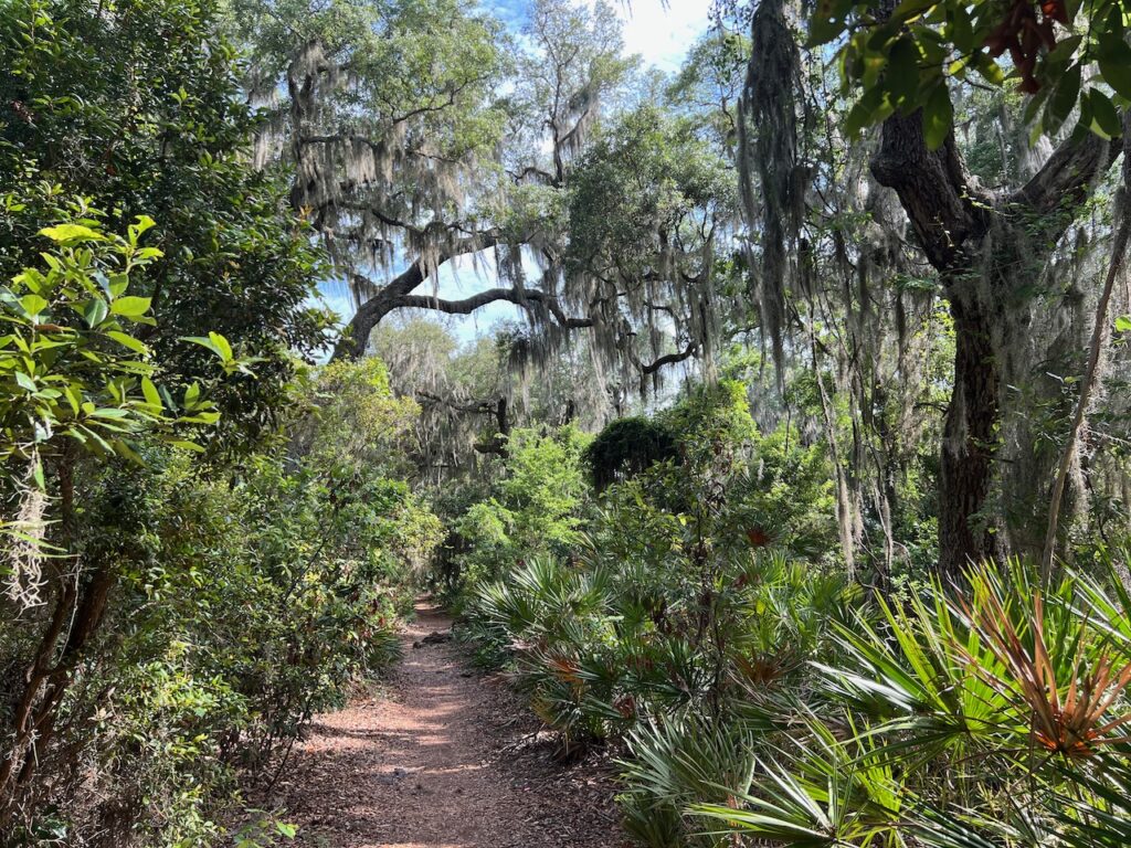
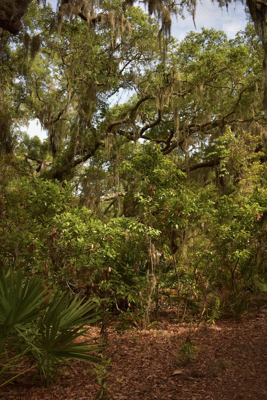
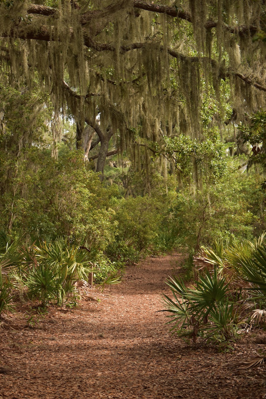
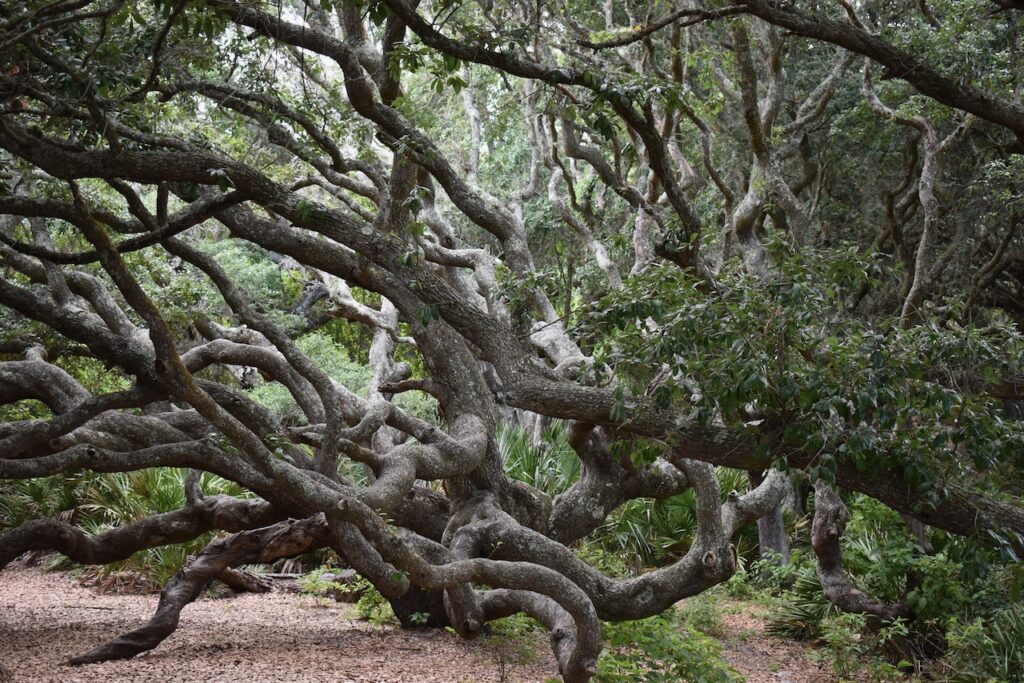
Cumberland Island’s nature trail. It led through a magical landscape of Southern Live Oaks draped in Spanish Moss.
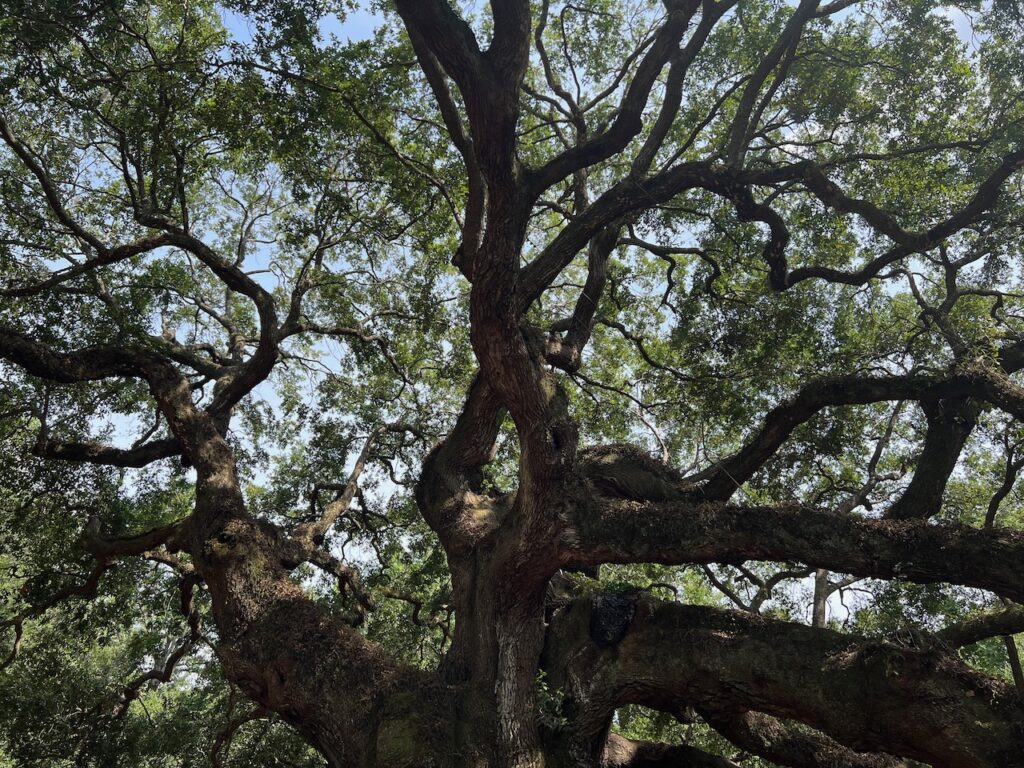
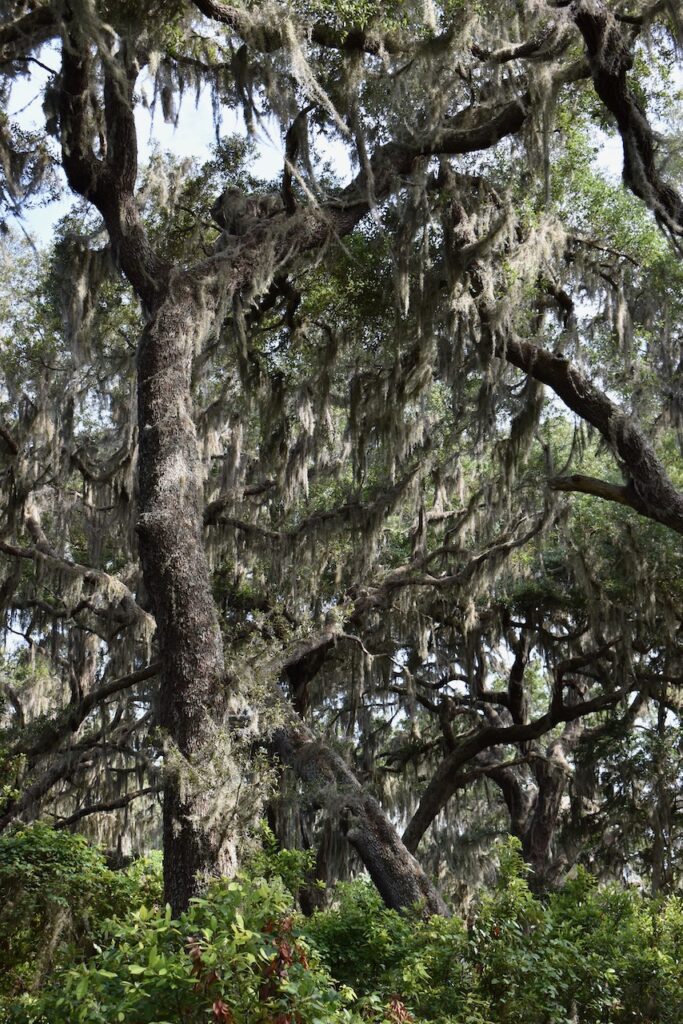
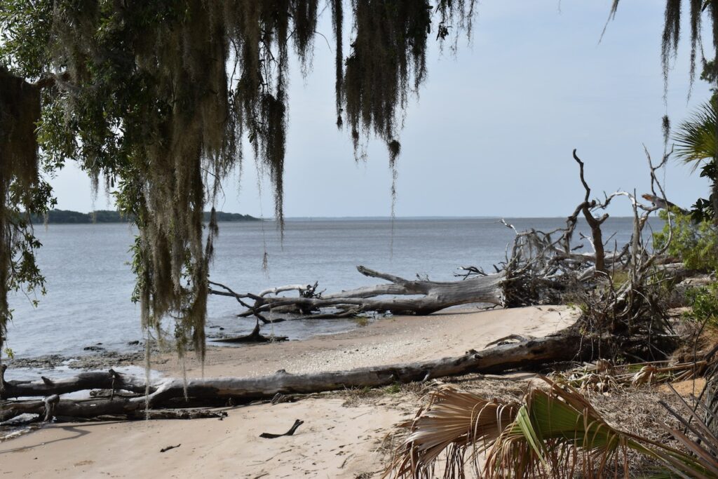
We kept waiting for a dinosaur to step onto the path…Cumberland Sound, one of the estuaries which define Georgia’s Cumberland barrier island.I never did find a ranger to ask how old this guy was… it reminded me of the ~400 year old Angel Tree in South Carolina.
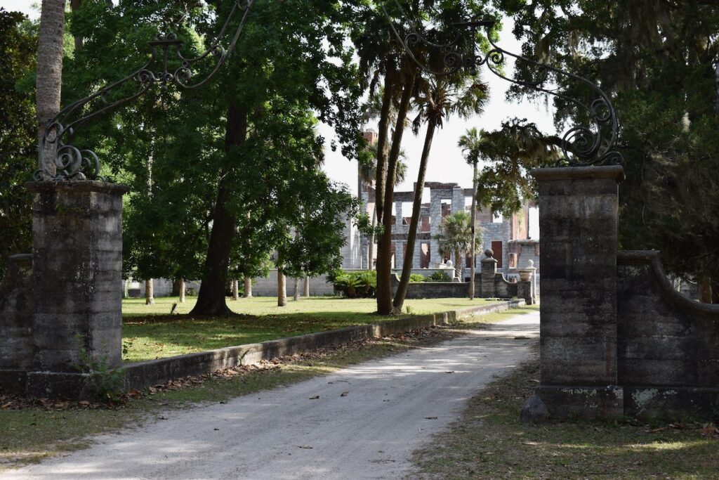
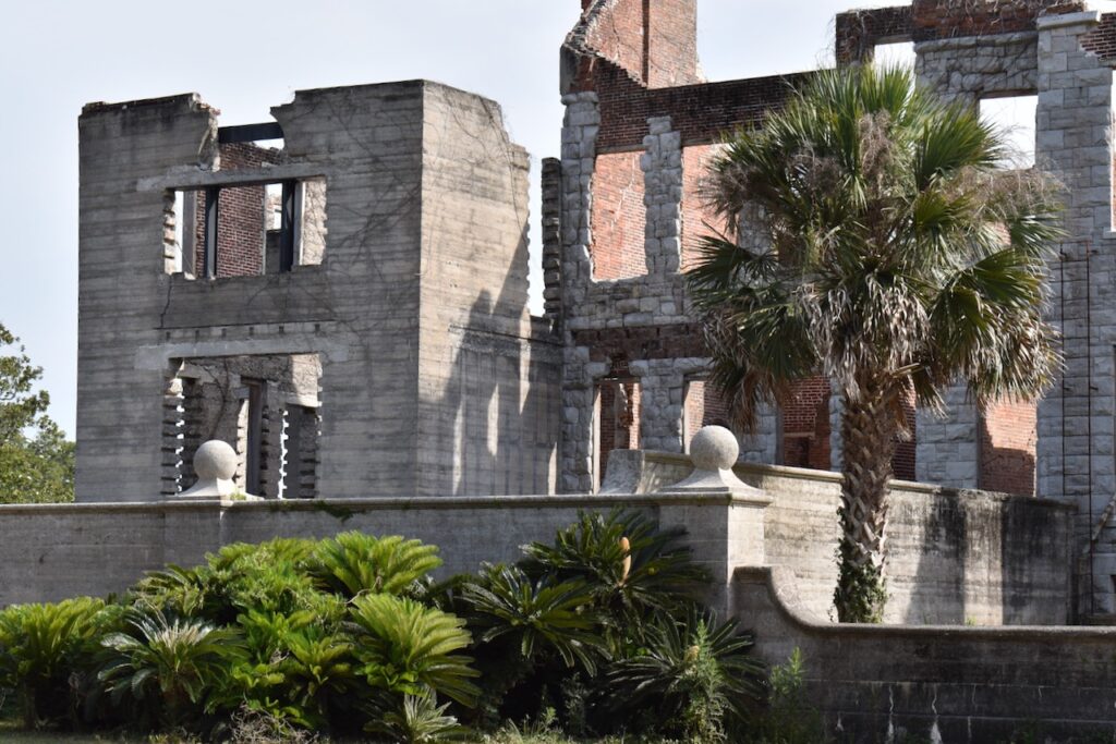
The remains of Dungeness, an old Carnegie estate.
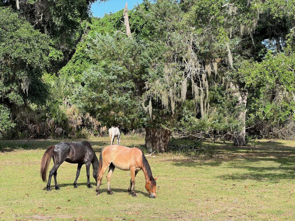
The estate included recreational fields, a carriage house, a dairy barn, multiple cisterns and gardens. Today, the only inhabitants are the wild horses who roam freely through the park.
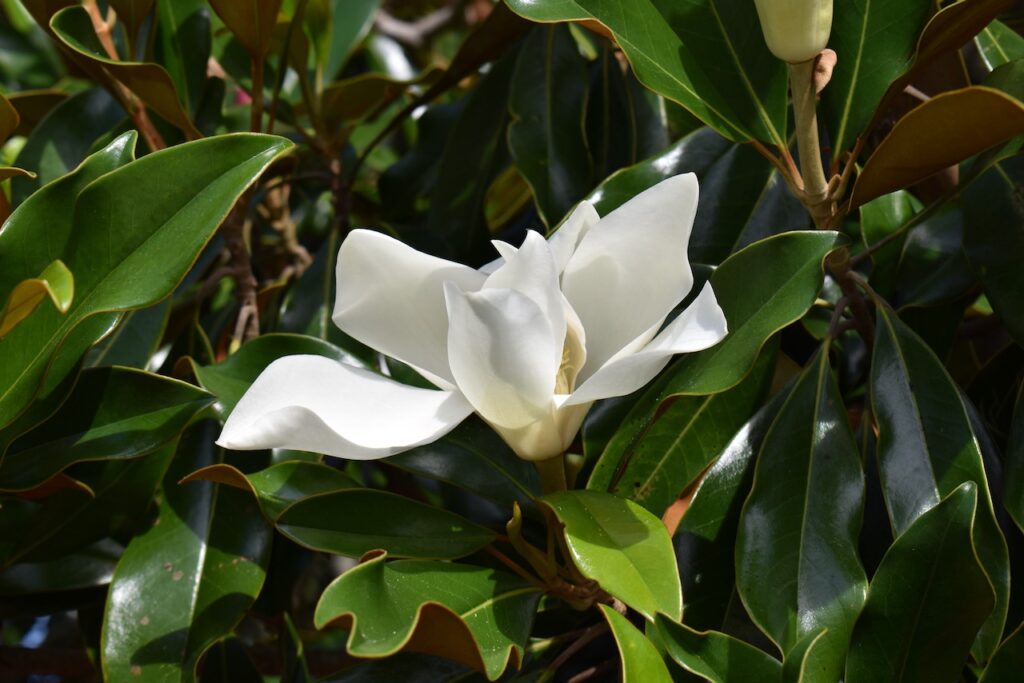
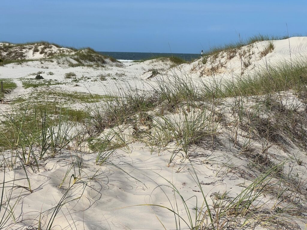
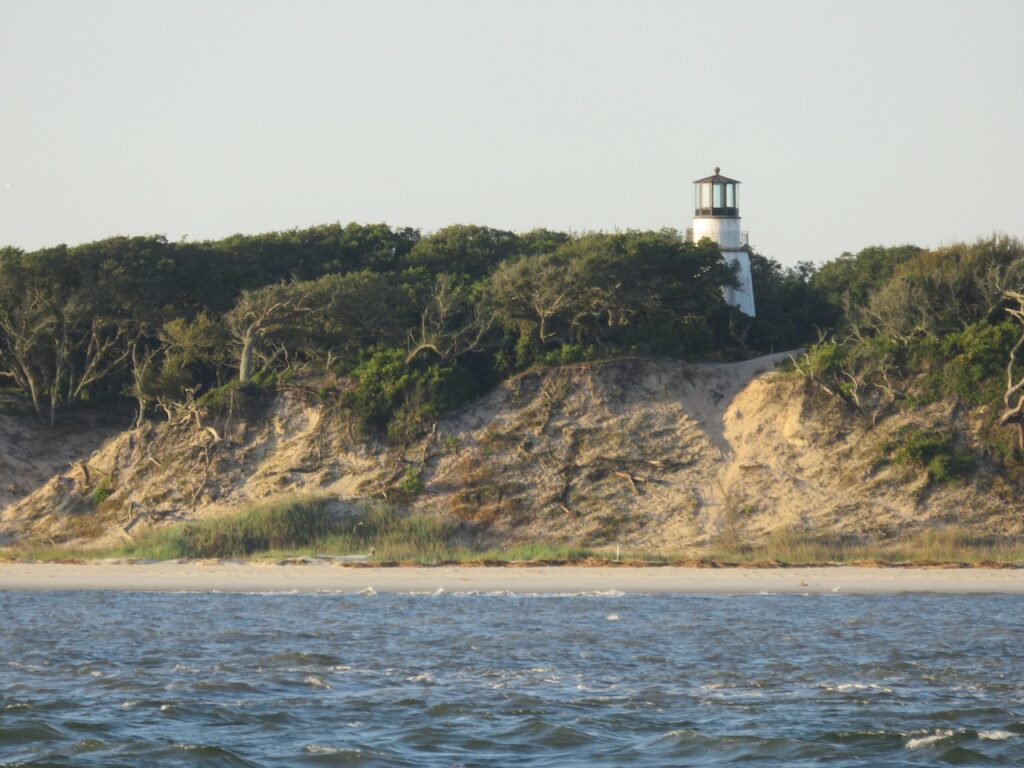
It is a shame that I can not also capture the fragrance of the magnolia…The Atlantic side beachThis should NOT be used for navigation!🤣An example of salt pruning: the wind driven salt air from the Atlantic has shaped this tree. Little Cumberland Island Lighthouse
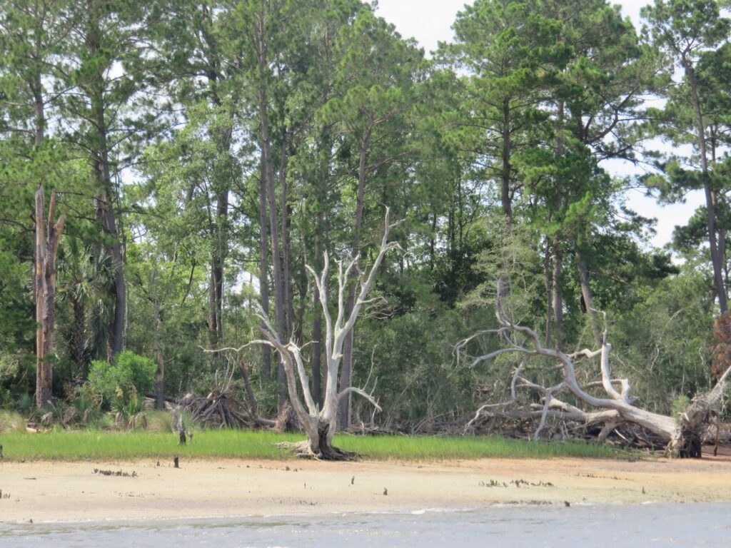
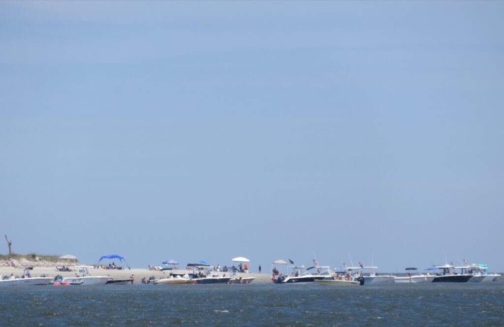
The journey up the ICW. At each of the bays the twisting river led to, sandbars at the inside of the mouth of the bay hosted “boat parties”.
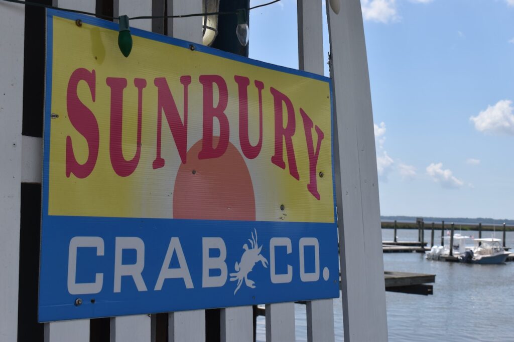
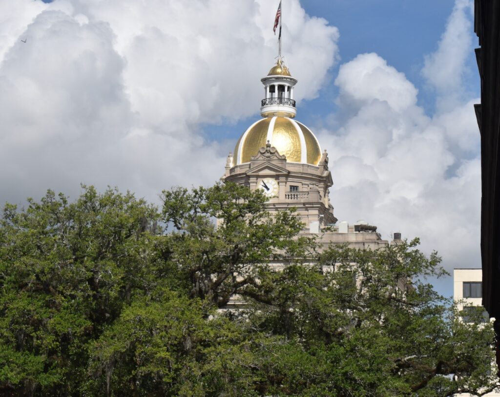
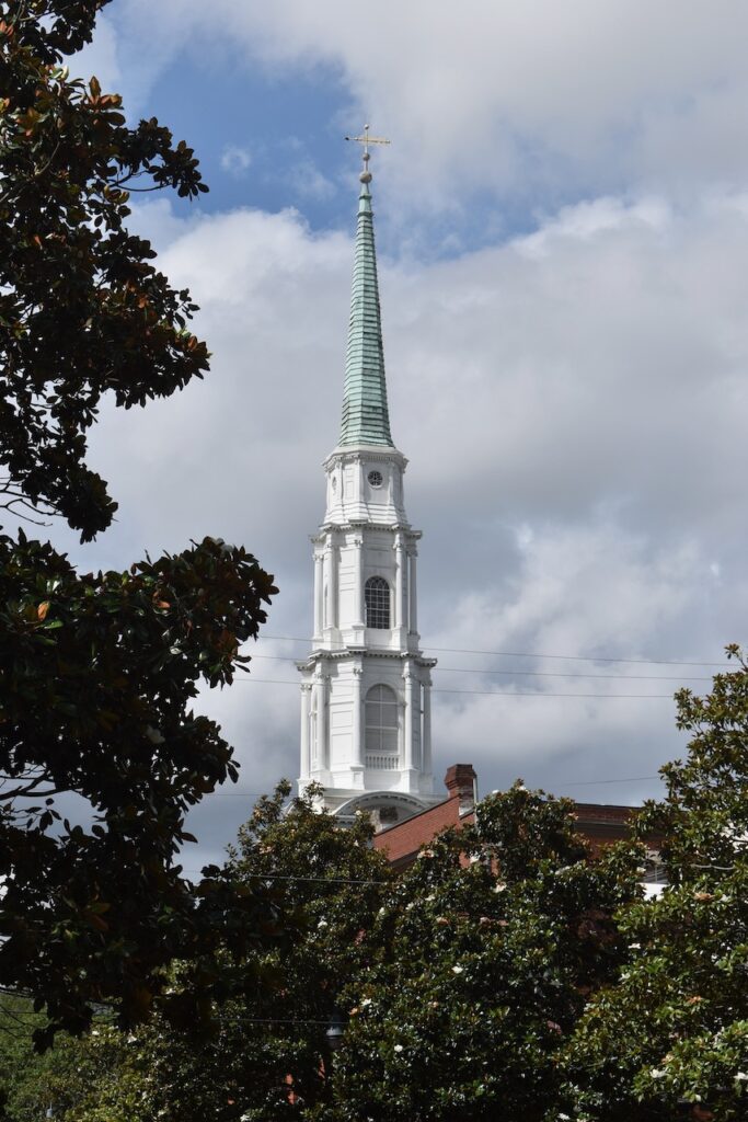
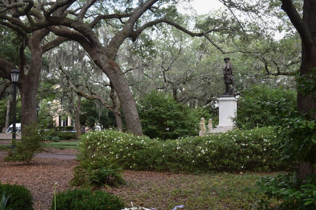
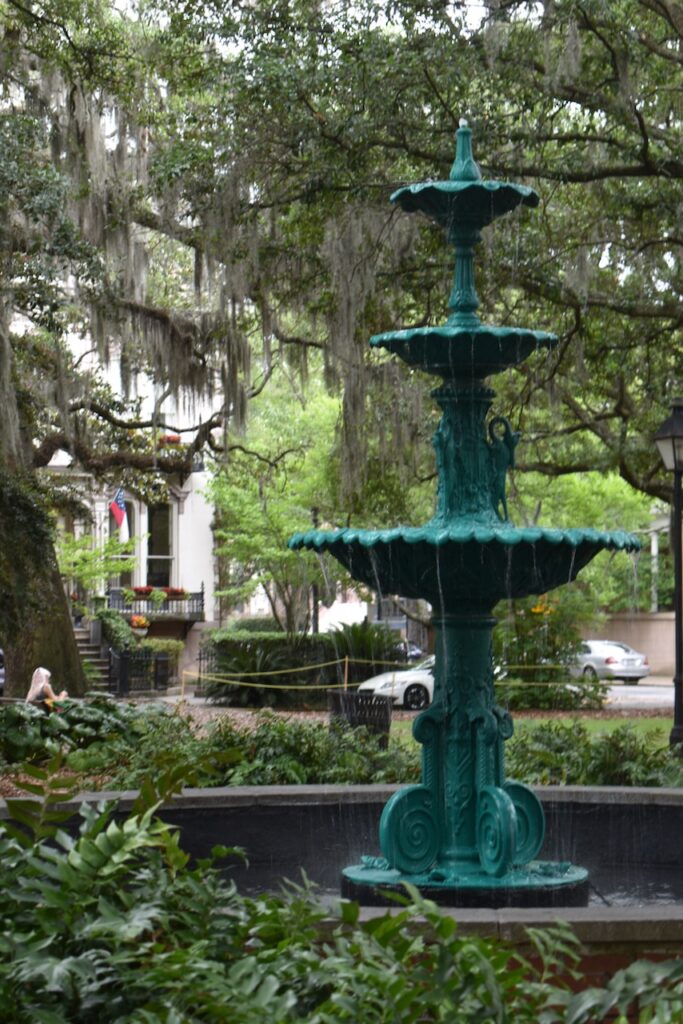
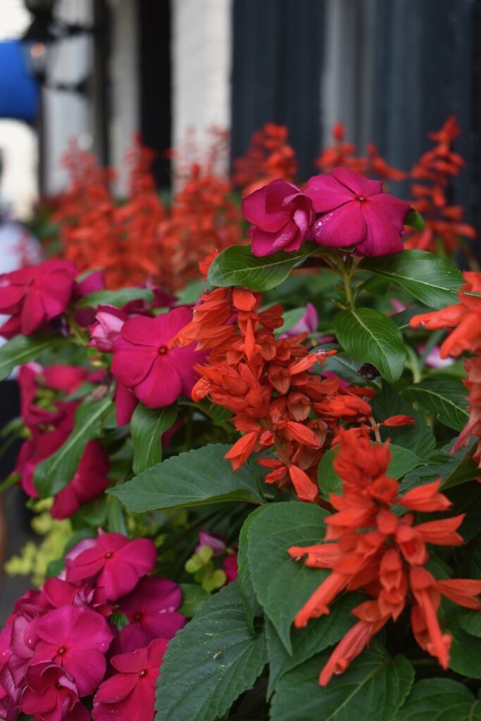
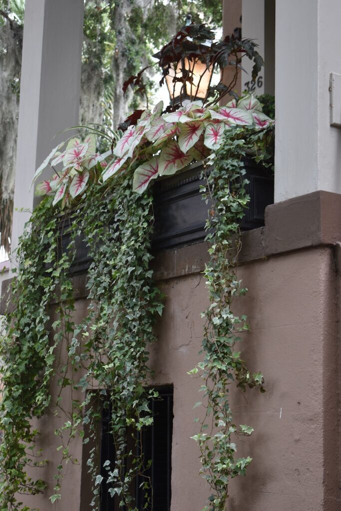
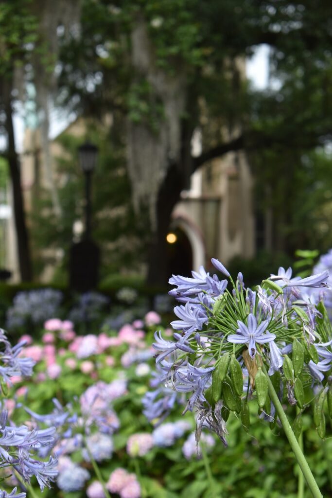
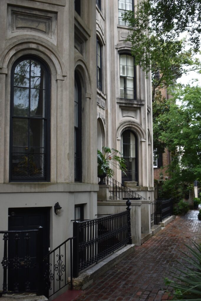
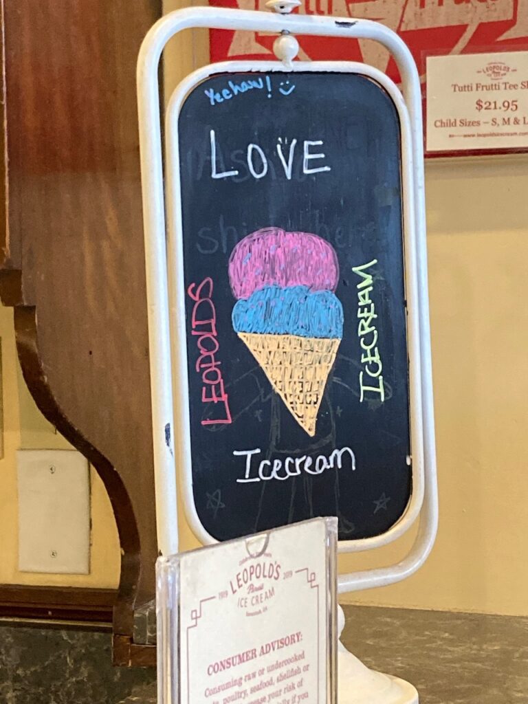
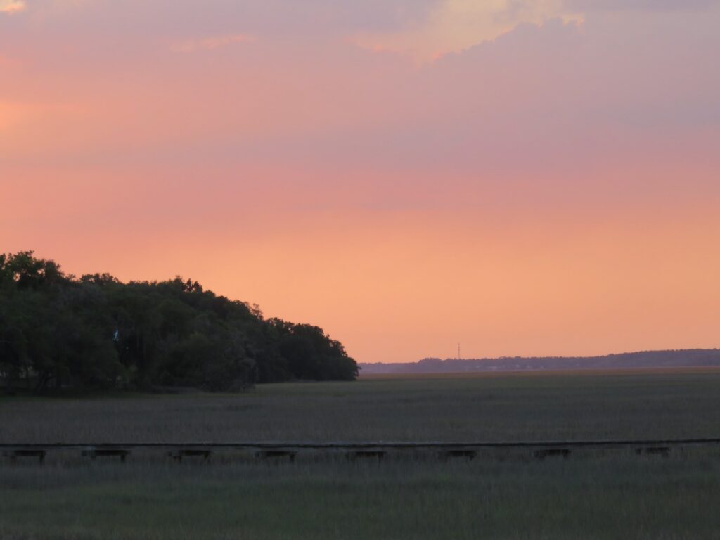
We left the ICW and traveled up the Midway River to stay the night on the Sunbury Crab Company dock. Here we learned how delicious (and large) a seafood platter can be and how to eat a steamed crab.Sunbury was once the 2nd largest port of entry of the Colony of Georgia, after Savannah, but is now only a quiet collection of residential properties.We walked through the settlement to Fort Morris, a Revolutionary era fort built to protect Sunbury. Today’s lovely views down the river illustrate how well suited the location of the fort was for protection.When we sat down so many years ago and crafted the list of where to go and what to see, Savannah was one of the top five. We were not disappointed.We stayed on the waterfront, in the historic district. In many ways, the area was reminiscent of Boston… but we decided it was softer and more generous… with space, time, color…Colonial Park CemeteryOur favorite “restaurant” in Savannah! (They ship nationwide! We highly recommend the Lemon Custard and the Savannah Socialite 😋😋😋) https://www.leopoldsicecream.comEven the sky in Georgia is peach!
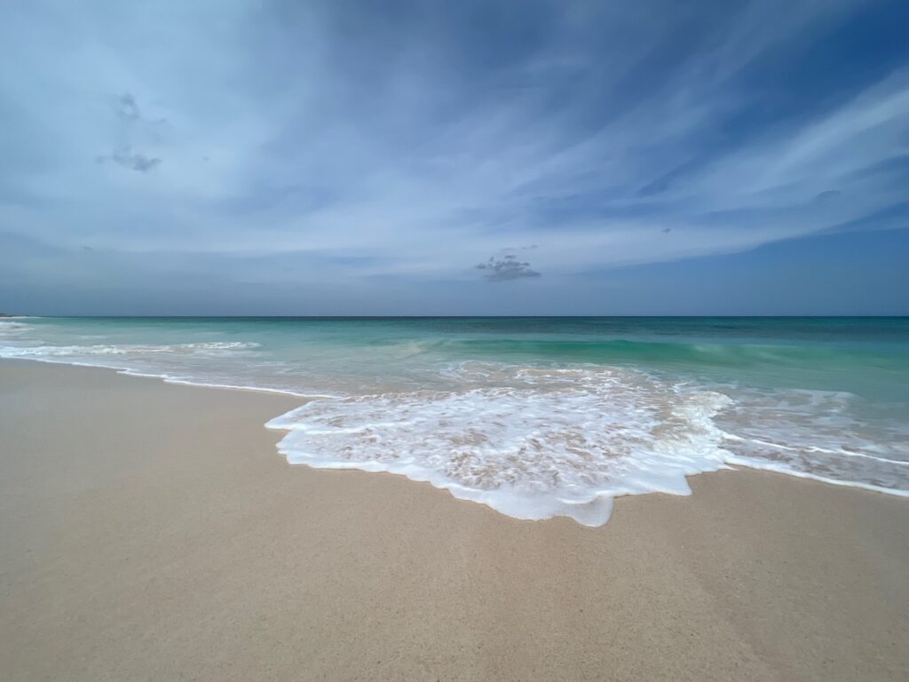
No more white sand beaches, amethyst green water and skies as high as the horizon is wide…
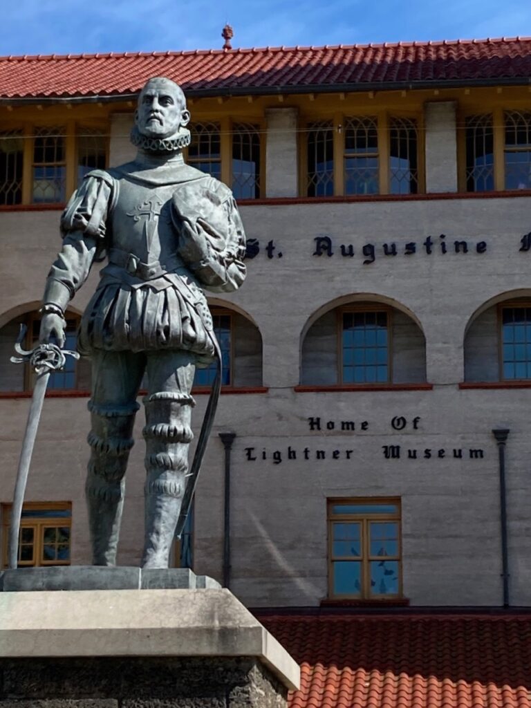
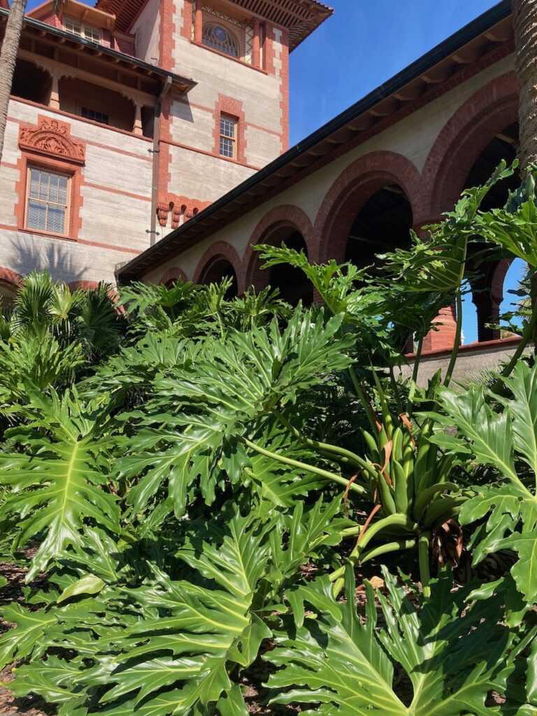
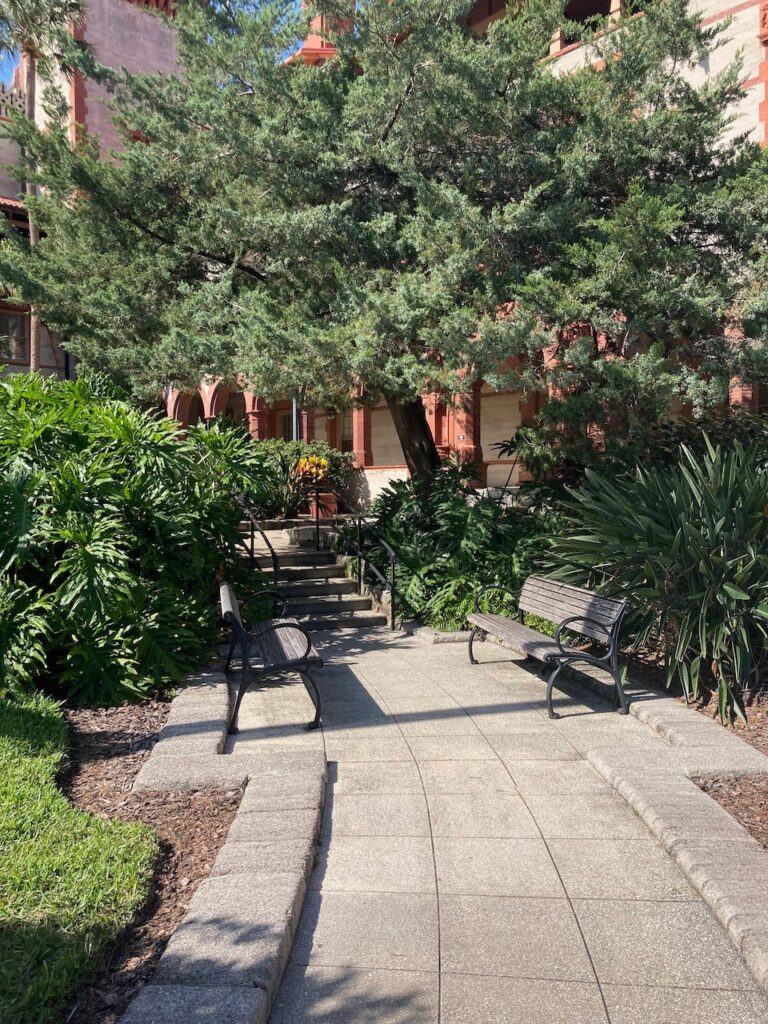
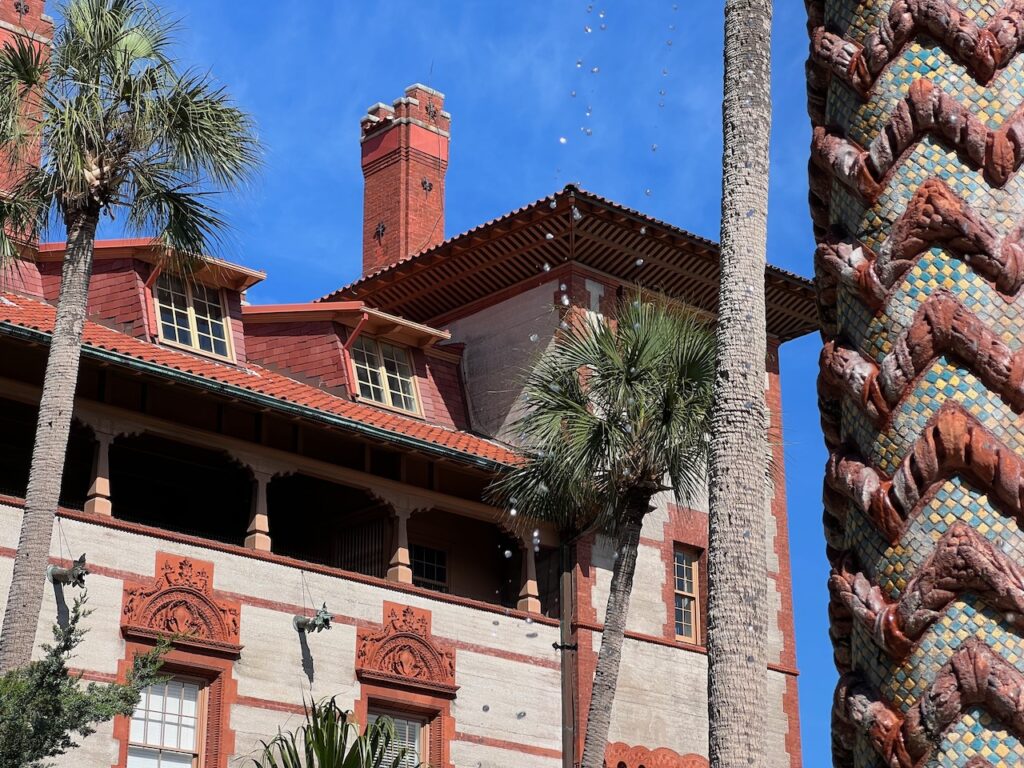
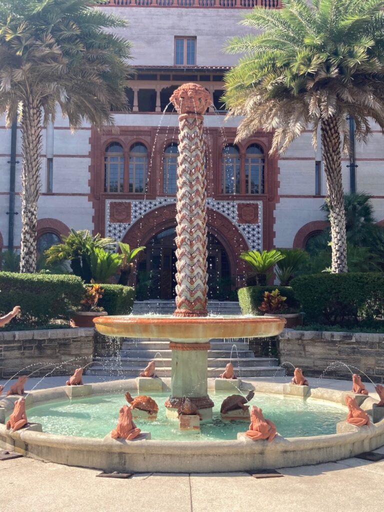
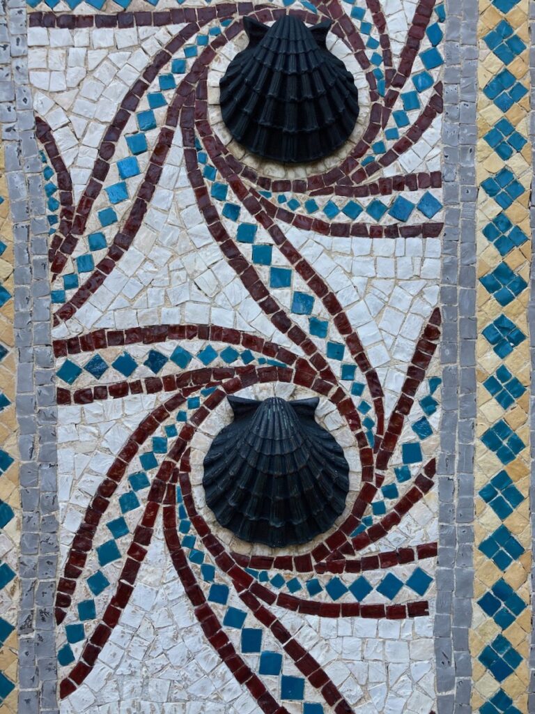
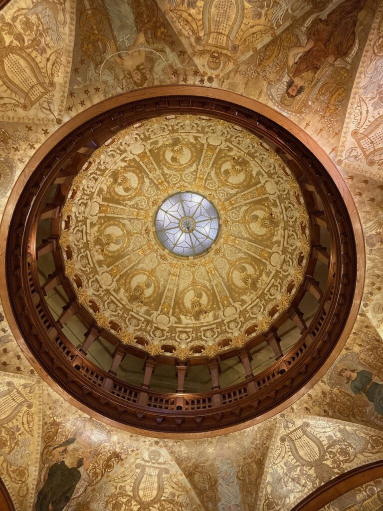
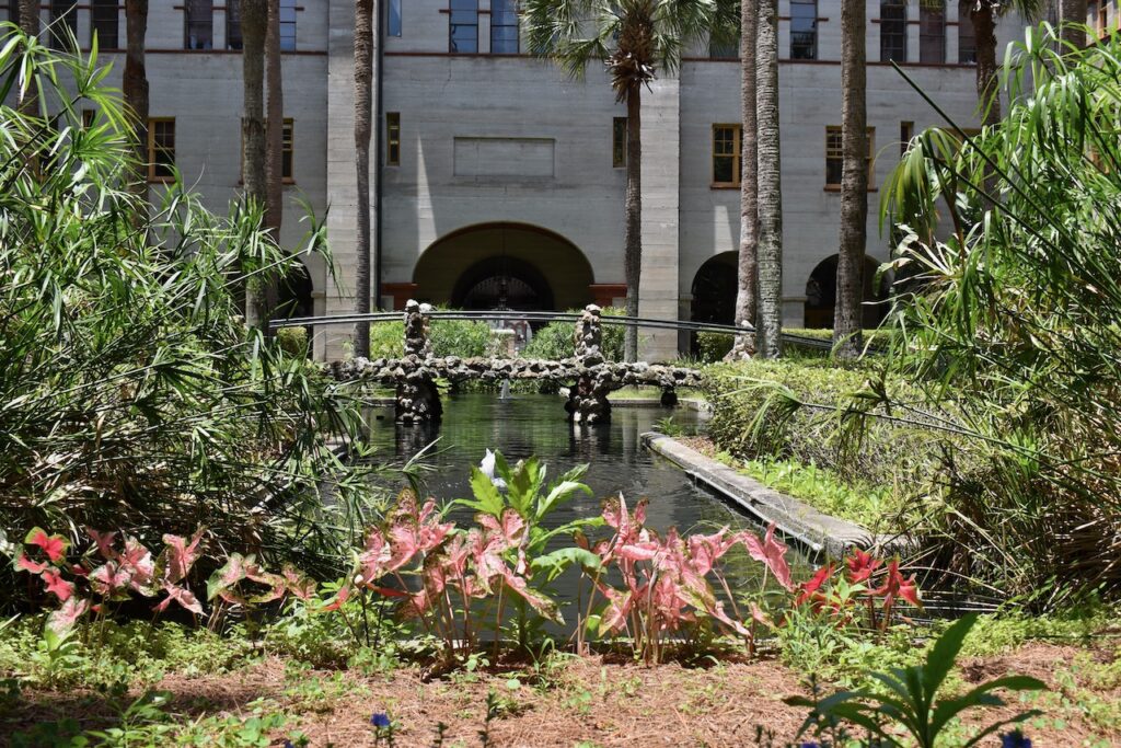
Flagler College today but built as the Hotel Ponce de León by Henry Flagler of Pigeon Key fame. Remember him?The closest we came to a hike through the underbrush…Not the famed Fountain of Youth… we didn’t need to go there … Villa Zorayda, the first building built in the Moorish/Spanish style architecture for which St Augustine is known.The Lightner Museum… sort of an Isabella Stewart Gardner Museum without the cohesiveness of a single collector’s discerning eye…… but an impressive building all the same.Off on the last leg! We have been as far North, West and South as we will be on this adventure so on to our wake!
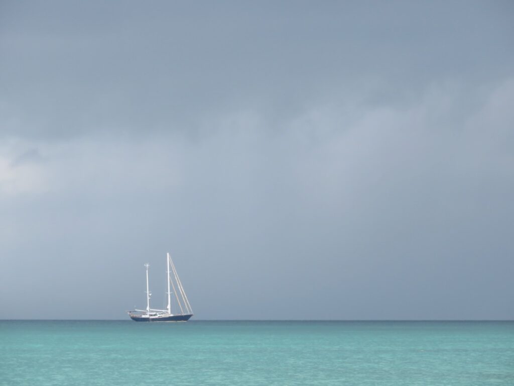
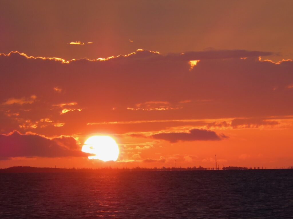
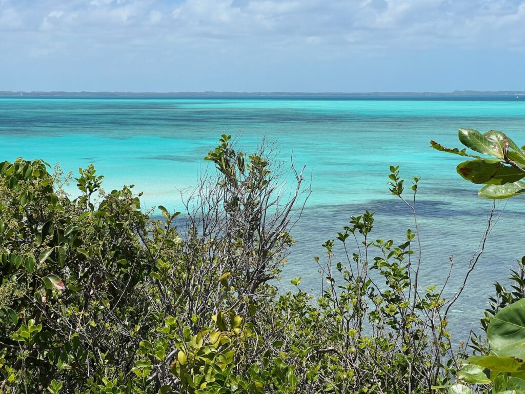
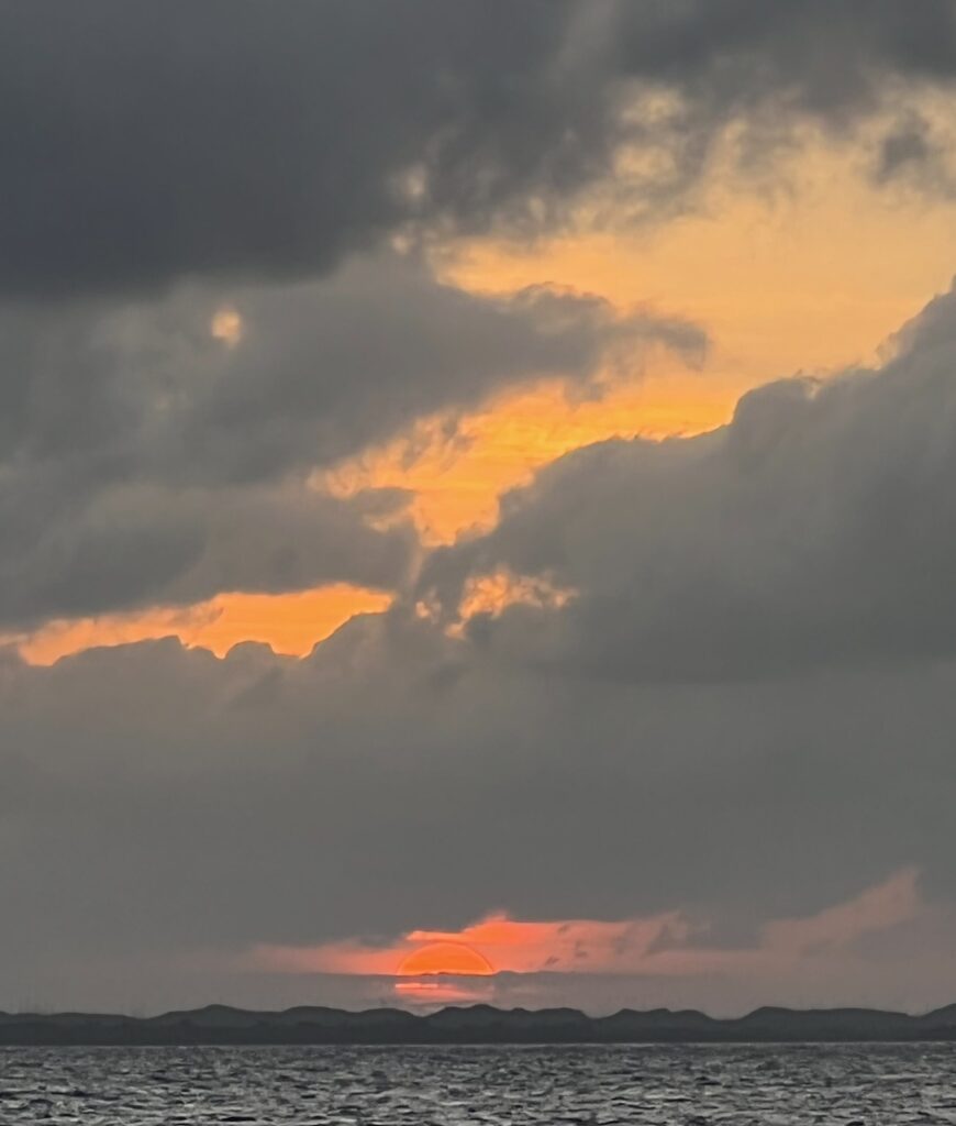
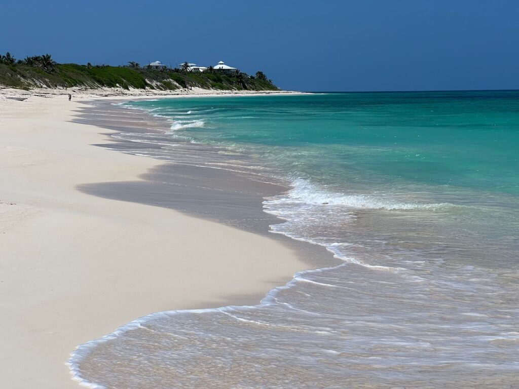
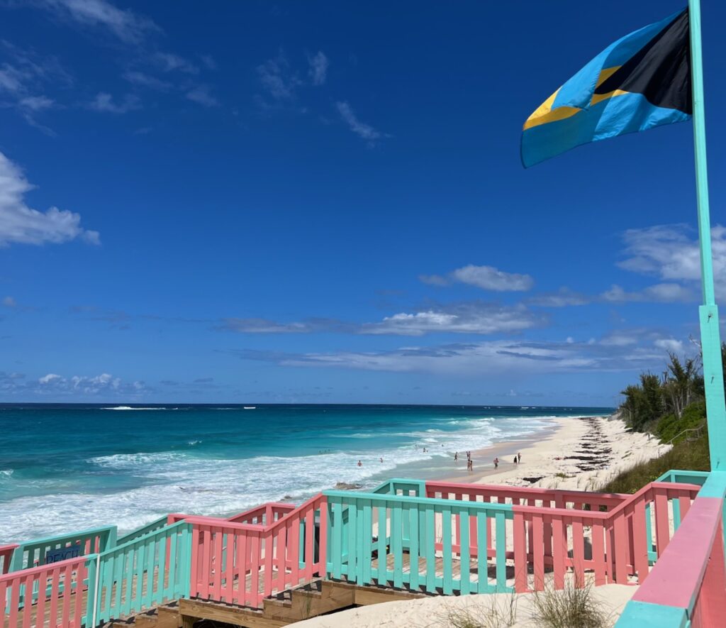
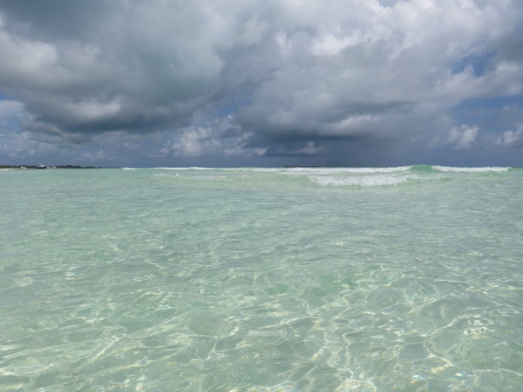
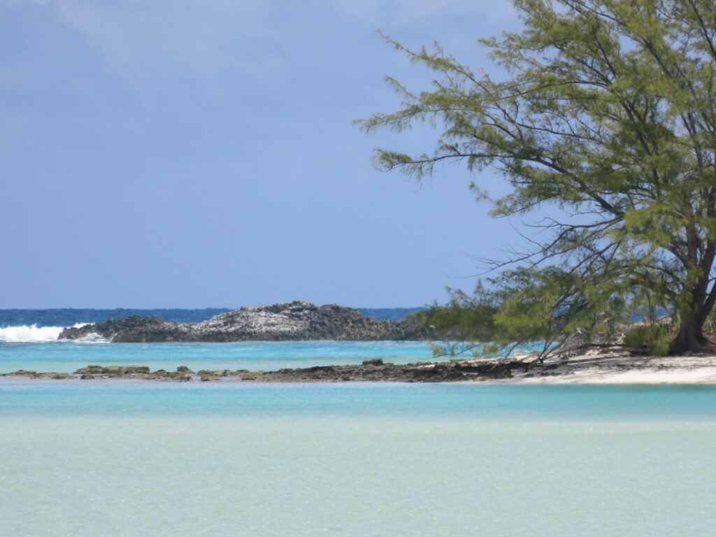
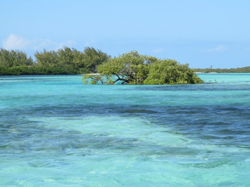
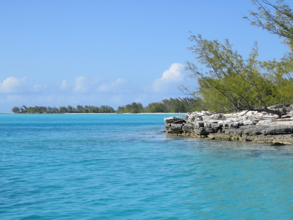
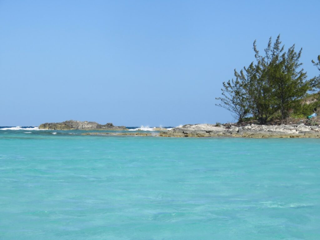
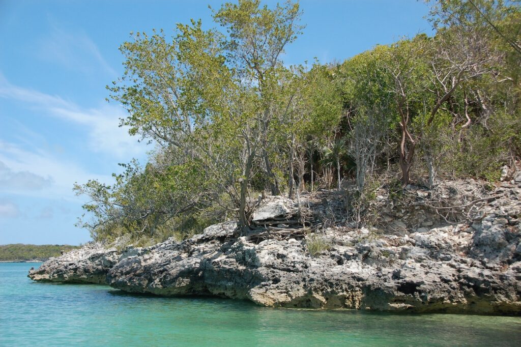
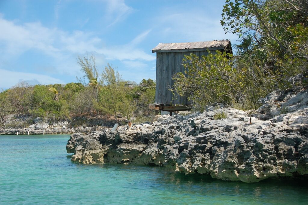
Here, finally, are the unspoiled Out Islands of my, largely inaccurately, “imagined Bahamas”. This string of cays also marks our path to West End, Grand Bahama Island, the end of our Bahamas adventure. We already miss the sunsets over the water…
Treasure Cay
Probably not accurate to call Treasure Cay an Out Island, as it is connected to Grand Abaco Island; the anchorage reminded us of Marco Island, FL. The magnificent beach was deserted though and we only saw a few others for the two days we were there.
Green Turtle Cay
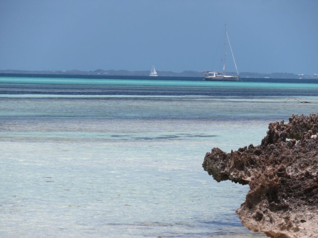
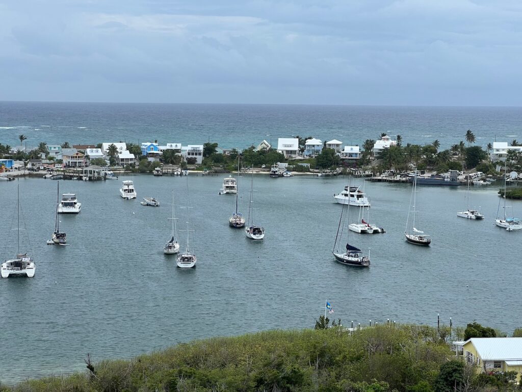
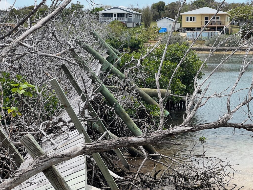
As the crow flies, the distance between Treasure Cay and Green Turtle is about 6nm. There is, however, a sand bar between the two where depths are less than 2ft. To get from one cay to the other requires a trip outside of the Bank, around Whale Cay, which adds 14nm and required us to wait for the winds from the East to calm. Damage from Hurricane Dorian was still more visible here than in Hope Town, but less than in Marsh Harbor.
Manjack Cay
We took the dinghy in search of snorkeling opportunities and wound up circumnavigating a small island called Crab Cay. We tried to watch the lunar eclipse from here but only got glimpses of it through the many clouds.
Powell Cay
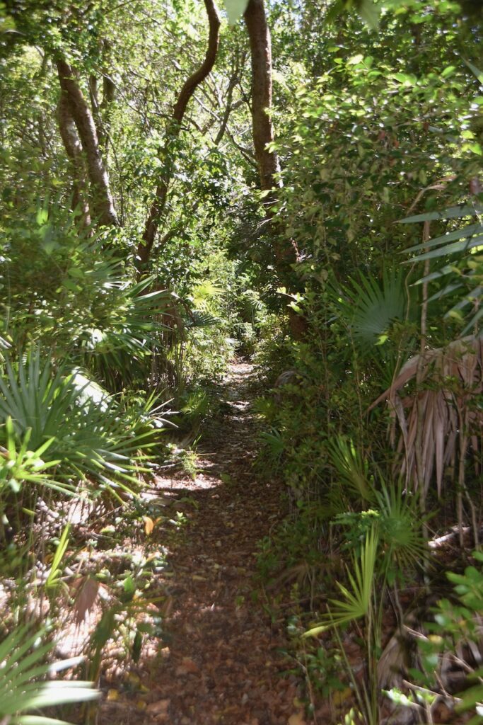
Powell Cay is our favorite of the Abacos. There are two great hikes on the cay, one to the bluff overlooking the anchorage and the other to the Atlantic side of the island. The beach here is spectacular and we spent a couple of hours enjoying it!
Allans-Pensacola Cay
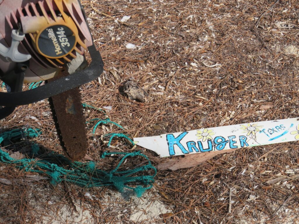
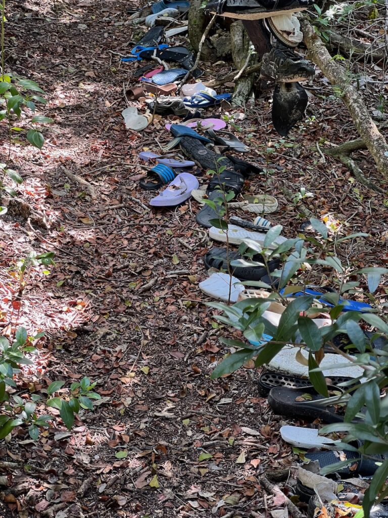
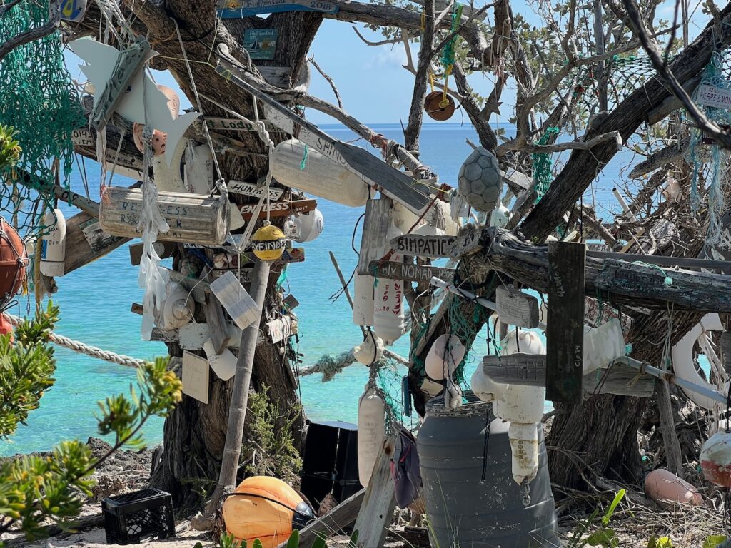
A close second as the best of the Abacos… the hike here was to what is known as the Naming Tree, where cruisers leave their mark with all sorts of flotsam and driftwood. I was sort of dismayed at the intrusion of civilization, thinking that visitors were supplying the medium, until I learned that this is beach trash, much of it floating from Haiti after storms.
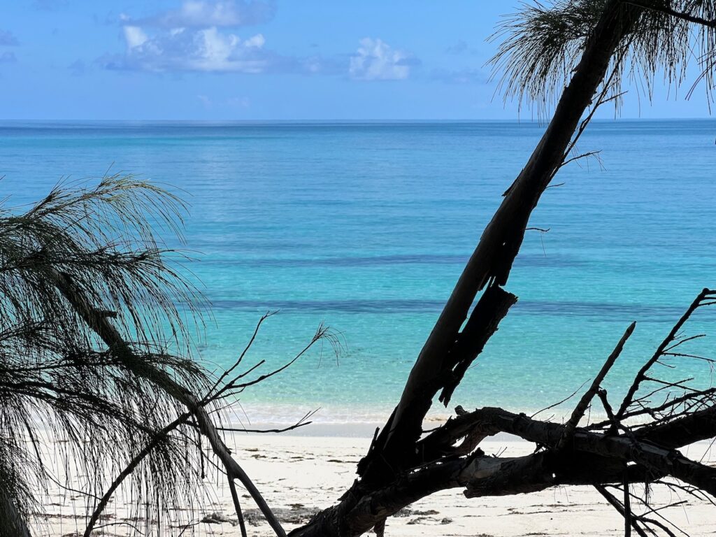
The path to the Naming Tree is well marked…So… this probably did NOT float over from Haiti. The Naming Tree also guards another beautiful beach.
Double-Breasted Cay
This cay turned out to be much more exposed to the prevailing wind so we were not able to go ashore. After carrying the drone through the Bahamas, it earned its keep this day.
West End, Grand Bahama Island
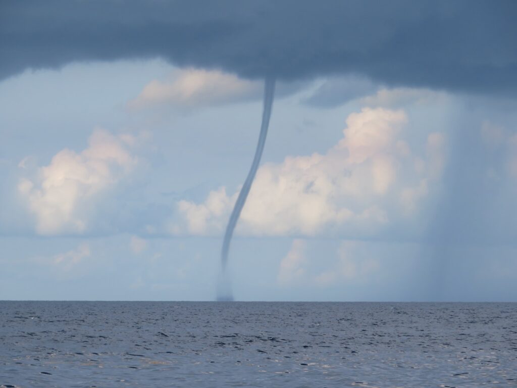
Remember this picture… Our trip to West End was the longest sailing day since the end of April; it felt like it, too. There was NO wind for most of the journey…
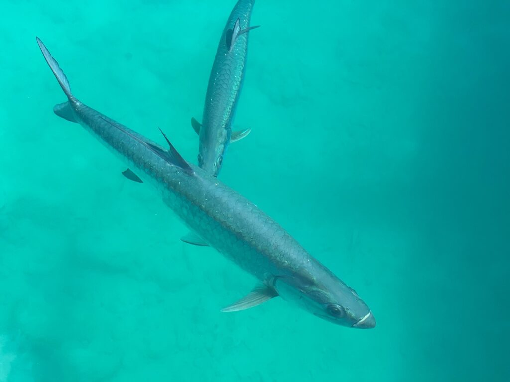
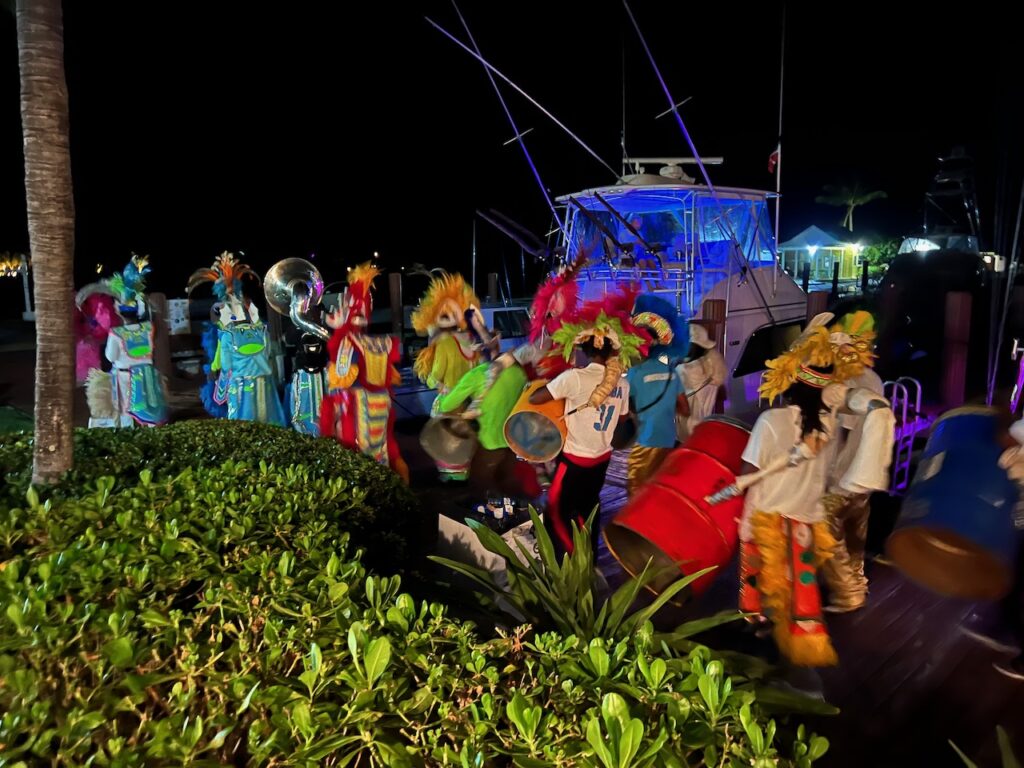
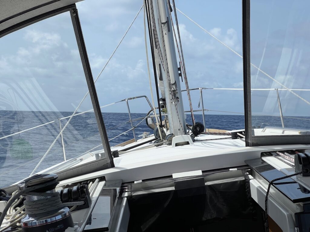
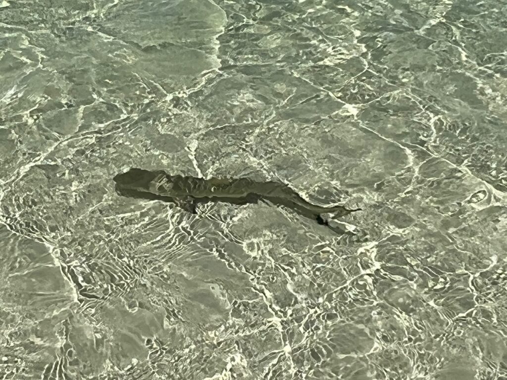
… until this waterspout chased us off the Bahama Bank.West End TarponsA Junkanoo parade to celebrate a wedding at West End.It is impossible to accurately capture rough water when underway so you will need to surmise from the angle of the bow to the horizon that it was rough, indeed. And, unfortunately, this picture was taken during our 242nm journey from West End to St Augustine, Florida… we were wishing we were back on the well protected Abaco Bank for much of this trip.😵💫
If you look at a map of the Abacos you will see why this archipelago is my idea of the Bahamas… Two large islands protected by a string of barrier cays, all of which are less than a half a day’s sail from one another. And we have been sailing, too, with nice winds and generally calm seas. We ping-ponged northward between Great Abaco Island & the barrier cays and are now waiting for our chance to get through the Whale Cut to the northern Abacos.
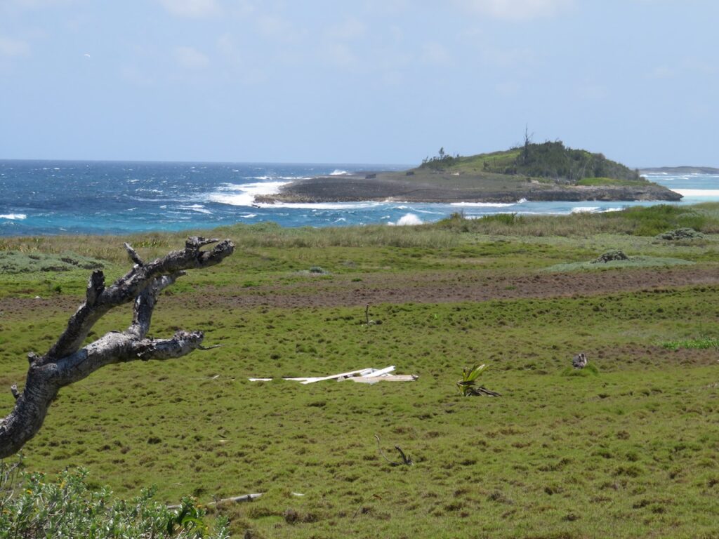
Tilloo Bank and Cay
Our first anchorage after leaving Little Harbour… Tilloo Bank is a large, shallow bank where the locals come and beach their boats to “tailgate”. There is a single habitable house on the cay, all the rest still badly damaged from the hurricane. Tilloo Bank sits on the edge of the Pelican Cays Land and Sea Park so we returned here after visiting Sandy Cay. Sandy Cay may have the famous “coral garden” and may be one of the best spots for snorkeling but it is not a comfortable anchorage…
The locals’ beach camp.Tilloo Bank is the turquoise stripe next to Aurora. Notice how calm the water is?
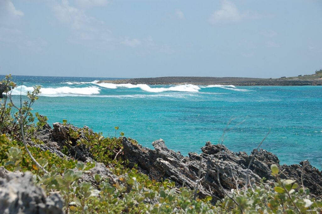
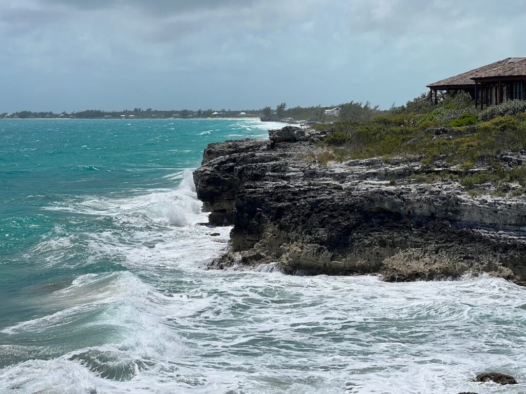
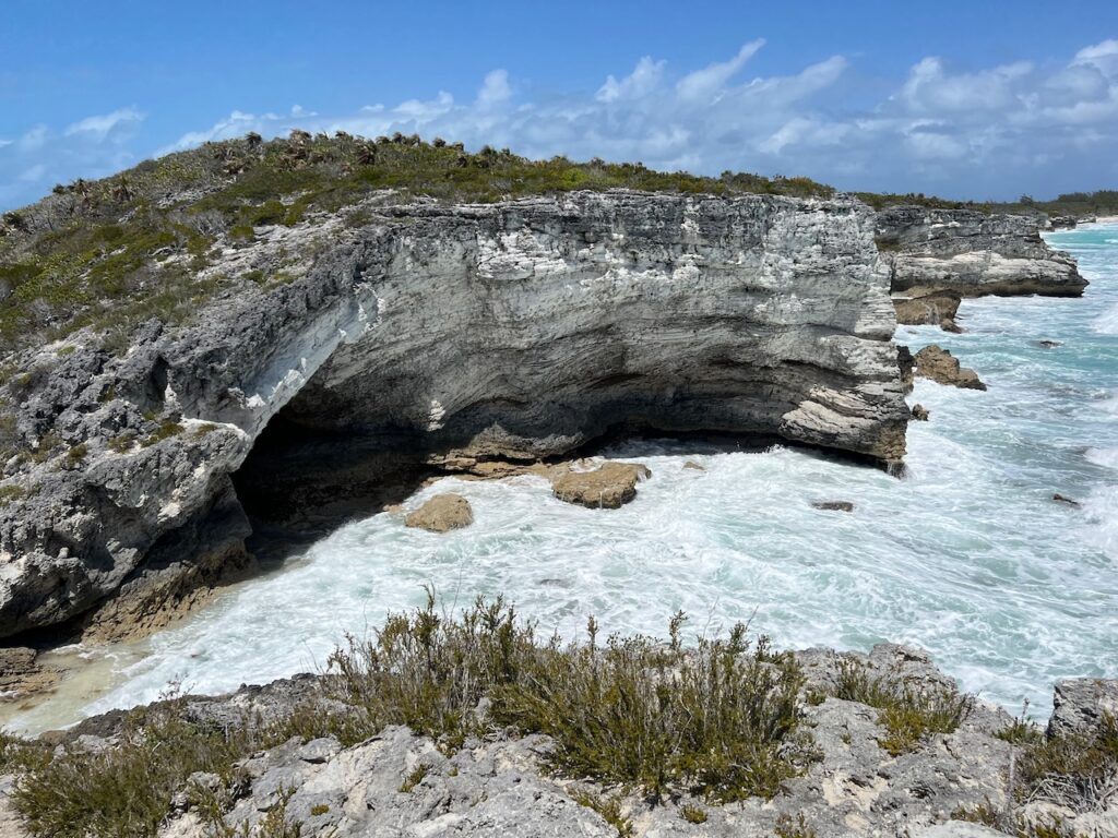
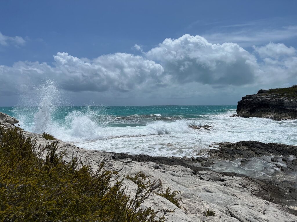
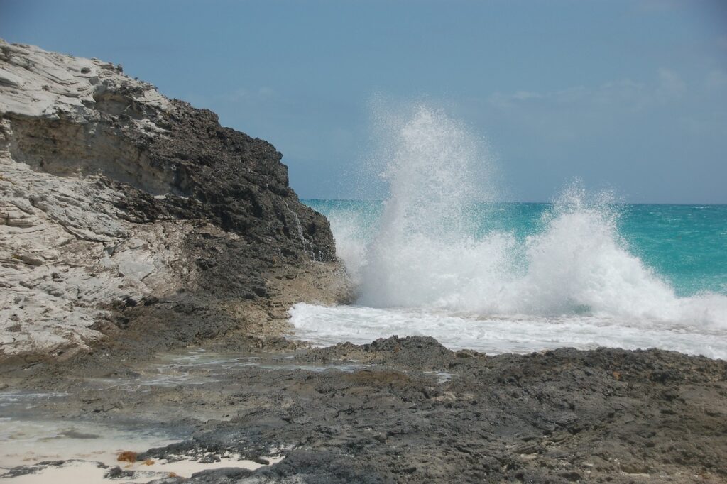
This is the other side of Tilloo Cay! You will see this theme with all the barrier cays; the Sea of Abaco side has had almost no swell while the Atlantic side has been roiling.
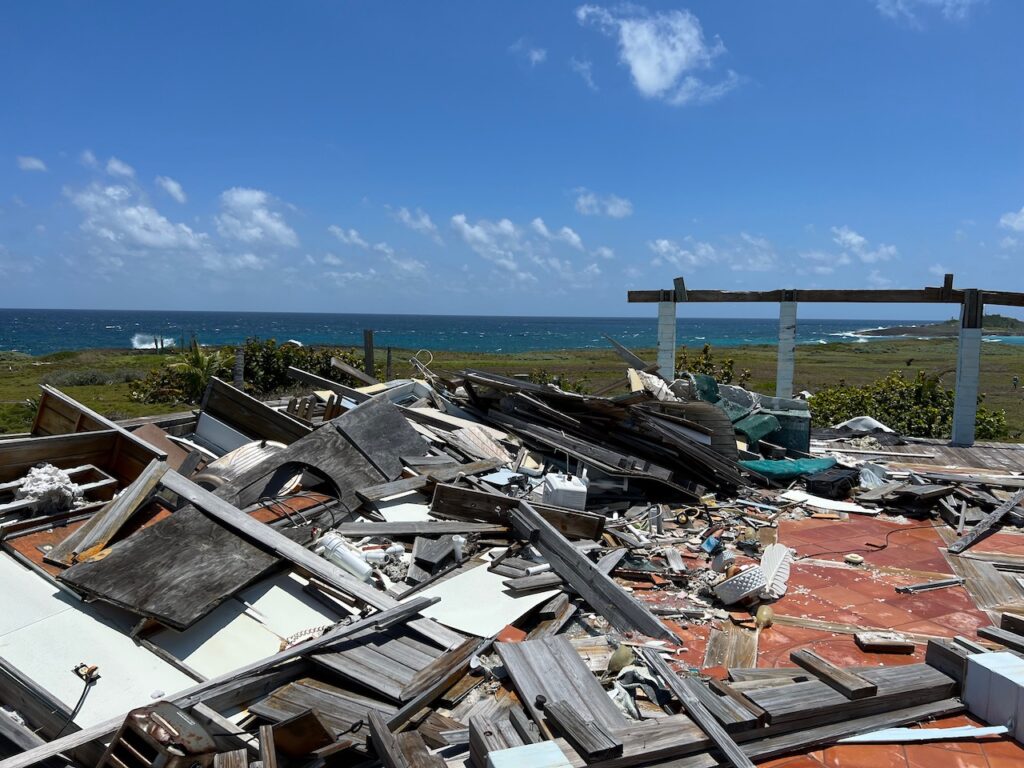
Scars from Dorian are everywhere… this would have been the view from the house in which we stood to take this photo.
Residents of Tilloo Cay and Tilloo Bank
Doing our part to clean the beach, we decided to add it to the locals’ camp.
Elbow Cay and Hope Town
Did someone move Oaks Bluff or Edgartown to the Bahamas while we have been gone??? Aside from the hurricane damage, you could be confused about where you are…
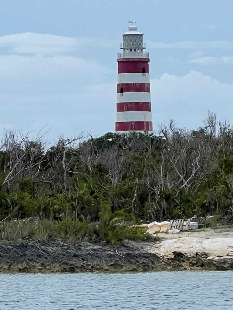
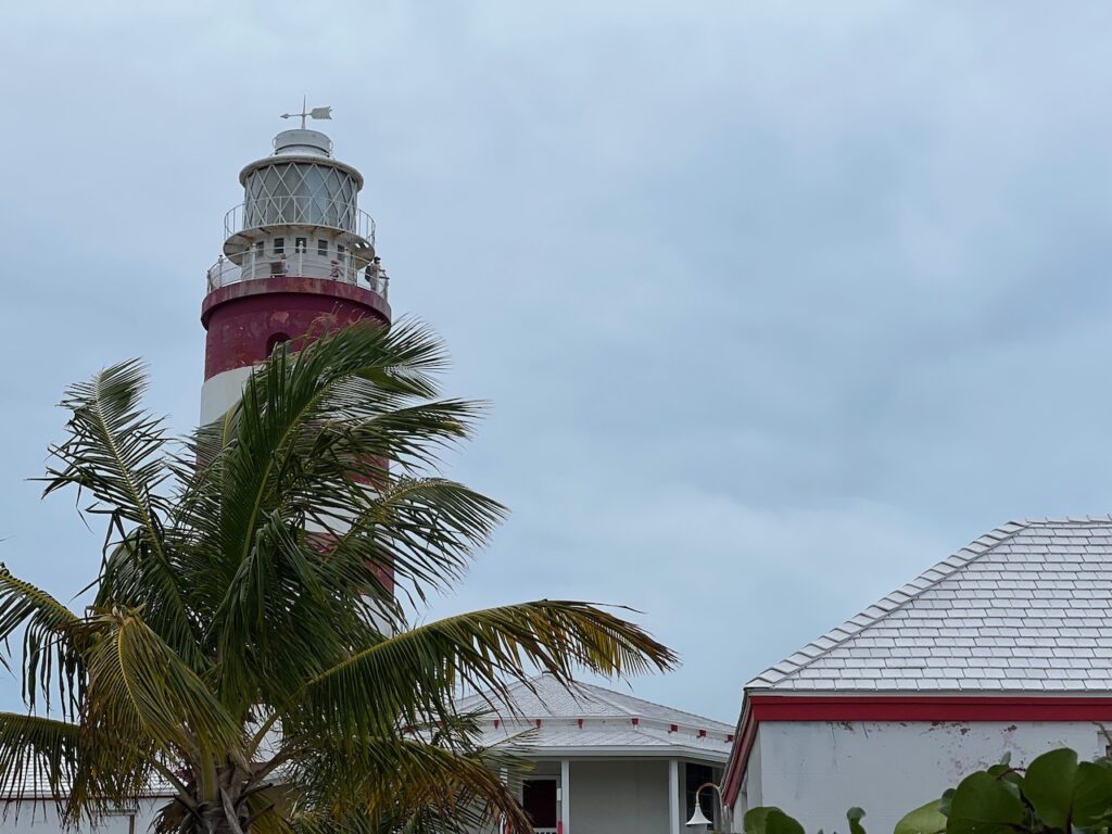
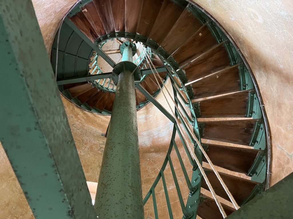
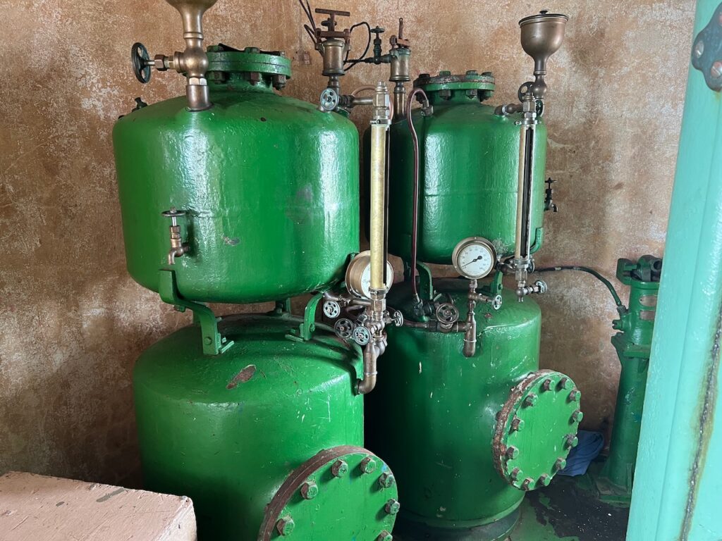
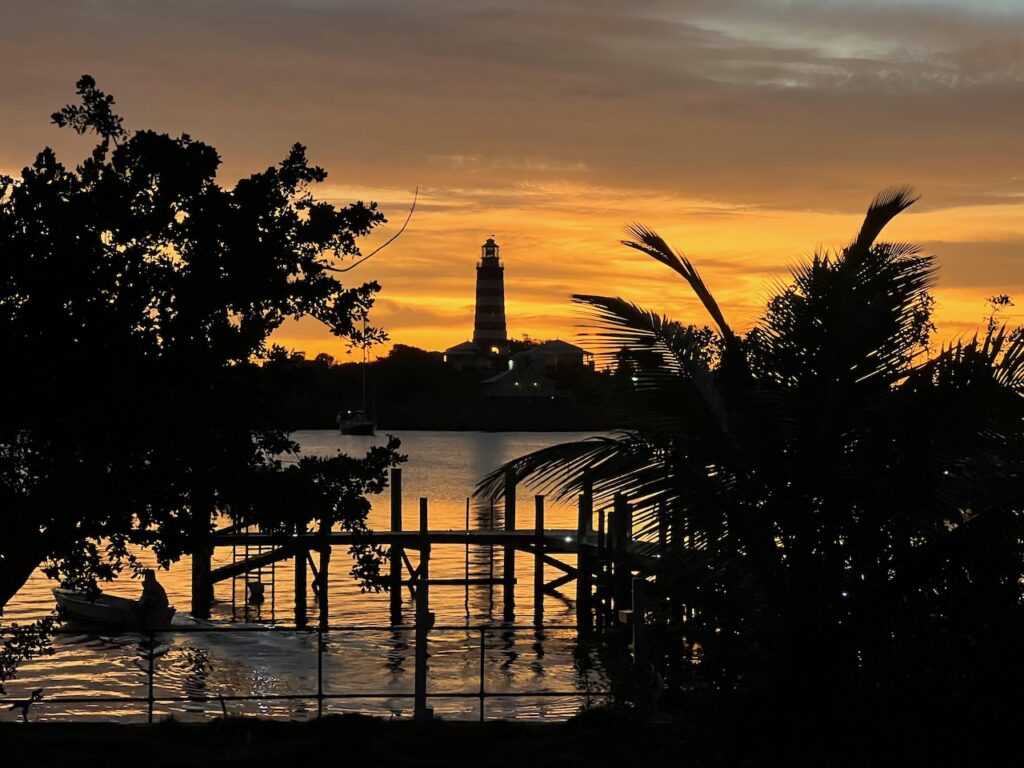
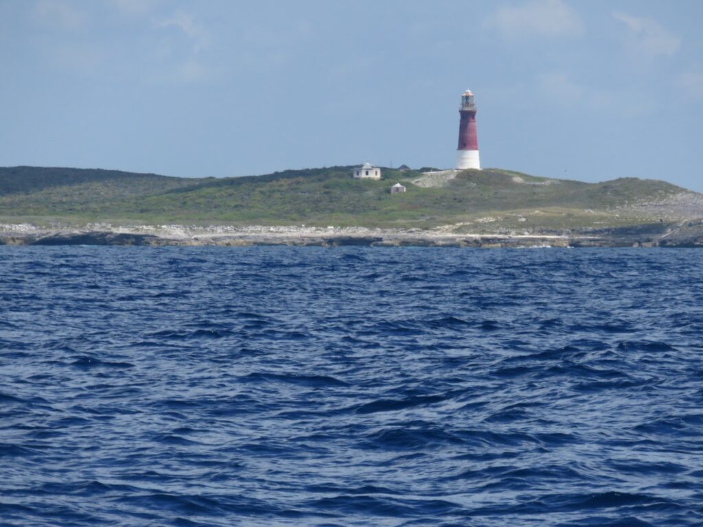
Hope Town is home of the Elbow Reef Lighthouse – the only kerosene lighthouse still operational and not electrified. The lighthouse was badly damaged in the hurricane but is being restored with support from the Elbow Reef Lighthouse Society. https://www.elbowreeflighthousesociety.com
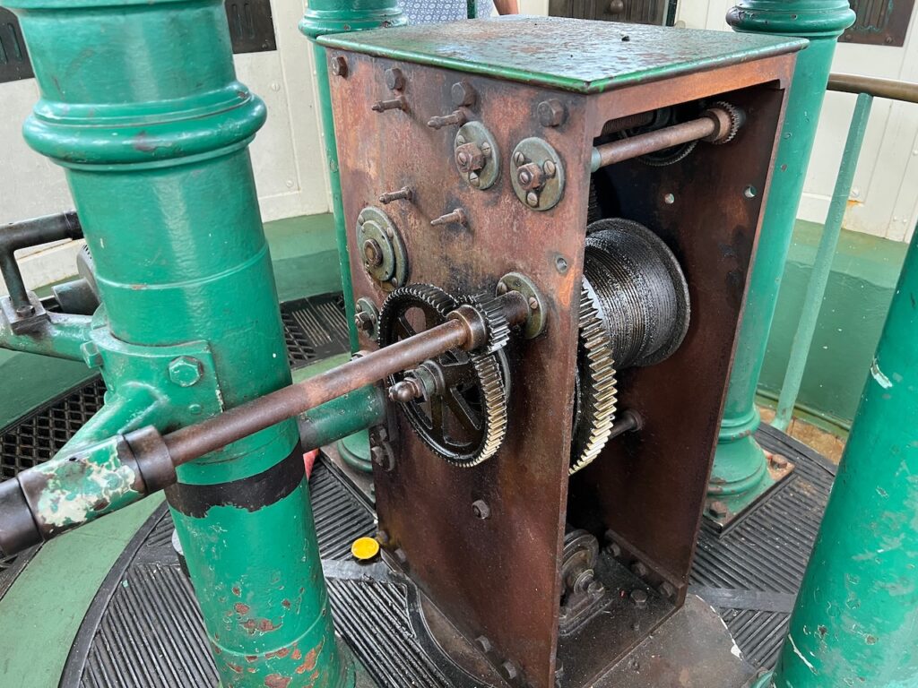
Kerosene is burned to create the light and the lens rotation is achieved by hand-cranking a weight up the tower, every evening. The actual lens of the lighthouse floats in a bed of mercury!
Hope Town Harbour and the Atlantic from the lighthouse
Hope Town is much further along than Marsh Harbour in erasing the traces of Dorian but not quite finished… Most of the rental properties seem to have been full, both restaurants were open and the grocery store had full shelves and fresh baked goods every day.
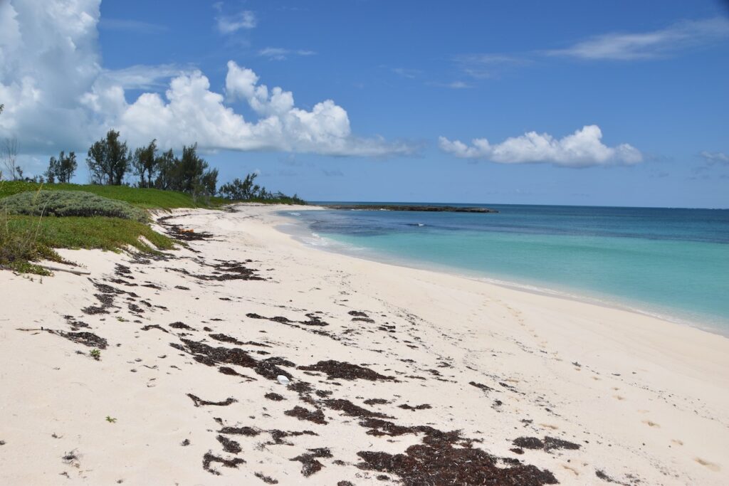
Spectacular White Sound Beach on the Atlantic side of Elbow Cay; the ocean laid down for Mother’s Day and we finally got to swim in the Atlantic.
Black Point Cay
We anchored at Black Point Cay after another visit to Sandy Cay. Black Point is on the Great Abaco Island side of the bight. No signs of habitation here yet but still crystal waters and interesting coral formations in the little bay.
Man O’War Cay
Man O’ War (MOW to the locals) was once the boat building heart of the Bahamas and it is still home to Albury Brothers, a boat building dynasty. We were fortunate to have spent an hour or so with the proprietess of the local cafe who manages the little MOW museum and serves delectable mulberry turnovers. She confirmed our perceptions of MOW; it is a tight, residential community, insulated from the tourism upon which the other cays rely.
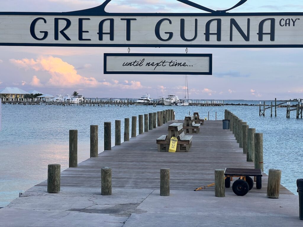
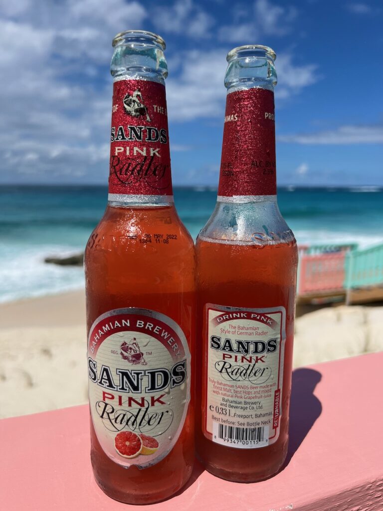
Great Guana Cay
Great Guana’s claim to fame are the beach bars – Grabber’s and Nipper’s, both of which we visited. Of the two, Nipper’s had the better location with the Atlantic beach… and the radler.
Grabber’s on the harbor side…Nipper’s on the Altantic.Our Bahamas …
A real, live rainy day to catch up on where we are… or, actually, where we were. Lynyard Cay and Little Harbour were our rewards for the long wait and the long passage across the Northwest Providence Channel to the Abacos.
To access the Abacos from the Berries, you round the southern most tip of Great Abaco Island and enter the Atlantic. We jokingly wondered if we had gone too far and wound up on the coast of Scotland…Lynyard Cay is the southern most island between the Sea of Abaco and the Atlantic. It was good to be on anchor again after the long stint in the marina.
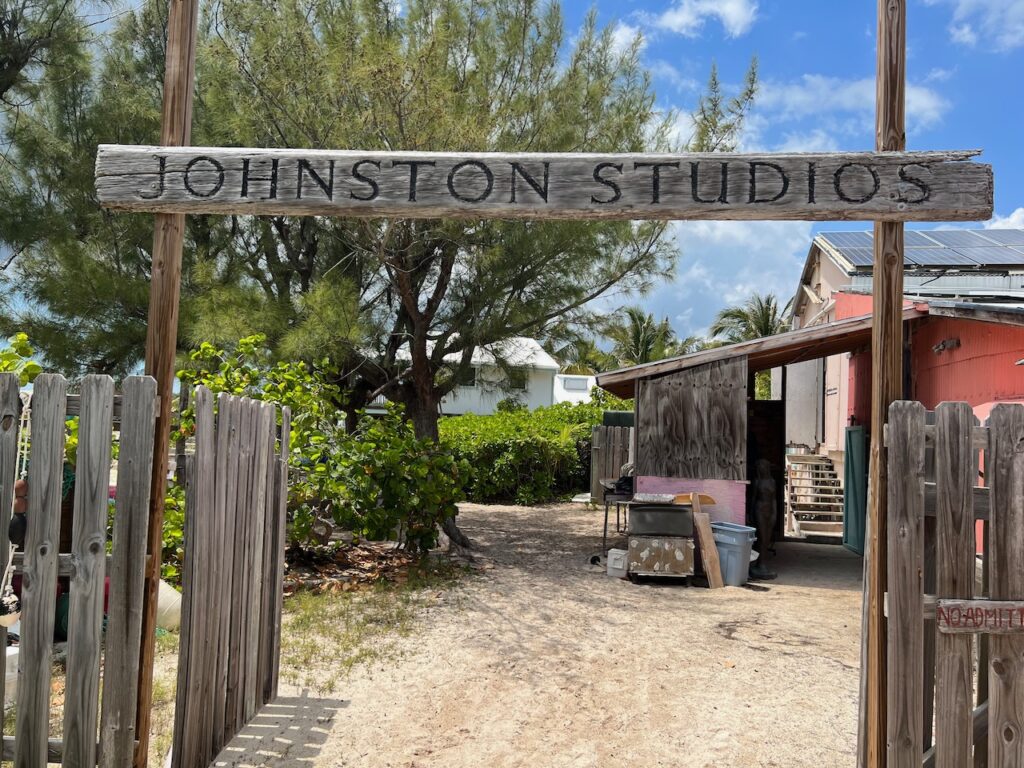
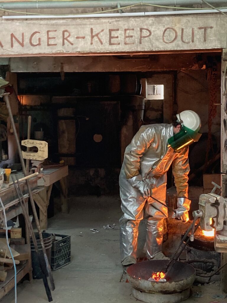
Little Harbour is the southern most harbor on Great Abaco Island. It is a small, well-protected harbor with an internationally renowned foundry and one of the best beach bars around.
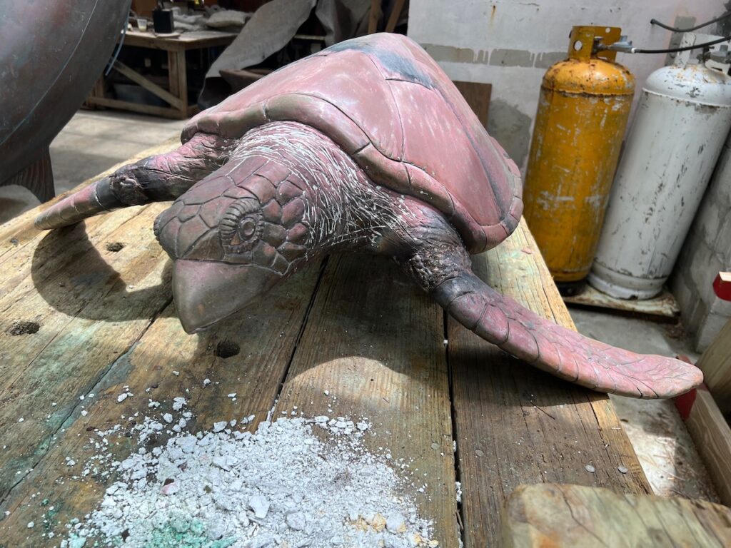
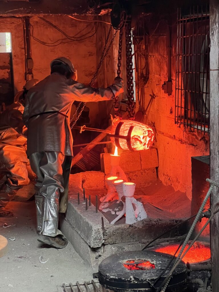
The Atlantic shoals on the backside of Little Harbour.The foundry which Randolph Johnston started, now run by his son Pete. The foundry uses the lost wax process to cast, primarily, bronze. We were fortunate enough to tour the foundry on a day that they were casting.The process starts with an artist making a detailed clay model…A ceramic mold is cast around a wax model which was made from the clay artwork.
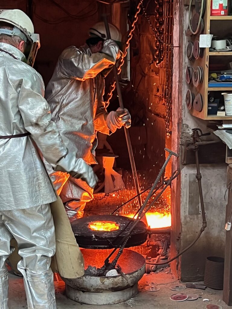
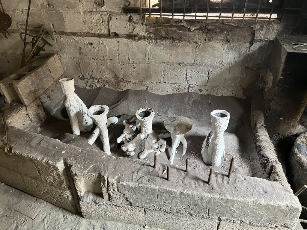
The molds are attached to “trees”, or venting structures, for the spruing, slurry and burnout processes – these are the processes which create the hollow mold of the original artwork.
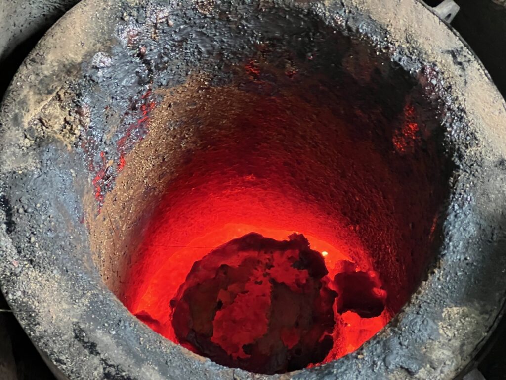
The finished molds are brought up to temp while the casting material is prepared.
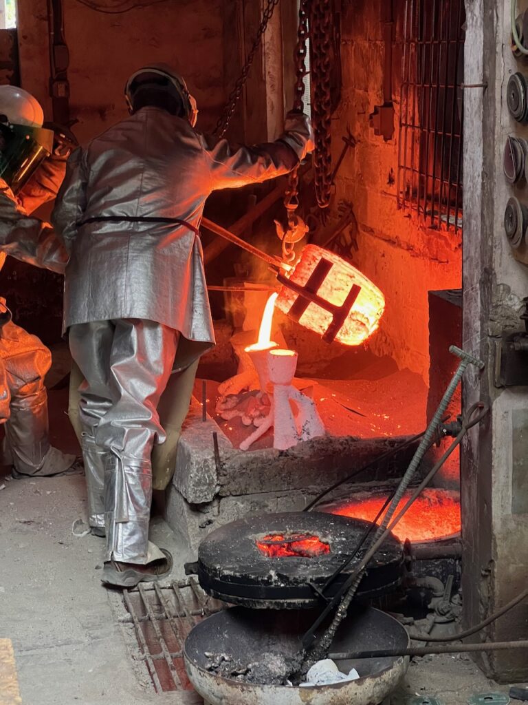
Molten bronze is poured into the molds.
Once cool, the molds will be broken away and the cast pieces will be finished. For example, these are multiple pieces of a tree which will be welded together. Other pieces may require only flashing removal or have a patina applied.
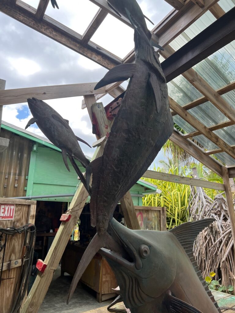
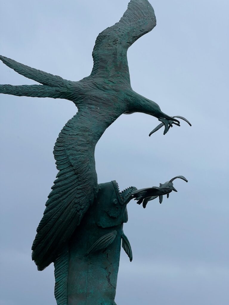
The scale of some of the art produced here…
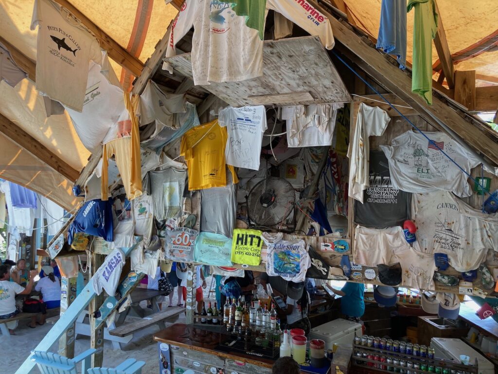
Pete of the foundry fame also lends his name to the beach bar – Pete’s Pub.
The Little Harbour lighthouse once stood sentinal to guide mariners through the rocky shoals which form the harbor entrance. Today it is an easy hike to a sweeping view of both the Sea of Abaco and the Atlantic.
Waiting for weather (again 🙄) kept us in the Berry Islands for another 10 days. We moved from the anchorage to the marina so we could break out our bikes and explore… and, actually, happily, we came to really like Great Harbour Cay and our time spent there. The island’s history is fascinating, we met, and traded stories with, fellow travelers and discovered Great Harbour Cay’s stunning beaches.
Great Harbour Cay Marina is a hurricane hole for the Berry Islands; it is accessed through this slim, man-made cut from the Great Bahama Bank to the inside of the island – Great Harbour Cay. Great Harbour is the largest of the Berry Islands and home to Bullock’s Harbour, the seat of the government in the Berry’s and the largest settlement with a population of 350 people.
The island is only 7 miles in length and 2.5 miles wide. It runs approximately north-south between the Great Bahama Bank and the Northwest Providence Channel (open to the North Atlantic Ocean which is why we were waiting…) It is considered one of the “out islands” as commercial development is minimal and it is not easy to access except by small plane, or, of course, by boat.
Shelling Beach
We rented a noisy, finicky golf cart to find Shelling Beach on the east side of the island. At the end of a bumpy road, through everything but beach vegetation, we ended at the peninsula with Shelling Beach on one edge and the exit from Little Shark River on the other.
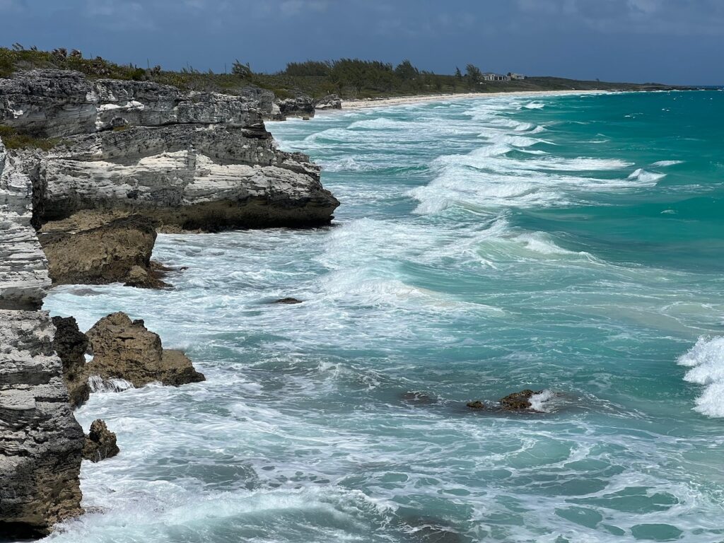
The mouth of Little Shark RiverAround the corner…… to Shelling Beach.The blue water in the background is the Northwest Providence Channel; only this small shelf protects the bay on this side.
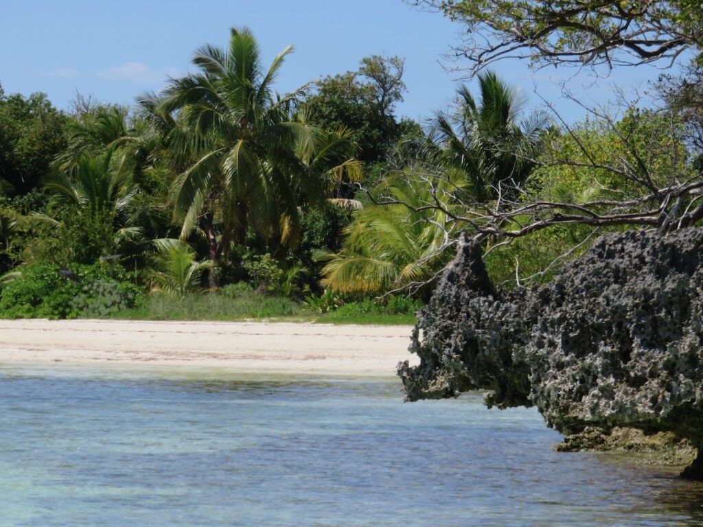
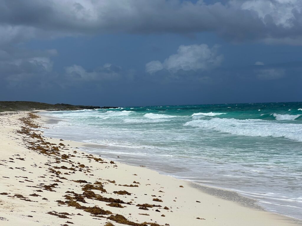
The clearest water and the whitest sand since Santa Rosa Island
Anderson Cay Beach
You can cut through the cays from the Great Bahama Bank to the Atlantic by traveling the Little Shark River. By dinghy. Only at high tide. We were up for the challenge and headed out the day when the east winds were too strong to do much else on that side of the island. Unfortunately, even the high tide was too low so we visited a beach on the Great Bahama Bank side of the cay.
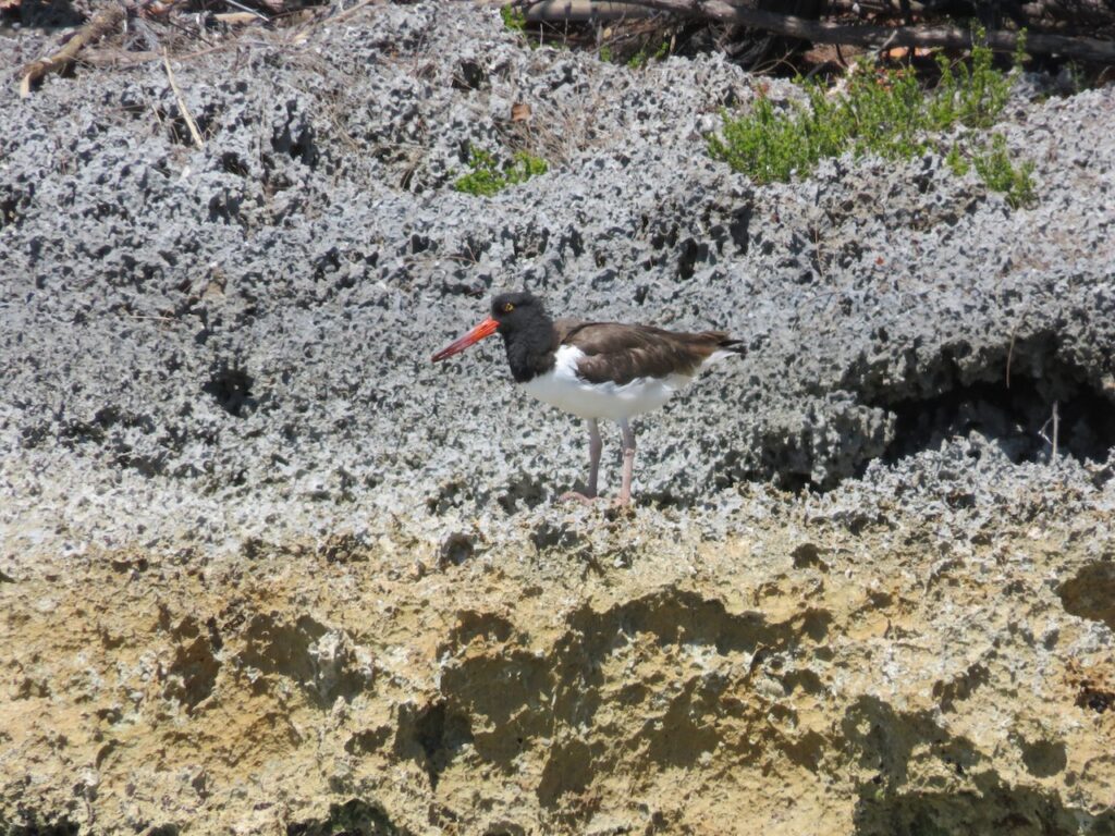
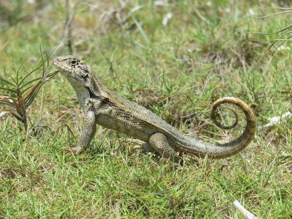
The Mushroom. This is at about 1 hour before high tide… a perfect illustration of how low it was that day…The beach was deserted except for the natives…
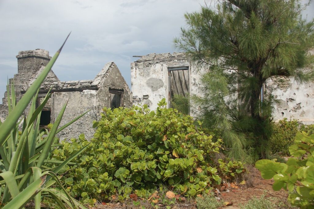
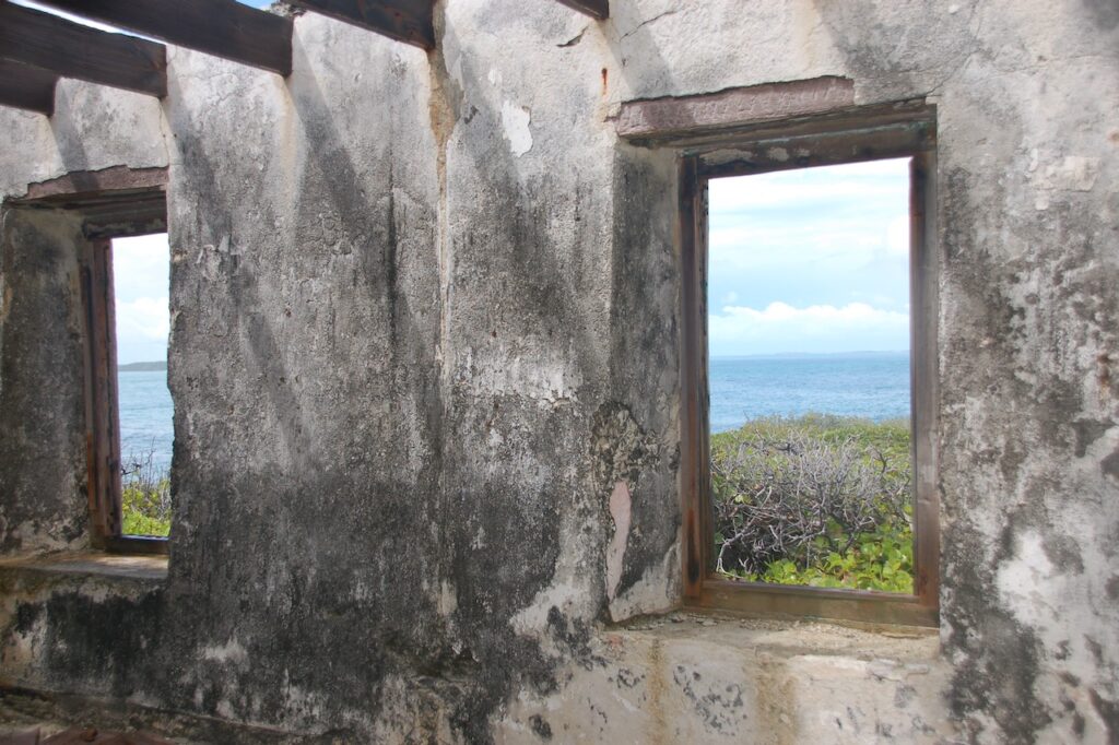
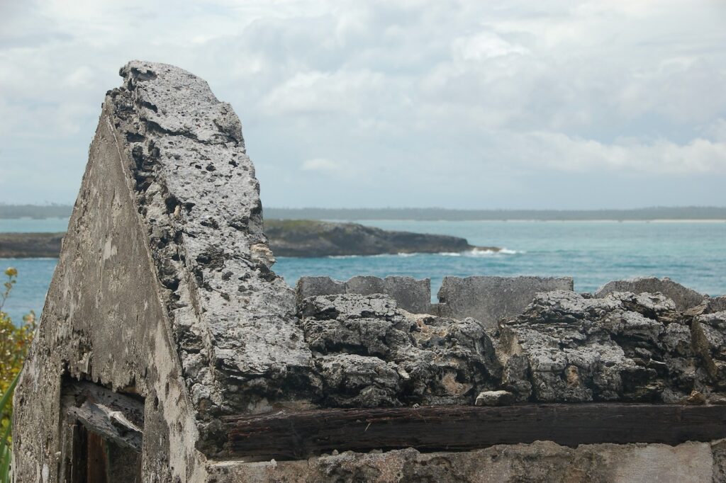
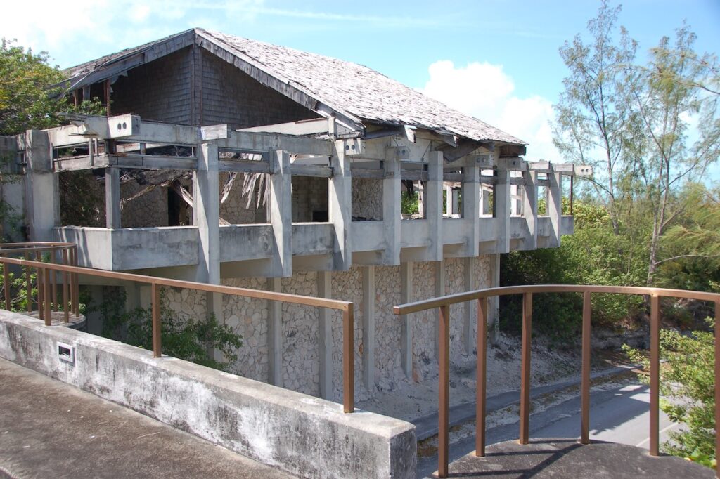
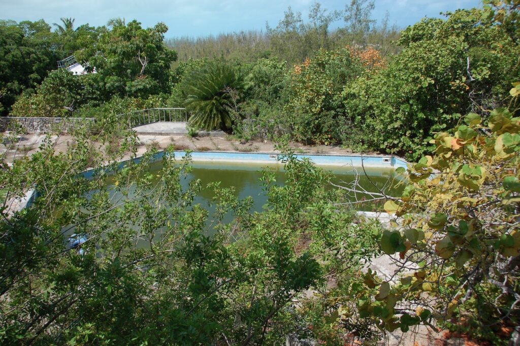
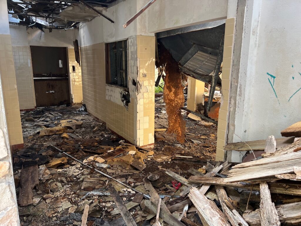
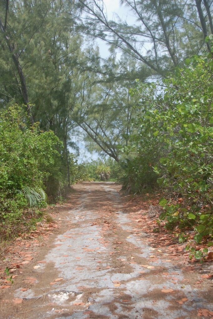
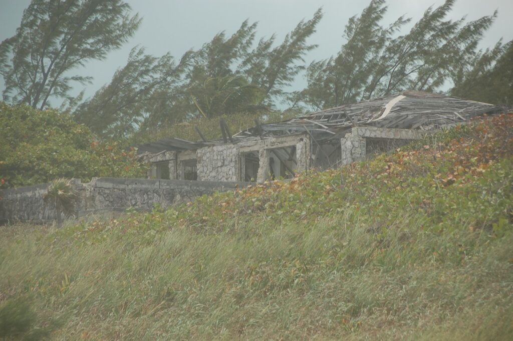
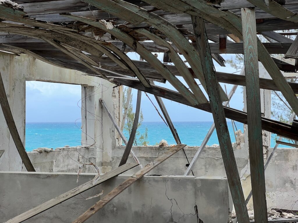
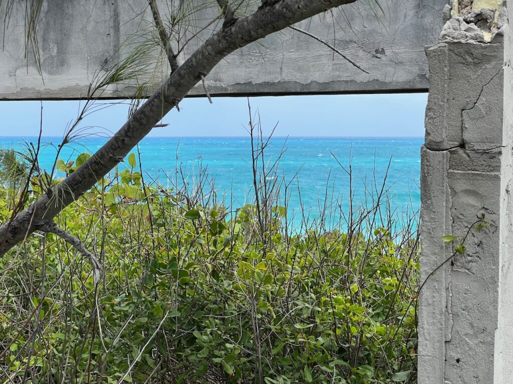
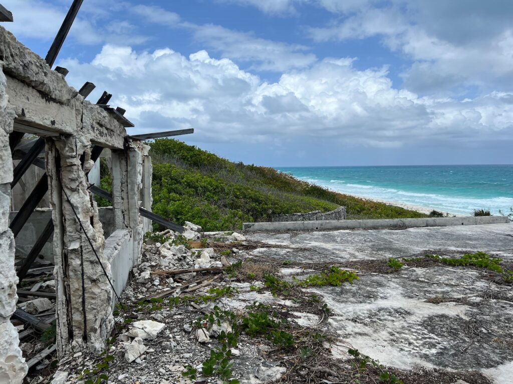
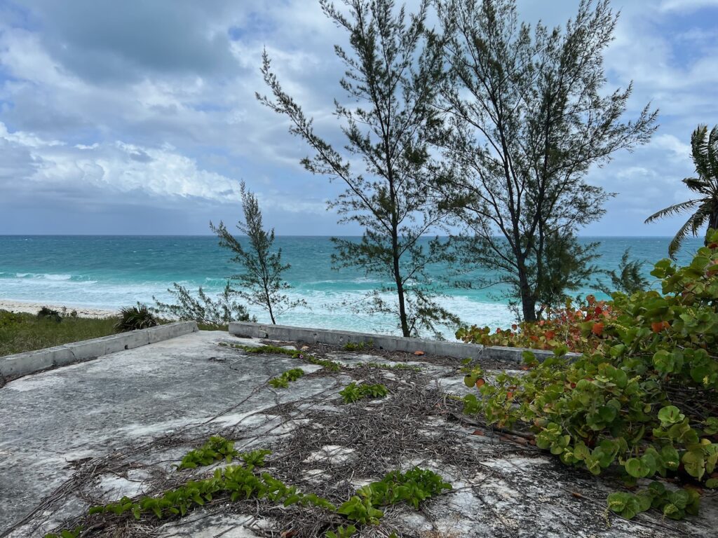
The Ruins
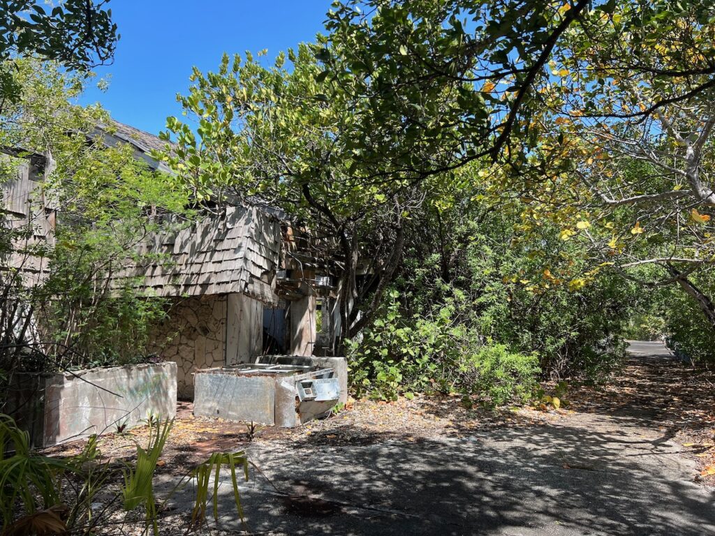
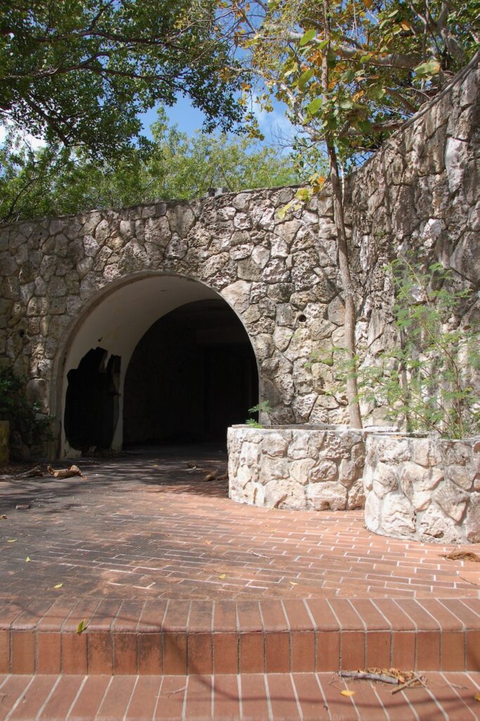
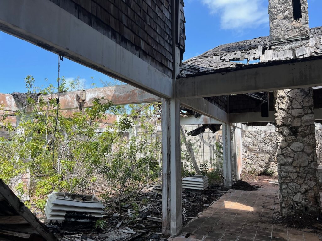
There is a wonderful history of Great Harbour Cay at https://www.greatharbourcaymarina.com/history which details the rise and fall of the island’s development by outsiders. What is left today are the physical ruins of The Clubhouse & The Sugar Beach Lodge and the stories of famous people who sunbathed here…
This is the Old Clubhouse, the original Rat Pack were rumored to be guests back in the ’60’s. Our marina was part of this development effort, as were the airstrip and a golf course. The “airport” is still operational and 9 of the 18 holes on the golf course are still maintained by the island’s residents.These are the Sugar Beach Lodge ruins. Hidden down a driveway from the main road and almost at the northern tip of the island, the lodge was secluded and private. Brigitte Bardot was said to have enjoyed the Lodge’s hospitality.
The Caves
The spectacular Sugar Beach Caves are a mini version of the northern California coastline!
Sugar Beach, from the Caves, looking north to the Lodge.
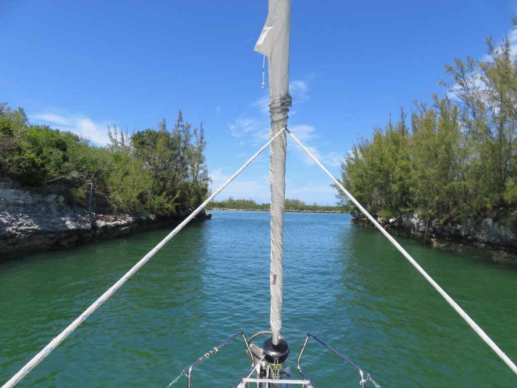
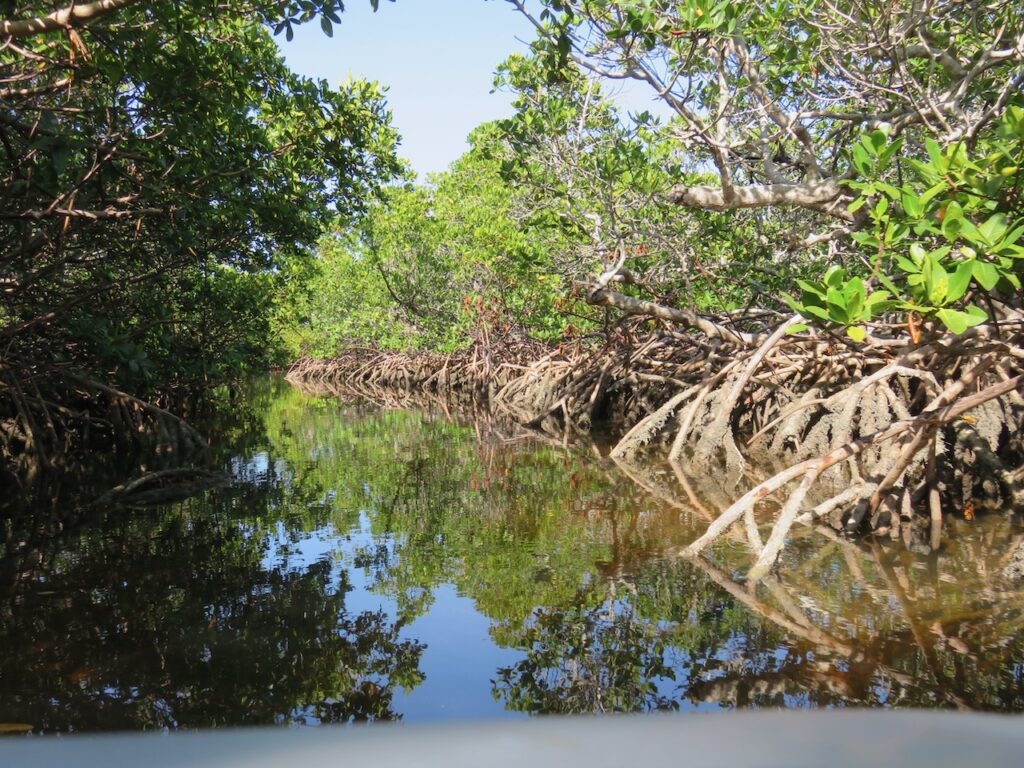
Little Shark River
We attempted the Little Shark River dinghy trip a second time with some veteran Loopers and this time we were successful!
Entering the river from the Great Bahama Bank side.The river bottom and why high tide was important…The river narrows down to a “dinghy-width” where the mangroves are the densest.The kaleidoscope of colors on the Atlantic end.The peninsula at Shelling Beach again…… and the Atlantic breakwater from the dinghy.The New Beach Club’s answer to “too much sun”.
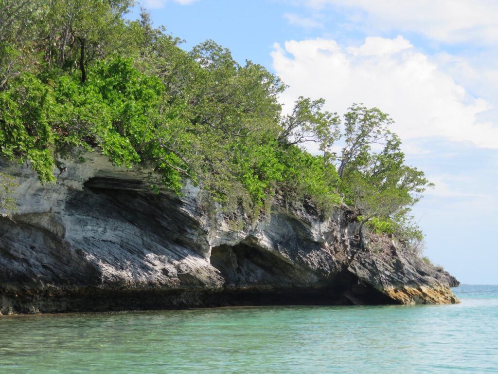
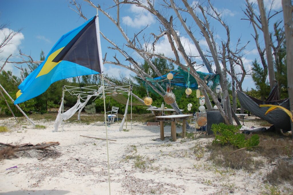
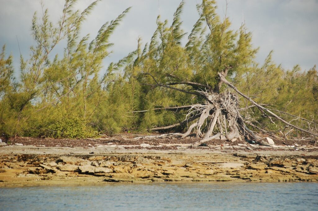
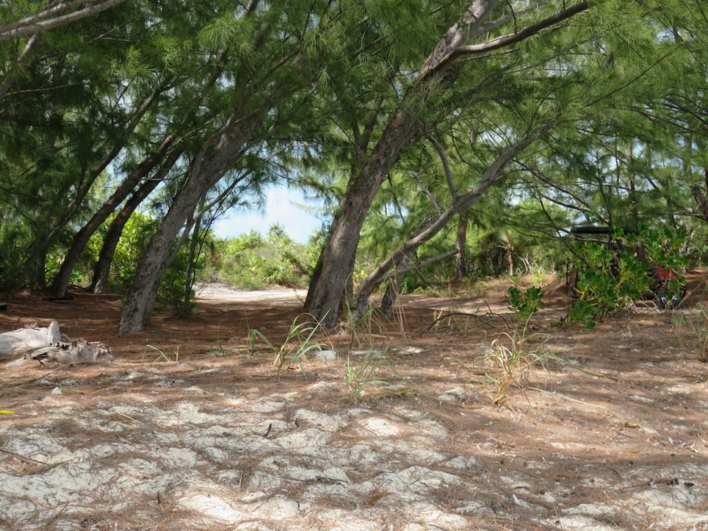
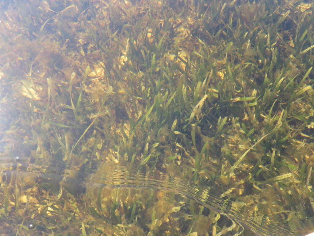
Come along on a dinghy ride and explore part of Cistern Cay’s western shore. The island is uninhabited now but was once home to some people the US’s DEA (Drug Enforcement Agency) wanted to get to know…