- Sister Cities
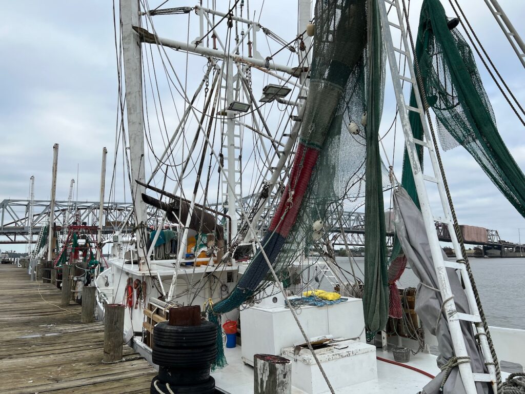
The Atchafalaya River meets the Gulf Intracoastal Way (GICW) in Louisiana’s twin cities of Berwick and Morgan City. The cities sit opposite one another with railway and highway bridges connecting the two. Our destination was Morgan City but there was a large dredging machine on the city dock when we arrived so we were lucky enough to get a glimpse of Berwick, as well.
Berwick, LA
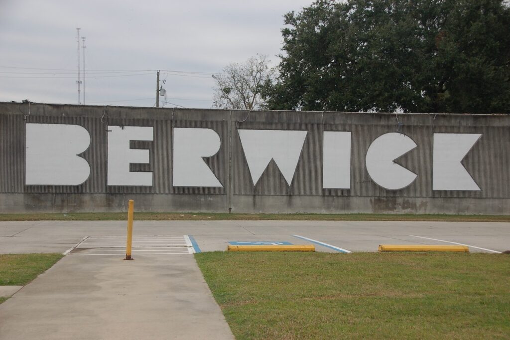
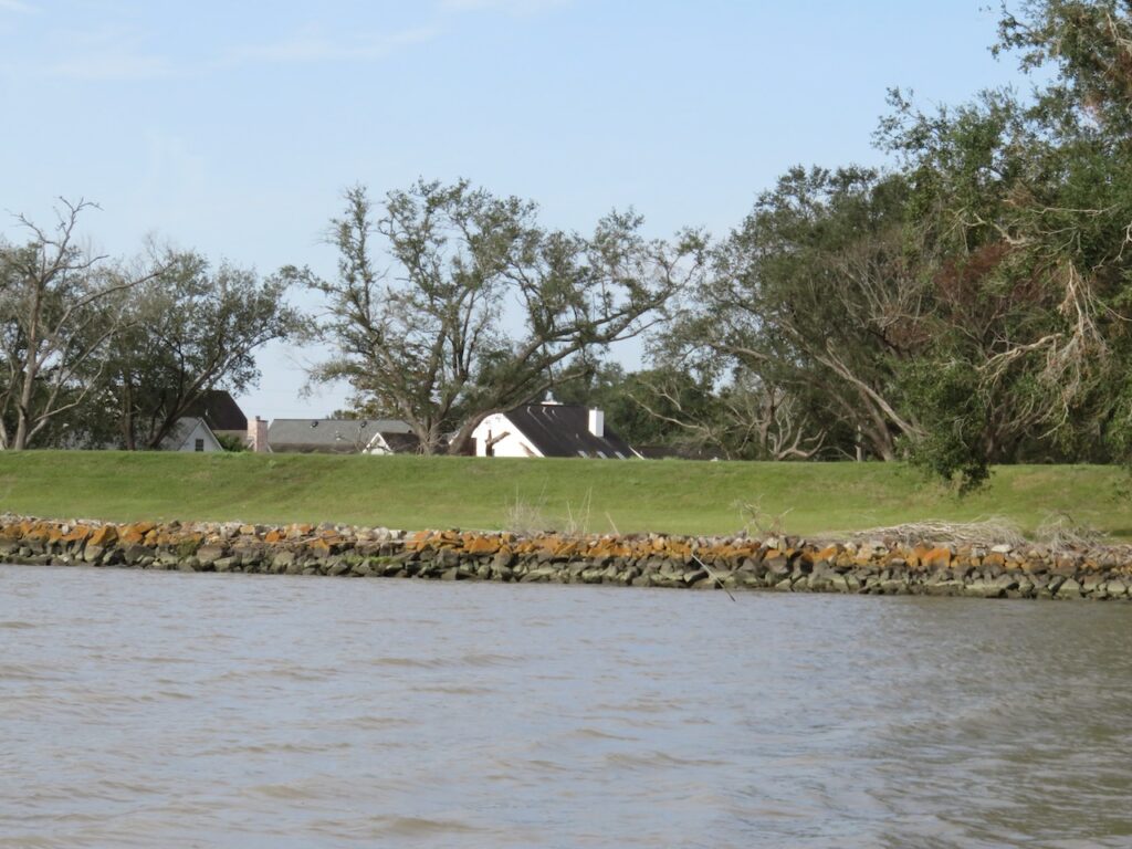
Both Berwick and Morgan City are protected by 13ft flood walls. So as not to be confused where you are, they also both have huge names adorning the flood walls. 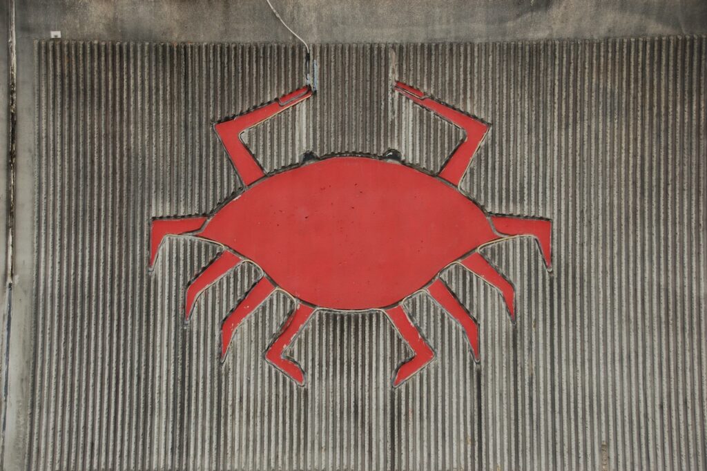
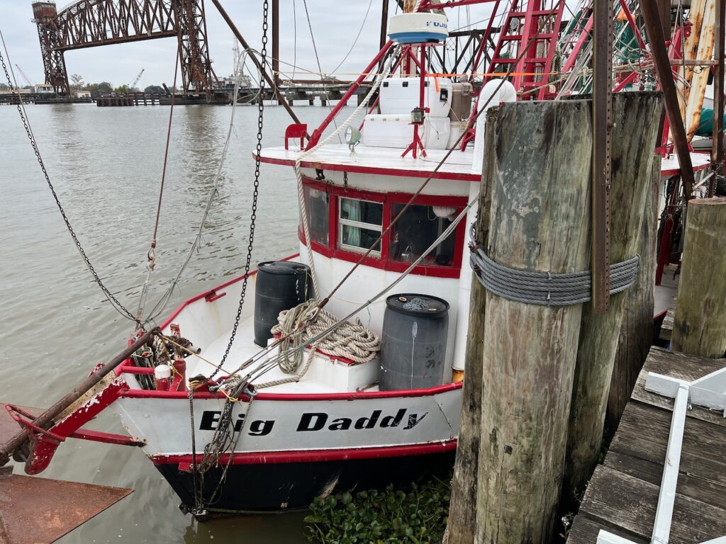
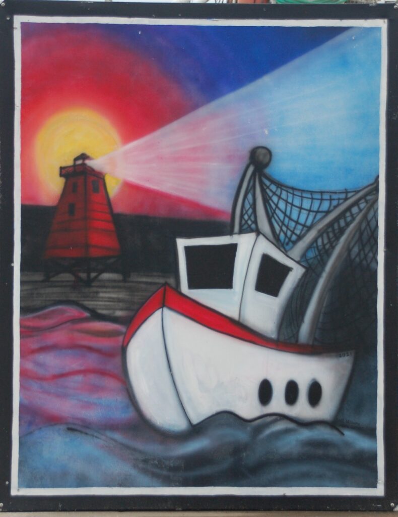
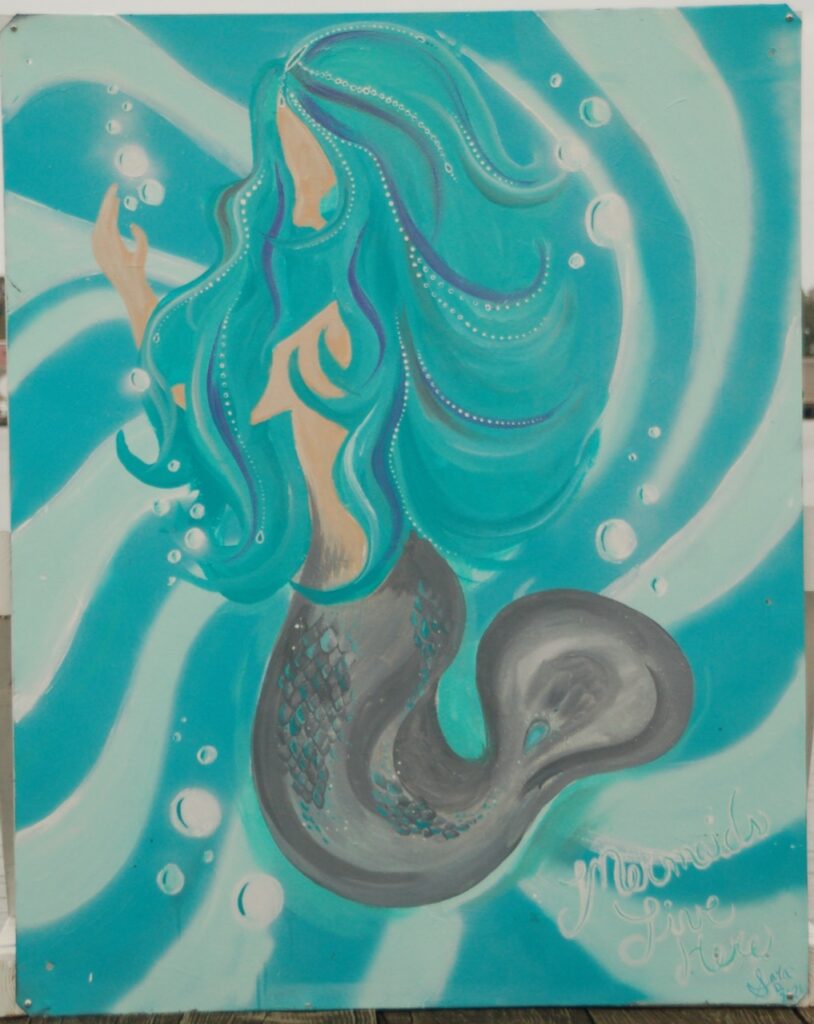
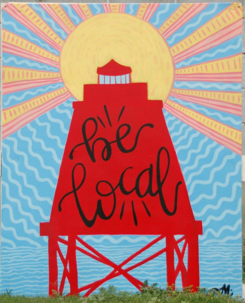
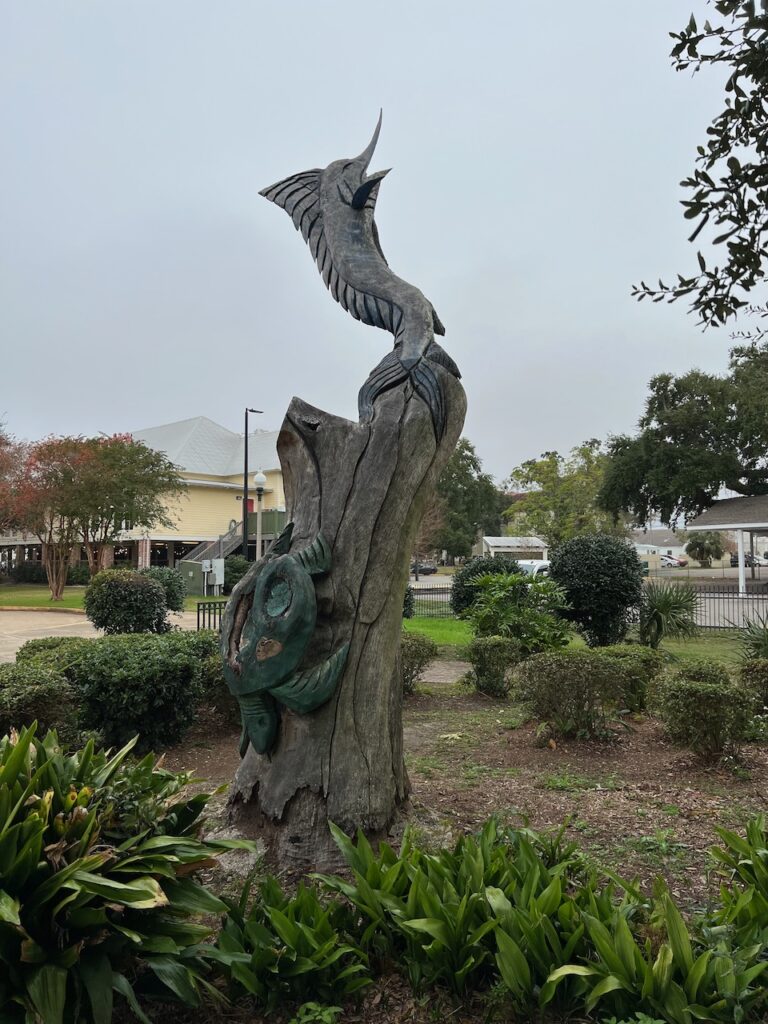
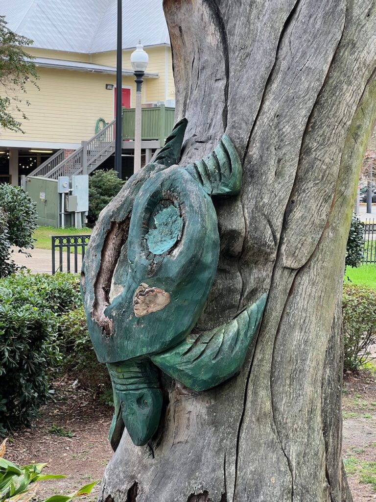
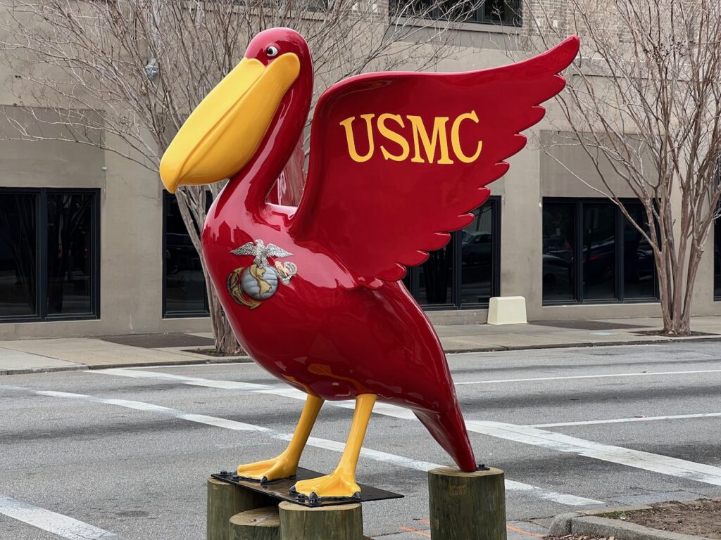
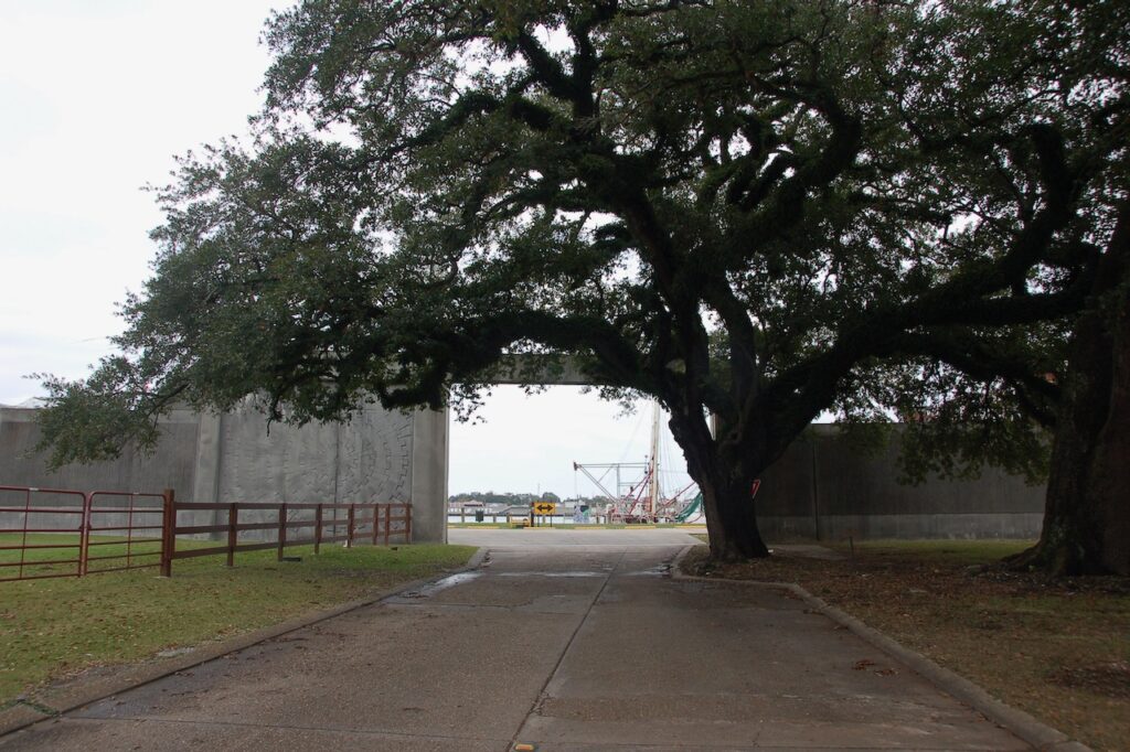
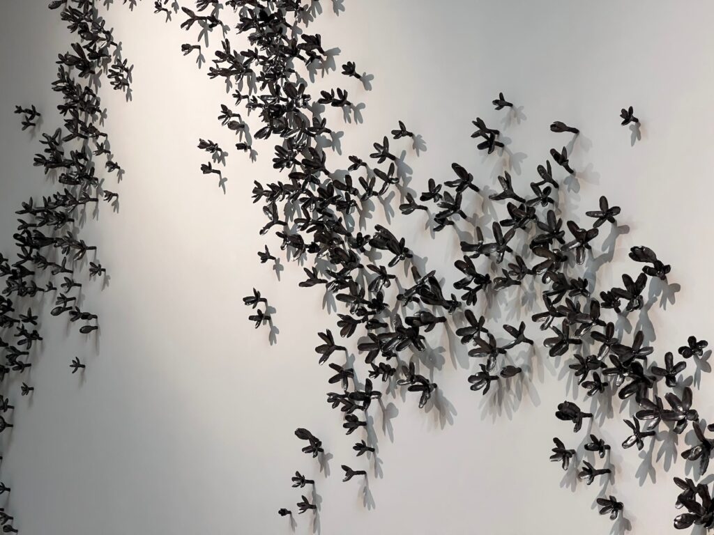
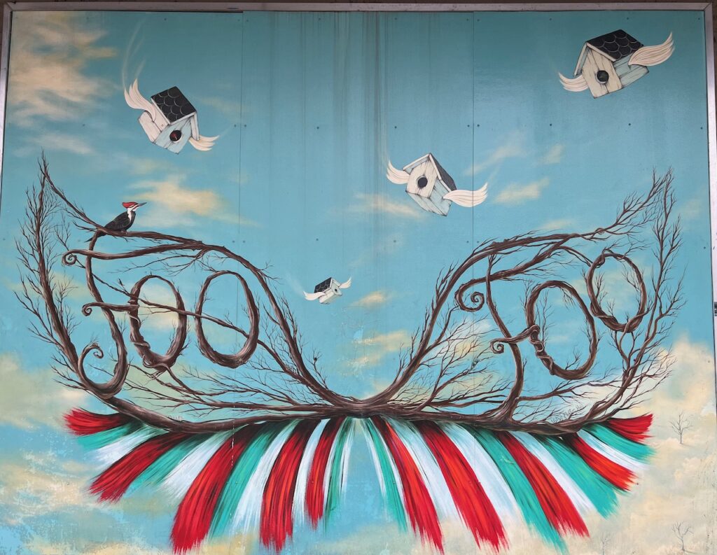
Berwick also has an art installation to break up the monotony of the cement. Berwick was the fishing side of the river. We docked in front of a seafood processing plant between these guys…
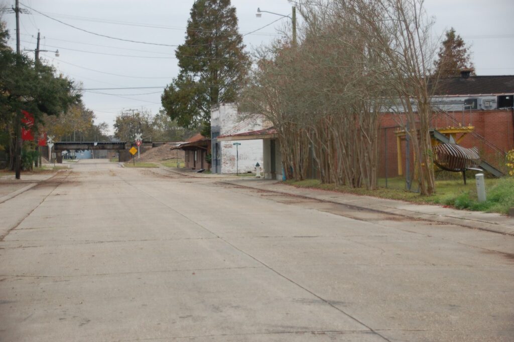
Canton St from the waterfront 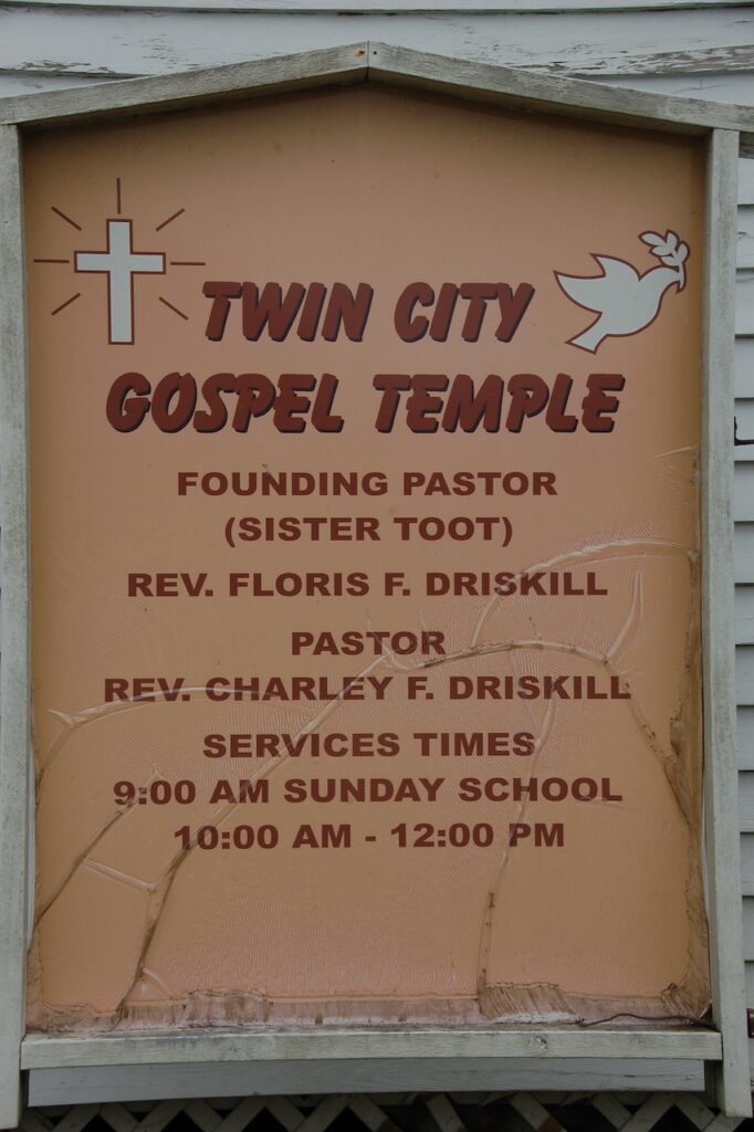
I liked “Sister Toot”🙃 
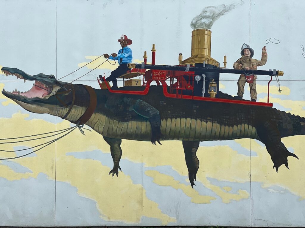
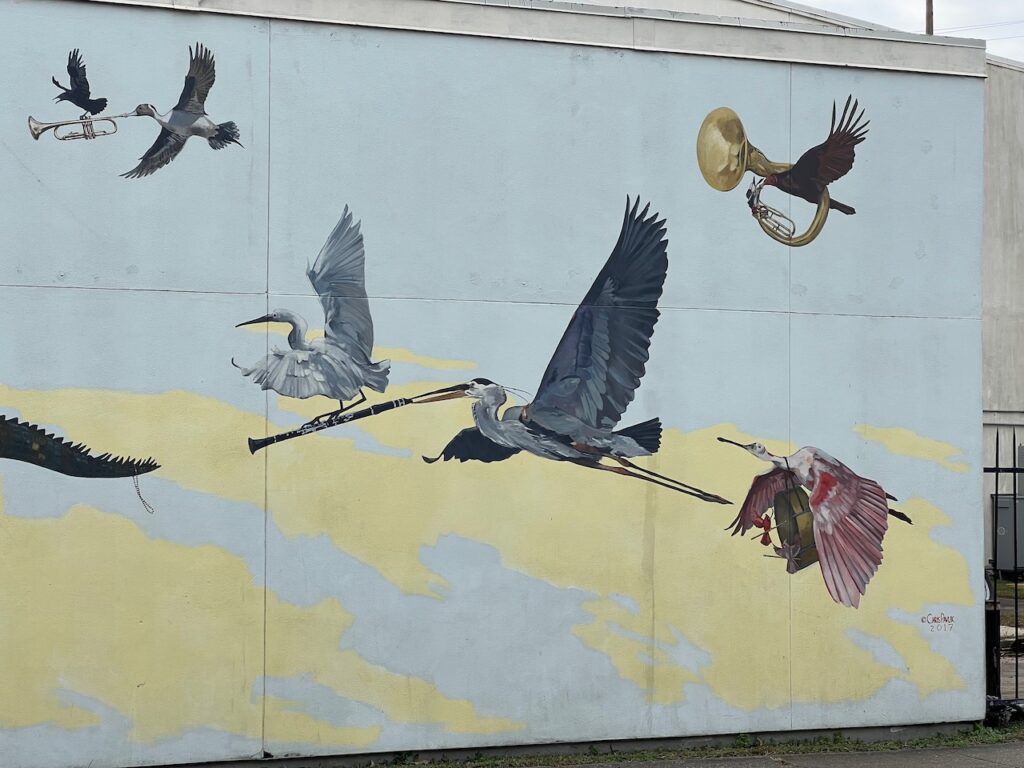
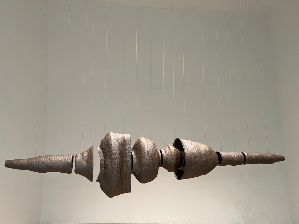
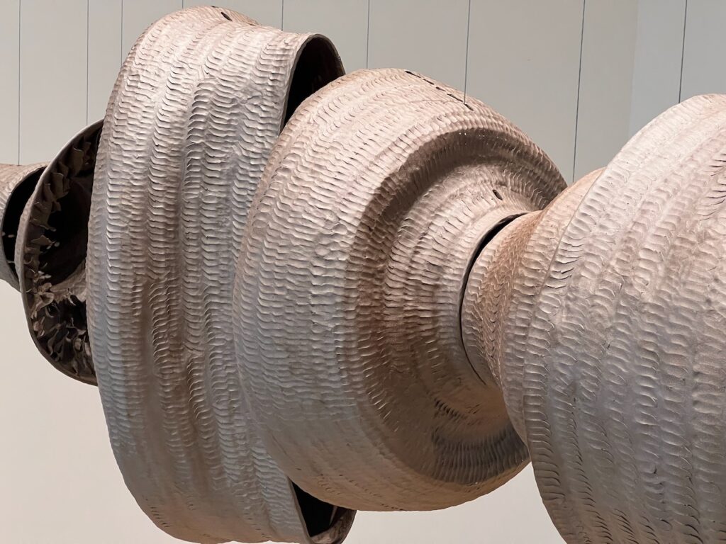
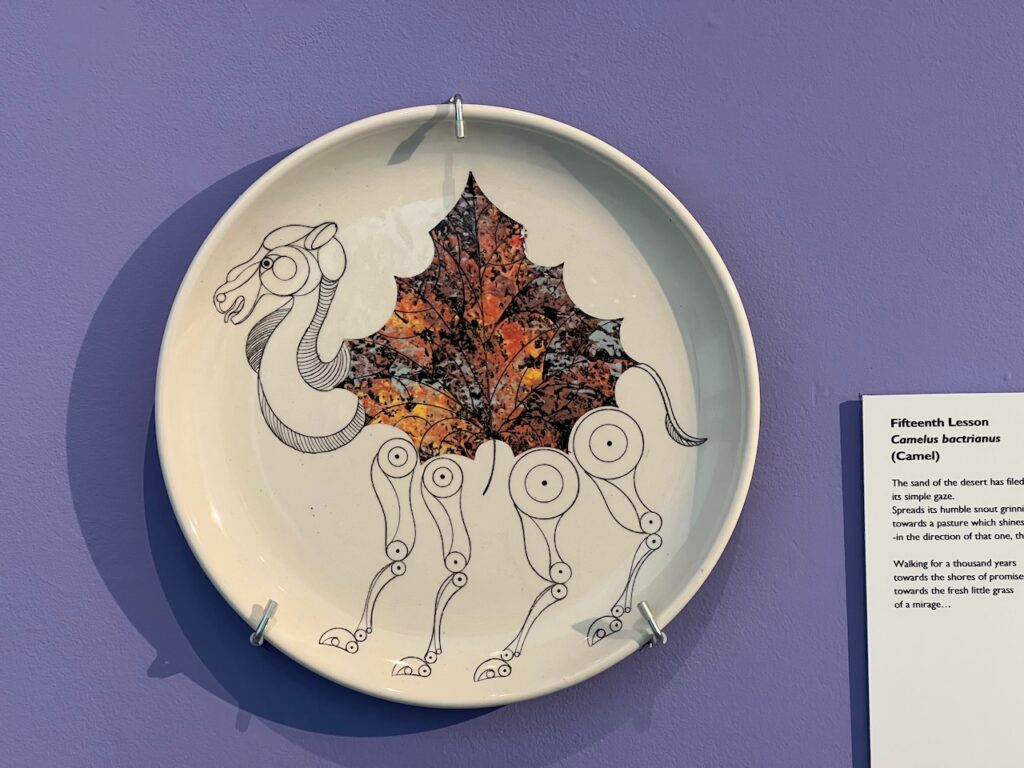
Utah St back to the waterfront There was some sort of art installation along the waterfront park. These were 5′ x 8′ panels scattered along the dock and the lawn. There was nothing to explain who the artists were or what the theme of the display was; they were nice nonetheless.
Morgan City, LA
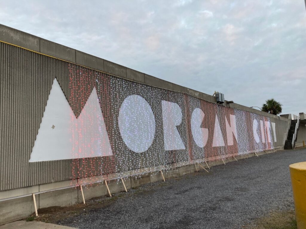
Across the river, the dueling moniker… 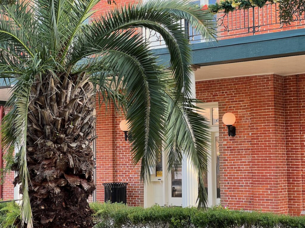
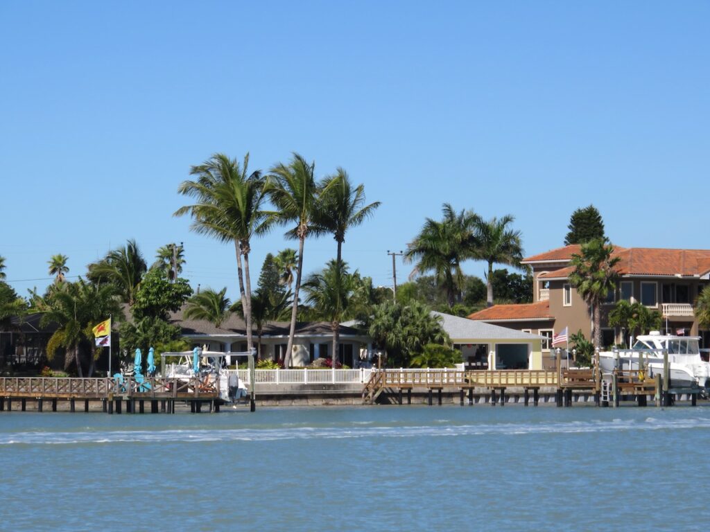
Our first palm tree! 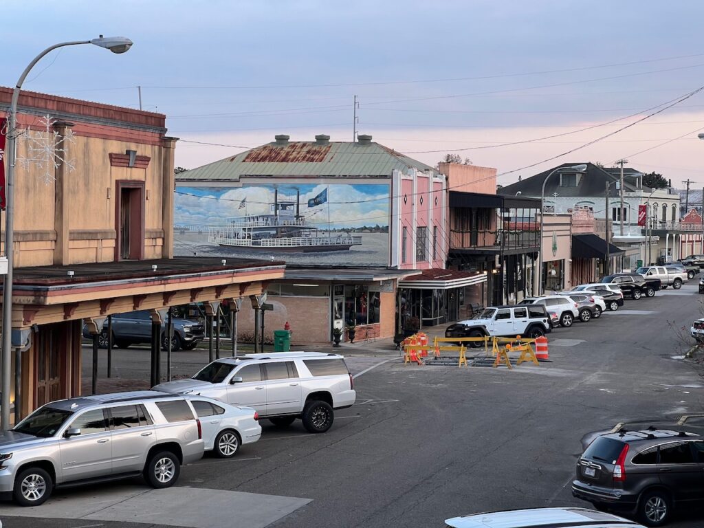
First Street, the heart of downtown Morgan City. 
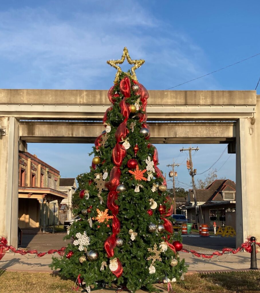
Lawrence Park. This tree reminded me of the Angel Tree in Charleston, SC… 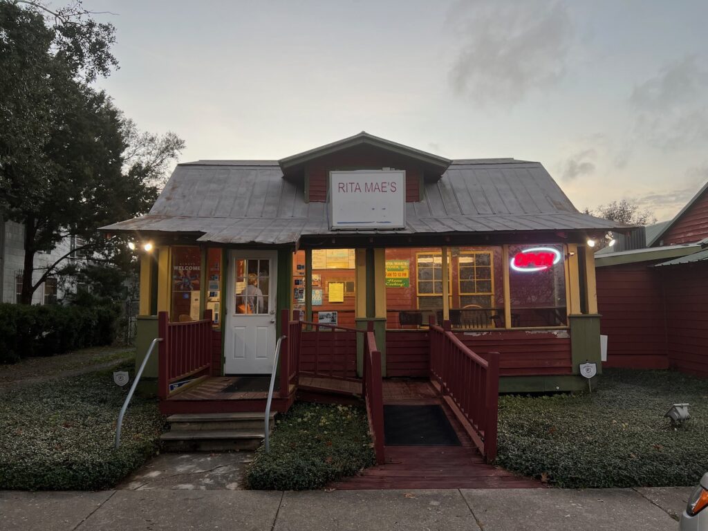
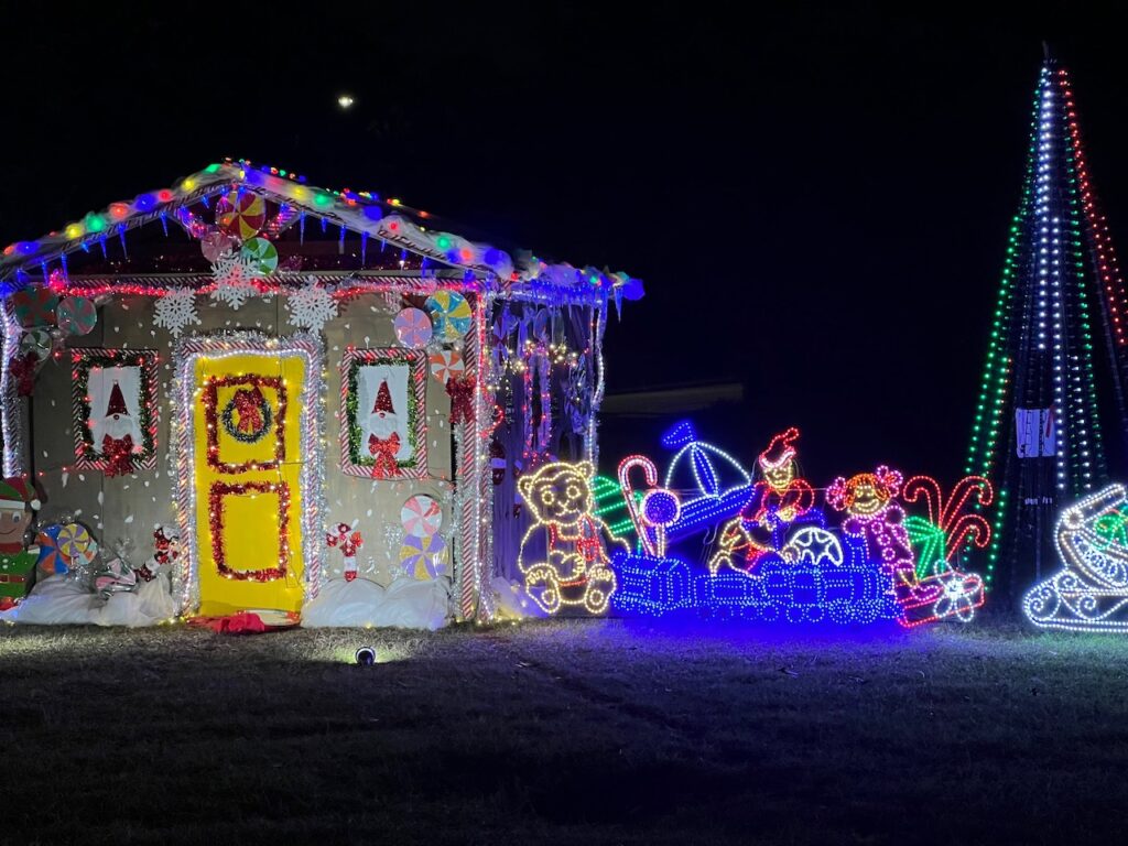
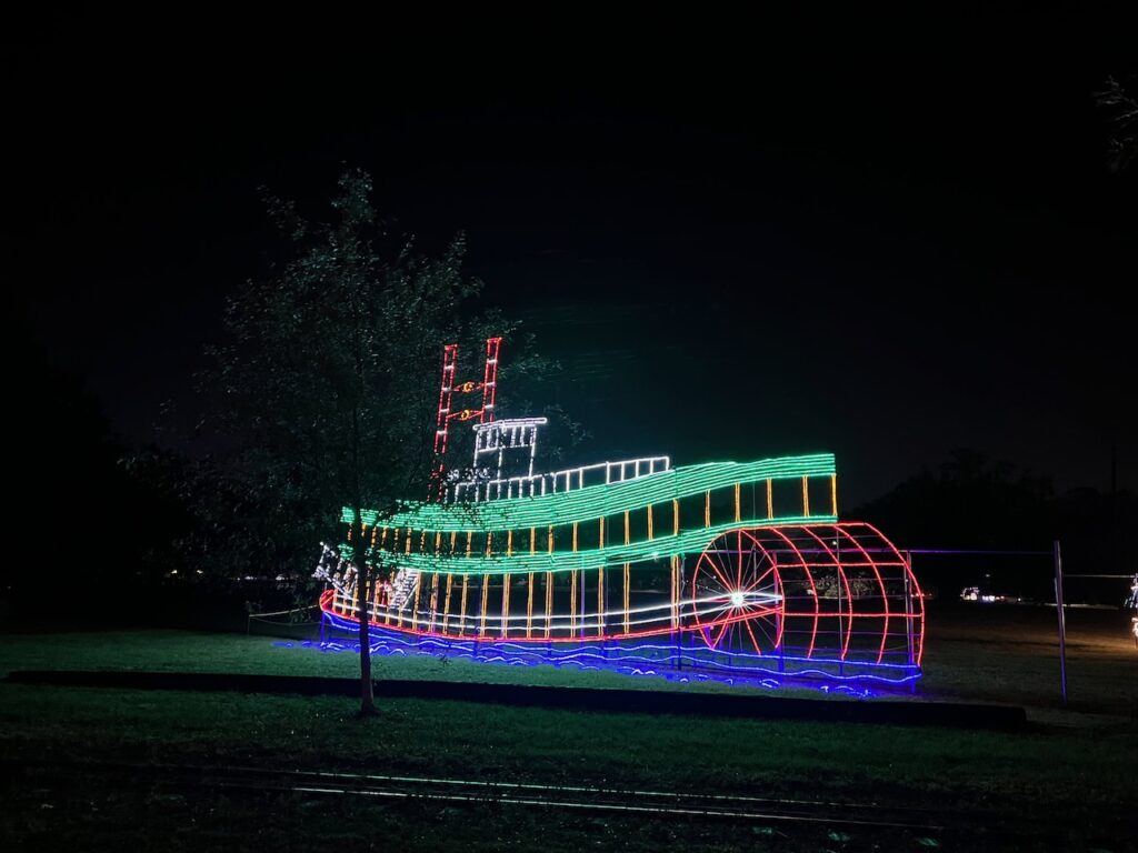
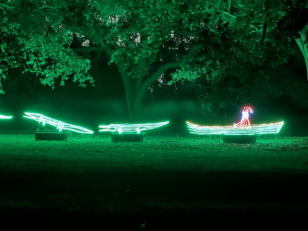
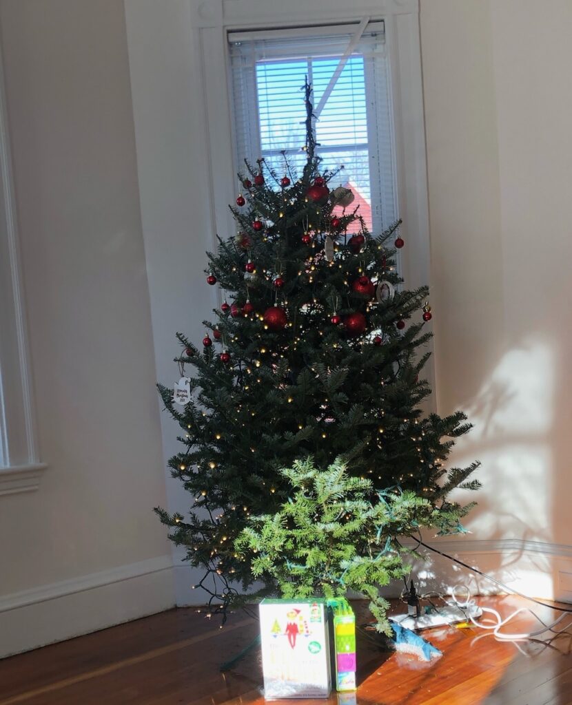
Delicious gumbo and fried catfish can be had here! Both Berwick and Morgan City were all dressed up for Christmas. The tree in the foreground is in Morgan City and across the river you can see the Berwick Christmas display!
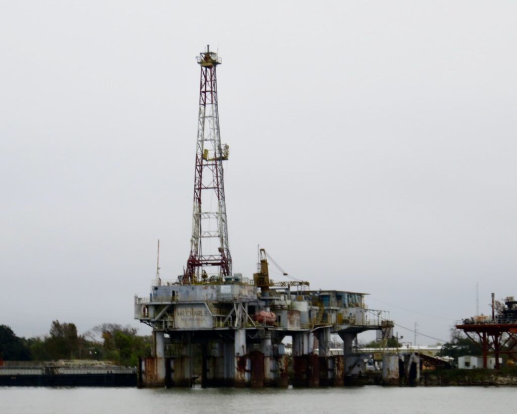
- Mr Charlie
In each of the places we have visited this year, we have met friendly, engaging people. Some have been boaters – in Greenville, Hal, who was kind enough to educate us on the area and its history AND offered to take us anywhere we needed to go – and some have had nothing to do with boating – in Presque Isle, the fellow ice cream customer who rides his Harley across the US once a year and took the time to tell us his story. We did not ever imagine that we would be more surprised, and pleased, at the generosity and kindness of strangers after our previous experiences… until Morgan City. There, we met Pete the town dock master (and local building inspector and cemetery manager) who checked in with us several times just to make sure we were okay. There, we met the kind clerk in the gift store who offered to drive me to another store to buy a postcard because she did not have any. There, a tow captain alerted us that our next lock lock was closed and told us to contact Berwick Traffic Control. There, the owner of Shannon Hardware had one of his employees drive us (in HIS car) to a competitor because he only sold 7/8″ anchor line in 300ft rolls but his competitor would cut us the 100ft we needed. There, the supervisor at EJ Fields Machine Works let us use their degreasing bath and cleaned off a work bench for us to re-assemble our sail-drive clutch assembly. And Virgil, who not only does the most thorough, fascinating tour of Mr Charlie, but also gave us to the tip to ask EJ Fields AND helped us to properly dispose of two cans of questionable diesel fuel. I think there must be something in the water there that makes everyone soooo gracious!
But on to Mr Charlie, the subject of this post… Mr Charlie is the first, and only remaining of its vintage, “re-useable oil rig”. Re-usable in the sense that it was mobile because it was built on a barge. It could drill a well and then be moved to drill another, elsewhere (up to that point in time, deep water rigs were permanent structures). Laborde, the naval engineer who championed the design, struggled to convince his company, or other major players, of the viability of the idea. He did though, finally, manage to get backing and Mr Charlie was built, deployed and proved that the barge concept was productive and safe
Virgil’s tour took us up and down the rig: into the crew quarters, onto the drilling platform, down in the mudroom. Along the way, he provided the color for each of these areas, explained how an oil well was drilled, spoke to us about the Deepwater Horizon tragedy and explained the effort he was engaged in trying to obtain a National Historic site designation. The rig is an engineering marvel and deserves the designation; it has already earned awards from the ASME (American Society of Mechanical Engineers) and the AWS (American Welding Society). If you are interested in supporting the effort to earn National Historic site designation, look for the app ‘Shadow – Puzzle Game’ which the museum developed and is using as a fund raiser. And do not miss this tour if your travels bring you this way; it was right up there with the factory tour at BMW!
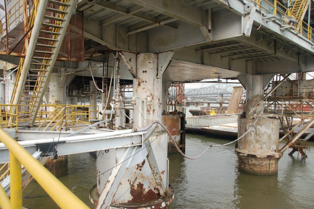
The underside of the platform and the legs which rest on the barge. 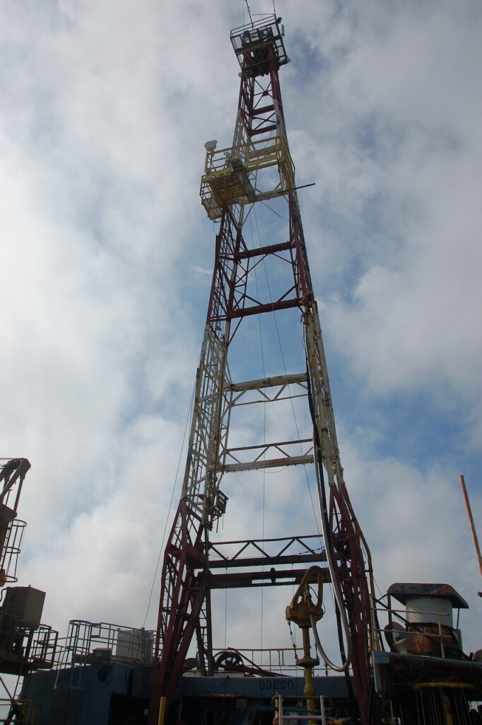
The derrick. 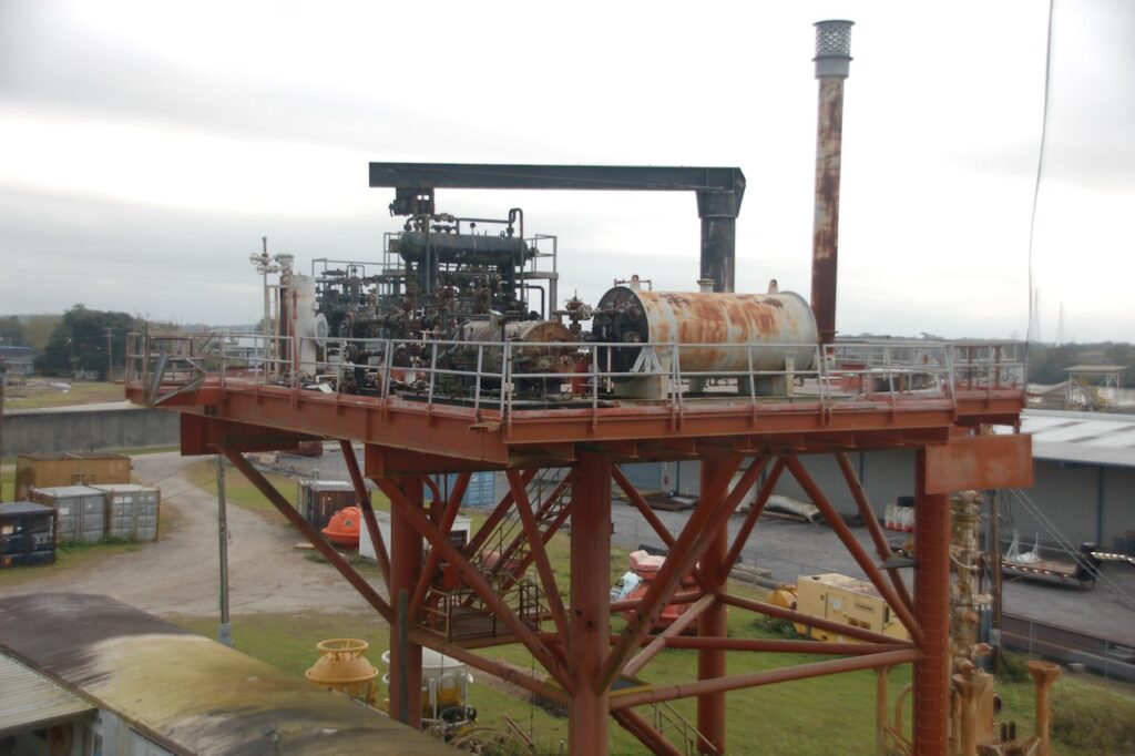
A replica production platform; once the well is drilled, the drilling platform is replaced with a production platform. 
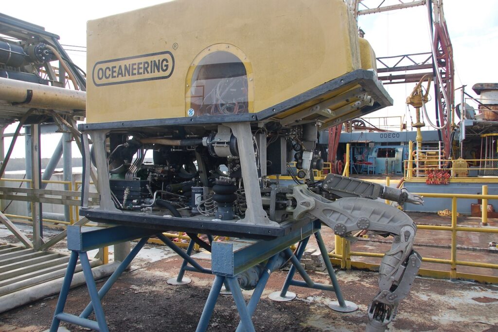
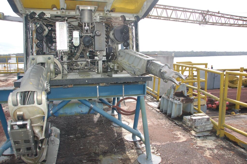
Drill heads. The pipe handling robot.

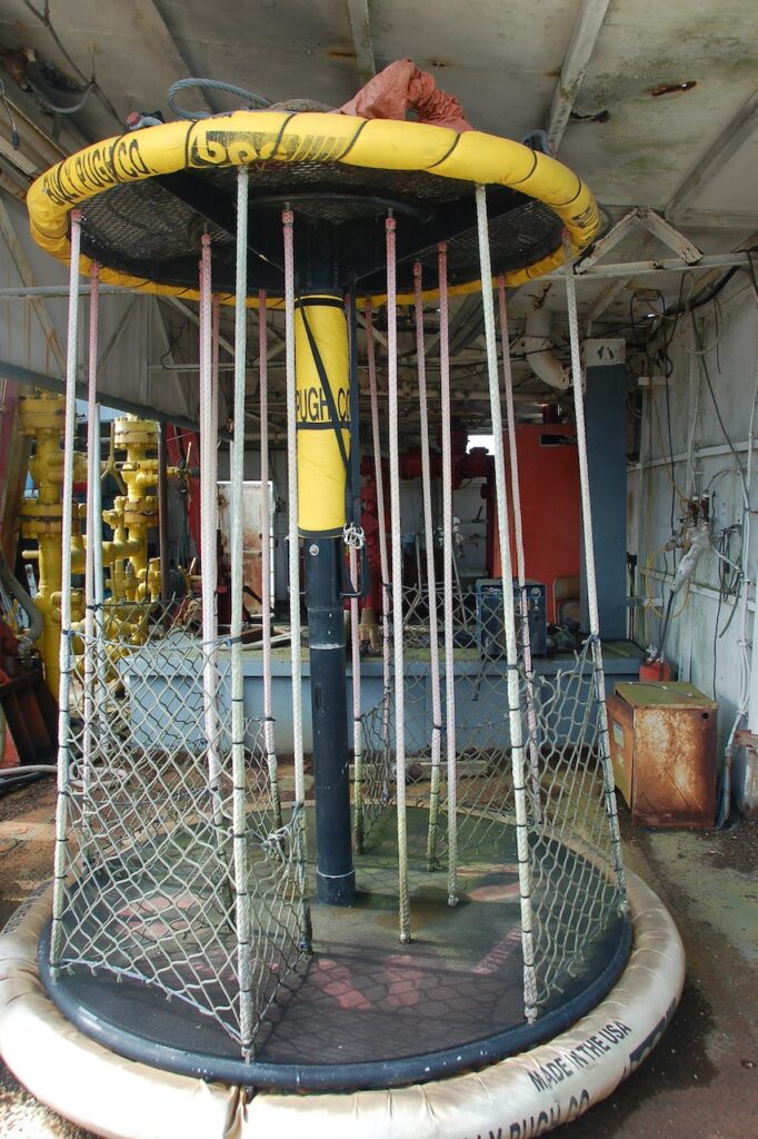
The basket used to transfer crew from a supply ship to the rig. 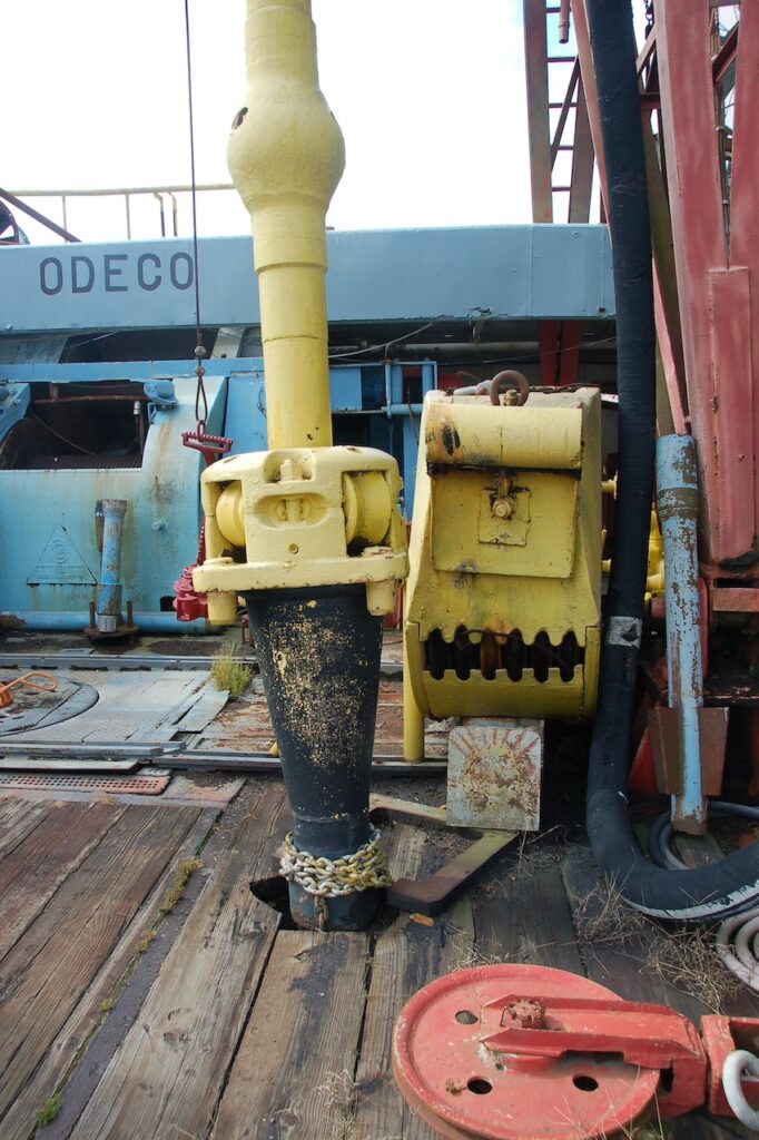
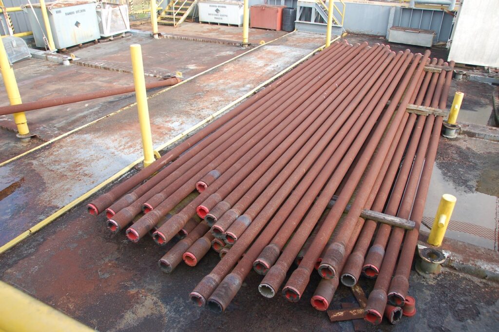
The drill collar. 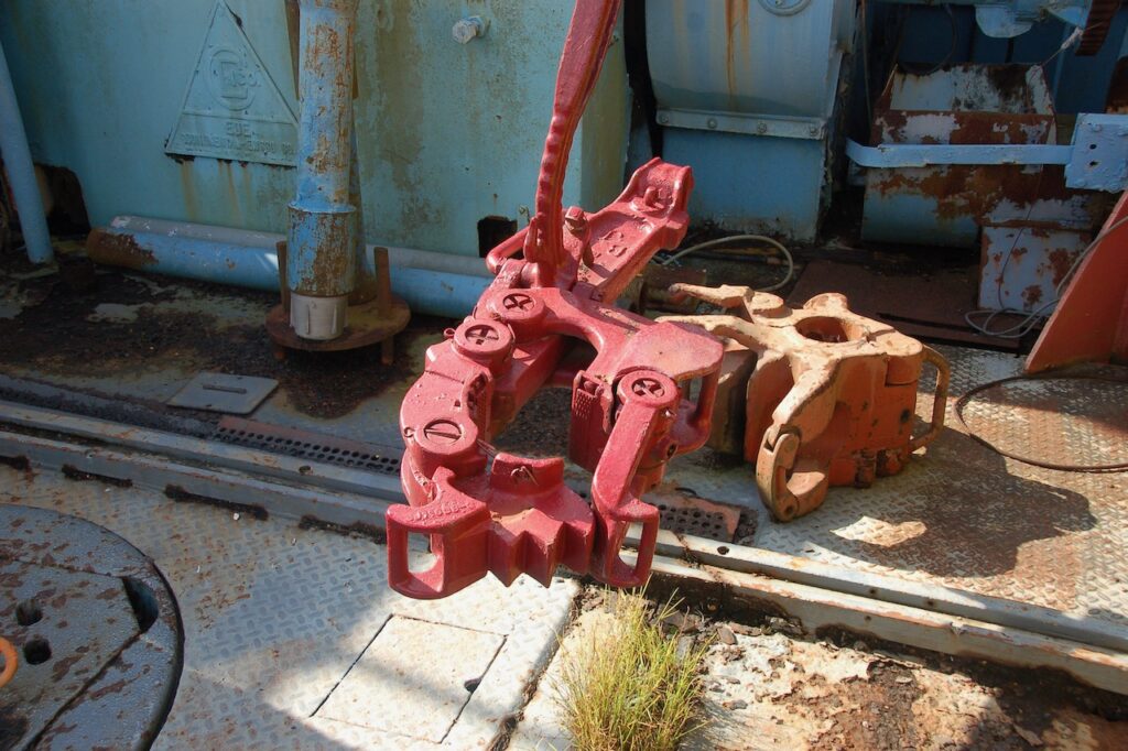
A pipe wrench. 
The drilling mud supply line. 
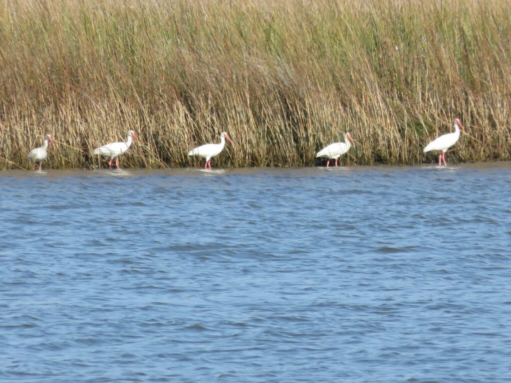
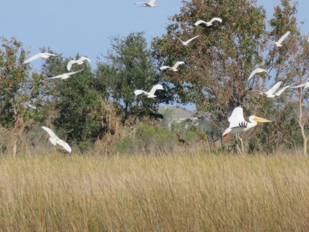
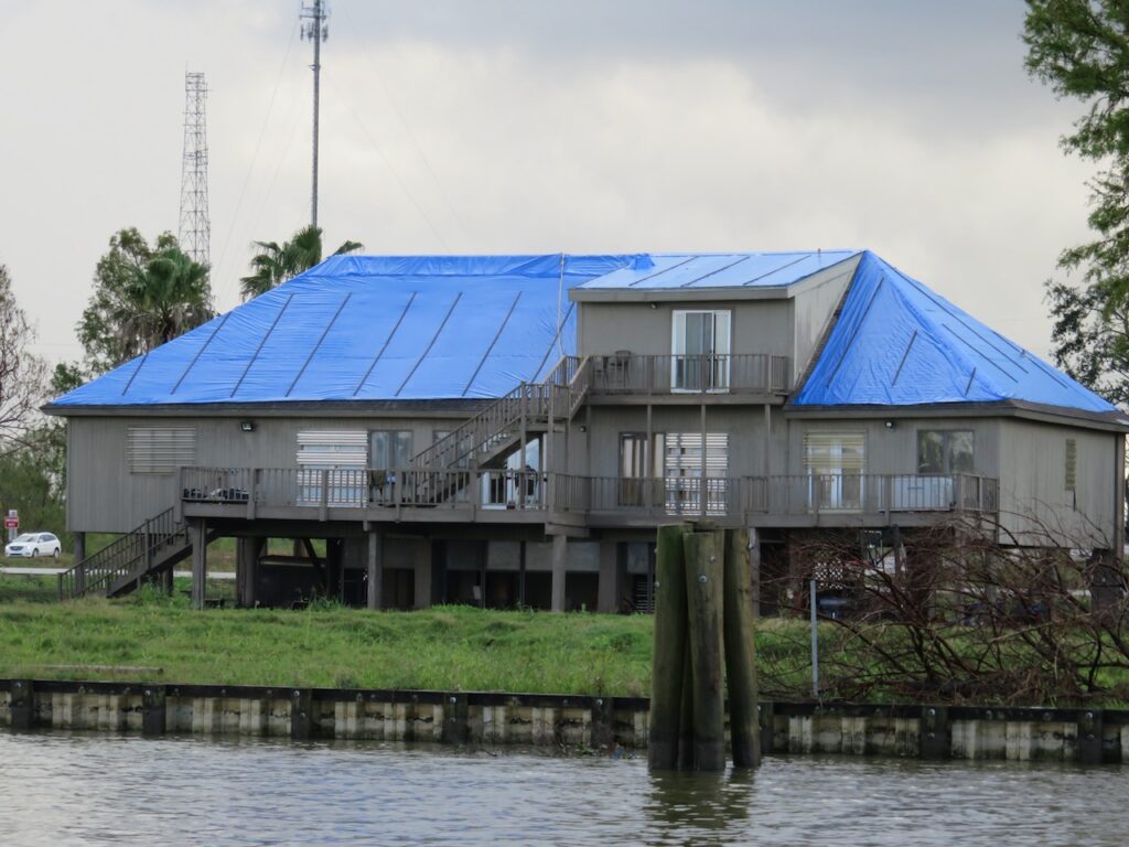
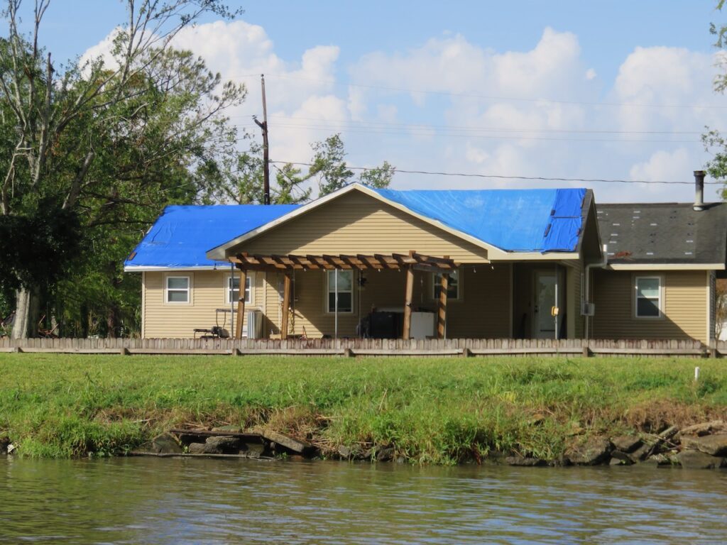
Mr Charlie - Cajun Country…
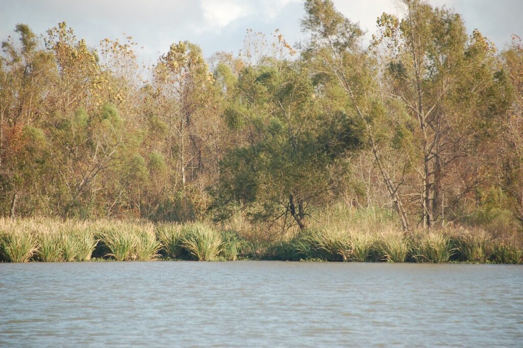
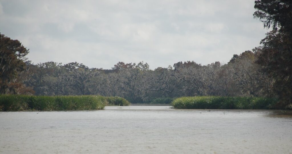
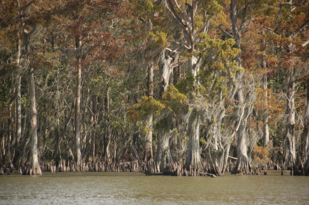
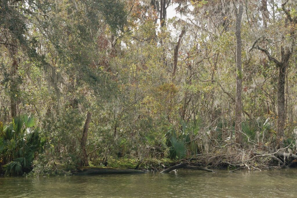
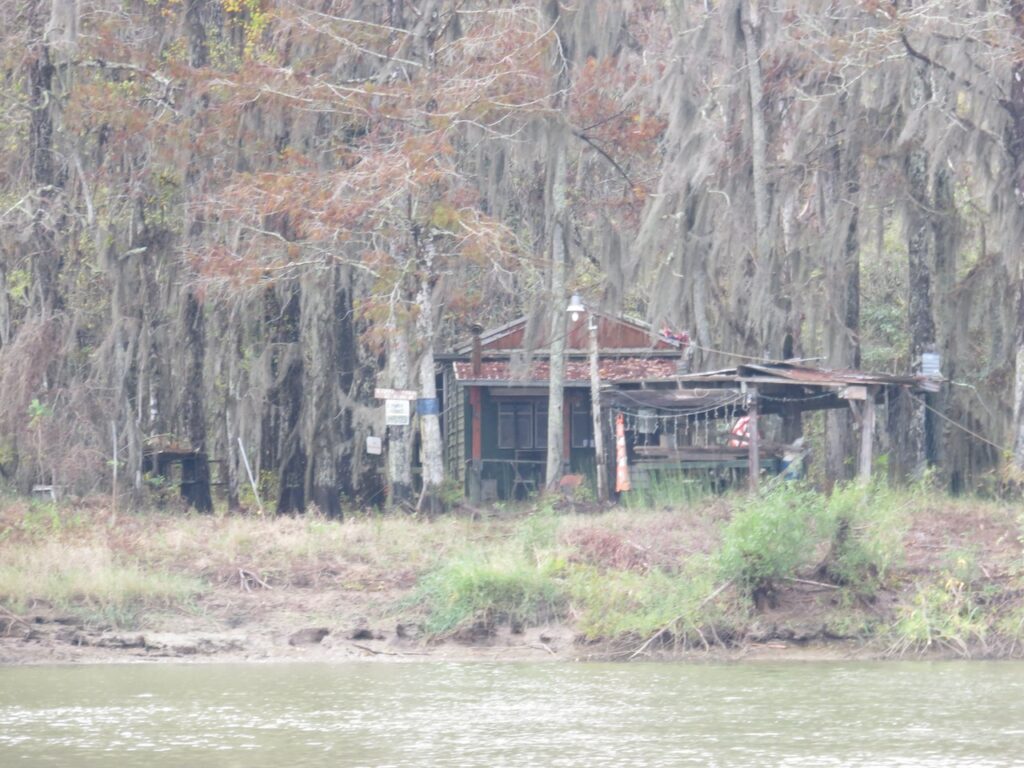
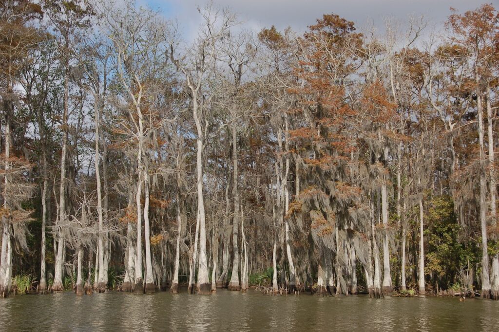
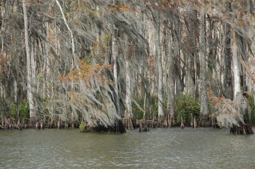
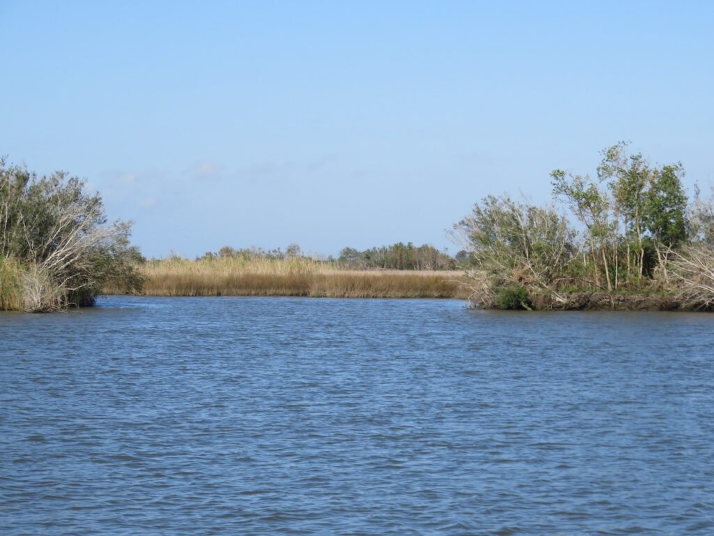
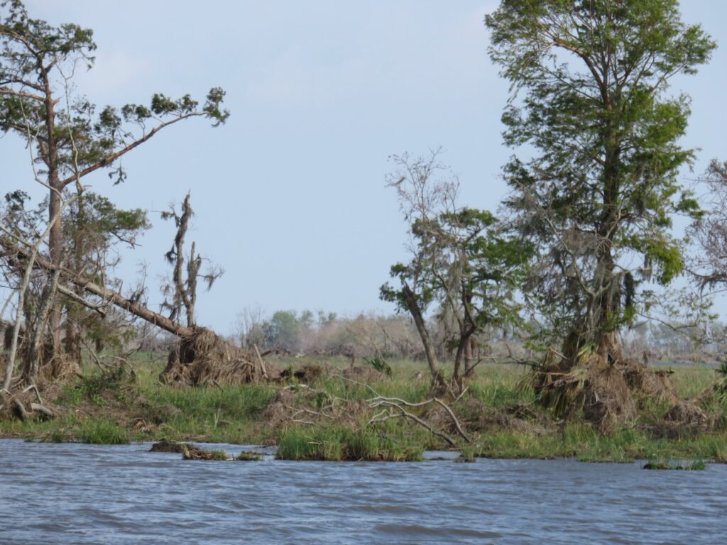
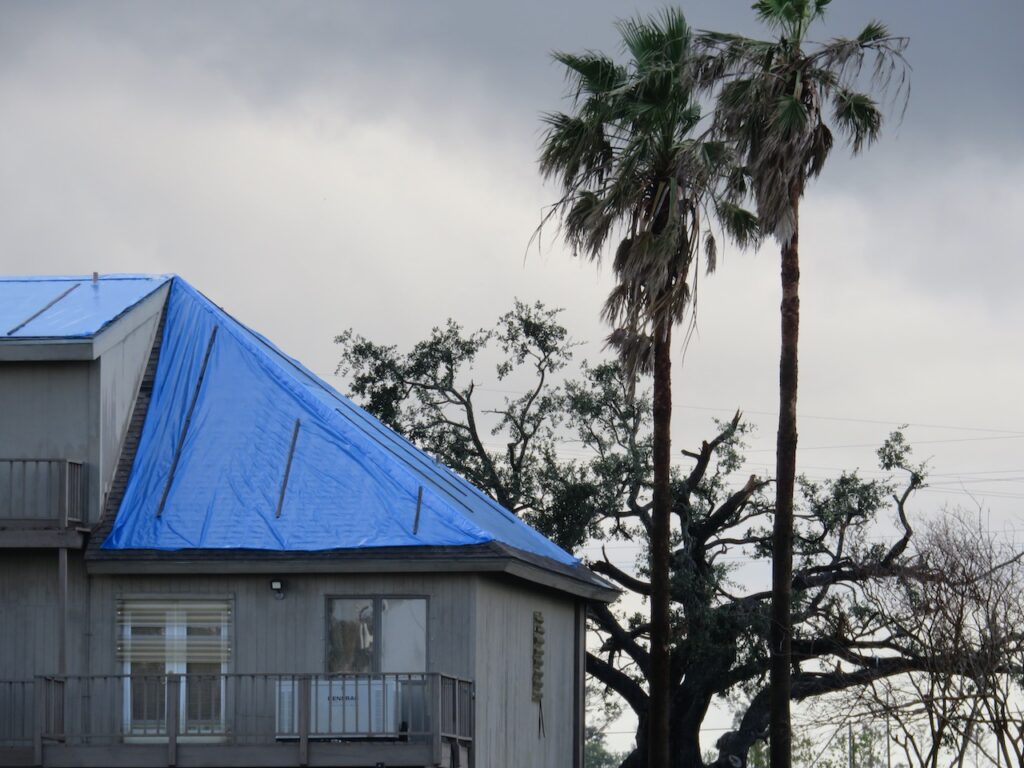
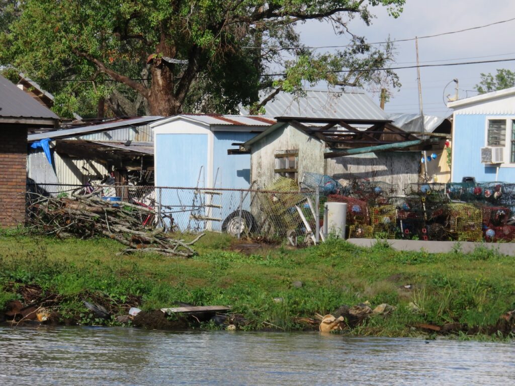
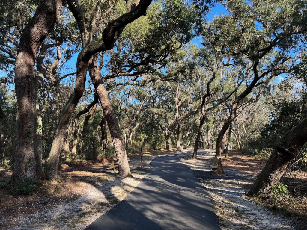
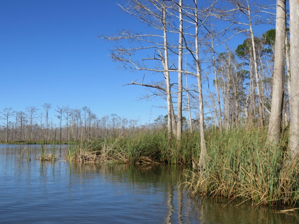
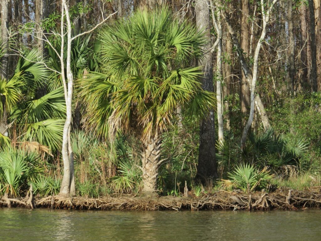
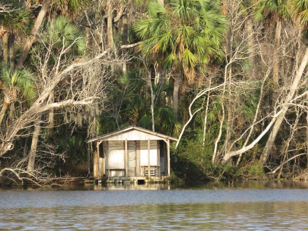
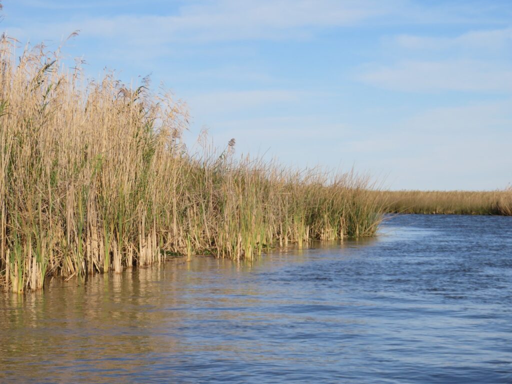
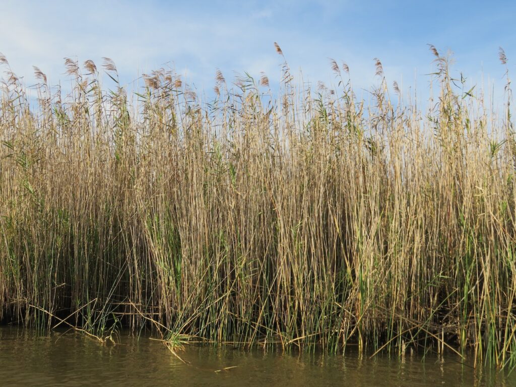
…where we meandered through the haunting bayous, past the land of blue-roofed houses, through Cajun parishes with names like Terrebonne and Cane to the culinary capital New Orleans. Nature’s raw beauty and savagery on full display…
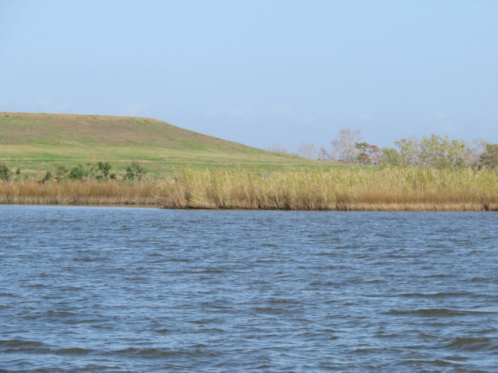
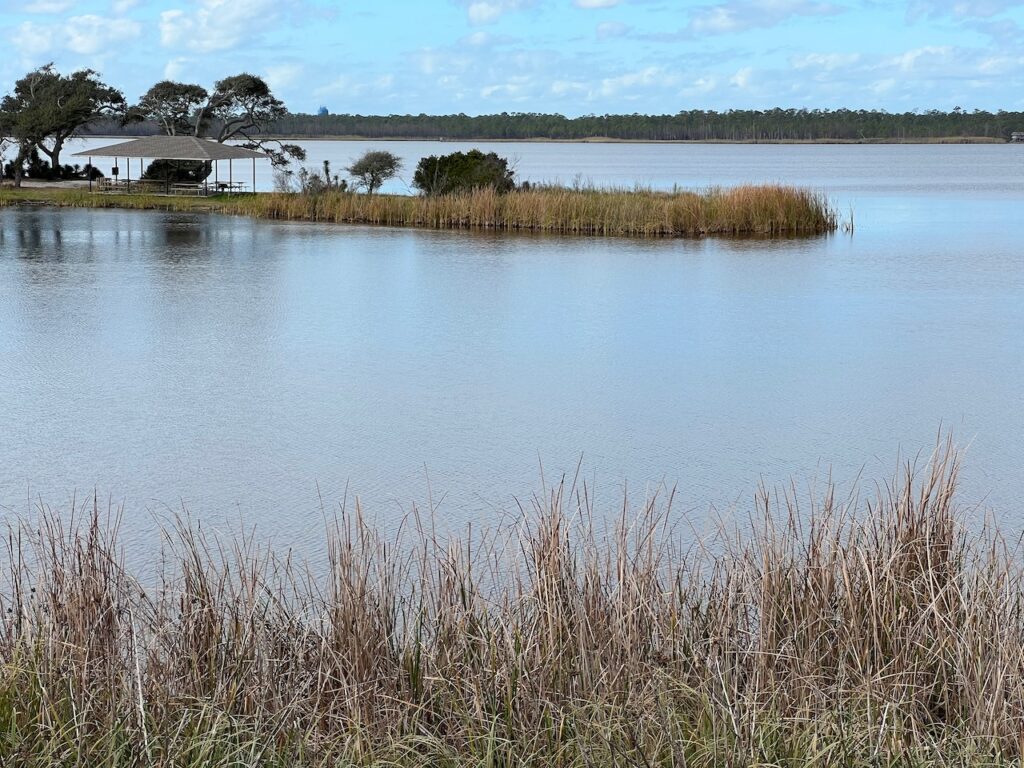
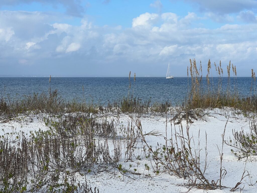
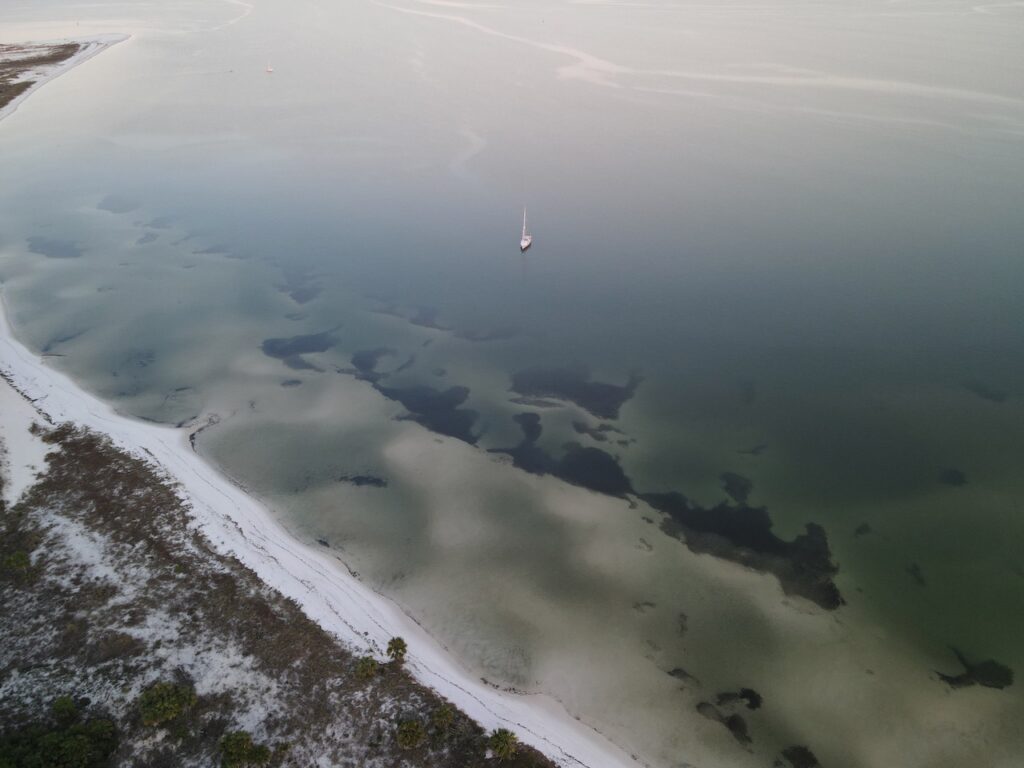
The grassy banks of the inland bayous give way to cypress forests and shallow lakes as you get closer to the Gulf.


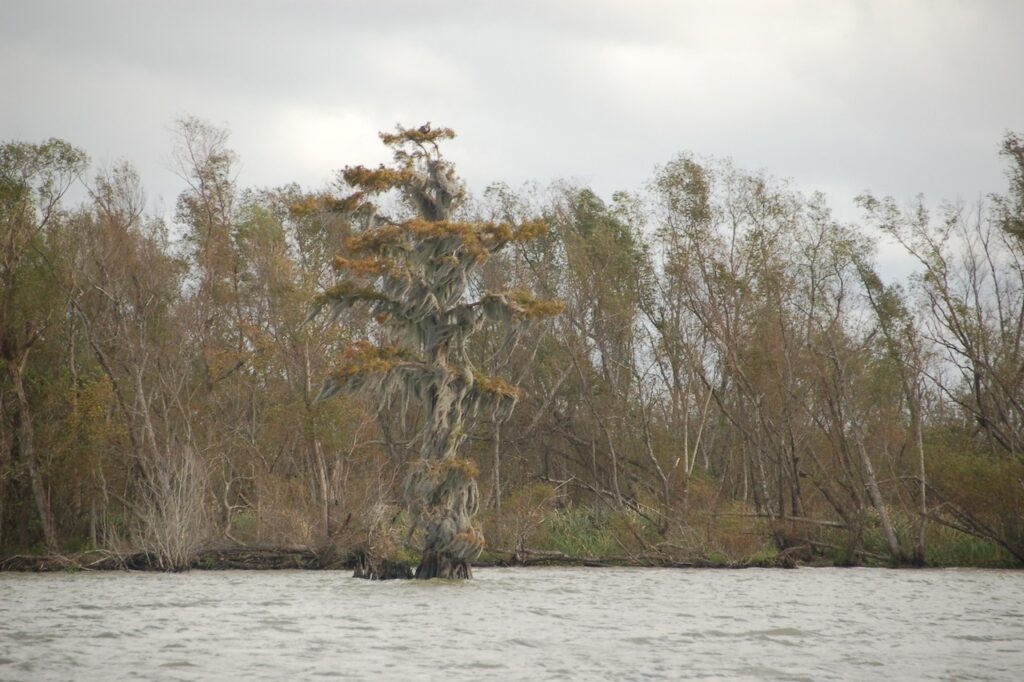
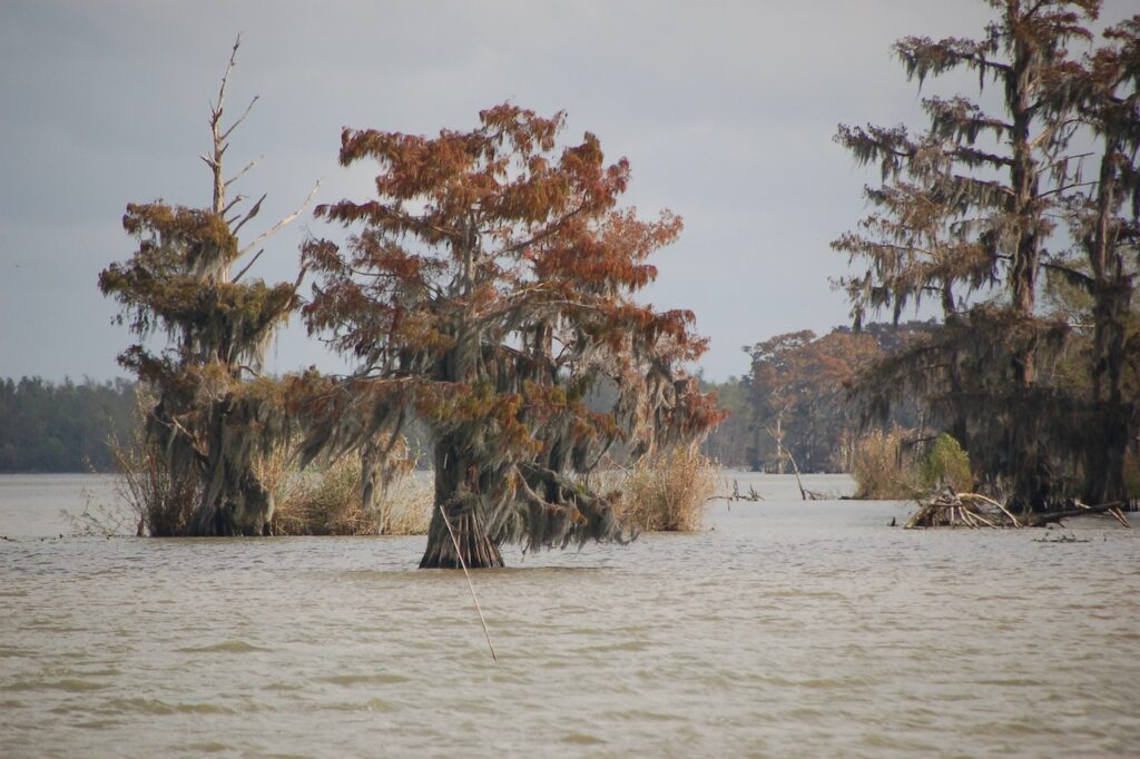
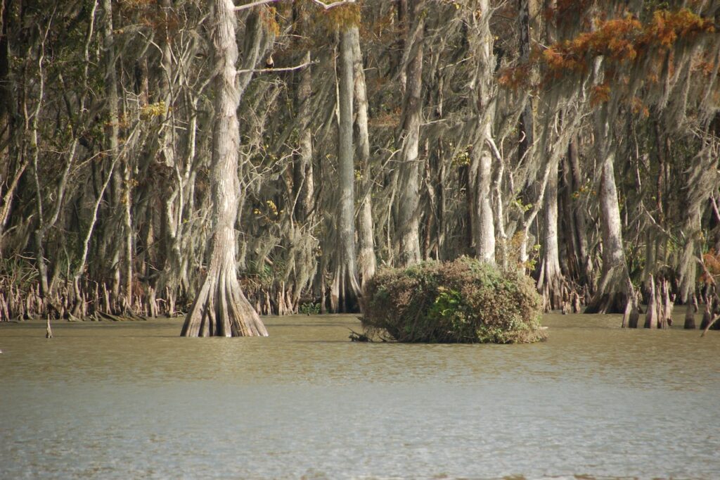
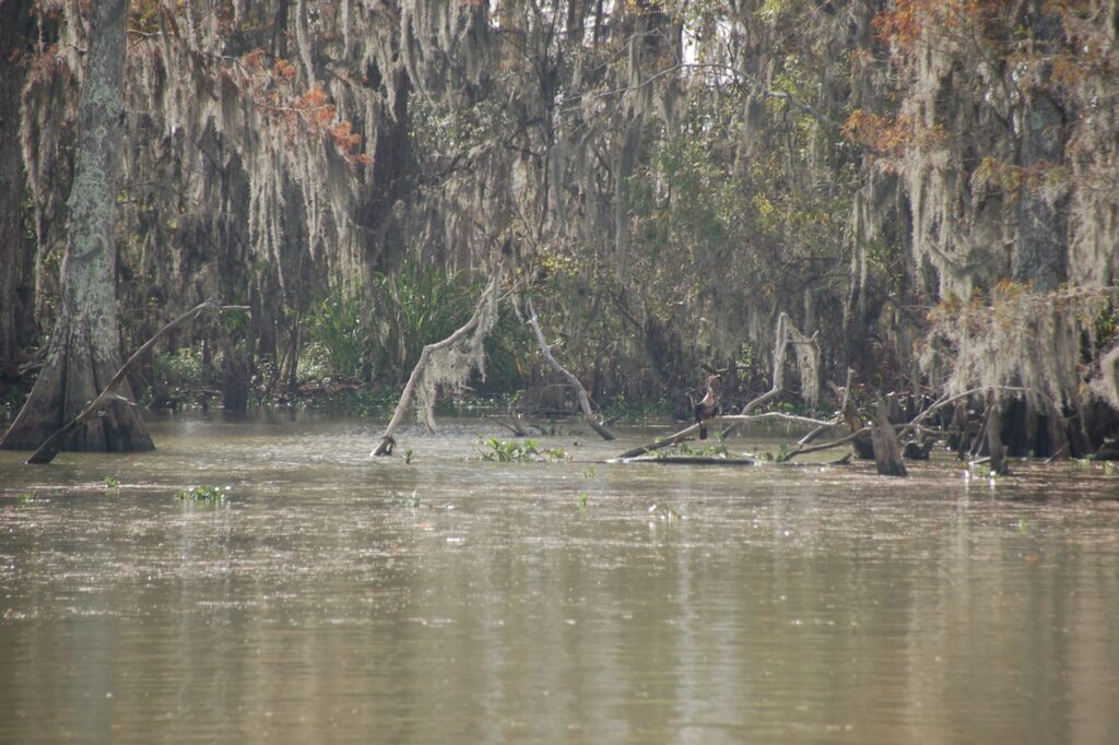


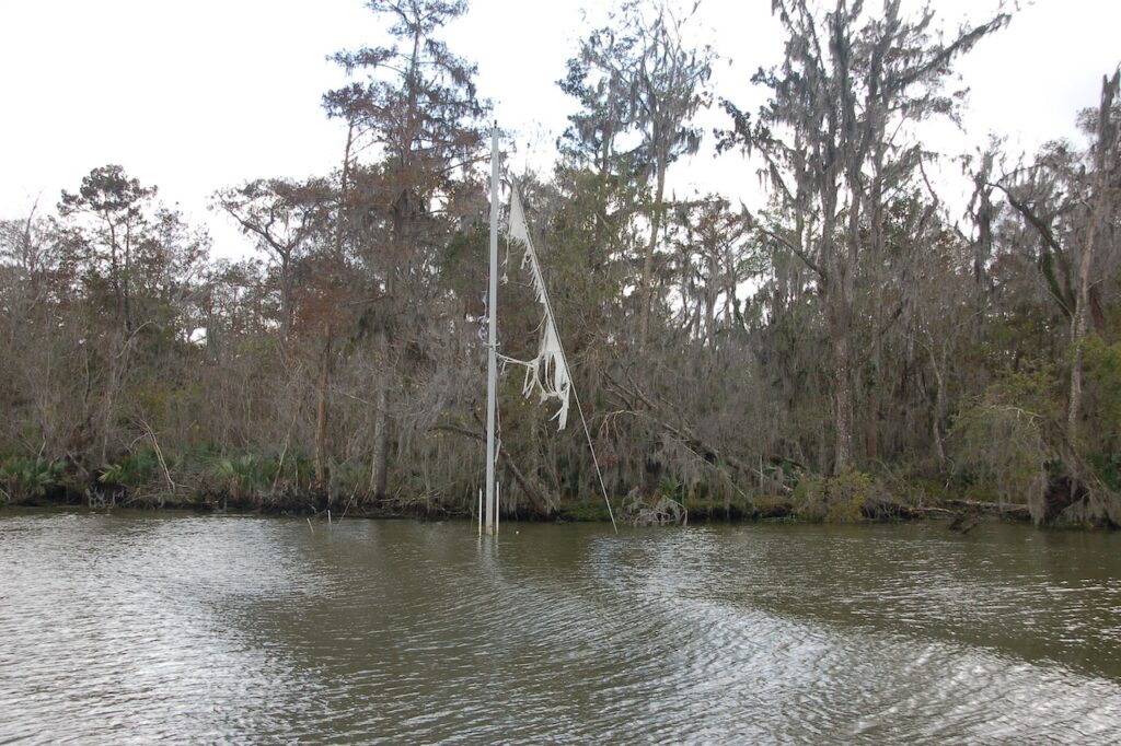

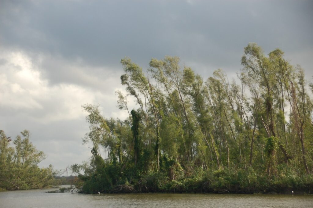
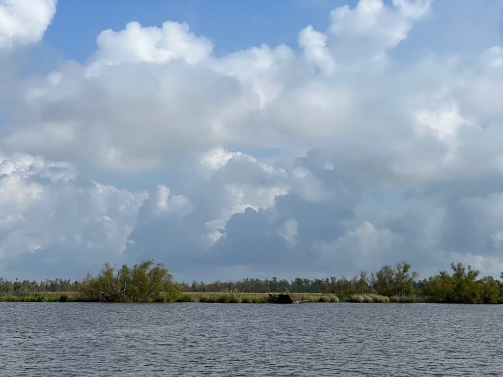
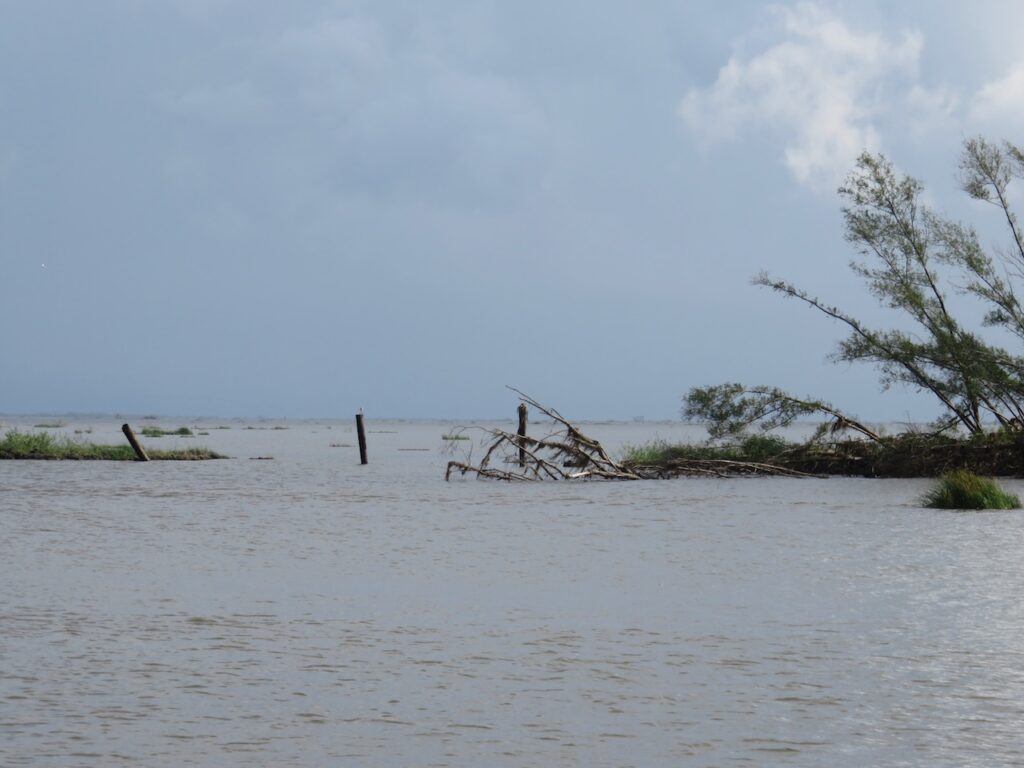
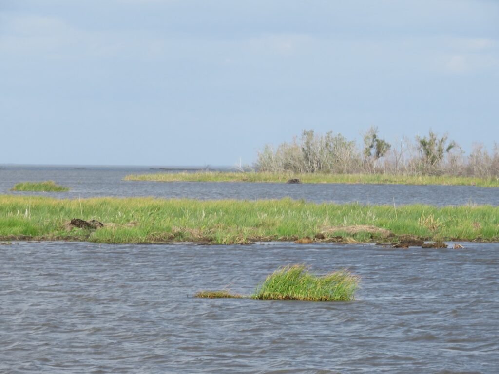
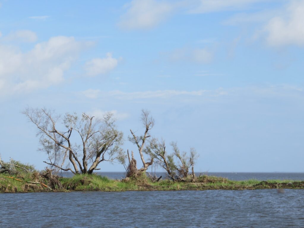

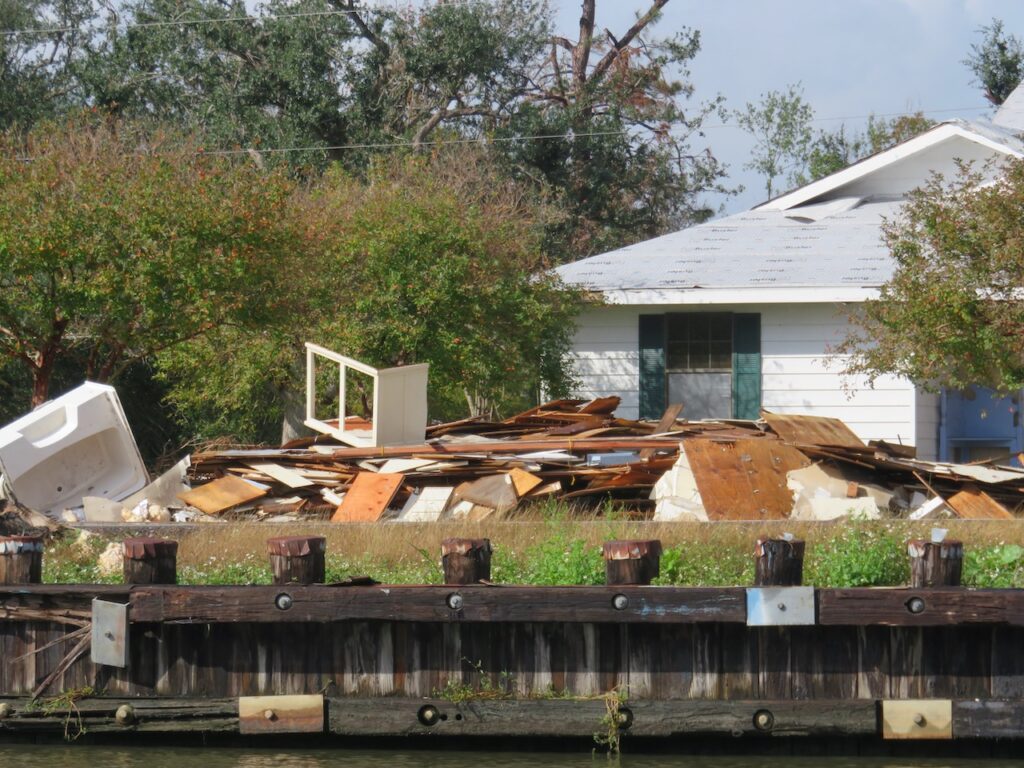
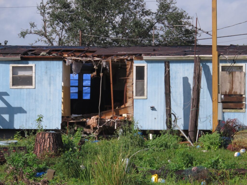
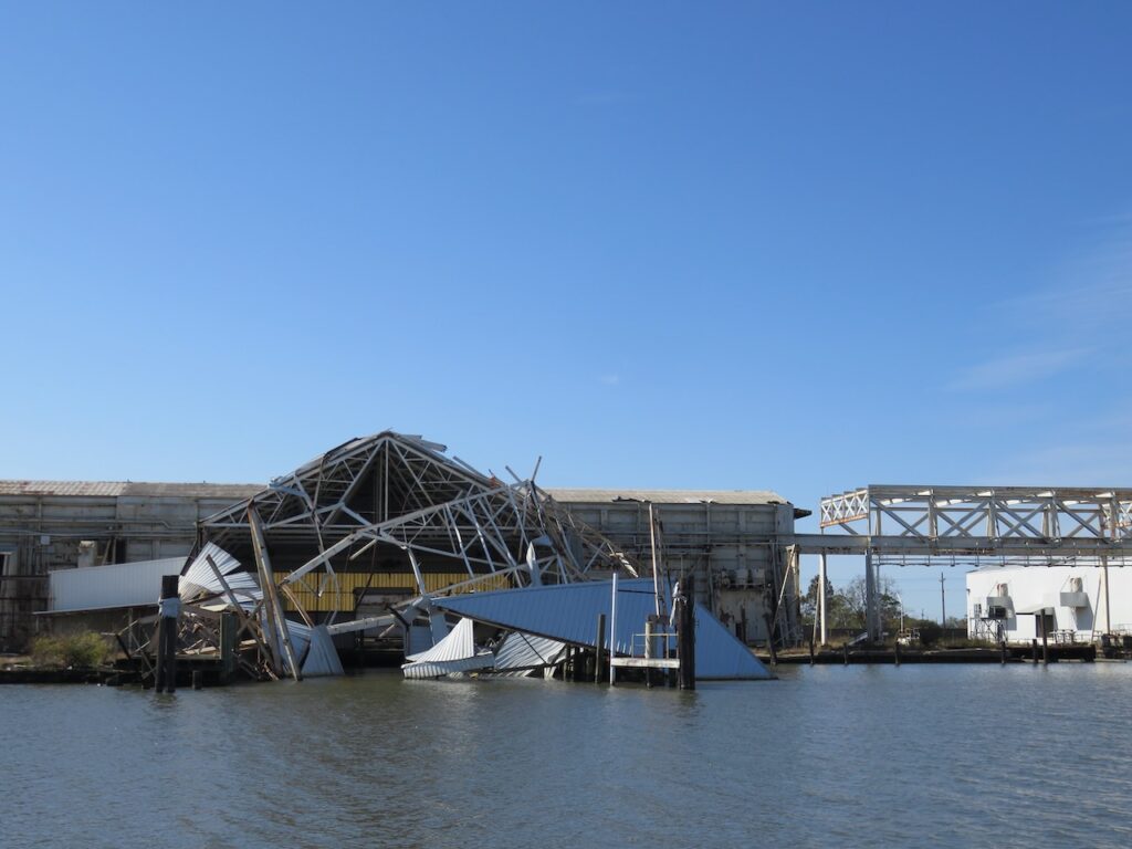
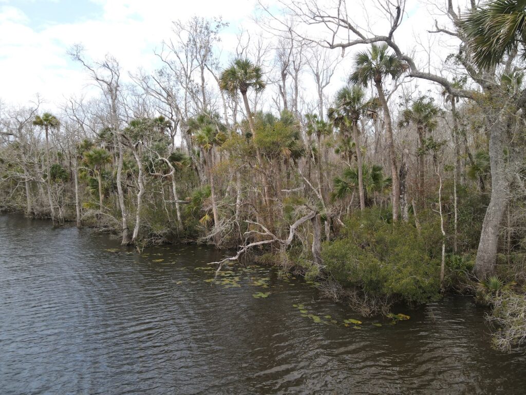
Scars from storms, recent and past, are everywhere in the bayous.


- NOLA
The Lower Mississippi was so worth it to arrive here!
The levees that protect New Orleans from the canals, the river and Lake Pontchartrain. Ummm??? 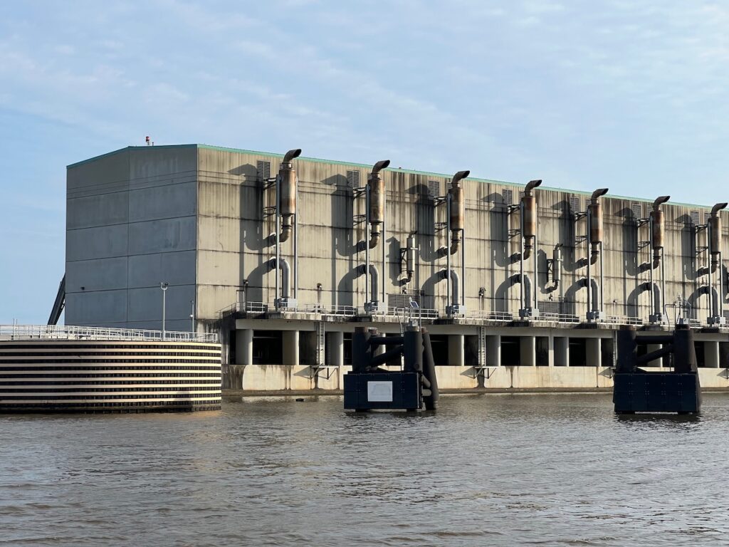
One of the many large pumping stations required because those levees are not that high! 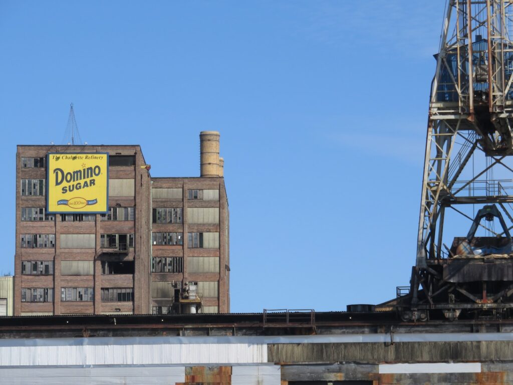
In addition to the Domino refinery, Folgers coffee has a huge processing plant on the industrial waterfront. The Folgers plant is MUCH more presentable…😬 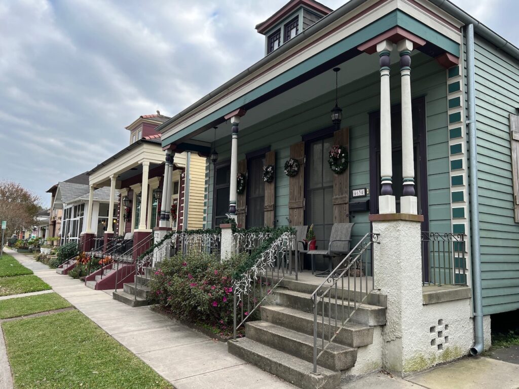
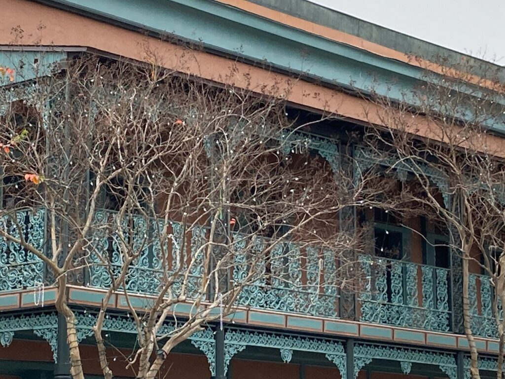
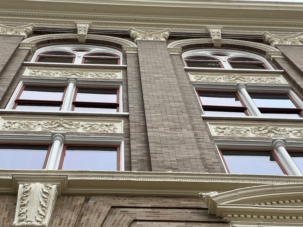
You have most likely seen the Garden Districts iconic facades but many of NOLA’s neighborhoods have interesting architecture in their own right. You gotta love a city with a sense of humor…
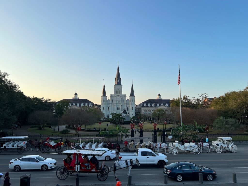
Jackson Square in the French Quarter. Bourbon St, the river front, street music and ice cream drinks – everything is easily accessible from here. The Christmas lights in City Park (Celebration in the Oaks), 2.25 miles and over 1 million lights!
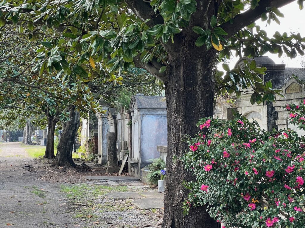
Humor and good food… No one (practically) is buried, everyone is interred in these beautiful cemeteries.
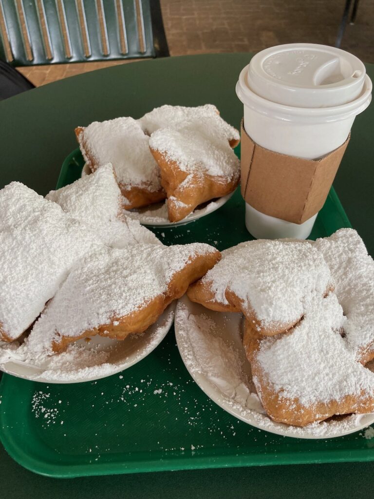
Yum, Beignets! Even if the sugar came from that Domino plant…😋😋😋 - Our Turn…
…to live vicariously through you. Thank you for sharing!
Frohe Weihnachten 🎄🎄🎄 and Merry Christmas 🎅🎅🎅
- The Mississippi Sound to Mobile
NOLA was supposed to be our last “tourist destination” before heading to Mobile for the mast stepping appointment. Well, turns out it was not; we forgot to inform the weather gods of our plans…
It started out with a benign anchorage at Cat Island, the first of many barrier islands we will visit on the Gulf Coast.
Day 2 should have brought us to Dauphine Island… instead, we wound up in…
… where we would spend 2 days exploring the neighborhood. And eating ice cream for dessert each night. Our marina was next to the Golden Nugget Casino and who knew that casinos had more goodies than just the slot machines (those were annoying; the ice cream was delicious)!🤣
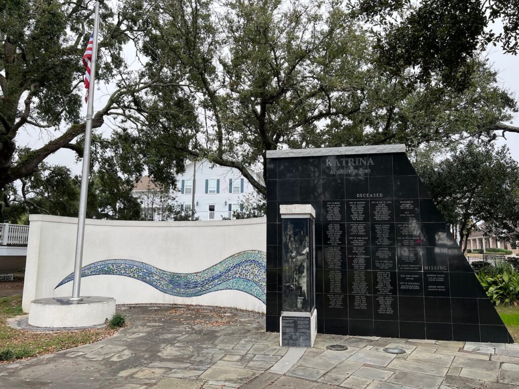
The Hurricane Katrina Memorial

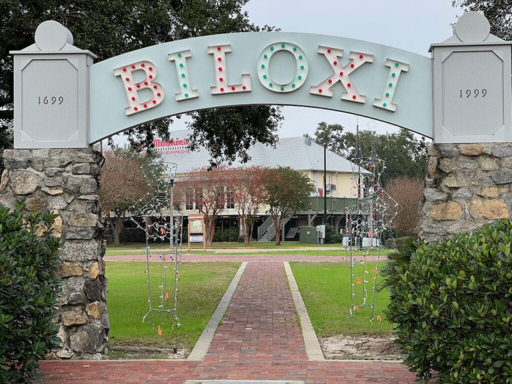
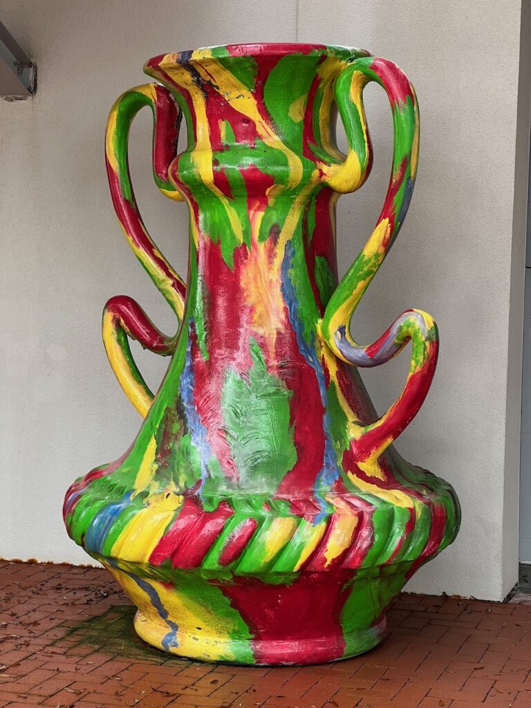
The Ohr-O’Keefe Museum of Art. Also a perfect picture of why we are in Biloxi…

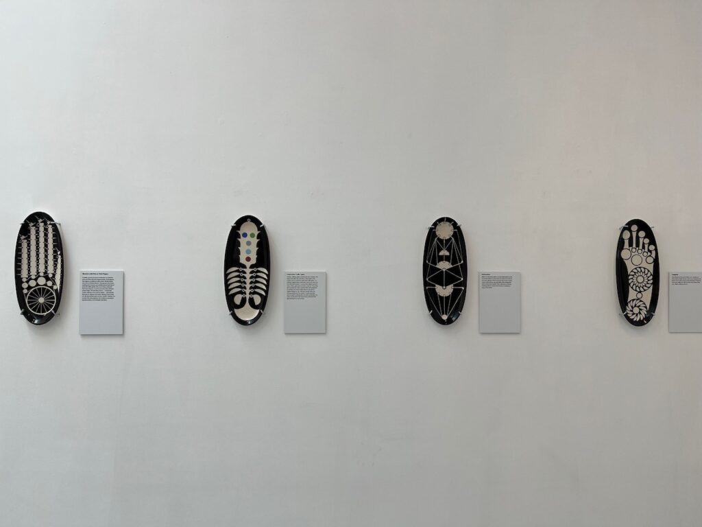
This is one of the current exhibits: a radio station which broadcasts the weather… as sounds. It was weird.
Hee Joo Yang’s ‘The Caves’
Bradley Sabin’s ‘Botanica”
Can’t credit the artist but I liked the colors and the scale…🙃

Carlos Estévez’ ‘Palimpsest/Rewritings
As we were running a day behind for the mast stepping, we decided to try and make at least half the distance to Mobile. Definitely NOT one of our better traveling days… every cracker on board was reduced to crumbs.
- Aurora’s Back in Town!
Mobile, AL was where we found our mast and once again went through the process of stepping it with the help of the crew at Turner Marine.

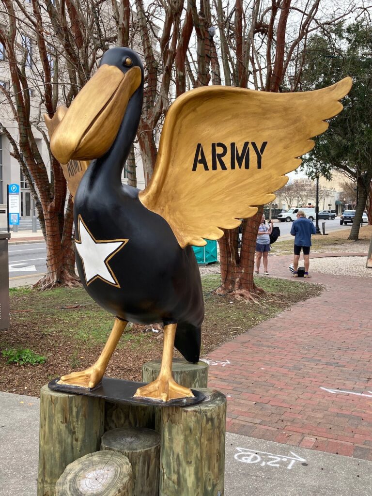
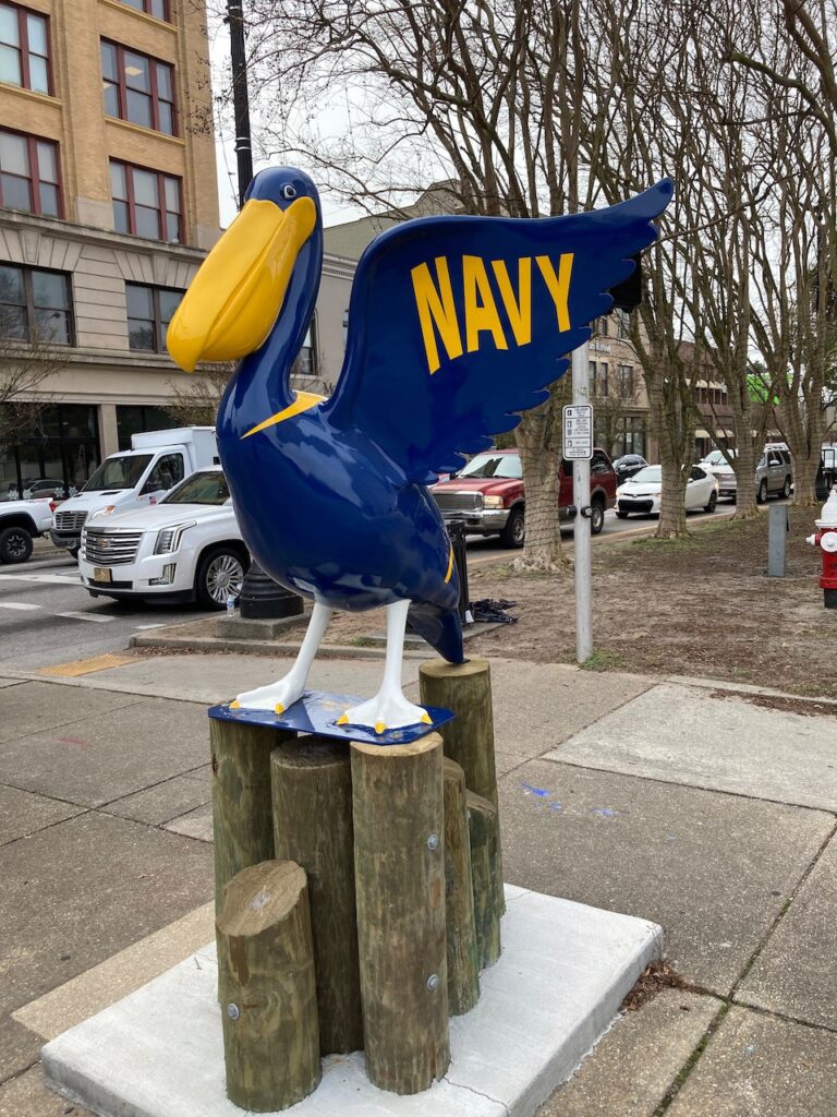
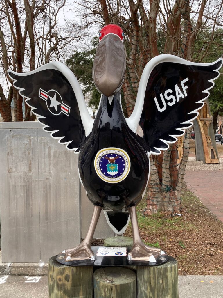
Mobile, AL from Mobile Bay. The city is a serious working port for shipping, fishing and the oil industry. 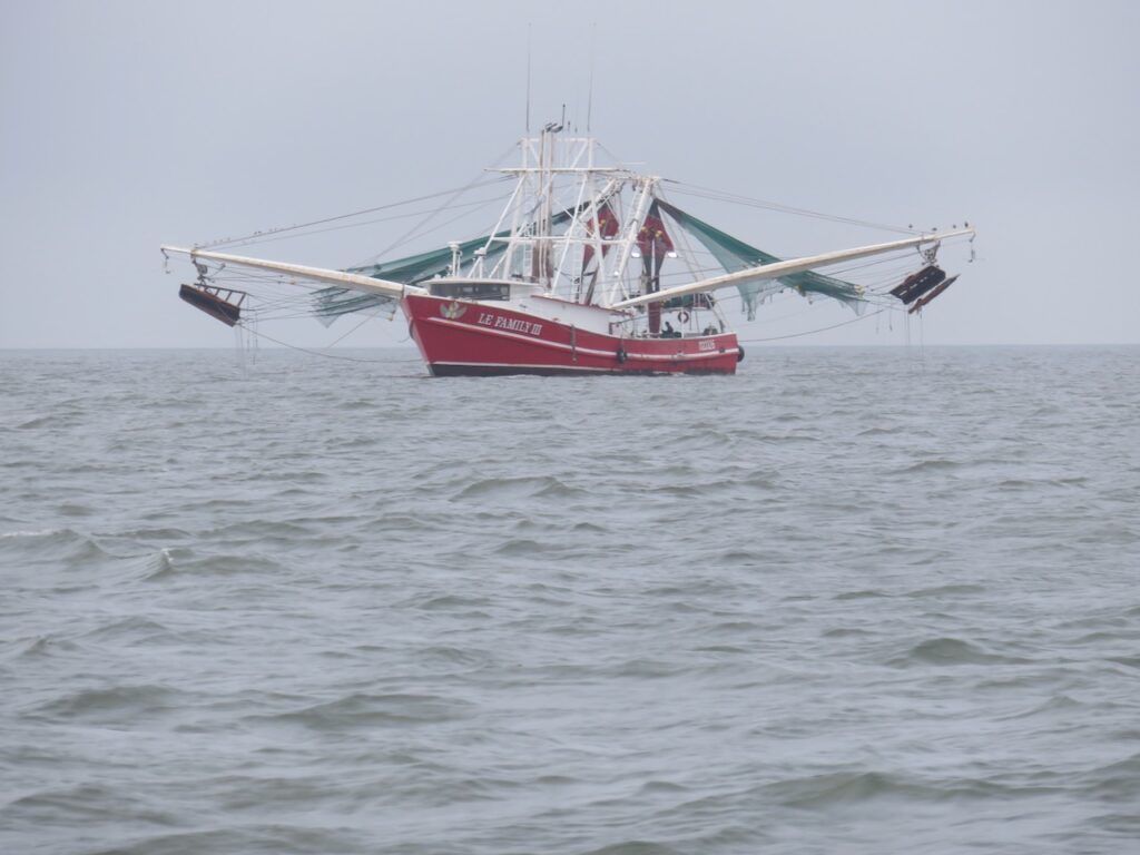
A commercial shrimper… grace on the water. 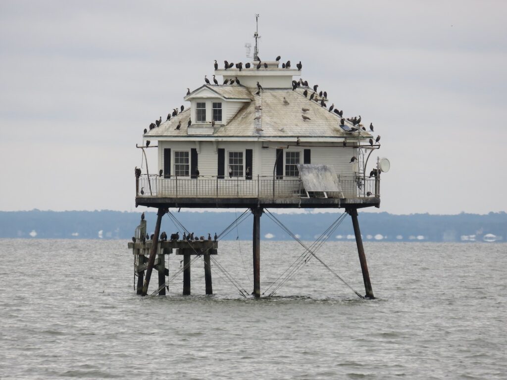
The Mobile Bay lighthouse, decidedly LESS graceful. 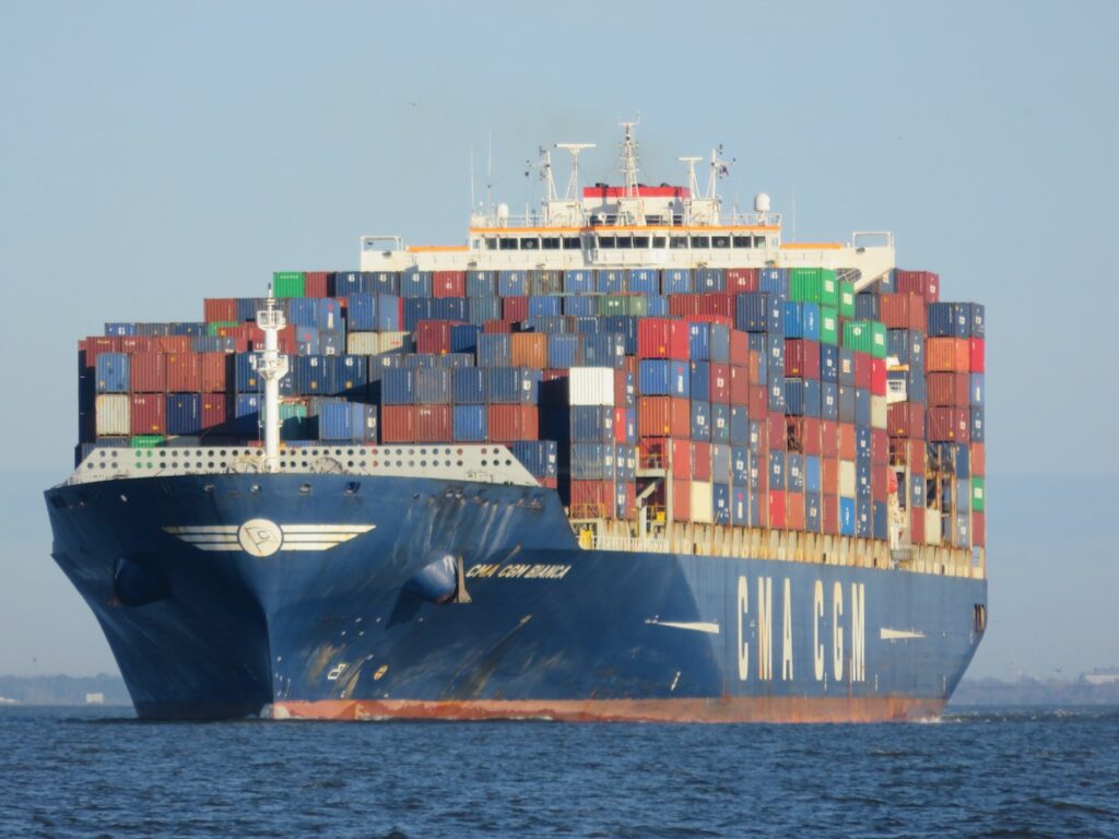
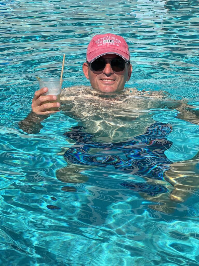
Grace is not the word to describe how he moves but I also don’t want to fool with him… Mast Stepping
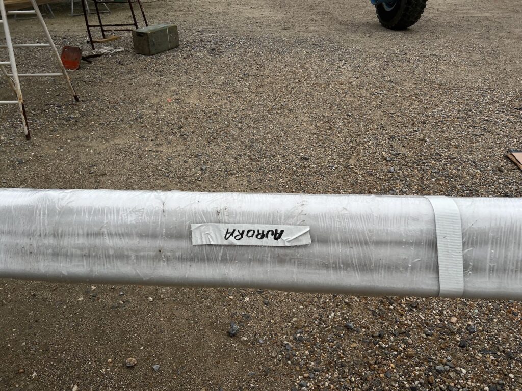
1. Find your mast and stays 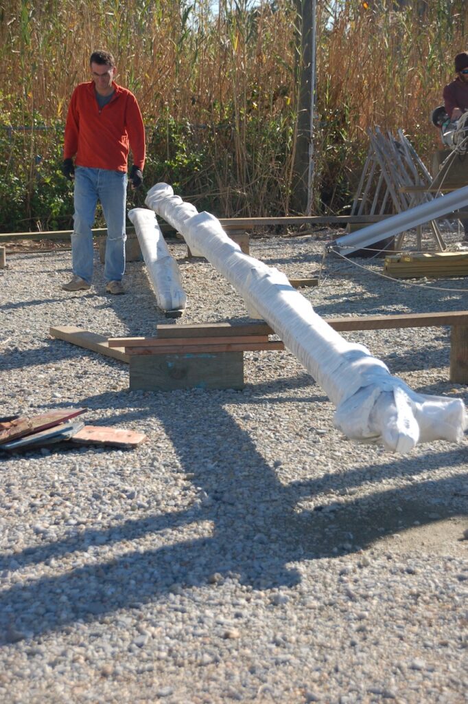
2. Figure out how this puzzle will go back together. 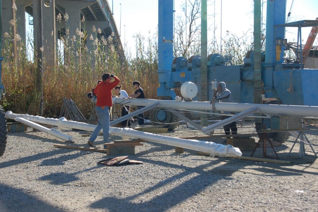
3. Call in the experts. 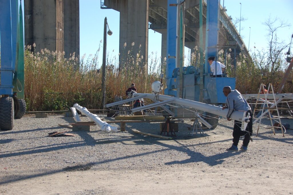
4. Load the mast onto the crane. (Please note the black tie attire of the crane operator – 1st class service) 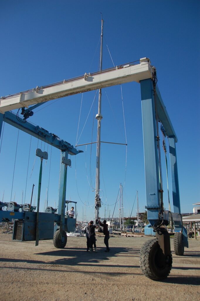
5. Move the mast, ever so carefully, to the boat with the crane. 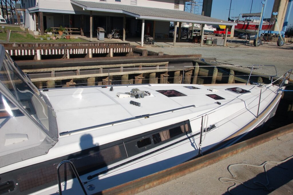
6. Find the naked boat. 
7. Attach stays, lines and, eventually, add sails. 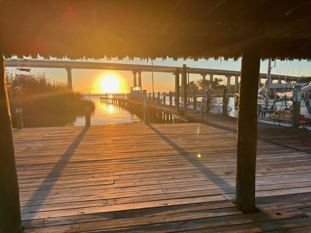
8. Relax after two long 10 hour plus days… - The Holidaze
We have had Christmas with no snow in Boston, certainly, but Christmas without the piney smell of the tree, big meals with friends & family and presents was, well, strange. Not to say that we suffered; we were in a spectacular anchorage for Christmas and shared a delicious fresh fish dinner with our boat neighbors for New Year’s Eve. We even managed to stay up ’till 2022. Here’s hoping that 2022 is everyone’s best year EVER and we see you all soon.🥂
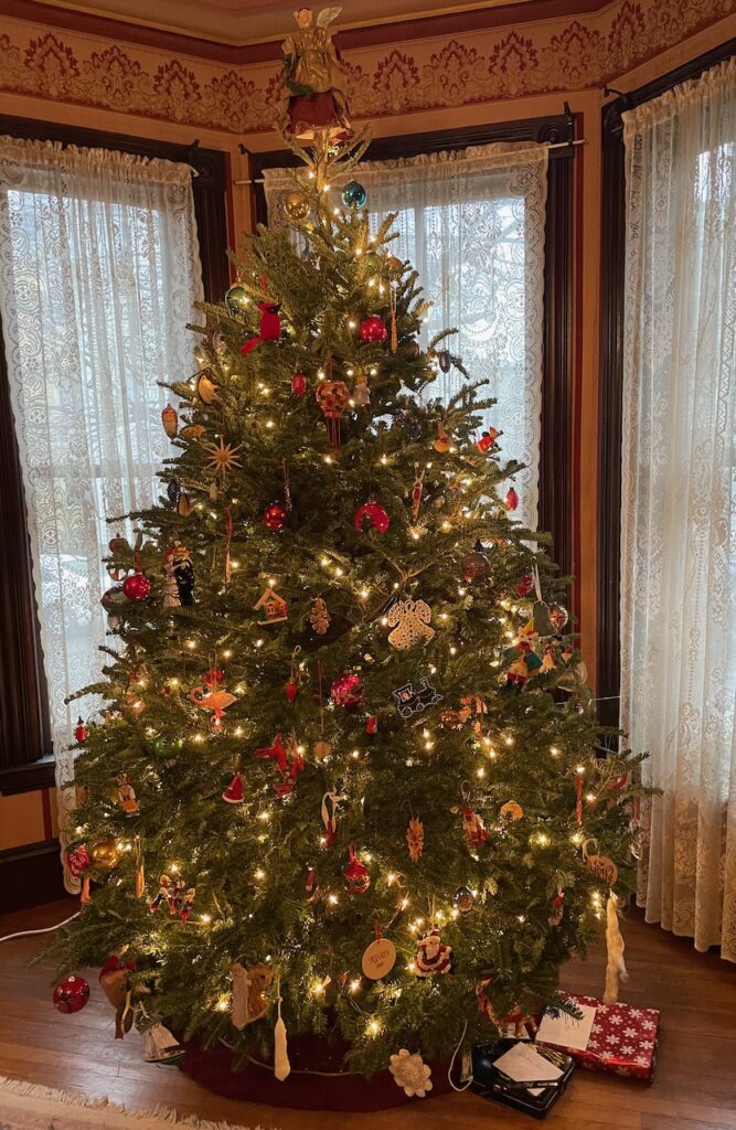
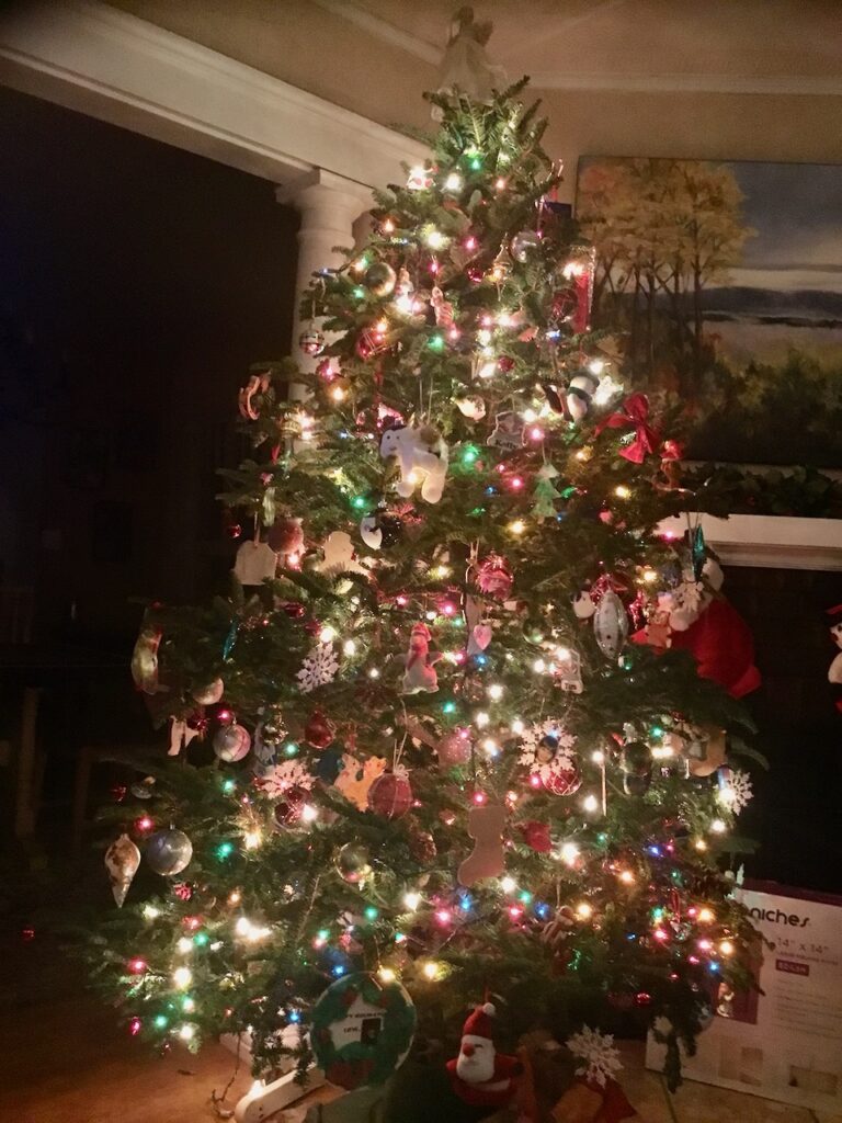
Our Christmas tree from the Ohr-O’Keefe Museum! Christmas Day was beautiful – warm, sunny, the slightest of breezes. We took the dinghy to Gulf State Park and rode our bikes for hours along the lake, through the forest to the pier and beach.

We must have been good this year because we got the best presents after our Christmas dinner…
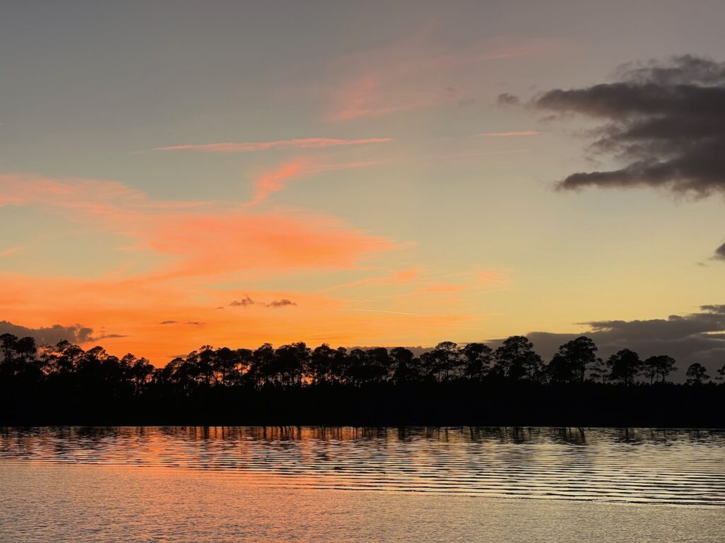
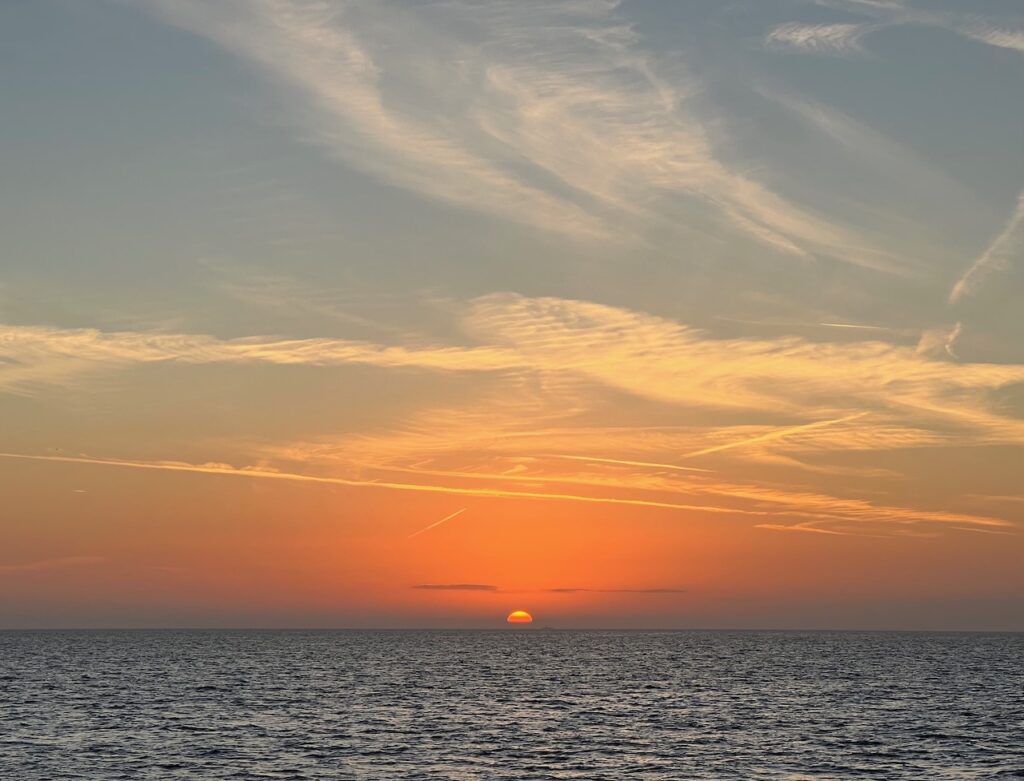
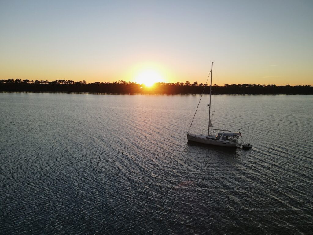
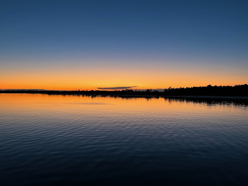
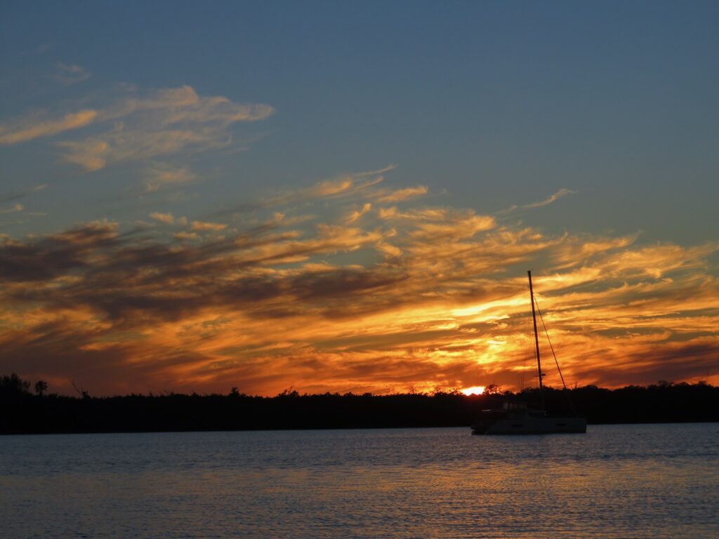
We left Wolf Bay on the 26th and set anchor behind our second barrier island – Santa Rosa. White sand so soft and water so clear you could imagine you were in the Bahamas… And all that sky provided for another amazing Gulf sunset…


We moved into a Pensacola marina for the New Year. The weather was deteriorating and we needed to do real life stuff like grocery shopping, laundry…
Erie Ernie came south for the winter! 
- The Last Sights of Land
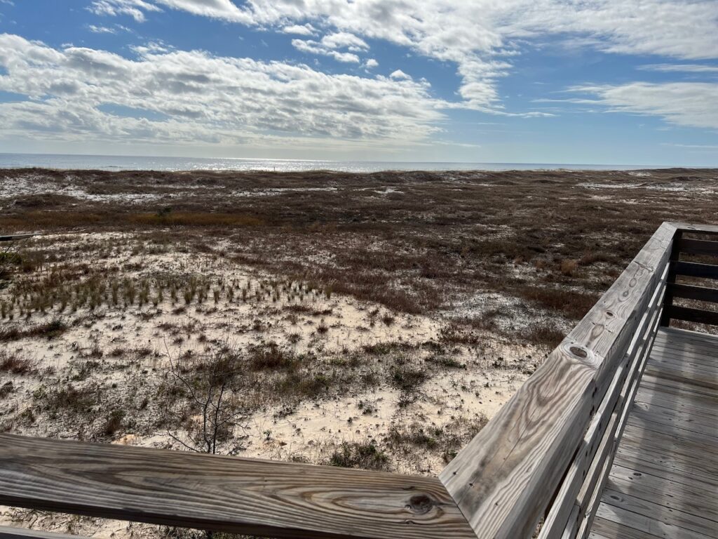
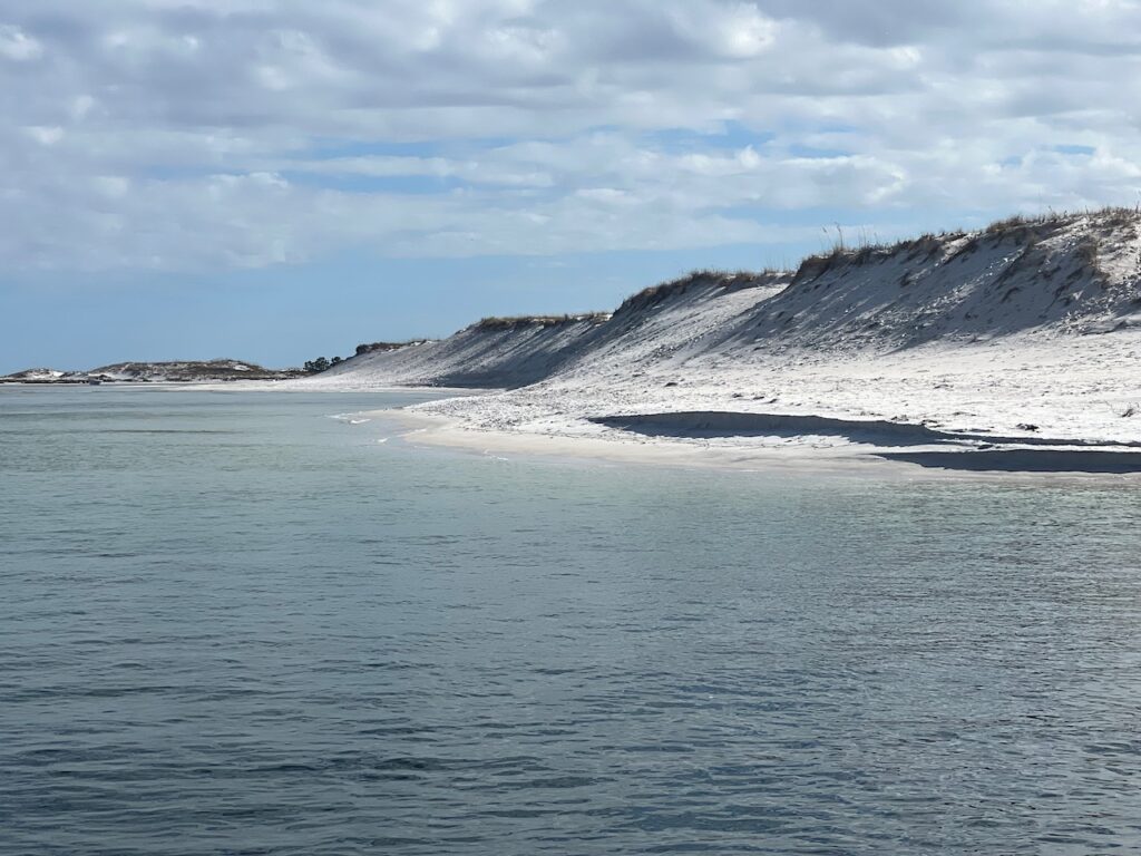
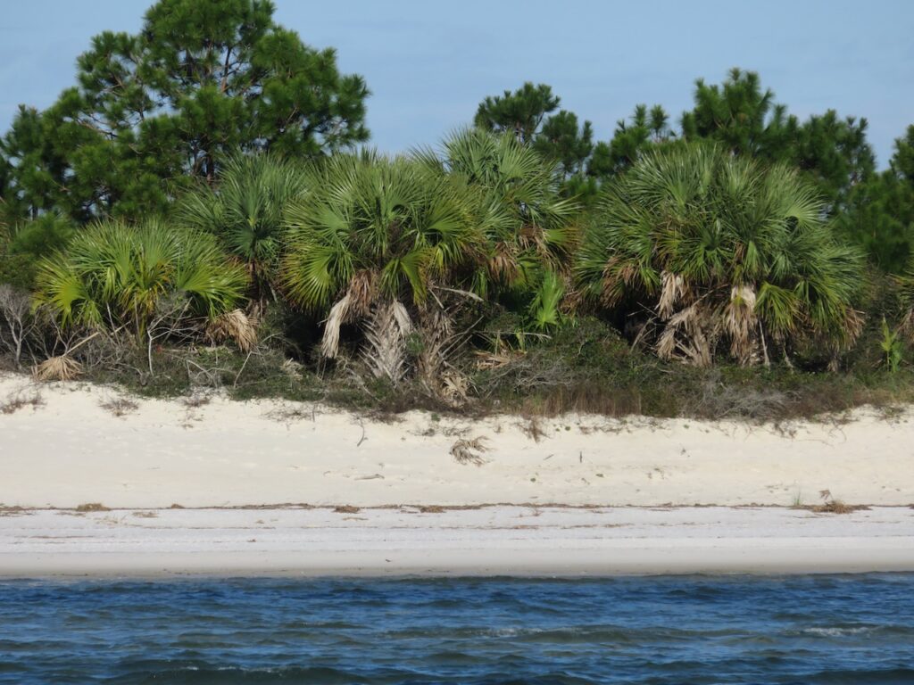
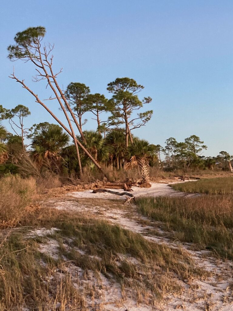
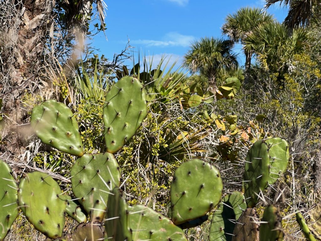
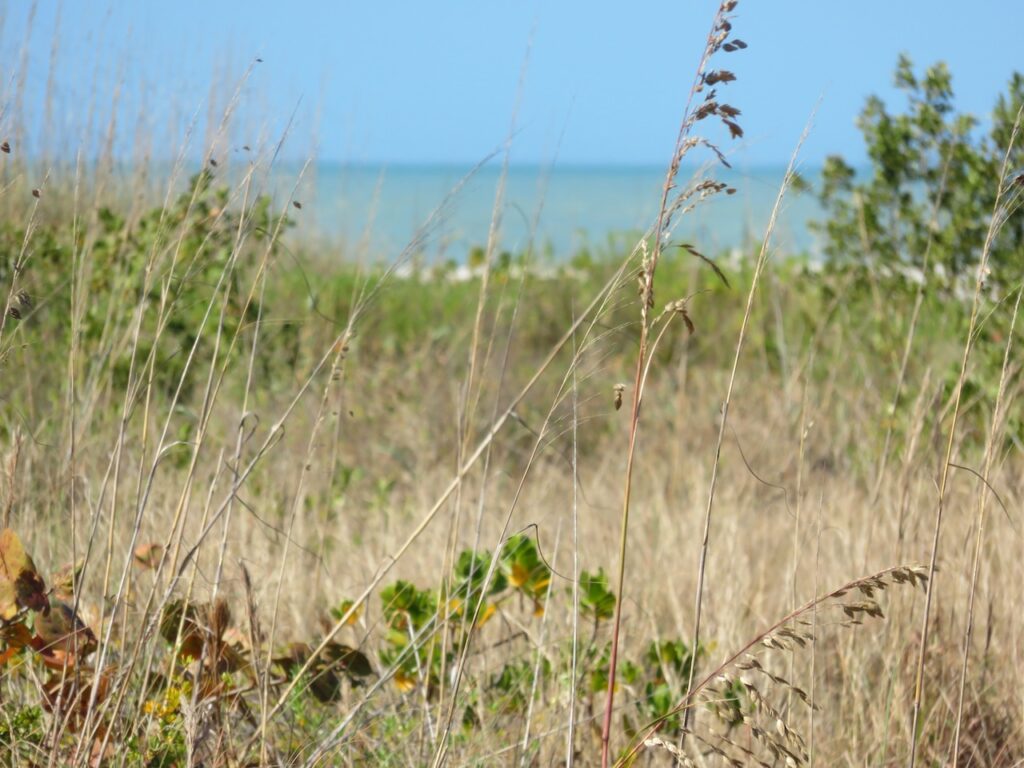
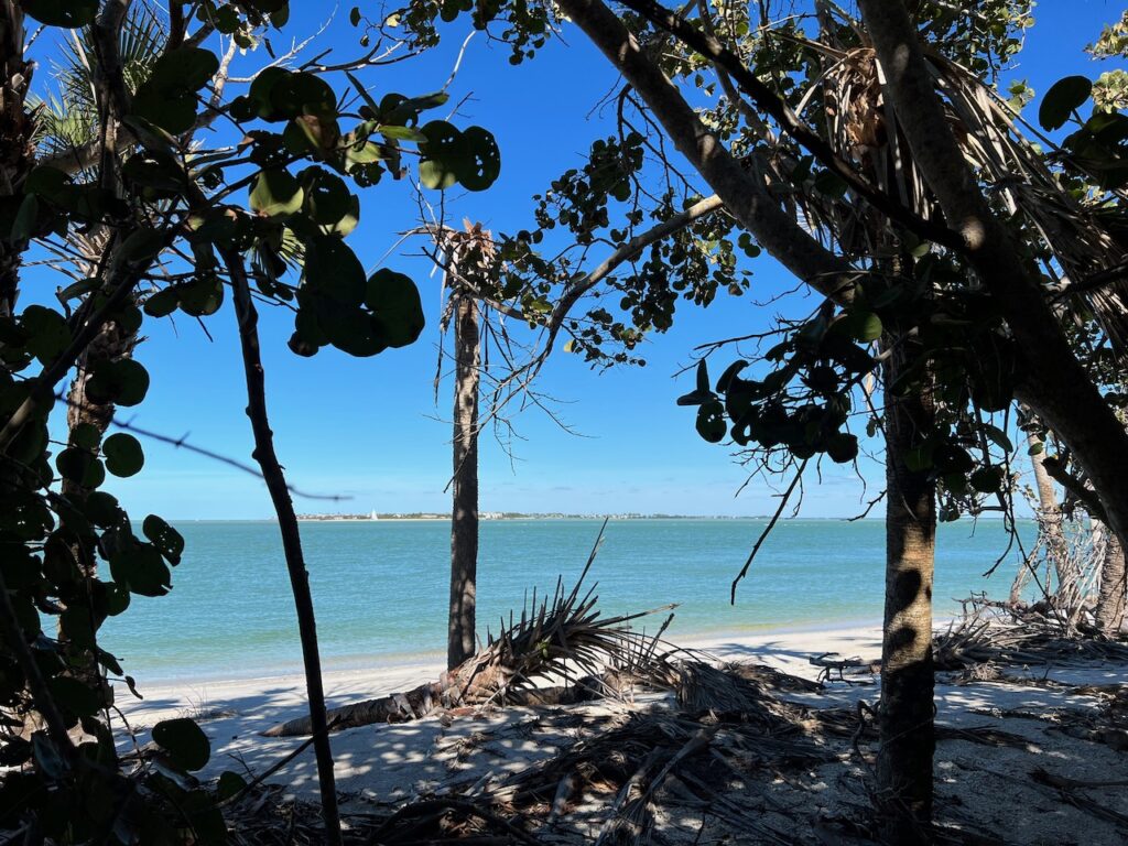
We made the BIG jump from Carabelle to Tarpon Springs on Thursday this past week; 26 straight hours of travel, 23 of it without sight of land (not simply because it was dark, either 🤣). Before that journey, though, we stocked up on “land” by anchoring out 8 days in a row along Florida’s “Forgotten Coast”. The Chamber of Commerce bestowed this nickname as this section of coast did not enjoy (hmmm?) the development which has occurred along the east and west coasts of the state. It was swampy, wild and easy to imagine this is what all of Florida looked like in the past.
So glad they forgot…


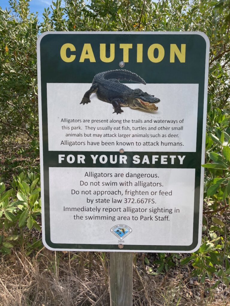
- Searching for Alligators Because We Don’t Need to Look for Adventure!
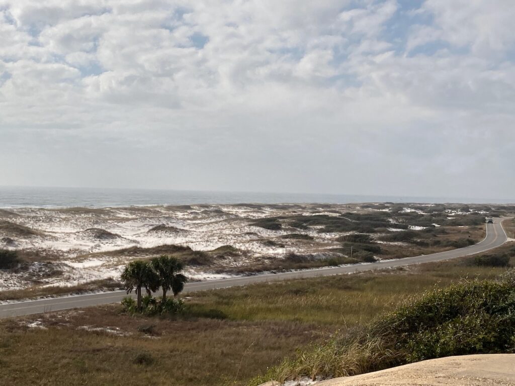
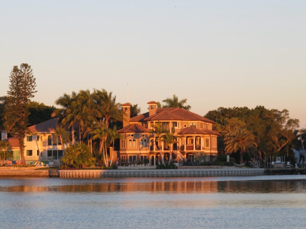
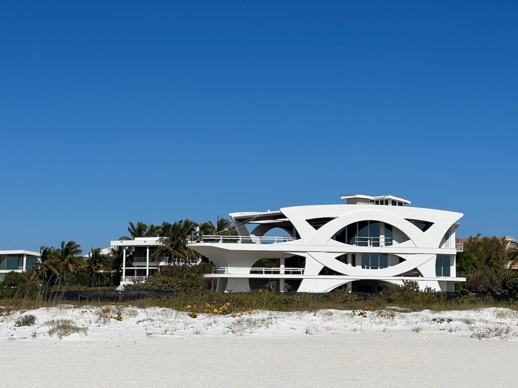
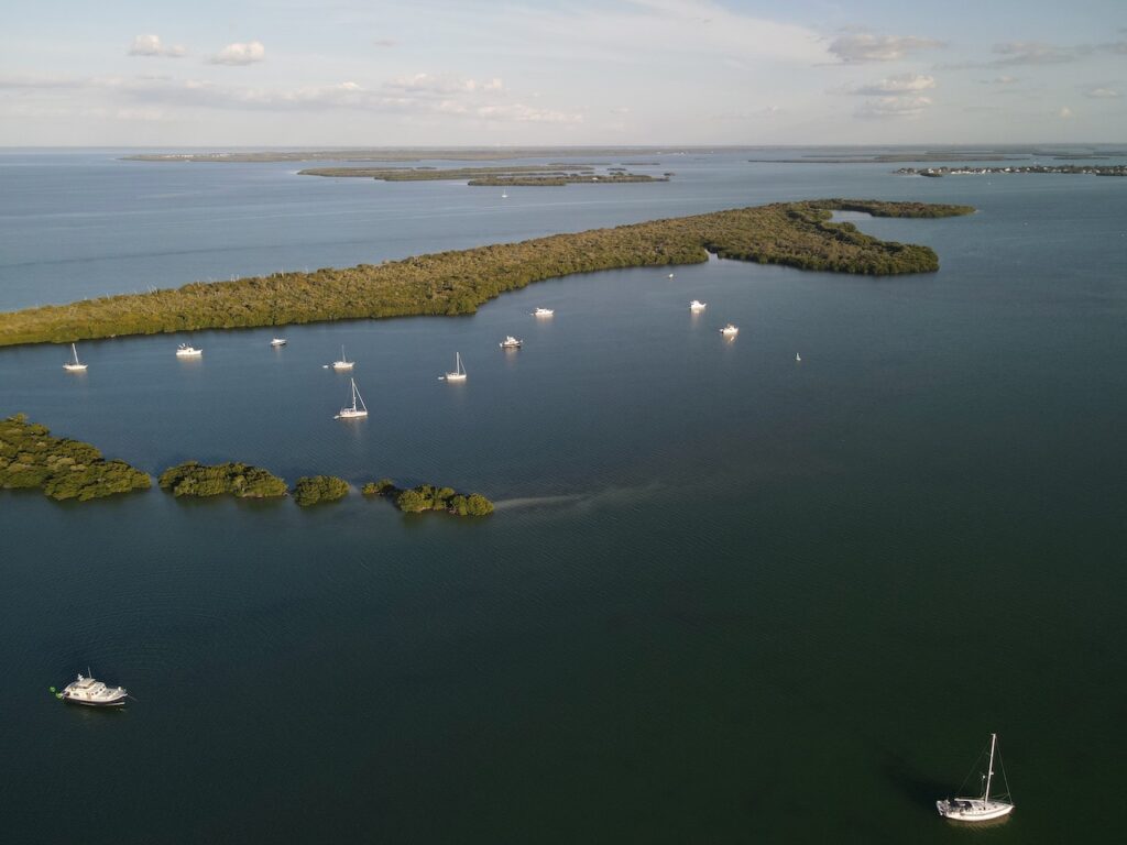
I will start by apologizing for the length of time between posts this year but it seems each week brings a new adventure… this even as we are on this great adventure! The journey down the GICW (Gulf Intercostal Waterway) from Tarpon Springs to Pine Island Sound was a tour of Florida’s palatial waterfront estates and the sky high condos everyone else lives in. Once we arrived in Pine Island Sound, the pristine barrier islands and nature preserves took over.
Standard for this story, right? The adventure part is all that happened along the way… a visit to Boston for some baby tourism (good adventure), no engine cooling water in Longboat Key (bad adventure), an imploded impeller in Sarasota Bay (bad adventure) and, in the words of our friend Dave, a shocking experience (bad adventure) returning from a leisure afternoon sail and picnic lunch with guests on board (good adventure). There will be more to this story but for now, let’s just enjoy the scenery…
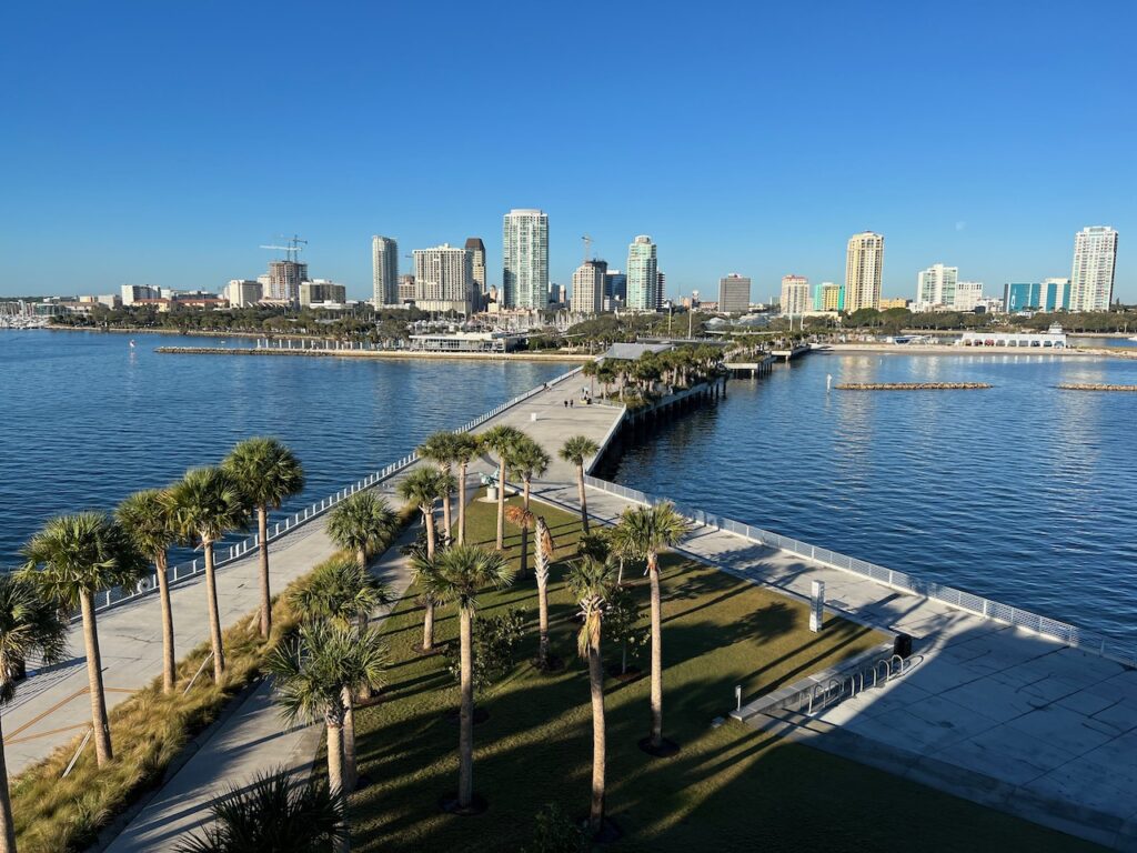
The waterfront in St Petersburg 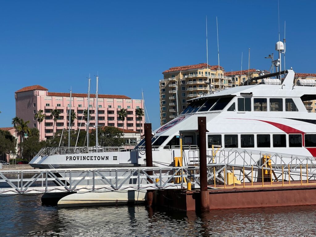
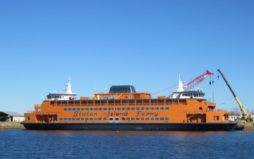
Look where the Provincetown ferry spends the winter! 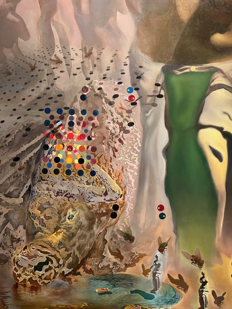
St Petersburg hosts the Dali Museum. Spectacular! 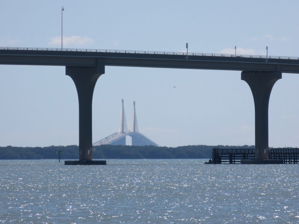
A snapshot of the Skyway Bridge over Tampa Bay 
Bradenton or Clearwater… hard to tell the FL west coast towns apart from the water. 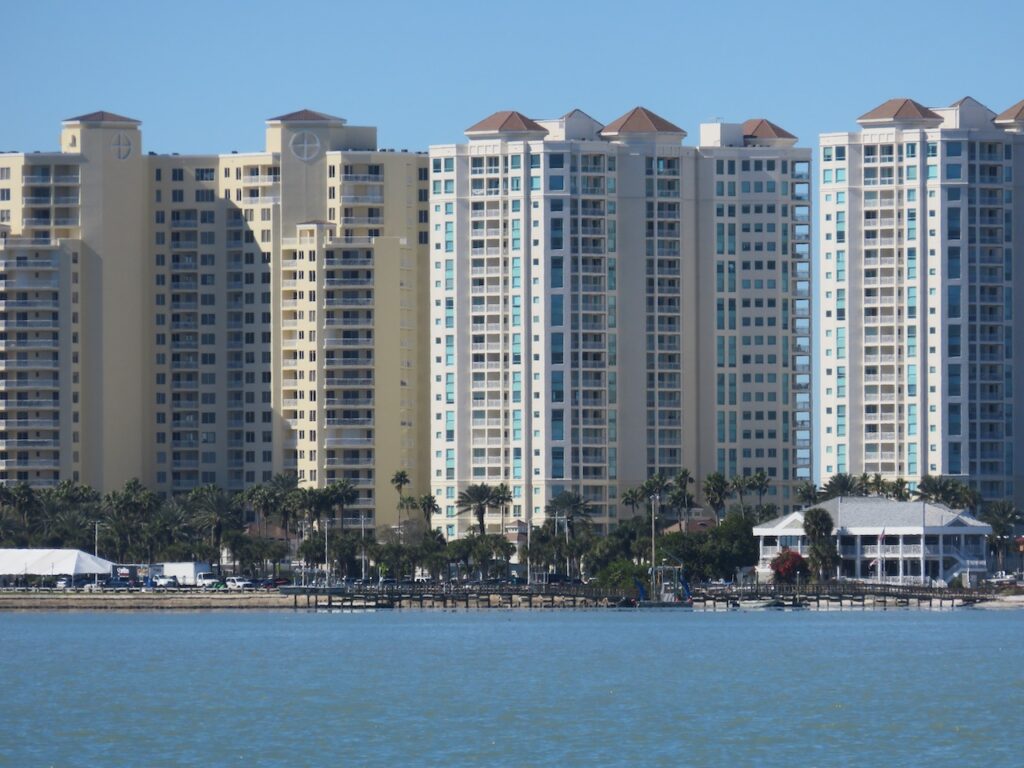
Everyone wants to live here. 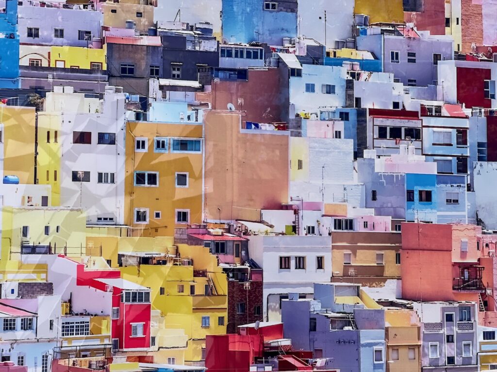
Art imitating life… 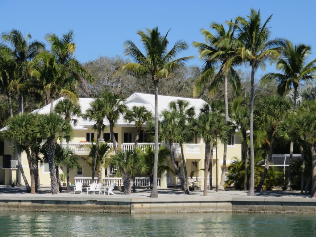
The closer we got to Pine Island Sound, the closer housing got to the ground.😜 Cayo Costa and Pelican Bay

Pelican Bay is a perfect anchorage, protected in almost all winds and provides easy access to Cayo Costa State Park. The state park has small cabins & tent sites, beautiful trails, great shelling beaches and 🍦!


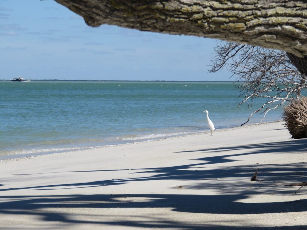
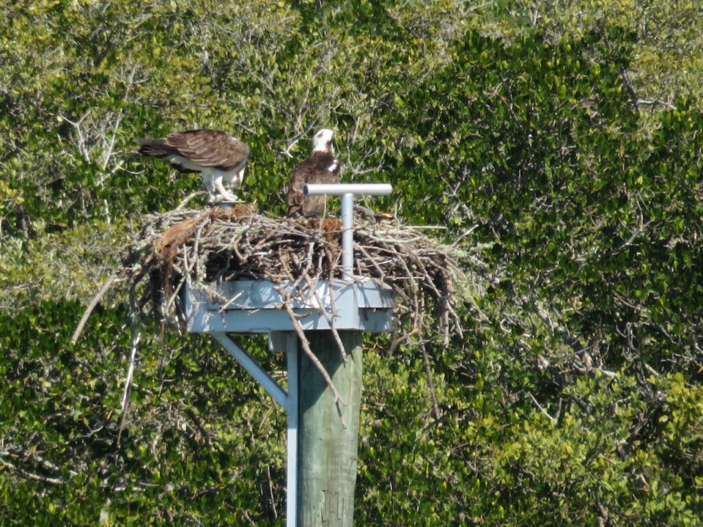

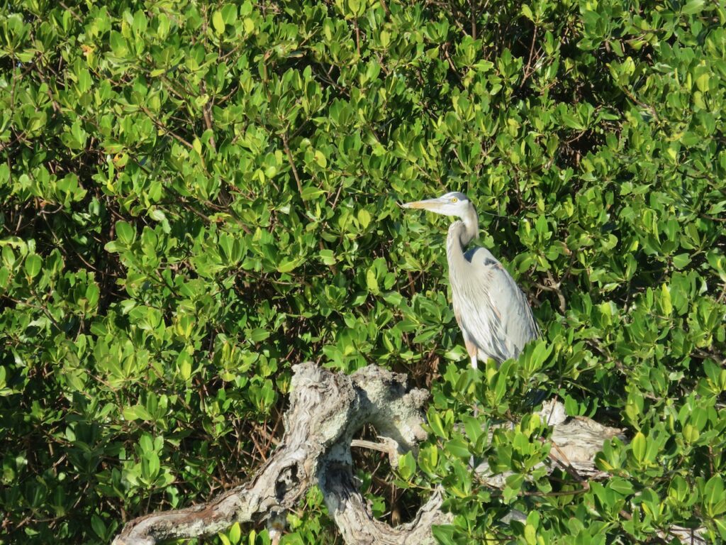
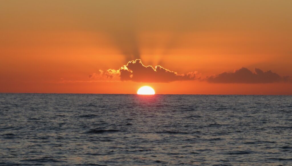
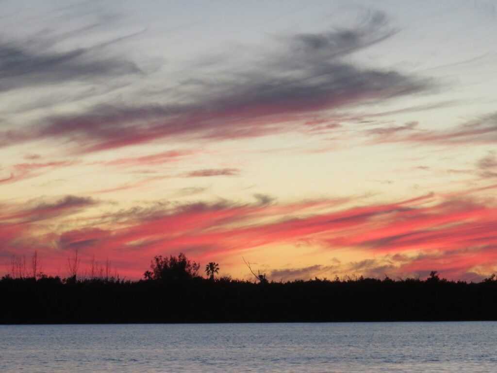
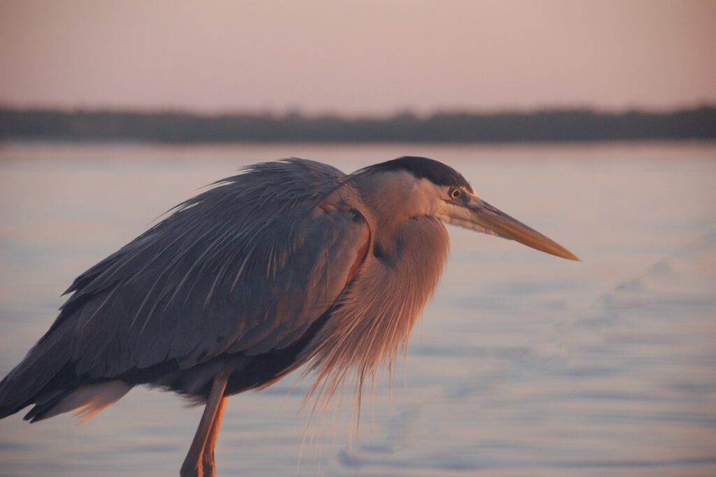
Oh, yes, and wildlife and stunning sun rises and sets!
And warm weather. - A Grim Fairy Tale
Distance is a wonderful thing: making distance on a journey like this one means you accomplish something simply by moving from one place to another, distance from an event provides the ability to tell it as a story with a beginning and an end. This is the story of our “shocking experience”…

On Saturday, February 5th, we ran into the power line which stretches across Pine Island Sound between Sanibel and Pine Islands. We had gone out for an afternoon sail to Chino Island (track 1), had lunch and were on our way back to Pine Island (track 2) when we hit the line (*3). 


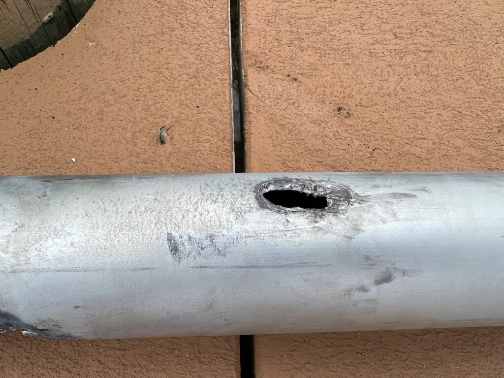
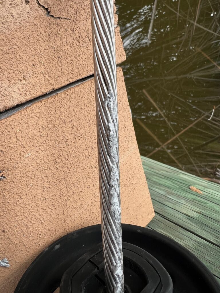
These are a couple of pictures of what a 39 kV strike can do to solid metal… how it magically melts and fuses metal. Most people helping us afterwards likened this to a lightening strike. The working theory is that we hit the power line with the top of the forestay, the current traveled down the furling extrusion, jumped to the anchor and from there into the water.
The damage was extensive: we damaged the forestay (the metal wire which holds up the mast in the front) and the genoa furler (the device that holds the large front sail) beyond repair, blew out all of the marine electronics and the marine network (chart plotter, radio, depth gauge, wind gauge, auto pilot, radar), multiple fuse panels, the propane safety switch, the shore power galvanic isolator and the control board for the diesel heater.
This litany of destruction does not, though, outweigh the gratitude we feel for how VERY lucky we were: there were six passengers on board that day and no one was hurt, the boat did not catch fire and we did not sustain any hull damage which could have resulted in a sinking. It is a strange but true statement to say that we are REALLY glad it was only these “things”…
Additional causalities of the event were the disrupted vacation plans of two sets of guests: Dave & Wendy didn’t get to sail after the 5th and Tom & Heike spent the first of their two weeks on land. (Another thing we are extremely thankful for – Peg & Den who were so kind as to let us stay in their condo when we could not stay on the boat).
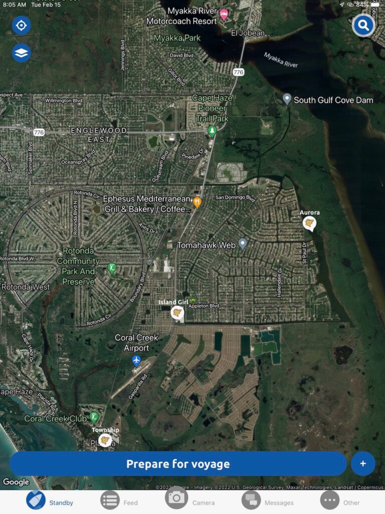
Complicating the situation, the ability to get replacement parts and contractors to do the work was challenging. The original marina we contacted to have the boat pulled for the safety and insurance inspection said the earliest we could come was two weeks away. And that was not even to begin repairs! We finally found a yard, accessible only at high tide, through a tiny, manual lock, buried deep in the suburbs of Port Charlotte. This is a shot of Aurora on her first arduous journey to Safe Cove (highlighted by Island Girl’s location). Christian spent a long week lining up inspections, ordering parts, hiring contractors for the few things he was not going to tackle himself, and dealing with the insurance company. Parts were mostly 10 days out so we left Safe Cove to try and salvage what we could of Tom & Heike’s vacation. We would return on the 25th for the start of the REAL work.
Looping in Pine Island Sound
One of a number of early morning visitors on the dock at Ft Myers Beach. 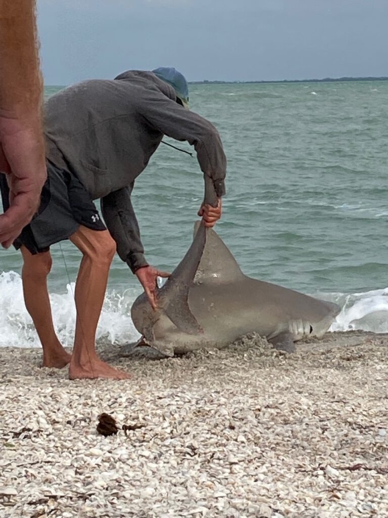
We wondered why this fisherman was working so hard to bring in his catch… and then decided we didn’t want to go swimming at Gasparilla any more. 
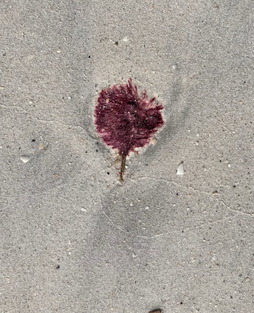
The shoals on the south end of Cayo Costa. 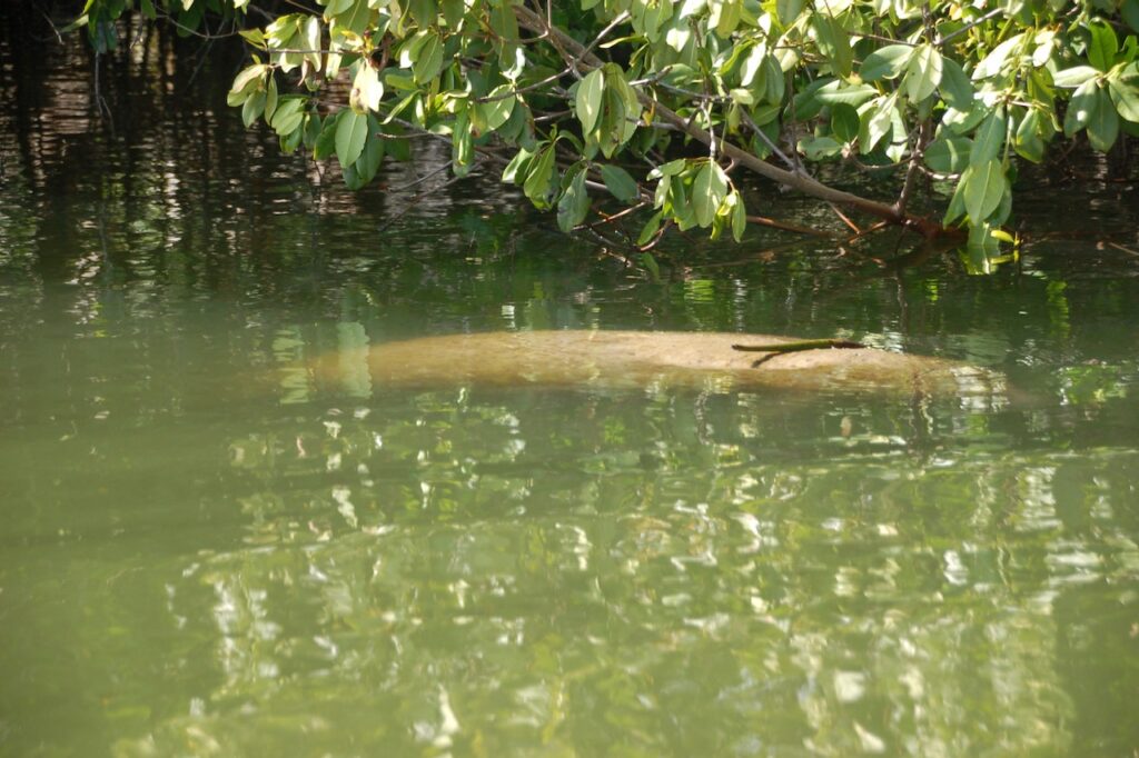
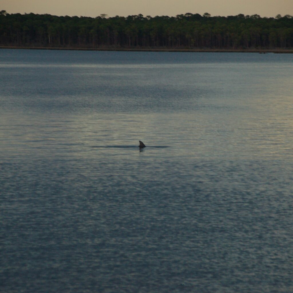
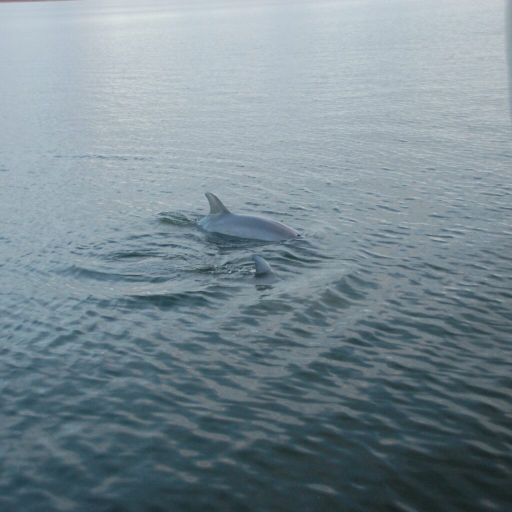
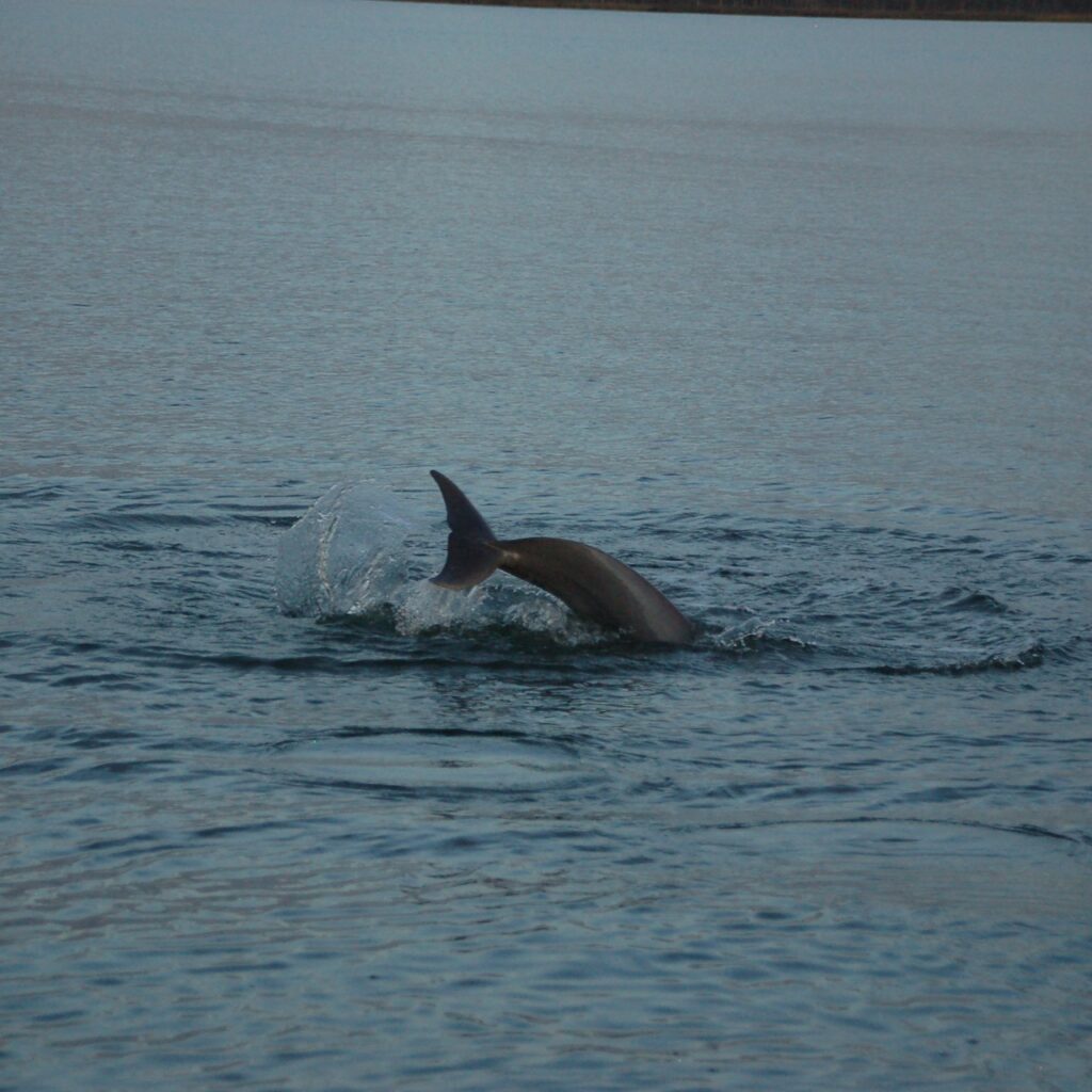
Manatees are camera shy so this is as good as it gets in pictures. 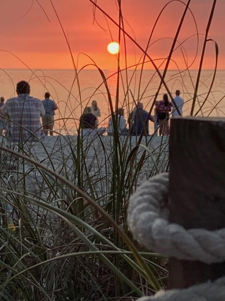
The perpetual human ritual of drinking to the sunset and hoping for a green flash on Captiva. 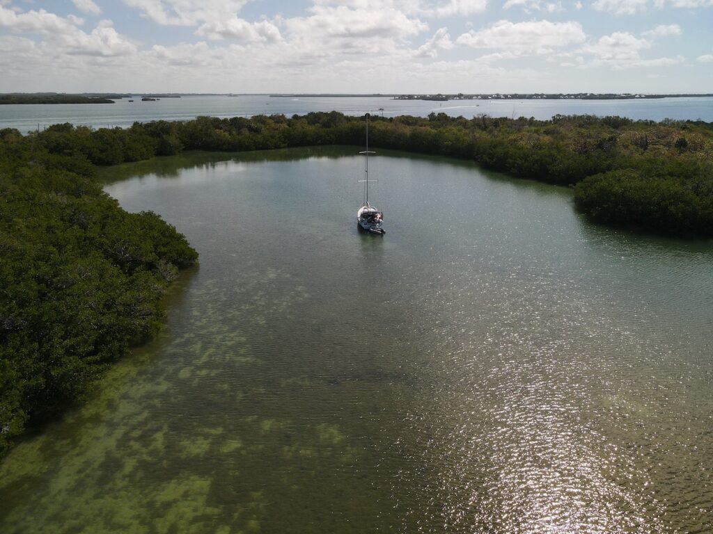
The anchorage at Punta Blanca
The man with the rosy-colored glasses who never gives in to despair. I so admire that in him… 
Bounty from the Farmer’s Market on Captiva. 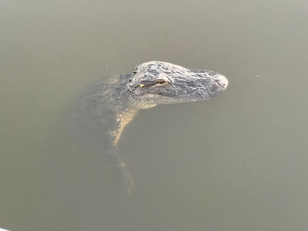
The best ending to Tom & Heike’s vacation; we had been searching everywhere we went for alligators and saw none. The morning they were leaving, this guy is just laying in the water off our starboard stern, waiting to have his picture taken. 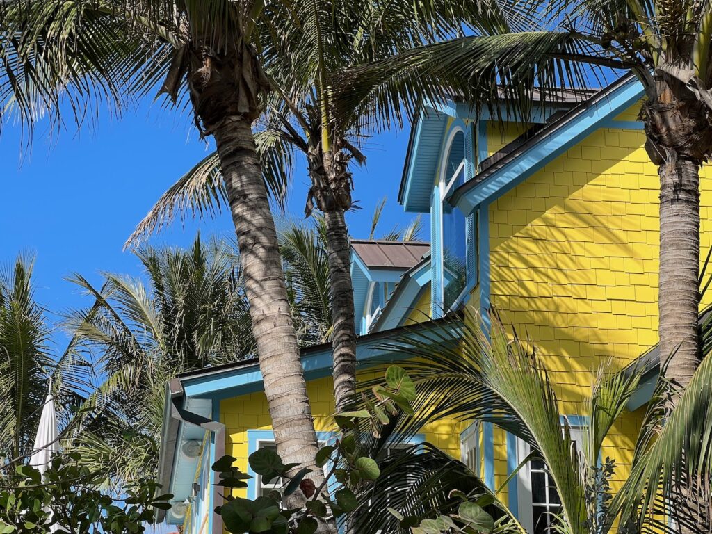
🇺🇦 This is all such a first world problem in the big picture… Back to Work
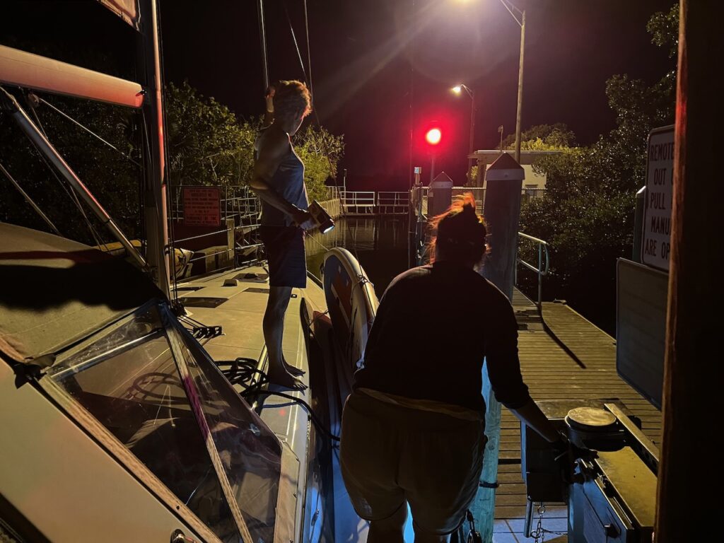
Transiting the lock at high tide, with the mosquitos, on our way back to Safe Cove. Why is high tide ALWAYS in the middle of the night??? 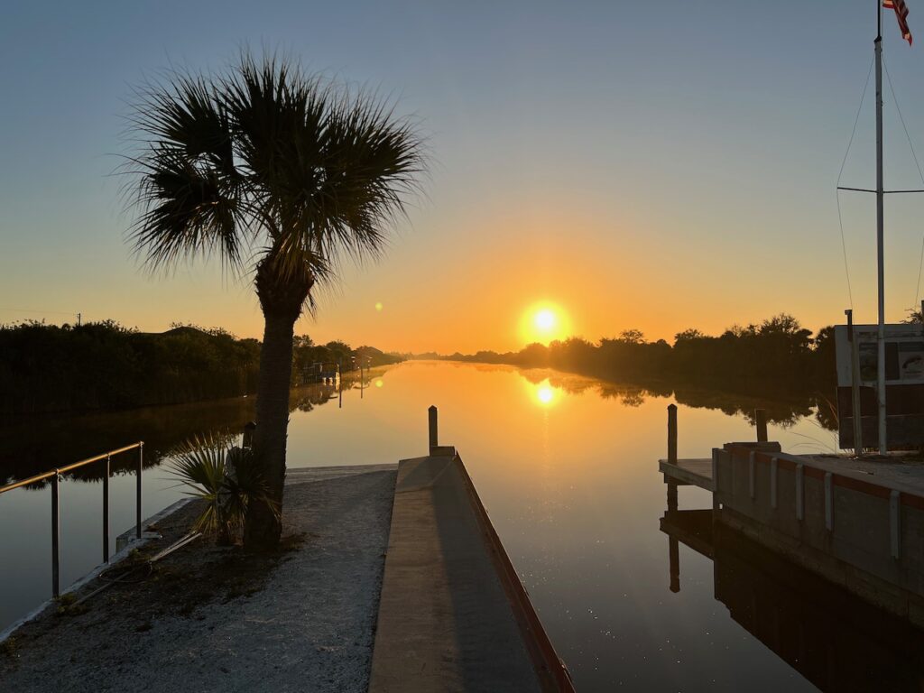
While not a marina, Safe Cove is now one of my favorite places on the Loop. Aurora was rescued here… 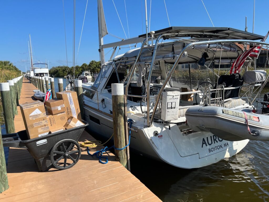
The cart is filled with all of the stuff that Christian needed to re-install. He worked 10+ hour days for a solid week to get everything replaced and operational. 
We went back into the water, whole again, on Thursday March 3rd. I cannot convey how amazing that timeframe is, how quickly we recovered… 
A beautiful sight… on our way to Marco Island, where we are now. 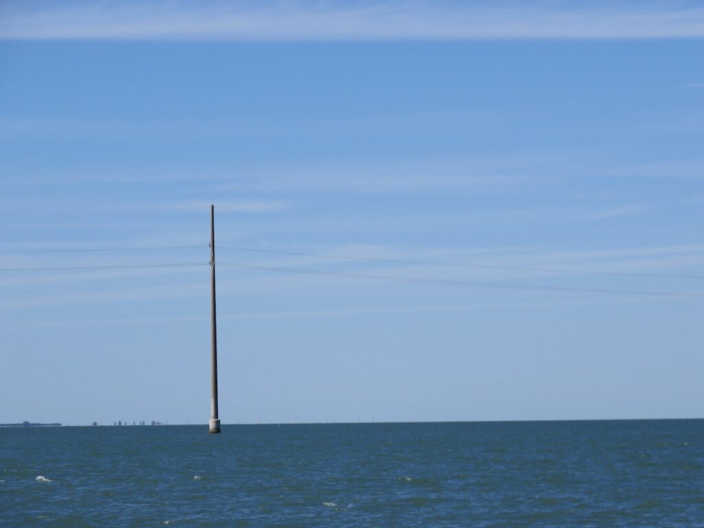
- Epilogue
A happy ending to our story will be that no one else has to make the mistake we did. On Monday this week, we received word that NOAA (National Oceanic and Atmospheric Administration), the data source for the navigational charts boaters use in this section of the country, has agreed to correct the power line charted height. They will mark only the section over the GICW channel and remove the 95ft marking on all other sections.
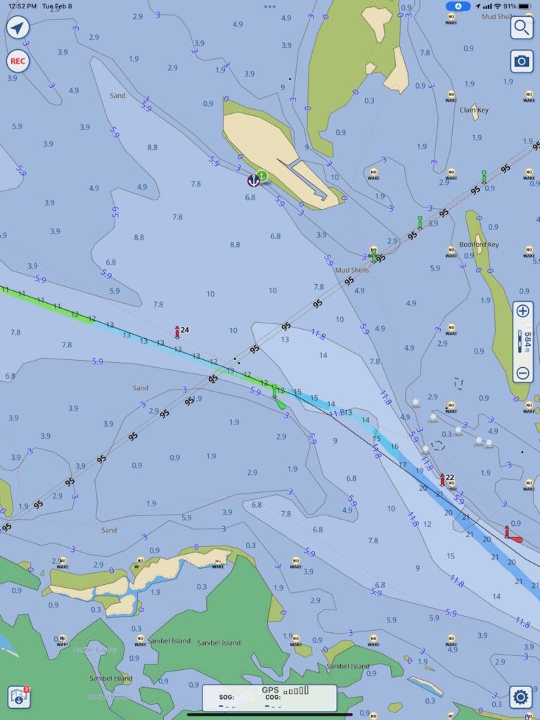
The chart as it currently stands; the green and aqua blue line with the small red channel markers identify the GICW channel (IWW referenced below). 
After numerous emails, and with some persistence, confirmation that the chart data will be updated. - Variations On A Theme
The theme, and only unifying factor, being Florida’s south west coast – we went from one extreme, Marco Island, to the other, Everglades National Park.
Marco Island
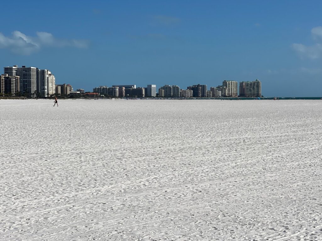
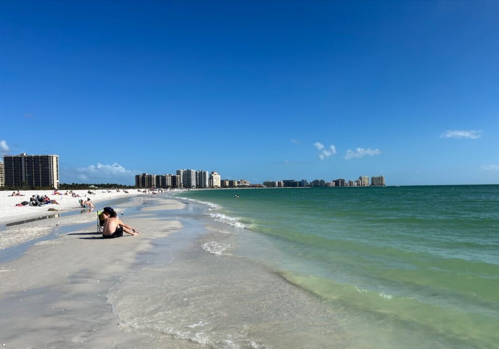
What could I possibly show you that sets Marco Island apart from so many of the other Florida Gulf Coast cities? Most sport many, many large, multi-windowed condo buildings, set in manicured parks, with gated entries, strung along busy roadways. So here is Tigertail Beach and a perspective that puts the best of Marco in the forefront.
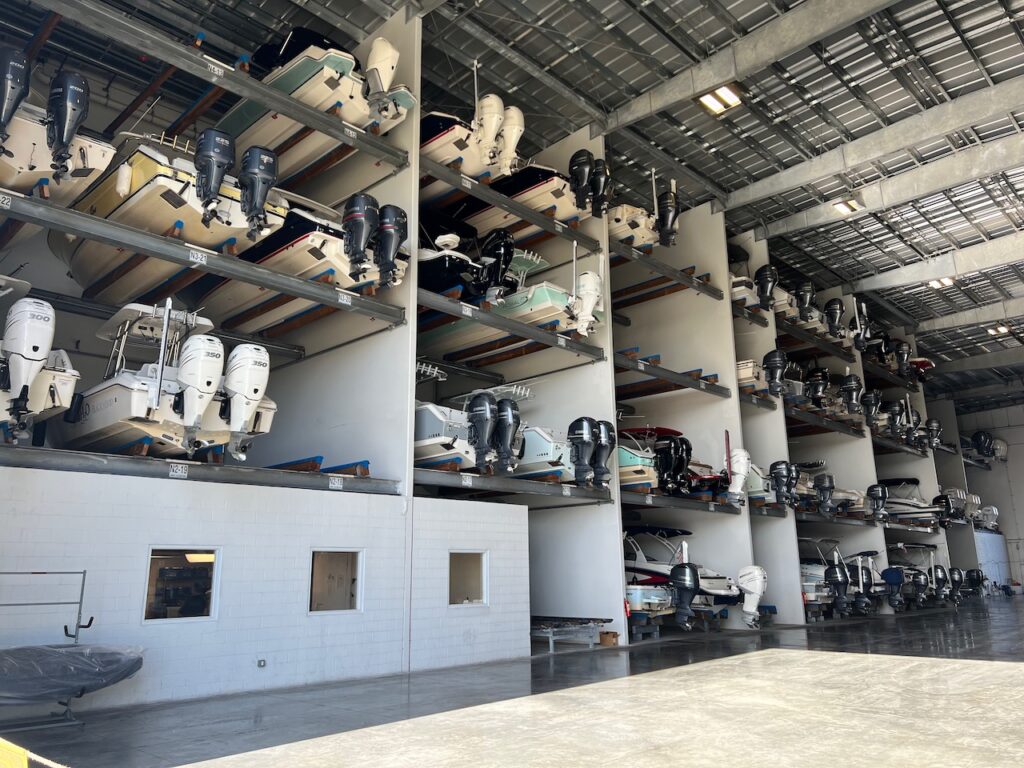
Valet parking for your boat! And this is live storage; if you want to take your boat out, just call ahead! 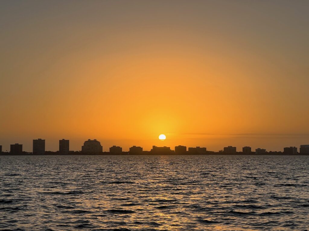
We left before sun up to try and get ahead of the wind and waves forecasted for late afternoon. Everglades National Park
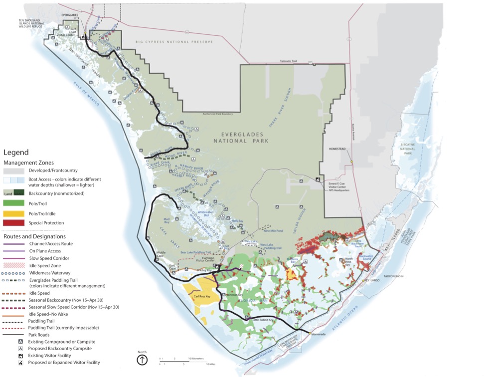
One and a half MILLION acres of South Florida wetlands… a gem of a National Park! We had to take, and pass, a test to get permission to visit as well as get a permit to boat in the park. Explore this virtually yourself at: https://www.nps.gov/ever/planyourvisit/index.htm 
We were one of only two boats in Ponce de Leon Bay sheltering from a strong south wind and steep waves. 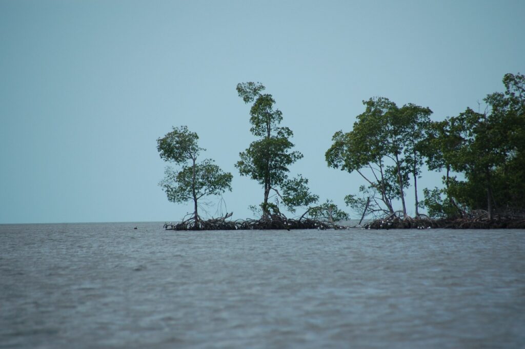
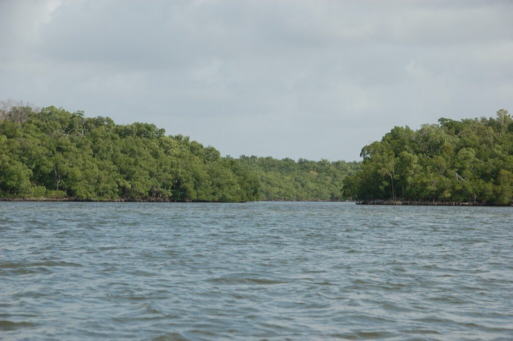
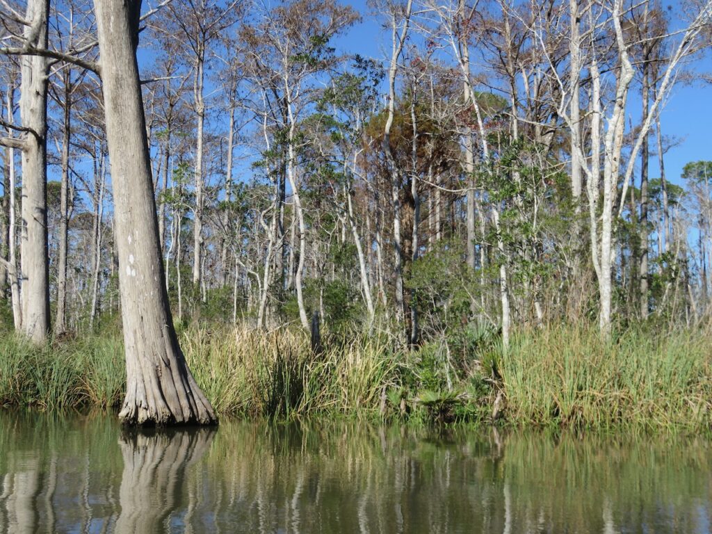
The wind had not abated so we decided to stay put another day and explore The Little Shark River by dinghy. You could easily get lost here without charts and/or a compass… all of the mangrove channels look alike after a while! 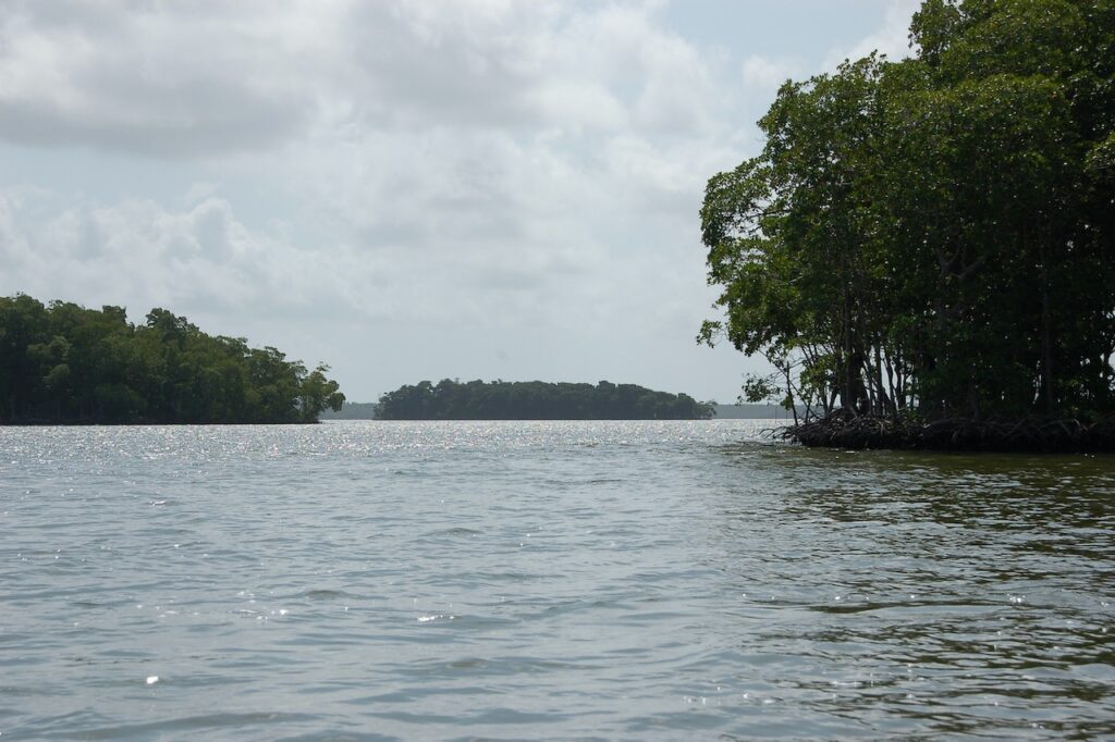

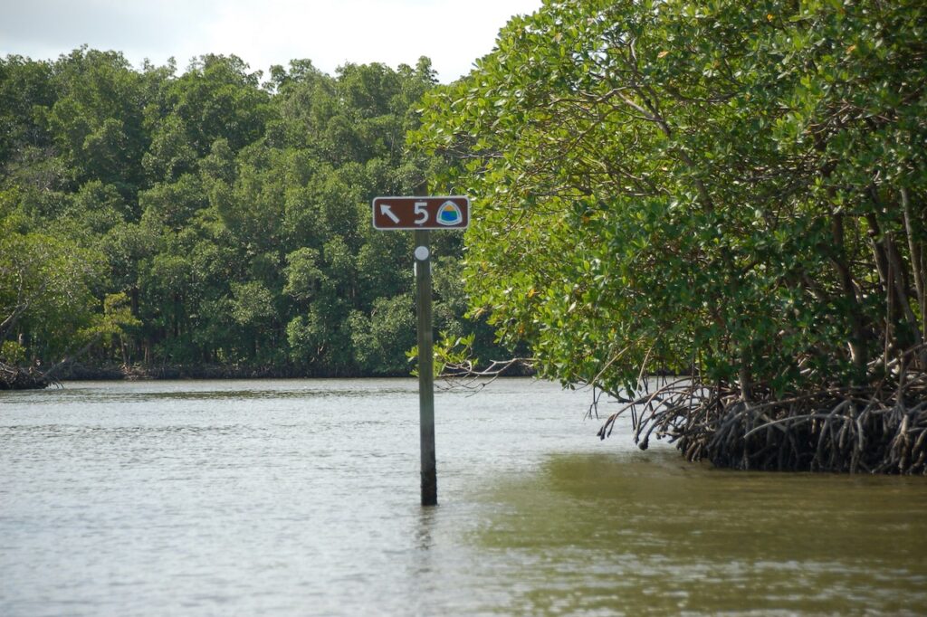
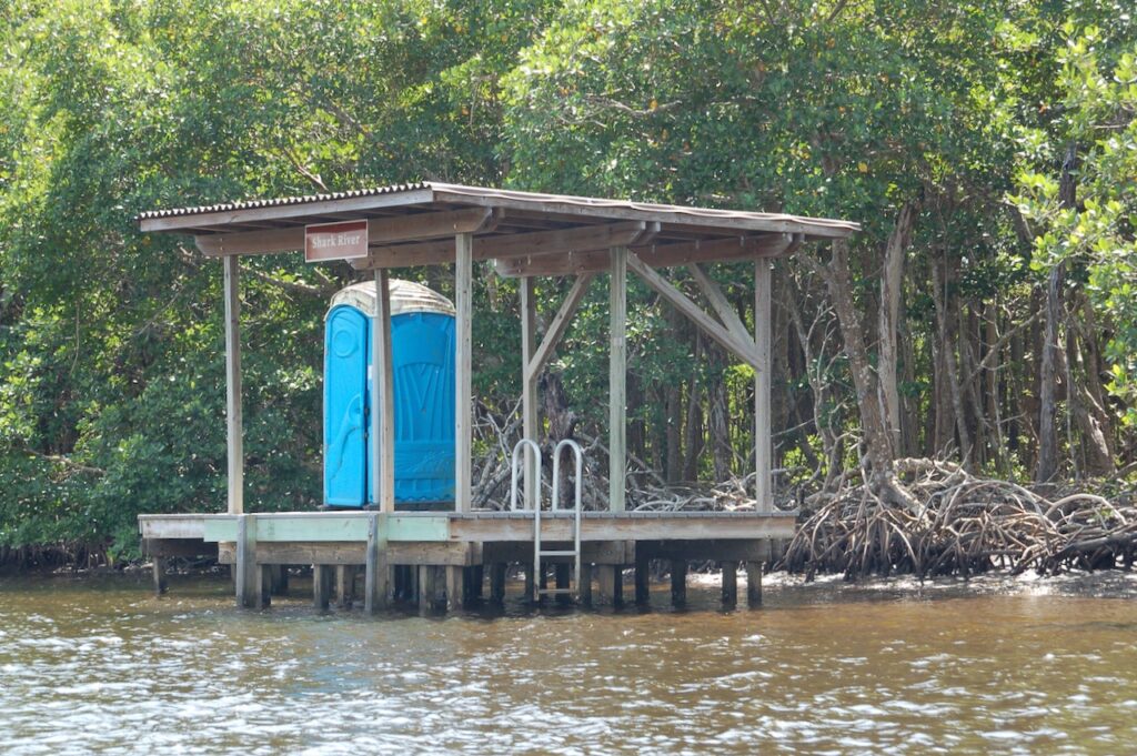
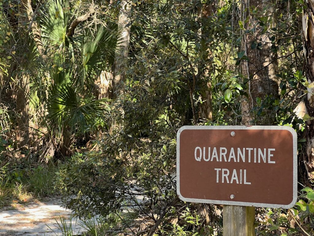
Like many of the other National Parks, you can “hike” (paddle) and camp in sections of the park. That was the cleanest port-potty I have EVER had the need to visit!🤣
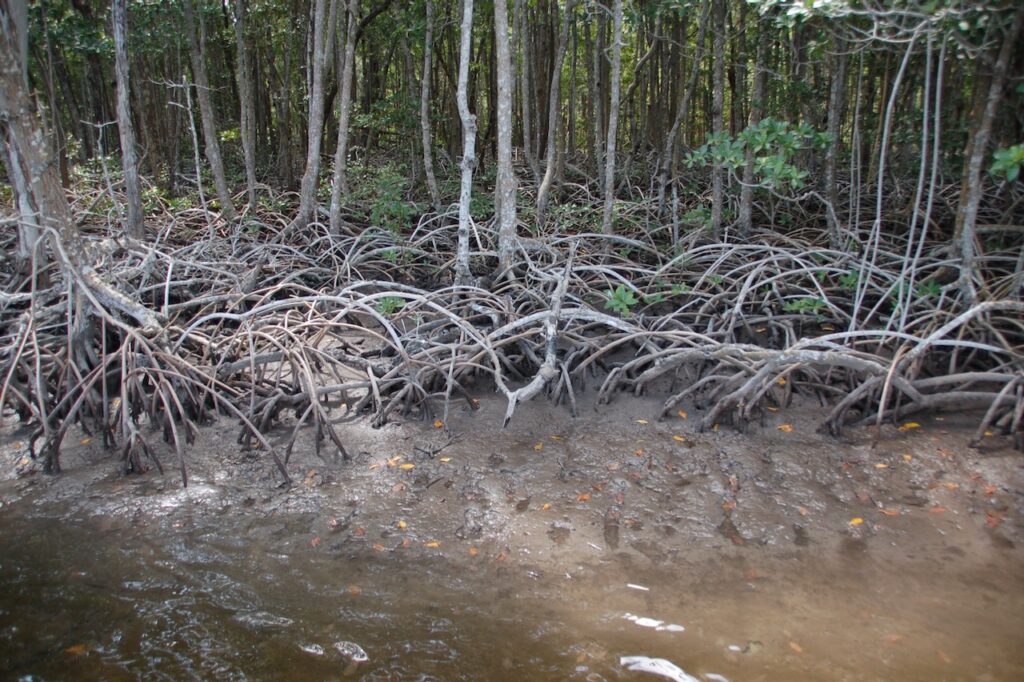
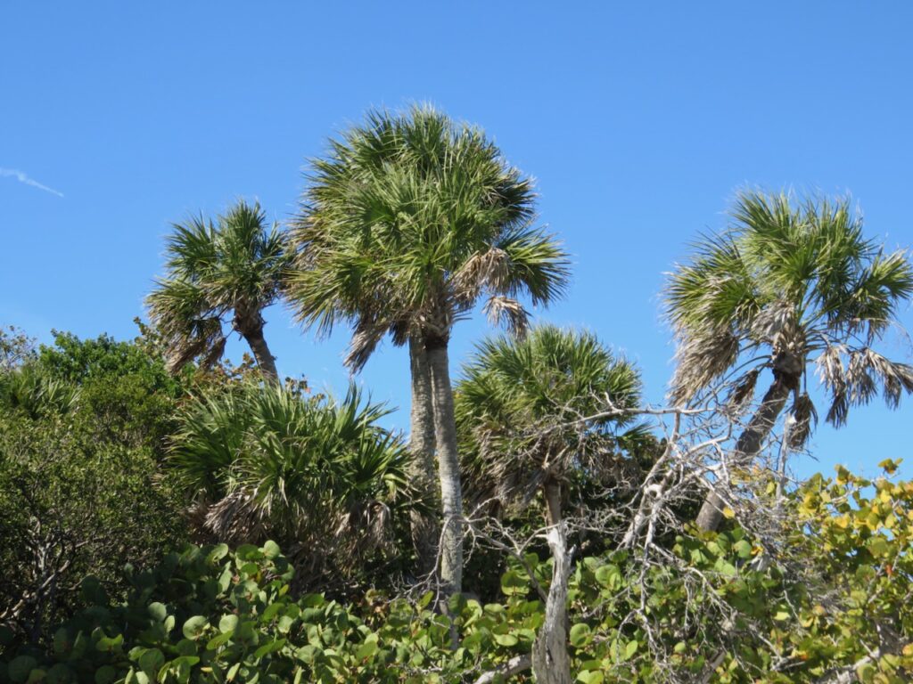
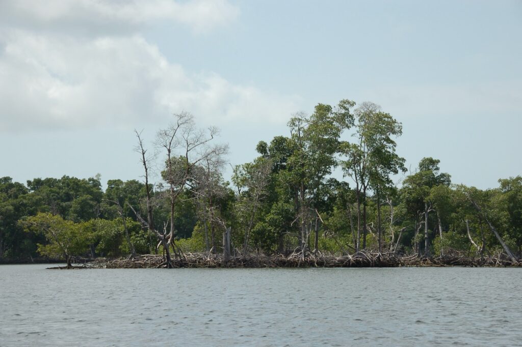
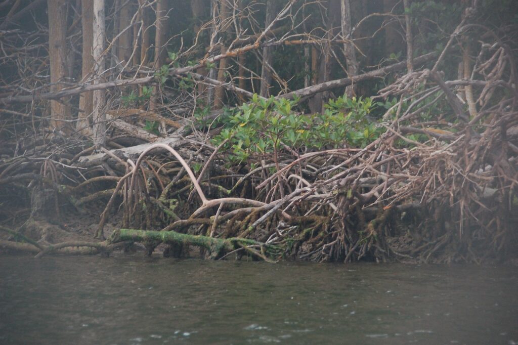
The mangroves doing their important job of creating new land. 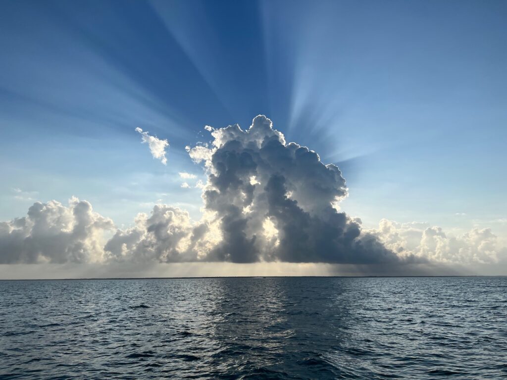
A last, breath-taking view of Florida’s West Coast over the park.