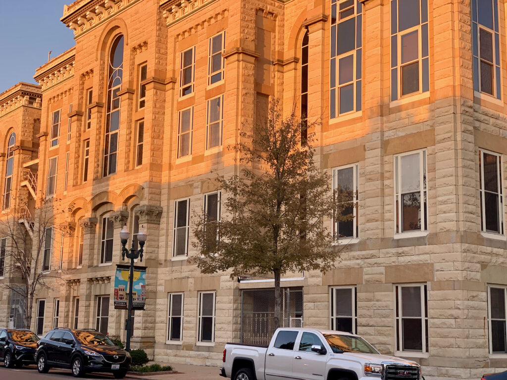
- Seattle? No, Chicago…
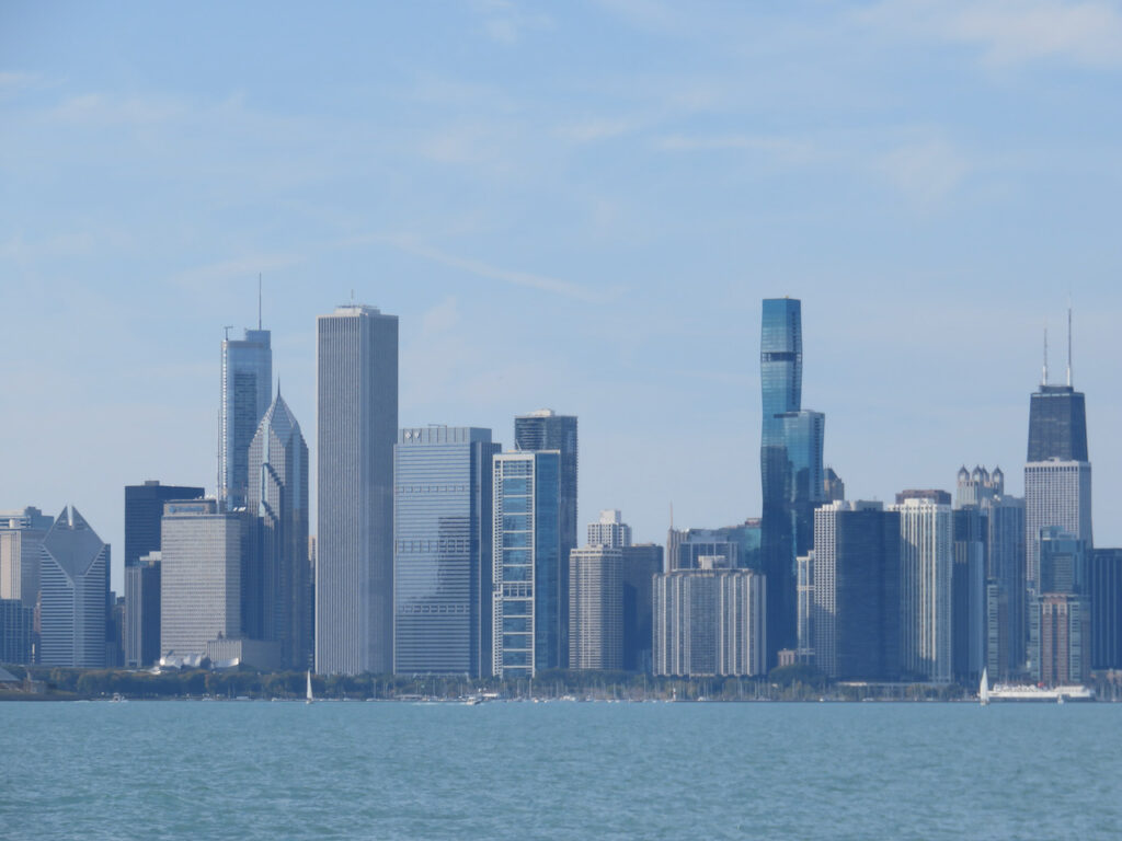
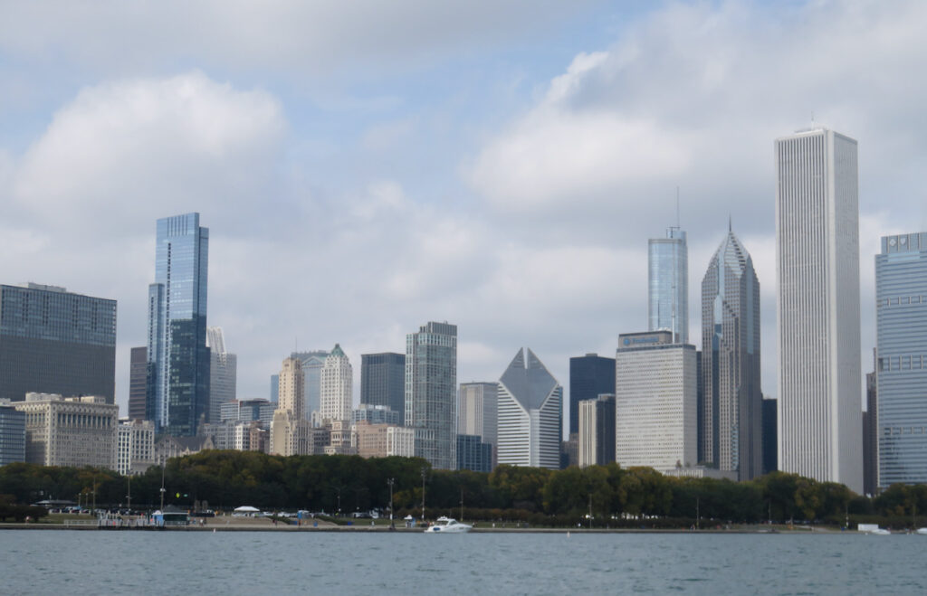
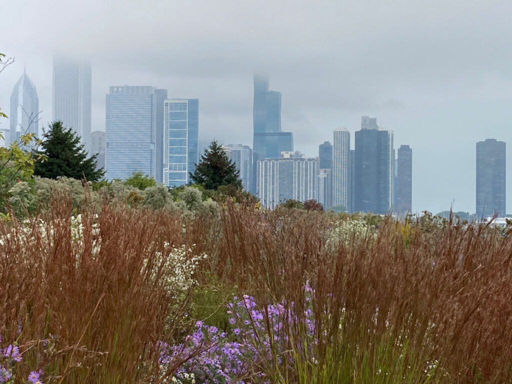
Such a spectacularly beautiful city… but while we were there, the weather did NOT facilitate photographing for you. We had a hint on the ride in from Lake Michigan where a strange, low cloud rendered the skyline fuzzy and everything a bluish shade of gray. Those clouds hung around pretty much our entire stay making us wonder if we had somehow landed in Seattle??? This post will set the stage while we curate the city…


- Yes, Chicago!
Even with the predominantly cheerless weather AND 10 days of required isolation (yes, COVID), we are Chicago’s newest fans. The waterfront, the bike-friendliness of the city, the architecture, the art… and of course, the pizza!
Quarantining in Chicago
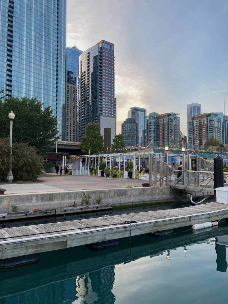
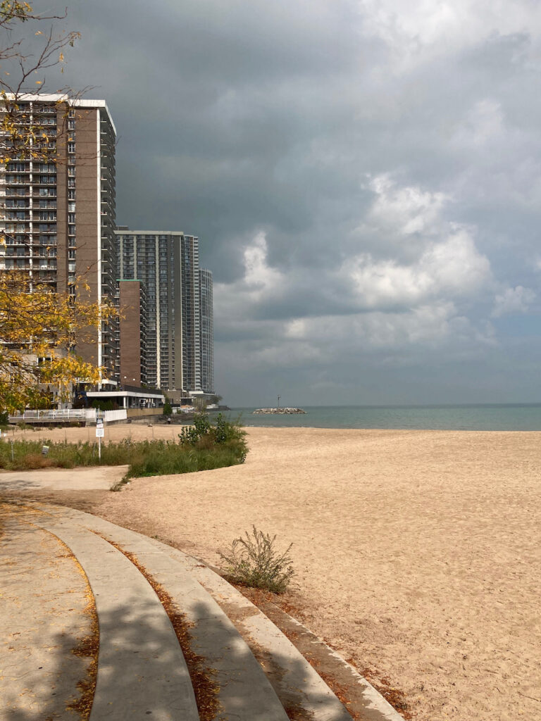
Our first night was spent in the mooring field in Monroe Harbor. Looks great from the boat, right? Not so much ON the boat… the waterfront swung in a 30 degree arc all night and we were going to have to be there for 10 days.🤢 We moved into DuSable Harbor which sits on the Lake Shore Drive bike and pedestrian trail. From this vantage point we could watch the world go by… and get gelato & groceries delivered!
Our Neighborhood
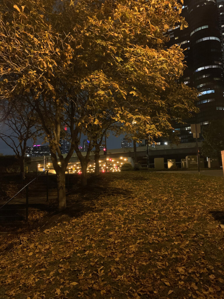
With no ability to do much until we could be “sprung from jail”, we masked up and walked. The harbor was right downtown so Grant Park, Millennium Park, Navy Pier and the River Walk were all easily accessible. There was also a beautiful little park tucked into a block of four residential towers between the harbor and the Aon Center (Chicago headquarters for Heinz, Microsoft and the like).
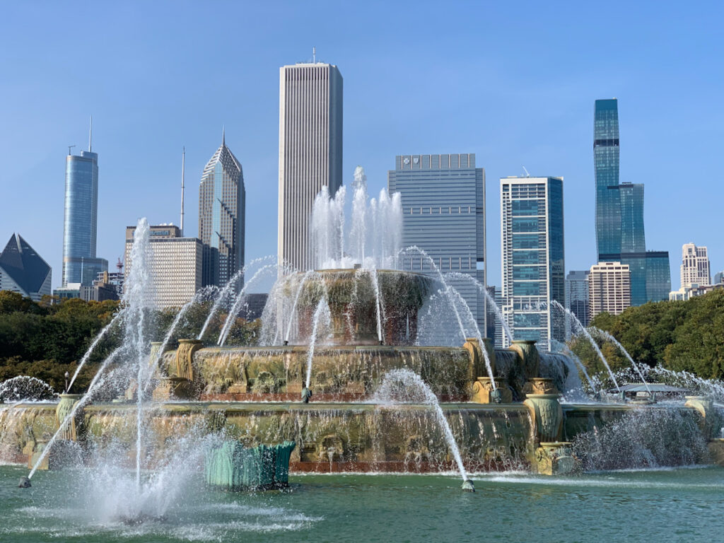
Buckingham Fountain in Grant Park 
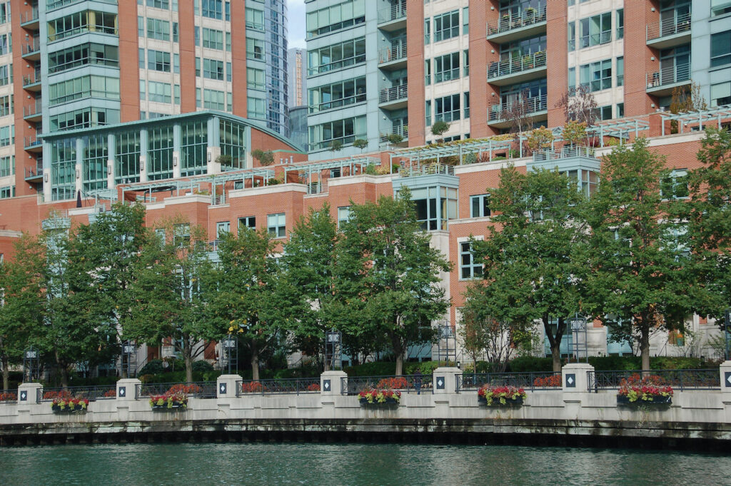
Lake Shore East Park 
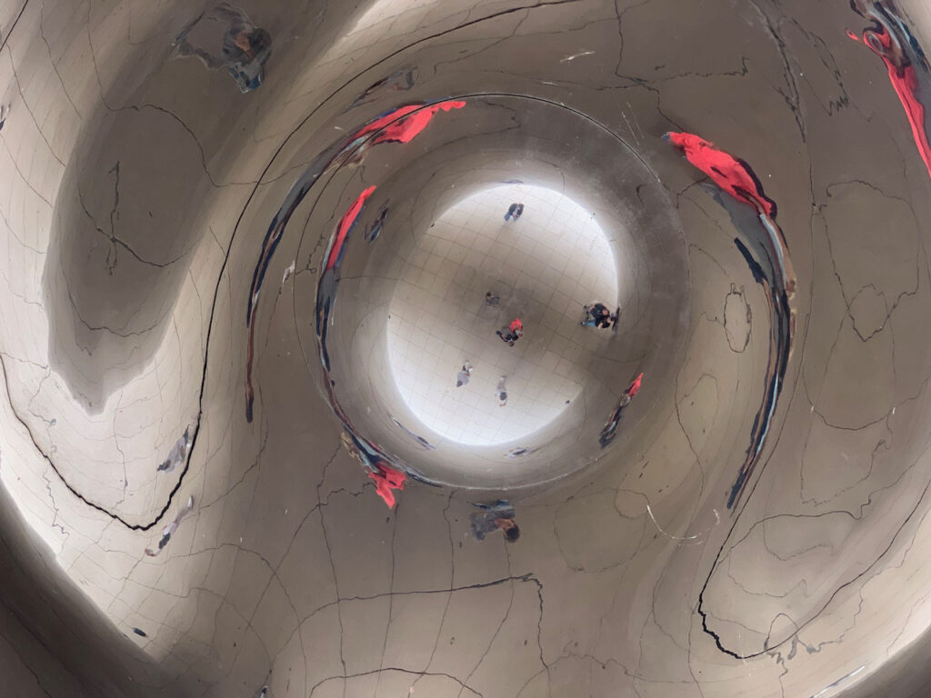
East Randolph St… even the streets are manicured! Cloud Gate at Millennium Park, known to the locals as “The Bean”. The picture on the right is taken from underneath, looking straight up.
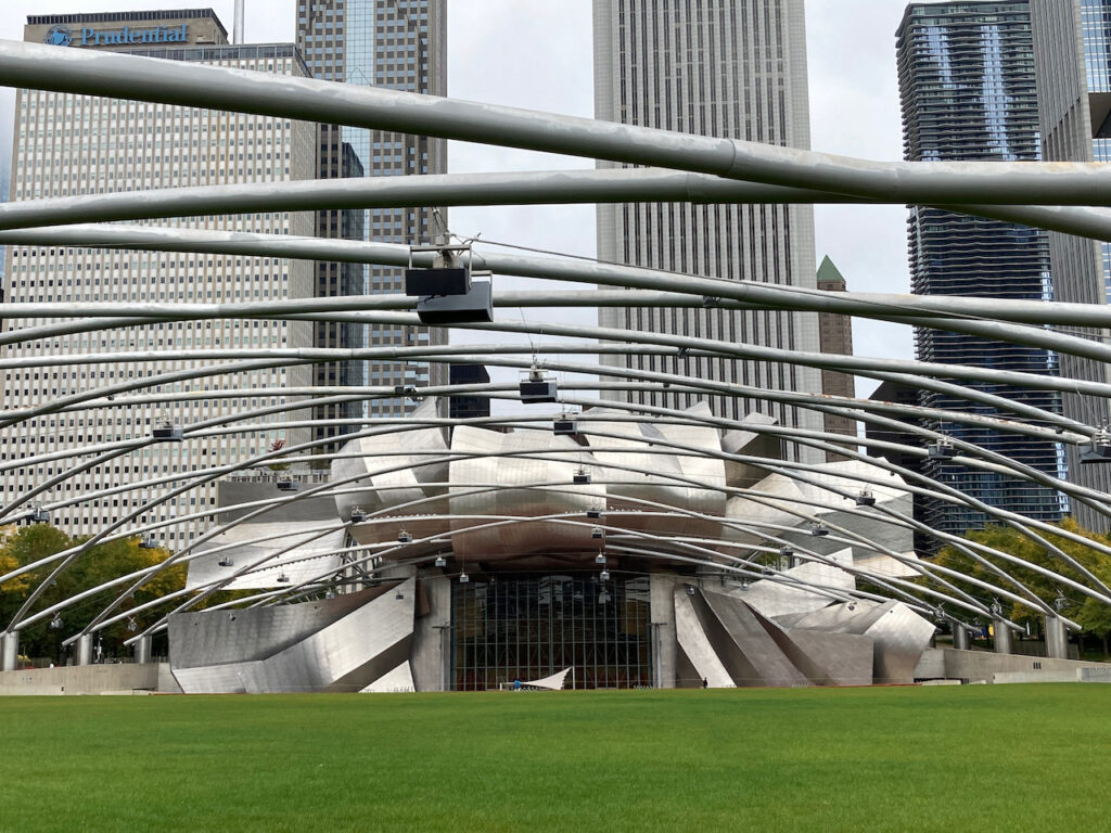
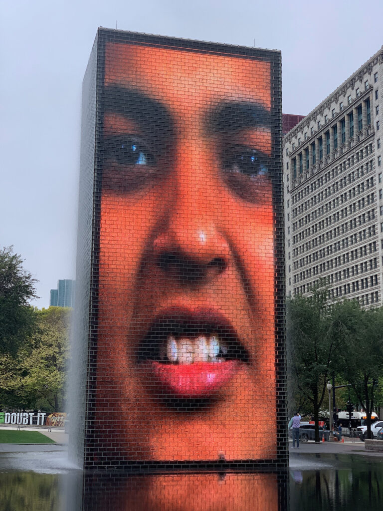
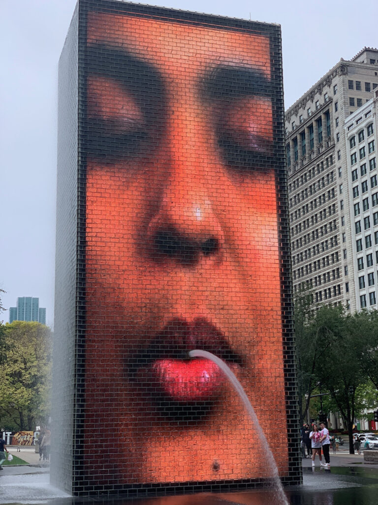
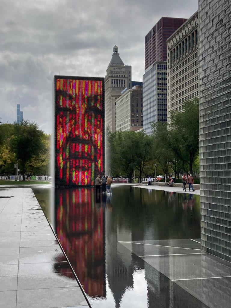
The Jay Pritzker Pavilion Crown Fountain at Millennium Park
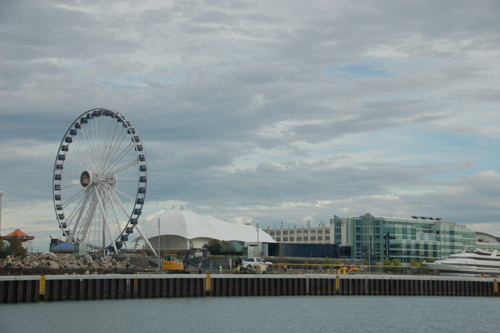
Navy Pier The River Walk
Free at Last
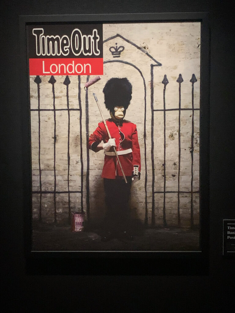
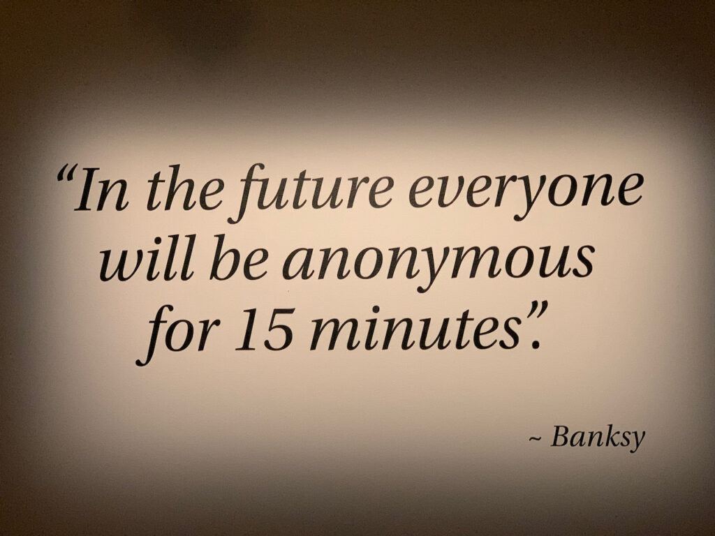
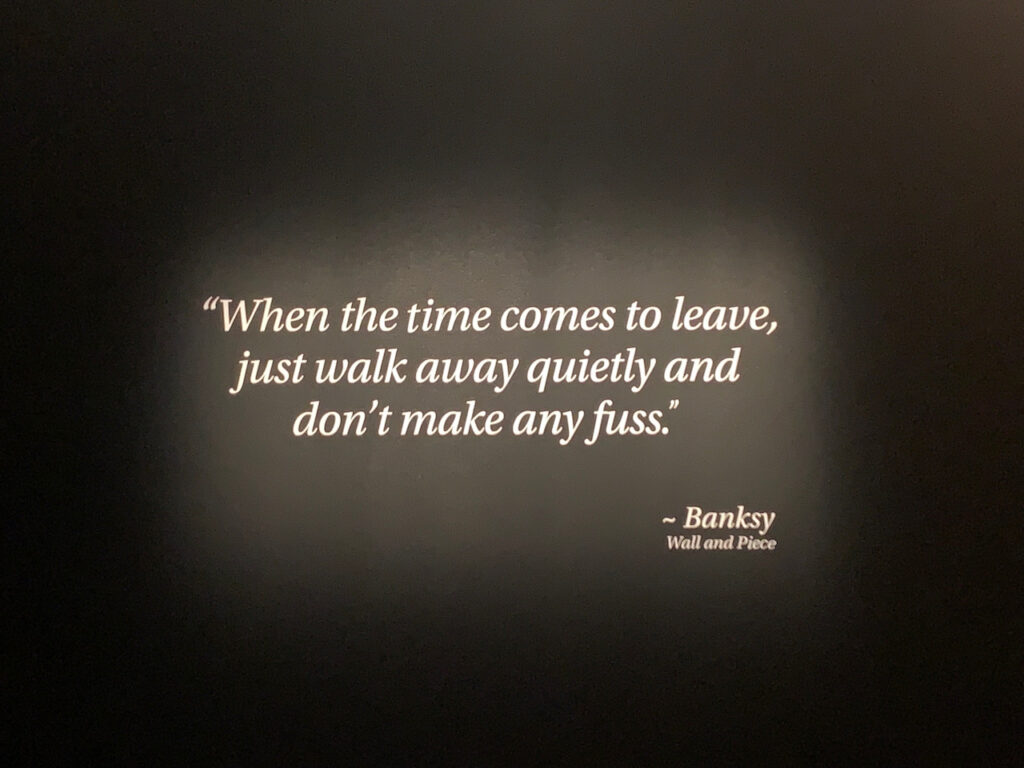
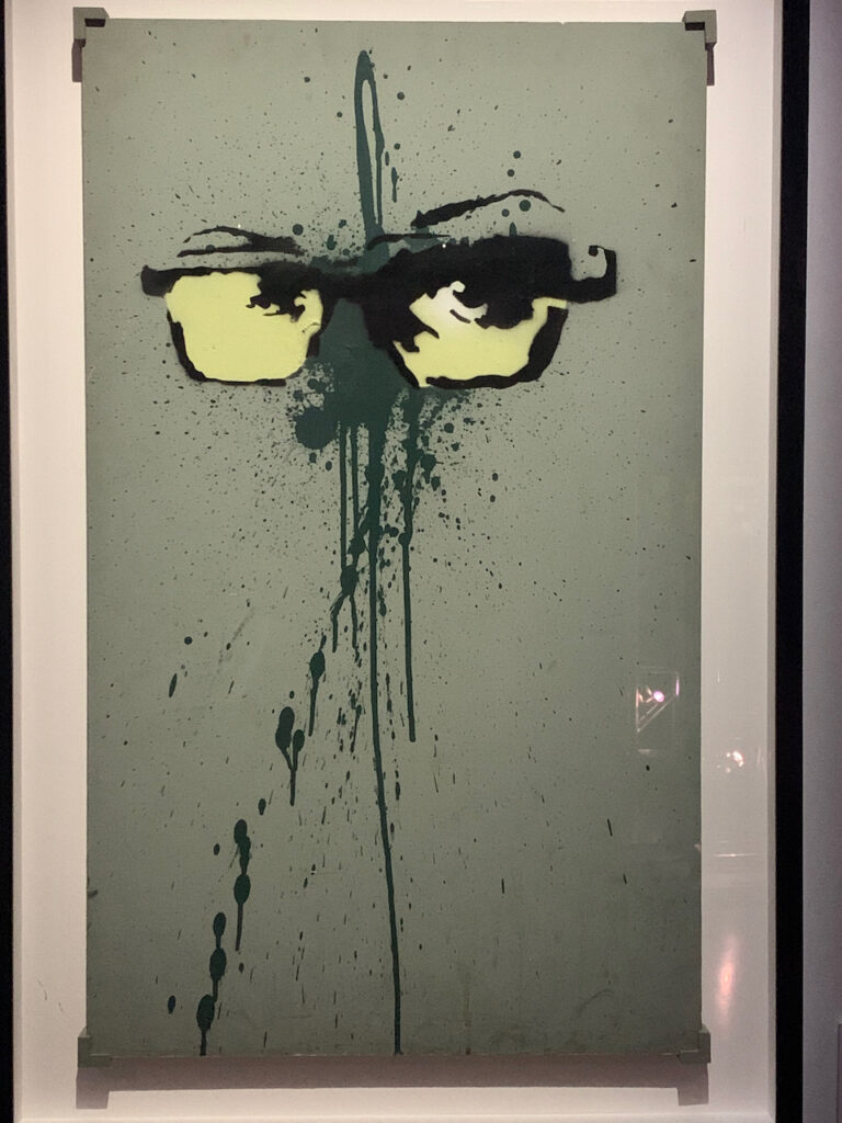
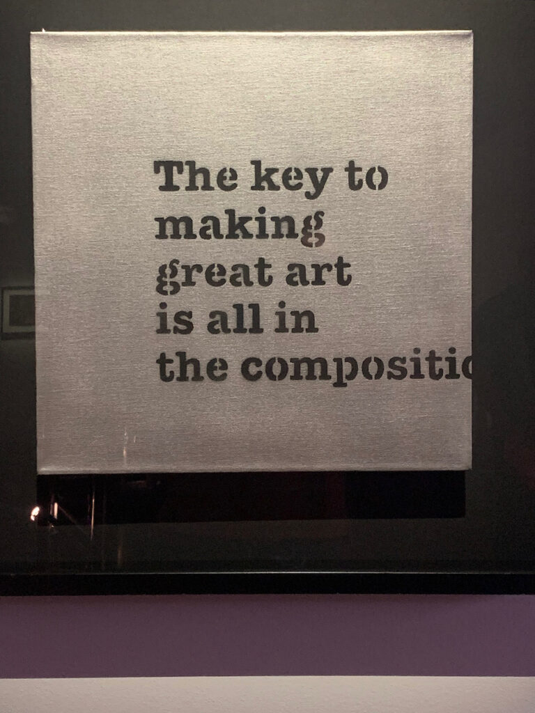
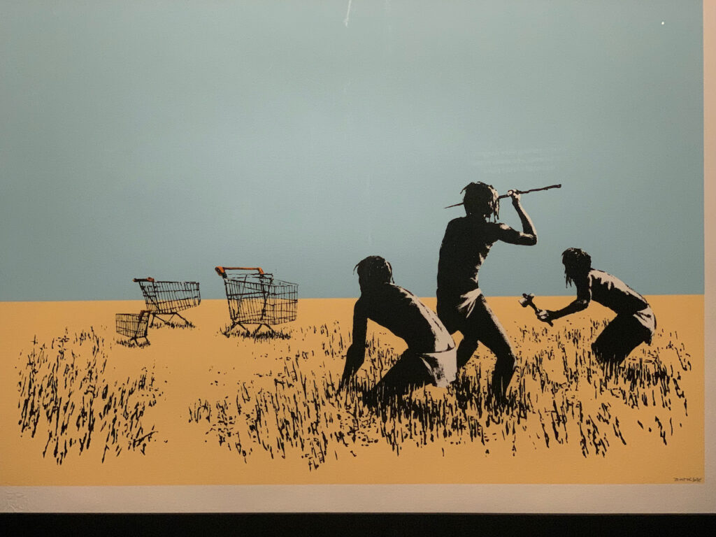
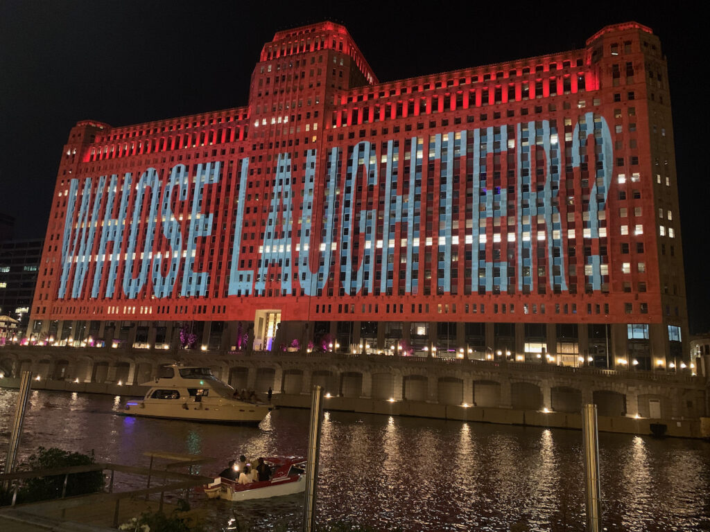
Once we were able to, we took advantage of being tourists in the city. We rode the Lake Front Trail to its northern end and had lunch in a little restaurant in Edgewater, we rode to the southern end and visited the Chicago Science and Industry Museum. We saw an exhibition of work by Banksy, the British graffiti artist, and Barbara Kruger’s nightly display on the Mart (a 4 million sq ft building). We caught the beginning of the Chicago Marathon, then rode to the finish line and watched some of the fastest runners come in. A shout out to Dana & Sarah who provided the highlight of our time in Chicago: a tour of Frank Lloyd Wright’s house and studio, as well as a walking tour of the Wright houses in Oak Park. Many thanks for making that happen…

The end of the Lake Shore Trail 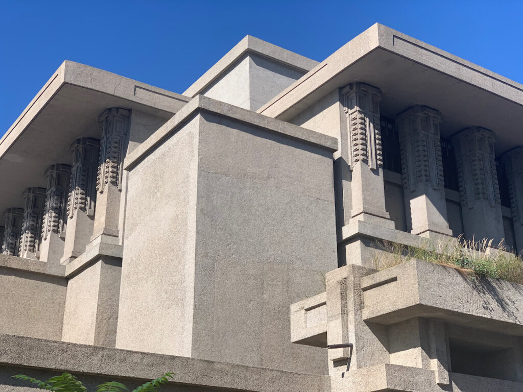
Frank Lloyd Wright’s Unity Church 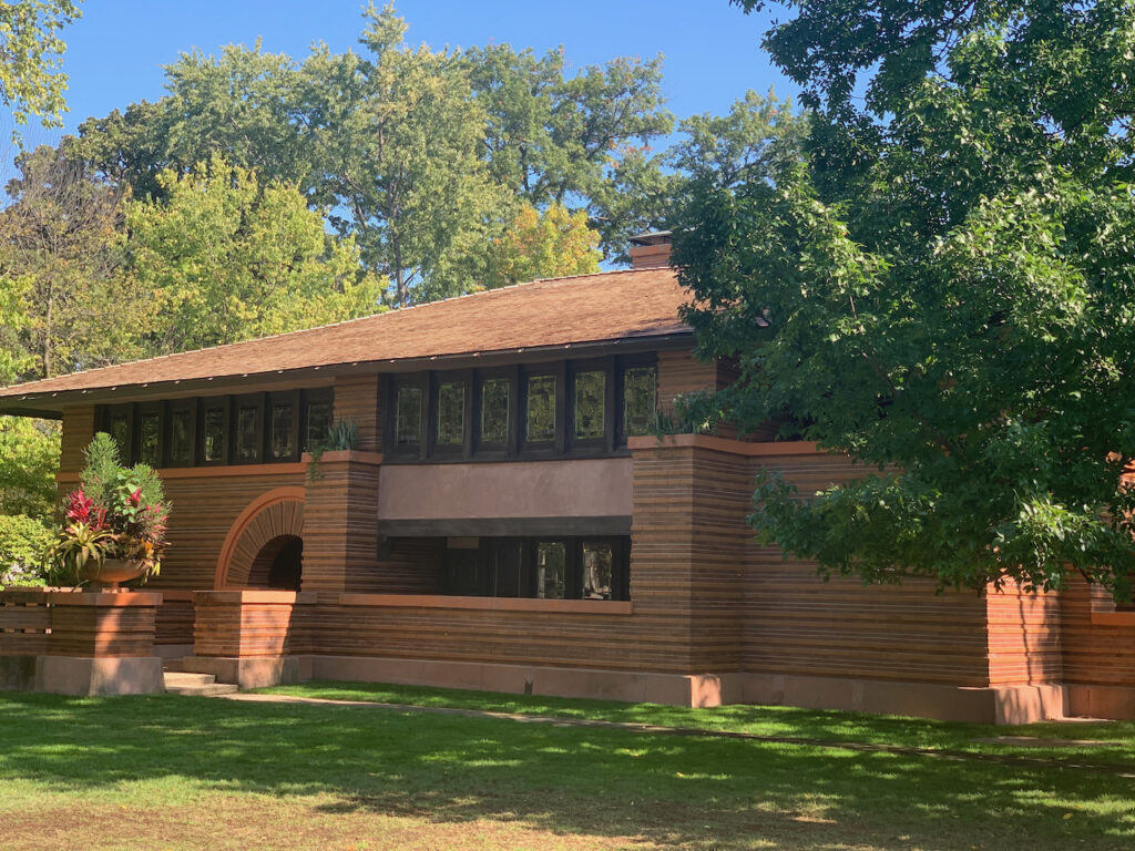
A private Frank Lloyd Wright house 
And another… the differing styles reflect the different influences over the course of his career. 
The children’s playroom in Wright’s personal residence. This photo highlights the meticulous detail… 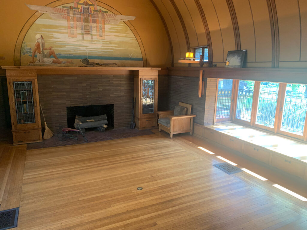
… this the actual scale of the room! 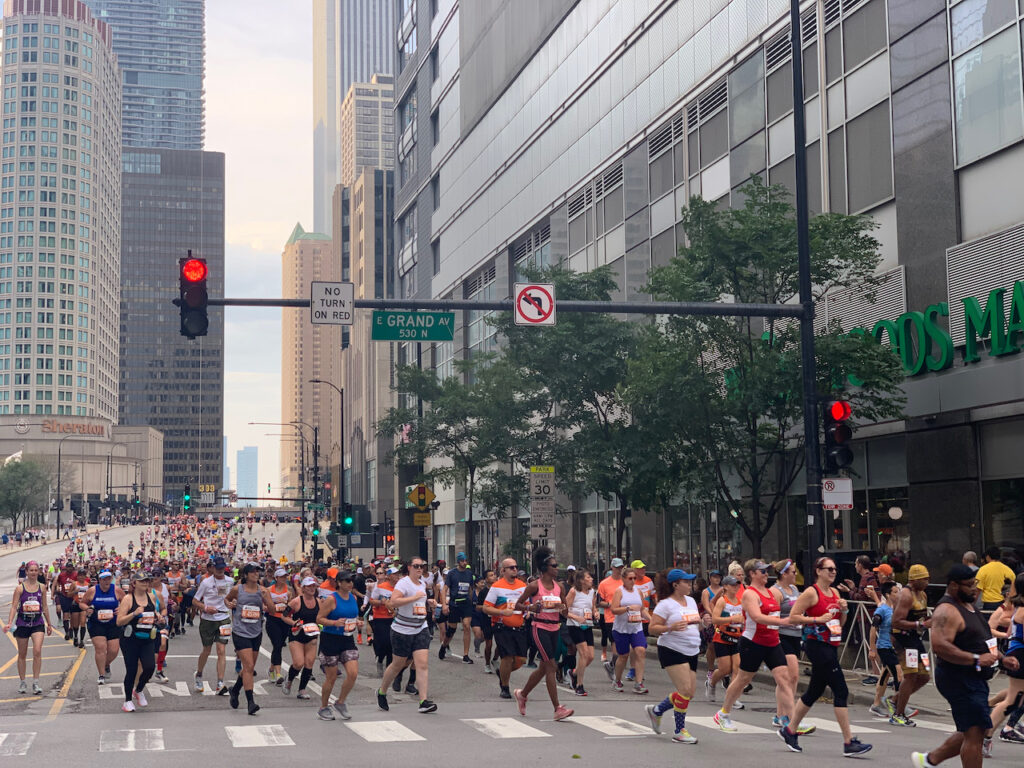
They’re off! 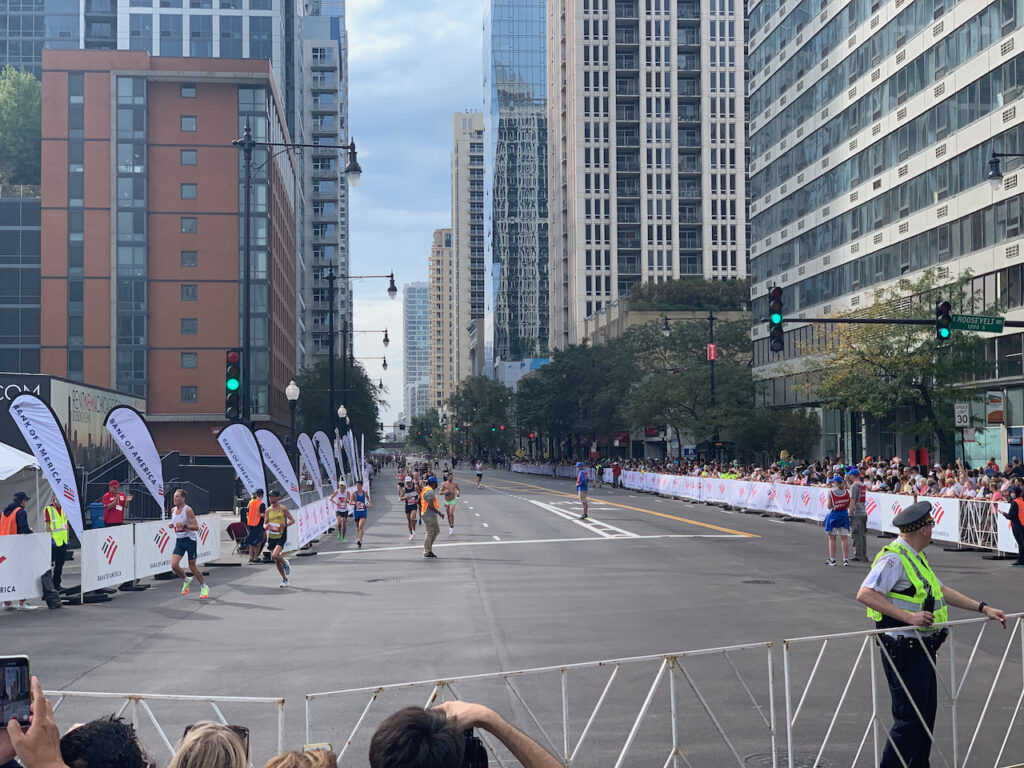
Some of the best at mile 20… Some of Banksy’s most irreverent and rebellious works were on display.
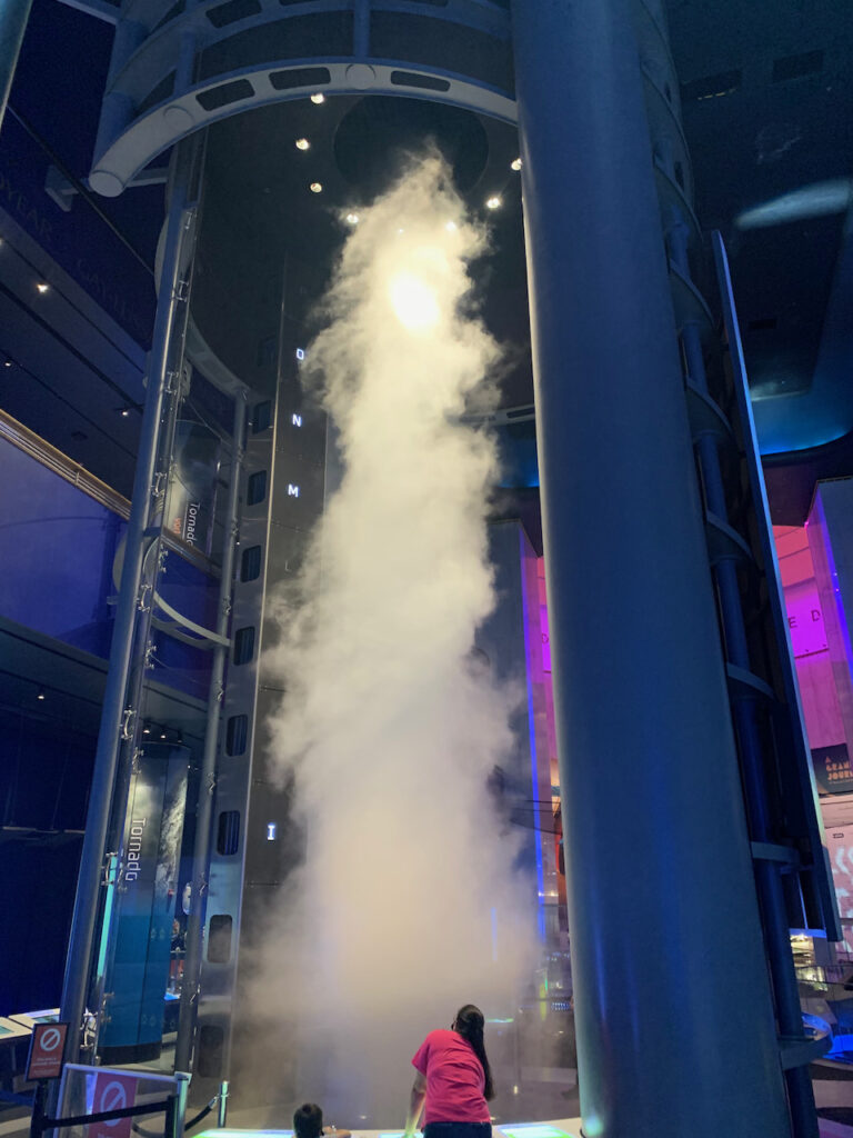
The tornado simulator at the Weather exhibit in the Science & Industry Museum. We wished we could have had a couple more days to spend there! A Barbara Kruger projection at the Merchandise Mart
- Architecture as Art
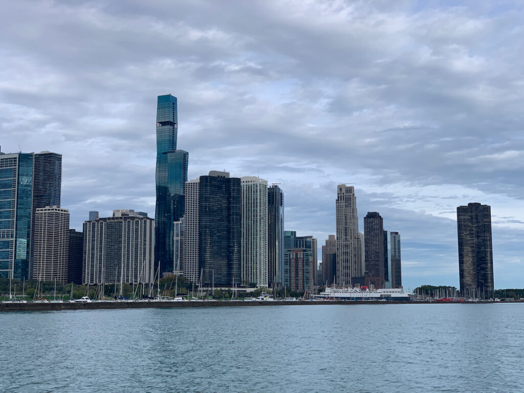
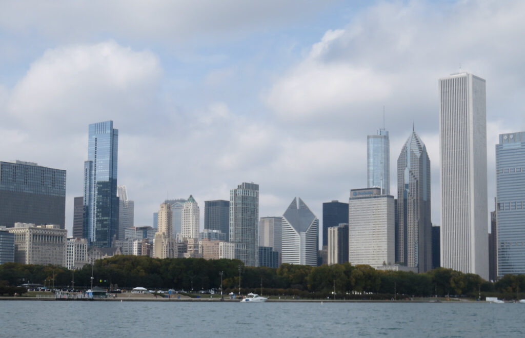
In addition to the abundance of things to do, places to eat and sites to see, Chicago is simply a gorgeous city. Its location on the lake, and the river which runs through it, give it a natural head start over some other cities, but the emphasis on form and detail, in buildings both new and old, combined with the geography, make it special.
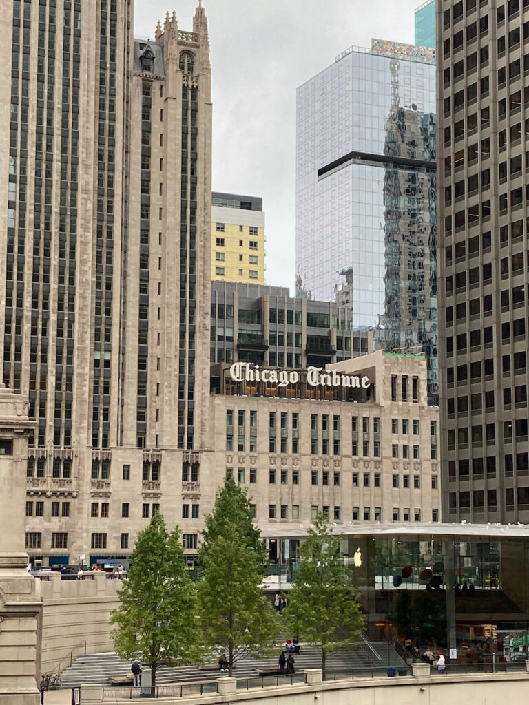
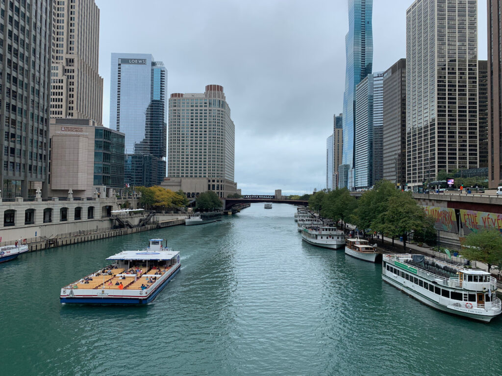
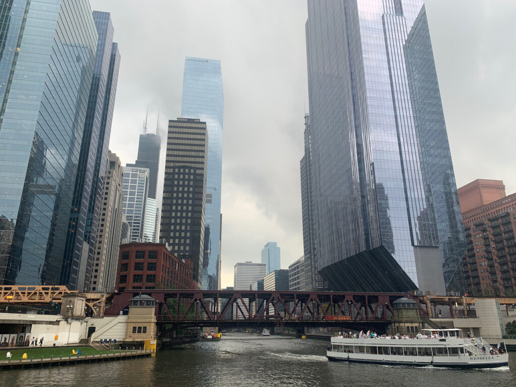
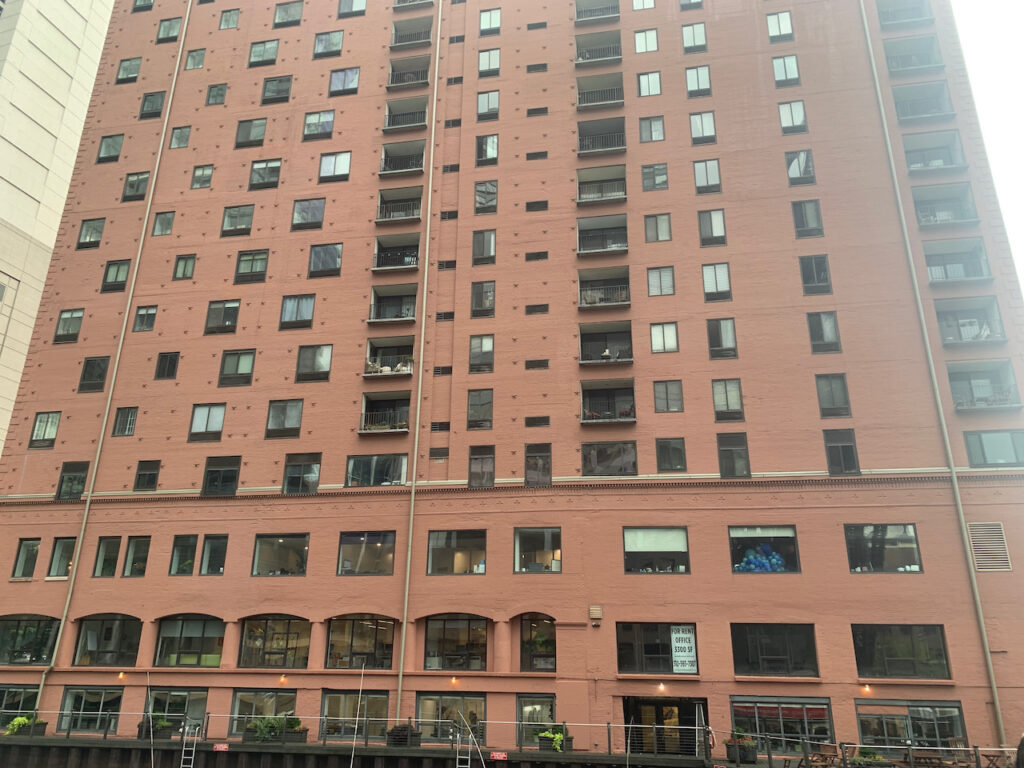
The Architecture River Tour

As virtual crew, you can take the tour down the Chicago River with us… 
Marina City (1962) 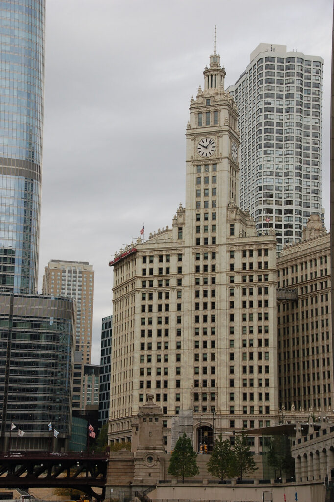
The Wrigley Building (1924) 
Does this need saying??? (2009) The Reid, Murdoch & Co. Building (1914)

The Jeweler’s Building, in 1927 the tallest building outside New York City. 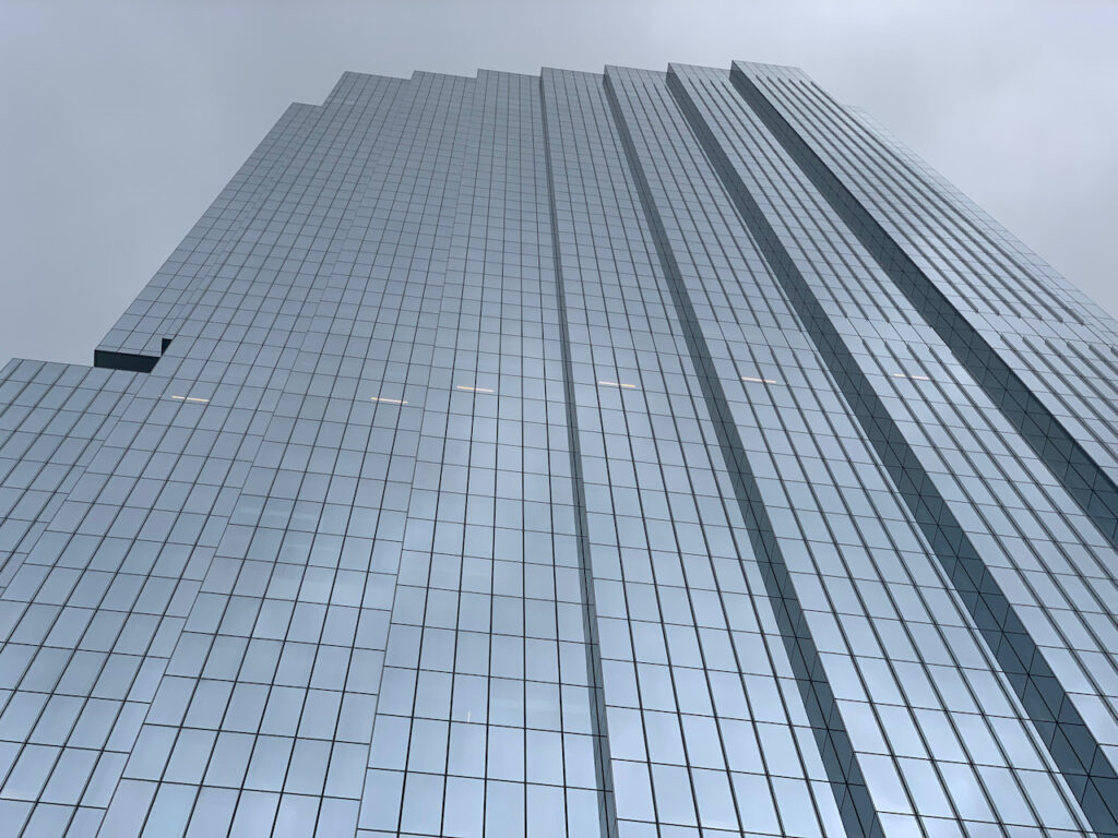
The Bank of America Tower (2020) 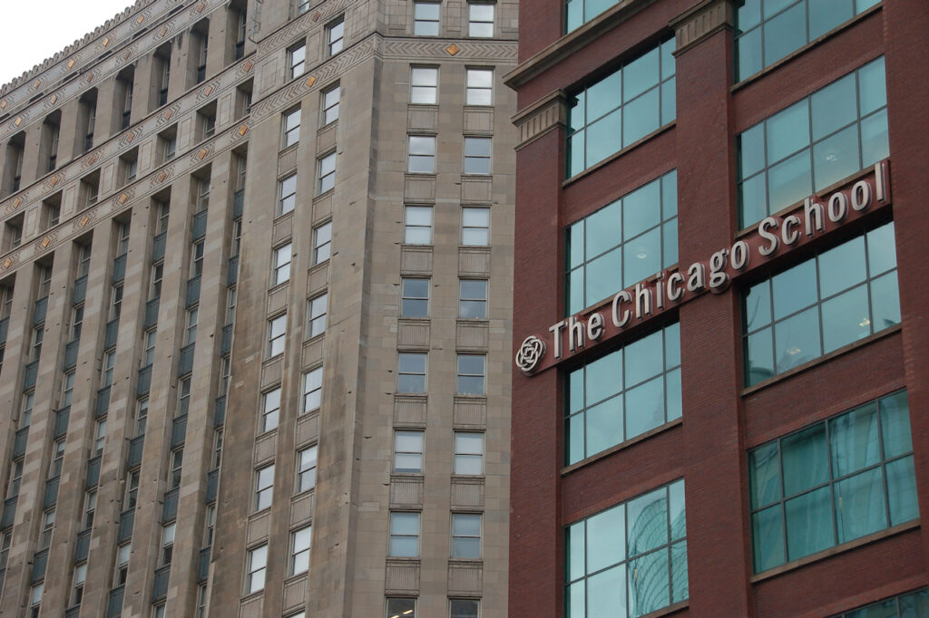
The Chicago School of Professional Psychology 
Chicago Union Station Tower (2021) 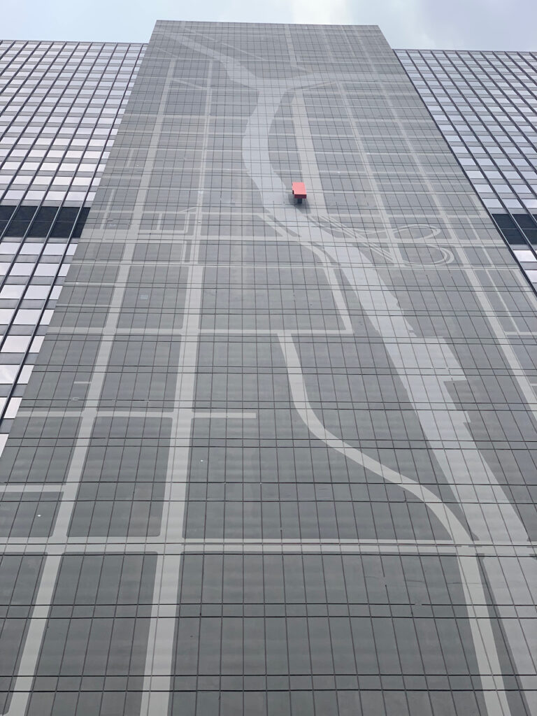
300 S Wacker Drive – The design on the face of the building is a map of the river and surrounding streets; the red rectangle indicates this building’s location relative to both (renovated in 2014) 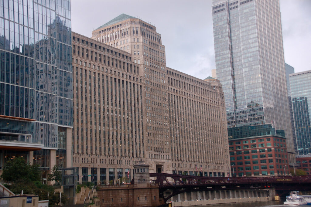
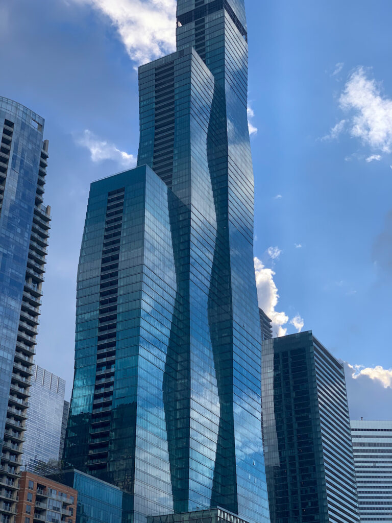
The Merchandise Mart was, when opened in 1930, the largest building in the world by usable area. Vista Tower (The Residences at St Regis Chicago) is the tallest building in the world designed by a woman, Jeanne Gang. The small black stripe near the top of the 3rd tower is actually an open floor. It is designed to allow the winds from Lake Michigan to pass through the building thereby minimizing sway. Many of the new buildings had some feature like this, to reduce sway. Both the old and new buildings were also designed with features that allowed light and air to reach the street level of the city (2020).

The building in the back is the Aqua Tower, another Jeanne Gang building (2010). 
333 W Wacker Drive at Riverwalk (1983) 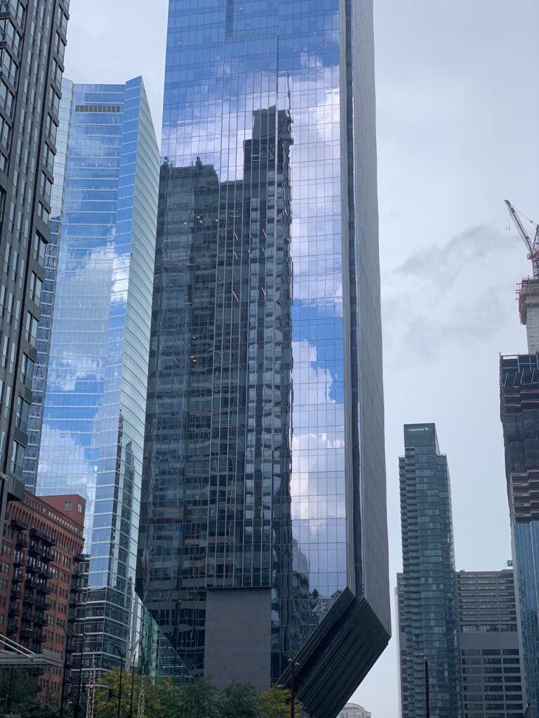
The “Champagne Flute” (2017) 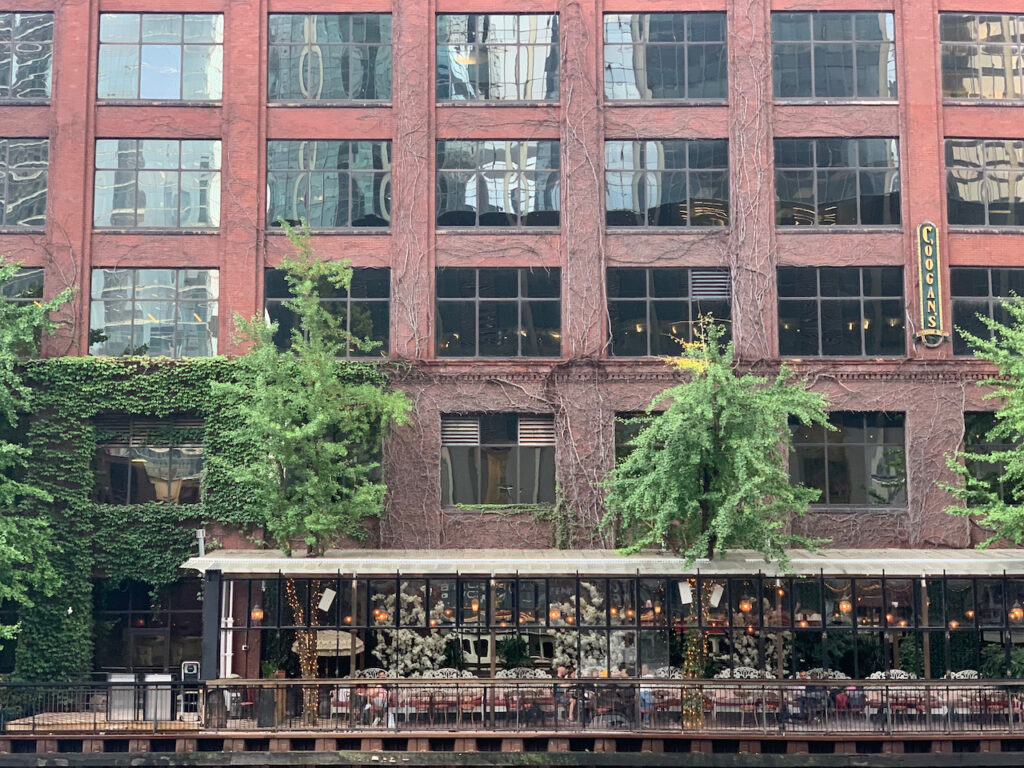
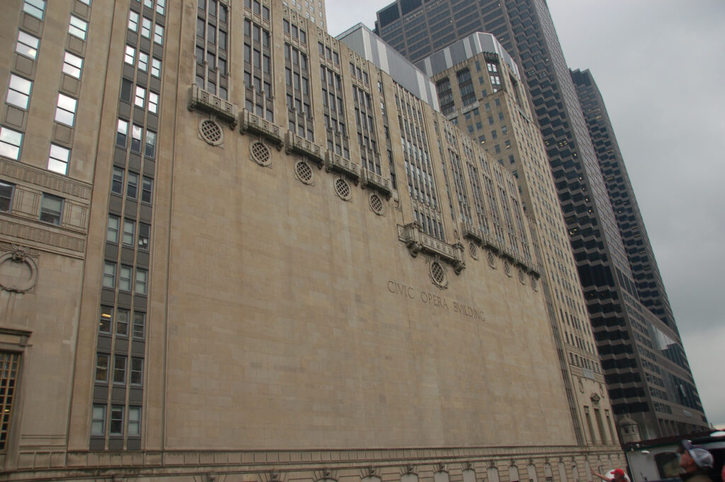
180 N Wacker The Civic Opera House (1929)
Fulton House Condos 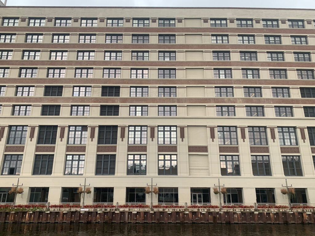
The former Montgomery Ward’s Distribution Center, now lofts (1907). 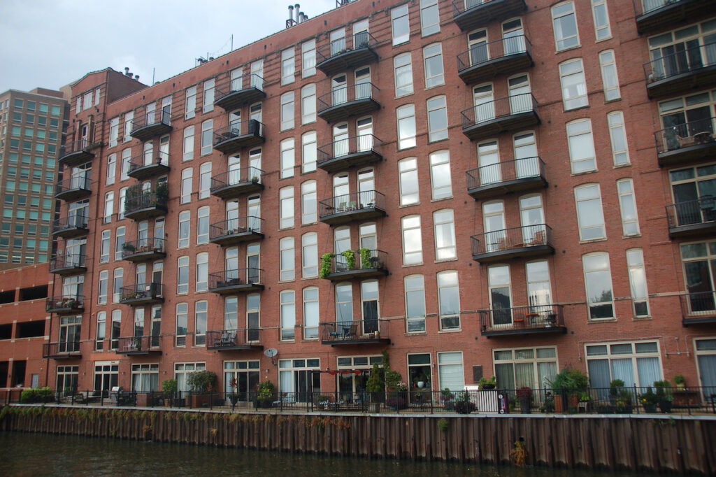
Riverview Lofts on the North Branch 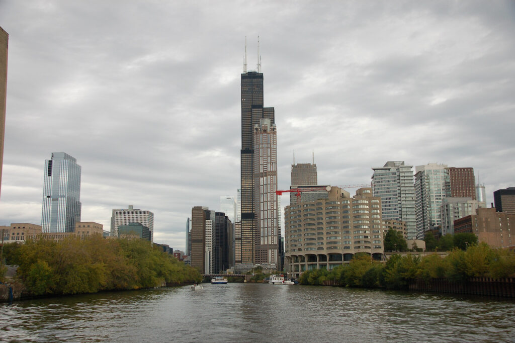
Leaving Chicago on the River. Here, finally, is the Willis Tower, formerly the Sears Tower. Architecture NOT on the River (but interesting, still the same)


- A Bird’s Eye View…
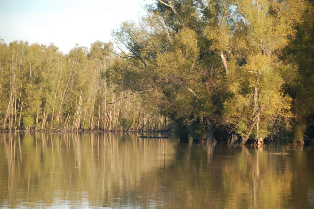
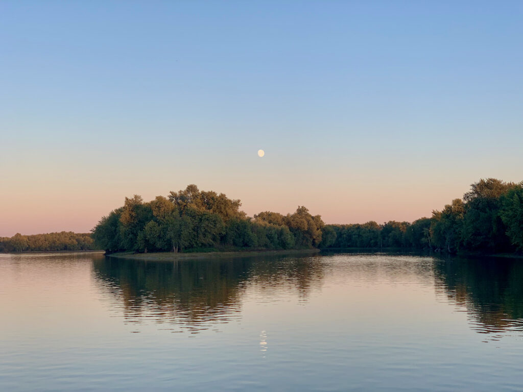
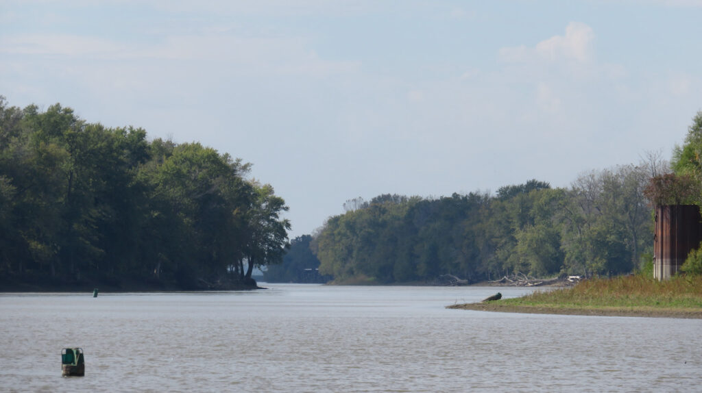
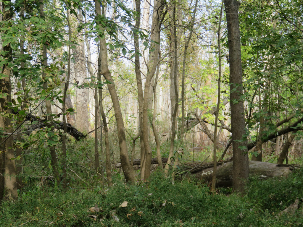
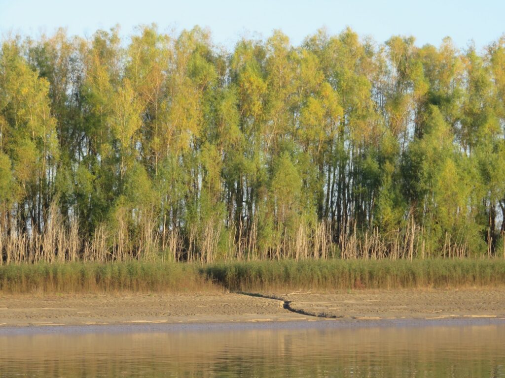
…of the Illinois River Waterway. The first of the inland rivers we are traveling is known as the Illinois River Waterway. This section of the journey is comprised of the Chicago River, the Chicago Sanitary & Ship Canal, the Des Plaines River and the Illinois River. We will have traveled 285 nautical miles (327 statutory miles or 526 kilometers to reach the Upper Mississippi River from Chicago. And as you can see, this vista could not be more different than downtown Chicago!


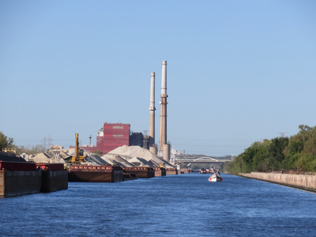
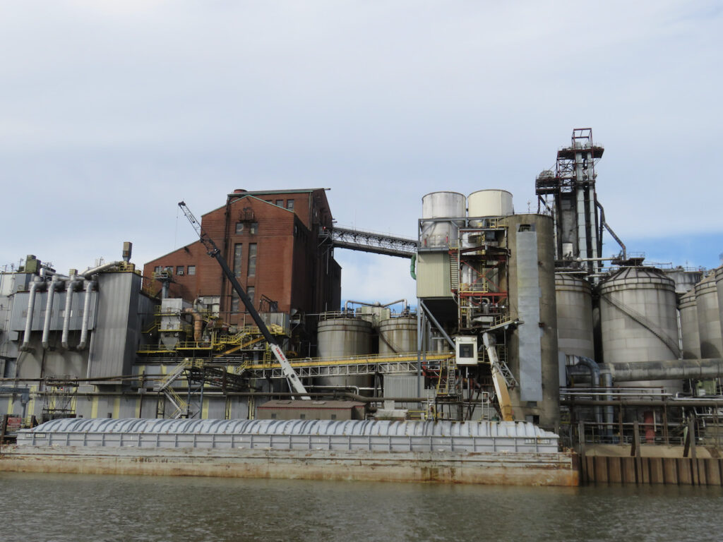
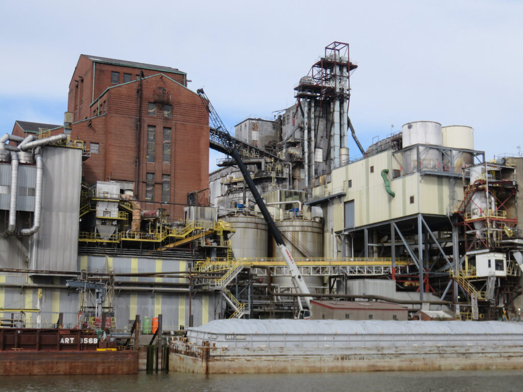
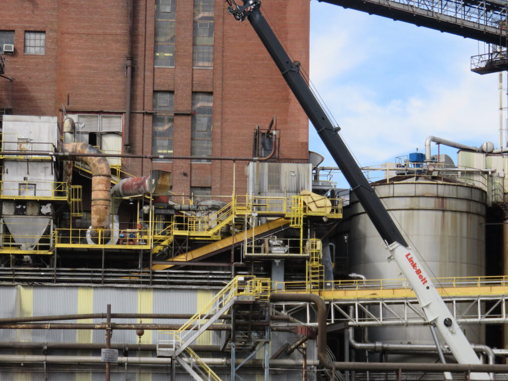
- The Illinois River Supply Chain
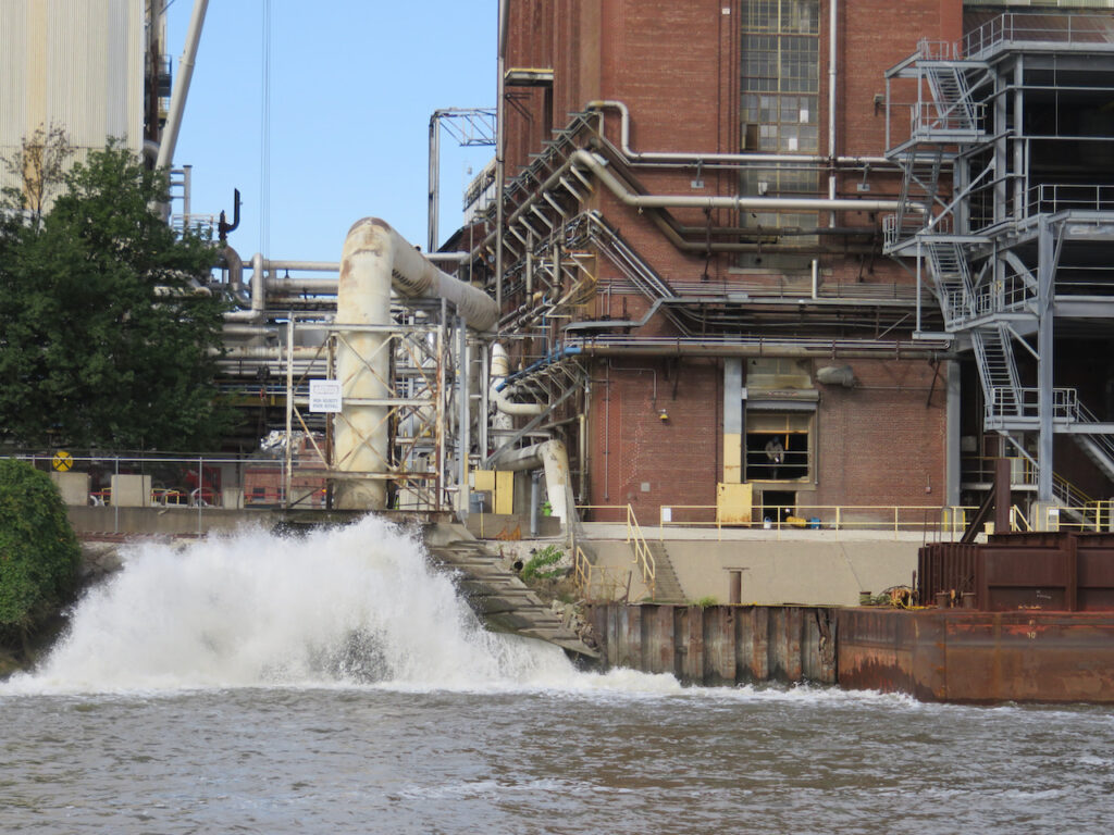
The Illinois River has provided us with a new perspective on American industry. Even the industrial giants (Ford, DuPont, Goodyear, Chrysler) we knew from Buffalo are further up the supply chain than the work in progress we passed traveling down the river.
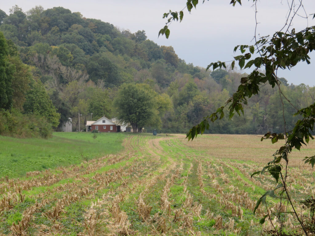
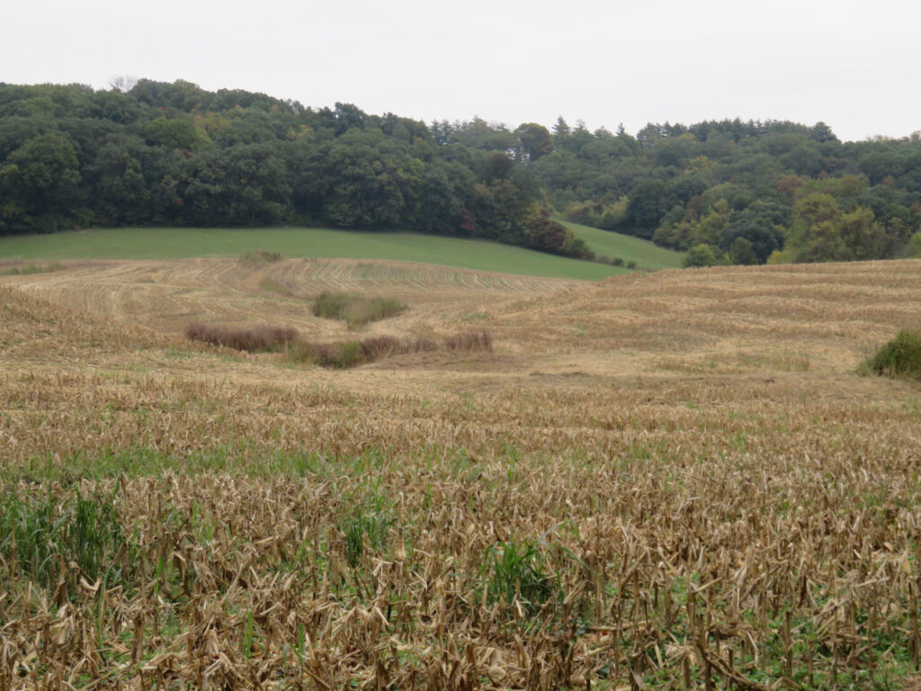
Behind the river banks we pass are miles and miles of farmland, let’s call that ground zero.
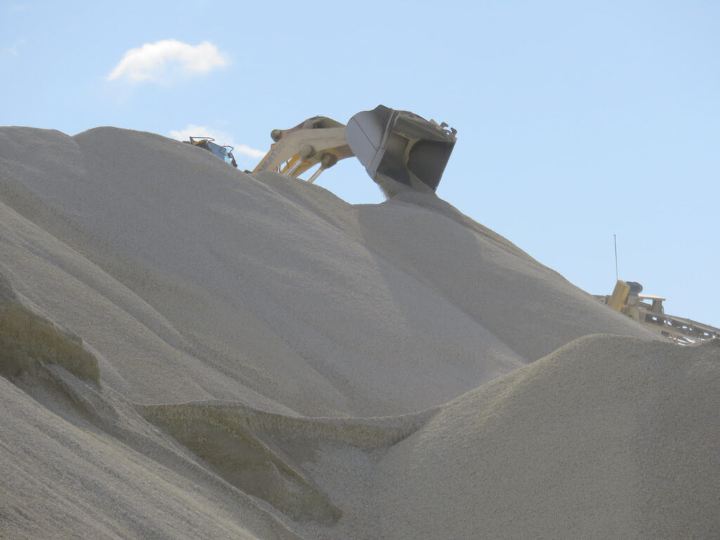
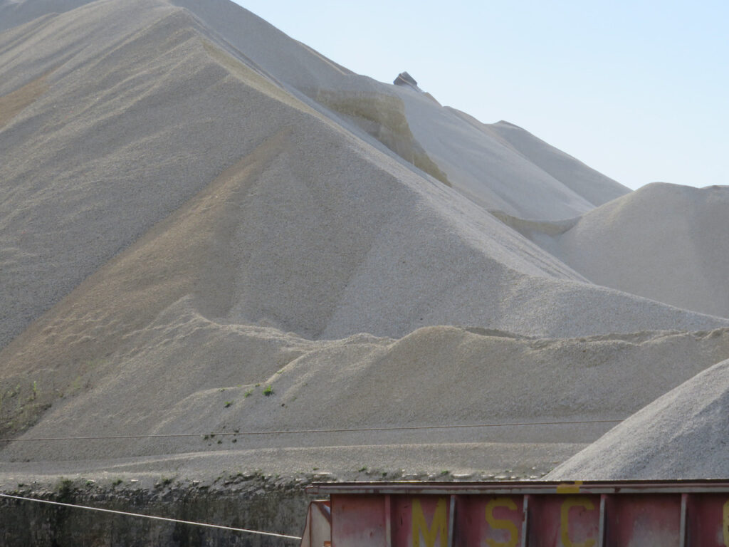
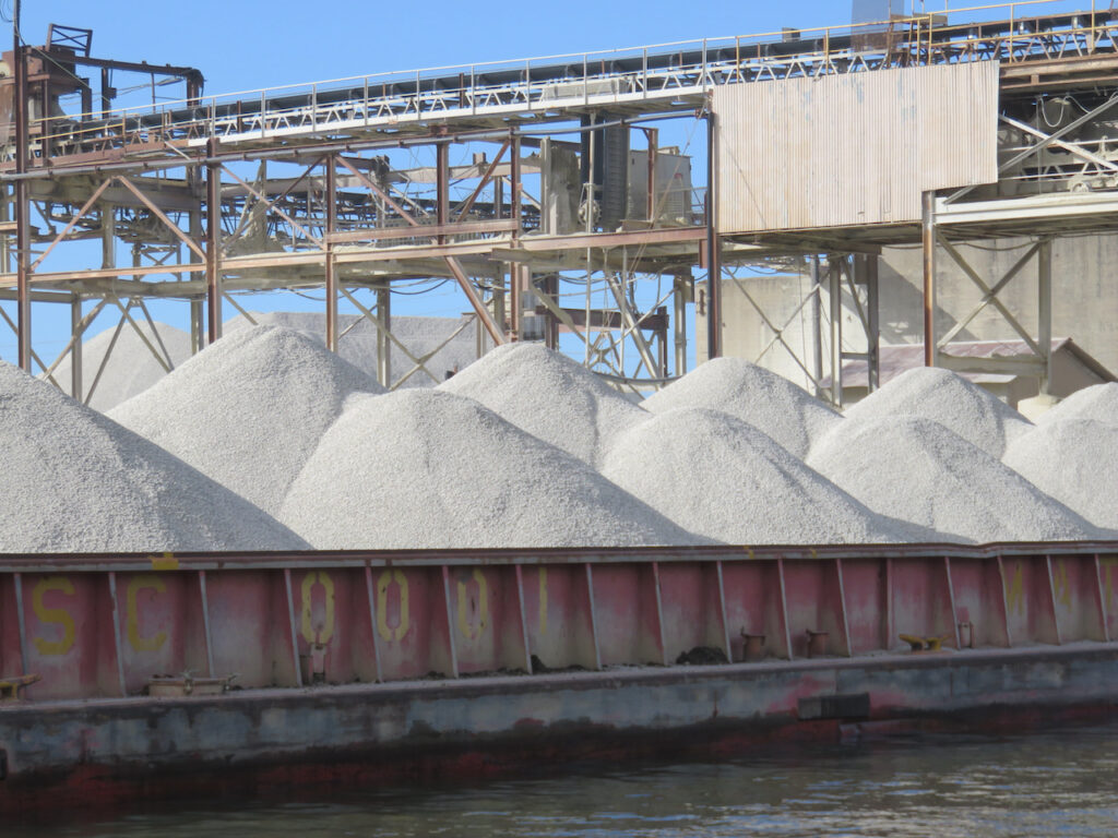
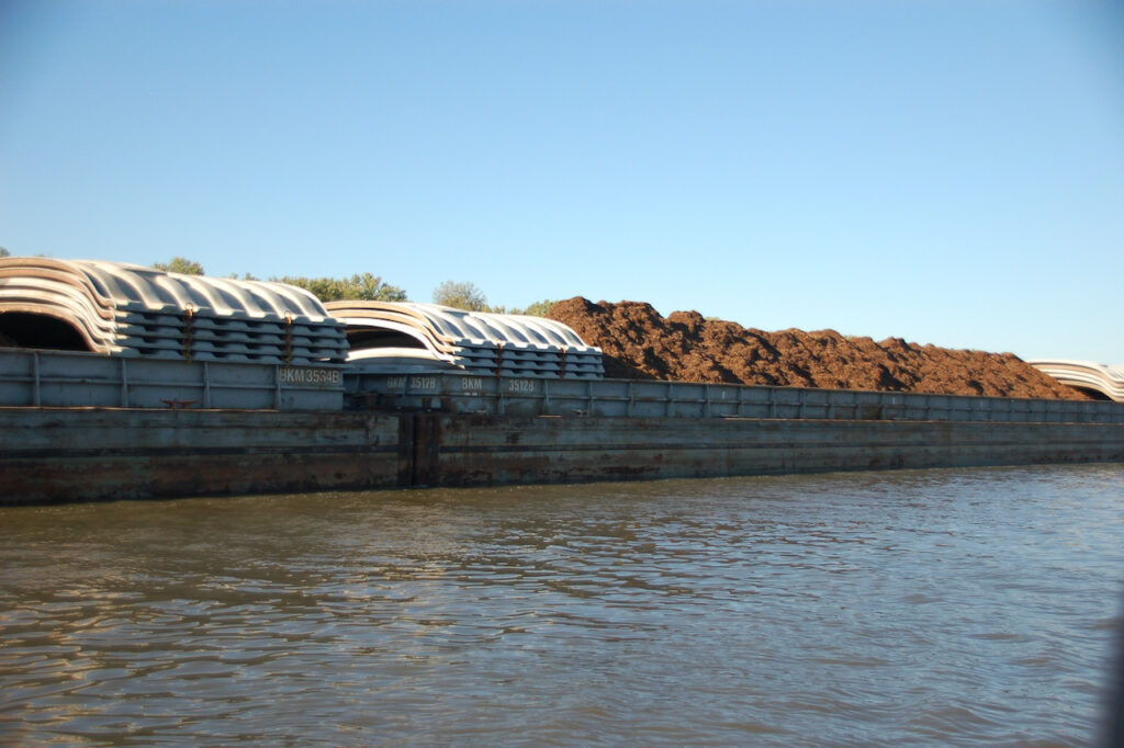
On the river, we see “warehouses & distribution centers”, this is stone but we have seen mulch and salt stored in this manner, as well.

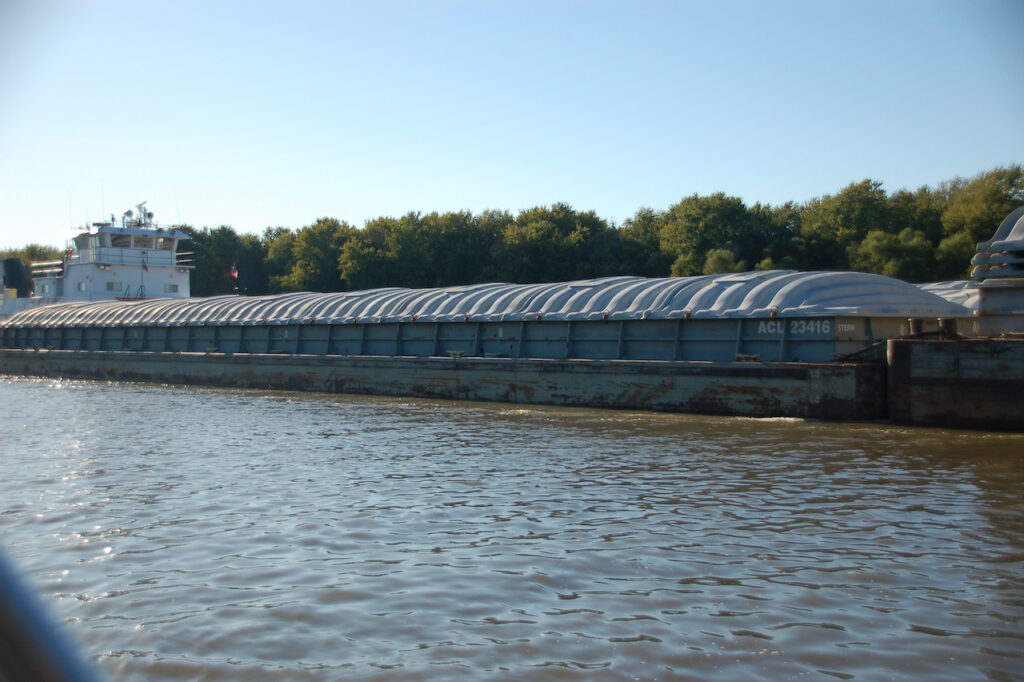
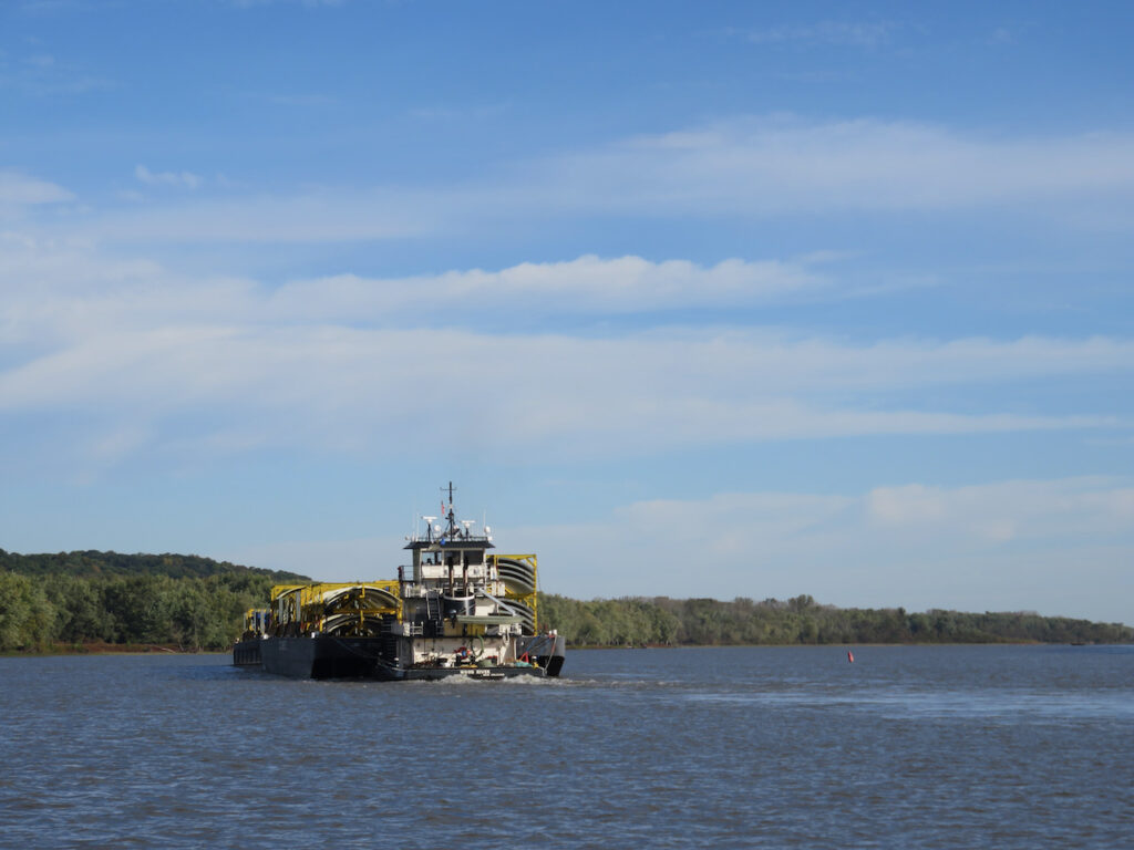
The key components in this system are the towboats. These little guys move the barges; empty ones around the processing plants and “warehouses” or full ones up and down the river. PS – the towboats do not actually tow anything… they PUSH. The largest tow we encountered on the Illinois River Waterway was 15 barges, 3 wide x 5 long… You saw our boat next to a 3×5 in the last blog entry, wait ’til you see us next to a Mississippi tow!😬
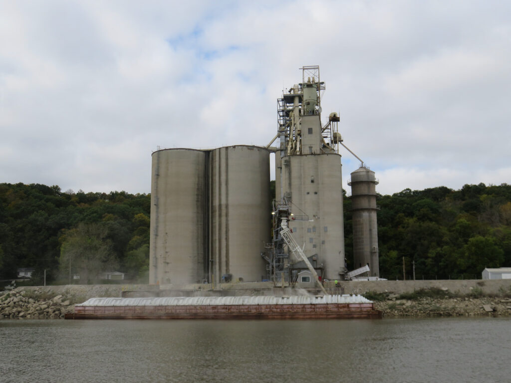
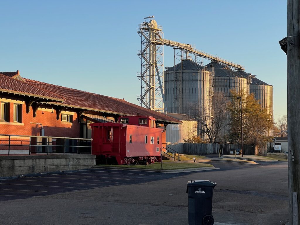
This is one of the grain storage facilities we passed. Seems to be a lot of shrinkage from this one, the others appeared much more efficient.
This was a processing plant for some sort of grain. The aroma upstream of the plant was of cinnamon, as we passed the plant, cereal.
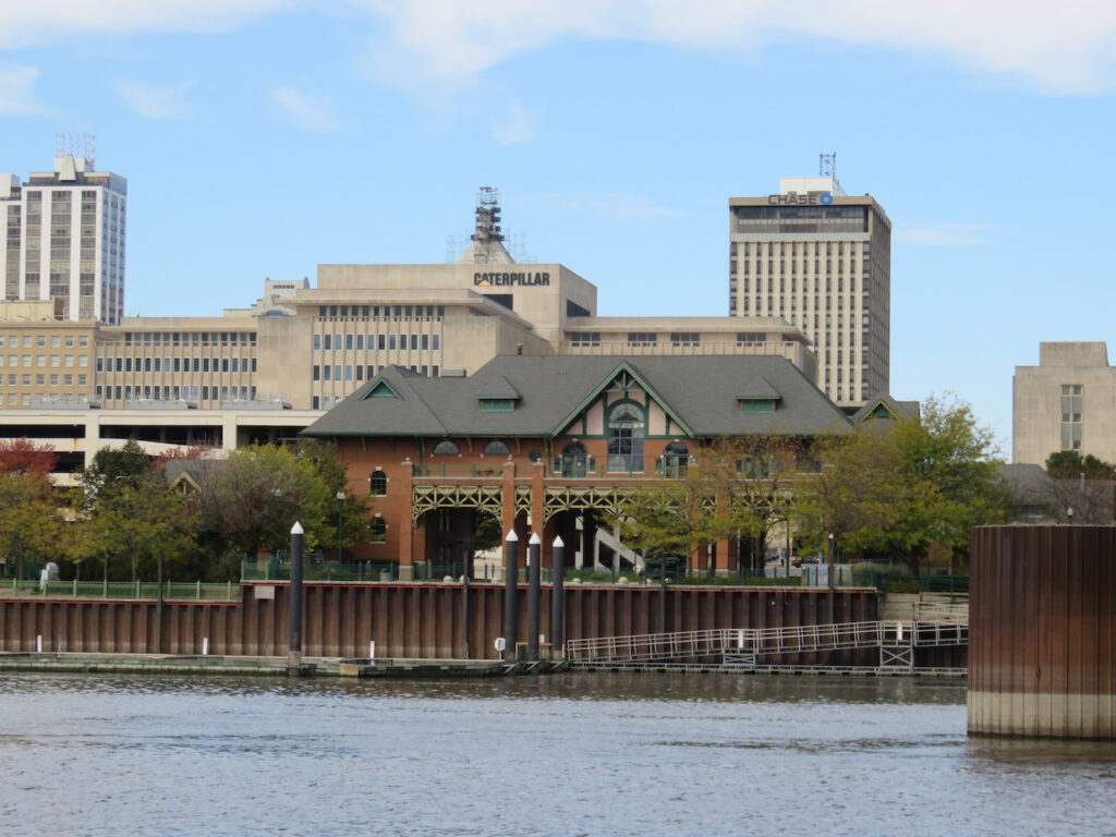
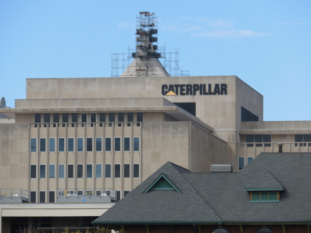
Peoria, Illinois was, until recently, the home of Caterpillar’s corporate headquarters; this is probably the most well-known company we passed.
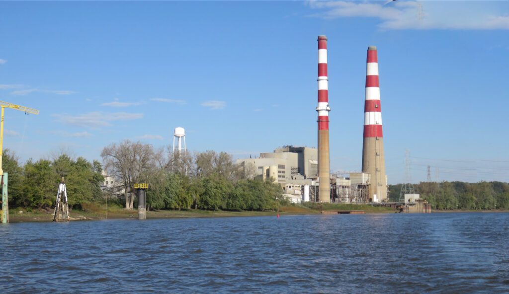
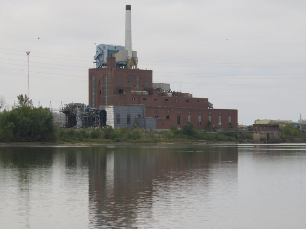
Then, there is all of the infrastructure required to support the raw material processing, transport and the employees these businesses employ. Power stations…
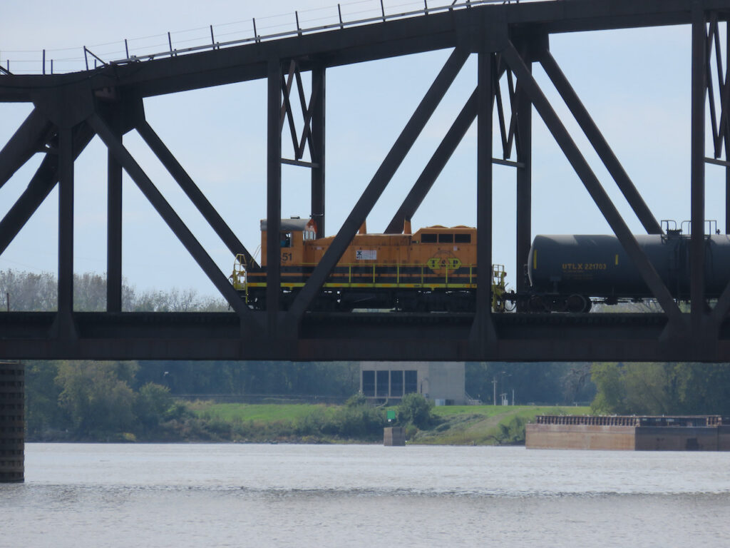
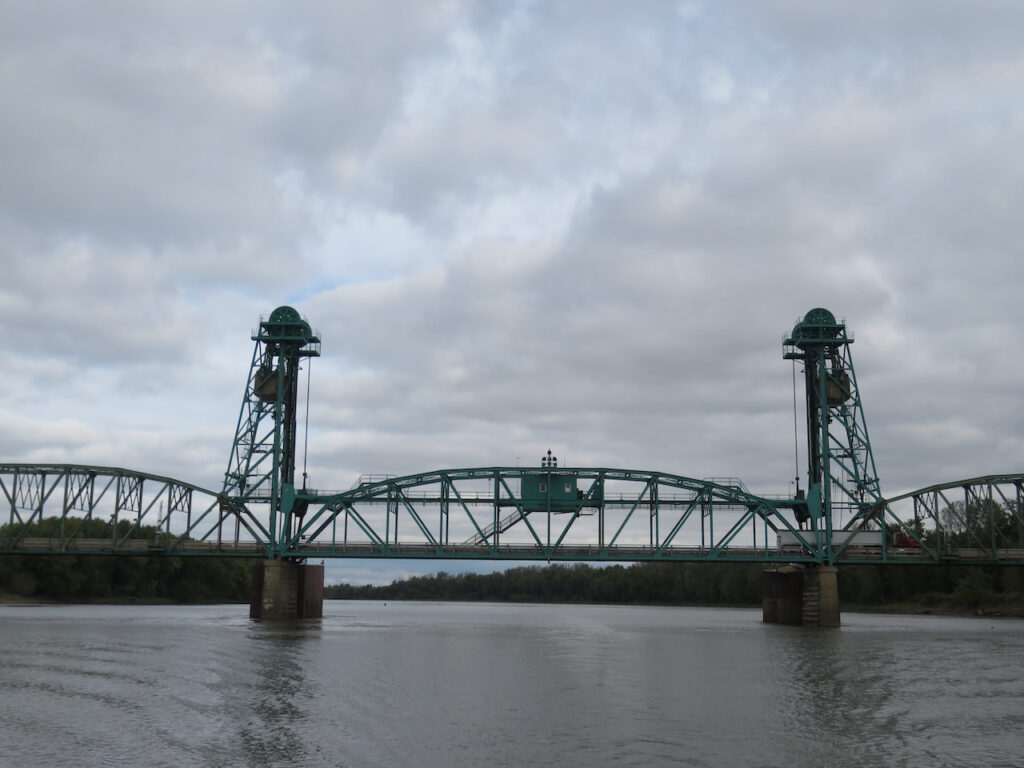
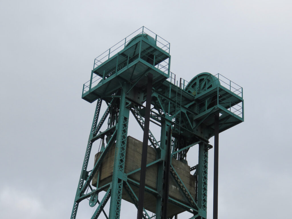
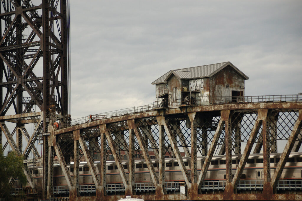
… railways and the engineers who lift the bridges for the barges…

… cell towers (not that we enjoyed any of those benefits on this leg 🙄)… 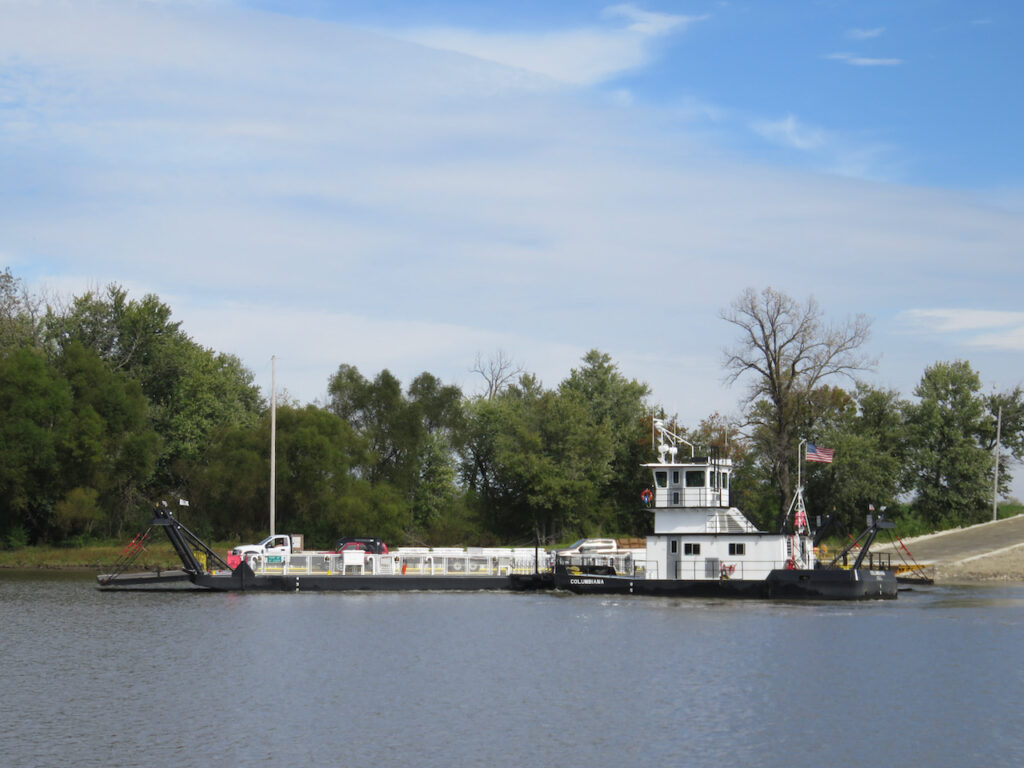
… the ferries which served in the place of bridges… 
… pleasure boats… … tiny towns and the bars and the one or two restaurants they supported…
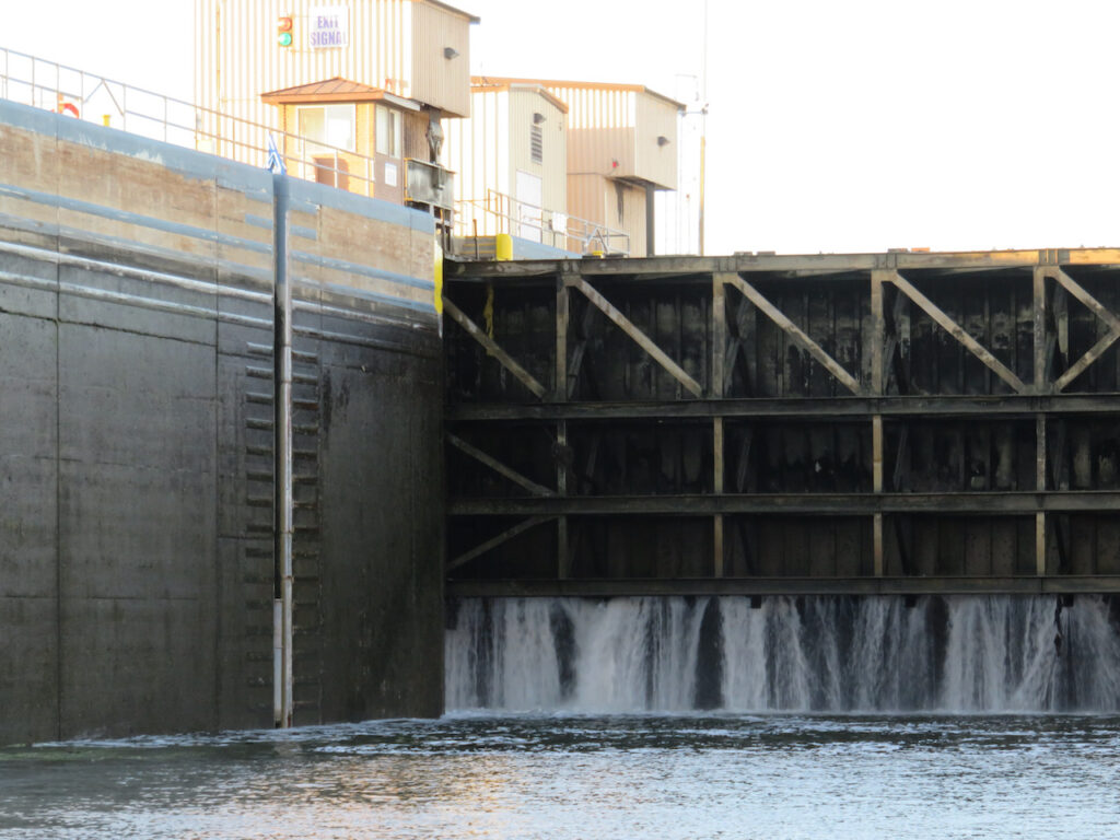
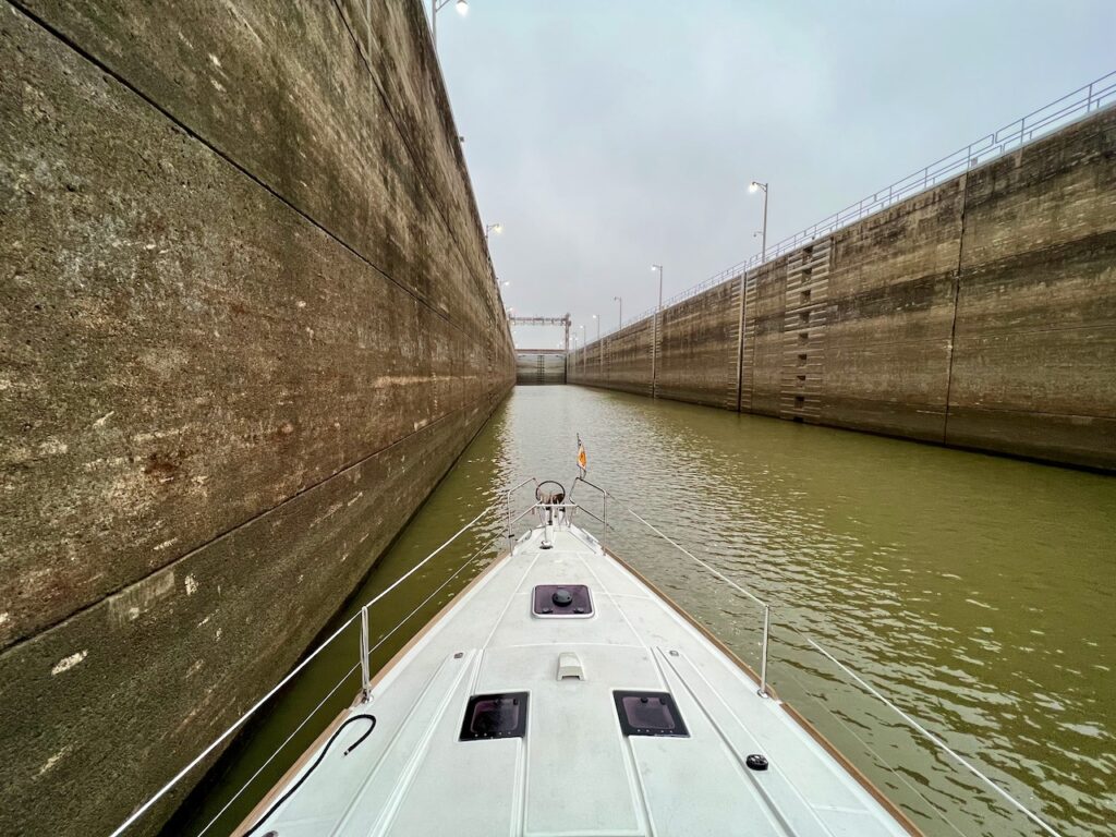
…and, of course, the Army Corp of Engineers and their locks. Without these partners in the supply chain, nothing, including us, would be transported down the inland rivers. - Toto, I’ve a Feeling We Are Not in Michigan Anymore…
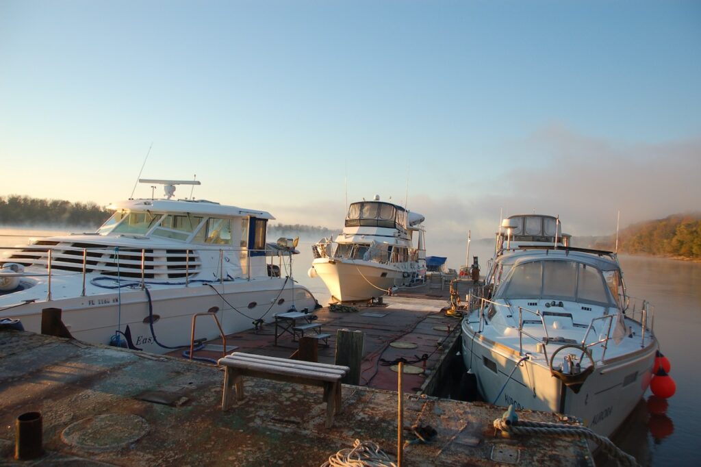
If I neglected to mention it earlier, the Michigan state marinas spoiled us (me) rotten; easy in and out, clean facilities, free laundry in some cases (!), relatively inexpensive and staffed by friendly, knowledgable people. Of course, DuSable in Chicago was most of these things (not the inexpensive part), as well, but the rest of our accommodations in Illinois have been, ummm, different.
Two of the anchorages have been spectacular and each of the little towns we visited had something we liked so I will stop with the commentary and comparison but you decide…
Joliet, IL
The wall in Joliet is free but it was in a section of town where there was not much else. On the other side of the river was a large casino but the nearest bridge was impassable due to construction. Not that we would have gone to the casino… 
… because we were busy trying to figure out why we seemed to have lost engine cooling. We found this in the engine cooling water strainer. Yikes!😳 Channahon, IL

Our first overnight on a fuel dock; our draft didn’t allow us to go any further into the marina. This place had a great restaurant, though! Ottawa, IL
Like Joliet, we stayed on another free wall in Ottawa. This time, though, downtown was immediately accessible. Ottawa was the site of the first Lincoln-Douglas debate and the first town we encountered on the Illinois River Road, a scenic highway running along the river, down to Havana. Depue, IL
Our first river anchorage; we tucked in just in front of the little island, out of the channel, but still on the river. This was the first place we needed to use a stern anchor to keep from swinging around the anchor on our bow. 
We did not visit the town but had delightful company the next morning. Henry, IL

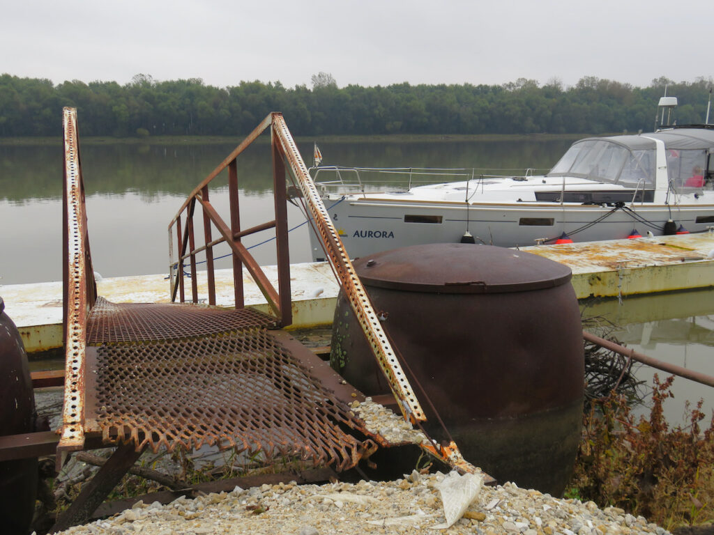
Our second fuel dock “slip”. Oh, and the orange box with the K is the pump-out station… 😵💫 This marina is in the development phase; a young couple bought the property and are working hard to develop it with little capital. Peoria, IL

We docked underneath the dam, next to the lock. Not my favorite… the tows run through the lock ALL night… Havana, IL
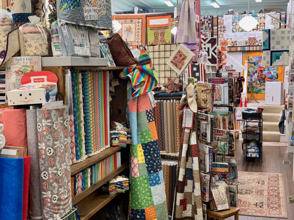
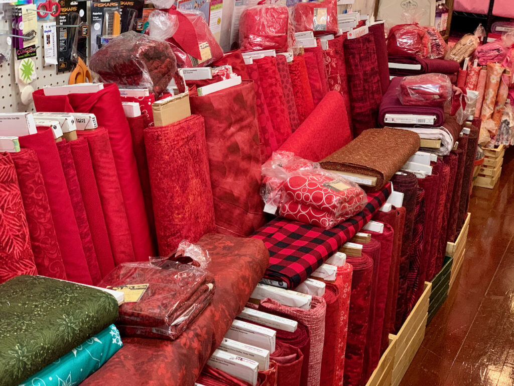
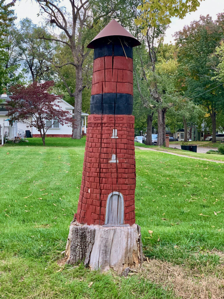
A GREAT anchorage… off the river, way behind the island with a dingy dock less than half a mile away. Havana is the end of the Illinois River Road and a lively little town. Plus, we had the best dinner on the Illinois River at Babe’s on Plum! ‘Grandma’s Got a Notion’ quilting supply store had a surprisingly large on-hand inventory for the size of the town and the historic water tower inspired a creative solution to the problem of a left-over tree stump!
Diamond Island, IL

We anchored in the dam pool of the LaGrange lock but I don’t have a photo for that overnight. Our water tank sloshed all night long from the current coming over the dam so we did not like that anchorage AT ALL. This is Diamond Island and it was a well-deserved reward for the night before. 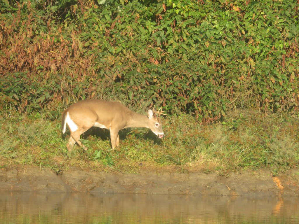
This guy had breakfast with us at Diamond Island! Hardin, IL
Not even sure what to call this… no pump-out or fuel dock, just a spot deep enough and securely tied to the bank of the river.
The best part of Hardin was the bicycle ride we took to get our first glimpse of the Mississippi. Hardin is pretty much the last town before the junction of the Illinois and the Mississippi. Grafton, IL

Another fuel pump/pump-out slip in Grafton. We tried to get into the slip they assigned, A1, but got stuck. Seems they did not know their depths although we called that morning to confirm 6’+. 🙄 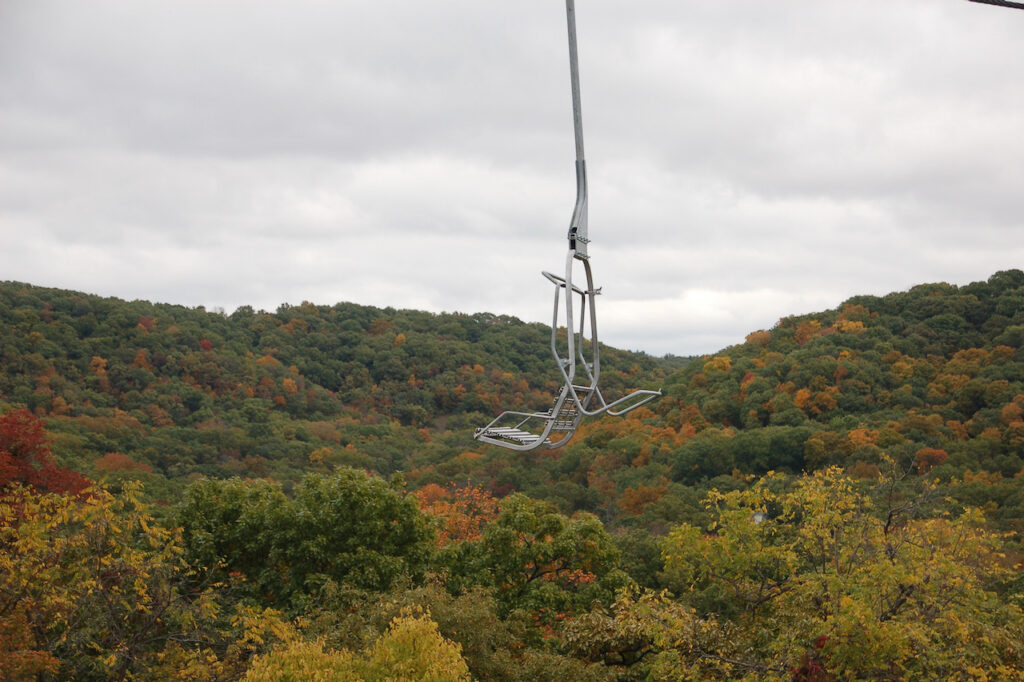
Grafton did have this cool chairlift/gondola ride you could take to a nice restaurant at the top of the hill, though. The ride was closed so we walked; the views were spectacular and the pizza was delicious. 
And, finally, we have arrived at the Mississippi River. And, finally, we have the beginning of what we know as autumn! This is mile 0 of the Illinois and mile 218 of the Upper Mississippi. - A Furlough and An Accomplishment
What was supposed to be only a 4 day hiatus turned into a month long furlough for me and required Christian to move the boat, alone, from Grafton to Memphis. I would love to post pictures of the reason why but have neglected to get Elias’ approval to do so… and new grandparents do not want to start off on the wrong foot! 🤗🤗👶👍💃☺️
Christian was kind enough to document his journey in pictures for us… A solo journey on the Upper Mississippi is quite an accomplishment so we will forgive him the lack of editorial. I will add color where I can but full disclosure, I was not here…
The flotilla from Grafton to Paducah; Christian’s traveling companions turned off at the Ohio to make their way down the Tenn-Tom route but he had company for the first three days. 

The famous Hoppies stop… I am truly sorry to have missed this as it is legendary among the Loopers. 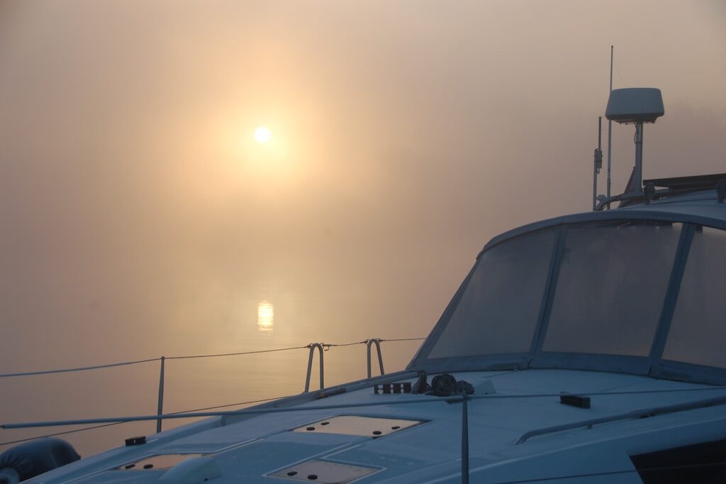
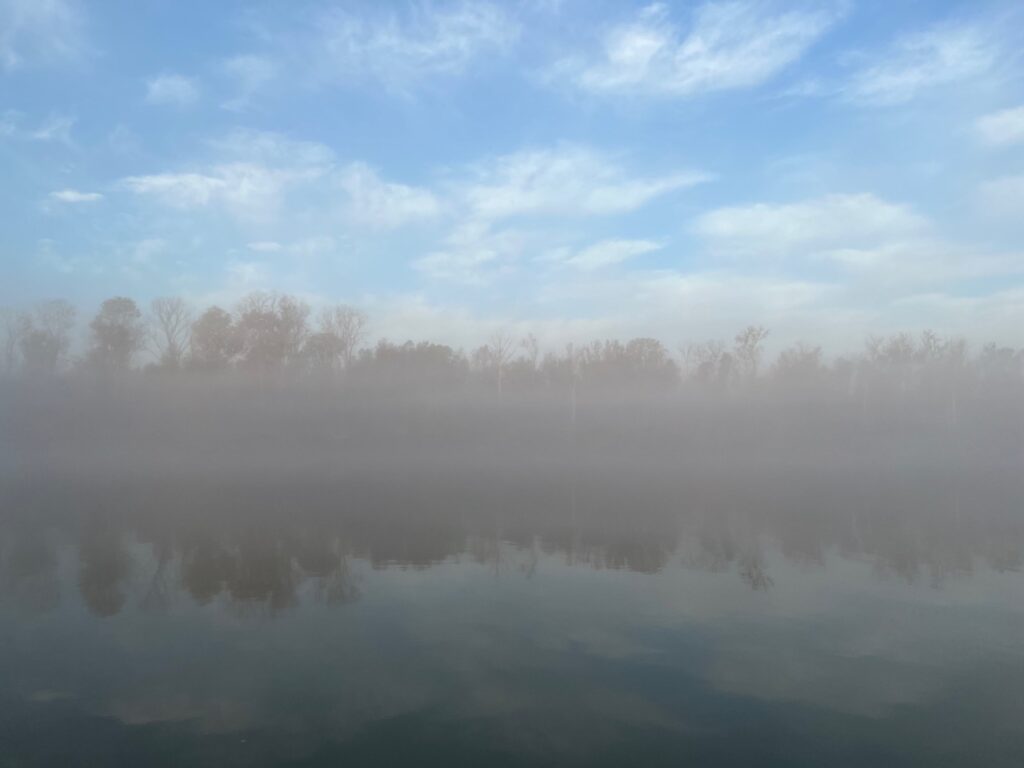
There was a very dicey start one morning – fog! This is hard with two sets of eyes, a major feat alone! 
See you in… wherever! 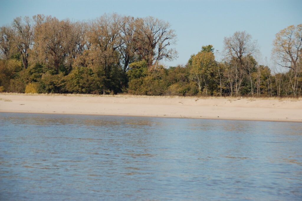
A tow head; these are Mississippi River features made famous by Mark Twain. Huck often landed his raft on a tow head and Jim hid in among the trees when necessary. 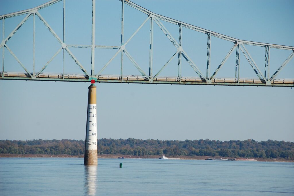
Please make note of the gauge which marks swings in the rivers depth… and notice how low it is currently. 
The Mississippi River current added 4-5 mph of speed to Christian’s travels. We plan the day’s trip, normally, using 7 mph as travel speed. It is completely conservative to use 10 mph descending the Mississippi and Christian reported he saw 13 one time!🚀 
The big boys are ALOT bigger on the Mississippi… 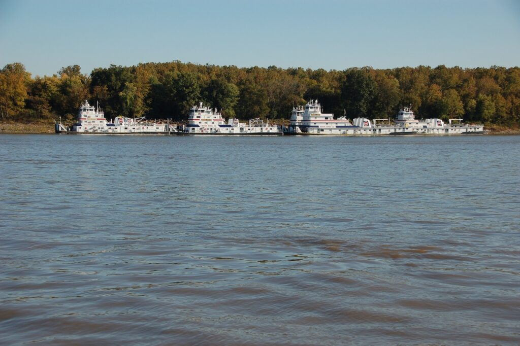
A gaggle of tows. The Mississippi has no pleasure boating infrastructure to speak of so overnights stops are slack harbors (inlets where barges are loaded or tows are staged) or sides of the river where the bends are wide and the current is low.
This geographical feature was most likely produced by barges parked on the river. The tows beach the barges on the tow heads… 
Very little in the way of development along the banks of the river… 
… but interesting nonetheless. 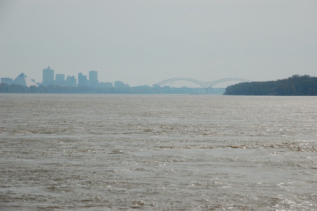
The Memphis skyline - The Lower Mississippi Bridge Towns
There are surprisingly few bridges over the Lower Mississippi River. They are located at the important (or formerly important) towns on the river and were natural stops for us.
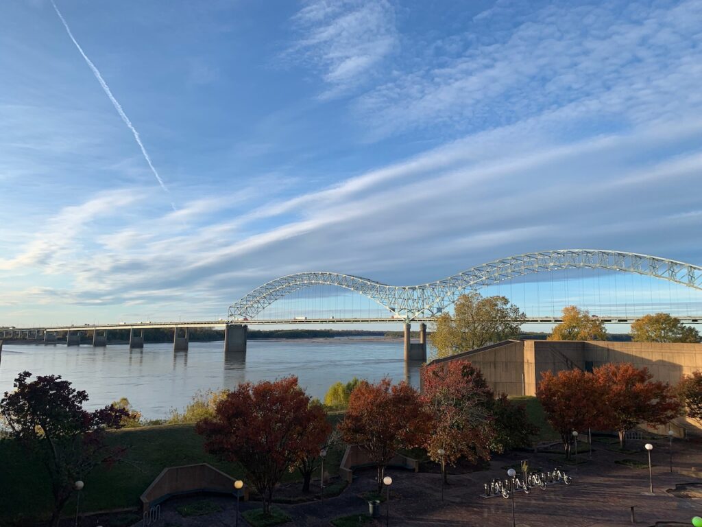
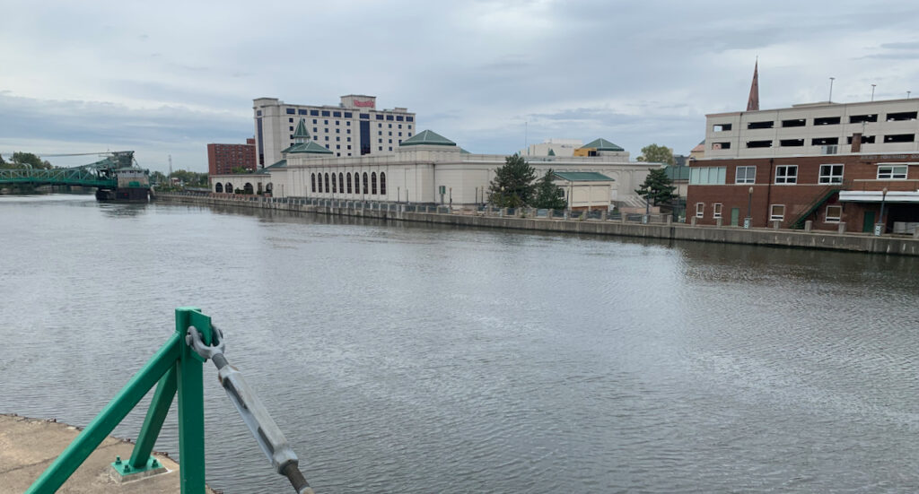
Memphis, TN
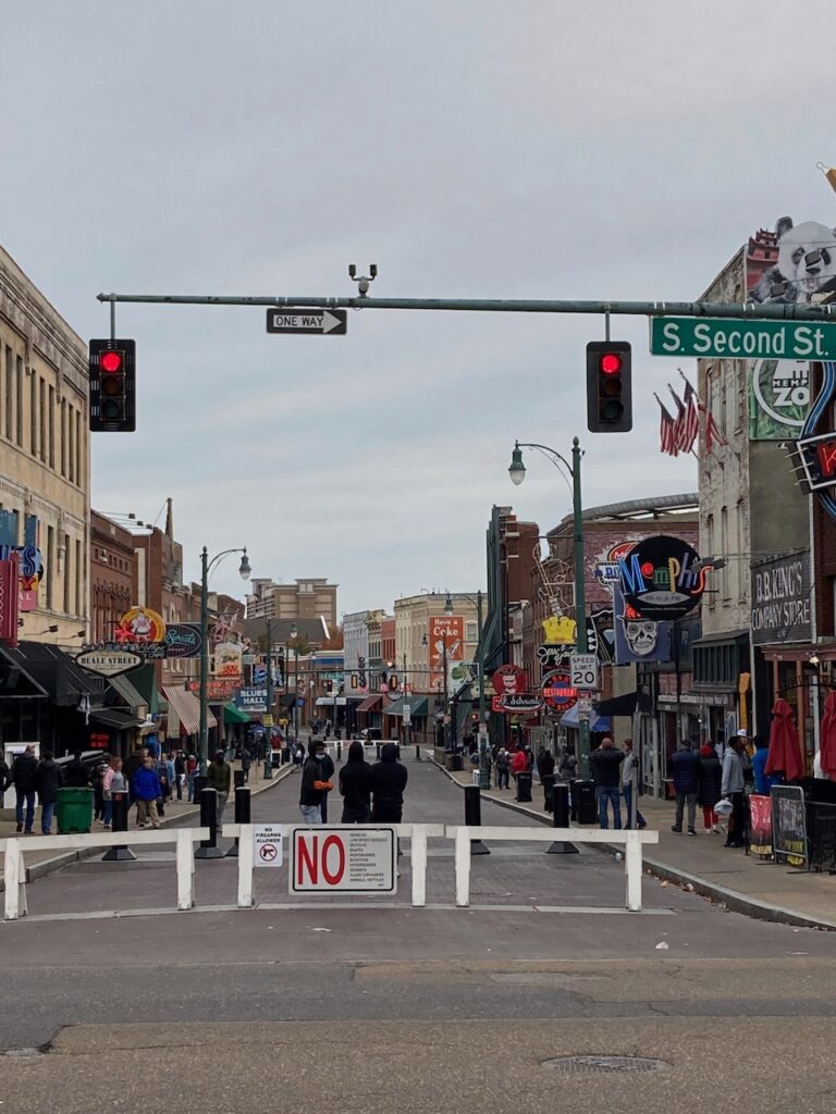
Memphis is the largest of the Lower River towns we visited; it is a vibrant, colorful city and we enjoyed the barbecue, blues and Beale Street.
Memphis actually has multiple bridges spanning the Mississippi. On the left the I-40 interstate bridge and on the right the pedestrian bridge to Mud Island.
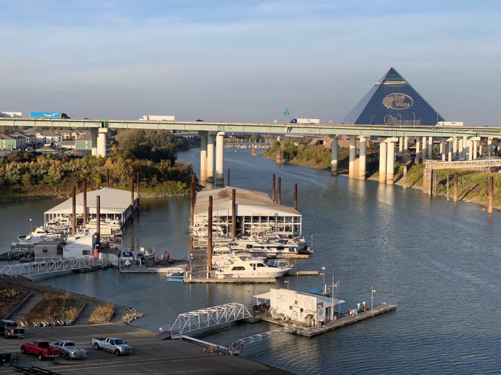
The Memphis Yacht Club, Aurora’s berth for the week we were in Boston, was on Mud Island. The pyramid in the background is the world’s largest Bass Pro Shop! Beale Street and the South Main shopping district.
Mud Island Park’s Riverwalk. This is a model of the Mississippi River from Cairo, Illinois to the Gulf of Mexico. The model includes the river’s meanderings, towns and the bridges spanning the river. It is 2000 ft (600 m) long with a scale of 30 inches to a mile (1:63360). The last image is our destination, New Orleans, represented in the model.
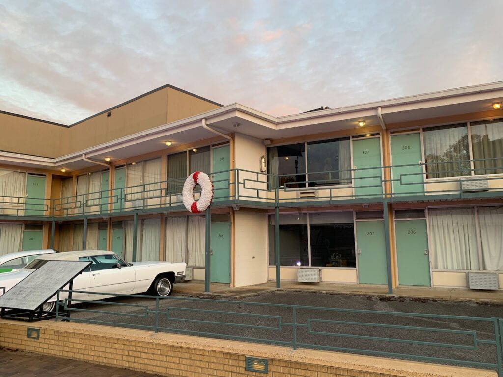
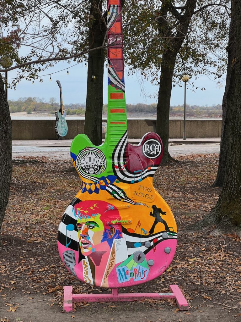
The Lorraine Motel and the balcony where Martin Luther King was assassinated. The motel is now part of an exhibit in the National Civil Rights Museum. The museum exhibits document the history of slavery and the on-going struggle for civil rights in the US. The exhibits are detailed and dense; we didn’t get through everything but what we did see was sobering. Memphis, home of the Memphis Blues🎷🎷🎷

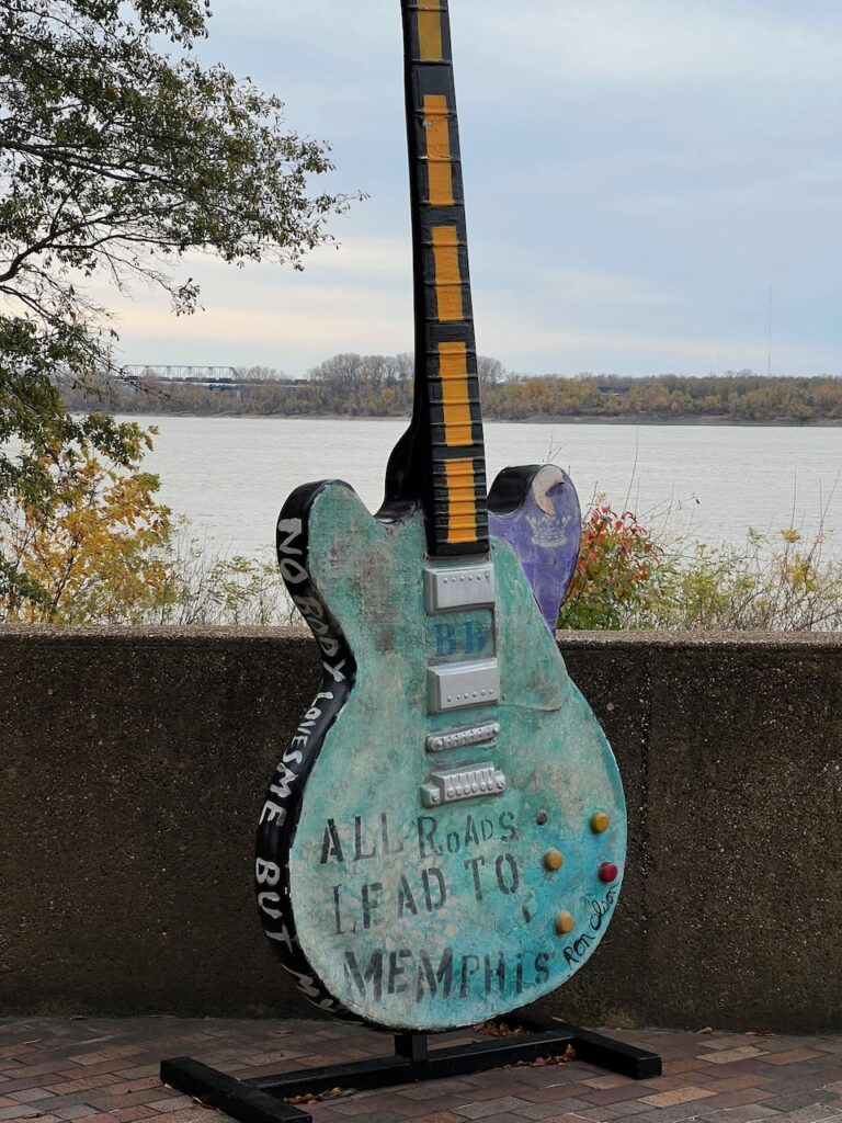
The Rum Boogie Club also had “art guitars”. Hanging from the ceiling were all sorts of guitars autographed by famous (and maybe not so famous ’cause some I had no idea who they were) clientele like Doug Flutie! These guitars were given to their guests to sign but they also had guitars owned and autographed by professional musicians displayed in cases on the walls. 
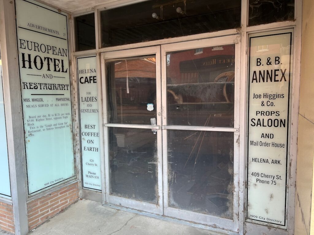
This unfortunate irony will be a common theme… Helena – West Helena, AR
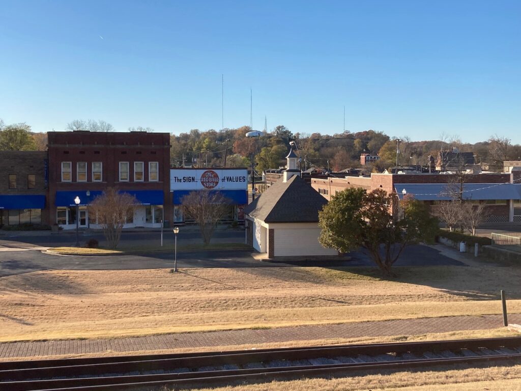
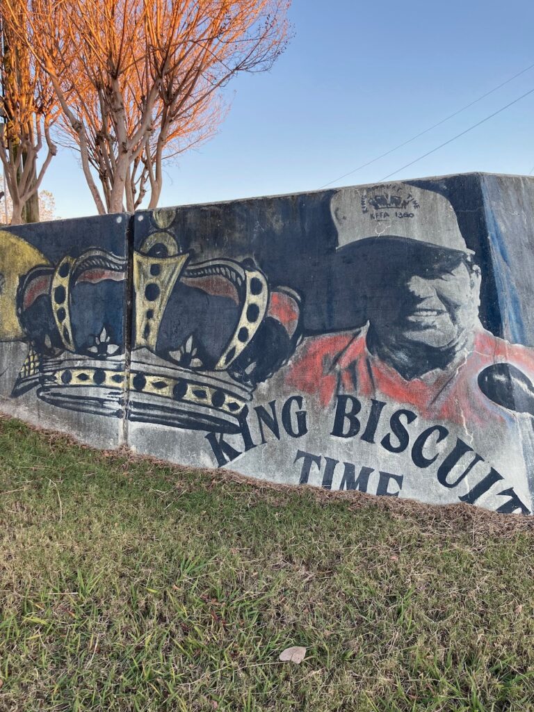
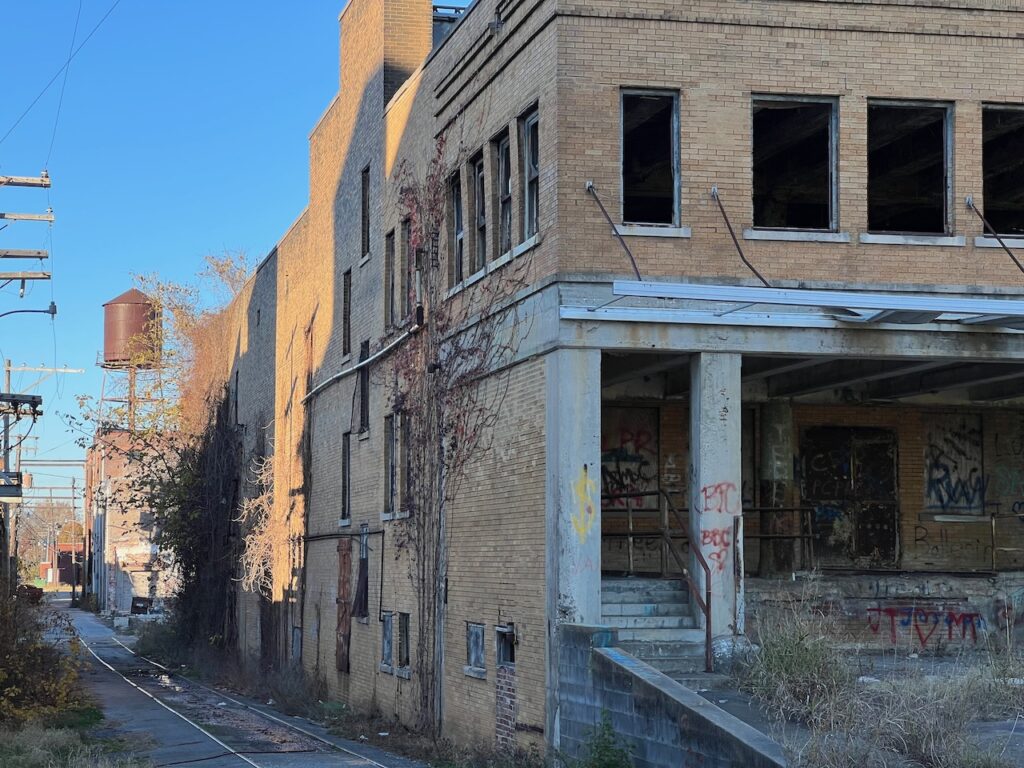
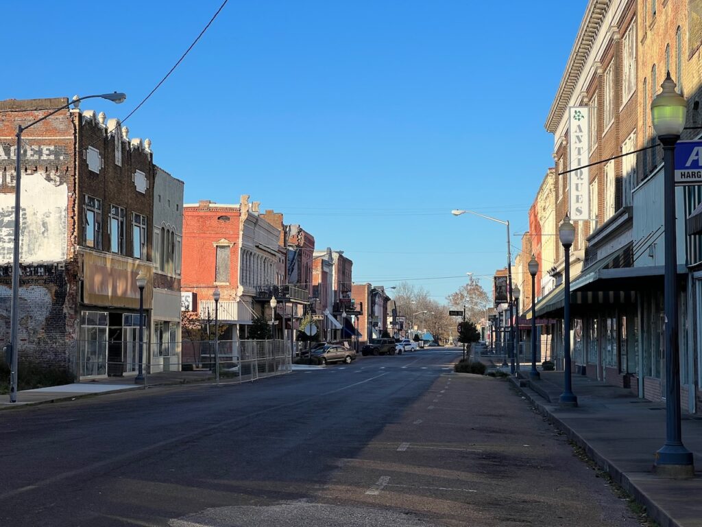
Helena was once the seat of the highest cotton producing county in the US. It is the birthplace of Conway Twitty and Sonny Boy Williamson. The annual King Biscuit Blues festival is held here every October and 30,000+ blues fans bolster the local economy for four days. (Helena is home to radio station KFFA; the original King Biscuit Hour was broadcast from here.) Today, Helena is a shadow of its former self. To be fair, we visited on a Sunday, but it was as if we stumbled onto a movie set during off hours…

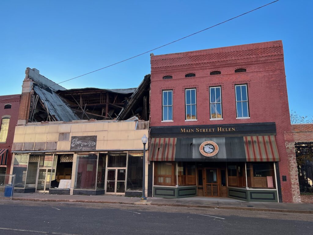

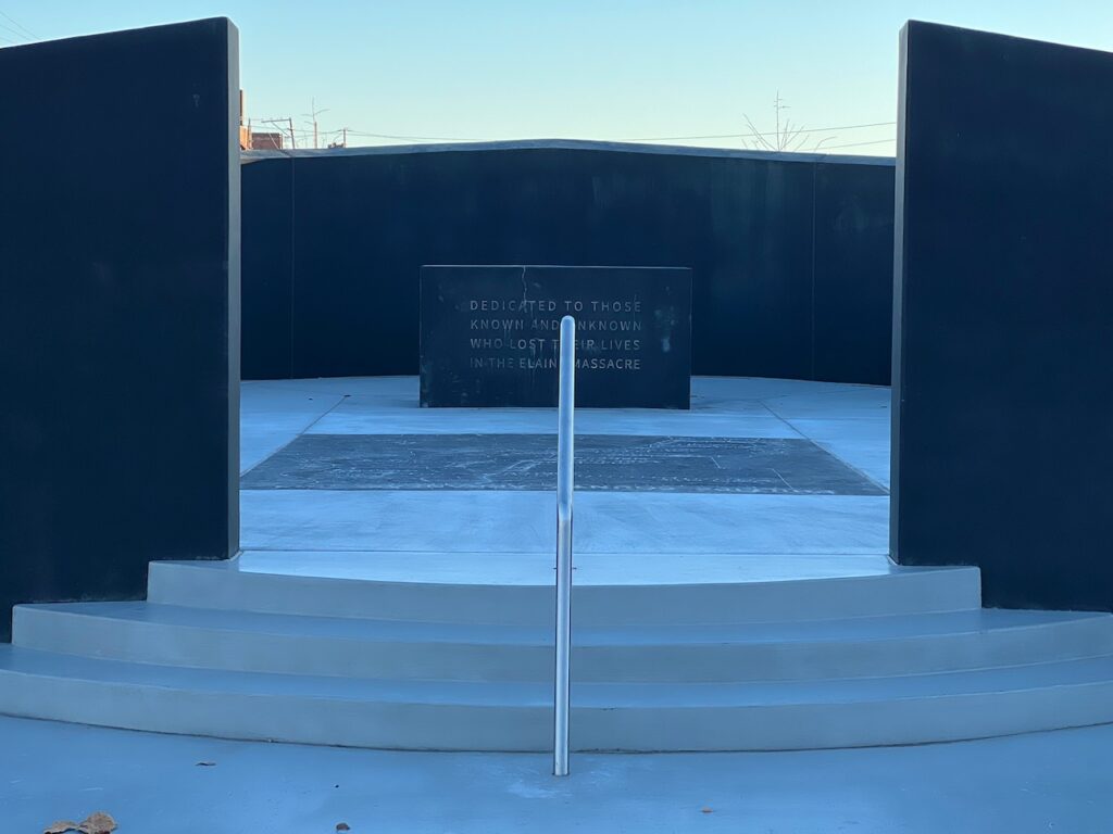
There is a small, neat park at the end of Cherry St which dispelled a bit of the gloom… until you googled “What was the Elaine Massacre?”. The image on the right is a memorial to the victims of the massacre. From the memorial alone, unless you had previous knowledge, you would never know it was the largest race riot in the history of the US.


We left Helena-West Helena more aware of the havoc the loss of economic activity can have on a community. We saw this played out in upstate New York but, moving quickly into the tourist infrastructure of the Erie Canal, quickly forgot the dismal places. Here, in the middle of the country, you get reminded almost every day.
Greenville, MS
Greenville is another struggling river town. At one point, Greenville had a large marine industry servicing the tows and barges that run the river. The Carter administration’s Soviet Union grain embargo wiped out many of the players when grain transport for export was halted. Today there is only a single service still in operation. The Delta Blues scene was also a vibrant component of life in Greenville. Nelson Street was once lined with music venues like Beale Street in Memphis. Doe’s Eat Place, on Nelson St, was one of the blues clubs but continues today only as a restaurant, one the few remaining in town.
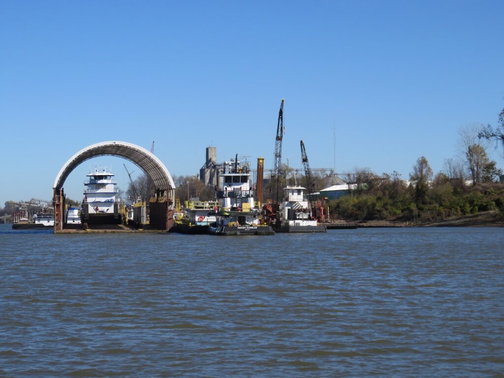
A tow in dry dock at the remaining marine service company. 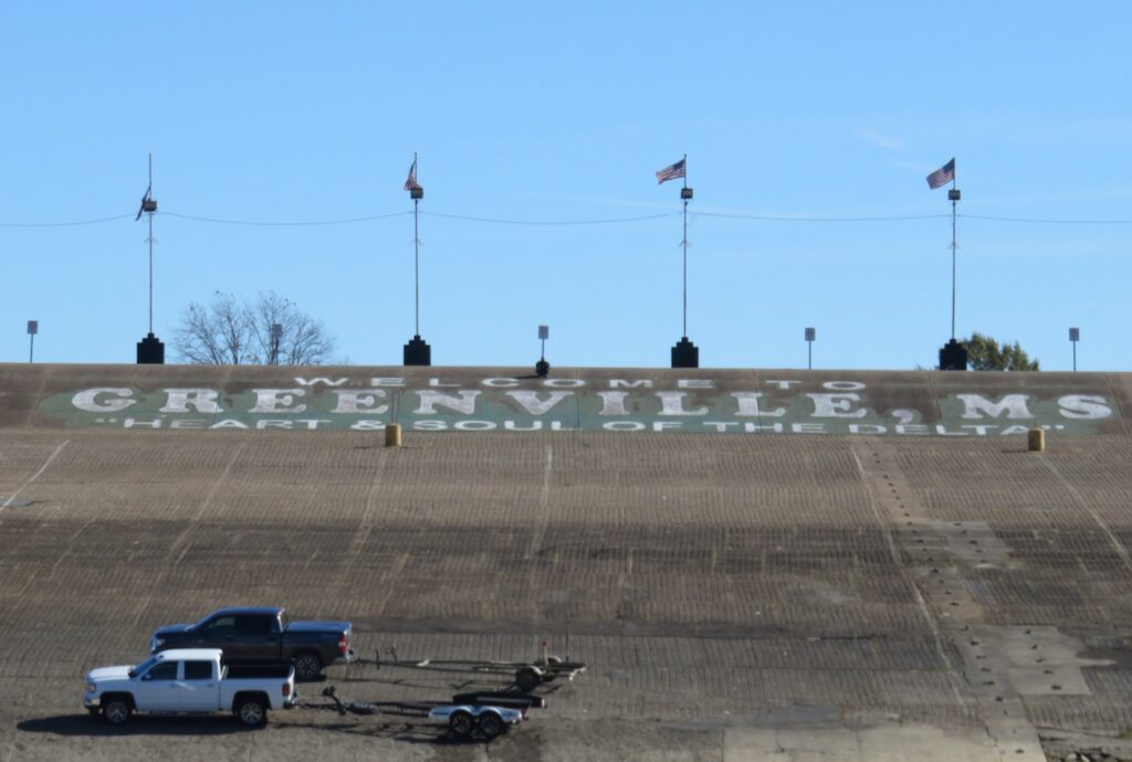
This is the town boat ramp, sized to accept the Mississippi cruise ships. You will see the same in Vicksburg. 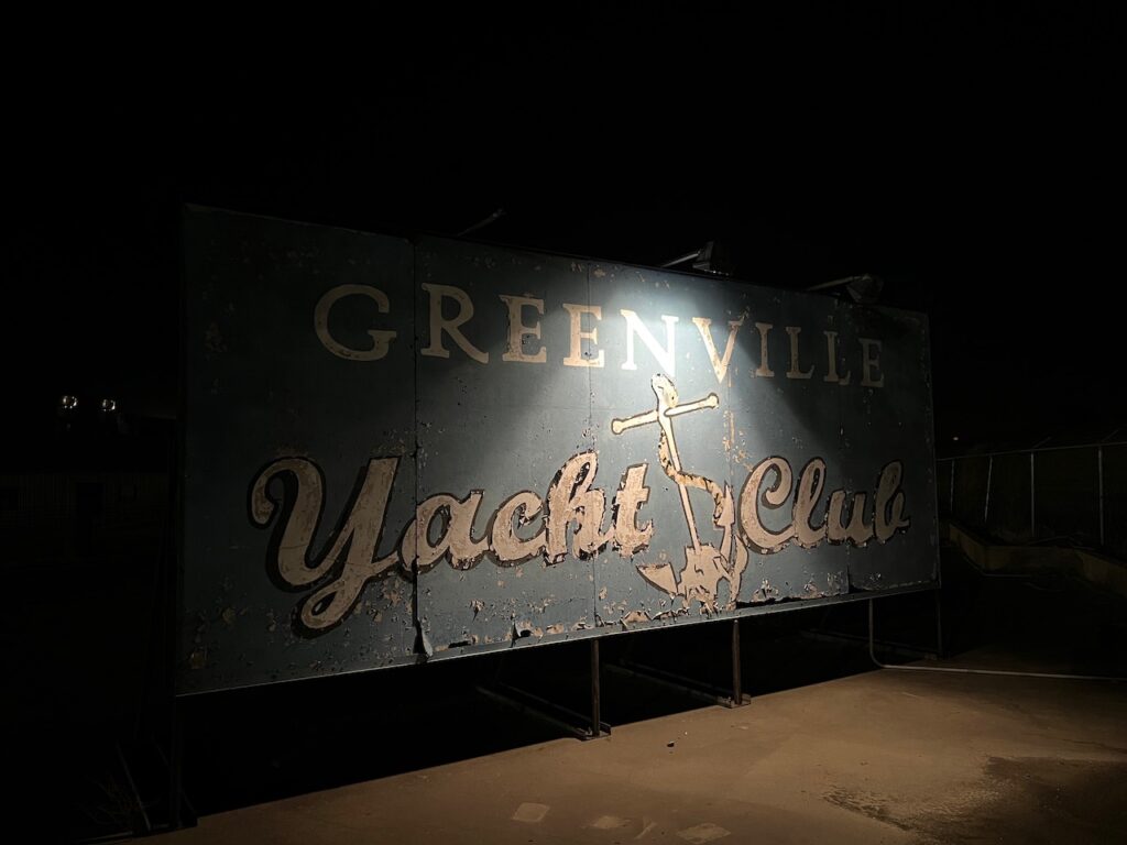
We had a slip here and Hal, the commodore of the yacht club, could not have been nicer. 
Two $64.00 rib eyes at Doe’s Eat Place. 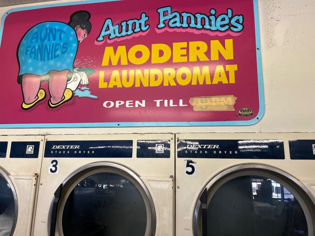
Peter, Cindy and Kristen met us, again, on this southern loop and were kind enough to take us shopping, to the laundromat and site seeing in Cleveland, MS (45 mins east of Greenville). 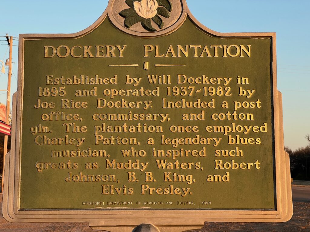
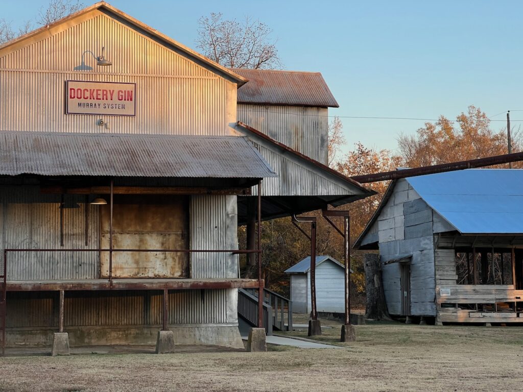
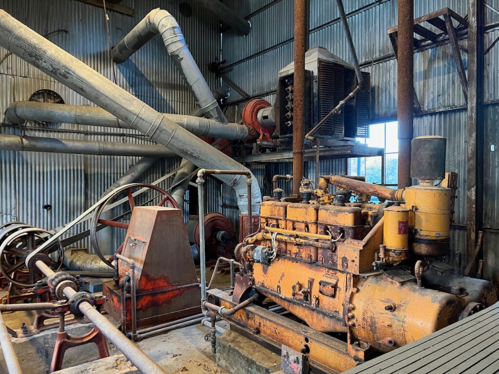
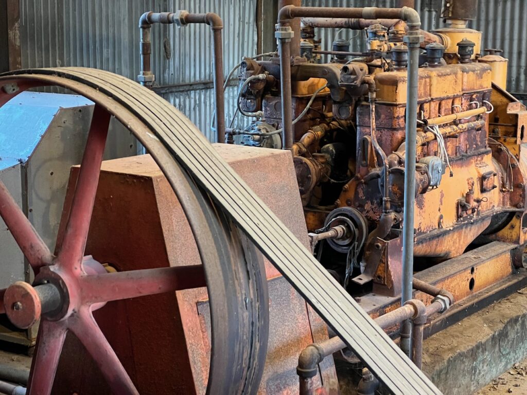
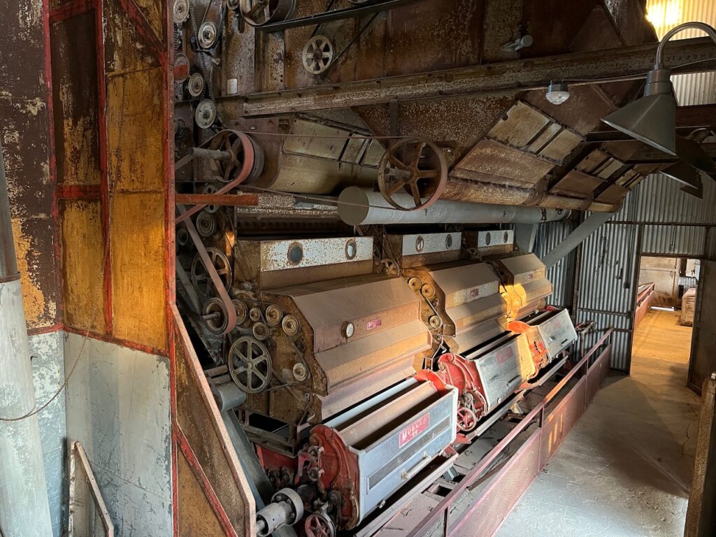
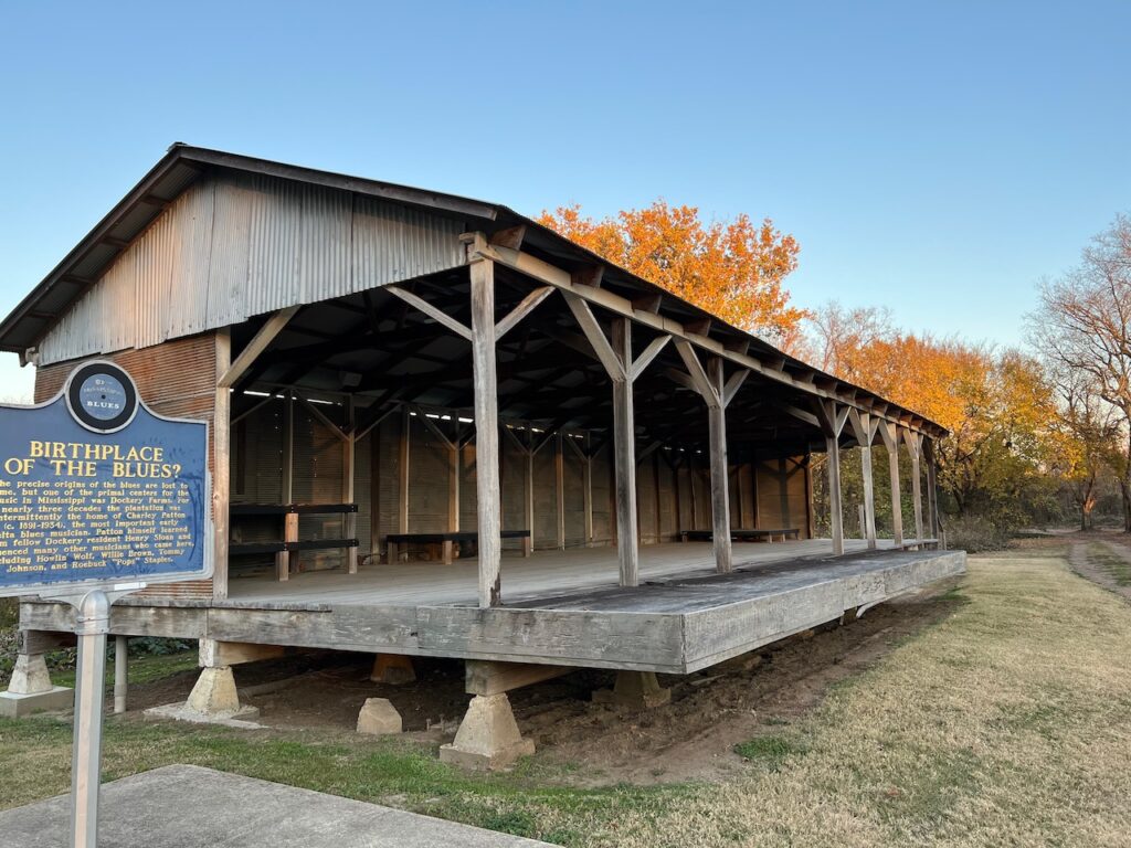
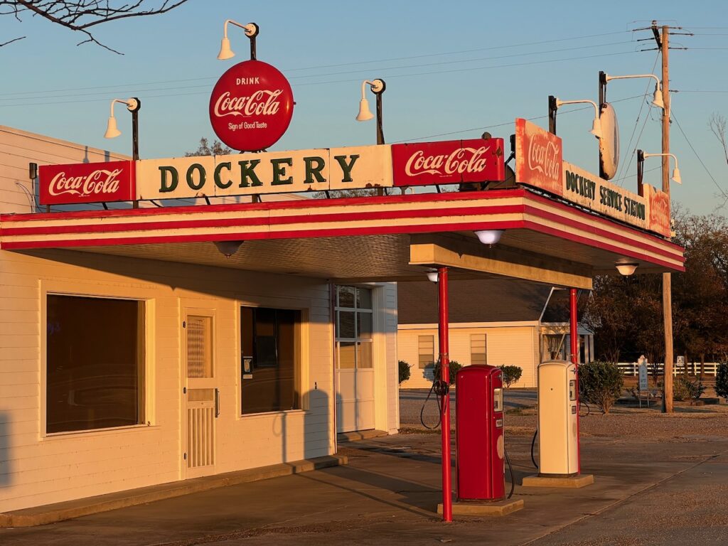
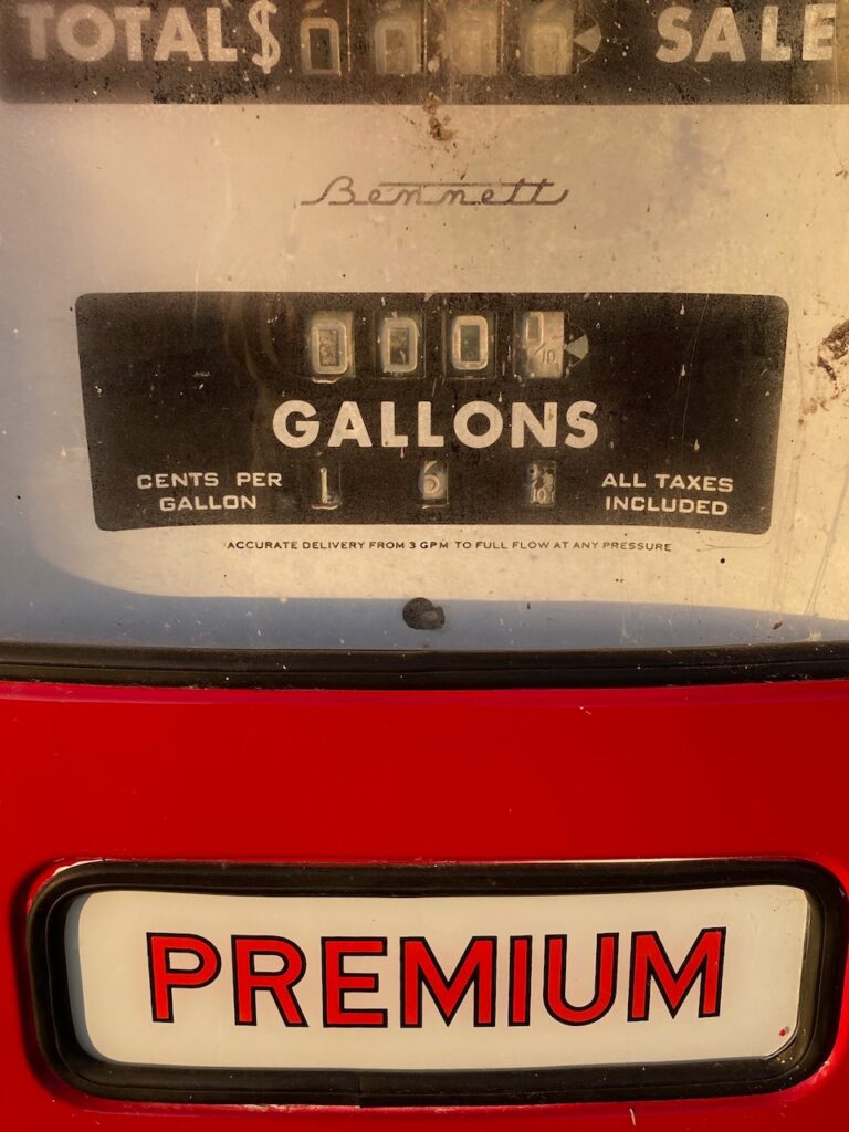
We stopped at Dockery Plantation on the way back to Greenville. The plantation was extremely well maintained and the inside workings of the cotton gin were fascinating. Check out the price for Premium at the gas station!!!😆 Dockery is also reported to be the birthplace of the blues; Charley Patton lived and learned his craft here.

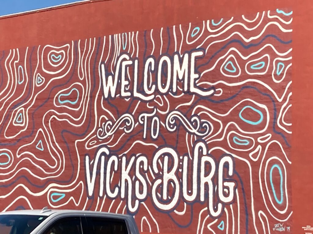
Greenville’s Route 82 bridge. Vicksburg, MS
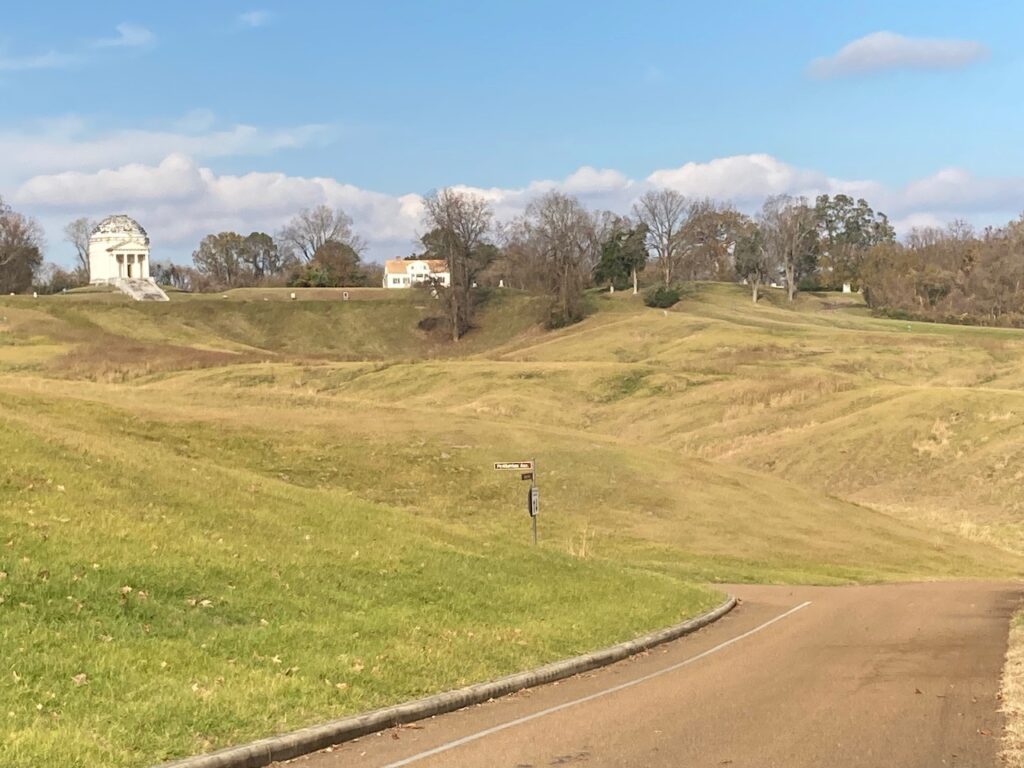
All of the marketing material and tourist info we saw refer to Vicksburg as “The Key to the South”. The moniker was earned when Lincoln referred to Vicksburg’s strategic importance for Union victory during the Civil War and remains relevant today with the well-preserved historical and cultural attractions. Vicksburg is home to the National Military Park, which commemorates the battle for Vicksburg, and the Jesse Brent Lower Mississippi River Museum, which showcases the river and the Army Corp of Engineers efforts to mange it.
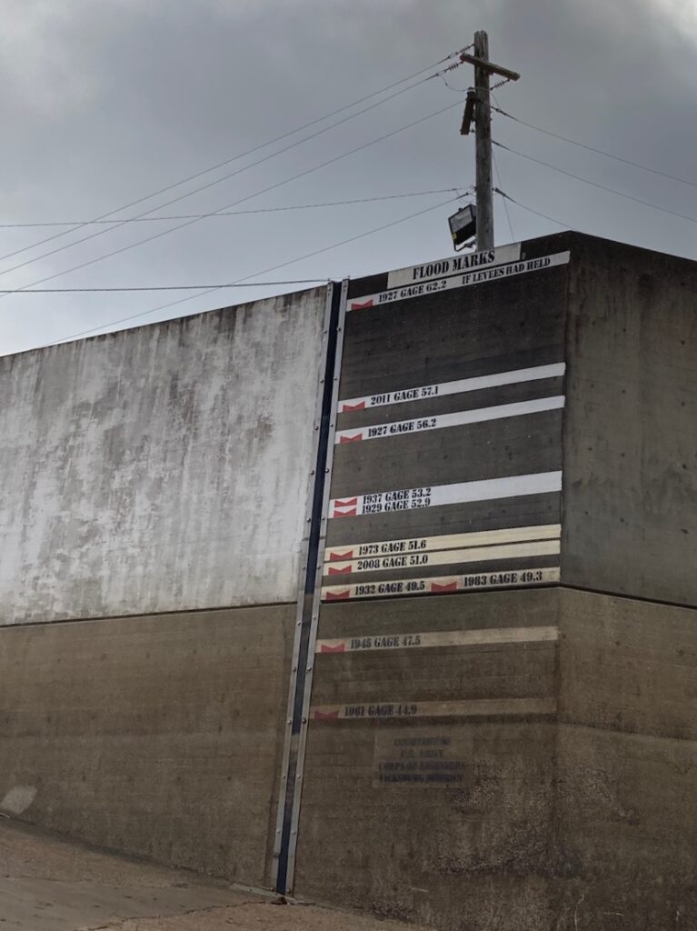
The Army Corp maintains this history of flooding in Vicksburg at the town dock. Much of the Lower Mississippi Museum explains the Corp’s work to mitigate flood damage and control the course of the river. In 1927, 27,000 square miles of the delta were flooded and more than 200,000 residents were displaced when the levees collapsed. Even with improved flood control measures, you can see from the gauges the river’s rise in 2011. 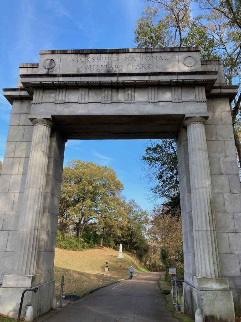
The entrance to the National Military Park. 
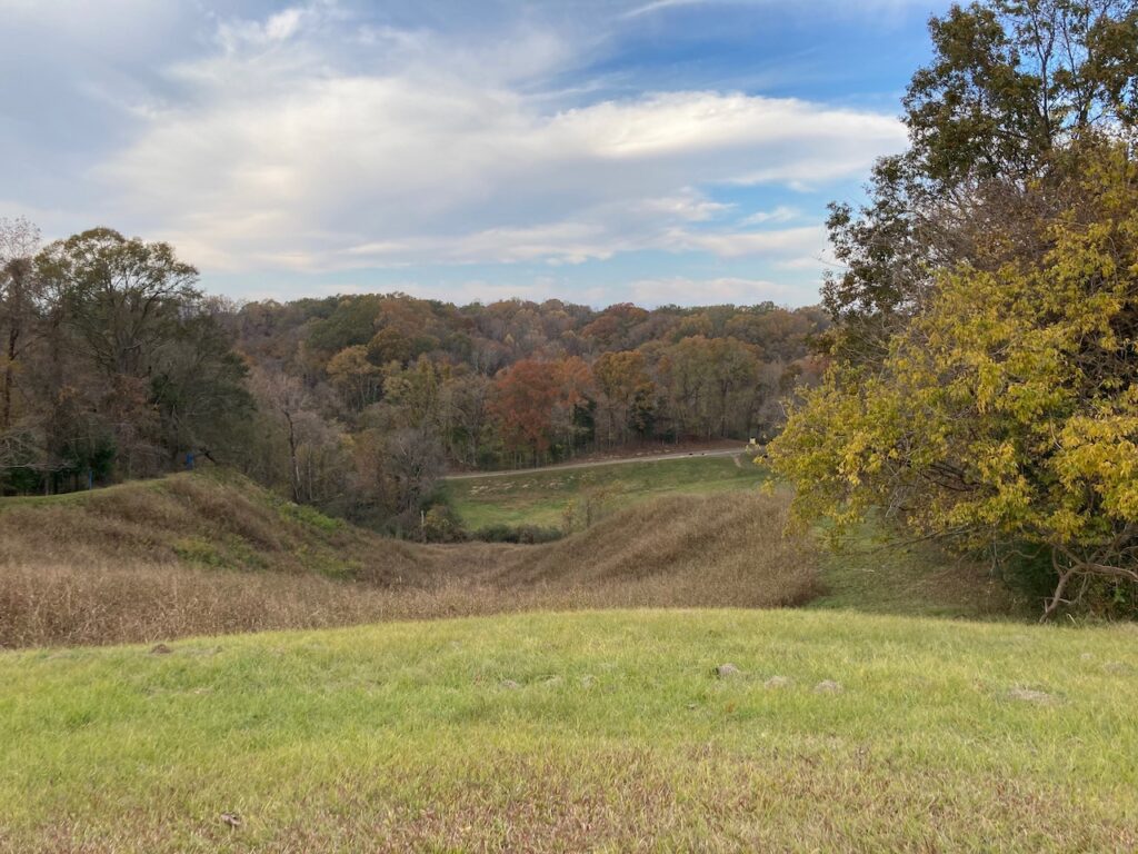
The Union and Confederate lines are documented with blue and red plaques throughout the park. In some places, the lines are only a couple of feet apart… Also, this was all farm land before the battle and, like most all of the Delta farm lands, probably cleared by hand.
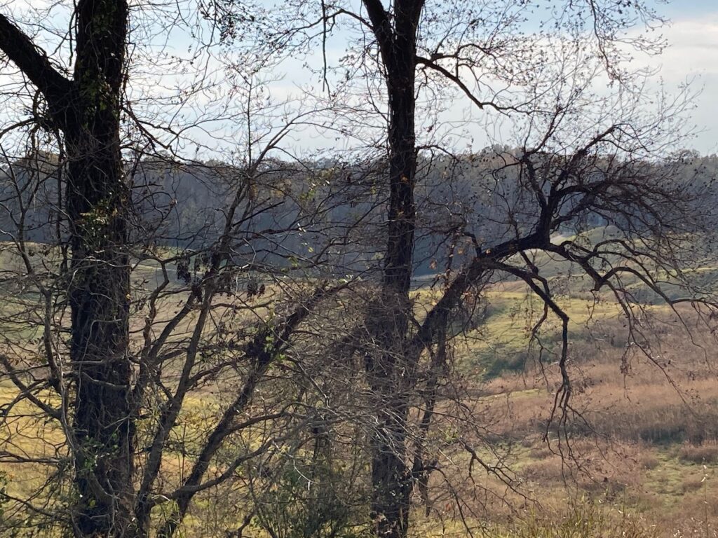
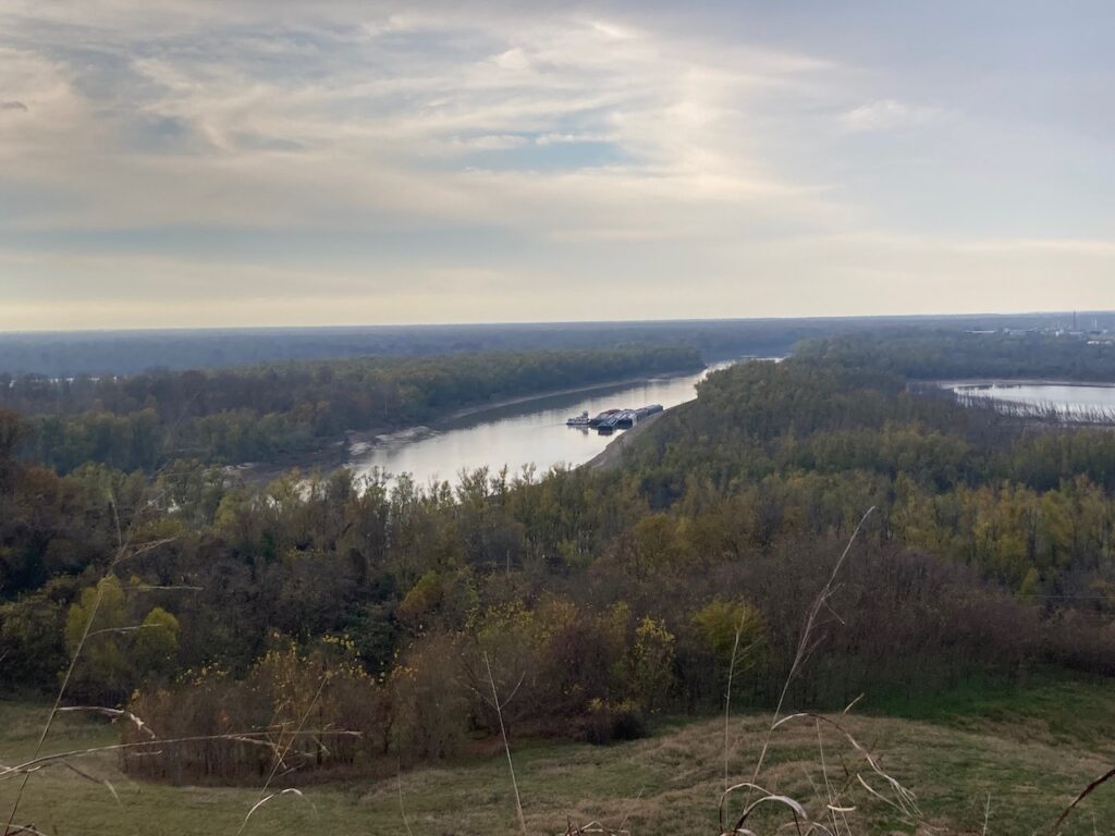
At the highest point in the park, you begin to understand why Vicksburg was so important a military asset. It was the highest terrain we had seen since Memphis.
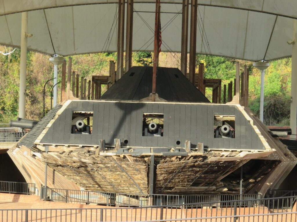
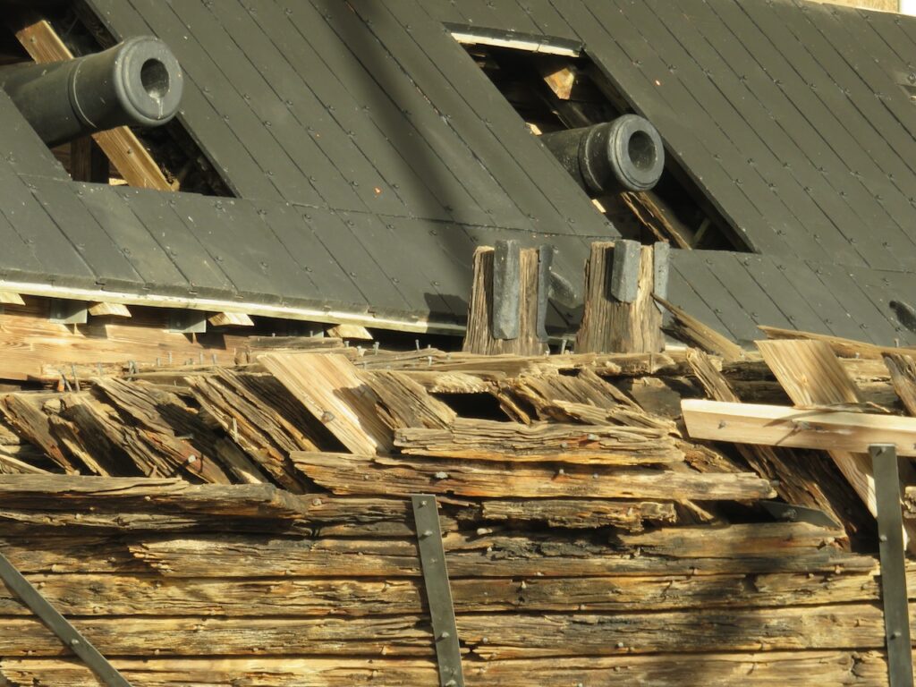
The USS Cairo was one of seven ironclads, naval military vessels designed to navigate the river’s shallows. The Cairo was damaged in the battle of Vicksburg, sunk and was recovered in 1964. The museum has reconstructed the Cairo from parts salvaged from the original.

Hanging with the big boys…🙃 The Riverfront Murals on Catfish Row, the downtown arts district in Vicksburg.
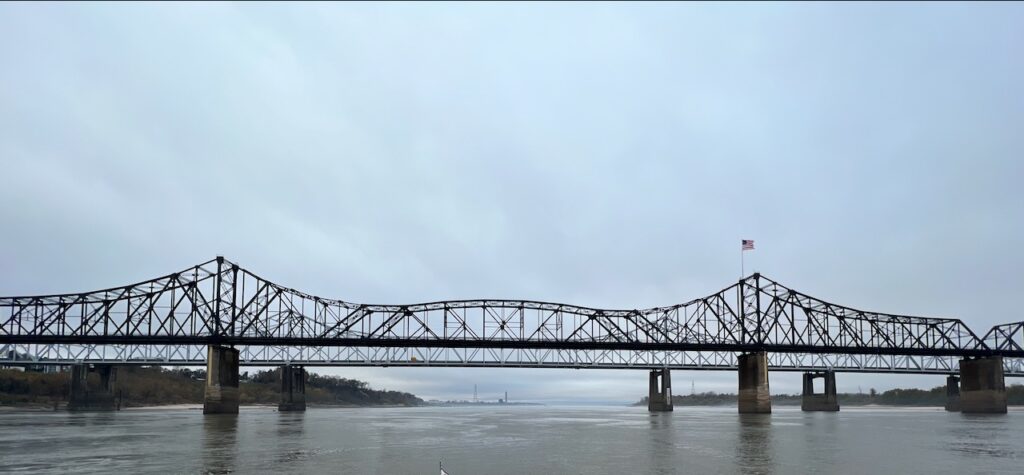
The US 20 bridge to Vicksburg. 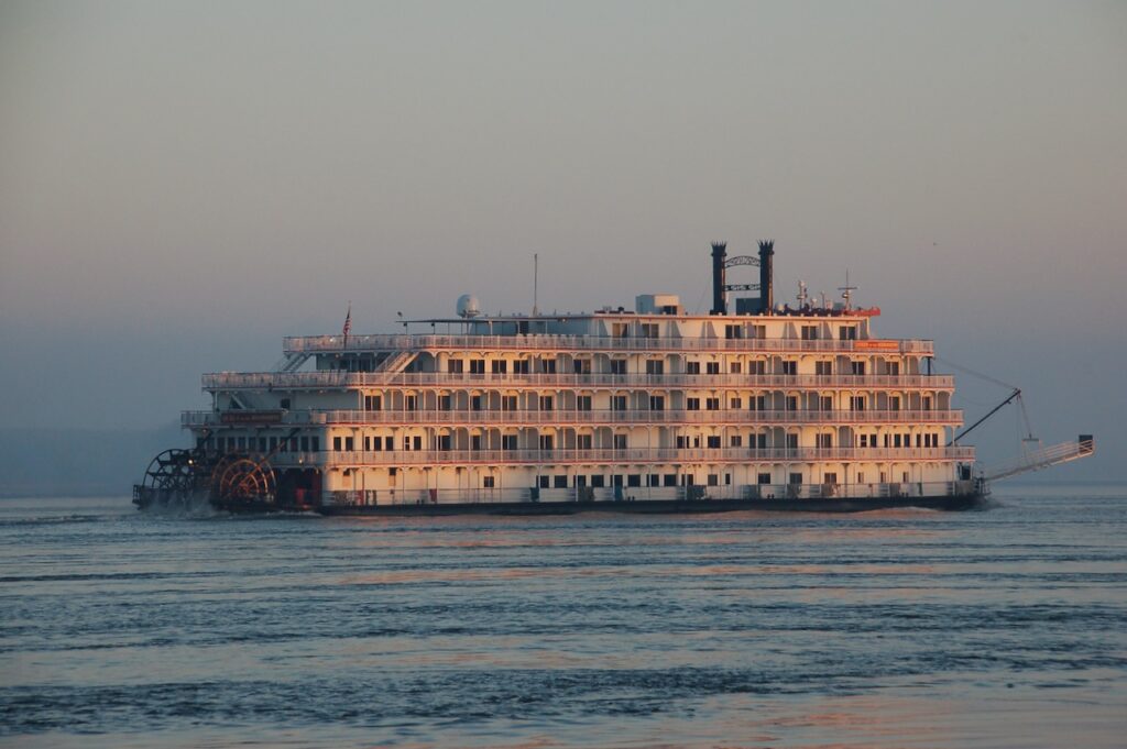
Vicksburg marks the end of our Mississippi Delta adventure; the Delta, officially, began on Beale Street in Memphis and ends here in Catfish Row. - Fun with Math
We have been posting pictures of the tows we encountered on this trip and, admittedly, it has been difficult to convey the enormity of the vehicles without special camera lenses. At the Lower Mississippi River Museum in Vicksburg, we stumbled on the perfect tool to provide context and convey size!
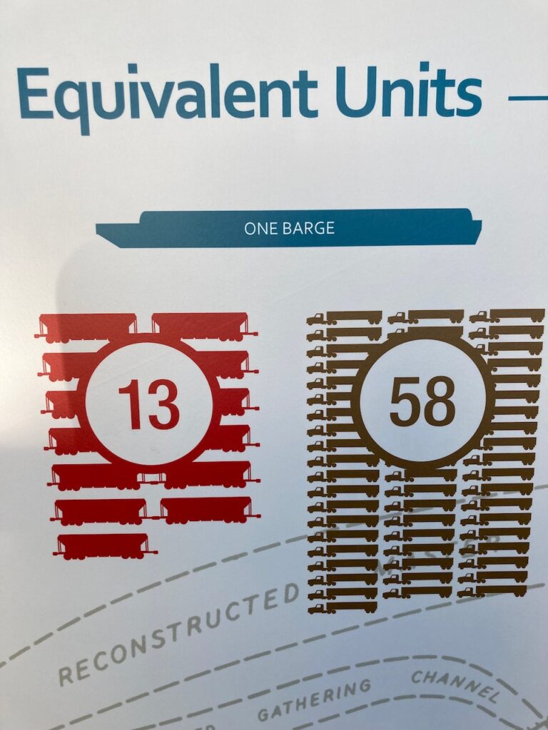
This is the secret decoder ring for understanding tows in a language most of us understand – train cars and semi trucks! 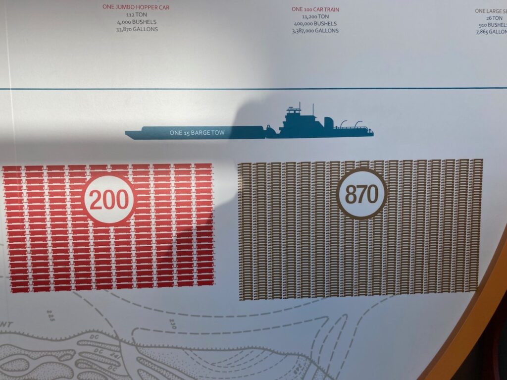
The equivalent measures in tonnage, bushels and gallons are in the small print at the top of this display. 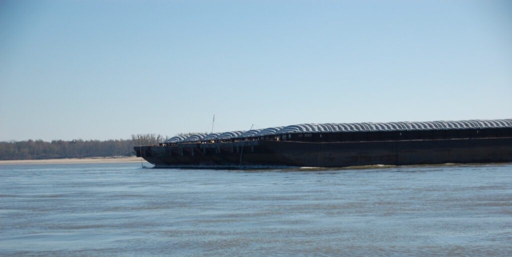

This is the largest tow we have seen to date – 7 wide by 8 long, 56 barges! The tow is 1750 ft (533 m) long, and 240 ft (73 m) wide. Let’s do the equivalent units math: 728 train cars (the longest train we have seen was 99 cars so 7+ trains), 3,248 semi trucks carrying 84,448 tons of cargo. Wow! 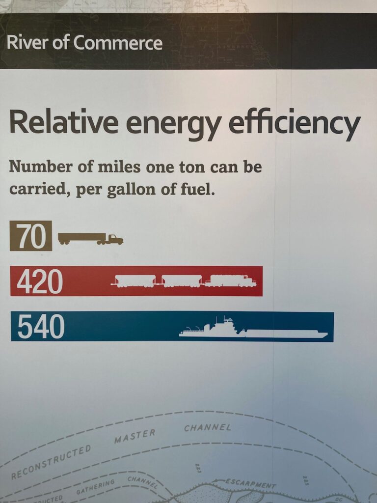
Another plus for river transport! Besides keeping all of those semi trucks off the road, tows use less fuel per ton! - A Bittersweet Good-bye
This is turning out to be a week of milestones! On Sunday, we reached the western most point of our trip when we left the Mississippi for the Atchafalaya River. Today, we have officially left the inland rivers we started back in Troy, NY, and are now back in tidal waters. We were 3 more days on the Mississippi, after Vicksburg, and 2 more days on the Atchafalaya River. There was nowhere to get off the boat during this 5 day stretch so, cabin fever setting in, we were thrilled to step off the boat in Morgan City. Still, we will miss the rivers and the extraordinary experiences we were lucky enough to have had.


- The Mississippi River by Air …
It is hard to comprehend the sheer scale of the Mississippi. From St. Louis (where we joined the Mississippi with the Illinois River) to New Orleans it is about 1000 miles long (1600 km). But it is its width, the bends and the islands (tow heads) which make the river truly majestic.

Kaskaskia River joining the Mississippi 
Fellow travelers tied up at the Kaskaskia River Lock 
Kaskaskia River Lock. We did not actually travel through the lock, just use it as a convenient – and safe – tie-up. 
The same boats anchored at the Little Diversion Channel near Cape Girardeau. After this night, Aurora traveled without companion boats, as the other boats went up the Ohio River to continue their journey towards the Ten-Tom Waterway. 
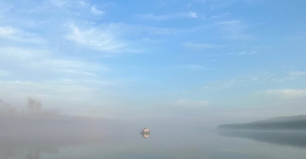
Morning fog near Cape Girardeau. Note the tow with barges parked on the right bank. The big guys also don’t like to travel in fog. 
Hickman Slack Harbor 
Old Mississippi flow path at Hickman 
View from upriver to the downriver after the New Madrid meander. Direct distance is 0.9 miles but traveling on the river, it takes over 18 miles. 
New Madrid meander 
Obion River 
View from the Obion River anchorage 
View from Obion River 
Towhead at Wrights Point 
Mississippi at Obion River 
Osceola Slack Harbor 
Sunset over Osceola, Arkansas 
Chute at Waterproof Bar, Louisiana 
Upstream view at Waterproof Bar - The Mississippi River by Ear …
We left the Mississippi River at the Old River lock to continue south on the Atchafalaya River, the 5th largest river in North America by discharge.
The Old River Lock 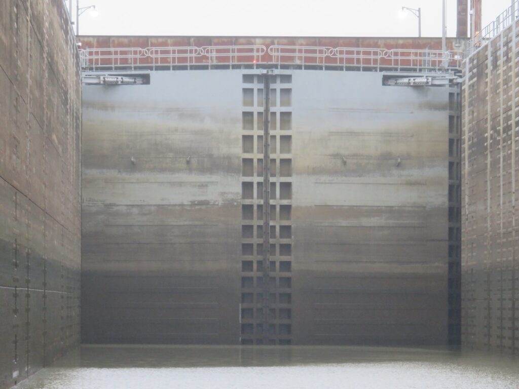
Years of flooding at different levels have created a mural on the lock gates. And that is not the only art associated with this lock… … this is the symphony we enjoyed while locking through. Listen!