- On the Road, er, Water Again!
Wondering where we have been? Tonawanda and Buffalo, NY, Germany and Boston, MA… But now? Happily on the way to Presque Isle, PA with 2nd Mate Cathy on board!
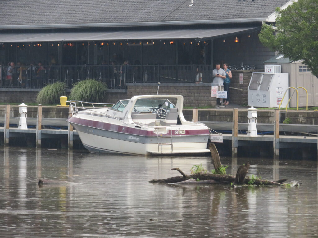
We arrived in Tonawanda, with all of the floating debris, on Sunday July 20th and spent a week on the wall while waiting for the mast stepping appointment.

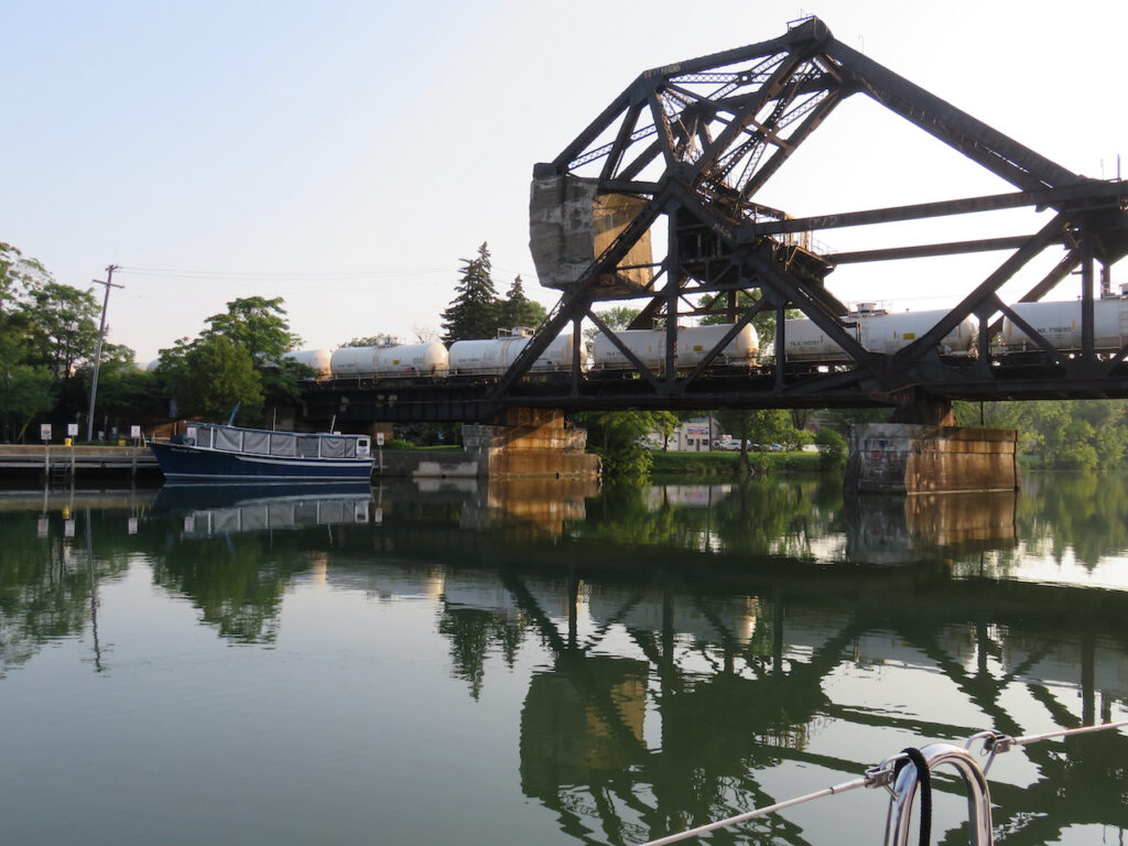
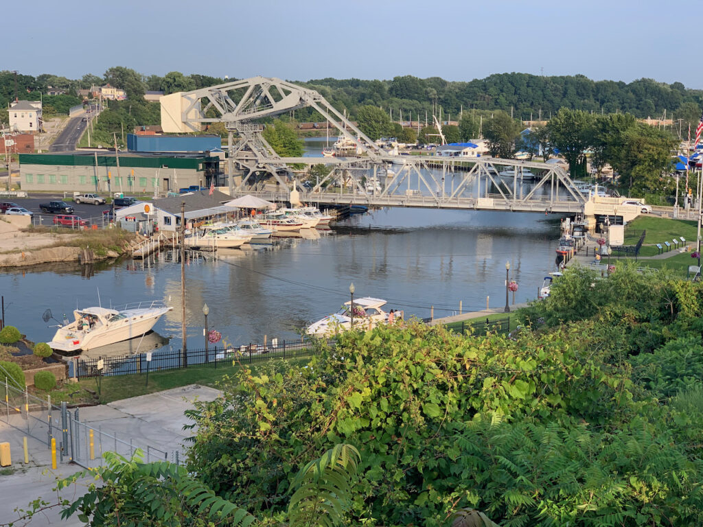
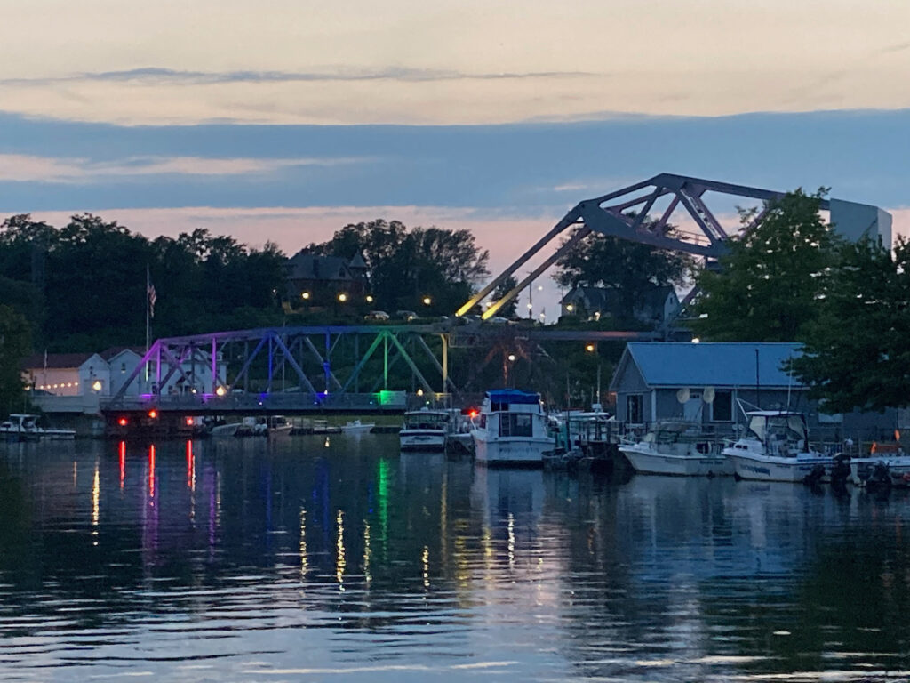
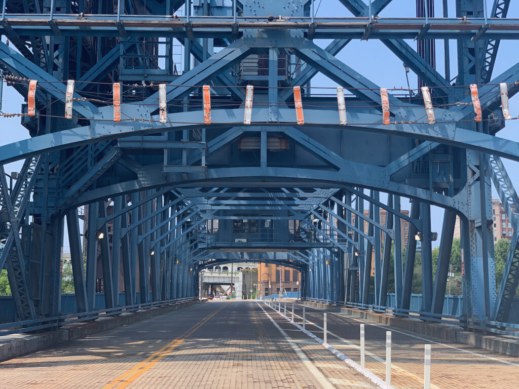
This bascule bridge was only ever opened during its construction in 1919. The Erie Canal height restrictions were modified before it was released for use so it never needed to be opened. HATE when that happens…
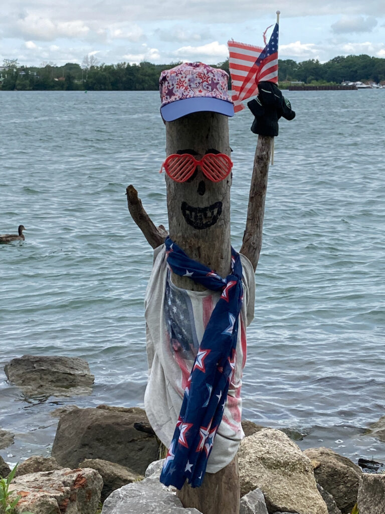
A friendly fellow cheering on the runners running along the Niagara River in the morning.
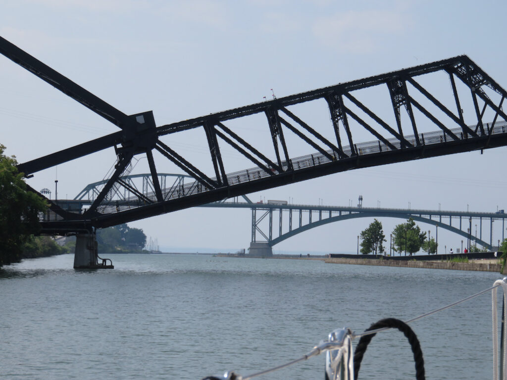
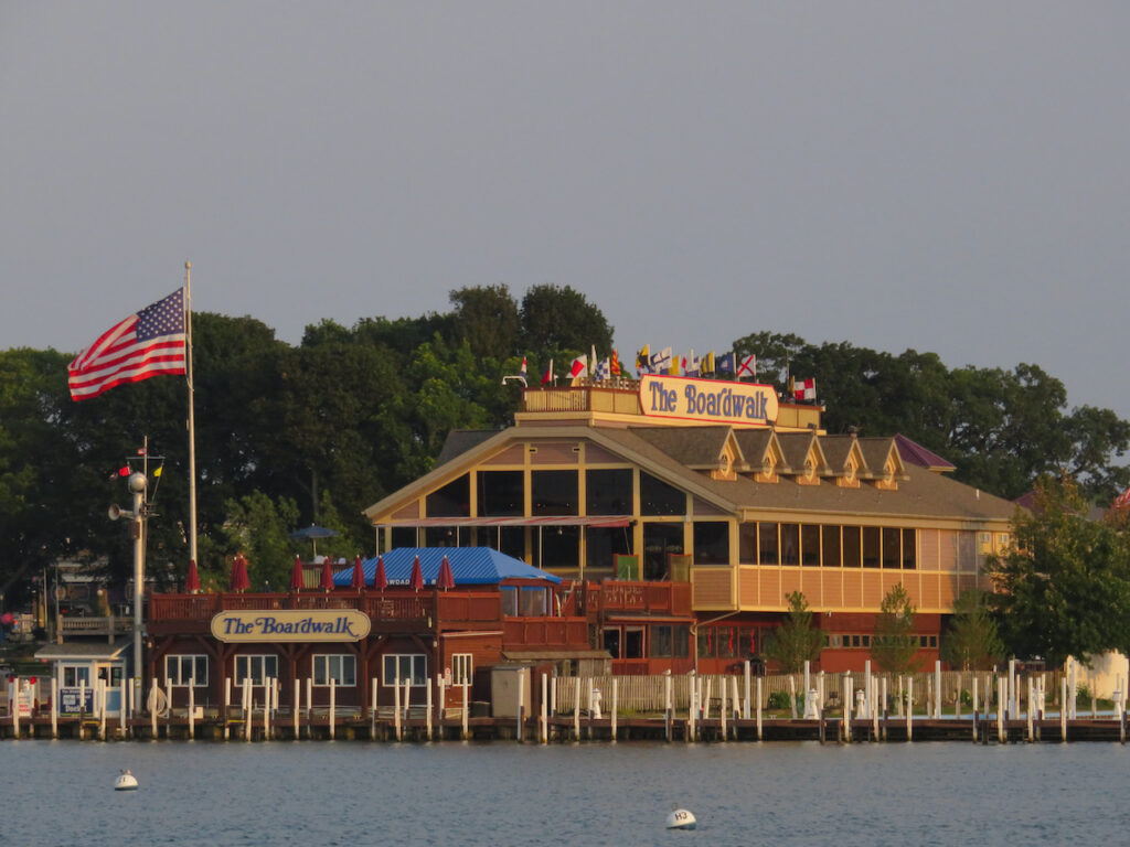
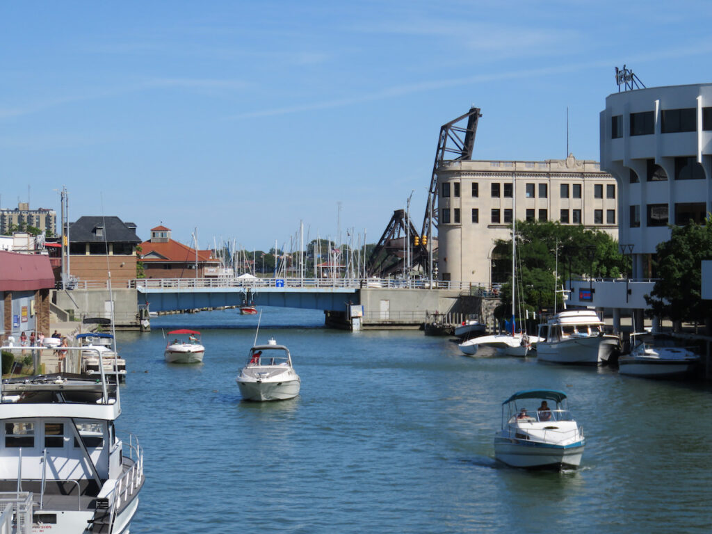
On our way from Tonawanda, the last bridge which will need to be lifted for us until Chicago. Behind the Ferry Street lift bridge, is the Peace Bridge to Canada, closed to all but commercial traffic currently. Passing under these two bridges brings us to…
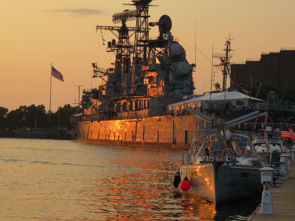
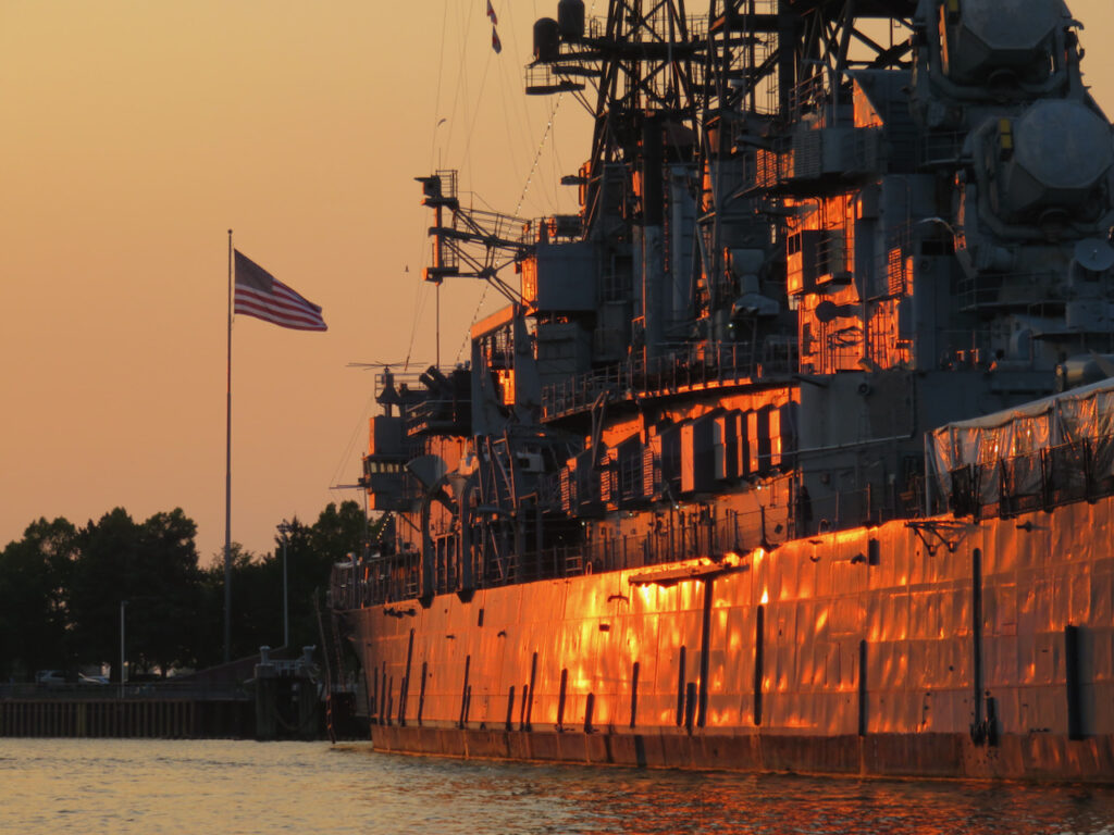
We shared the dock at CanalSide with the USS Little Rock. That ship is BIG!

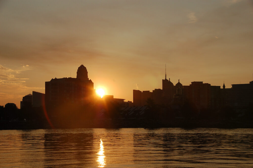
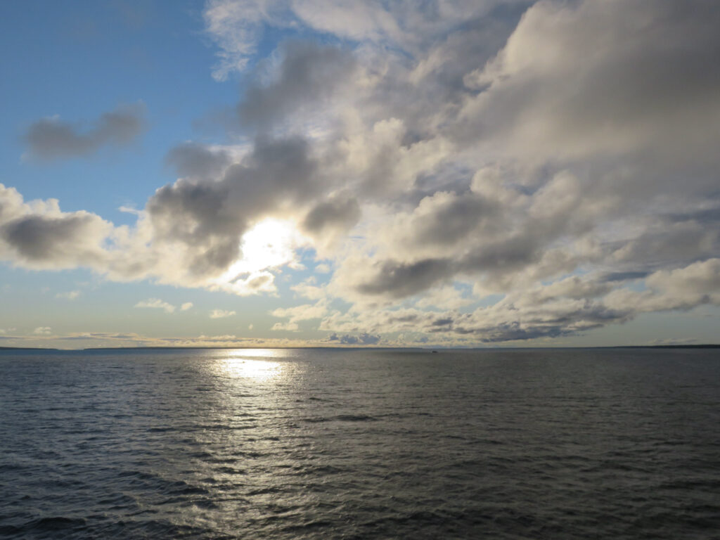
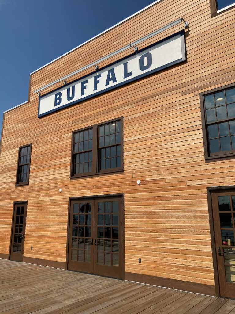
We left Buffalo in the quiet of the morning…


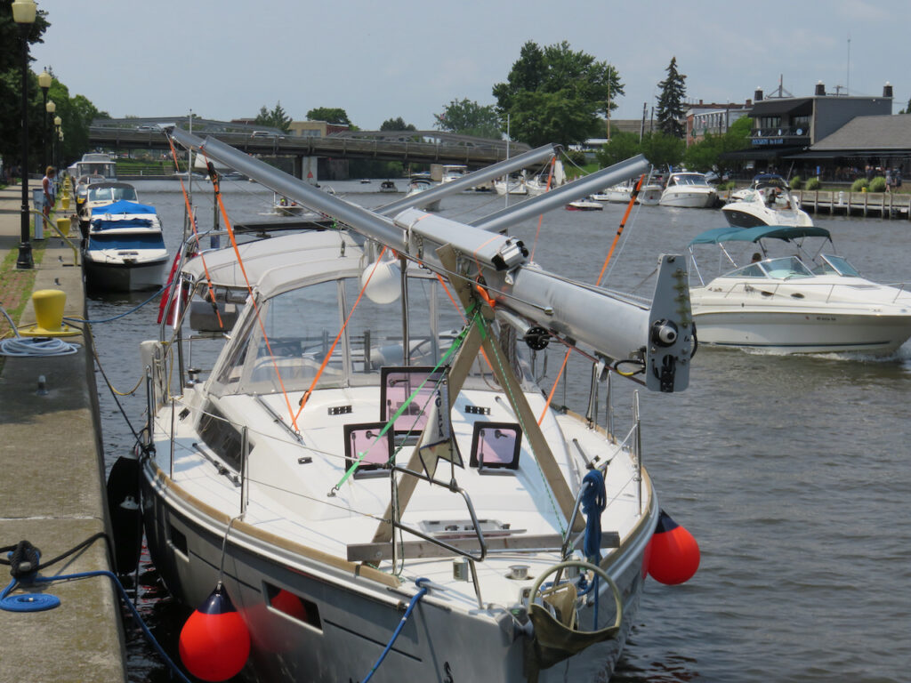
… a sailboat once again.
With more than one additional mate…🙃
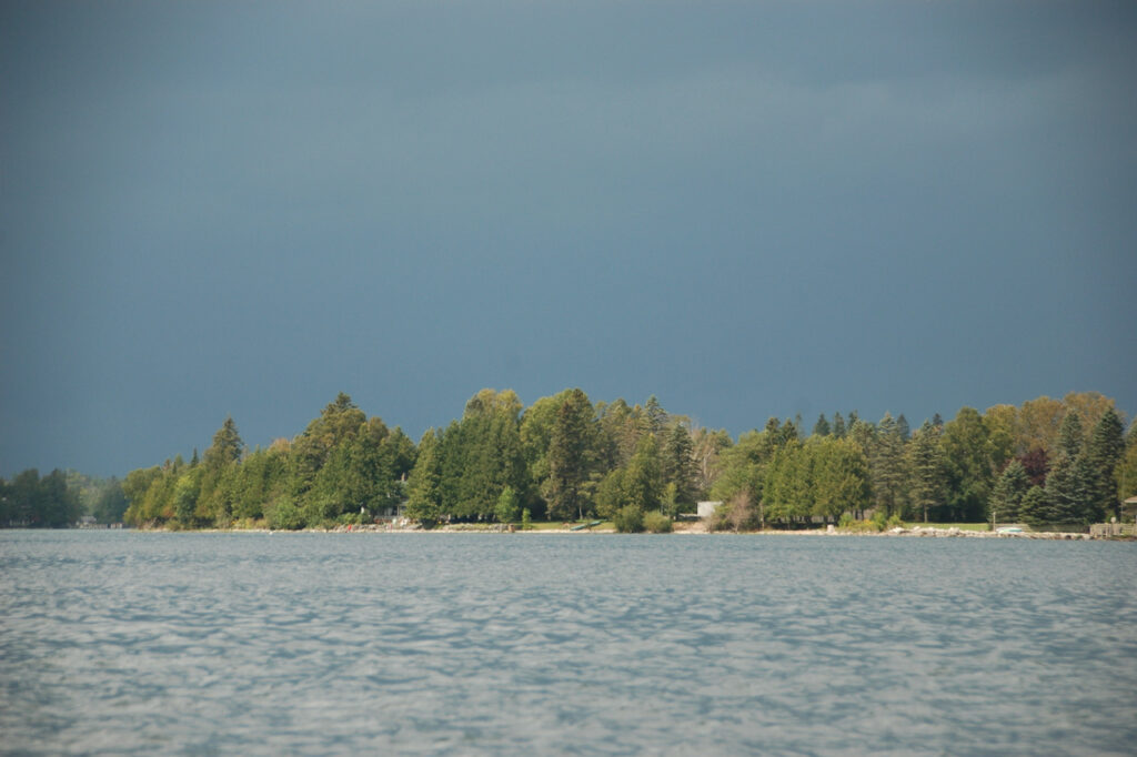
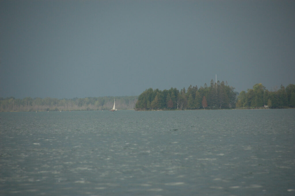
- Lake Erie
After 52 days in New York state, we managed to visit three new states in less than 10 days. We attributed this to Cathy, our “good luck charm” first mate. Good luck AND good natured… she endured a couple of long days to help us accomplish this!
Presque Isle, PA
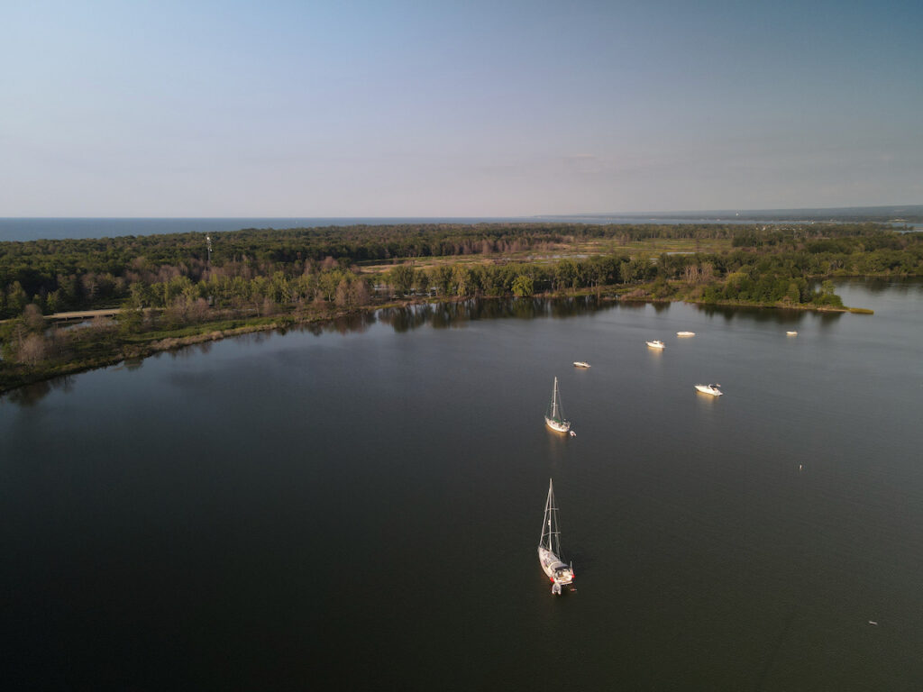
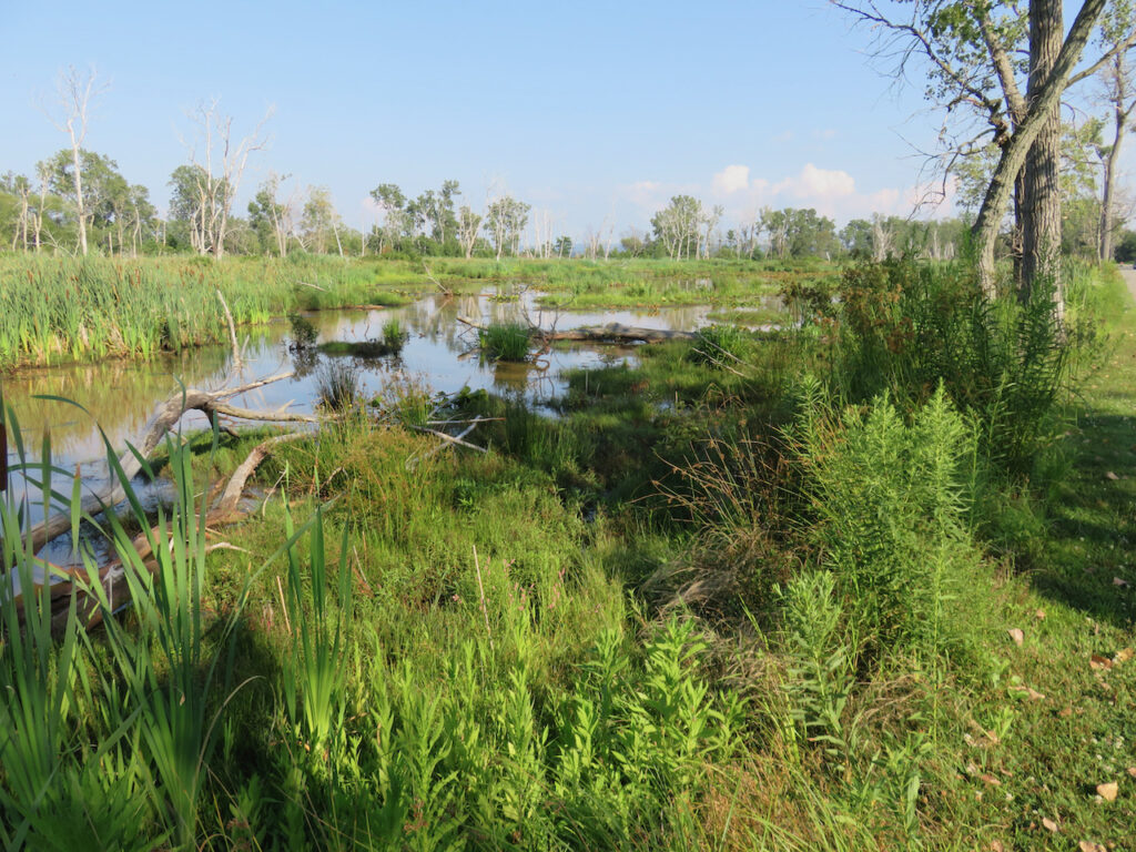
A serene anchorage, great swimming, bike paths galore and a huge nature preserve. Presque Isle was the perfect segue way into cruising for newbies…
Erie, PA

We took the dinghy to Erie for lunch and had front row seats to a naval battle!
Ashtabula, OH
We over-nighted in Ashtabula and were pleasantly surprised with its offerings: dockage at a wonderful yacht club where we could watch the goings-on at the Bum Boat (🤣), great shops, a nice water front and good barbecue.
Cleveland, OH
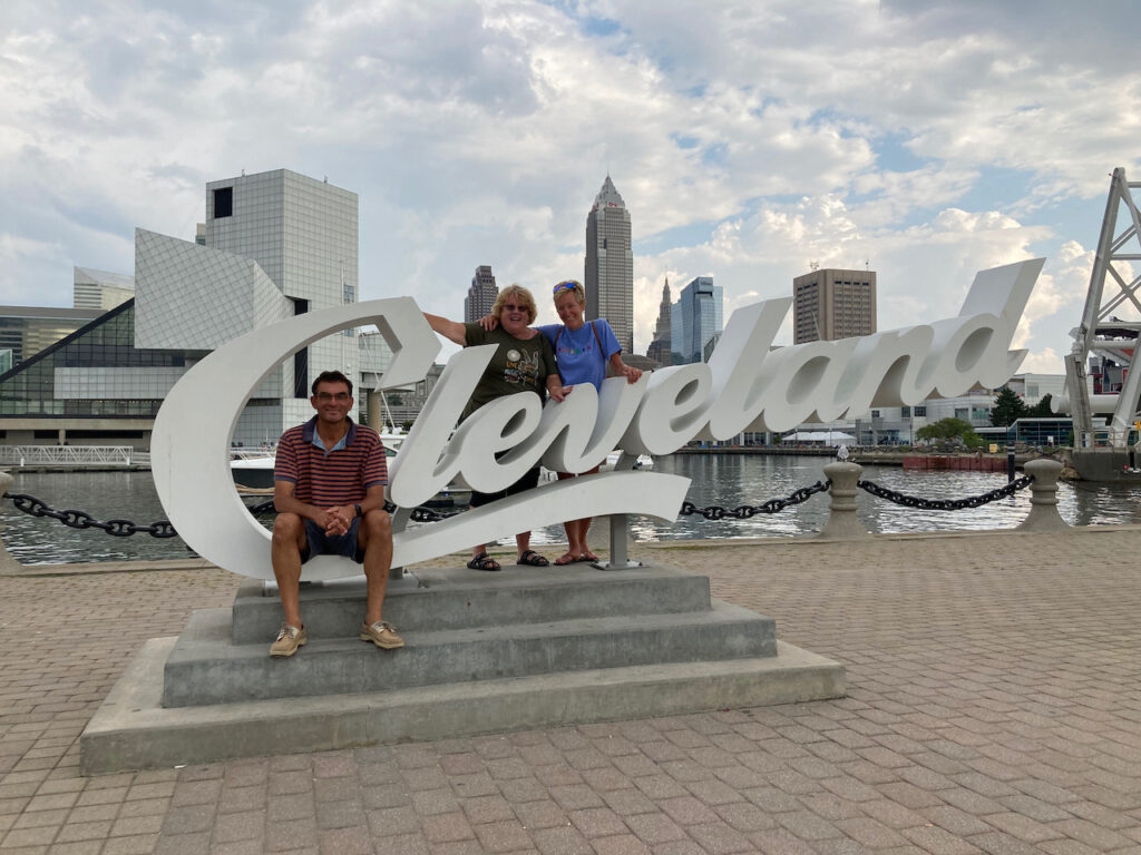
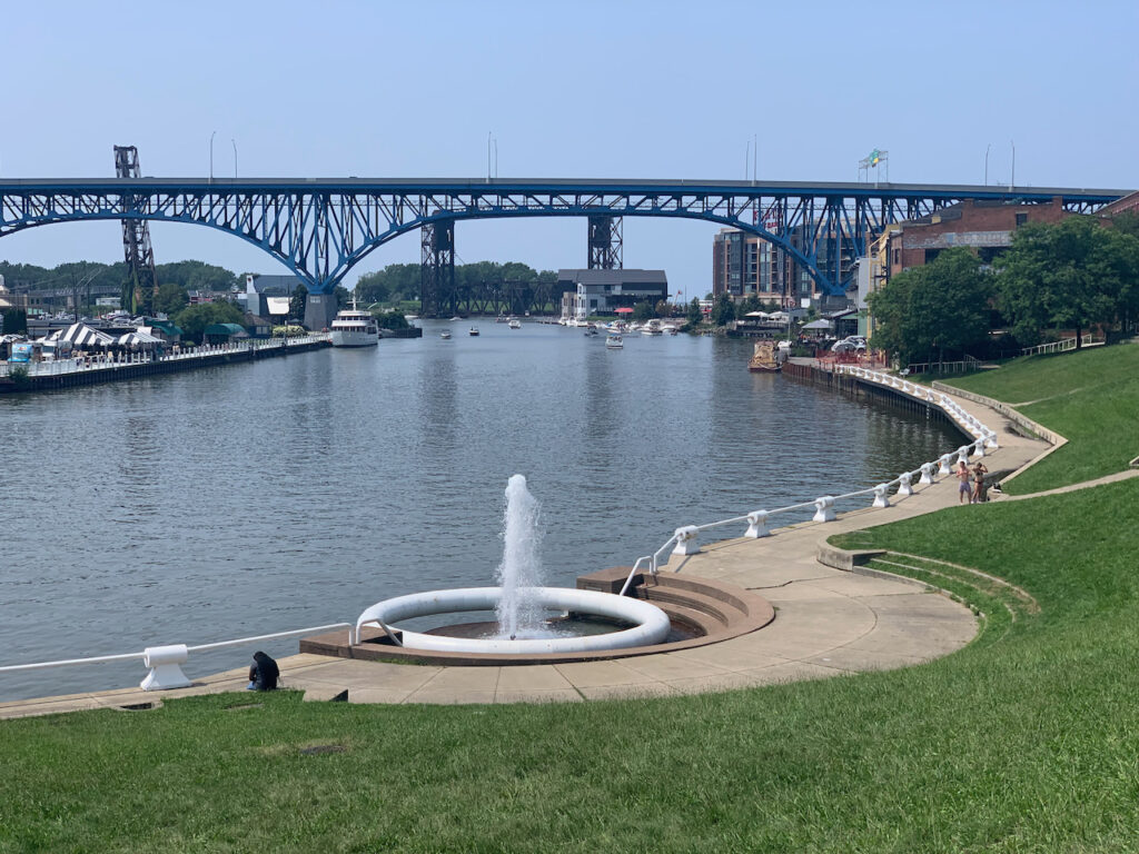

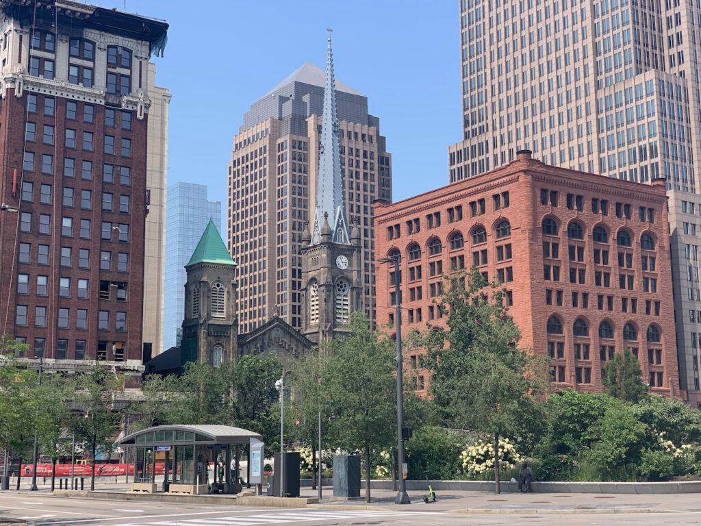
Cleveland is the poster child for former Great Lake industrial cities who have successfully re-claimed their waterfronts; a real gem. I won’t bore you with Rock & Roll Hall of Fame pictures but will tell you that you should definitely go enjoy Cleveland.
Put-In-Bay, OH
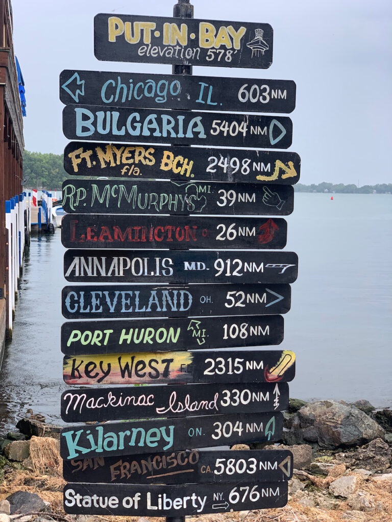
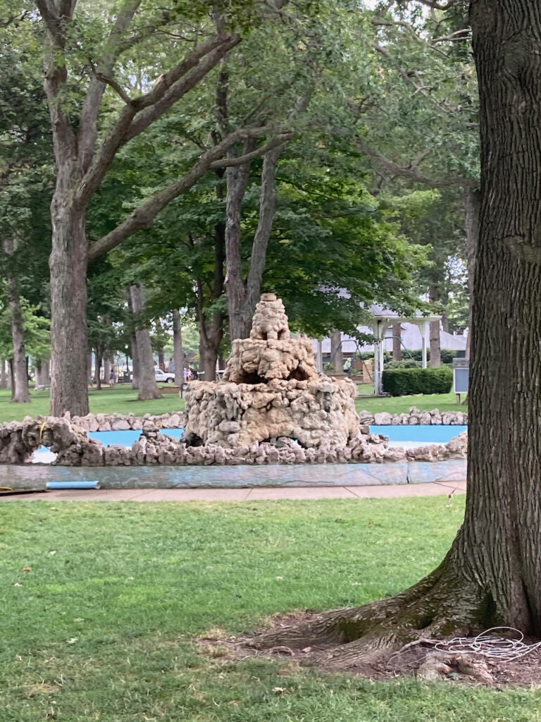
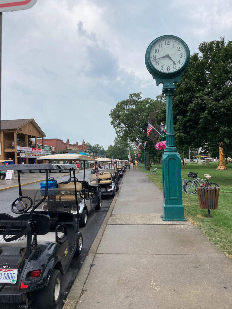
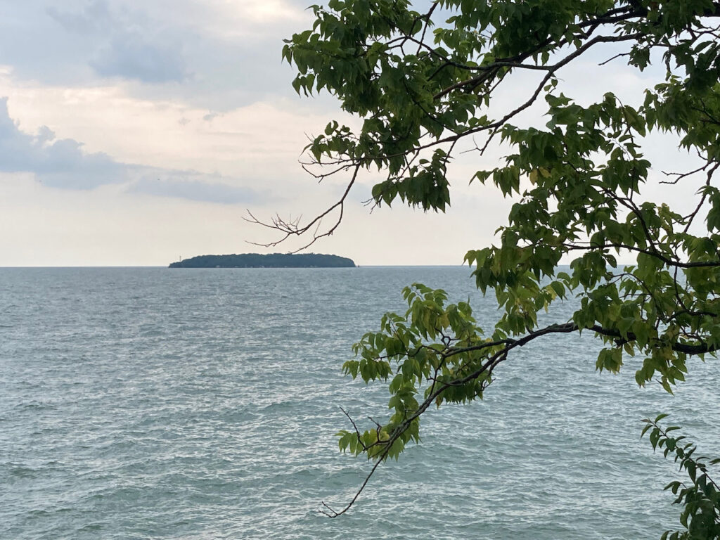

Who even KNEW there are islands in the middle of lake Erie???
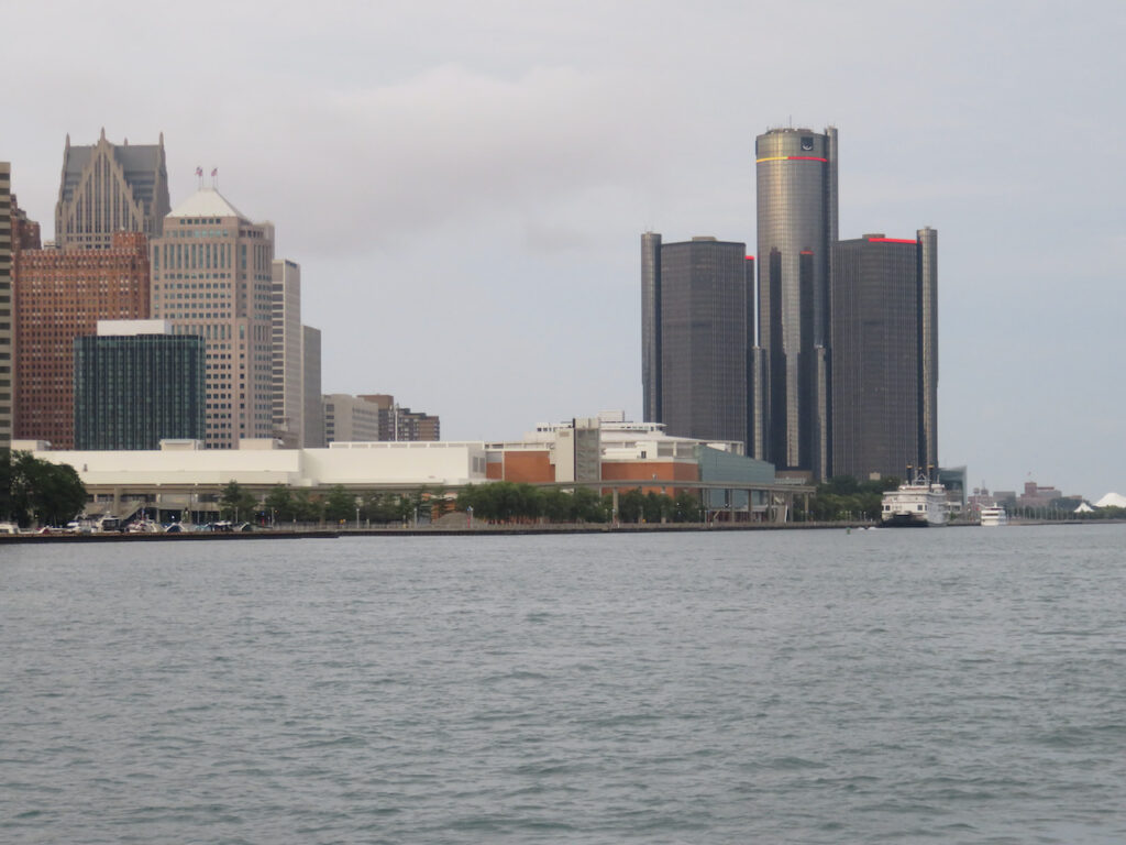
Detroit, MI
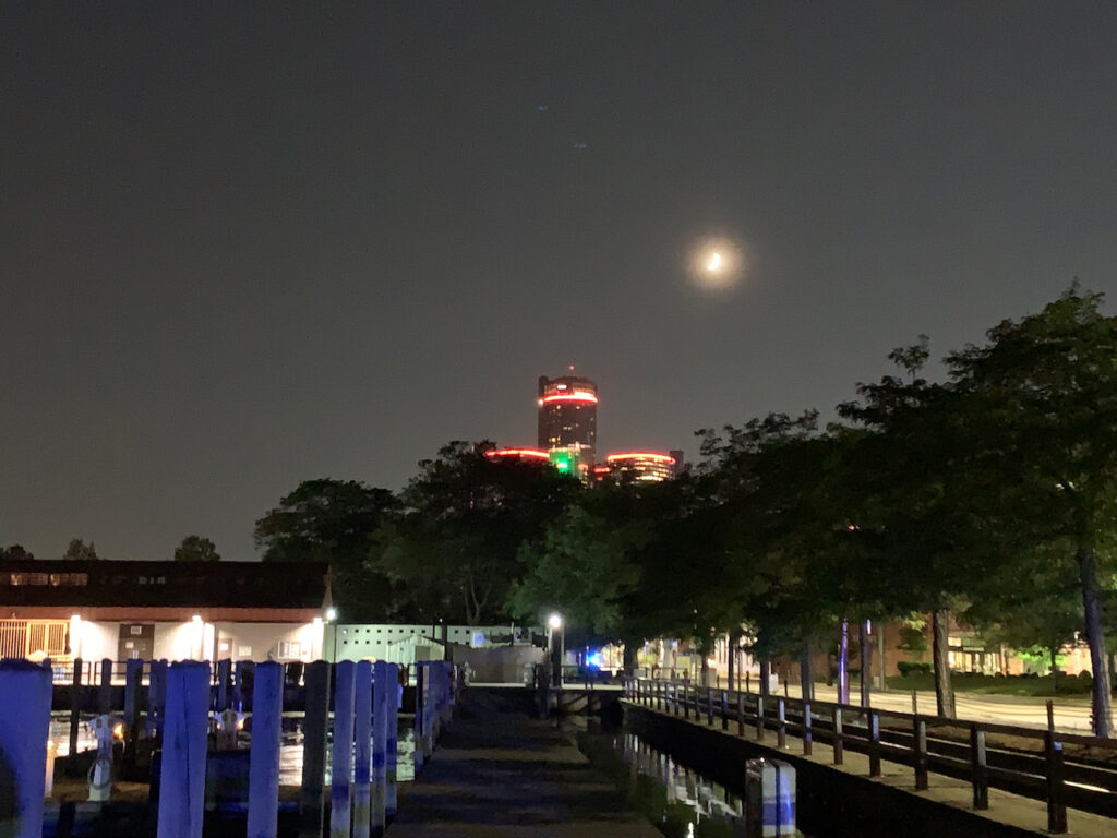

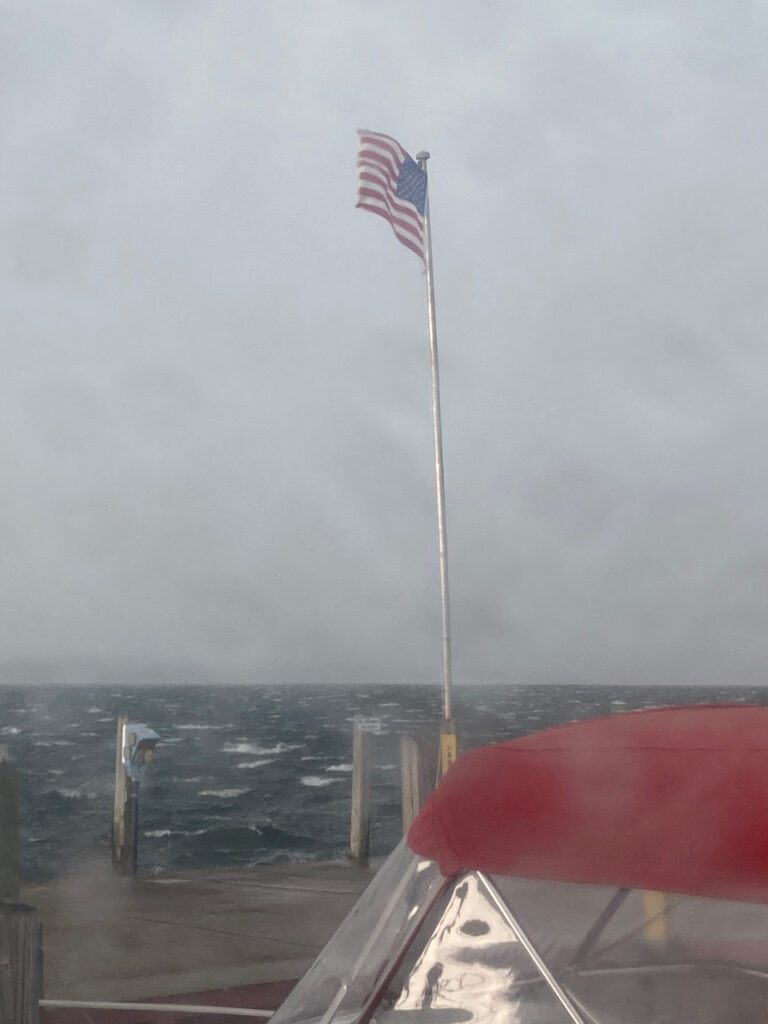
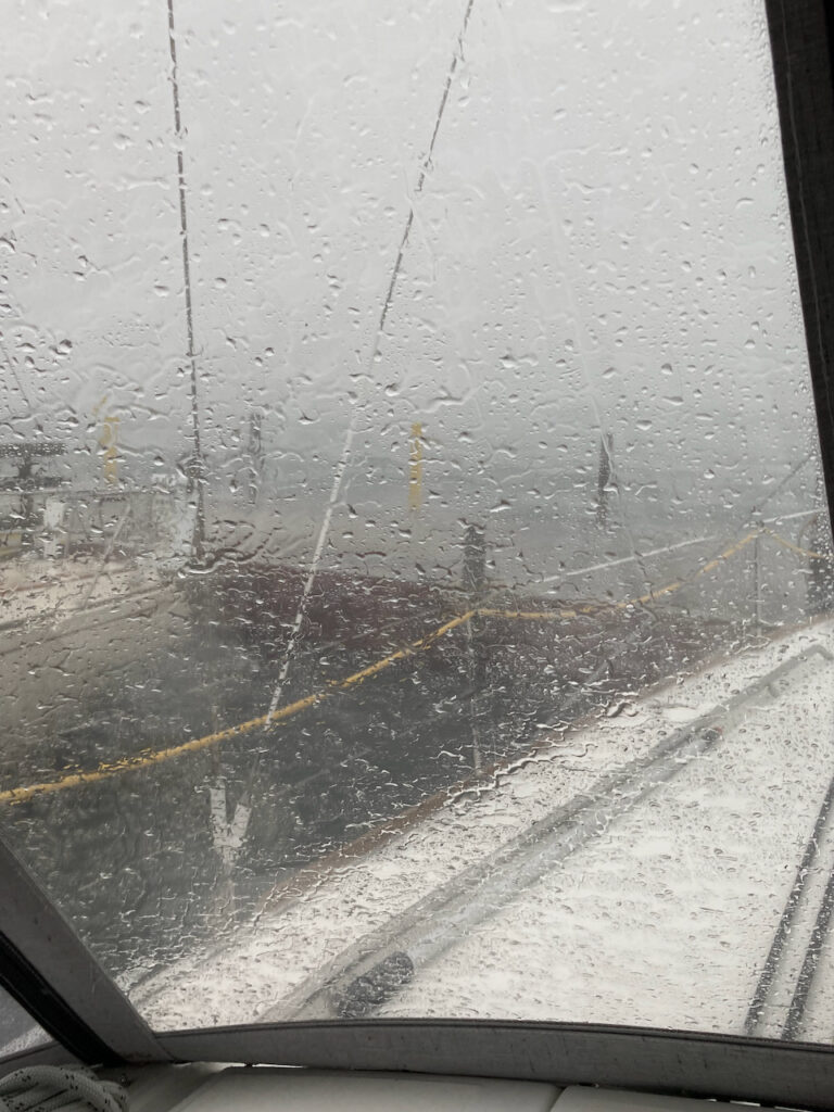
Put-In-Bay was where we said good-bye to Cathy and, boy, did we miss our good luck charm… The journey from South Bass to the mouth of the Detroit River was long (3 hours) and choppy even as we sailed at 7+ knots. The insult to this injury was a pop-up thunderstorm with driving rain and winds in excess of 40 knots… with a lake tanker headed down-river our way. We made it to Milliken State Marina, in the shadow of General Motors headquarters, then spent the next day housekeeping and meeting with friends. 😜
- From Lake Erie to Lake Huron
The Detroit River, Lake St Clair and the St Clair River are the critical bodies of water which connect the “northern” Great Lakes, Superior, Michigan and Huron, with the “southern” Great Lakes, Erie and Ontario. Also, remember, ALL of the waters of the Great Lakes flow to the Atlantic Ocean via the St Lawrence Seaway. I am pointing this out because it proved to be impossible to show you, in pictures, the currents we traveled against between Detroit and Lake Huron.
We left Detroit and the imposing GM headquarters, bound for the St Clair Municipal Marina, anticipating another 7 hour day. The time was not dictated by distance but travel speed; with a 2 knot current against us, we were only making about 5 nautical miles per hour.
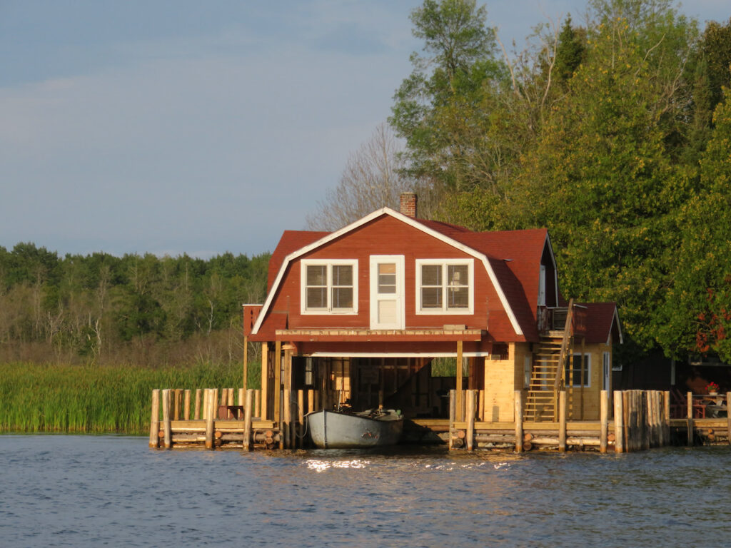
The US and Canada are separated by the width of the rivers and we watched both shorelines much of the way. There was a distinct difference between the two… the Canadian shoreline was more “inviting”. For example, US residences were built directly on the water, Canada’s were buffered by public green spaces. Even the infrastructure had this characteristic…
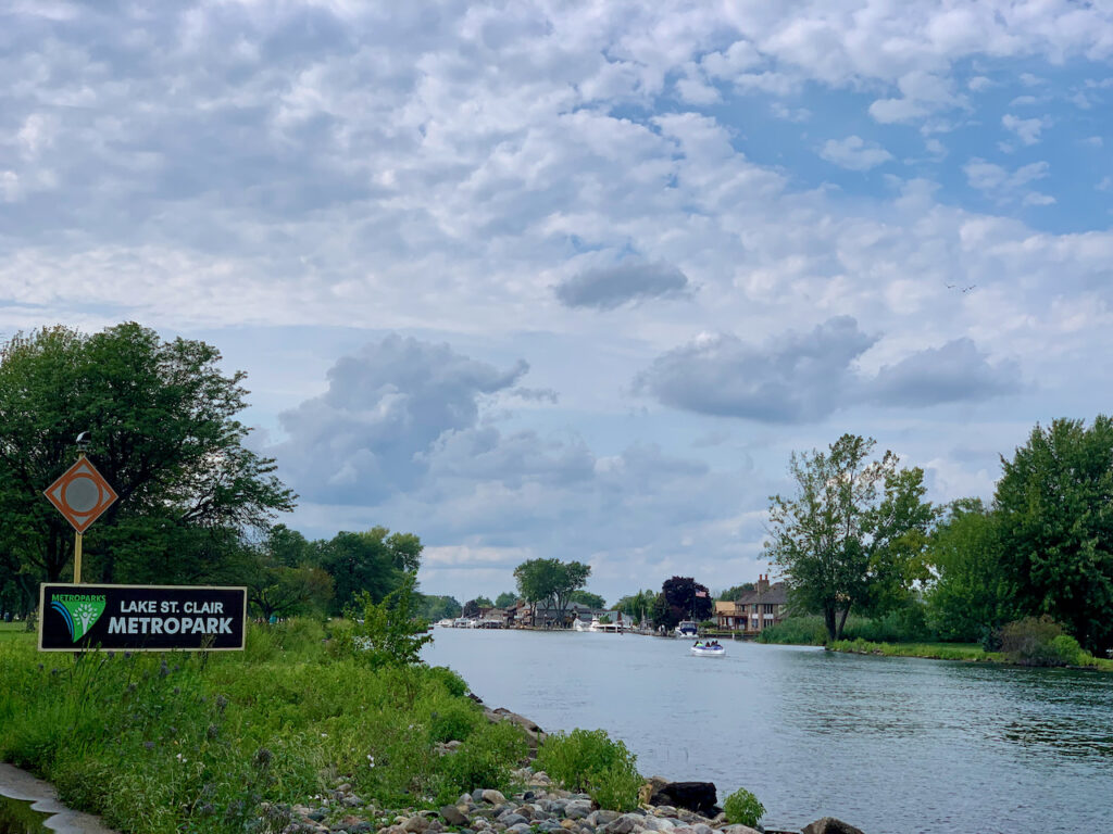
We left the Detroit River and entered busy Lake St Clair. The marina we had hoped to over-night at was full so we wound up further up the lake at Metro Park. It turned out to be an anchorage as calm as Presque Isle, PA… just more mega mansions on shore. 😜
The north channel from Lake St Clair to the St Clair River is part of the river’s delta and helped us avoid an hour or two on the St Clair River. We joined the fisherman for an early morning transit… Once we did enter the St Clair River, we realized we had been overly ambitious in our plan to make it onto Lake Huron the same day. The river is VERY narrow and the current extremely strong… against us, of course. Seven hours of bouncing around against current, a north wind and the gazillion boaters, we decided to bail out in Port Huron.
Port Huron was busy with boaters, too… The next day, Sunday the 15th, was the annual St Clair River Float, an unsanctioned event which closed the river from the bridge down to St Mary’s from noon to 8:00P. All manner of inflatables were going to take over the river. We read, later, that about six thousand people participated.
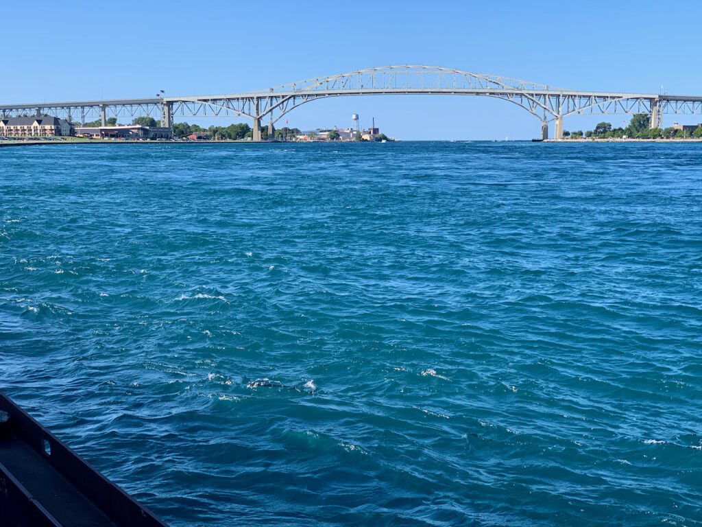
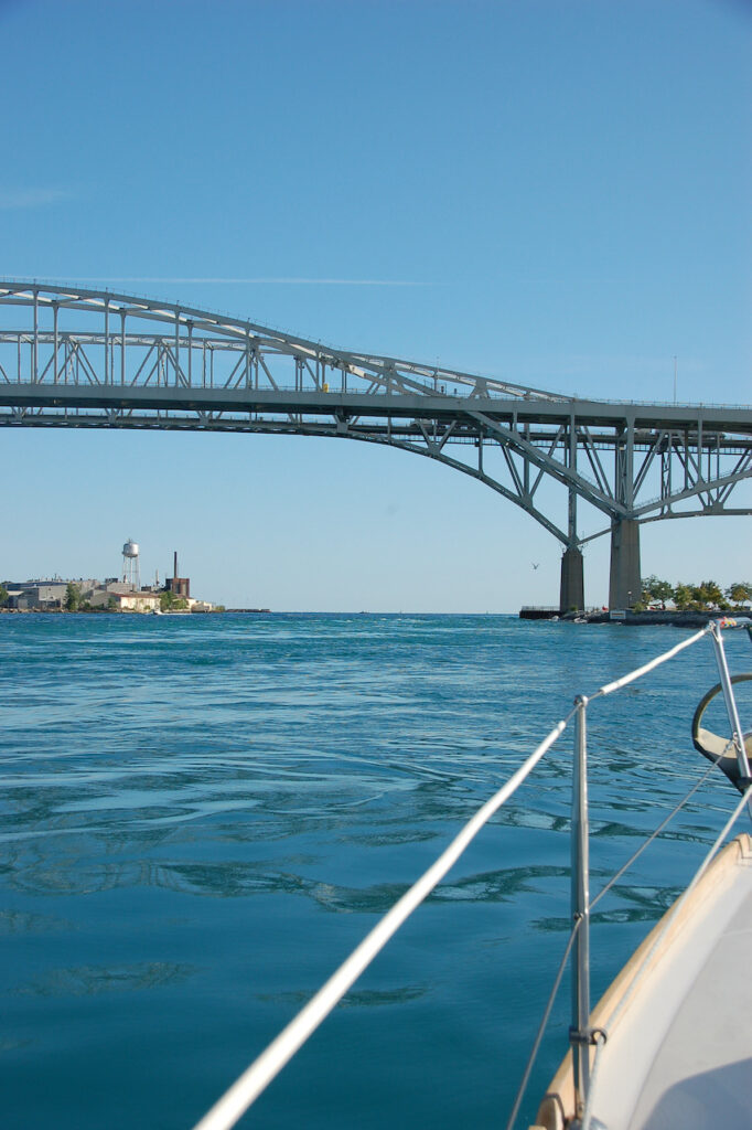
On Sunday, we “got out of Dodge” before we were locked in… The Blue Water Bridge, just off the Black River, connects Port Huron, MI with Sarnia, ON and is the gateway to lake Huron.
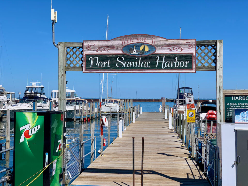
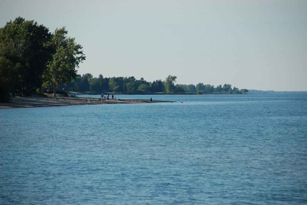
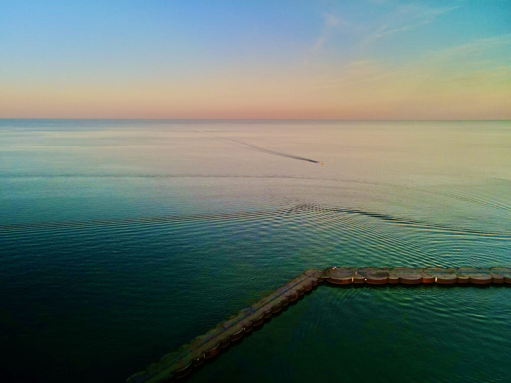
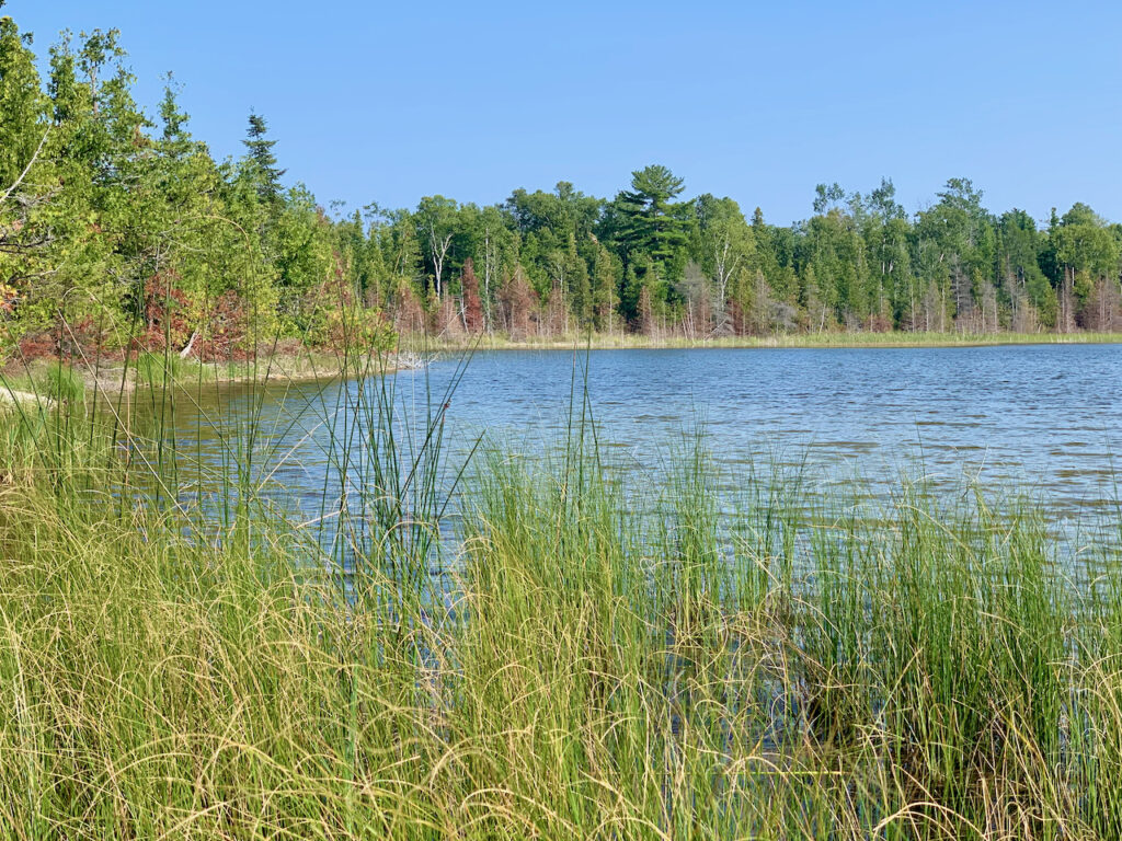
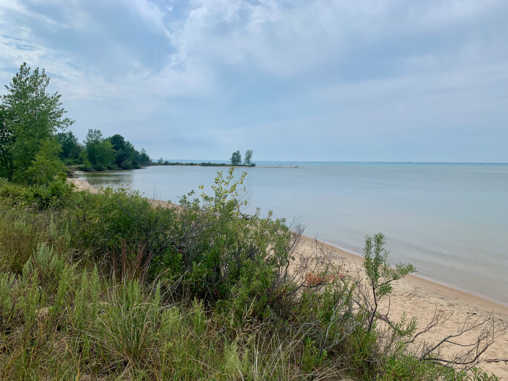
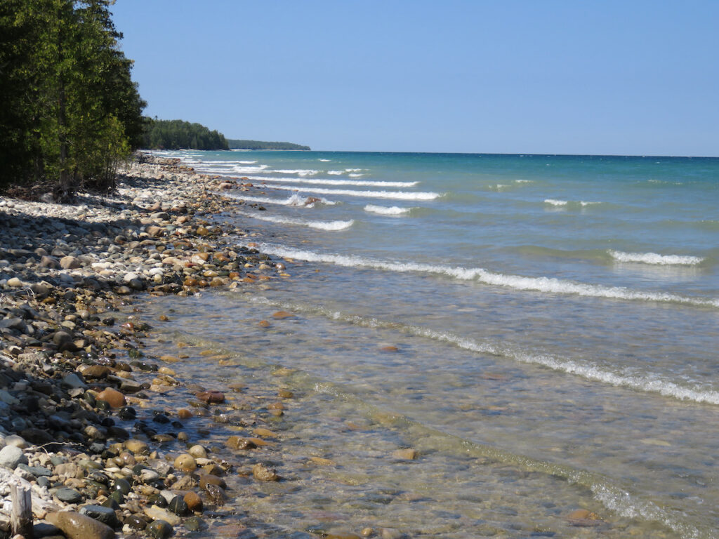
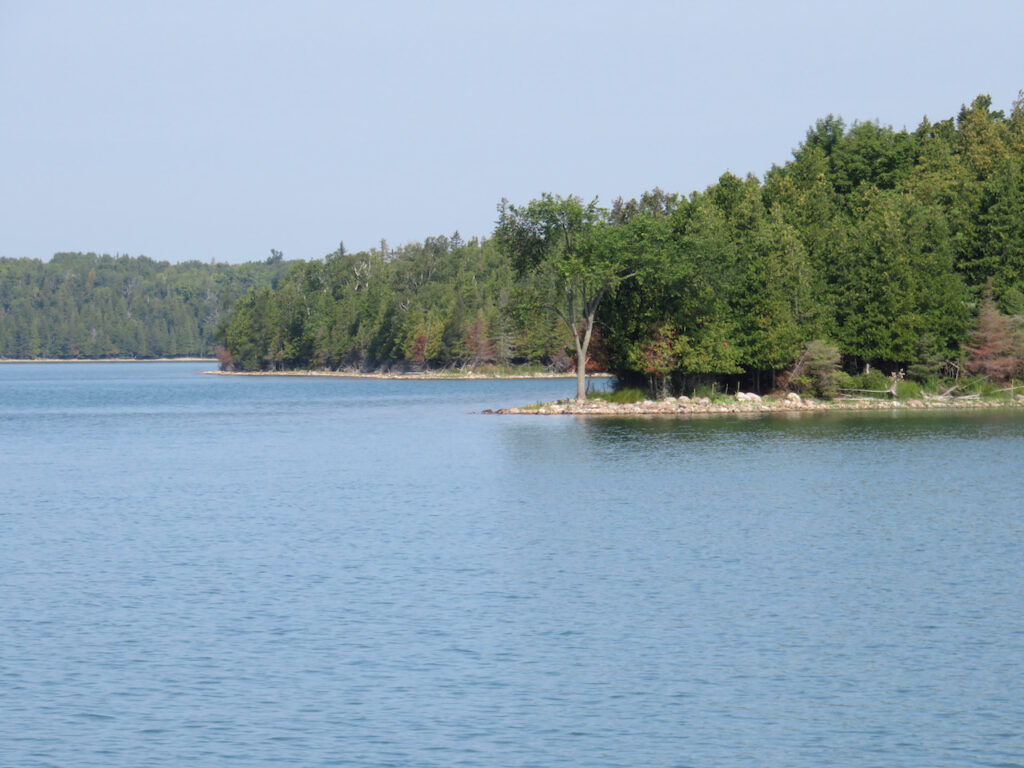
Port Sanilac was our introduction to Lake Huron’s harbors. An engaging little town and water as clear as a Caribbean island’s… We already like Lake Huron.
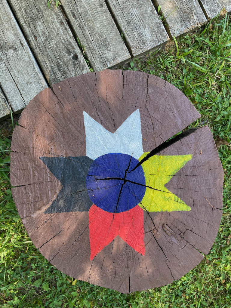
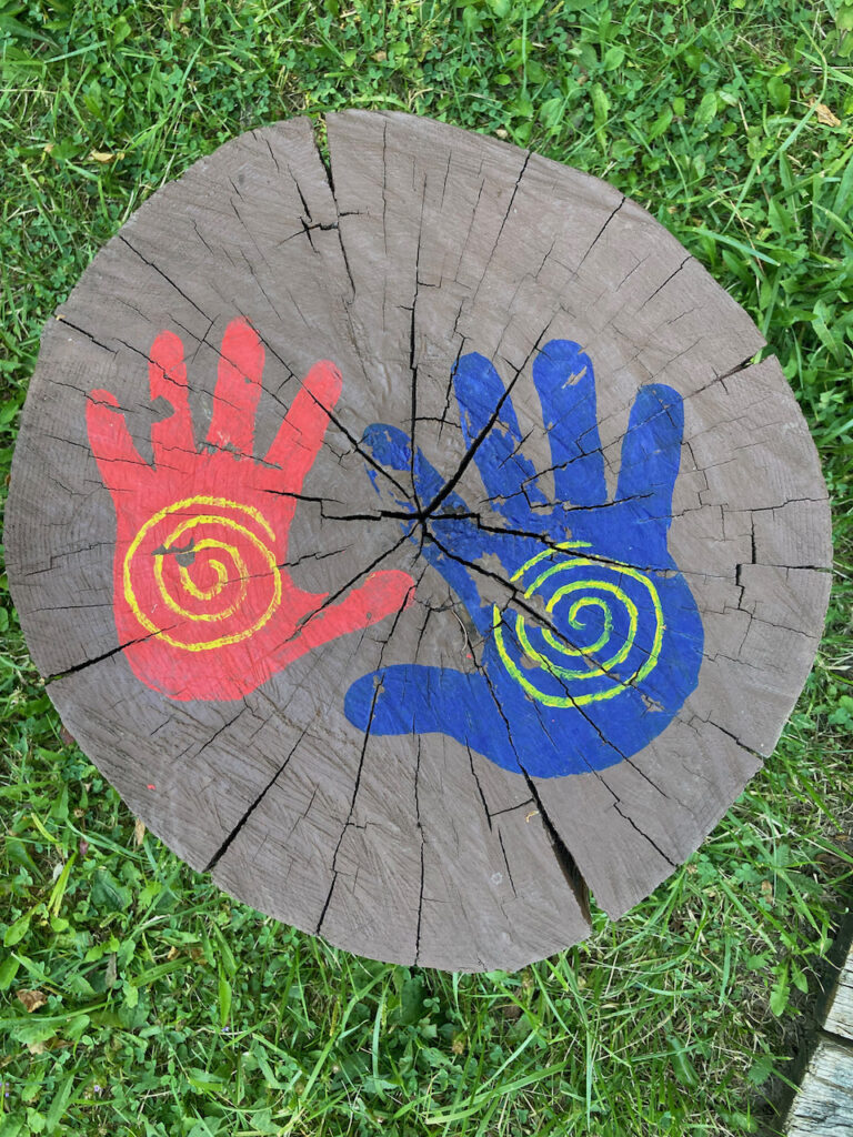
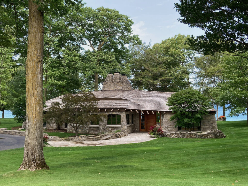
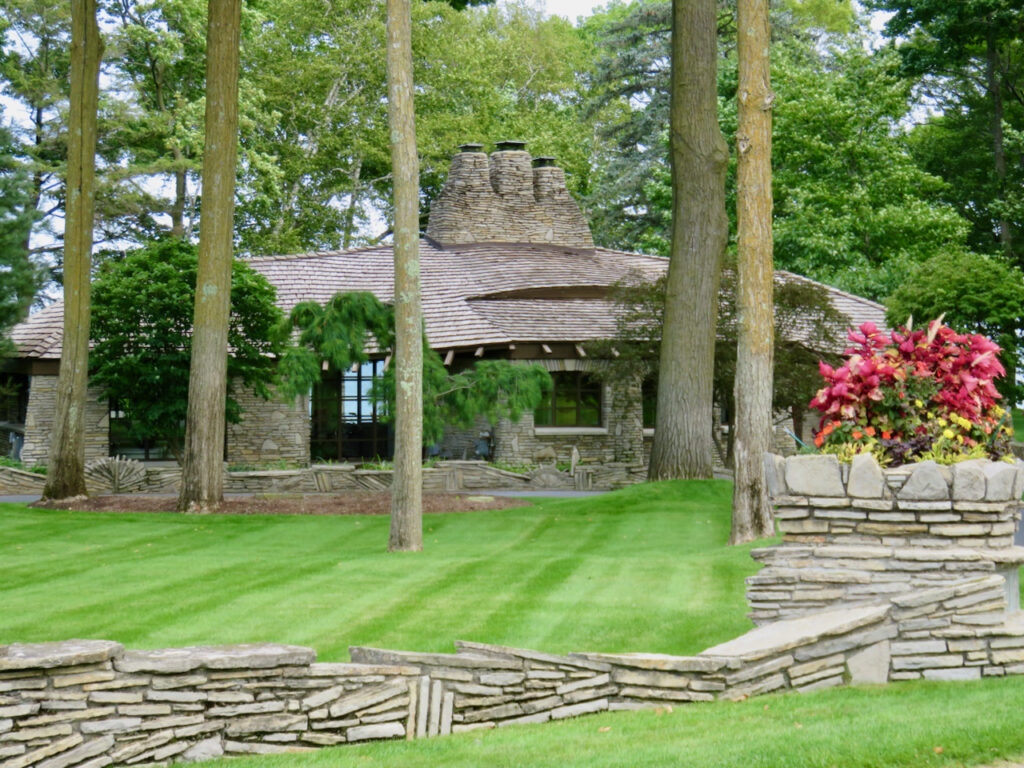
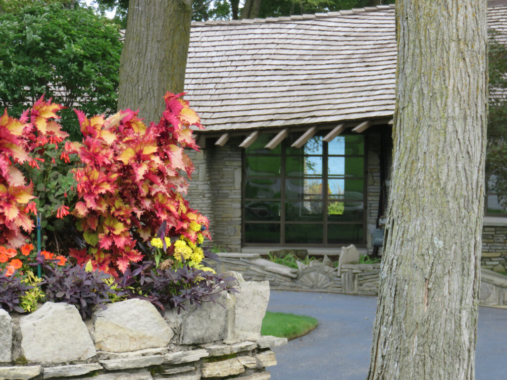
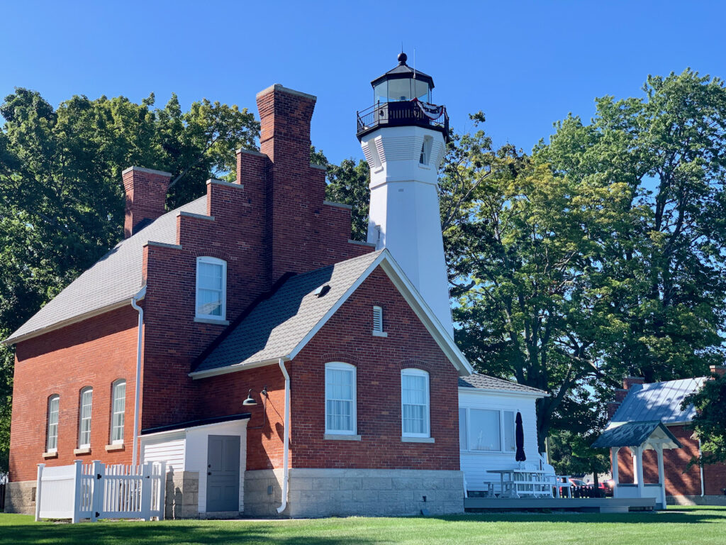
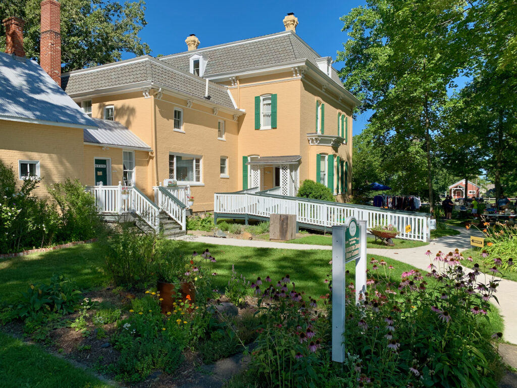
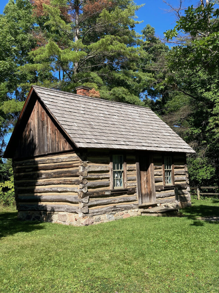
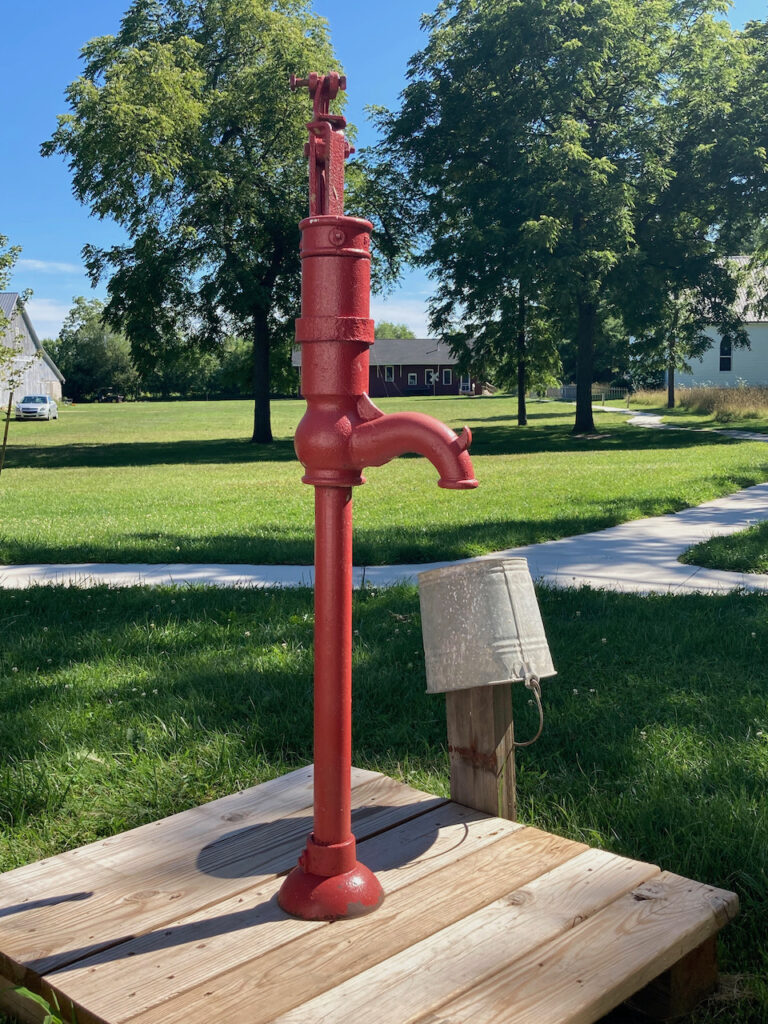
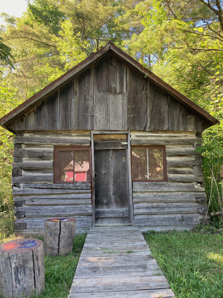
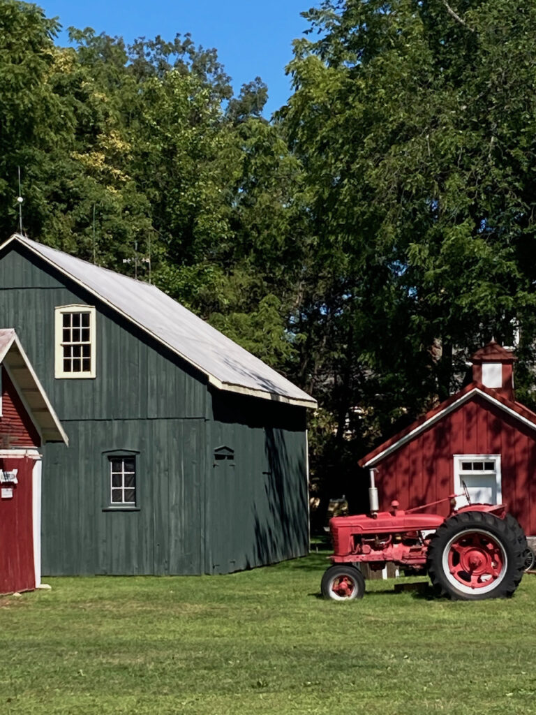
- Port Sanilac Historic Village
Our Spaziergang (translation – land excursion… we try to do one in every port) in Port Sanilac led to the historic village and museum. The village is a collection of antique buildings on the 10 acre grounds of a Victorian doctor’s home.
The Loop House 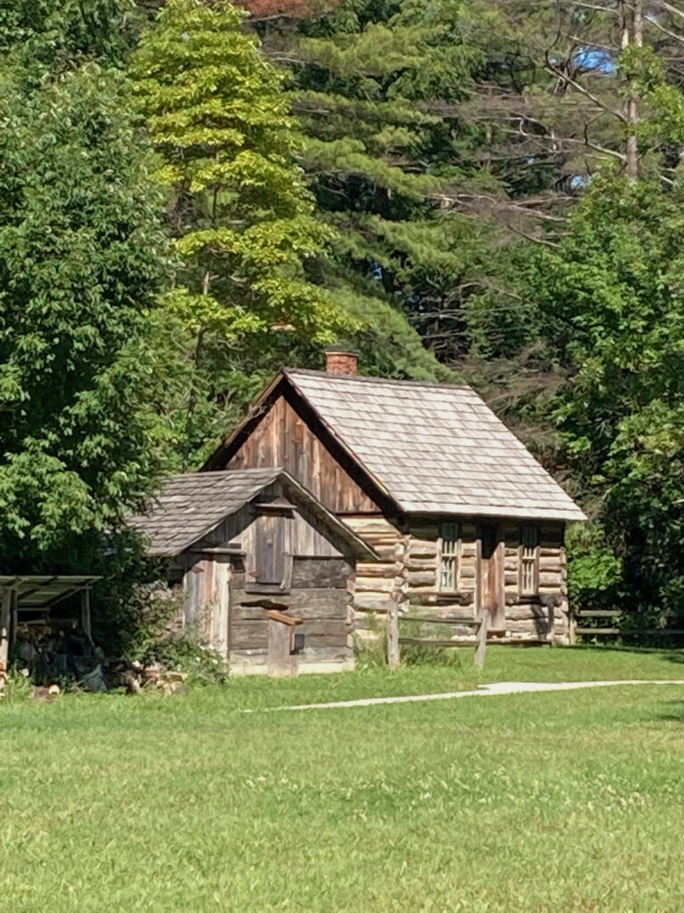
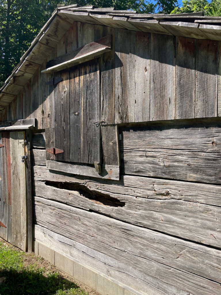
A hand-hewn barn 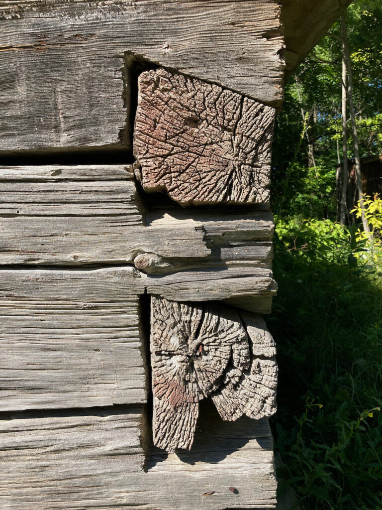
The totems in front of the hunting lodge 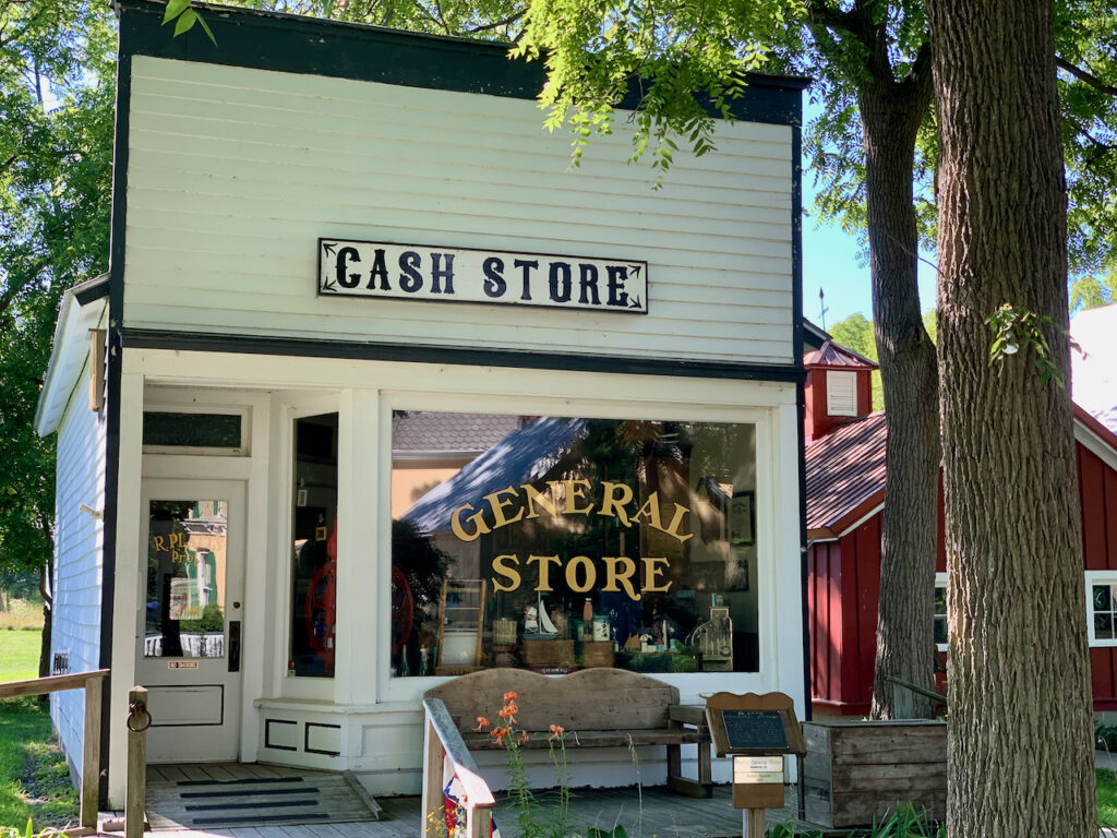

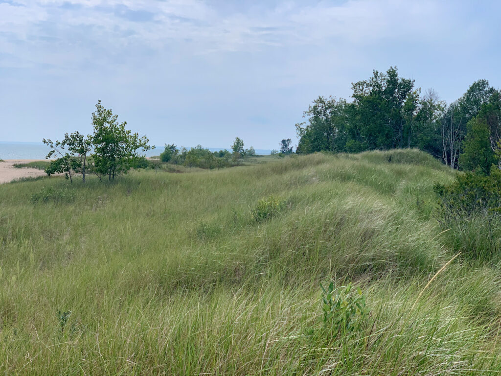
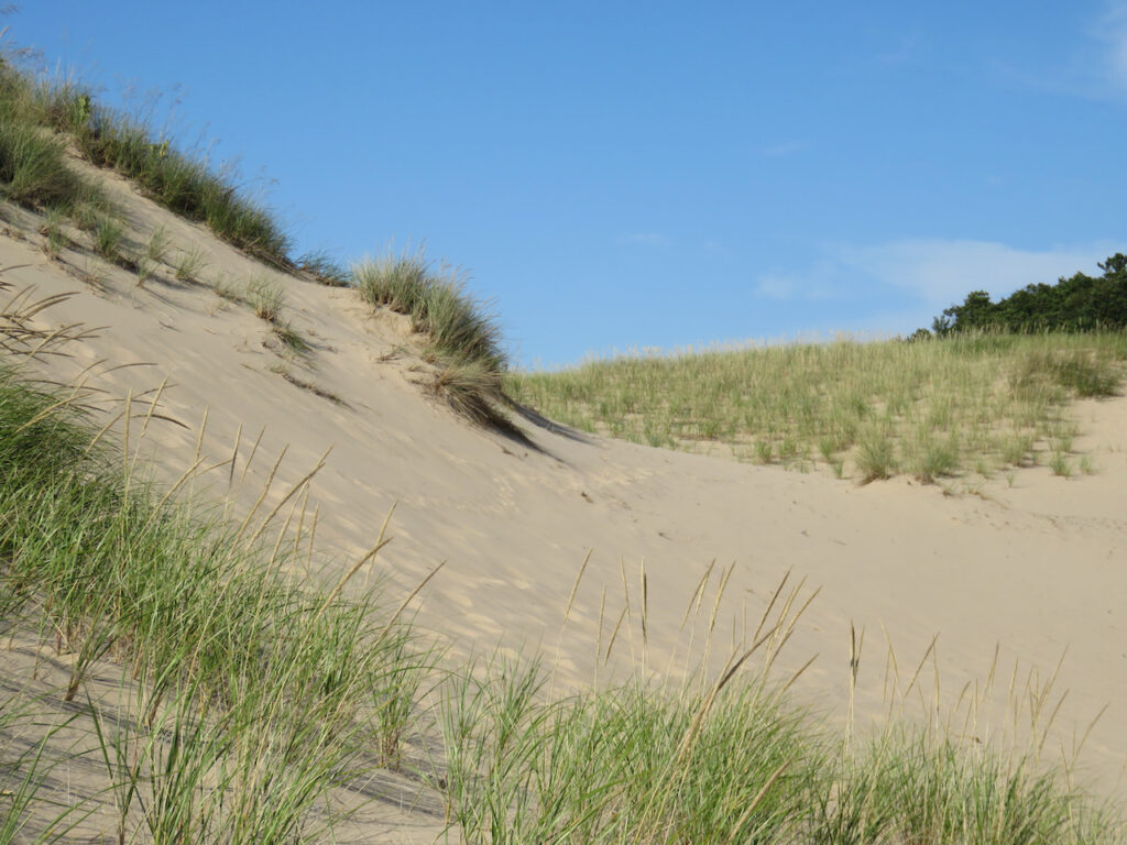
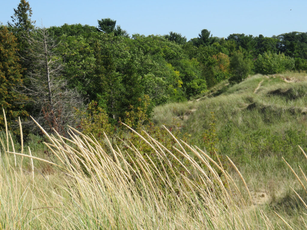
- Tawas Point State Park
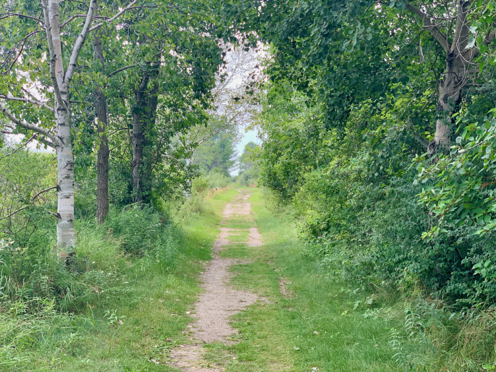
Also known as “Cape Cod of the Midwest”… Unlike our Cape Cod, we were encouraged to walk on the dunes (Sandy Hook Trail) and wander through the magical changes of landscape.


Of course, we had to see if Marion’s ice cream was better than Four Seas’… while good, it was not. Our Cape Cod’s ice cream supremacy is intact. 😋 - Presque Isle Redux
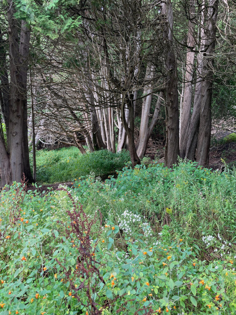
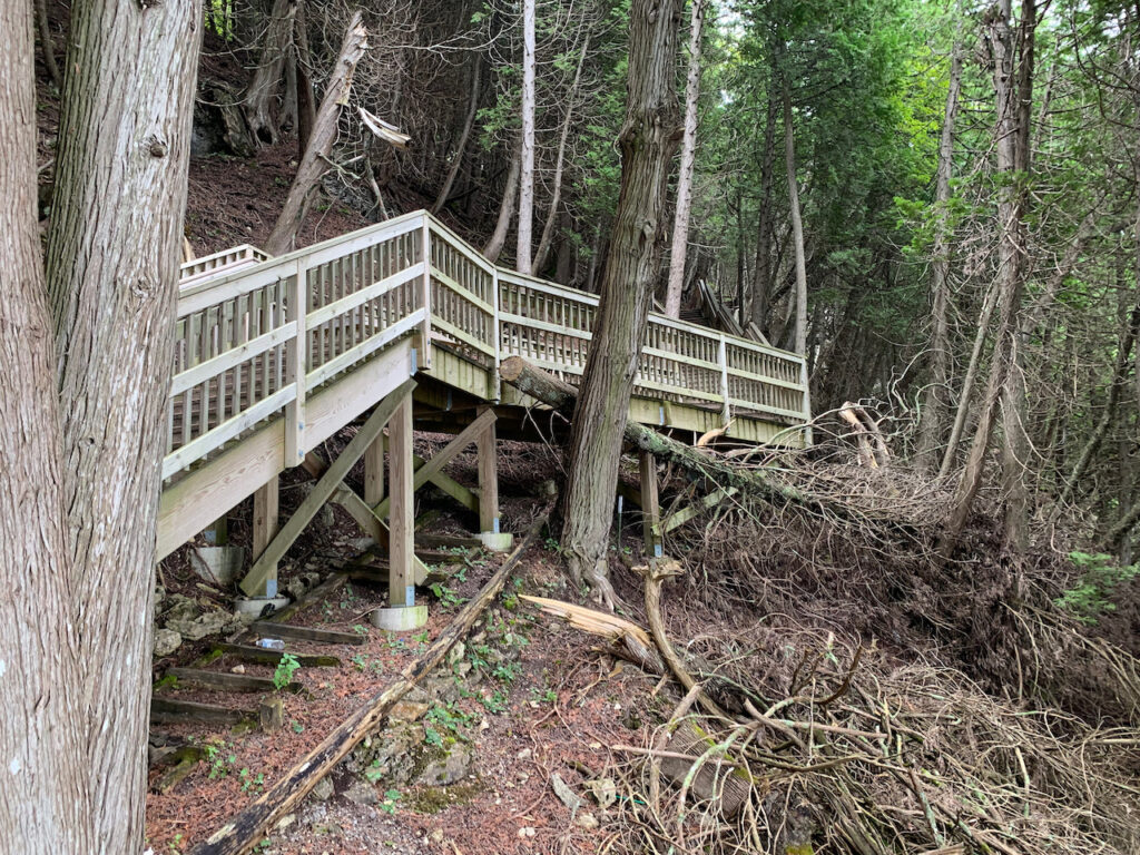
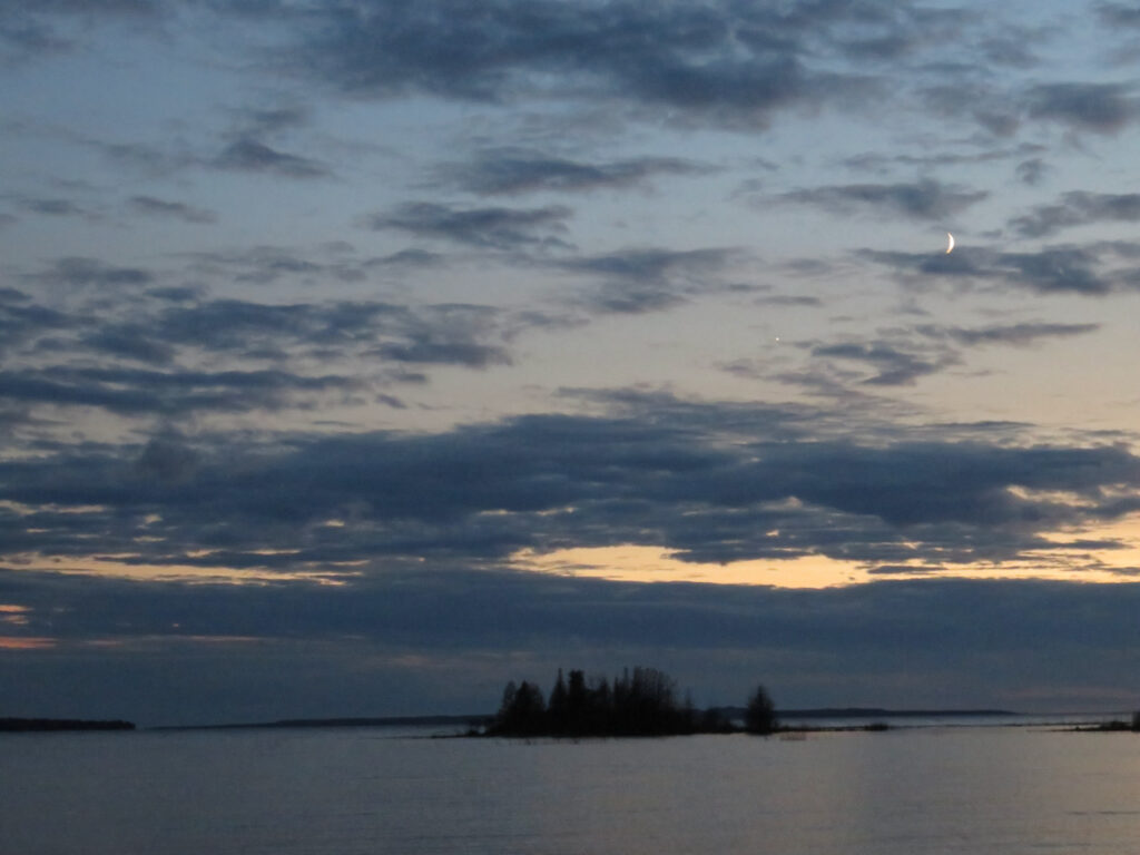
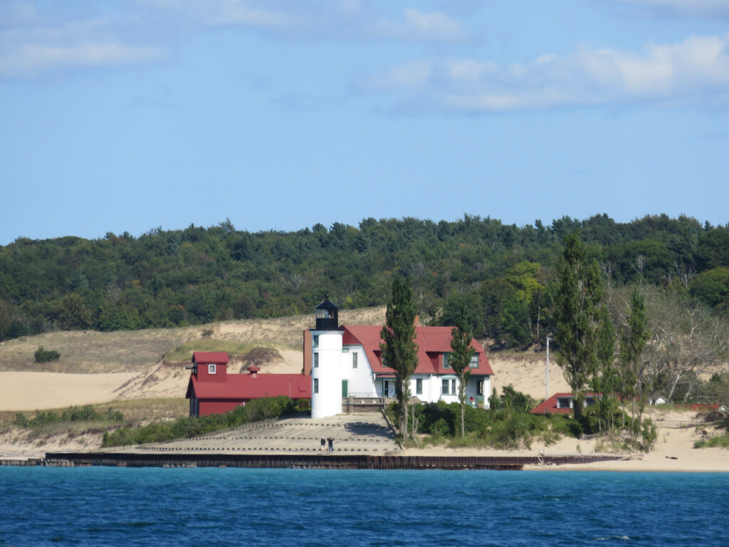
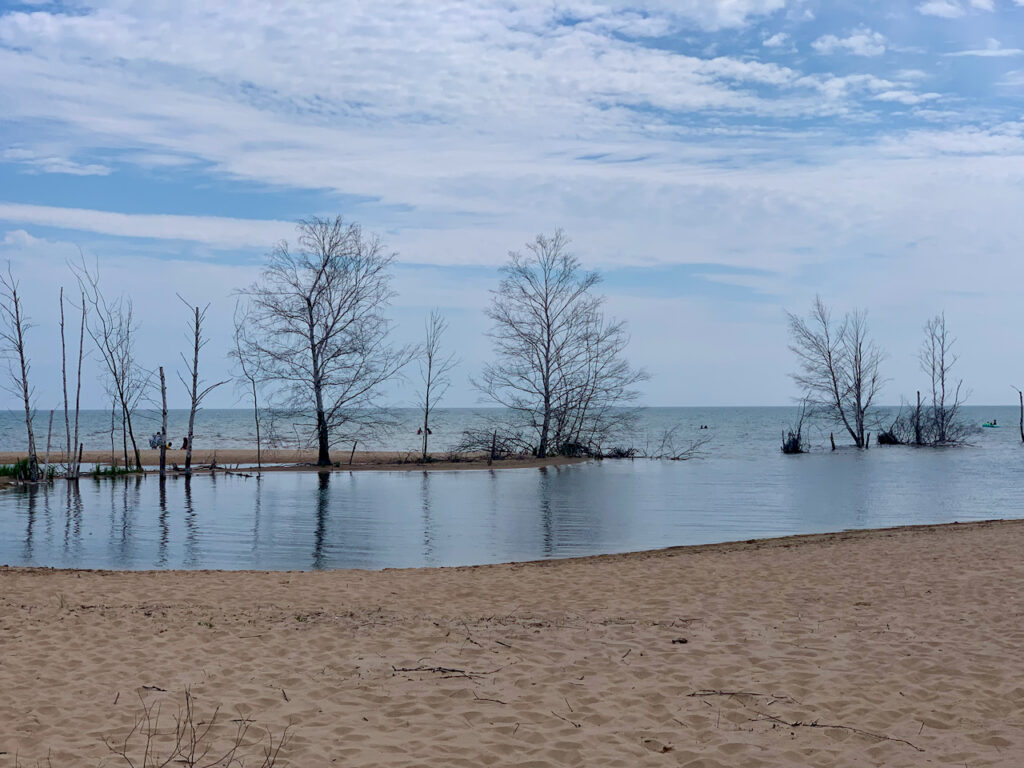
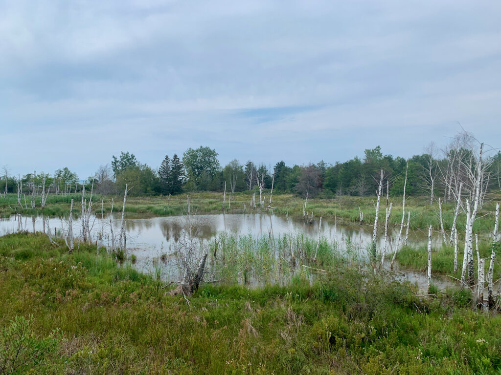
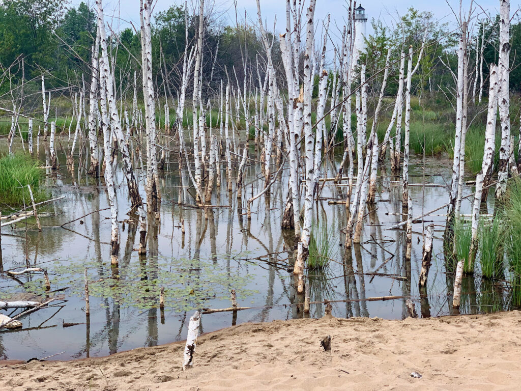
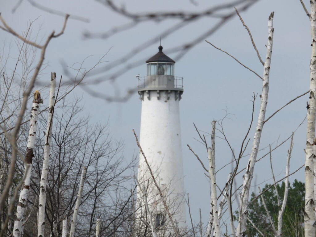
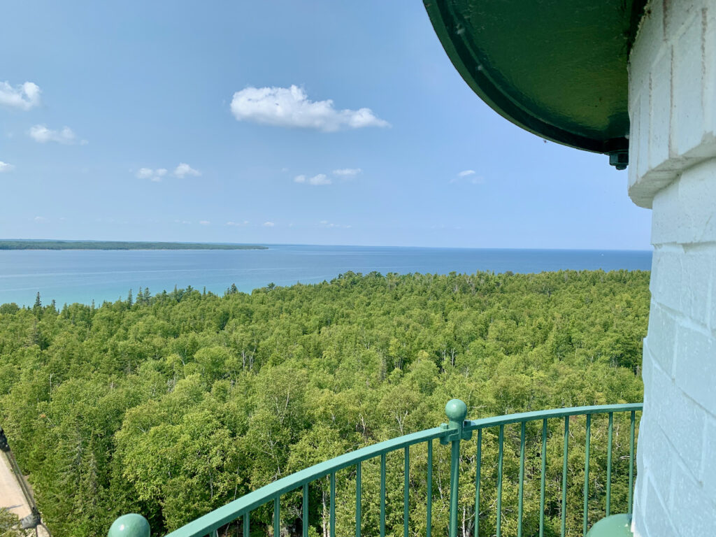
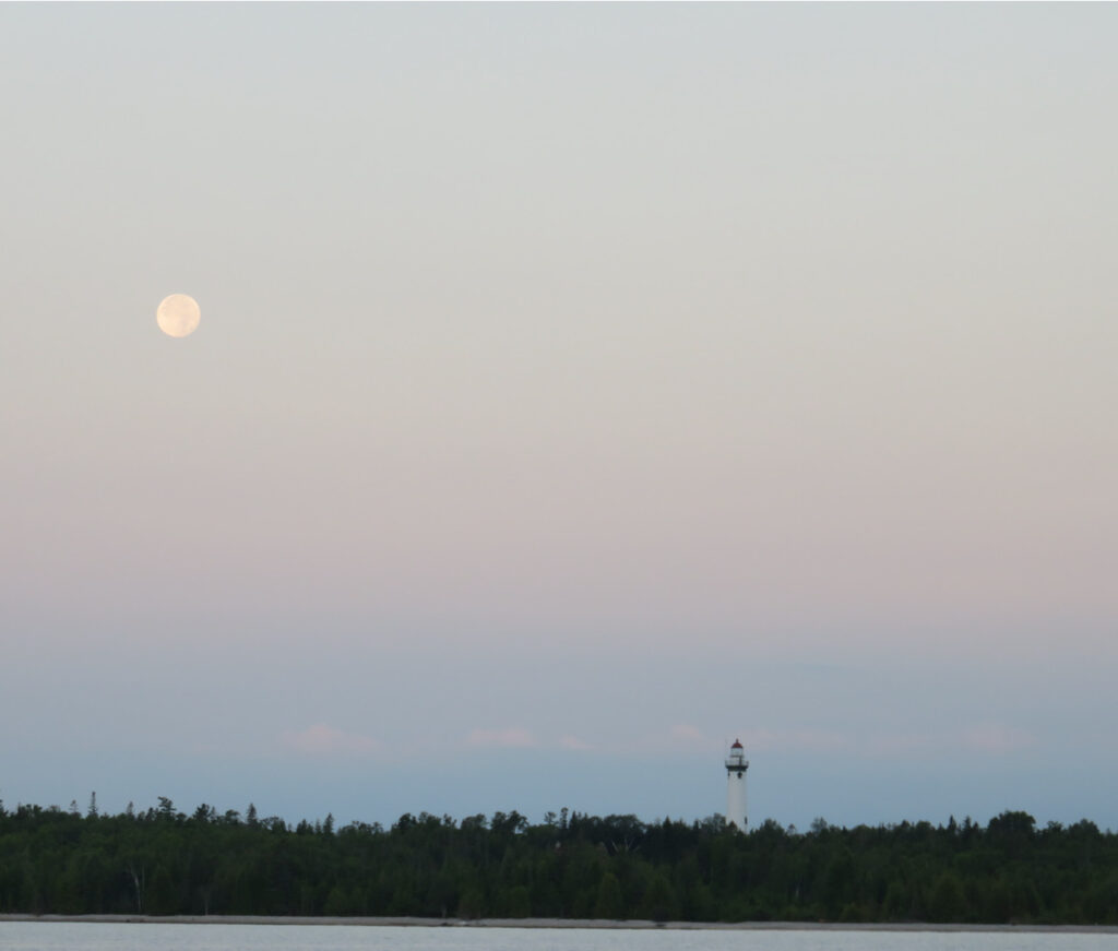
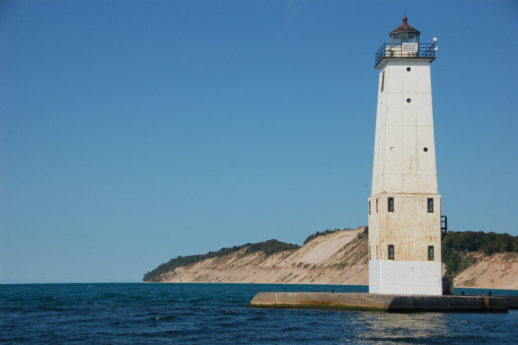
Actually, not the same Presque Isle… the first was in PA and pronounced Presque “aisle”, this one is in MI and pronounced Presque “eel”. It was, like the first, a perfect anchorage. We stumbled upon a surprising woodland hike, climbed light houses for a Fresnel lens-eye view of Lake Huron and enjoyed the full moon over the last of the “up North, Sunrise side” of Michigan that we will see.

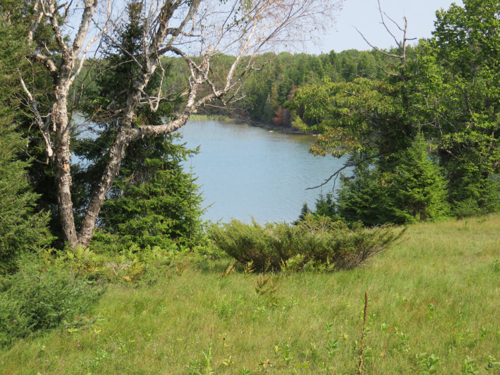
Presque Isle Harbor and the pond inside North Albany Point

The local community has cordoned off land for non-motorized vehicle recreational use and allows transient boaters to come ashore and enjoy. We walked a 2 mile trail which began at the harbor’s shore and meandered through the woods around the pond on North Albany Point.
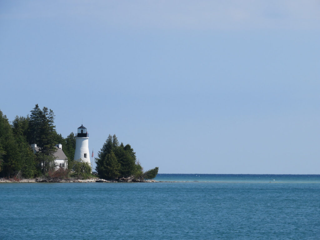
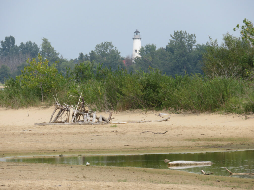
Presque Isle actually has two lighthouses less than a mile apart. The first lighthouse, built in 1840, was rendered useless by its location and height. Thirty years later, the lighthouse in operation today, was built 80 feet taller and 2 miles further north for a visible range of 22 nautical miles.


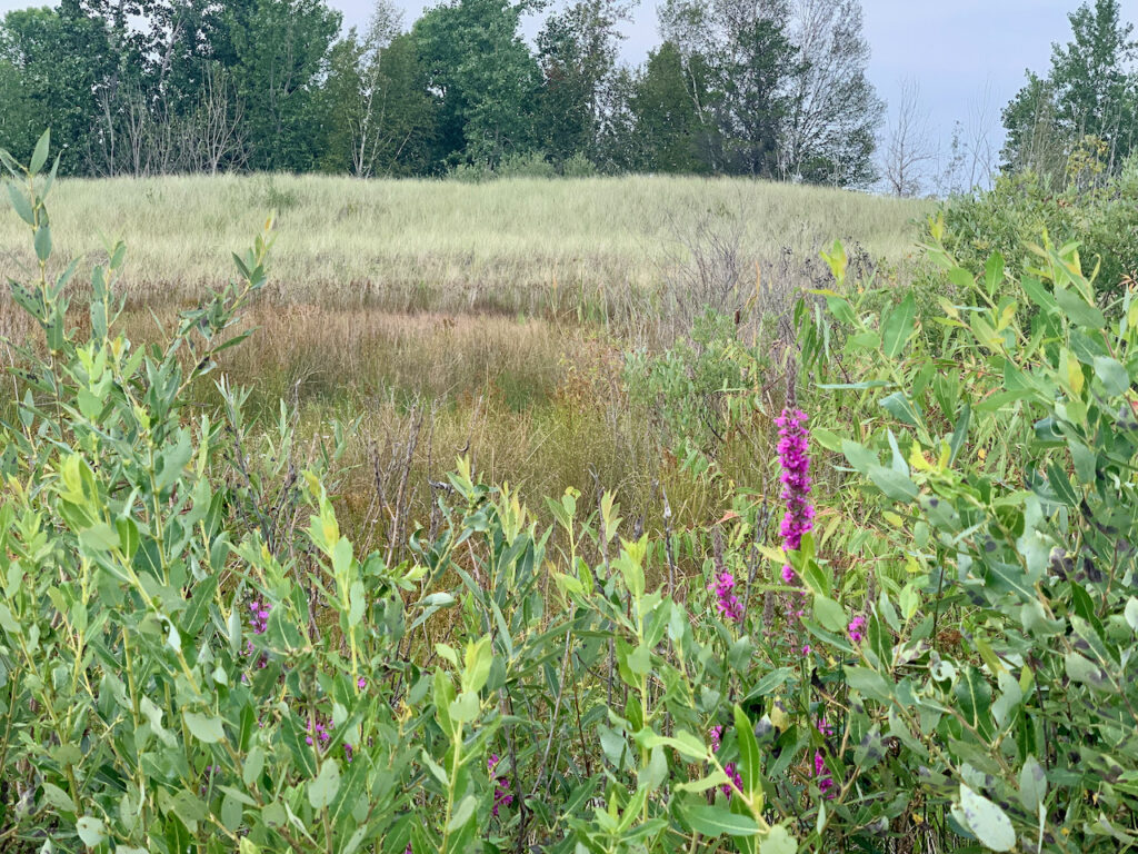
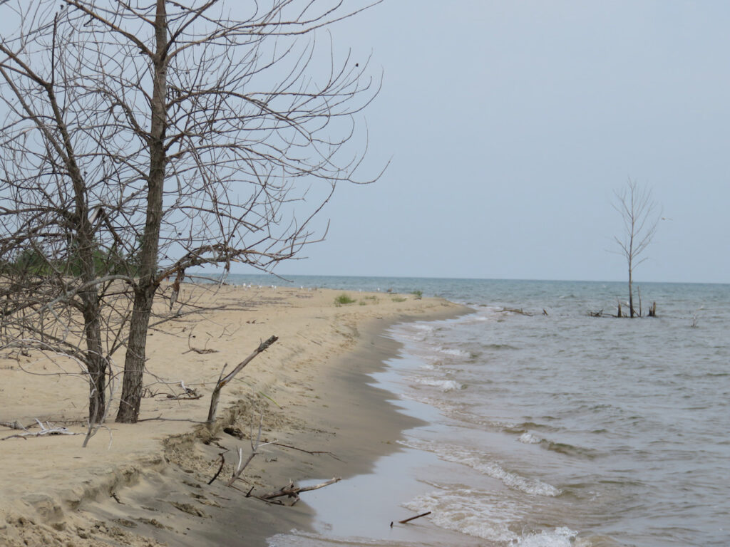
Presque Isle Harbor is separated from North Bay by a tiny sliver of land… The northern pine forests spring from the shores of both bays but the beaches are very different. The wind changed direction on Sunday and North Bay is NOT where you wanted to be anchored!
- Vacationing in the UP, MI
We made a bee-line up the “Sunrise Side” of Michigan to make sure we would be in St Ignace on the first of September. The wind and weather cooperated nicely and we were able to drop more than a few anchors around Michigan’s Upper Peninsula (UP) as we passed a major milestone: we have left the most northern point of our adventure and are now, officially, heading south.

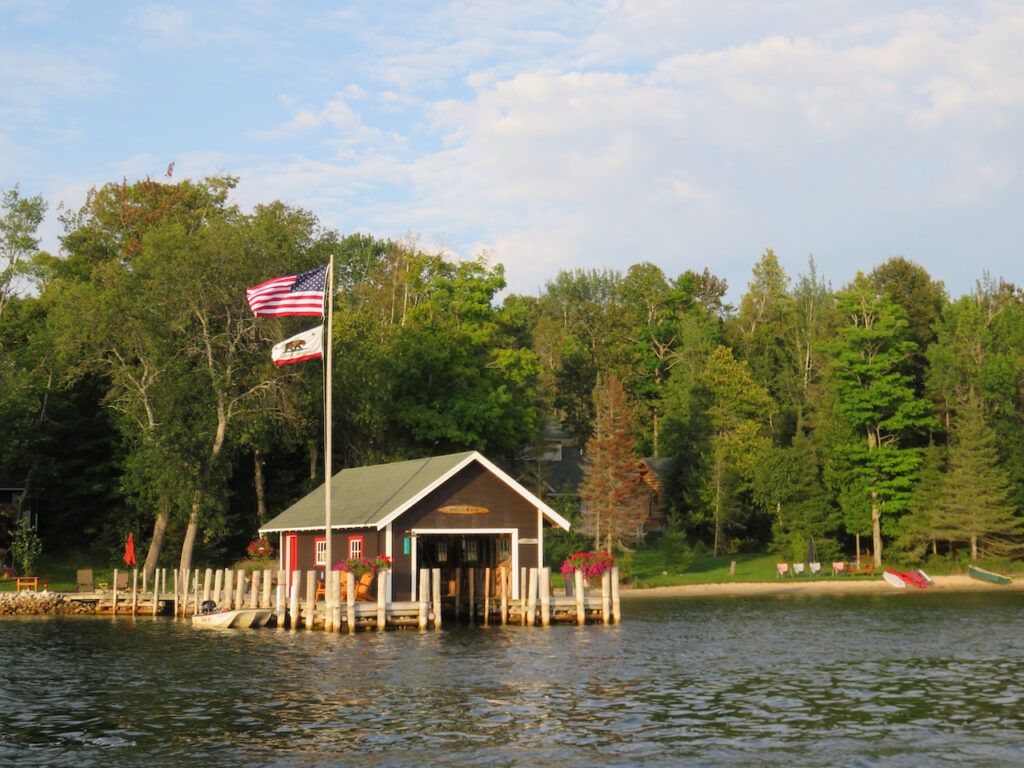
Much of the UP was sparsely populated, home only to wild life and those lucky enough to have summer cabins. Drummond Island offered a Jeep Week Festival and multiple off-road trails but was short on bike paths and restaurants. We learned that summer help was sparse this year so some places never opened and/or were closing the summer season, before Labor Day, because the students were returning to school.

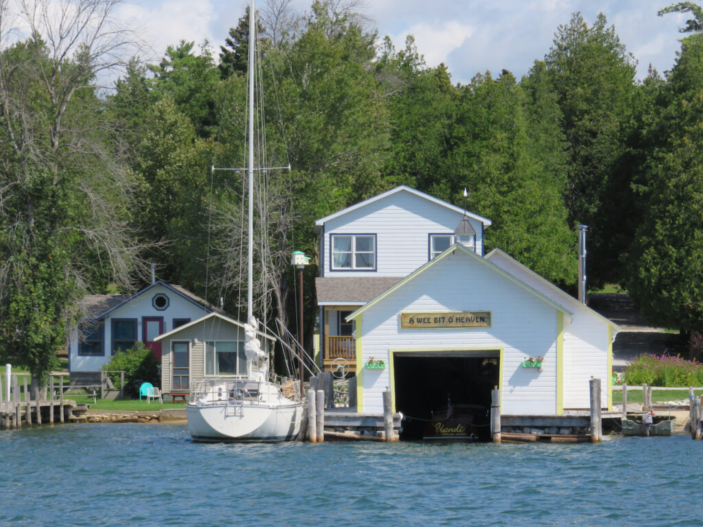
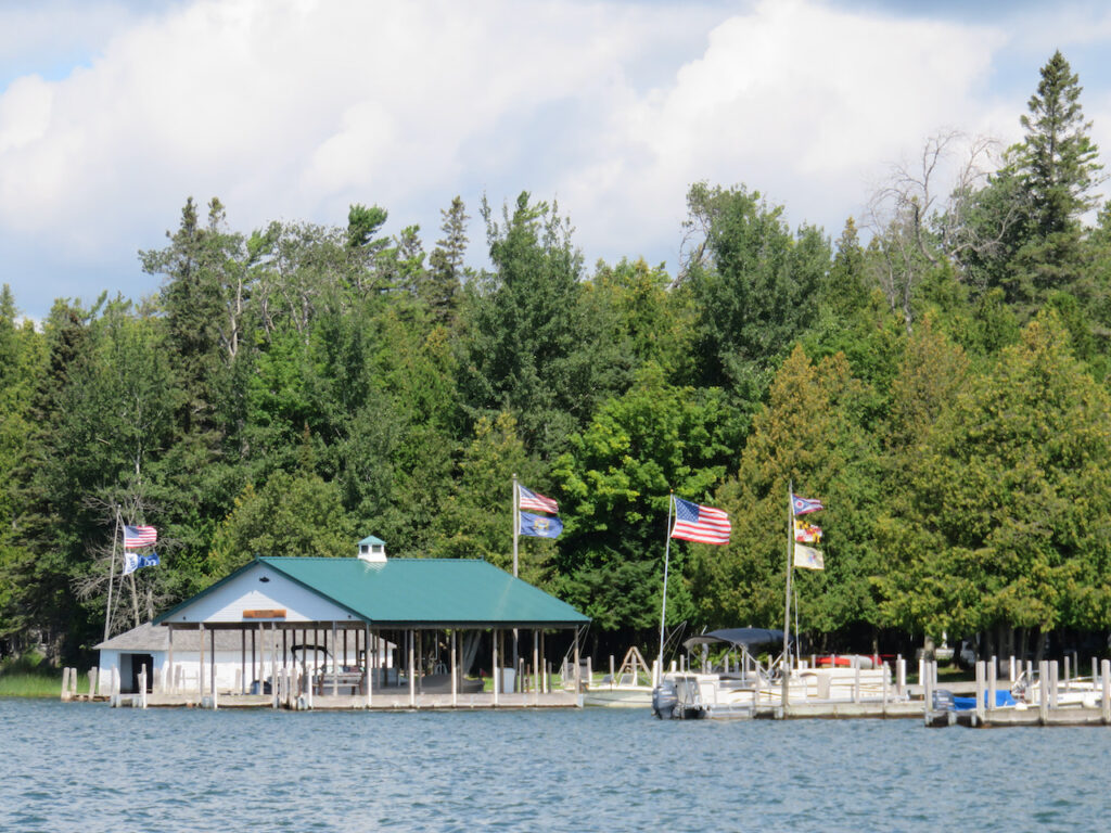
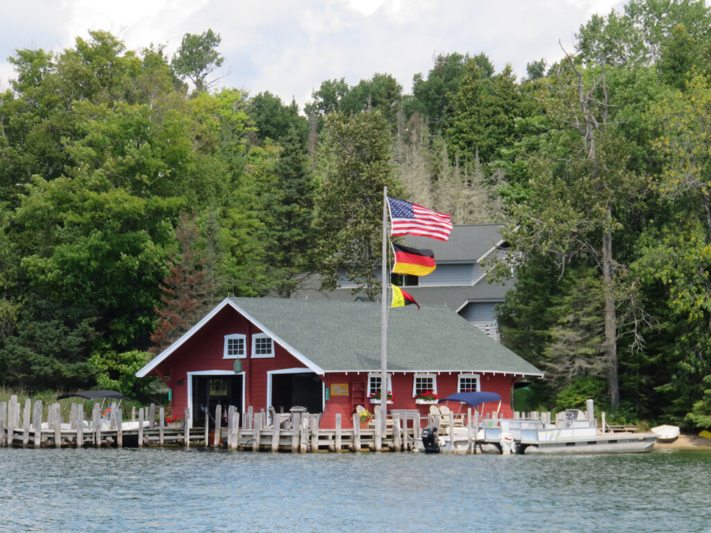
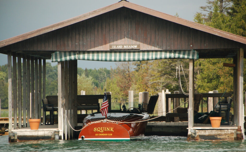
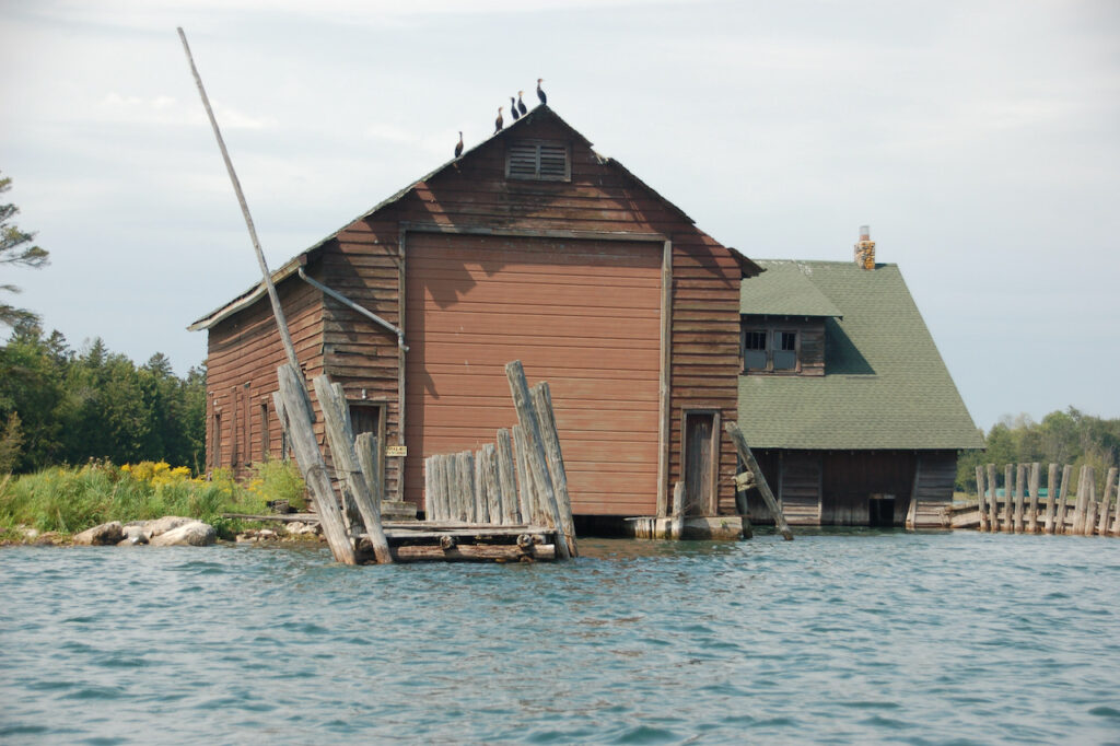
We cruised through the Les Cheneaux Islands on our way from Drummond to St Ignace and were struck by the similarities to The Thousand Islands: rocky shoals (yikes!), boat houses and Clayton, NY’s sister city – Cedarville, MI.
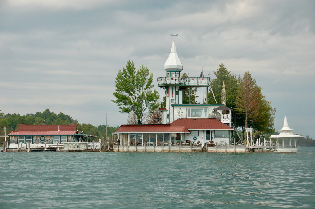
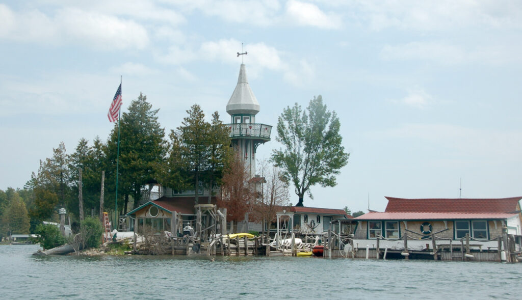
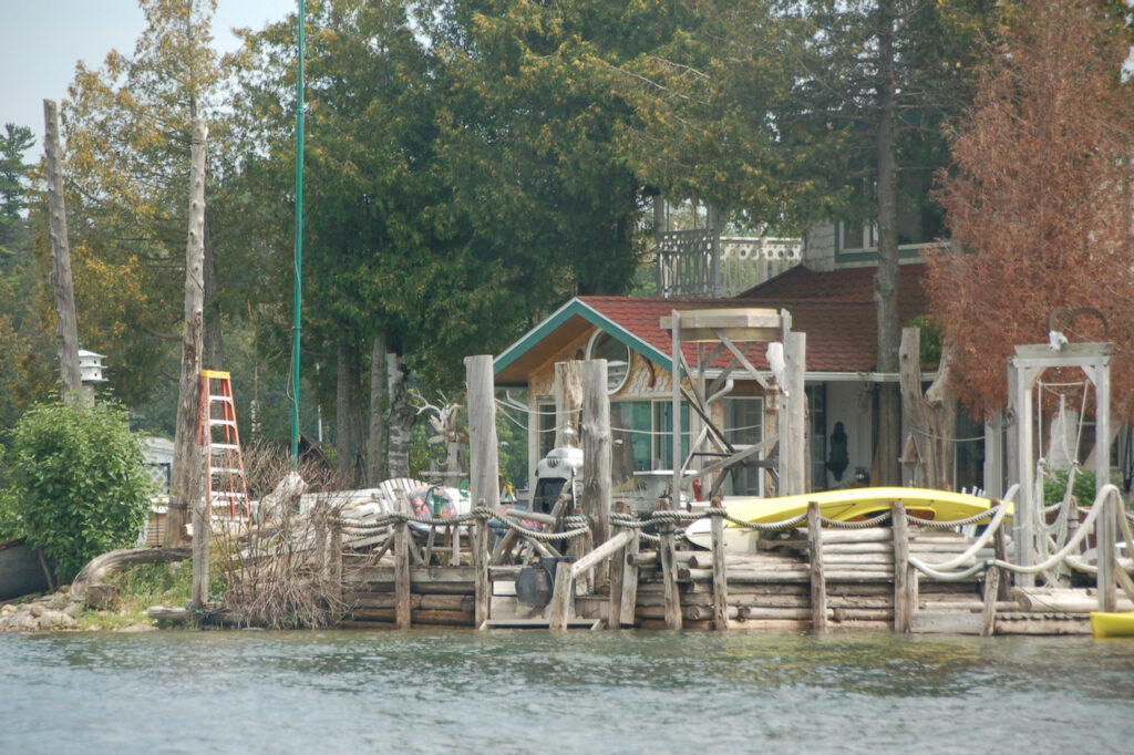
The “One of Everything House” on Dollar Island was strangely attractive…
Another first this week was a weather delay… the forecasted thunderstorms and wind had us staying in Hessel for an extra day. This one was transitory so we still had our dinner at the Les Cheneaux Culinary School 😋.


In short, the UP proved an eclectic mix of cultivated and raw beauty…
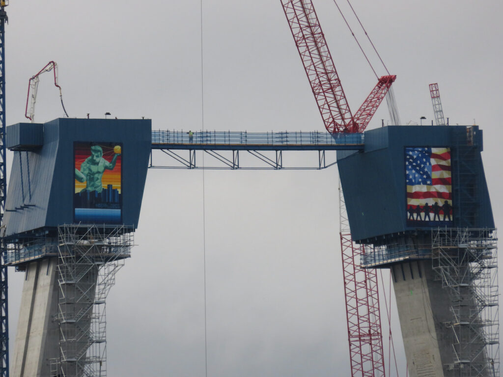
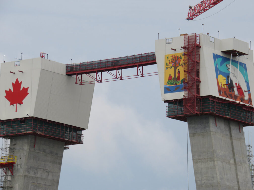
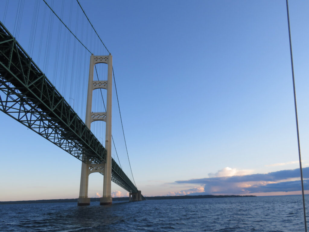
- Over the Mighty Mac
We joined 21,000 others for the annual Labor Day Bridge Walk on Monday the 6th. The walk is over the Mackinac Bridge, from either end, between St Ignace and Mackinaw City. As over-achievers, we walked both ways, 5 miles each, and are now known as “double-crossers”.

Leaving the marina at 6:40A to try and catch Governor Whitmer and the start of the walk. 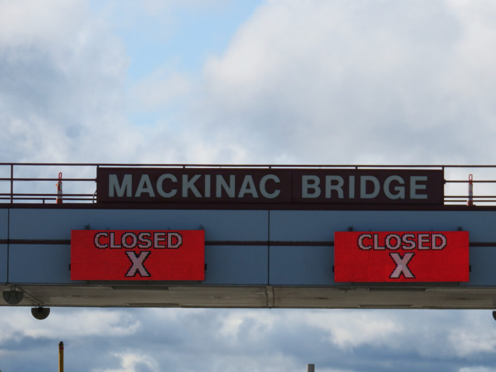
In 1954 there was no provision made for pedestrians so in order to walk the bridge, the entire structure needs to be closed. 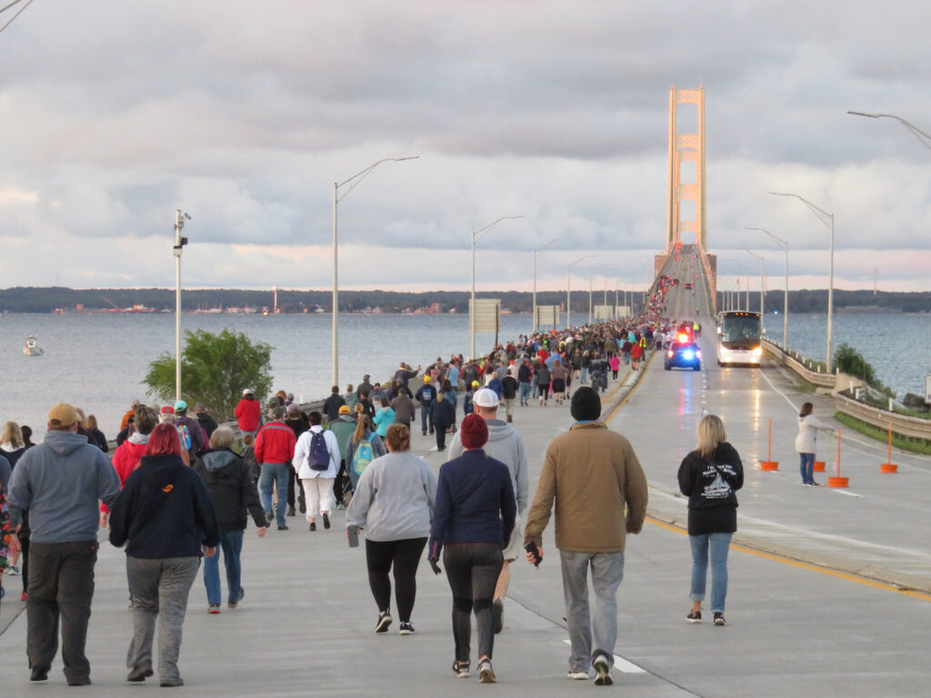
The over over-achievers at the start. 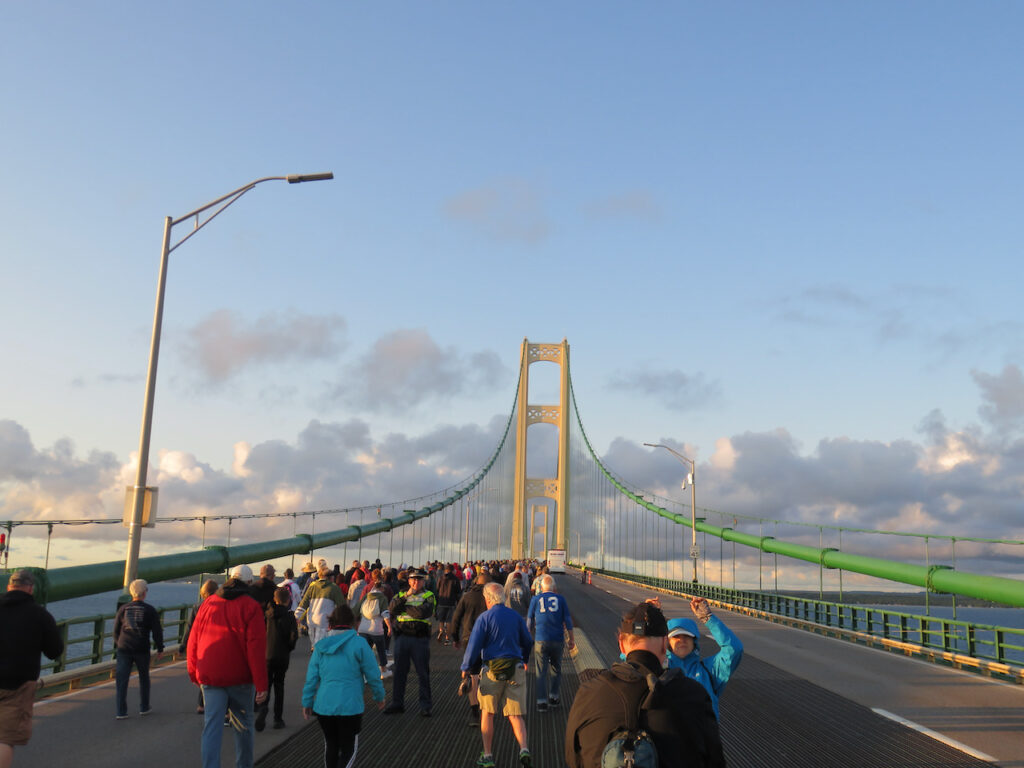
A beautiful, brisk, morning constitutional for 21,000. We were rewarded with breath-taking views of Lake Huron for getting up and out so early.
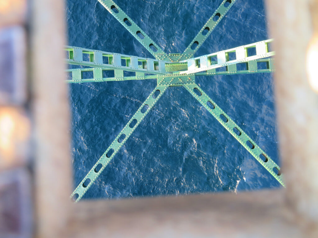
Looking down… 
…and up! 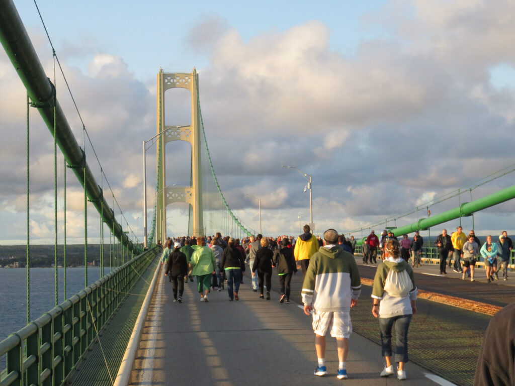
We met the starters from Mackinaw City about half way. 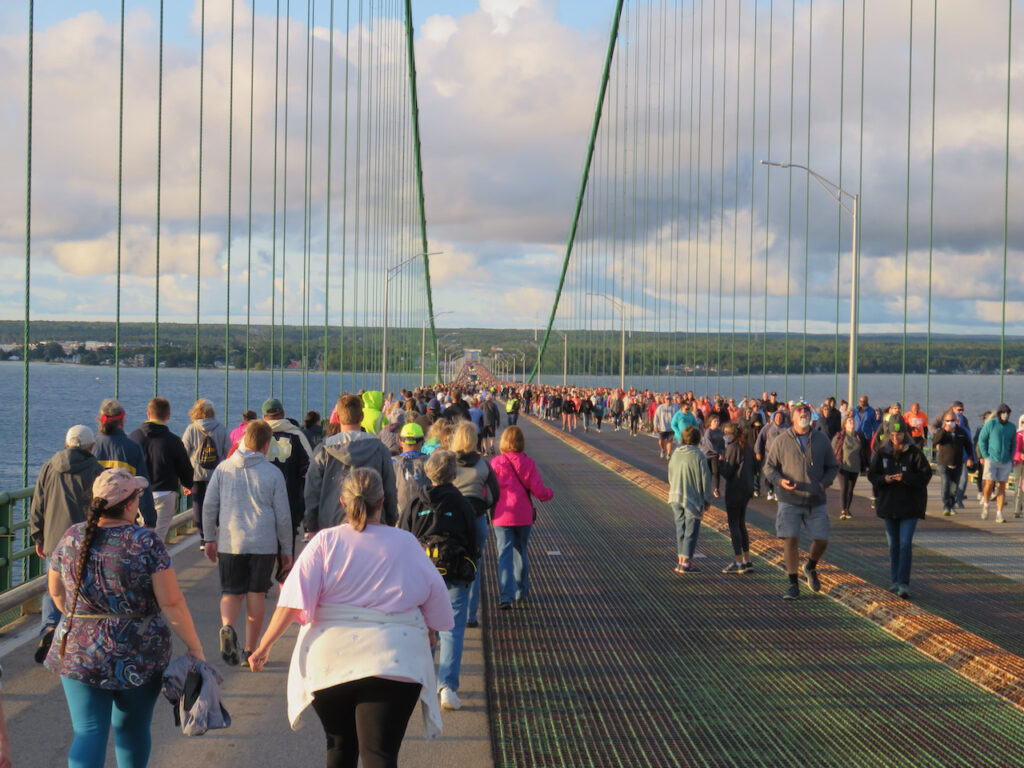
Walkers as far as the eye can see! 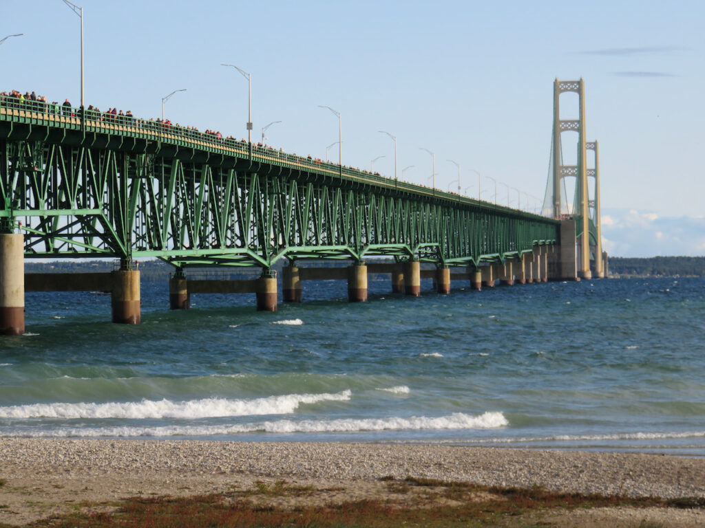
We took a short rest in Michilimackinac Park… 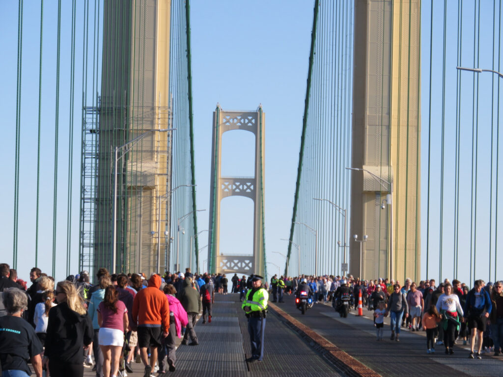
…then headed back to St Ignace. 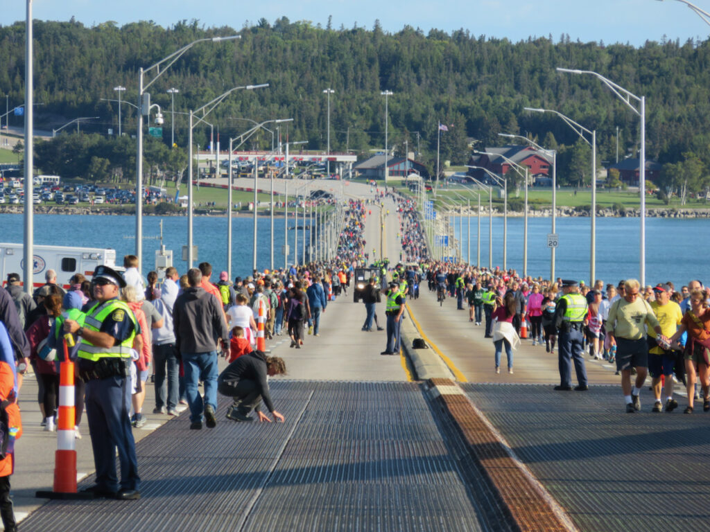
Back to where we started. 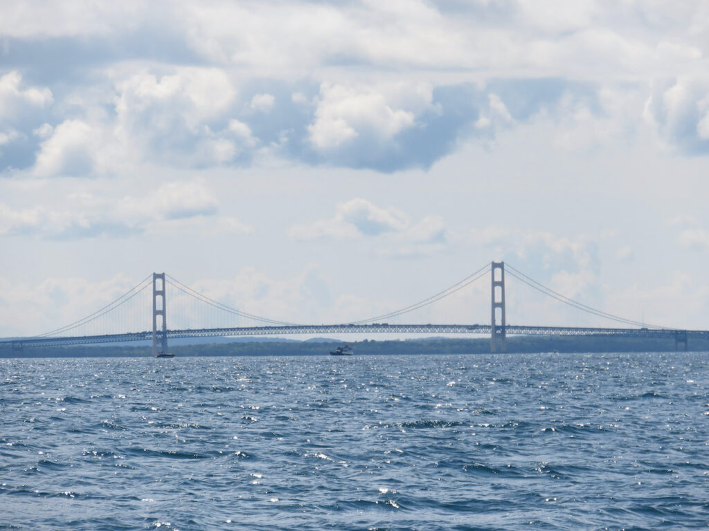
In the event you have never seen the iconic image of Mighty Mac, this is for perspective…🙂 - Under the Mighty Mac
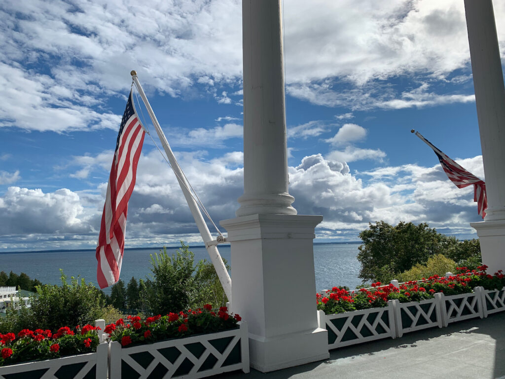
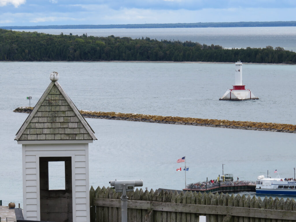
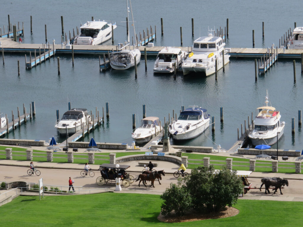
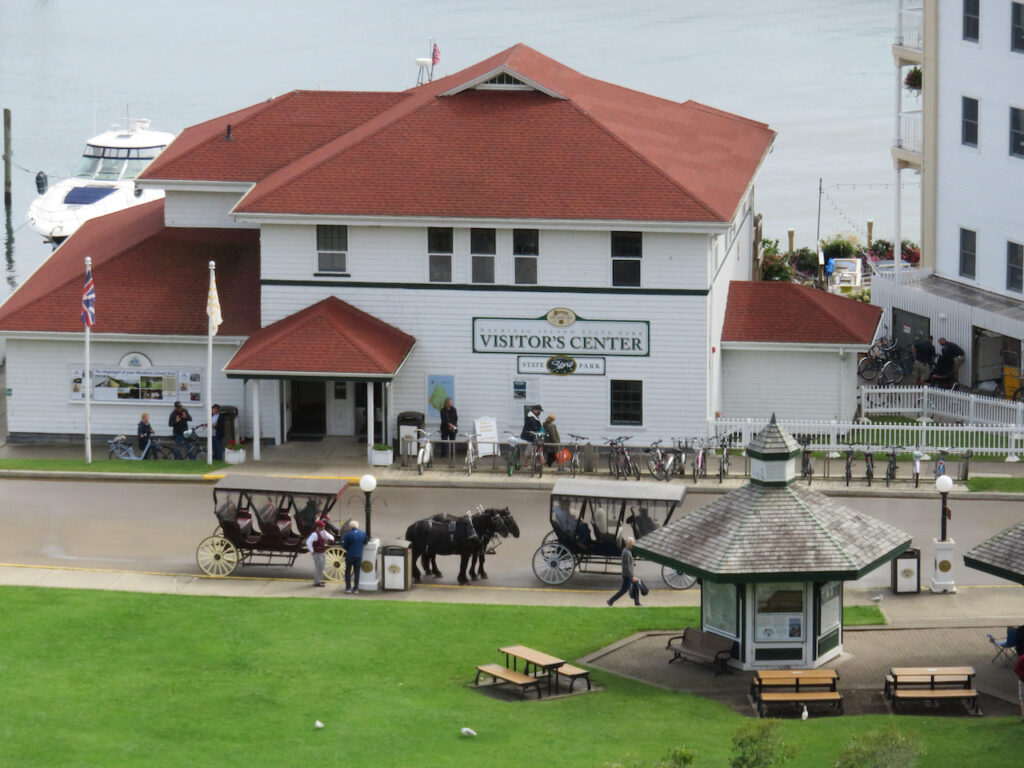
As of yesterday, we are now officially on Lake Michigan! Before we crossed under the bridge we made a stop at Mackinac Island. This was a “tourist” stop, for sure, but we both left the island wanting to return in the high season. It was enchanting…
On the other side of the bridge was Garden Island. Where Mackinac was busy, filled with people and retail, in the bay at Garden Island, you could imagine being one of the Indians or traders who frequented its shores in the 17th century. It may be our last secluded anchorage for a while and we would have loved to stay another day but there is a famous Lake Michigan autumn wind storm on the horizon💨💨💨.
Mackinac Island
Another reason we are enamored of the island… 
Even the Amazon packages are delivered by horse and cart! 
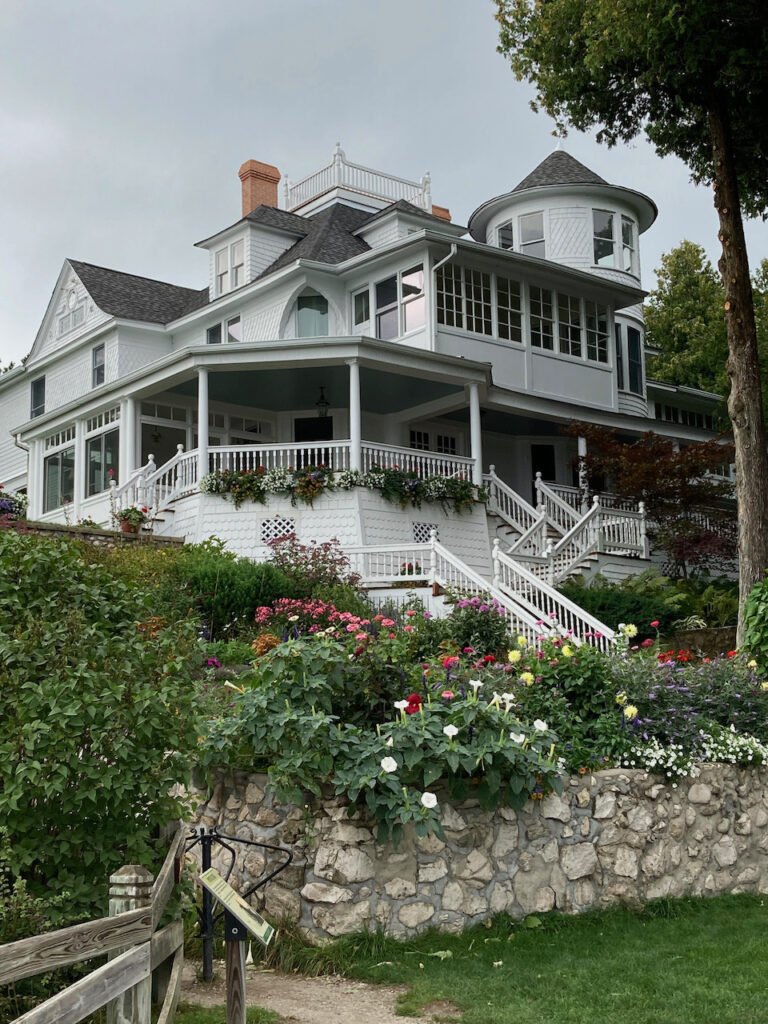
The Grand Hotel… and it is! 
Elegance from an earlier time… 
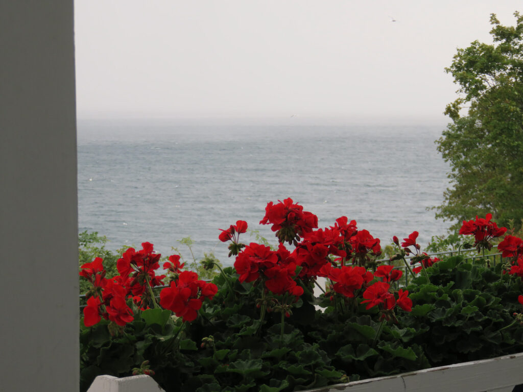
spectacular gardens… And the Geranium Bar where we enjoyed a very civilized cocktail and watched the weather go by.
The island has summer “cottages” to rival Newport and Jamestown, RI.
The reason we stayed a second night. 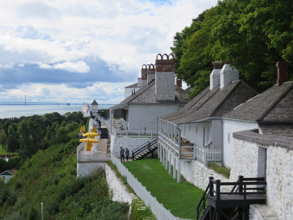
We toured the original Fort Mackinac to head out of the rain. It was amazingly well preserved and provided the perfect vantage point to view the goings on downtown. 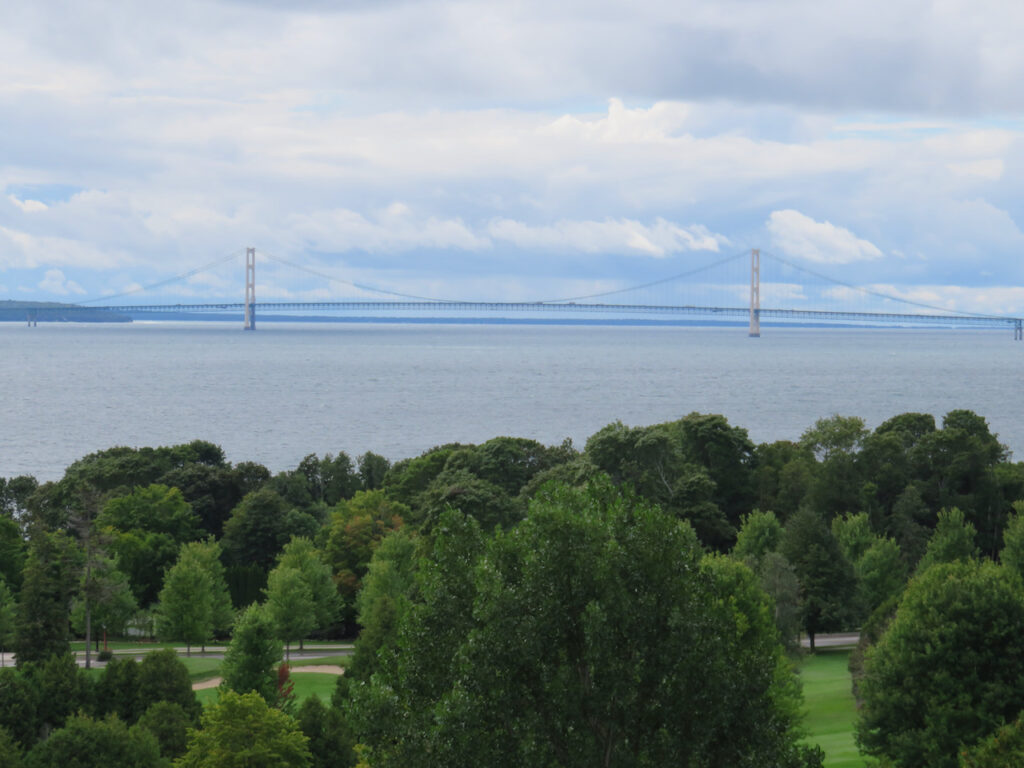
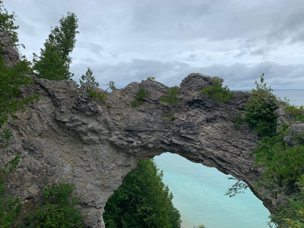
And, of course, the Mighty Mac. If T-shirt shops and fudge are not your thing, Mackinac Island has great hiking trails, too. Luckily, we could leave our bikes at the bottom of the trail and hike UP to Arch Rock.😜
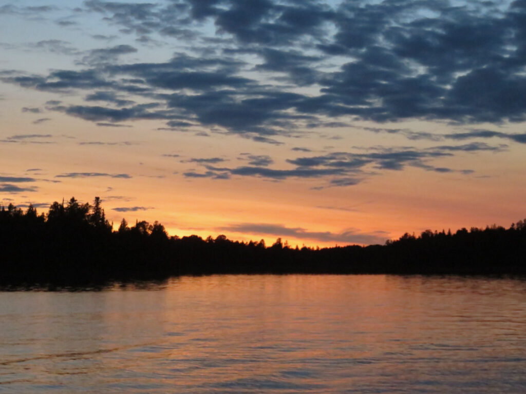
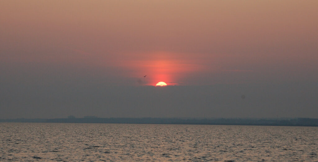
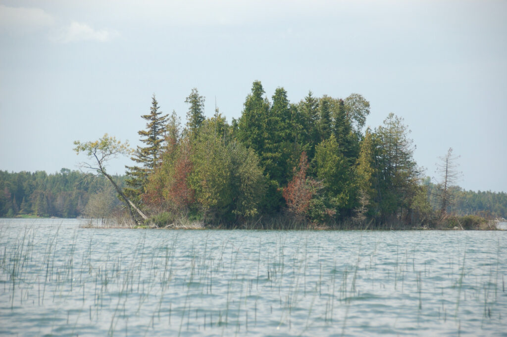
Still the only loons Christian has found since Picton Bay. Garden Island
This may be the last sunrise we send… once we cross to Lake Michigan, we will be on the sunset coast of Michigan. 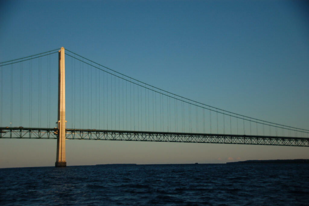
Good-bye Lake Huron, hello Lake Michigan. 
The western anchorage at Garden Island. 
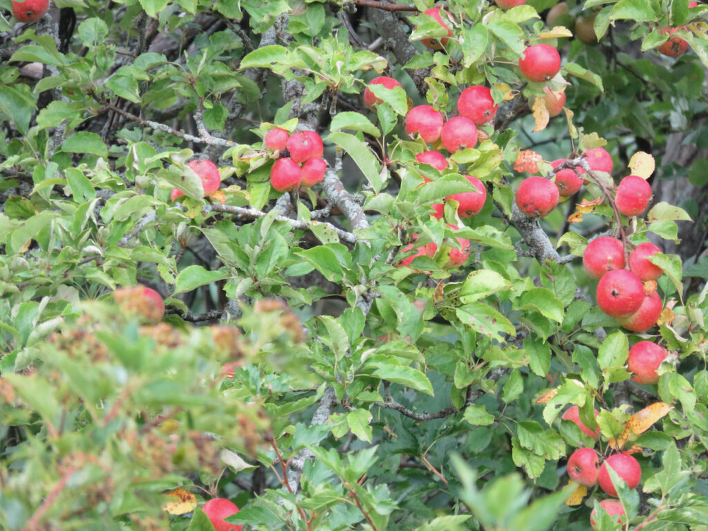
There was a whole apple orchard on the island! And a water garden.
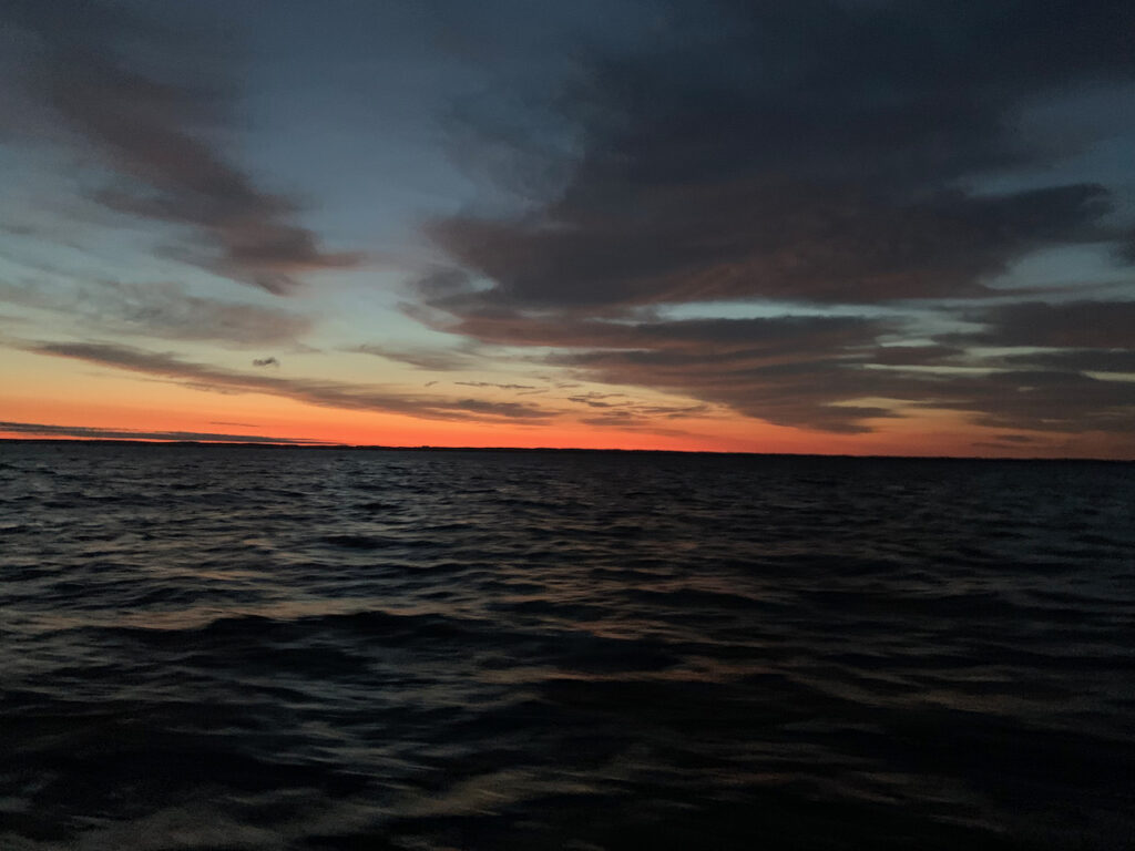
Sunset and moonrise at Garden Island
Mornings which herald the end of summer… - Charlevoix the Beautiful™
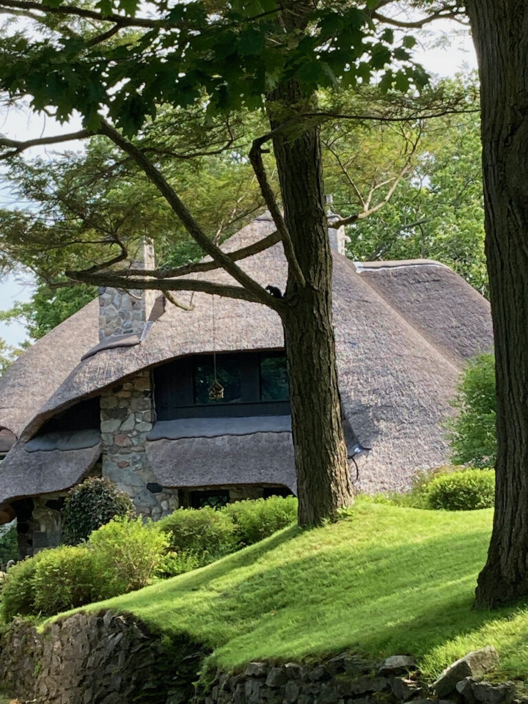
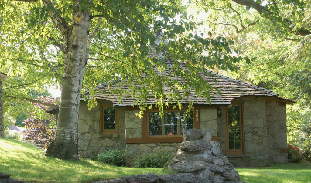
Charlevoix was our first stop on the West Side of the Lower Michigan Peninsula. The Earl Young Mushroom Houses in Charlevoix were a surprise diversion from the weather so we took a tour with Terry.

I won’t do our tour guide justice with the full story of the Mushroom Houses but do remember that this was Earl Young’s mother’s house and part of the inspiration for his subsequent art. You can find more info at Wikipedia. 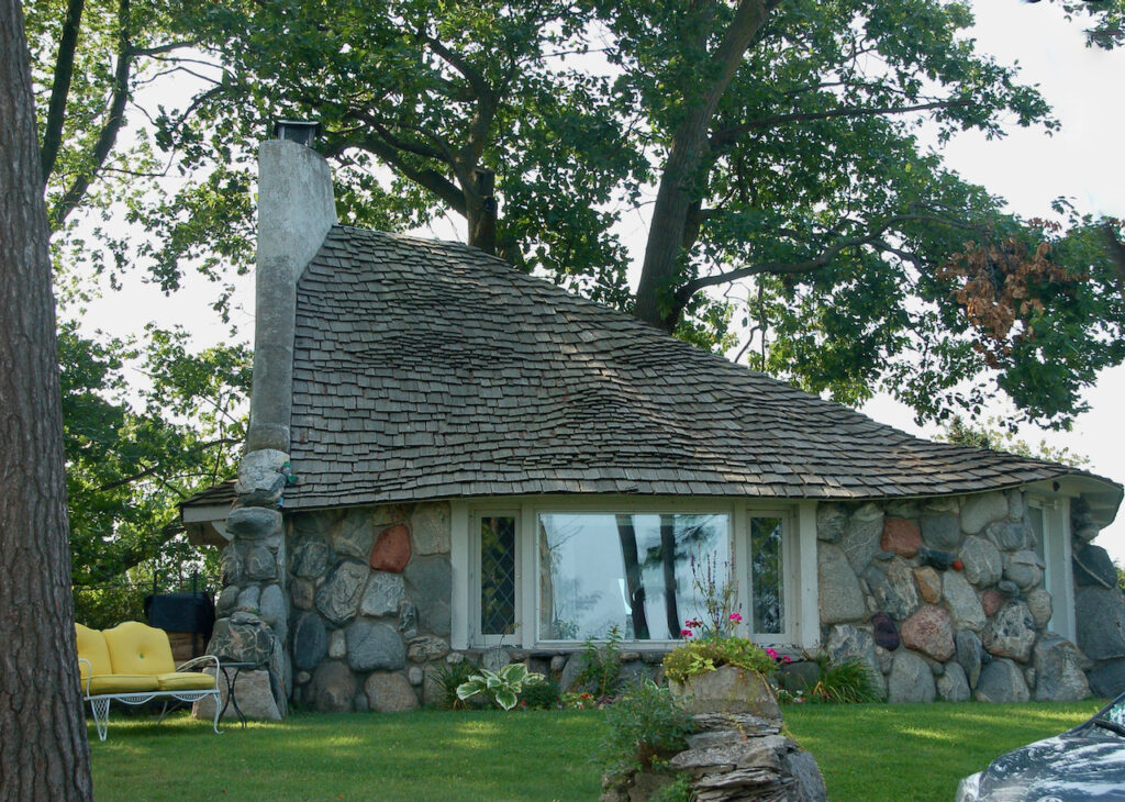
I do remember Terry remarked that this house was a “middle finger to the mayor”. There was a property line dispute, the mayor refused to budge so Earl went ahead and built half of the house he intended anyway… The Thatch House. Many of the Mushroom Houses are available as vacation rentals. This is the largest and most expensive… $1000/night.
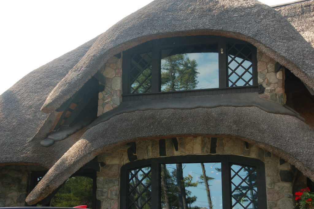
Earl used Frank Lloyd Wright’s trick of hiding the front door on his Mushroom houses. 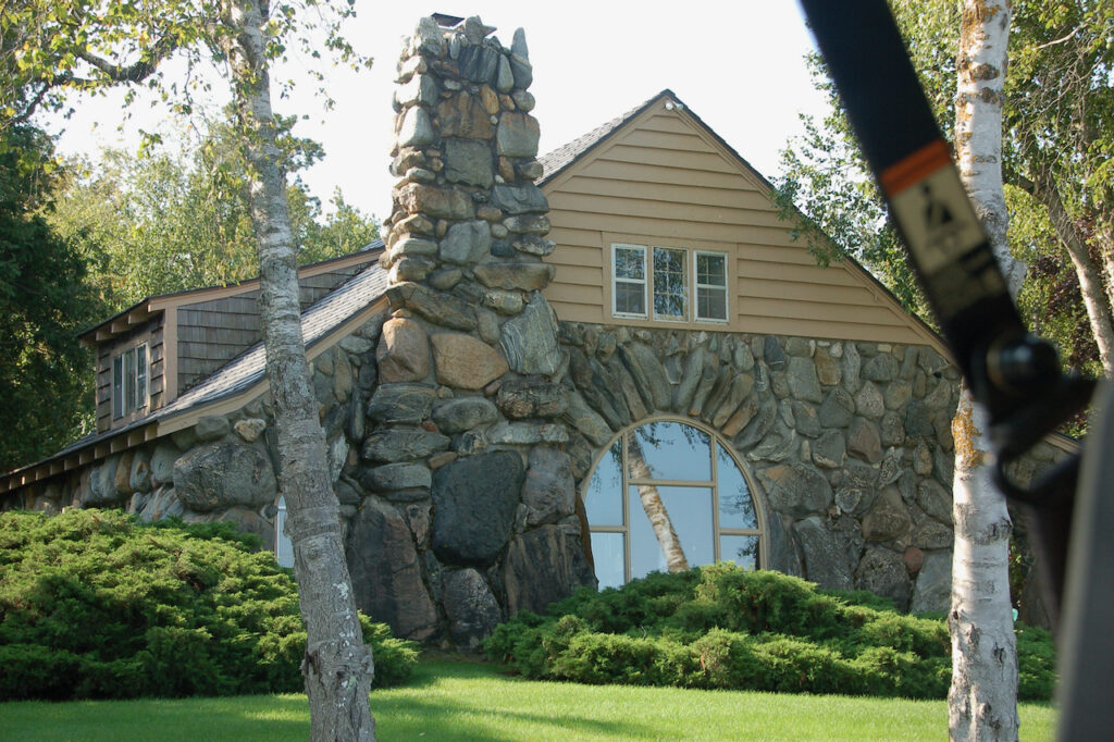
Earl started this house and then lost it during the Depression. We saw a picture of the house with only the chimney and the standing arched stones around the window when the bank owned it. Earl got it back and completed it in the 1930’s. 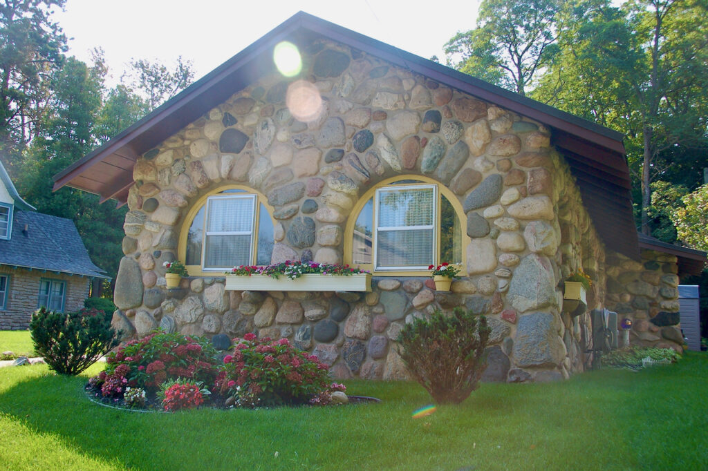
The Owl House 
In keeping with Earl’s aesthetics, the owners of this house maintained the “wrapped roofline” when they had to replace the roof. The original cedar shingles were steamed to create the round edges. I thought this the most spectacular of the properties we saw. It is a rolling lake front lot where the house does not compete with the landscape but seems somehow a natural extension of it.
Earl designed even the fencing and the garden beds with his reverence for, and art with, stone. The undulating fence pattern was meant to evoke the Lake Michigan waves visible from the property.
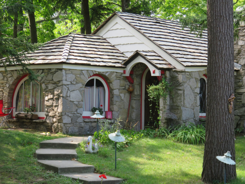
The apple does not fall far from the tree… this property was built by Earl’s daughter
The house that Earl built for himself… 
… and his homage to the sailboats that grace the lake. Charlevoix had other beautiful architecture beyond the Mushroom Houses…
… and many other reasons to agree that its name “Charlevoix the Beautiful” is apt.
- M-22
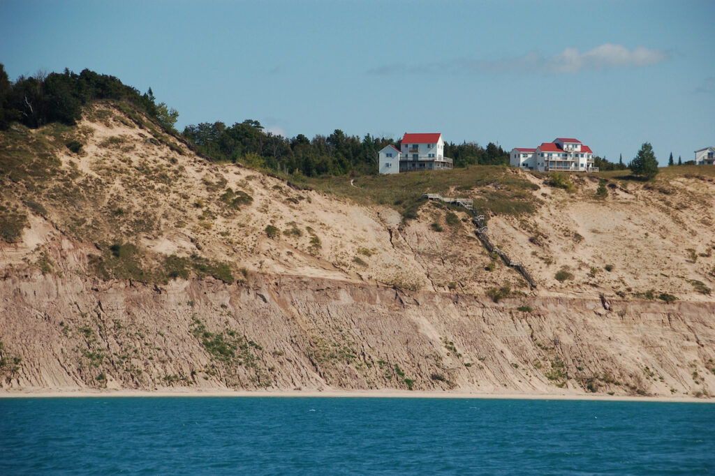
We traversed (😜) Grand Traverse Bay from Charlevoix to Suttons Bay to make distance between the Lake Michigan blows, then spent another long day to traveling to Frankfort to hide from yet another. This is the area in Michigan known for its scenic shoreline highway, M-22, and the Sleeping Bear Dunes National Lakeshore.
Suttons Bay
The Leelanau bike path ran from Suttons Bay to Travis City. We made about two thirds of it before we had to turn around because it started to rain… and our hatches were open.😬 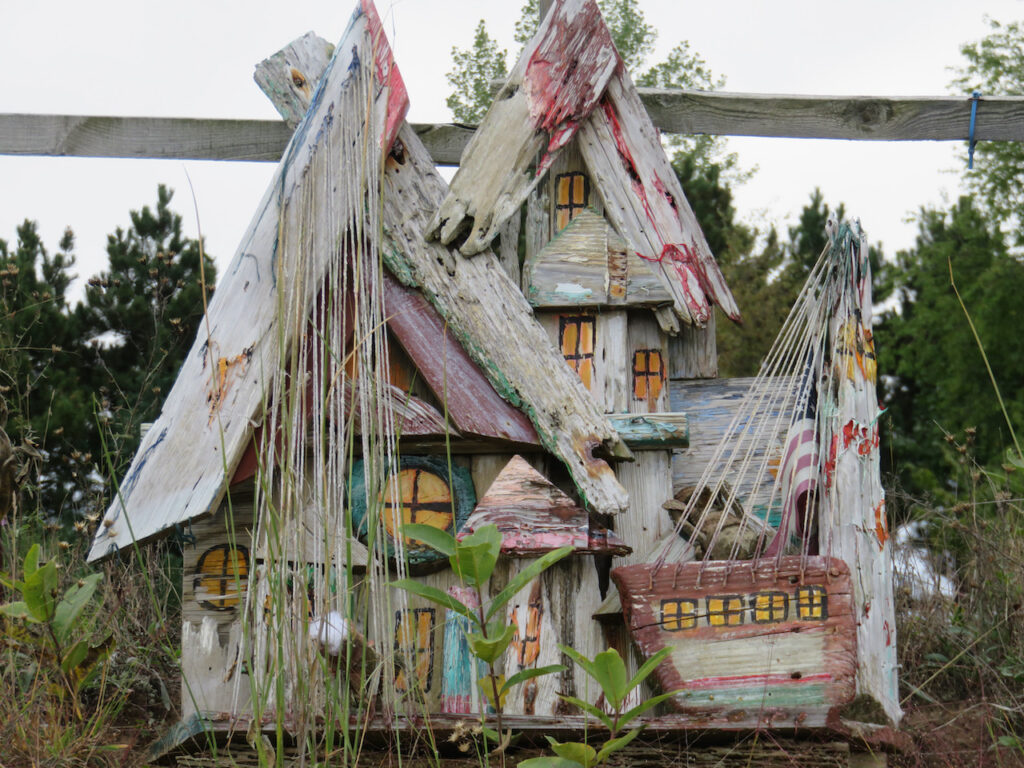
No Mushroom Houses but I do think that Earl would have liked this. The bike path was the best since The Black Diamond Trail in Ithaca. It was a wide, well-maintained, zero grade path through farmland, orchards, wineries and the “Polish Acres”, home of the funky art above.
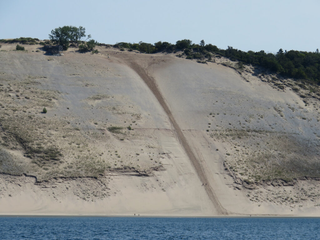
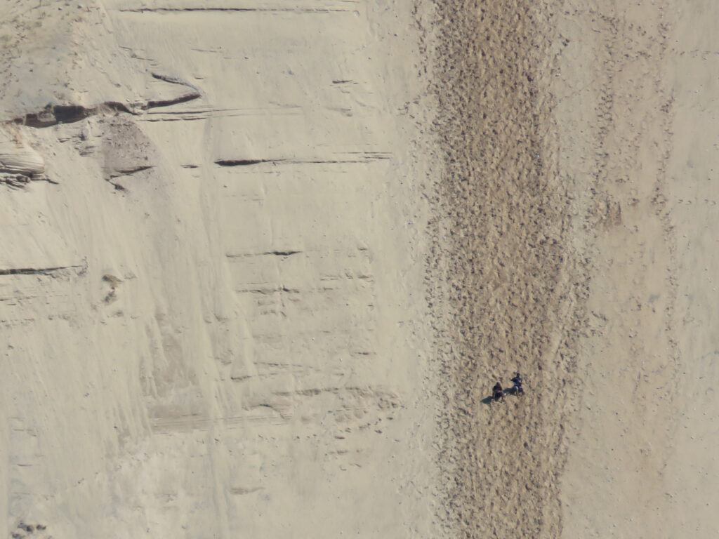
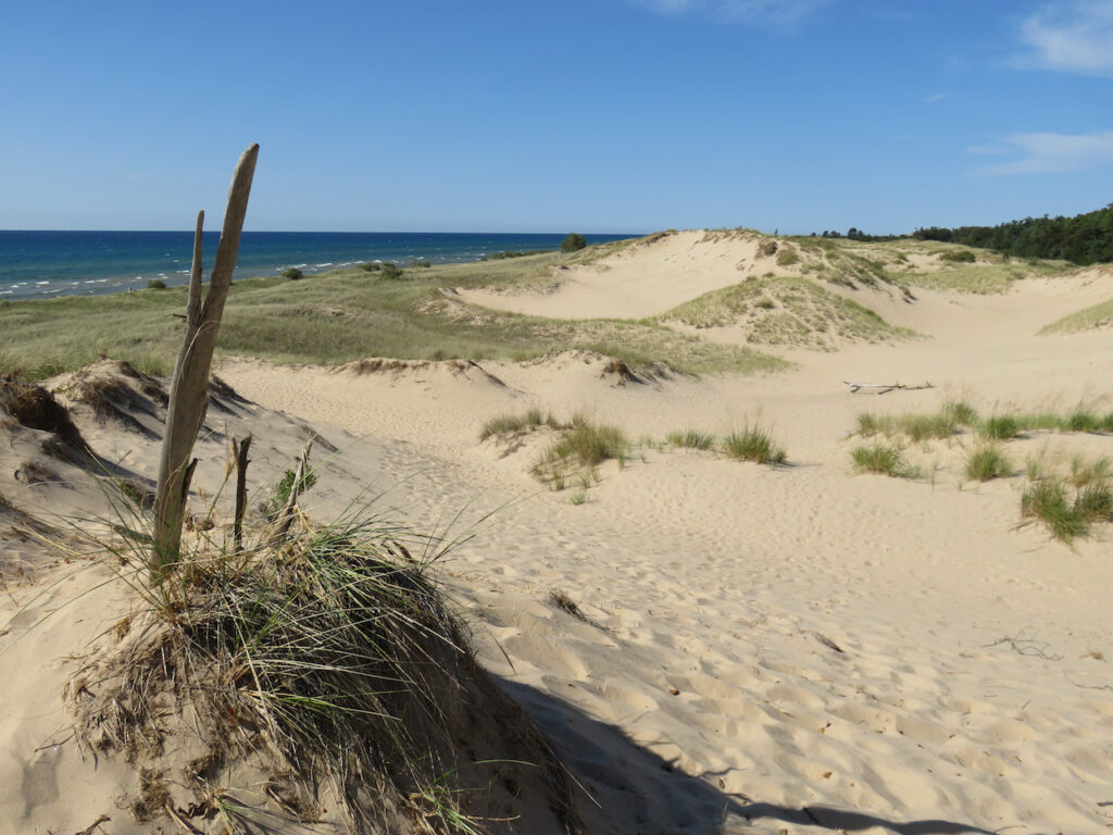
The trip from Suttons Bay to Frankfort was going to take eleven hours so we left the anchorage in the dark. This is the reward you get for getting up at 5:00AM… Sleeping Bear Dunes National Lakeshore
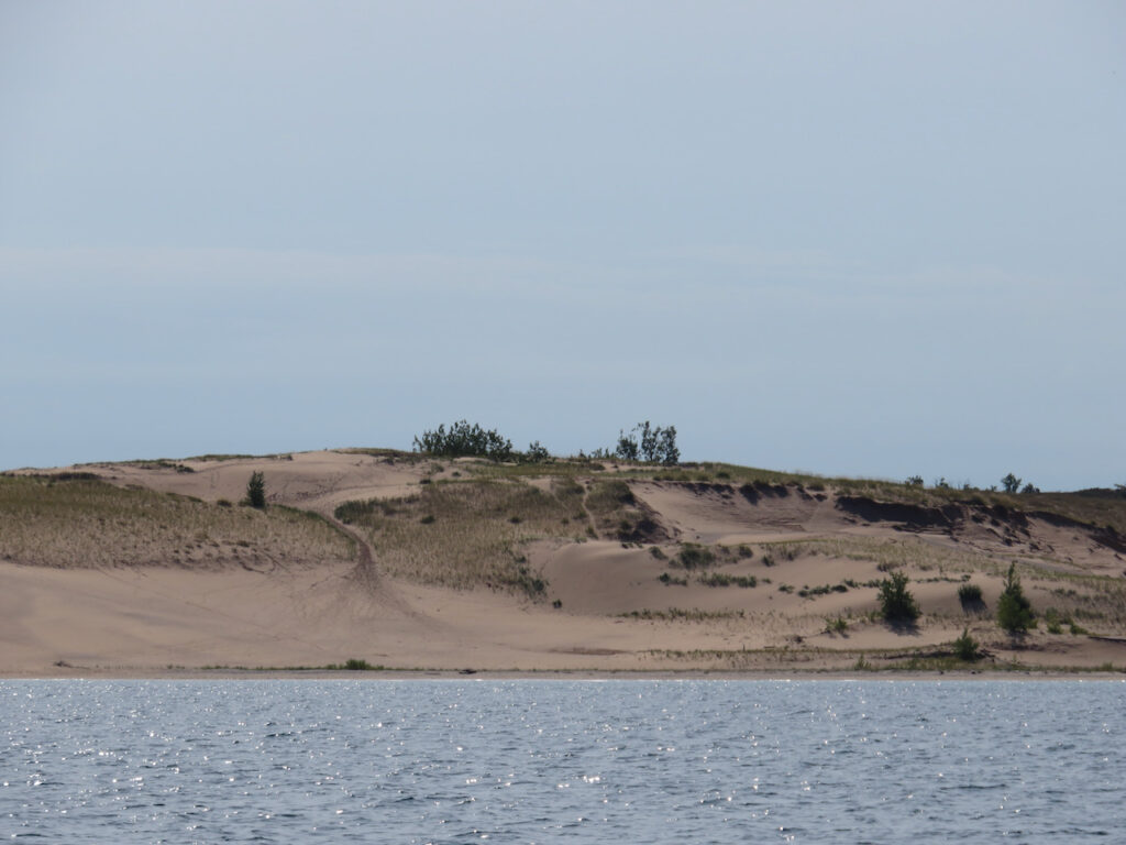
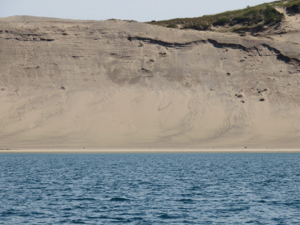
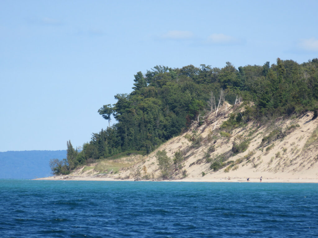
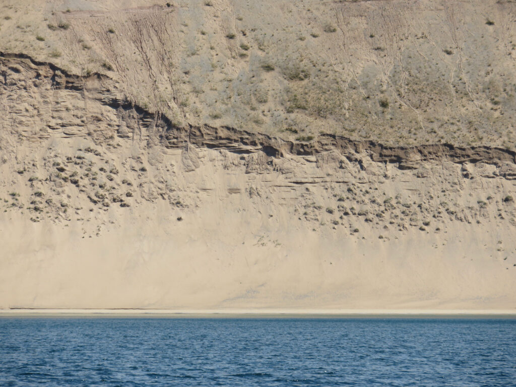
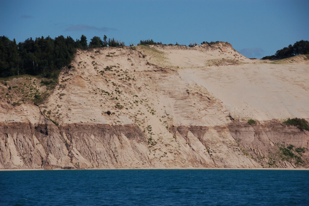
Perhaps a better photographer could adequately capture the beauty of this part of the lakeshore… these pictures can’t begin to convey the immensity of the dunes and the raw beauty we experienced on our trek past them. Look for the people in some of the pictures …


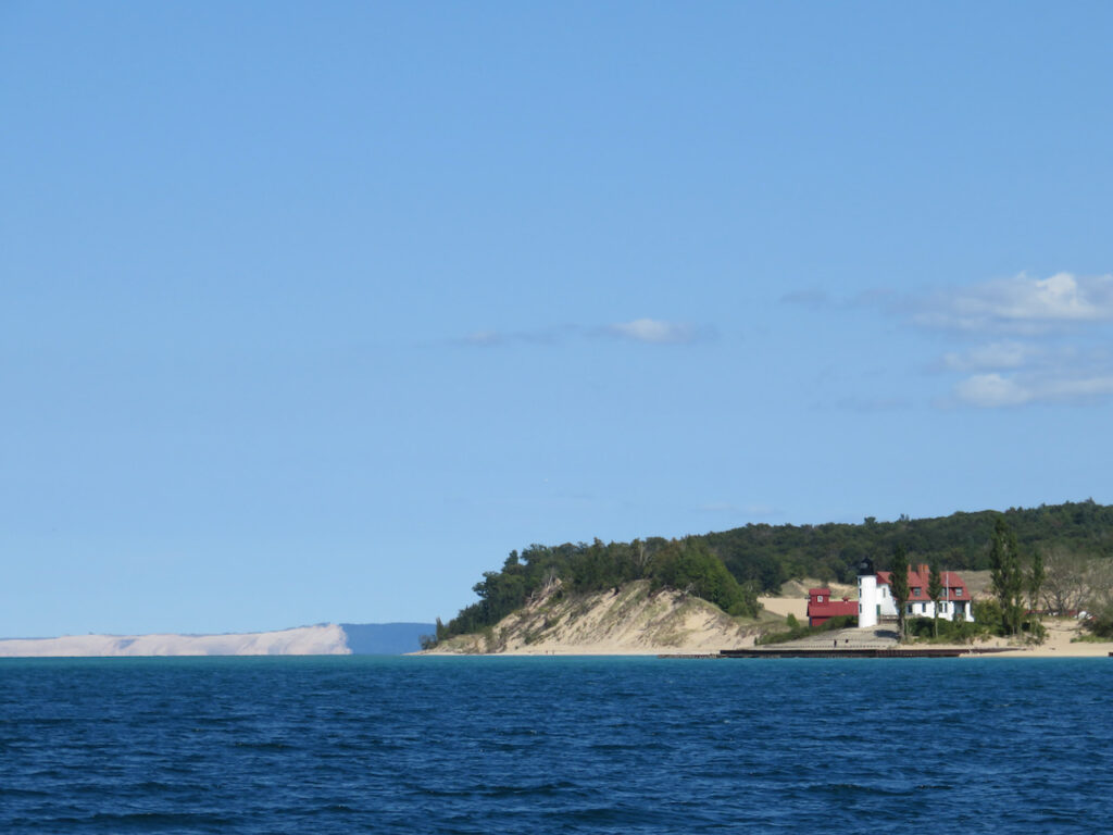
Frankfort
Looks lovely, right? Remember this view… 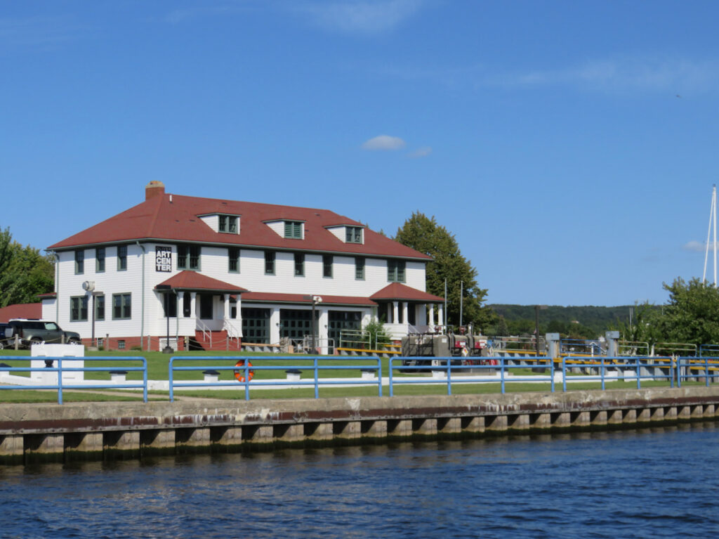
Frankfort is a clone of all of the small, well-appointed shore towns we have visited. Tidy and prosperous with great access to outdoor life; biking, fishing, beaches and hiking trails are easy to access and abundant. 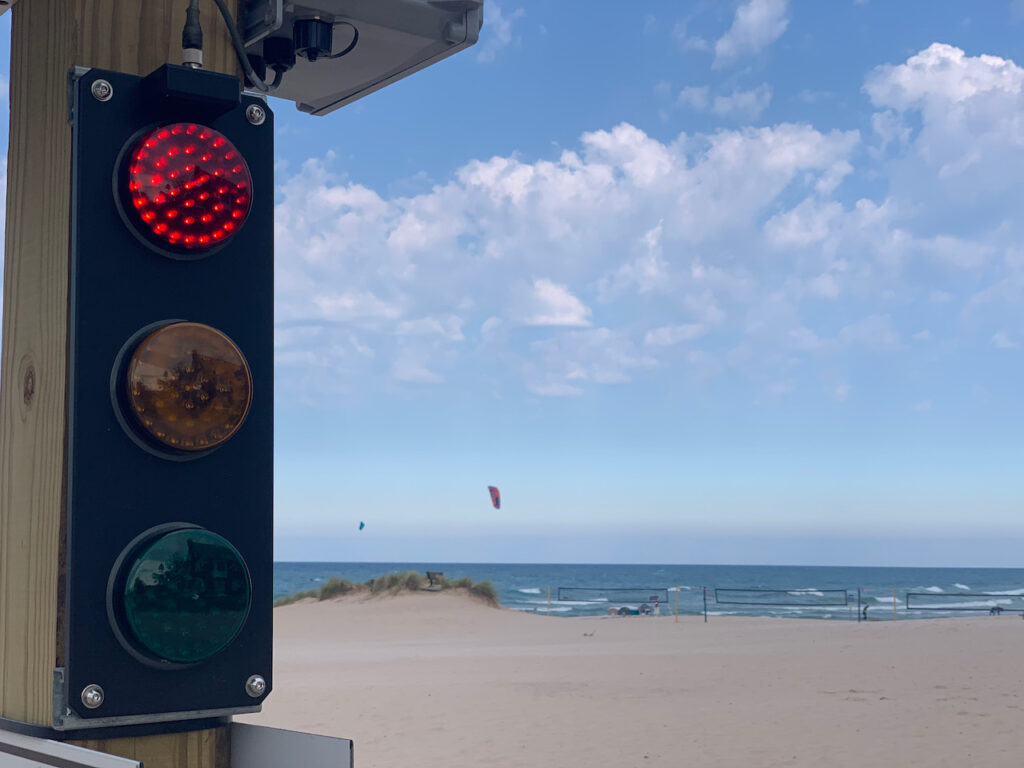
No beach warning flag system here; Frankfort has a traffic light! The red light is why we were hunkering down in Frankfort. 
Not so peaceful now… 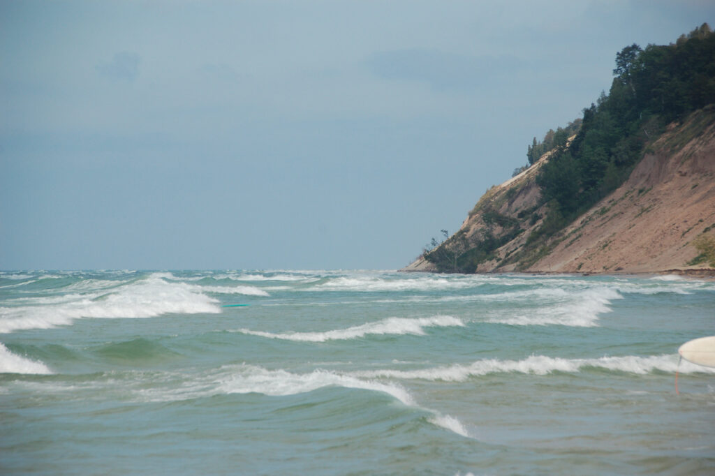
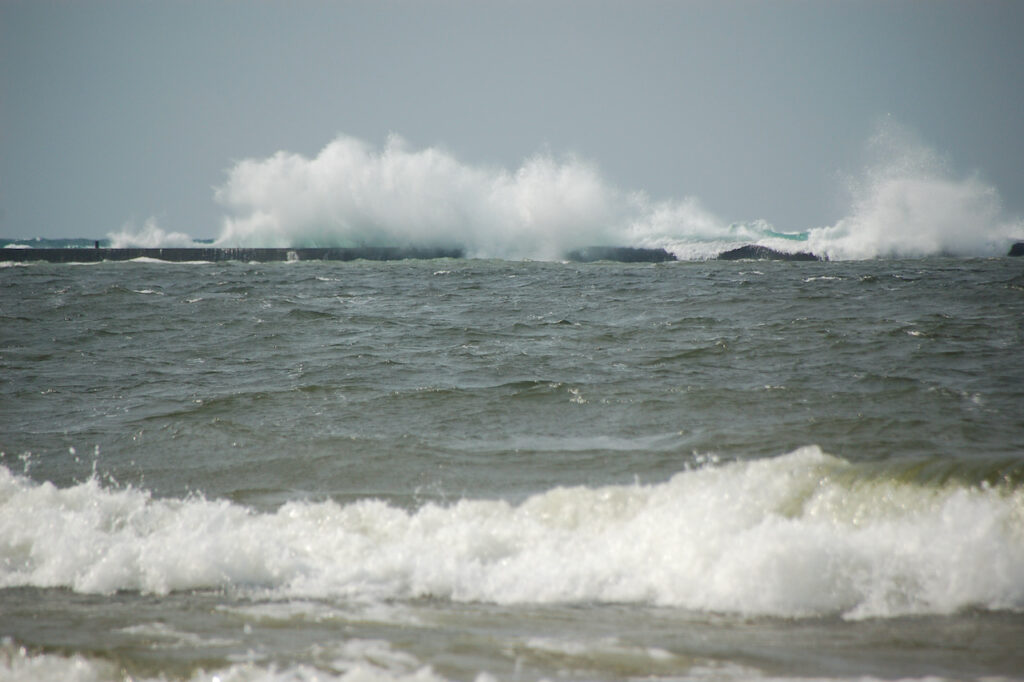
The water in the foreground is inside the break wall! 😳 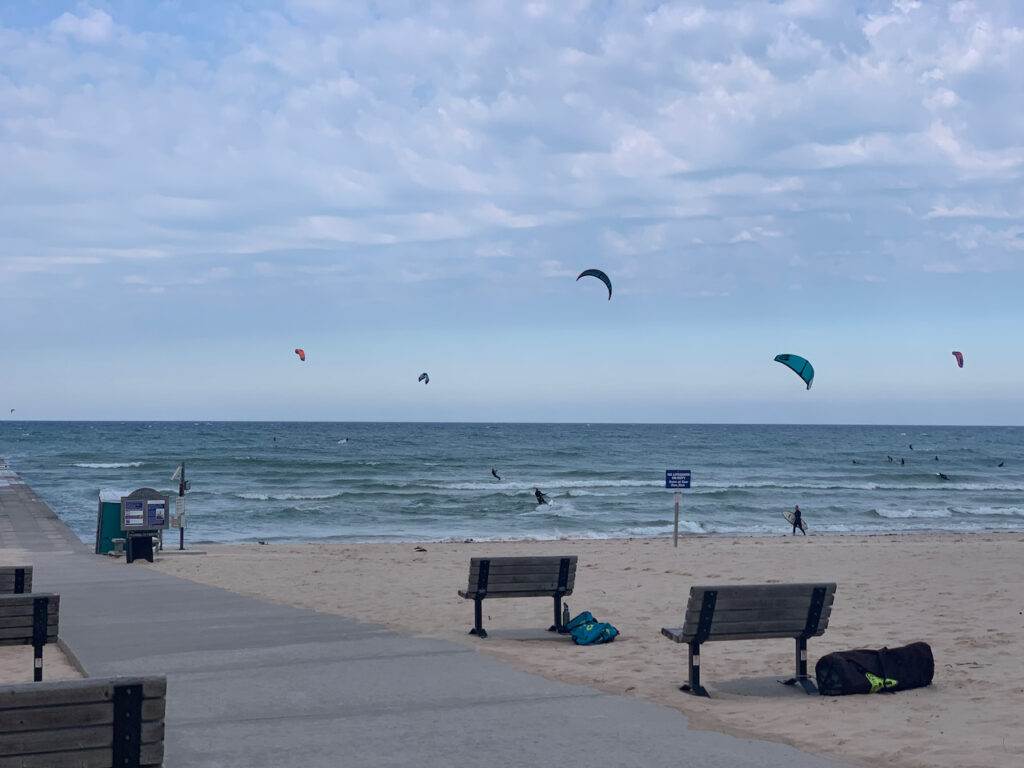
We may not have wanted to be on the lake in the 4 footers but the locals were out in force playing on their boards and with their kites. 
Not just the locals were playing, either. 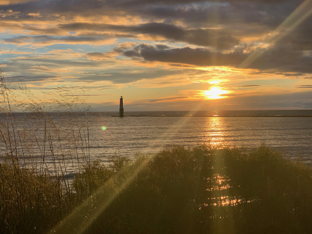
Back to benign… - Ludington State Park
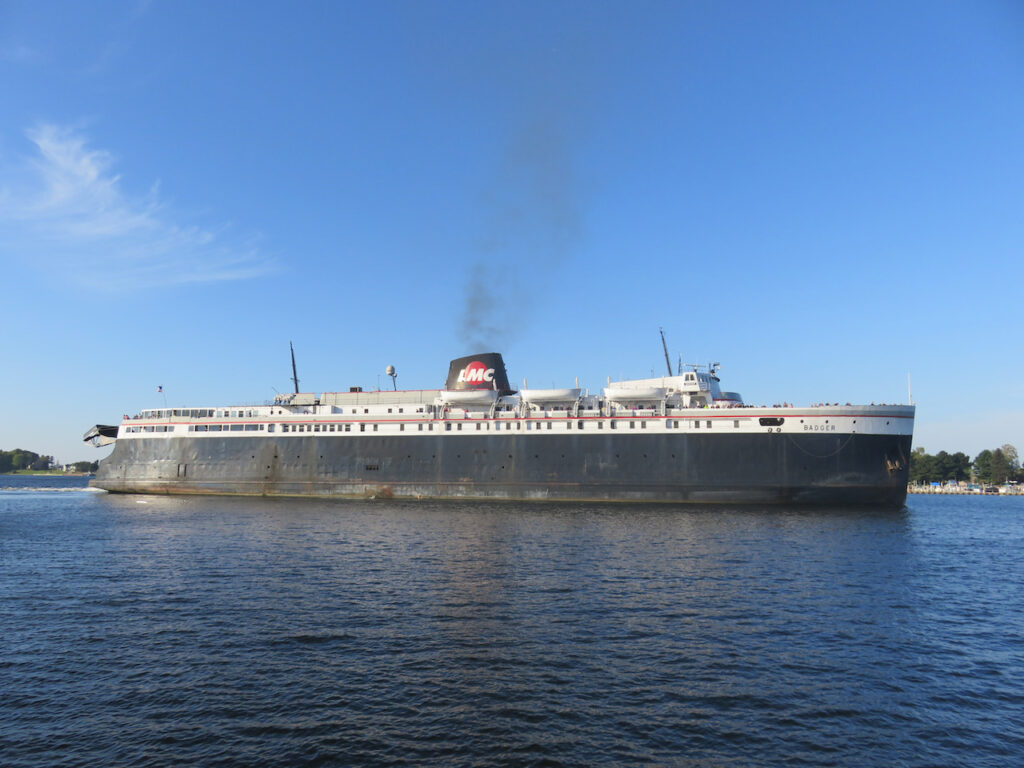
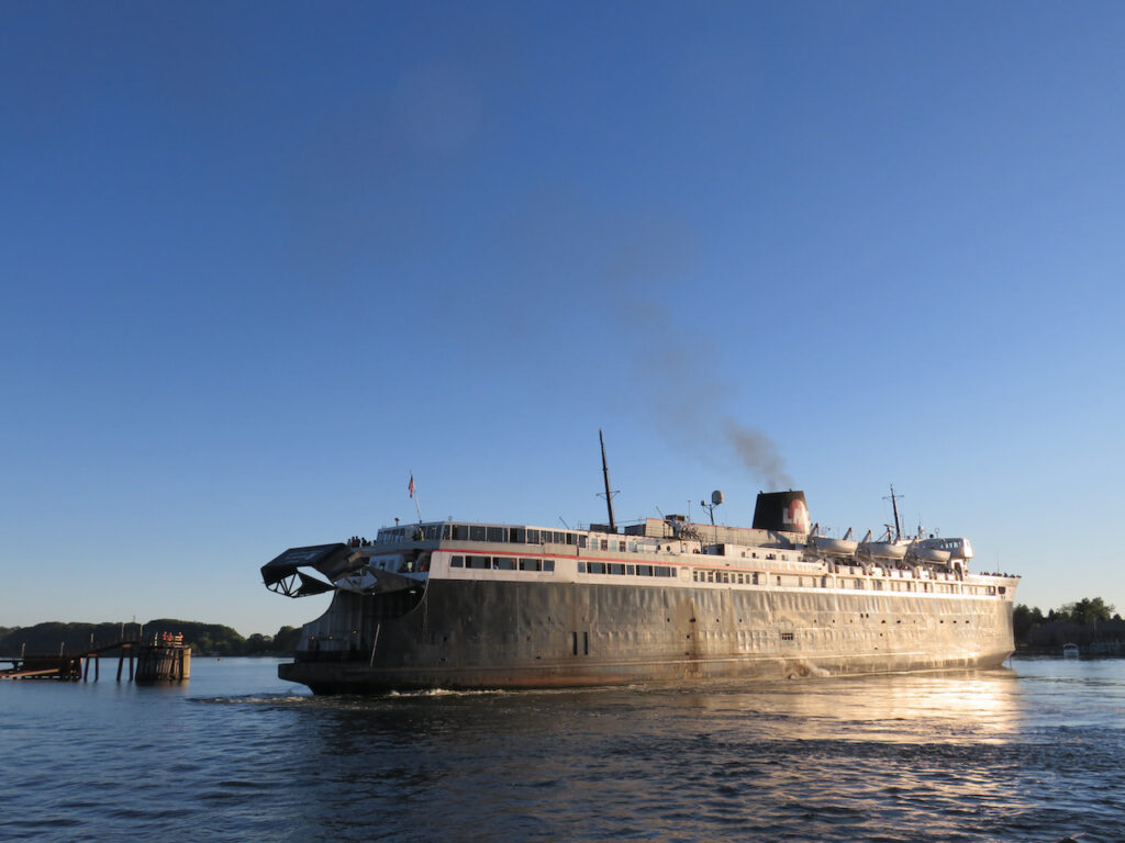
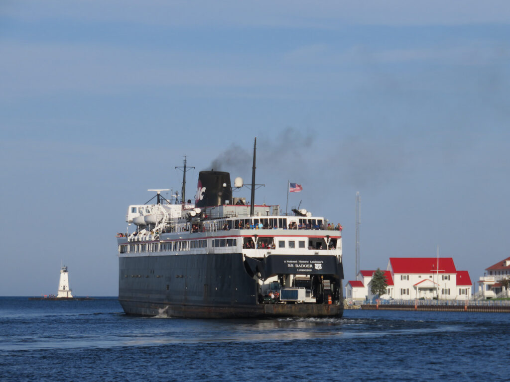
This is an unabashed advertisement for Ludington State Park. All you land yacht owners, motorcyclists, world travelers and campers should put this on your list of “must sees”. And if you are bored with swimming at the beach, hiking the dunes, campfires, kayaking on the lake and eating really good ice cream, drive to Ludington and watch the SS Badger come in or go out…
Ludington State Park

The Big Sable Lighthouse at northwest point of the park. 
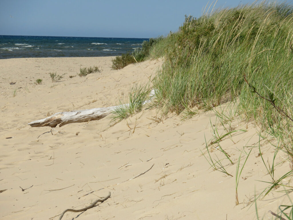
A soft, clean sand beach runs along the Lake Michigan shore. 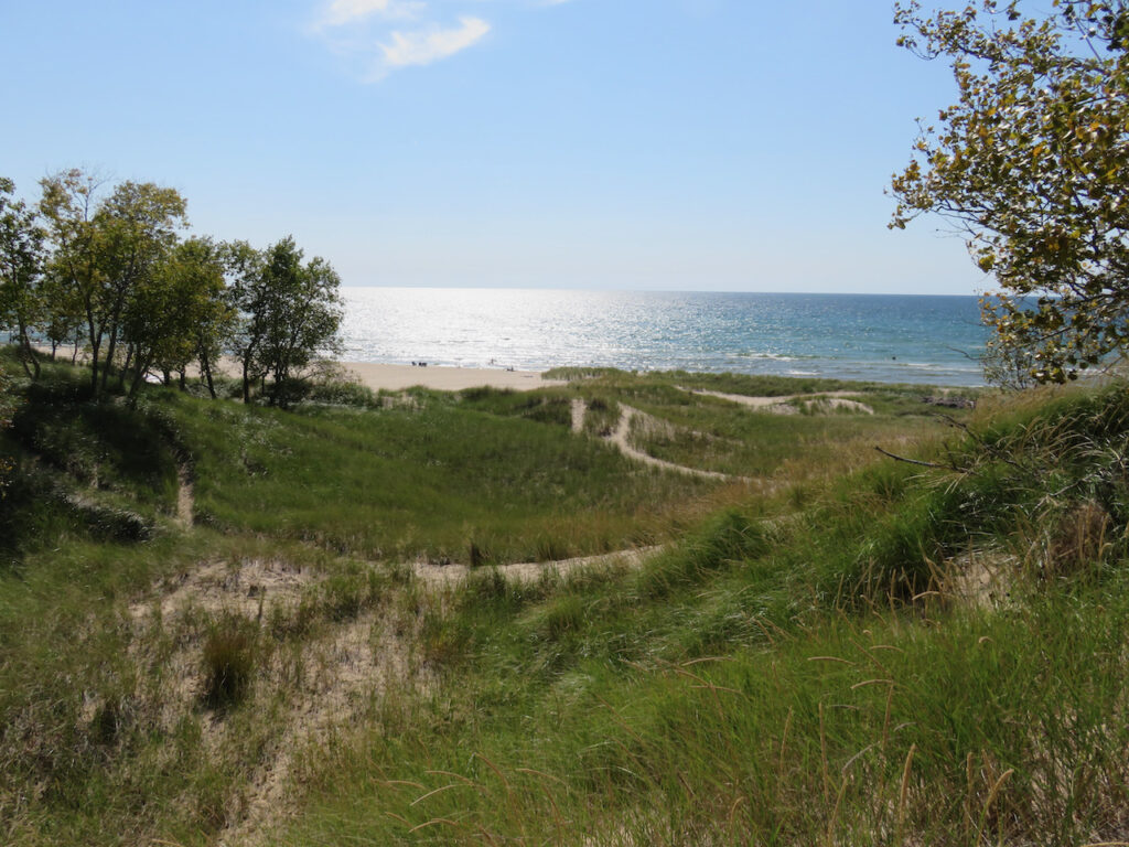
Behind the first rise of dunes, miles of trails through the rise and fall of even more dunes. 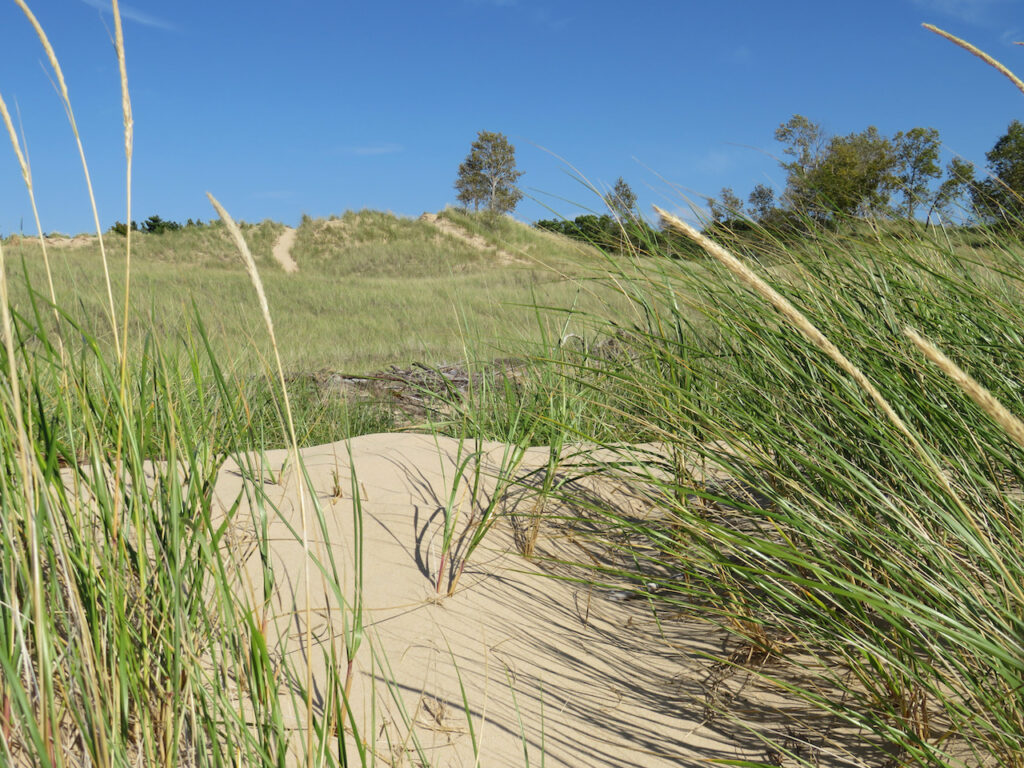
On the other edge of the dunes, the sand gives way to grassland and trees. 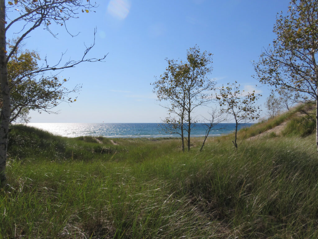
And then, on the other side of the campgrounds, hidden among the trees, is Lake Hamlin. 
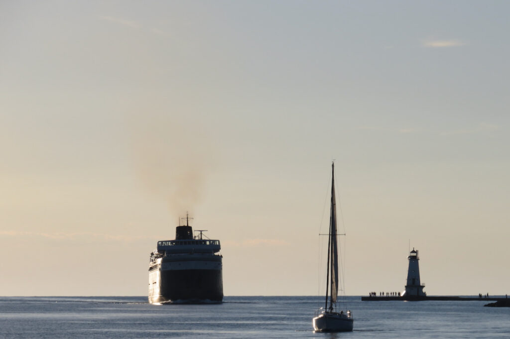
SS Badger
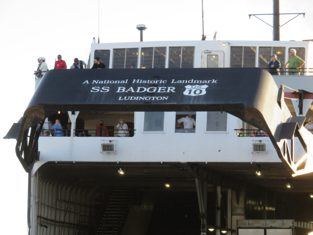
The SS Badger is the last coal-fired steam car ferry still in operation in the US. It carries 600 passengers and 180 cars 62 miles between US route 10 in Ludington, MI and Manitowac, WI. 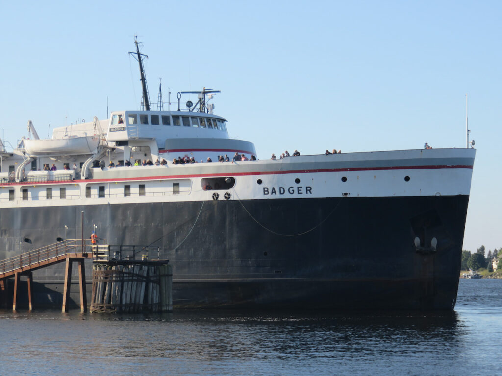

The Badger departs Ludington at 9:00A and arrives at 7:00P everyday from May through October.
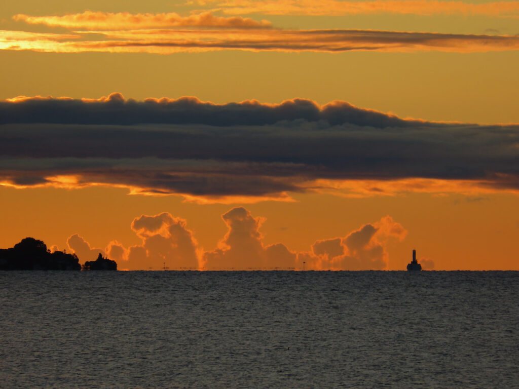
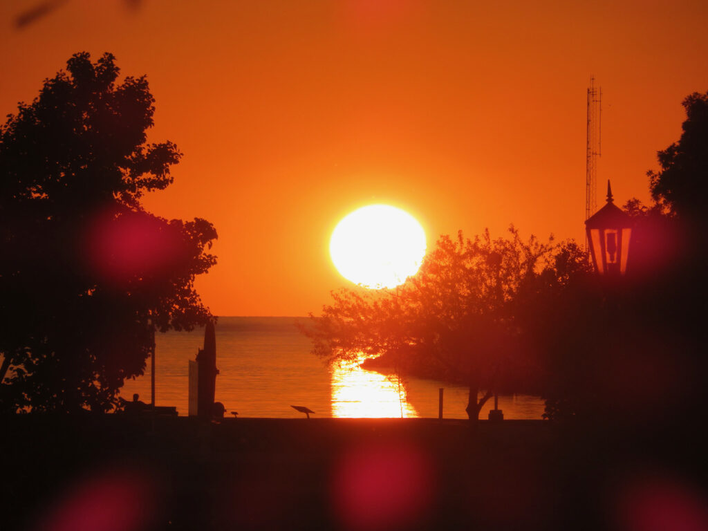
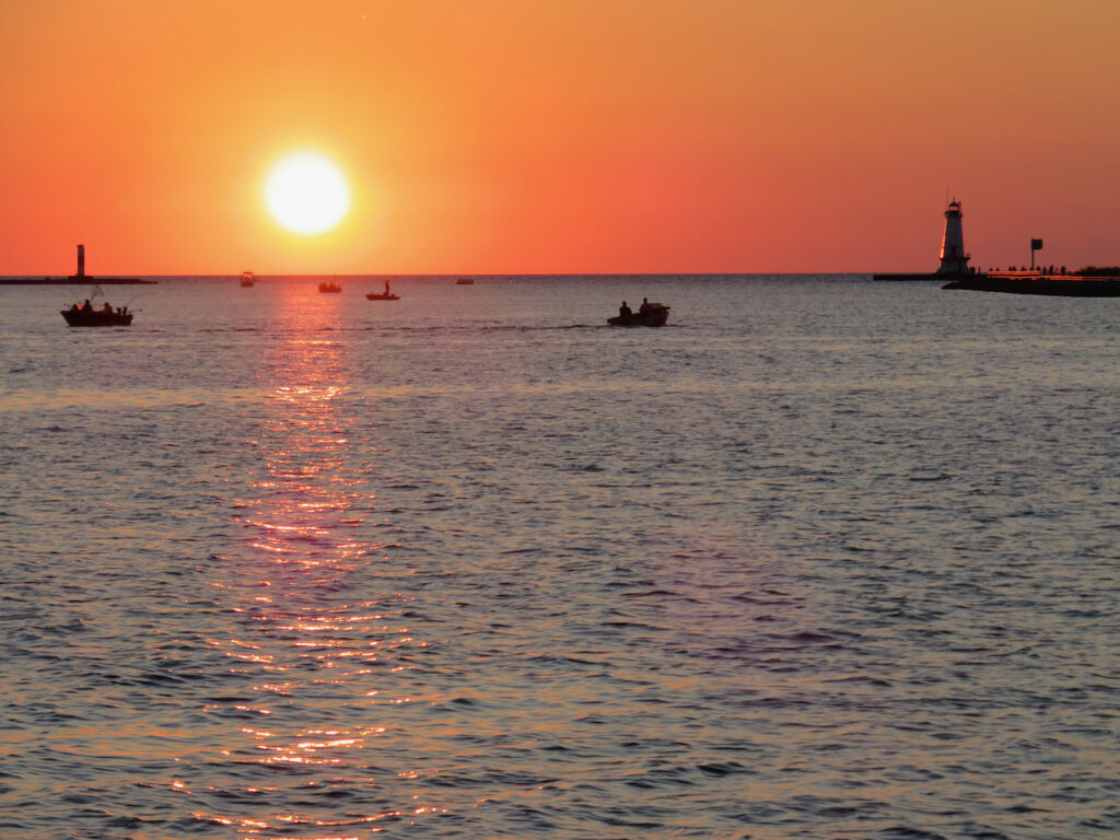
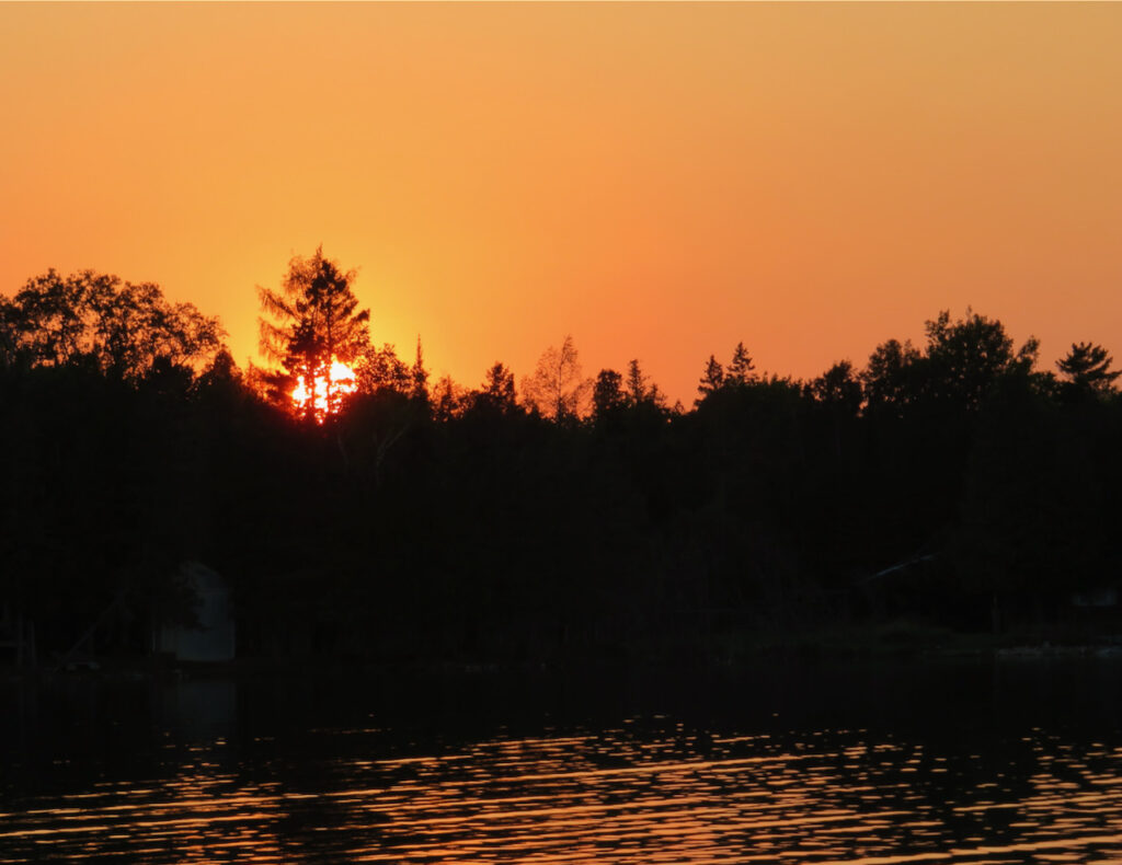
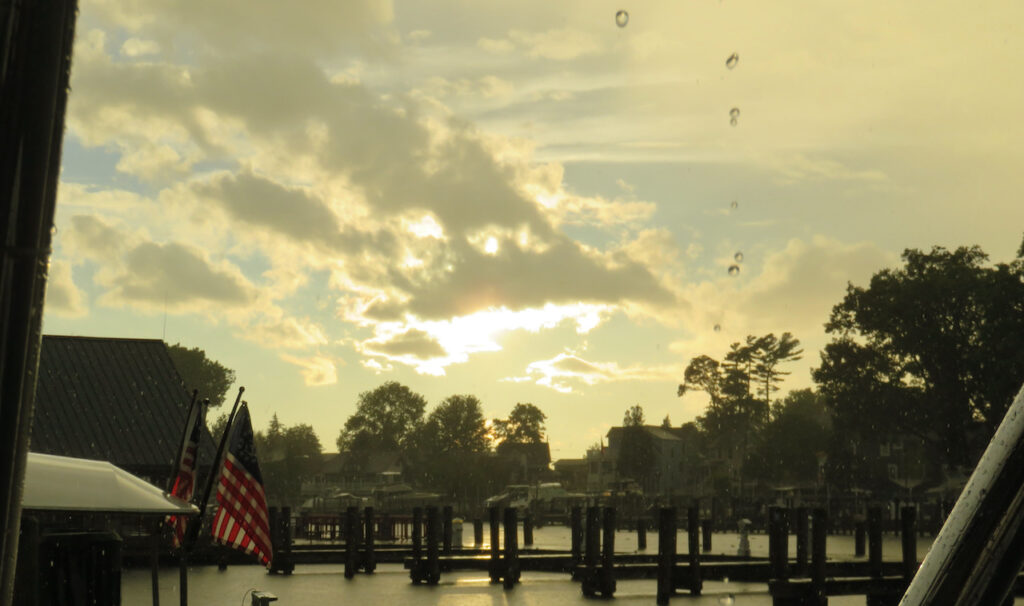
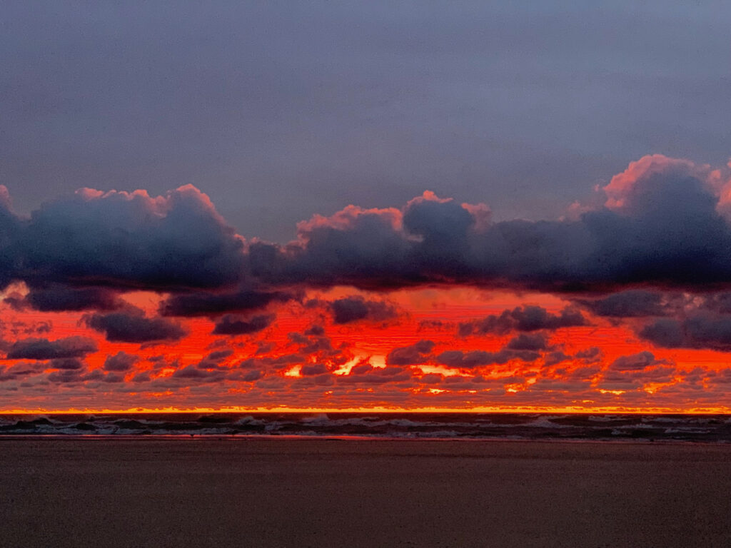
And if the state park or the Badger are not enough, there are always the sunsets on this coast of Michigan…
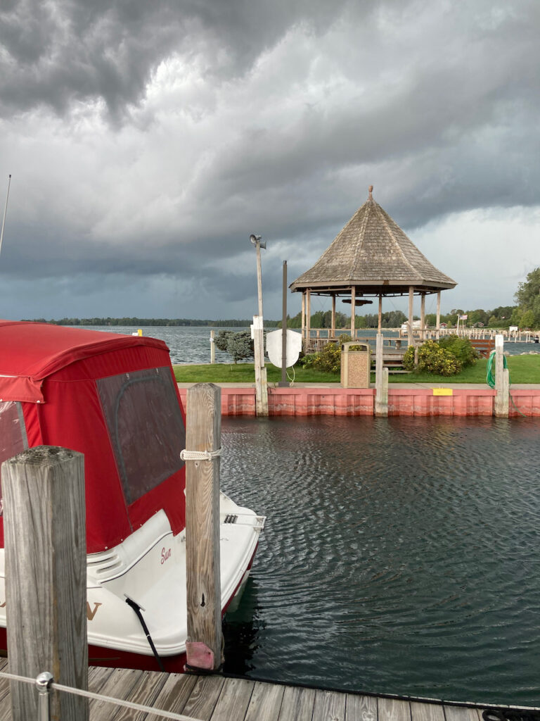
- Weather
This week we experienced Lake Michigan living up to its reputation for tantrums after Labor Day. This, so far, five day hiatus is NOT because we are off the boat enjoying family celebrations and re-unions; this is a full fledged weather delay. There is a very good chance that we will not leave South Haven until Monday the 27th… all up to when Lake Michigan wants to calm down.
Monday, Sep 20th: We left Saugatuck a day earlier than planned because we saw bad weather coming. South Haven is a short 20 mile hop down the coast and we snuck in there before the rain started. We were still optimistic that the delay would be a short one and the clearing skies reinforced our hopes.

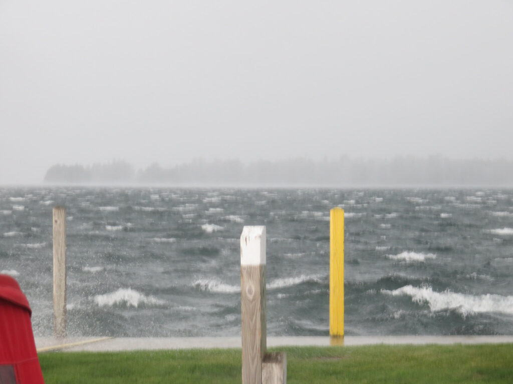
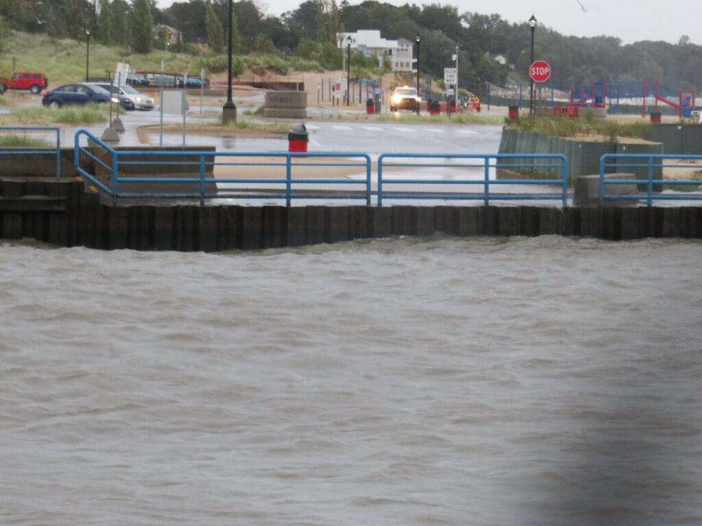
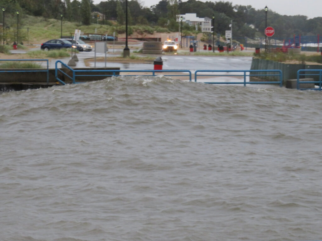
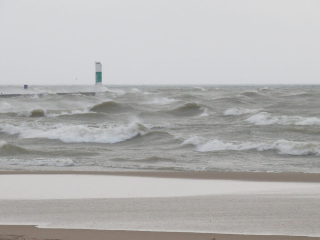
Tuesday, Sep 21st: After a miserable night sloshing up against the pilings in our slip and looking at an updated forecast, we sought shelter in the marina’s seasonal basin as it was a little more protected. The waves coming into the river, at this point, were only 2 ft but were forecasted to go to 5. By Tuesday evening, Lake Michigan was starting to boil.
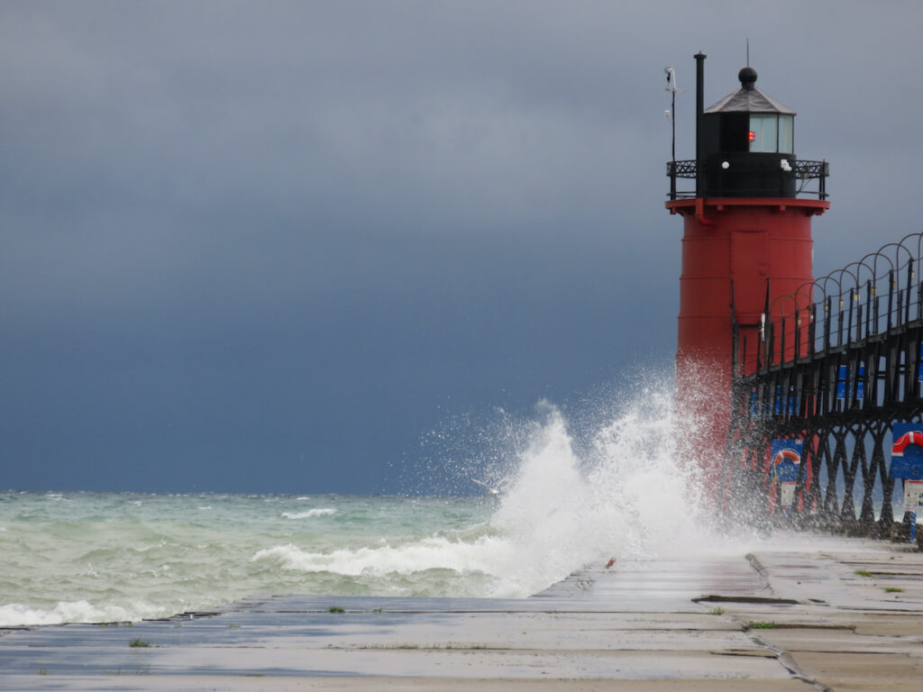
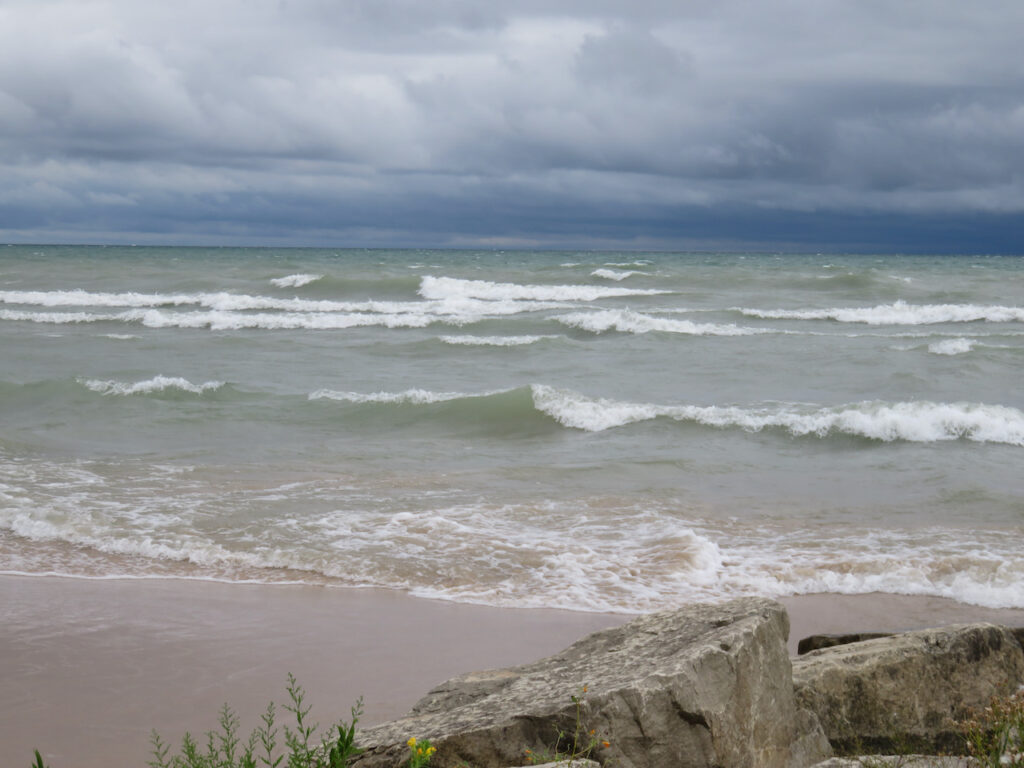
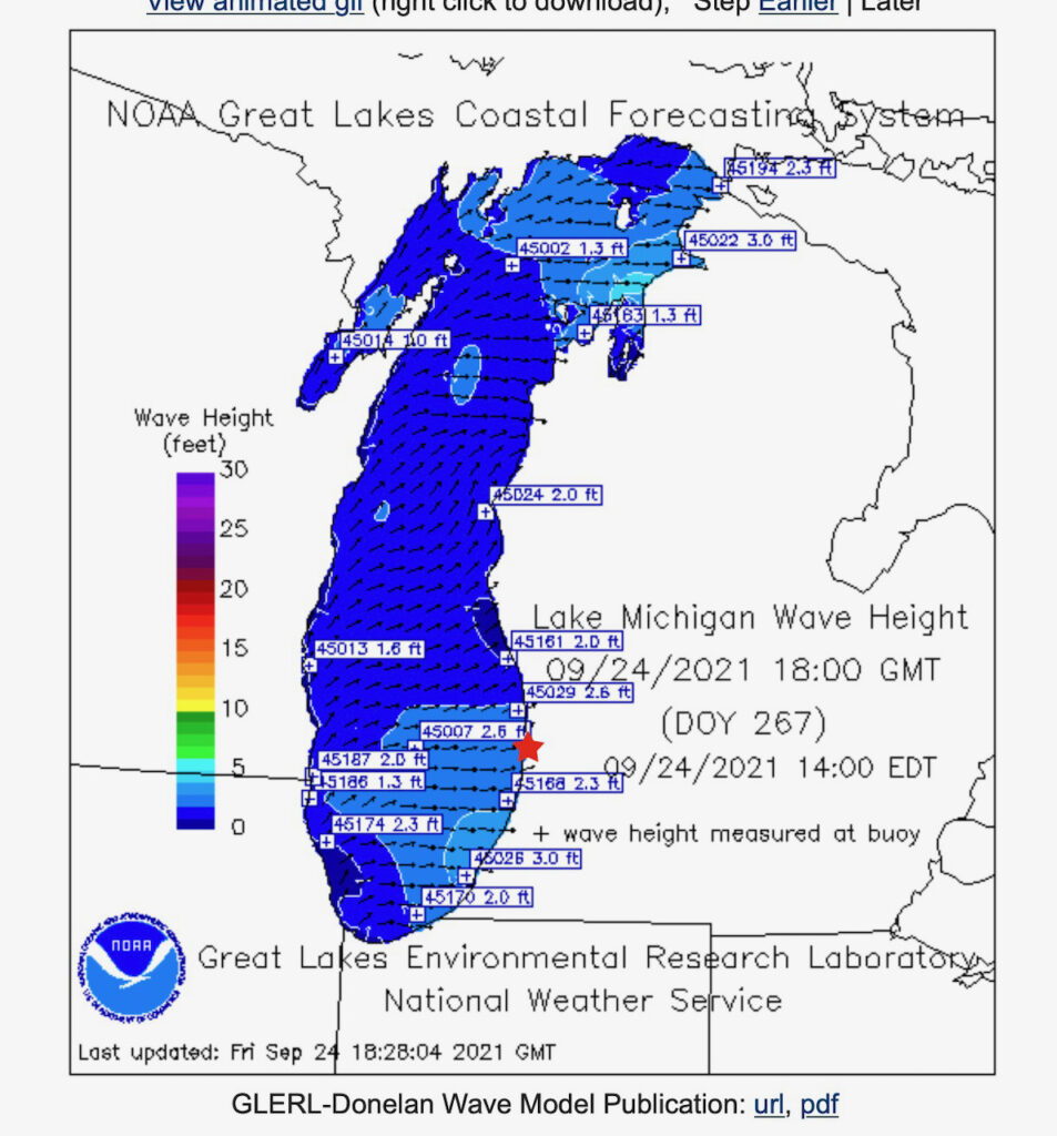
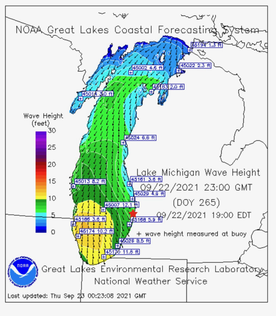
Wednesday, Sep 22nd: By Wednesday, the early morning forecast was for up to 20 ft (6 m) waves on the lower part of the lake. The image below is a tool we use on the Great Lakes which provides wave height and wind direction status & forecasts. The little red star is about where South Haven is and any place we would travel to is south… In this case, green is NOT good… By Wednesday evening, there were 5 ft waves on the South Haven beach and at the mouth of the river.
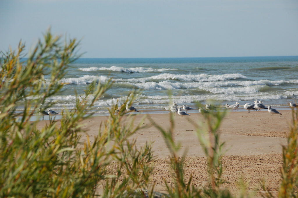
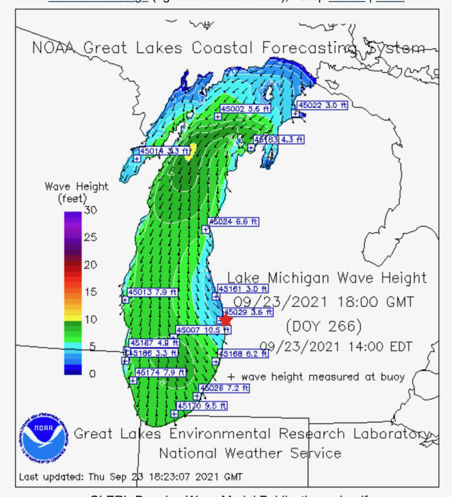
Thursday, Sep 23rd: Still no change in the wind direction on Thursday. The waves rolling into the river are still 4-5 ft and now, it is cold🥶. This has been a north wind for two full days.
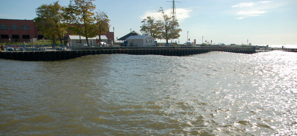
You can get a sense of the volume of water that was ricochetting from one wall of the channel to the other if you keep your eye on the red barrel.
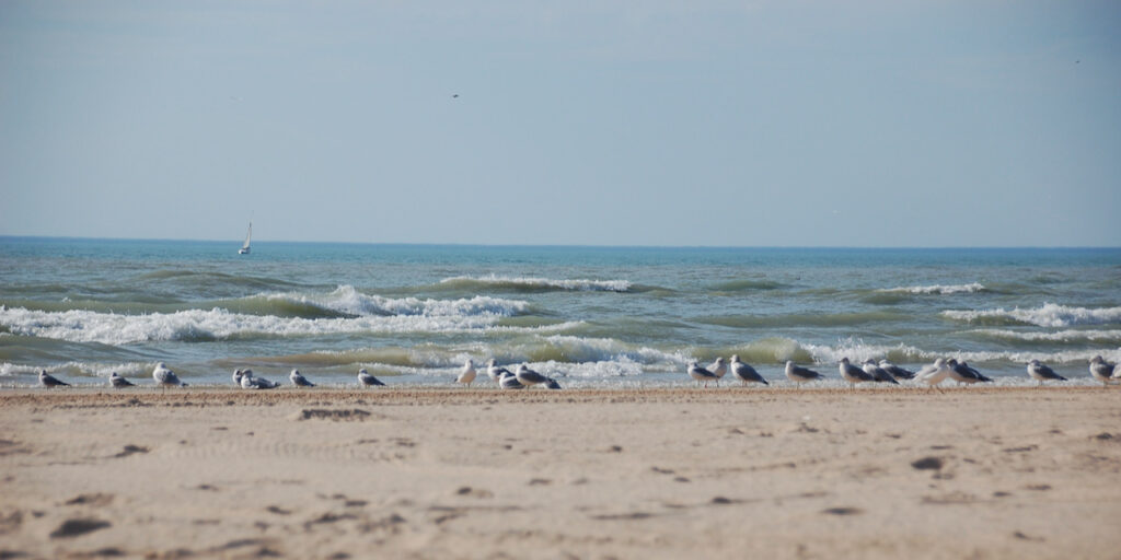
Friday, Sep 24th: Today the wind changed direction and lessened in speed. The forecast looks much better BUT those waves will be right on our nose if we head directly to Chicago (not a pleasant ride). Also, the wind forecasting tool has the wind picking up again tomorrow… Still, it is much warmer today and there are even sailboats out enjoying the wind (they are heading north).