- Blue Water Sailing
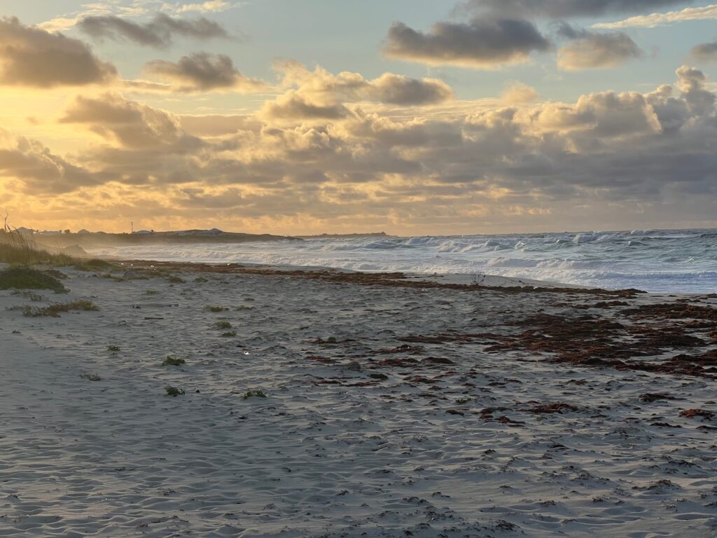
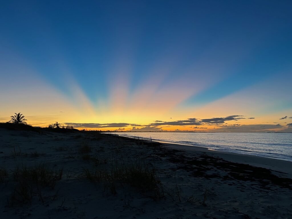
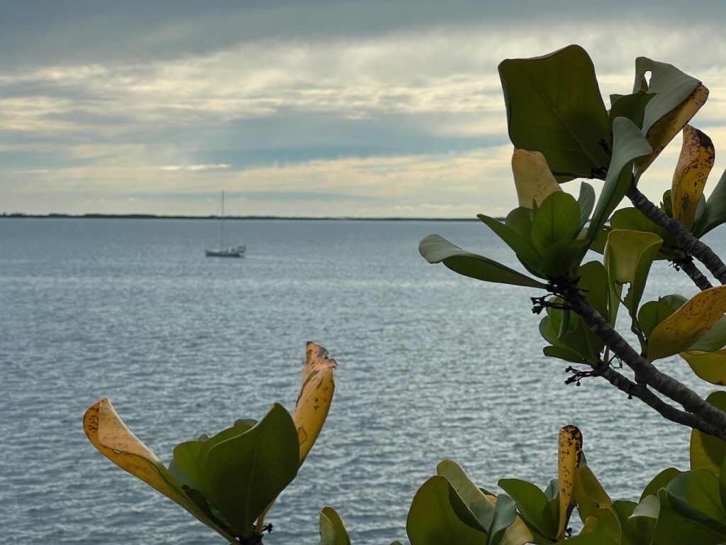
As alluded to in the last post, we made it to the Bahamas! We had a beautiful Gulf stream crossing – an easy day (we played cribbage because there was nothing to do), no waves, some wind to sail and on-time in Bimini to clear Customs the same day. That, however, was our full allotment of good luck for the next few days. The Gulf crossing is one hurdle, there are three more “open water” crossings to get onto the Great Bahama Bank and execute the itinerary we had planned. Unfortunately, the prevailing wind comes from exactly the direction we need to travel across that open water… no more cribbage in route.
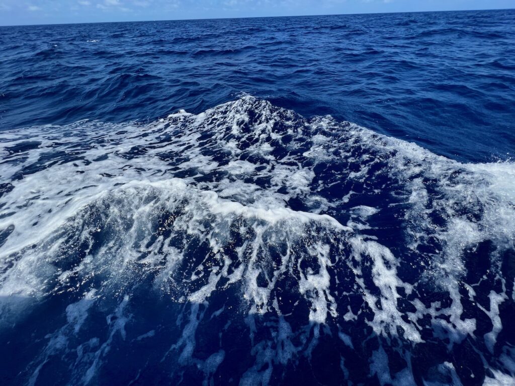
The Atlantic Gulf Stream 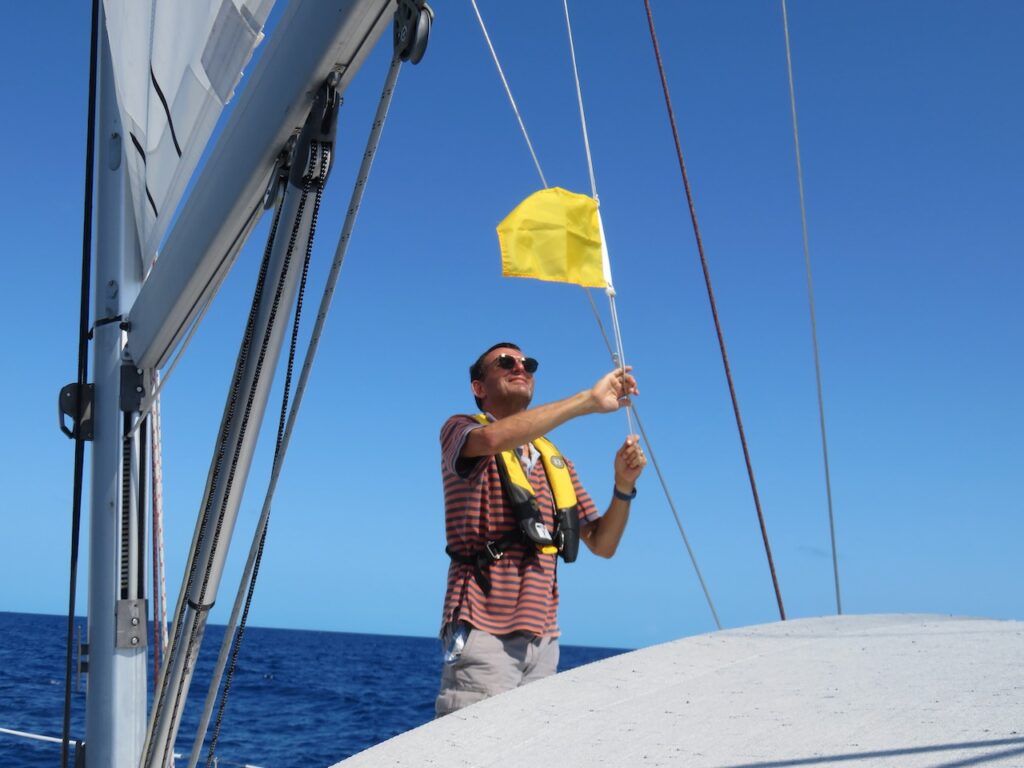
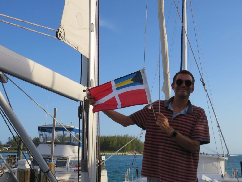
“Clearing in” in Bimini. First the yellow quarantine flag and, if all paperwork and fees are correct, you get to hoist the guest flag.
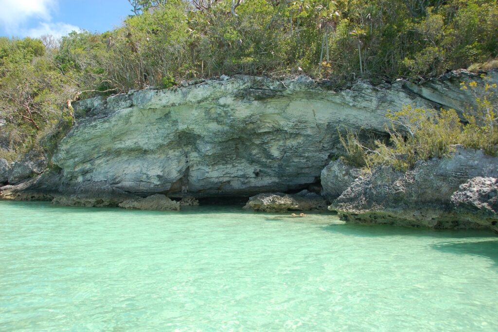
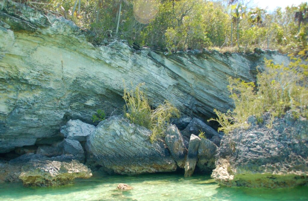
Bimini
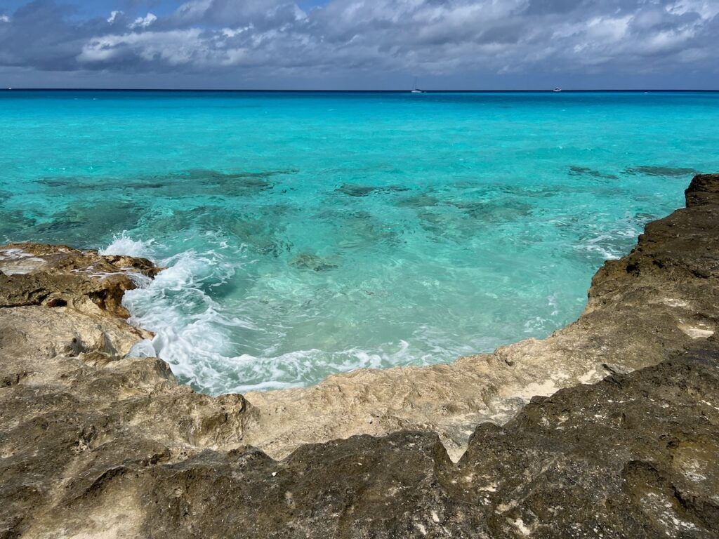
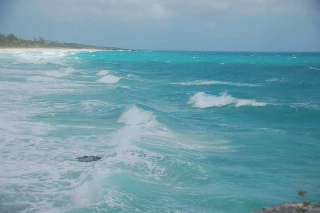
Bimini blues… enchanting. 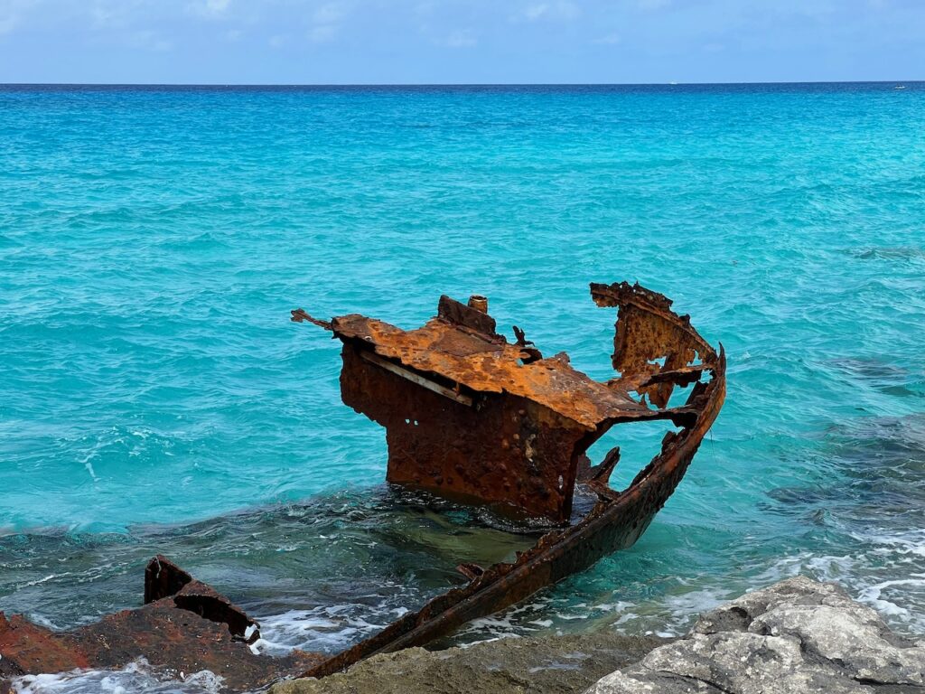
The remnants of the wreck of the Sapona, a rum running ship from Bimini’s heydays during Prohibition. 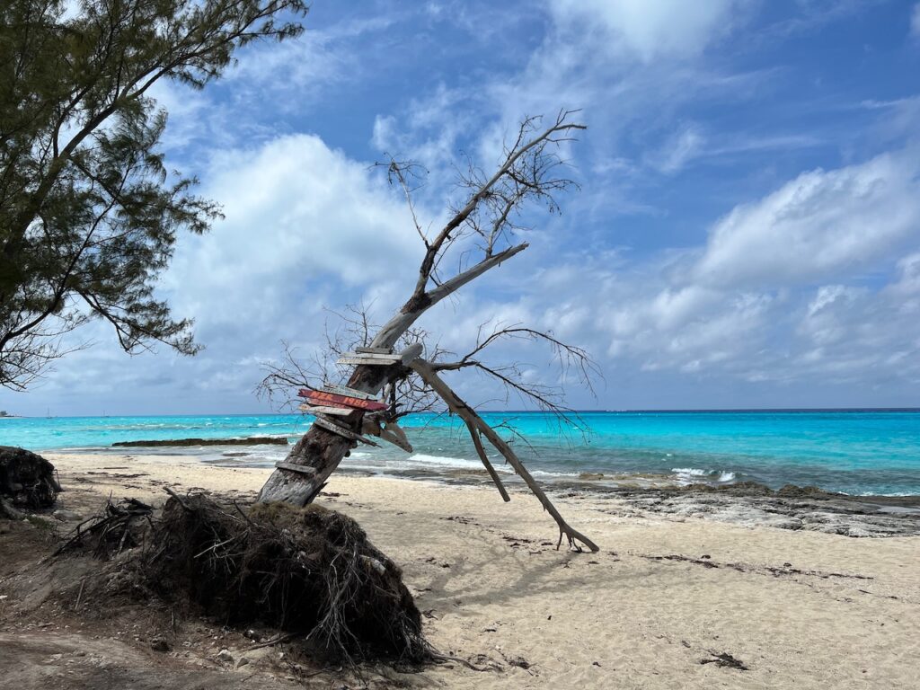
The remnants from Stuart’s kitchen; his speciality is conch salad (sort of like ceviche). 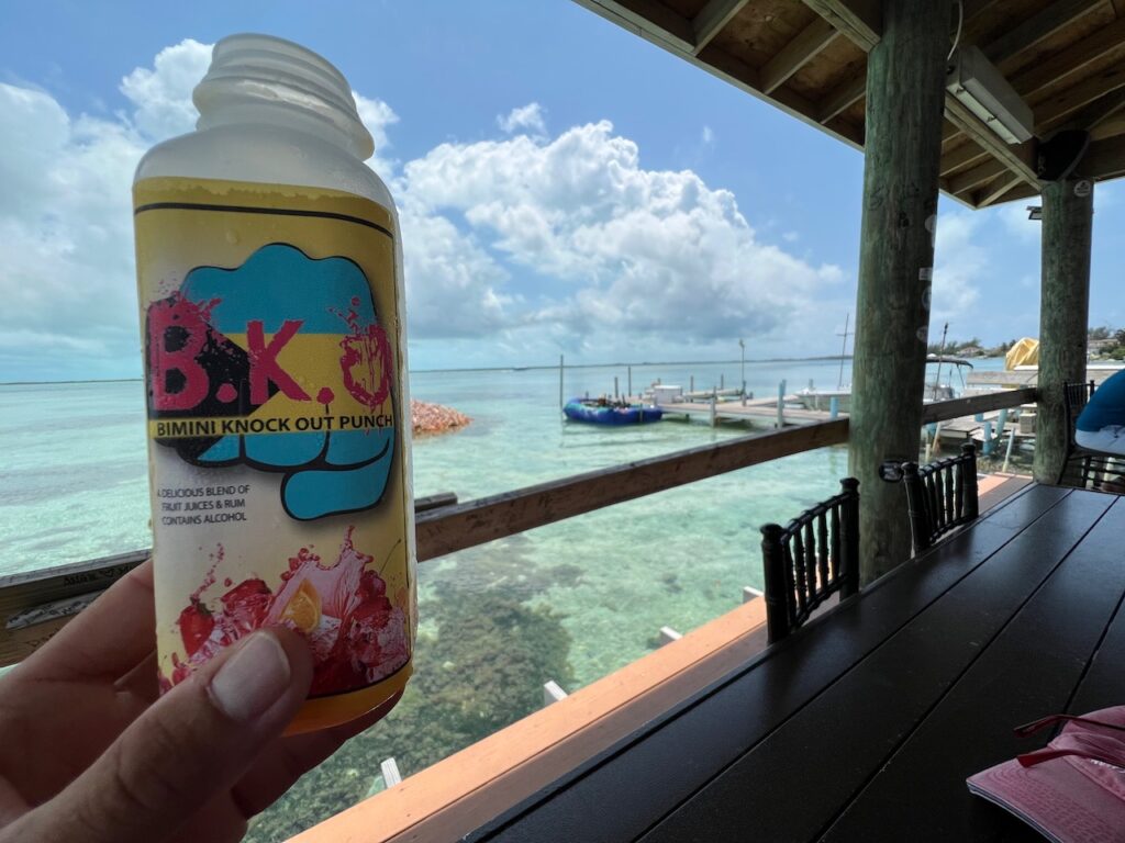
Stuart’s other speciality… One of these and you will think it is a great idea to walk 3 miles to the end of North Bimini, in the blazing mid-afternoon sun, with no sunscreen, hat or sun shirt, in flip flops and then have to walk back again.🙃 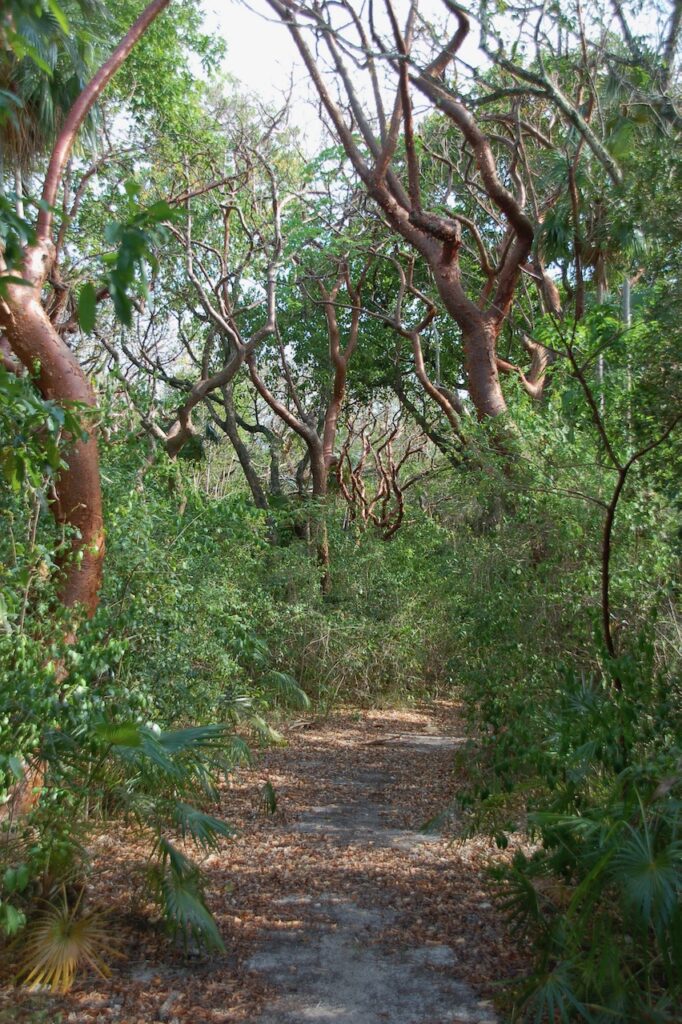
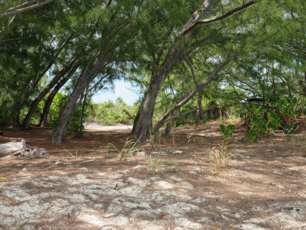
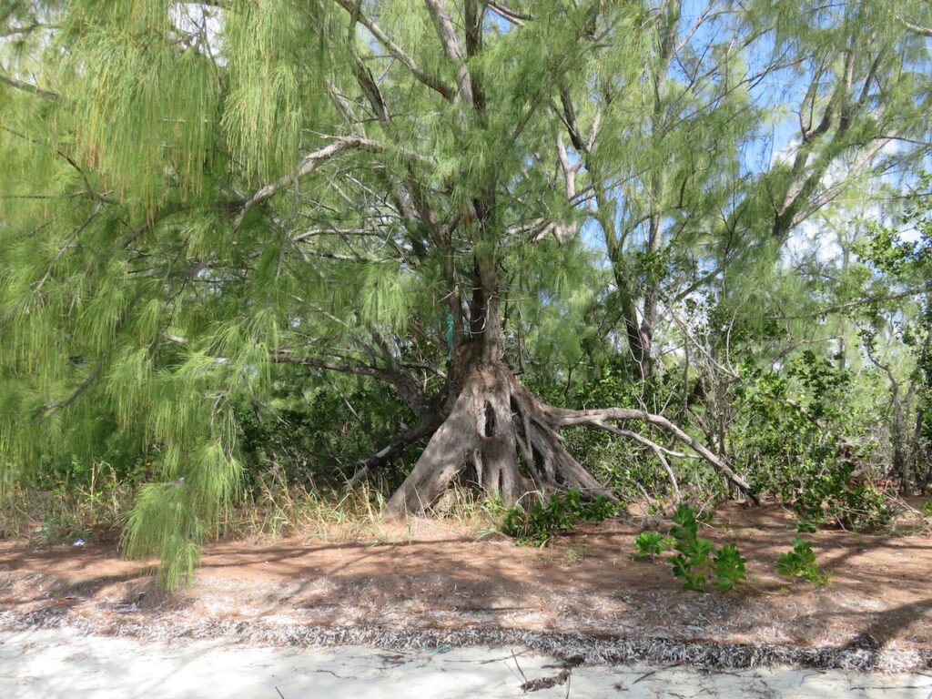
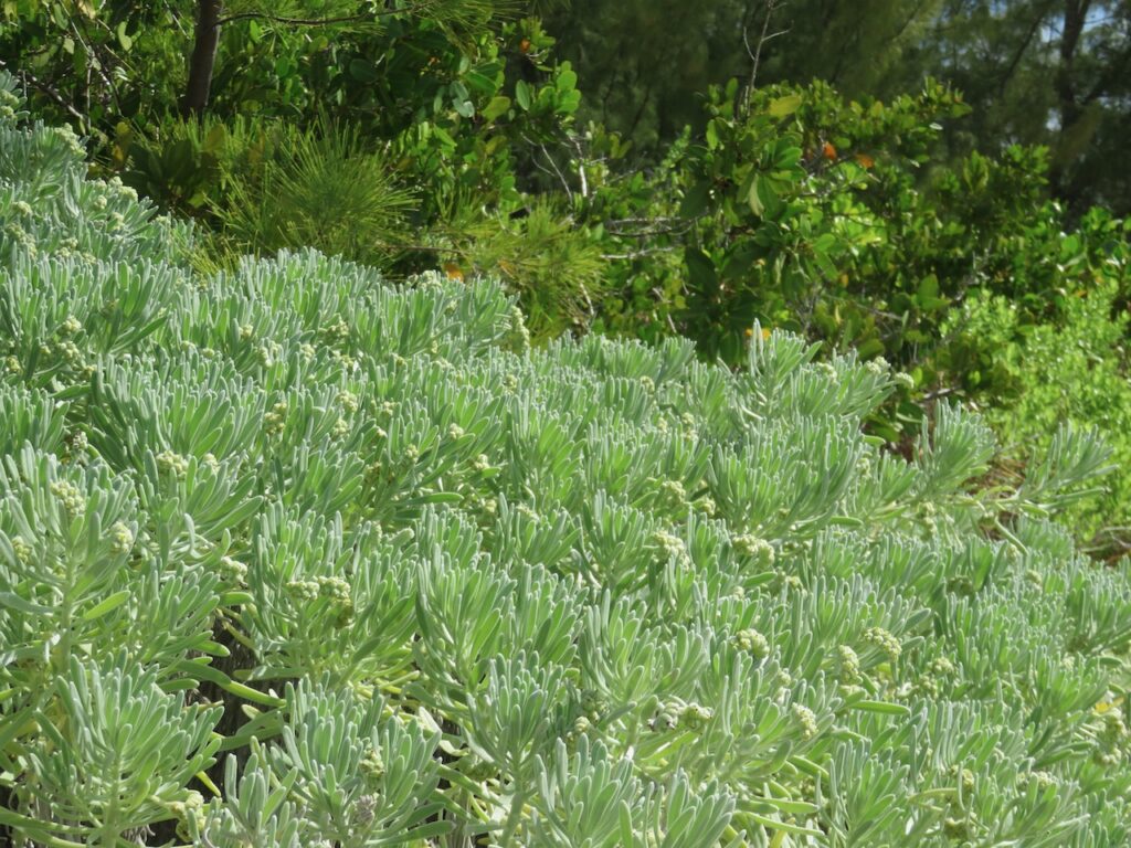
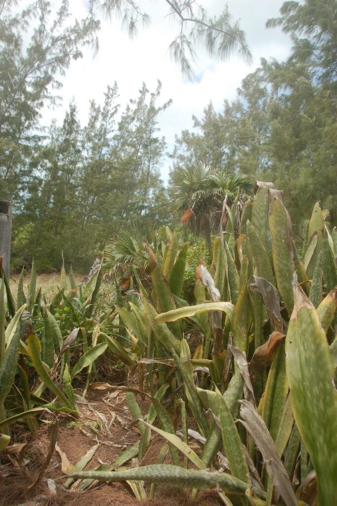
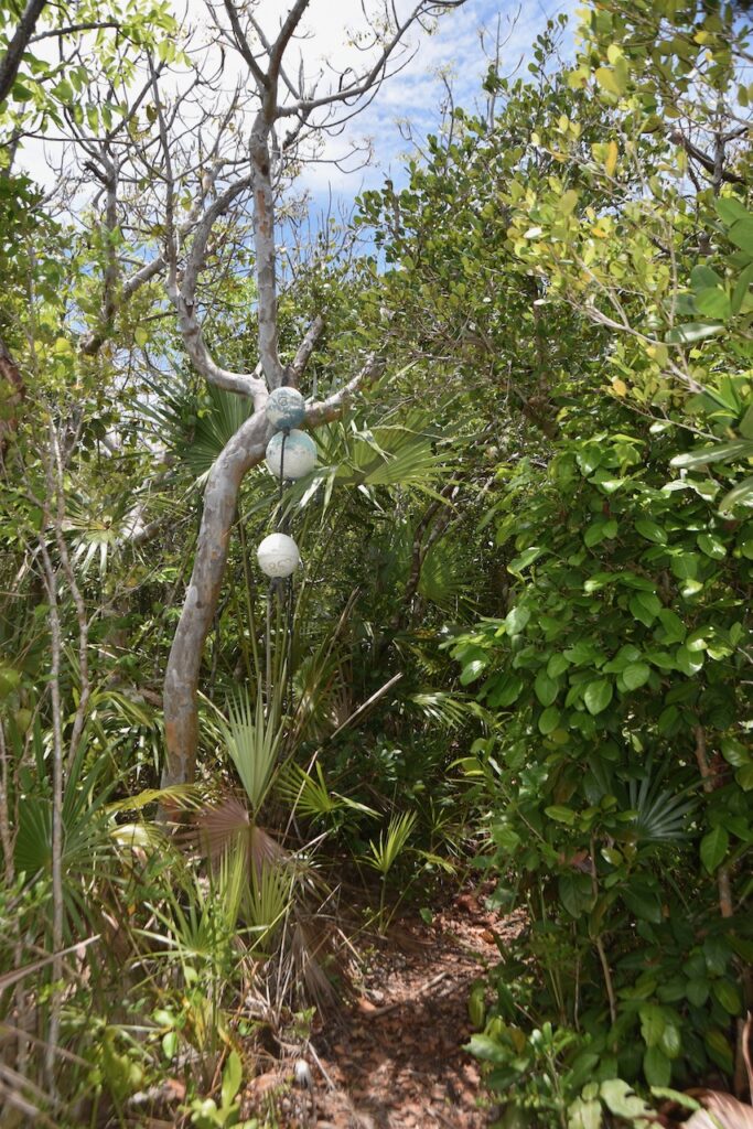
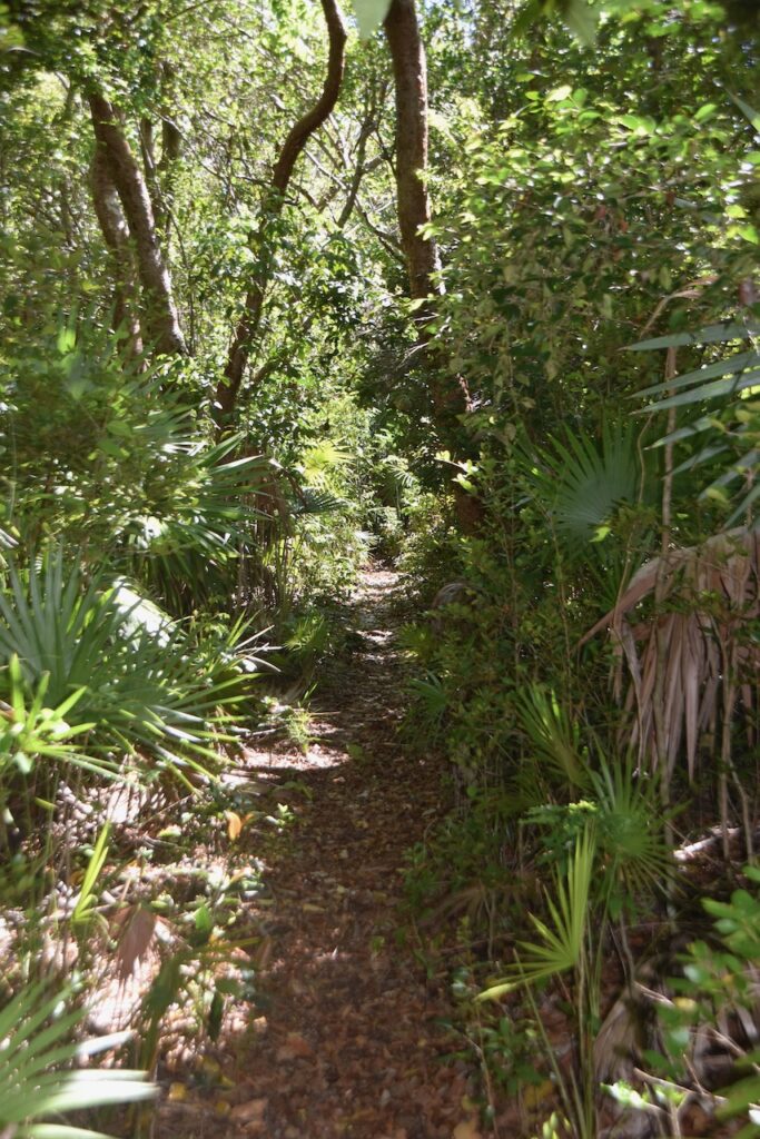
The Bimini Nature Walk 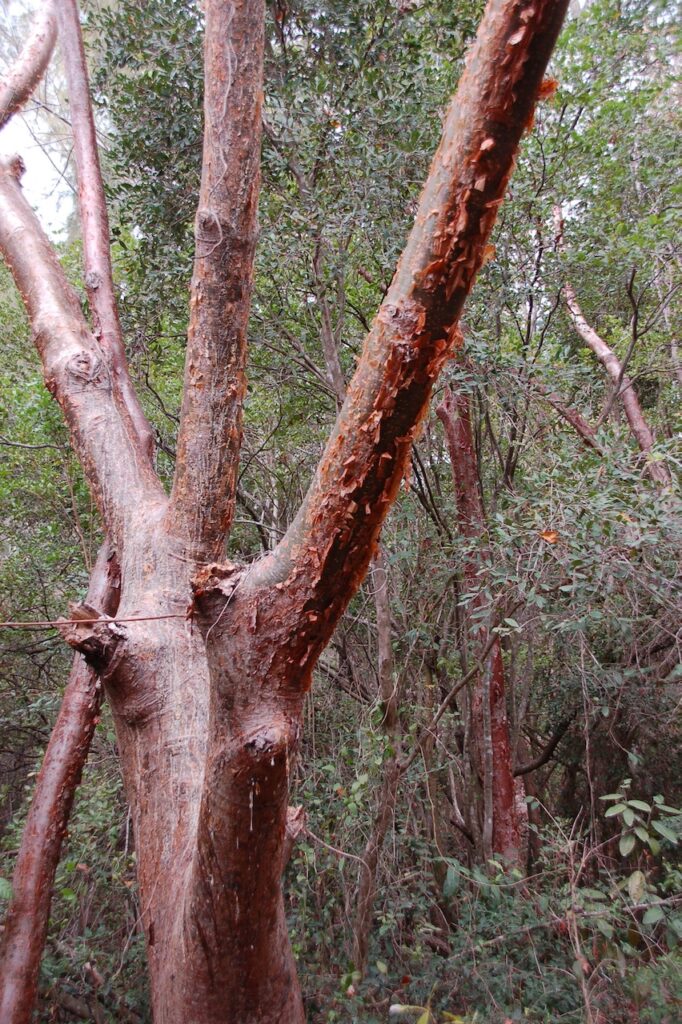
A Poisonwood tree. We gave them wide berth… 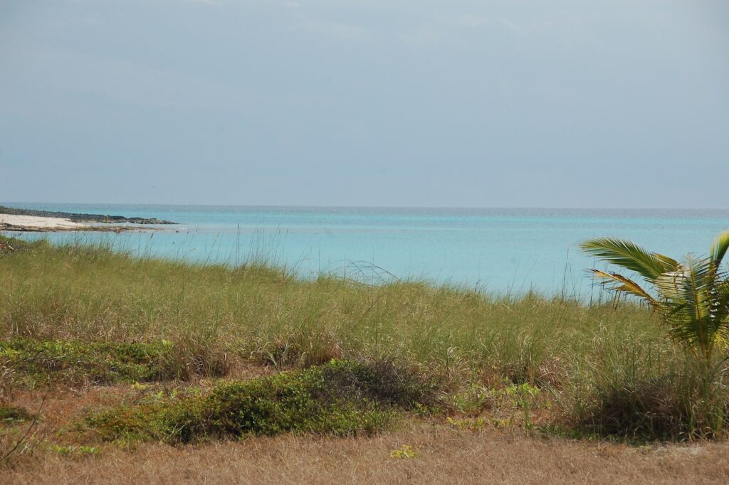
The nature walk looped along the coast before heading back into the jungle. 
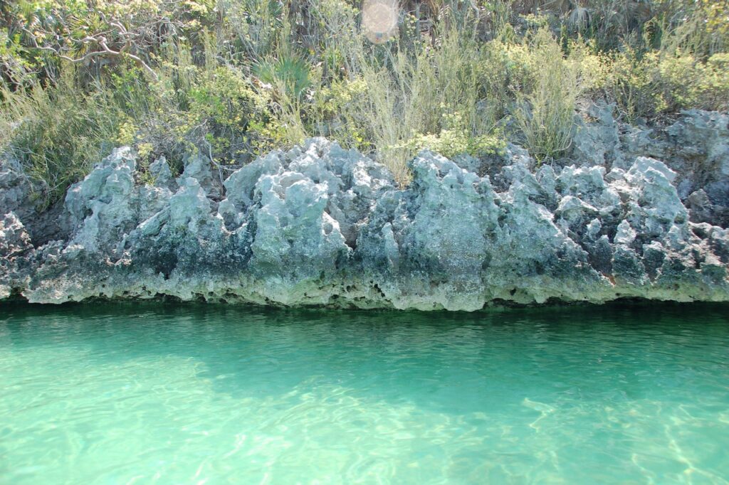
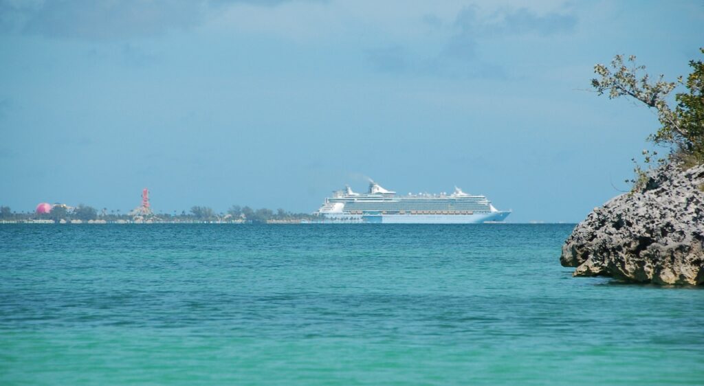
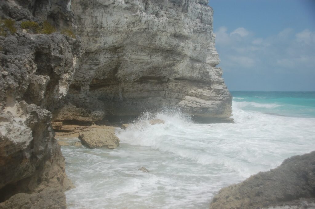
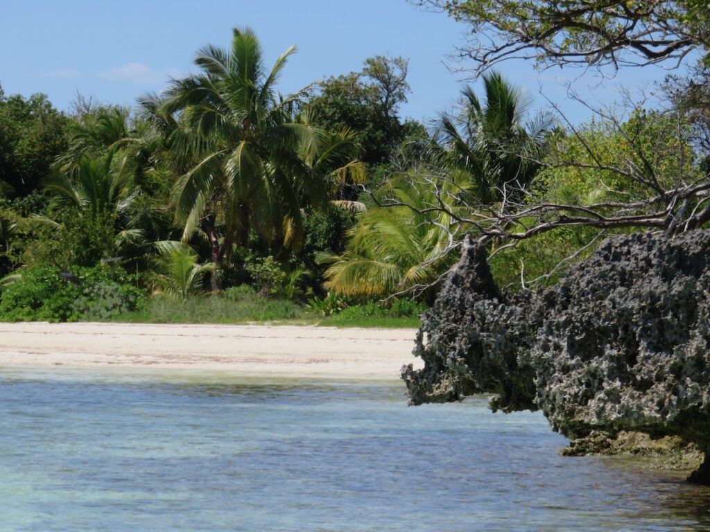
The flats of Bimini. The water is inches deep at low tide… We left Bimini and ventured into the NW Providence Channel, headed for the Berry Islands. This was a two day voyage for us so we spent the night on Mackie Shoal, literally in the middle of the ocean. As I mentioned, our wind and wave luck ran out and these two days & nights were unpleasant to say the least. We called “uncle” and went into the marina at Chub Cay.
Chub Cay
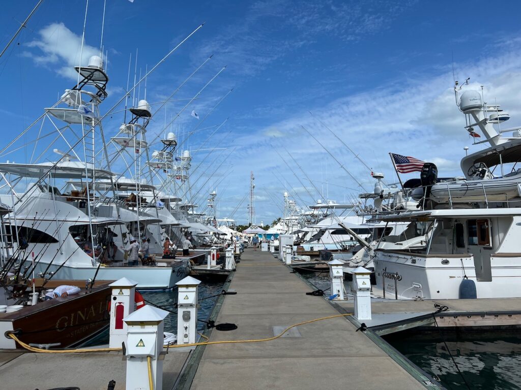
Chub Cay is known as the “Bill Fish Capital of the World” because of its location. We were lucky enough to be there during the Chub Cay Invitational, a fishing contest that costs $20-30K to enter (after you are invited, of course), with a purse of $120K! This is one of 3 docks chock full with these fishing machines… 
PS Look up how much one of these bad boys costs… Most are 62ft Vikings. 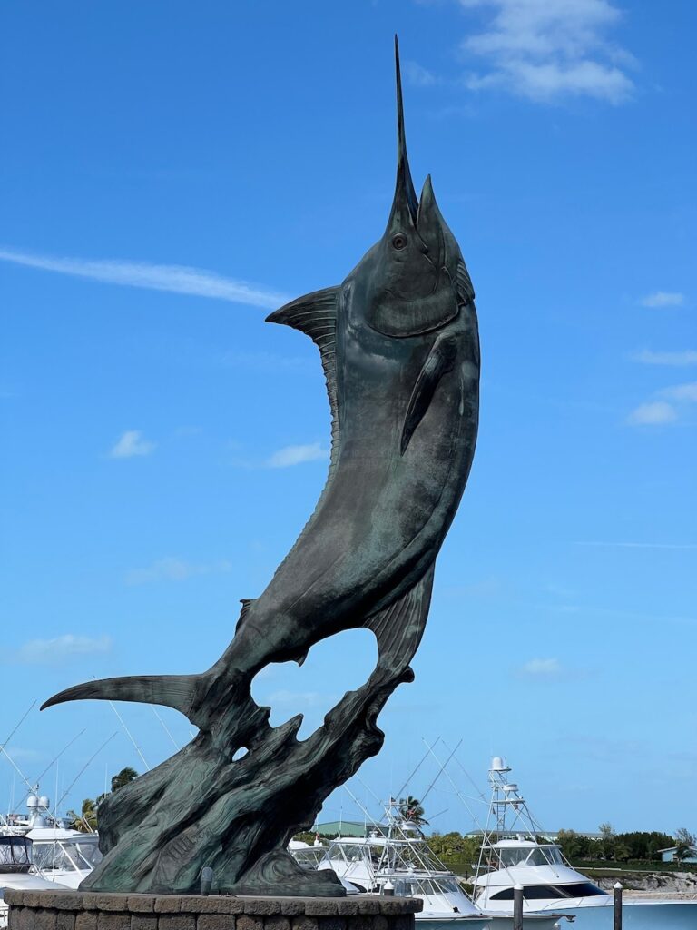
This is one of the “Bill Fish”, a Blue Marlin. The tournament prizes were for sail fish and blue & white marlins. 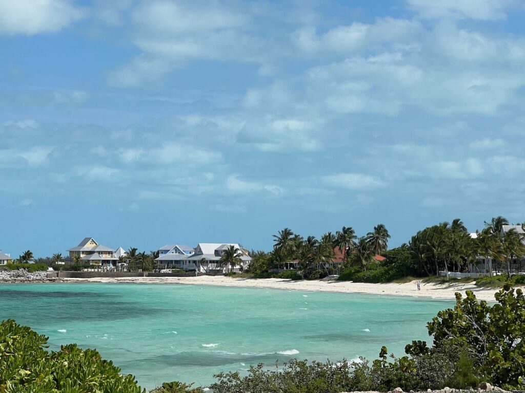
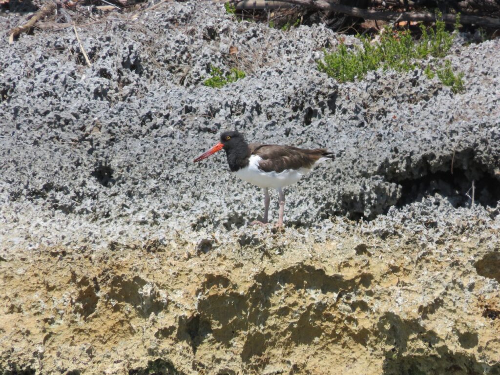
We didn’t fish (don’t know how) so we walked the island… 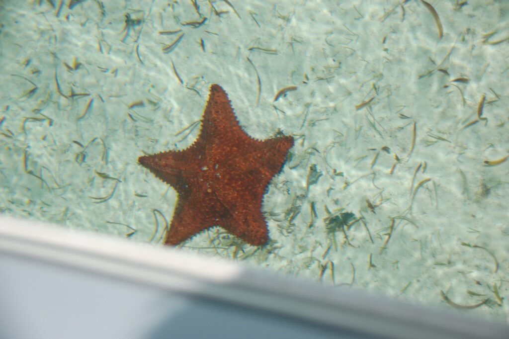
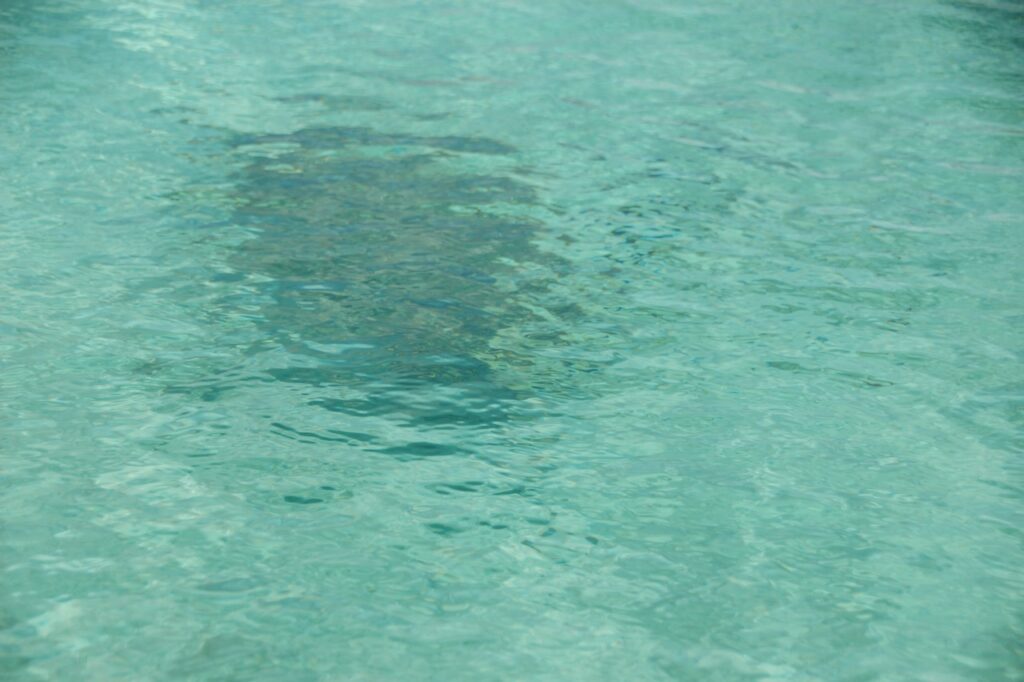
Went to Turtle Creek and tried to take pictures of the turtles (the blurry guy on the right)…
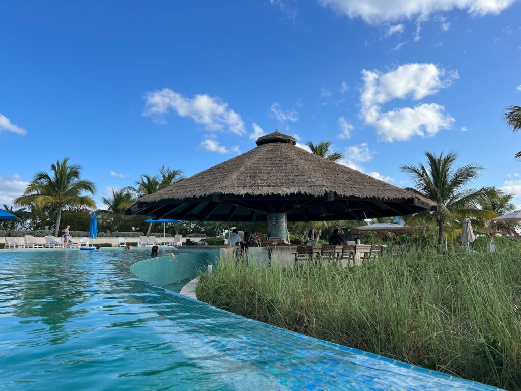
Hung out at the pool and tried the swim-up bar… 
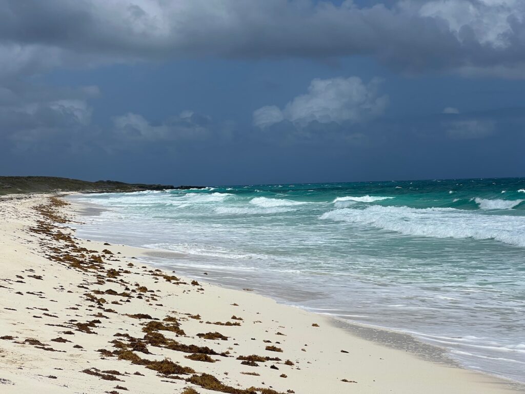
Swam at a secluded white sand beach… 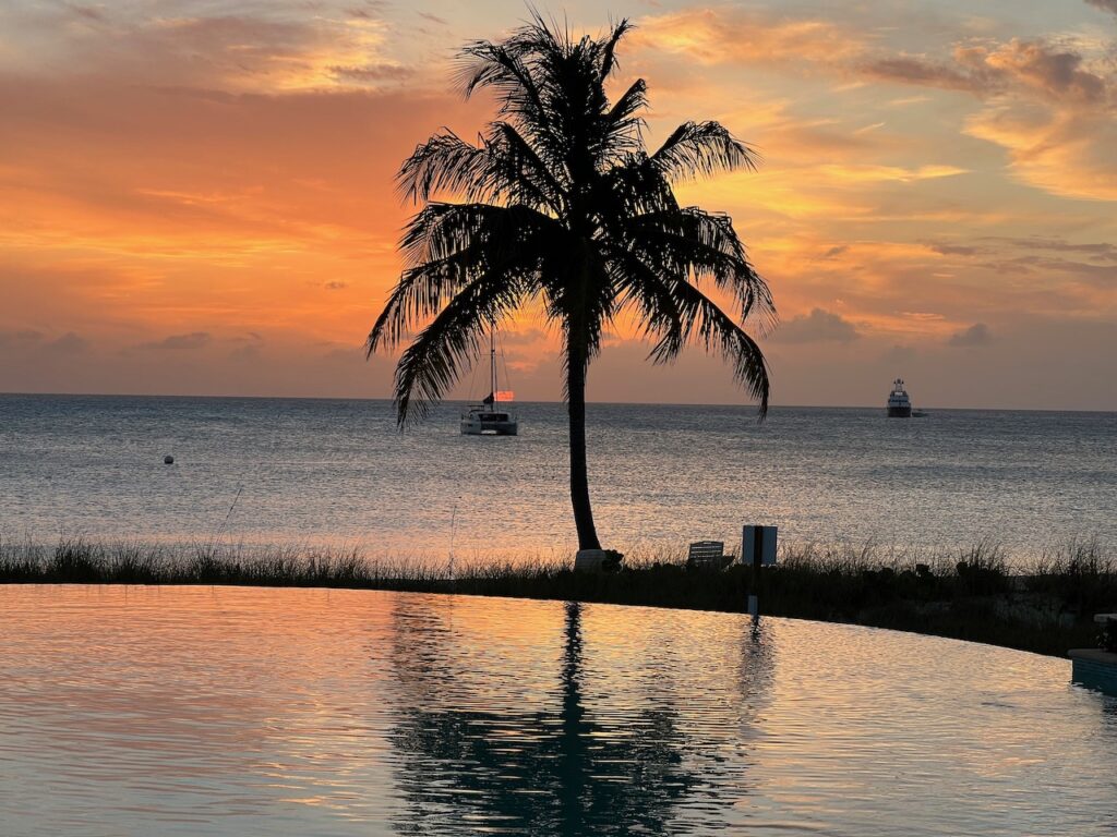
And, in general, erased the bad memories of the angry NW Providence Channel passage. While recuperating, we decided to go where the wind will allow us so I can’t promise what’s ahead but stay tuned… 
- Tour Boats
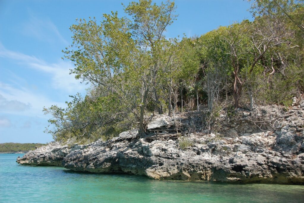
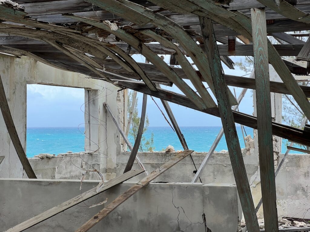
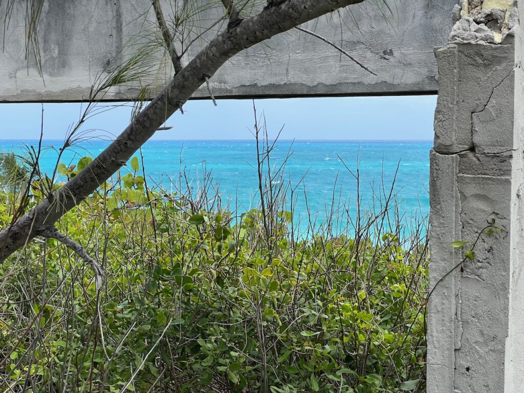
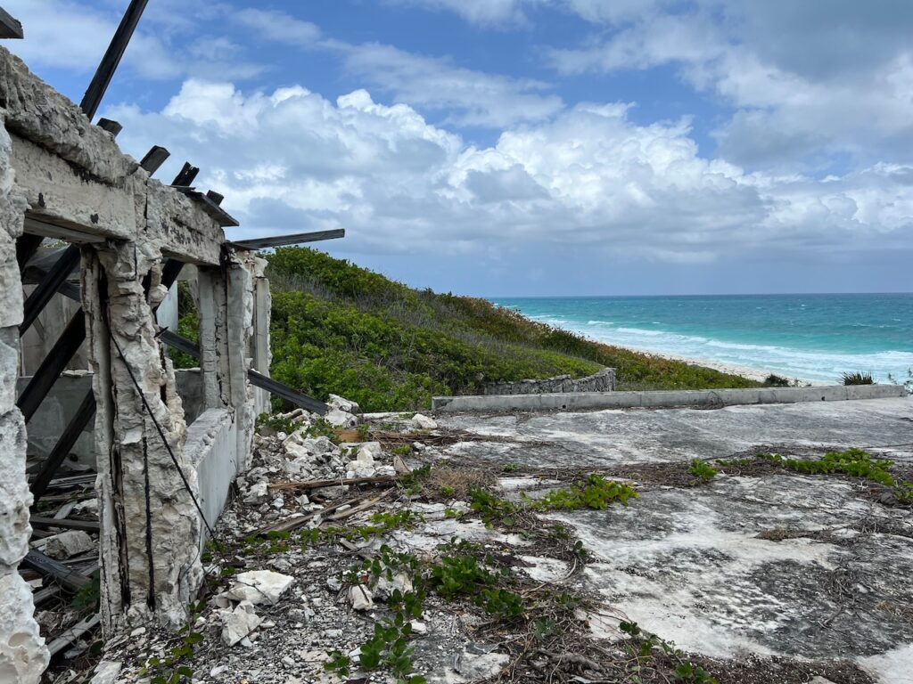
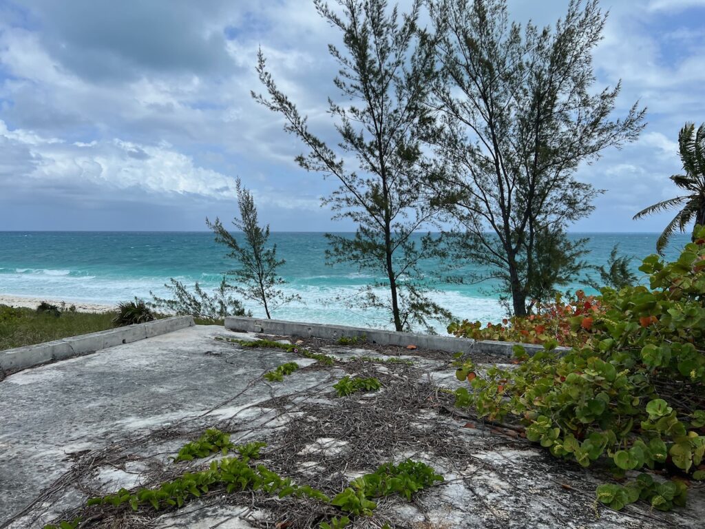
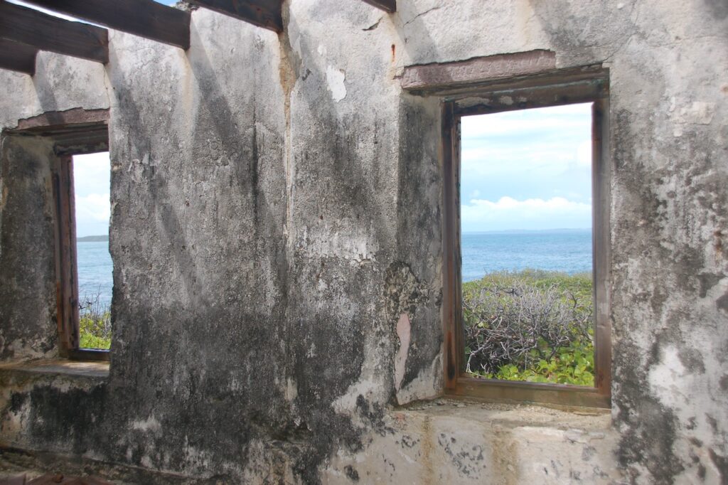
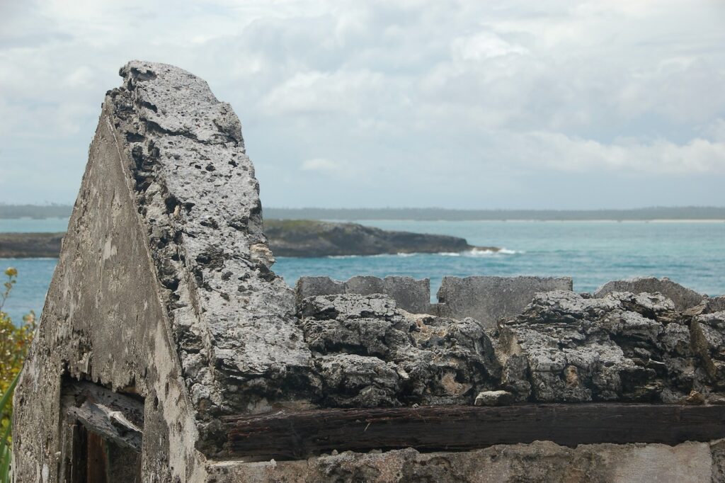
Come along on a dinghy ride and explore part of Cistern Cay’s western shore. The island is uninhabited now but was once home to some people the US’s DEA (Drug Enforcement Agency) wanted to get to know…
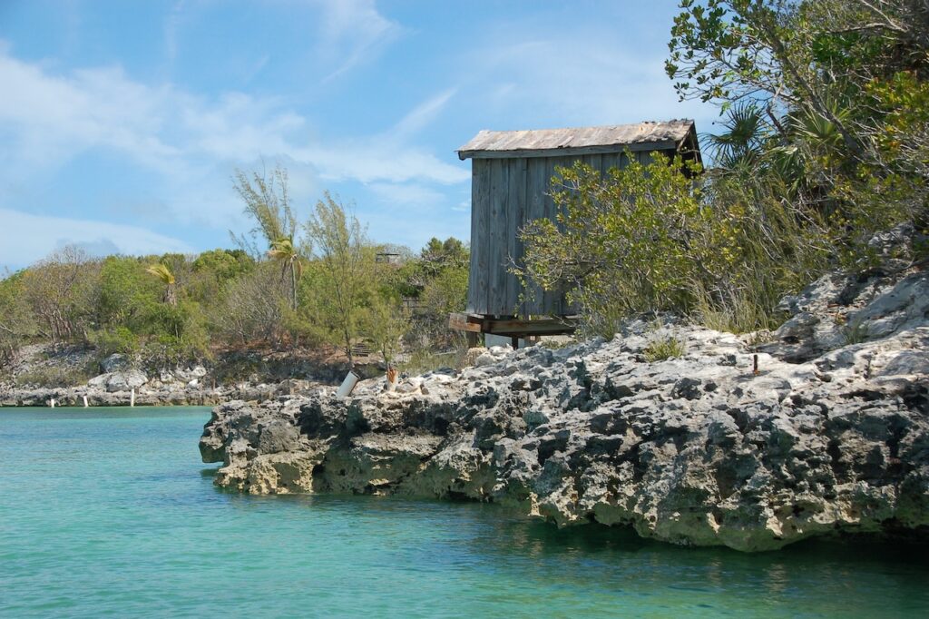
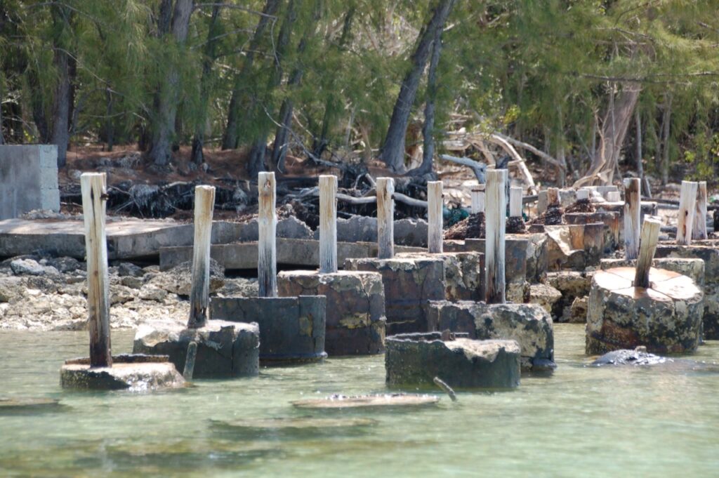
Leftover infrastructure… there are paved roads, two abandoned houses and an old sea plane ramp. 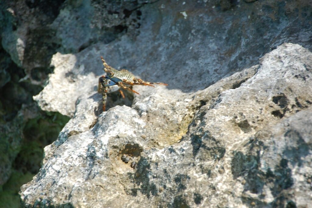
Correction, uninhabited by humans… 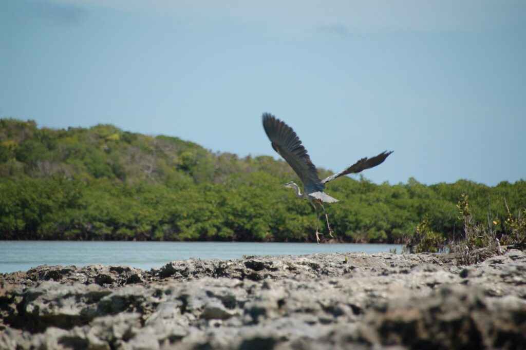
They paved Paradise and put up a parking lot… © © J Mitchell, Big Yellow Taxi, 1970
- Days Gone By…
Waiting for weather (again 🙄) kept us in the Berry Islands for another 10 days. We moved from the anchorage to the marina so we could break out our bikes and explore… and, actually, happily, we came to really like Great Harbour Cay and our time spent there. The island’s history is fascinating, we met, and traded stories with, fellow travelers and discovered Great Harbour Cay’s stunning beaches.
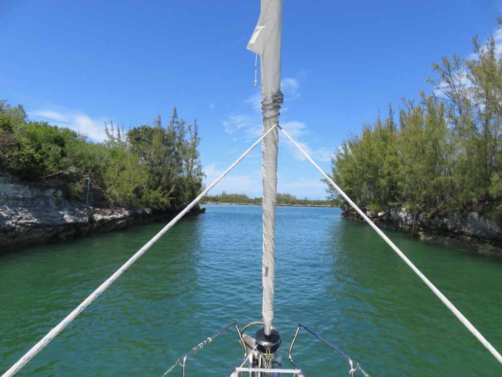
Great Harbour Cay Marina is a hurricane hole for the Berry Islands; it is accessed through this slim, man-made cut from the Great Bahama Bank to the inside of the island – Great Harbour Cay. Great Harbour is the largest of the Berry Islands and home to Bullock’s Harbour, the seat of the government in the Berry’s and the largest settlement with a population of 350 people. The island is only 7 miles in length and 2.5 miles wide. It runs approximately north-south between the Great Bahama Bank and the Northwest Providence Channel (open to the North Atlantic Ocean which is why we were waiting…) It is considered one of the “out islands” as commercial development is minimal and it is not easy to access except by small plane, or, of course, by boat.
Shelling Beach
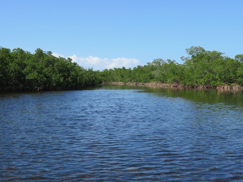
We rented a noisy, finicky golf cart to find Shelling Beach on the east side of the island. At the end of a bumpy road, through everything but beach vegetation, we ended at the peninsula with Shelling Beach on one edge and the exit from Little Shark River on the other.
The mouth of Little Shark River 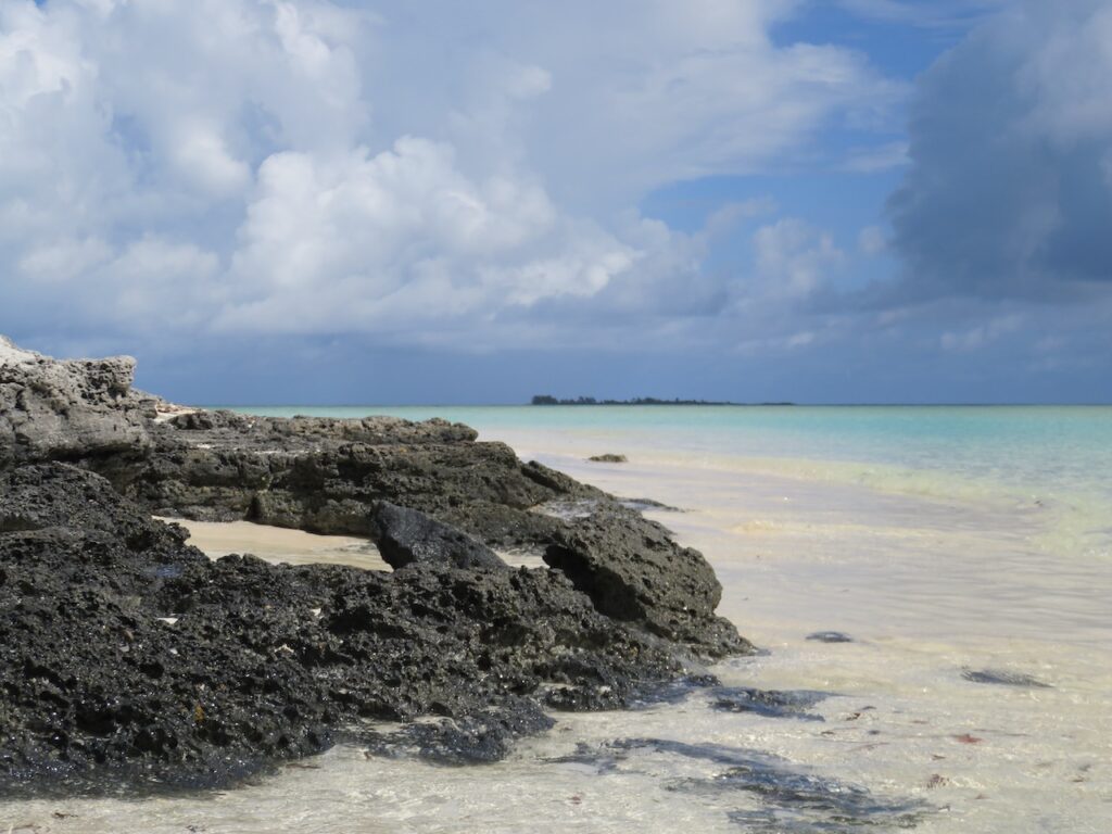
Around the corner… 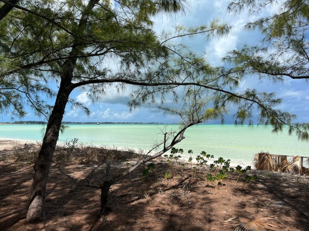
… to Shelling Beach. 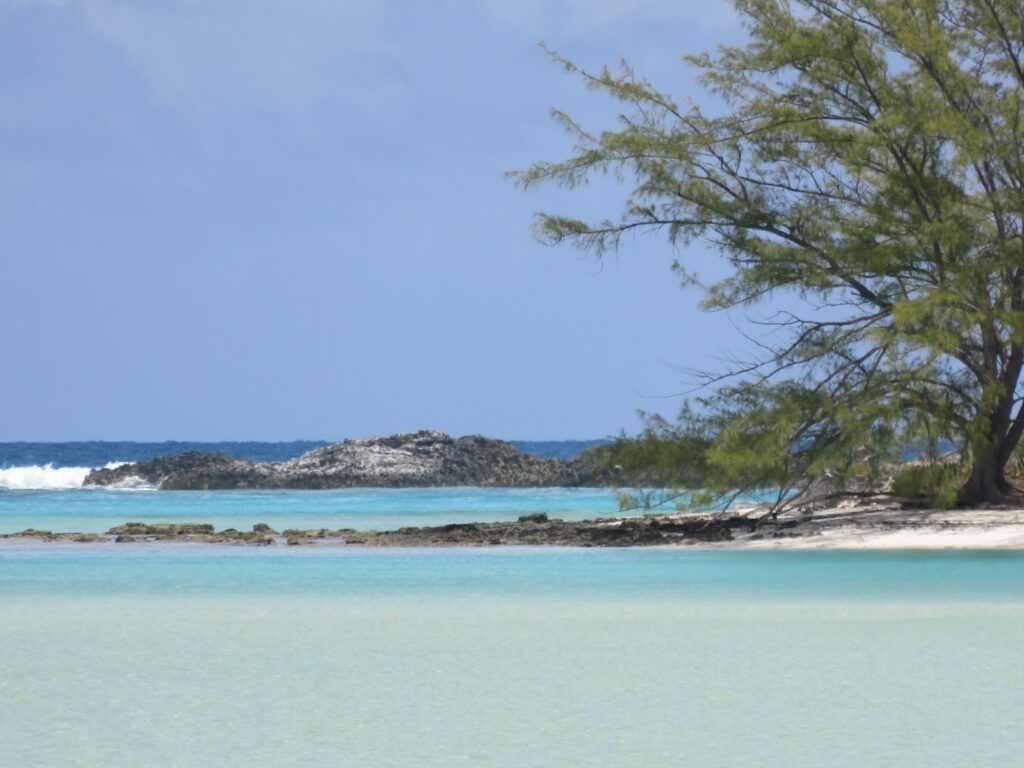
The blue water in the background is the Northwest Providence Channel; only this small shelf protects the bay on this side. 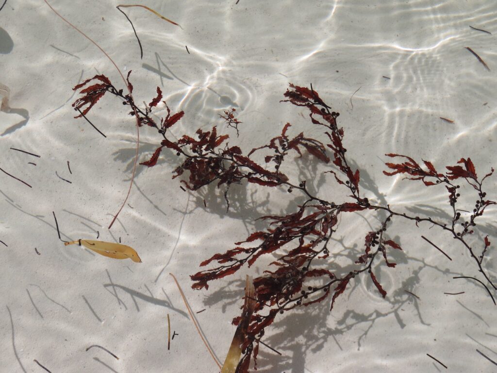
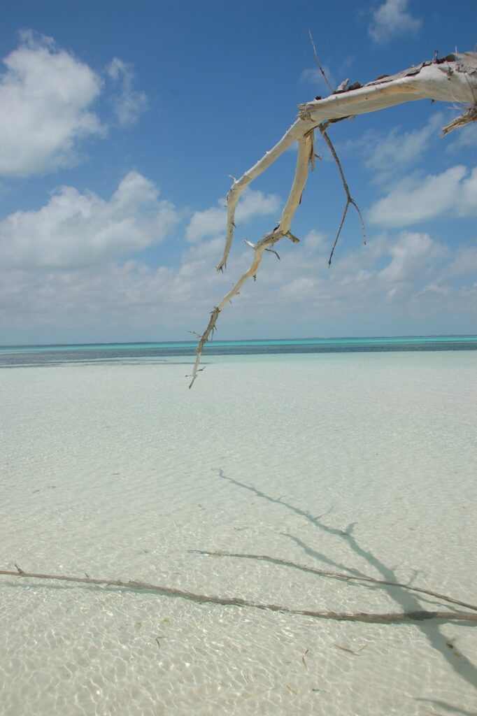
The clearest water and the whitest sand since Santa Rosa Island
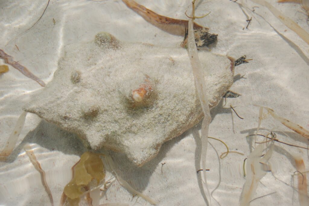
Anderson Cay Beach
You can cut through the cays from the Great Bahama Bank to the Atlantic by traveling the Little Shark River. By dinghy. Only at high tide. We were up for the challenge and headed out the day when the east winds were too strong to do much else on that side of the island. Unfortunately, even the high tide was too low so we visited a beach on the Great Bahama Bank side of the cay.
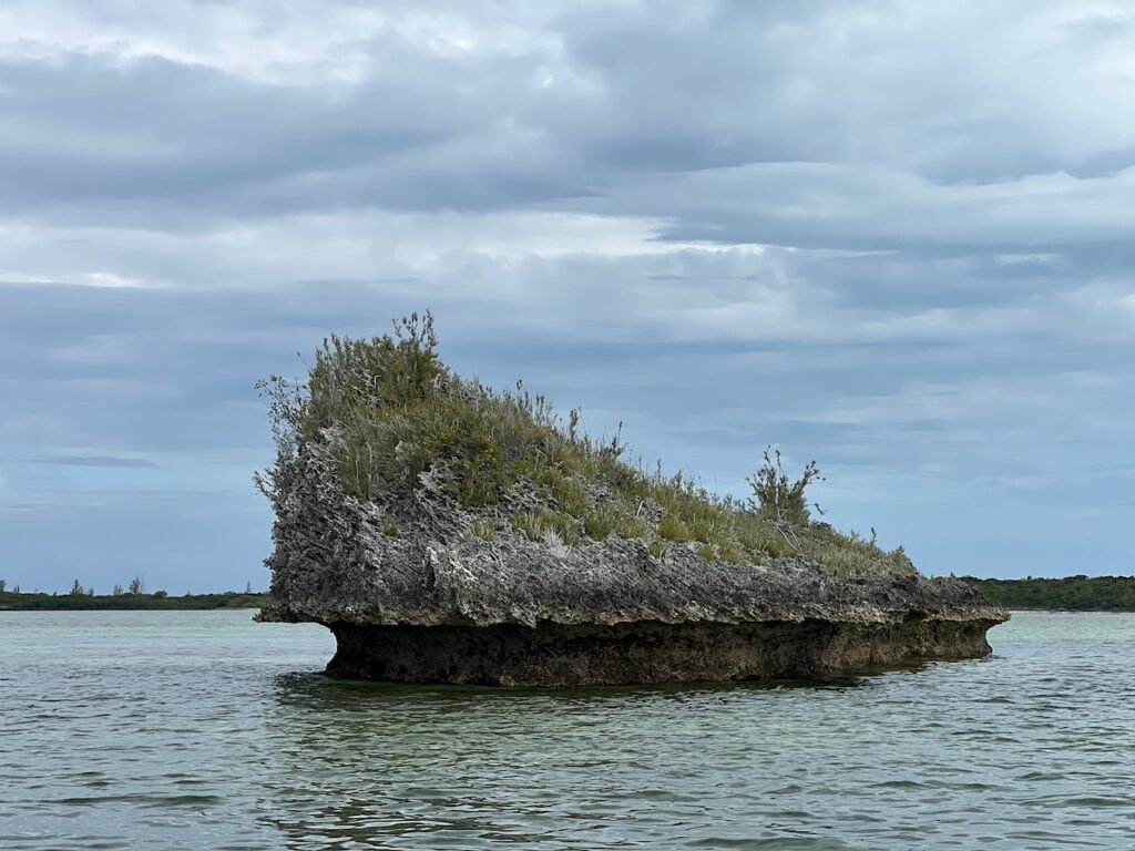
The Mushroom. This is at about 1 hour before high tide… a perfect illustration of how low it was that day… 
The beach was deserted except for the natives… The Ruins
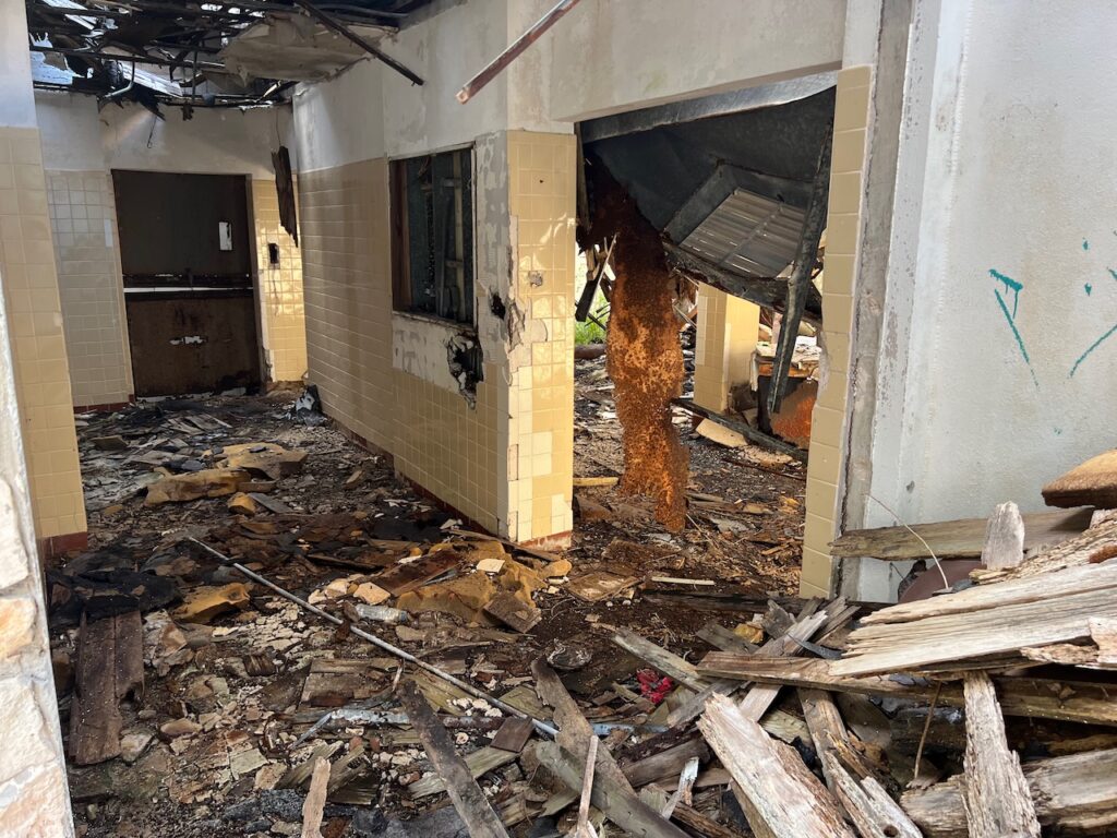
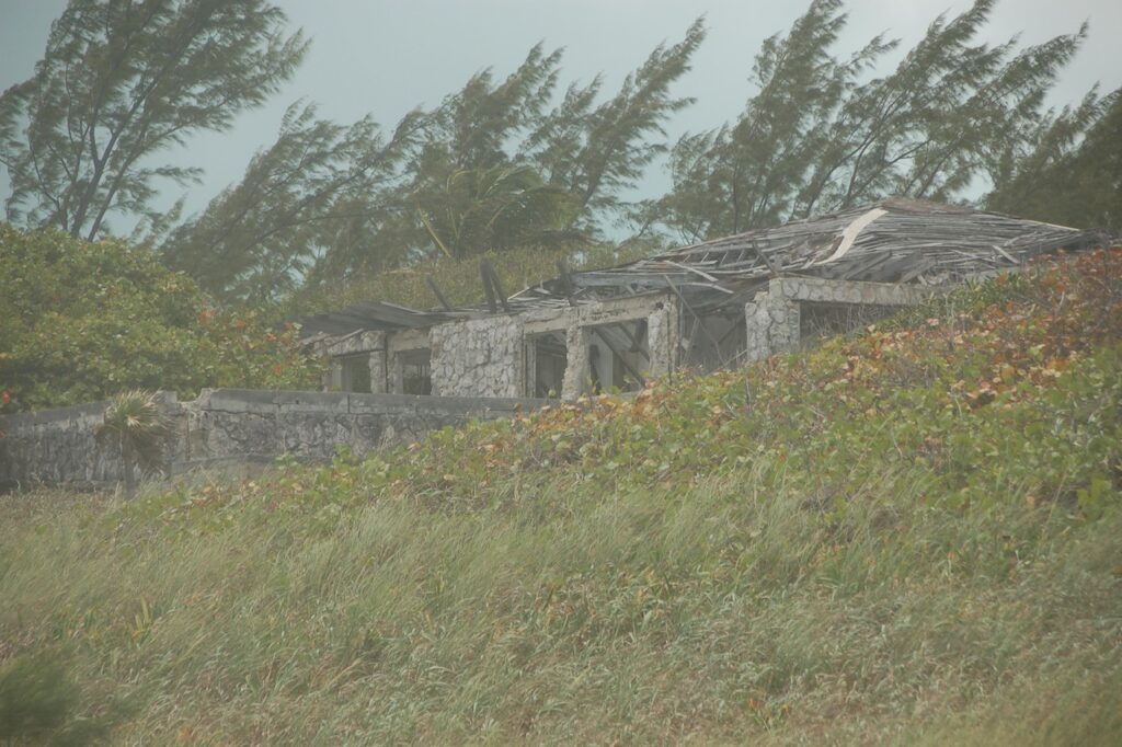
There is a wonderful history of Great Harbour Cay at https://www.greatharbourcaymarina.com/history which details the rise and fall of the island’s development by outsiders. What is left today are the physical ruins of The Clubhouse & The Sugar Beach Lodge and the stories of famous people who sunbathed here…
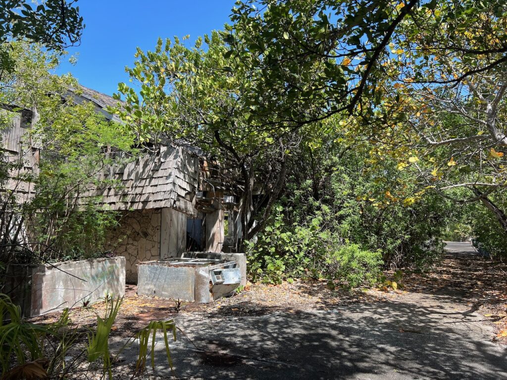
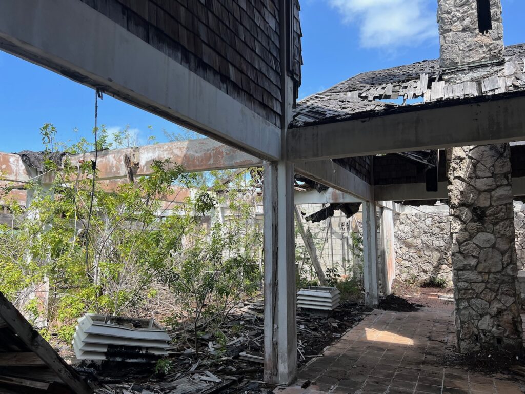
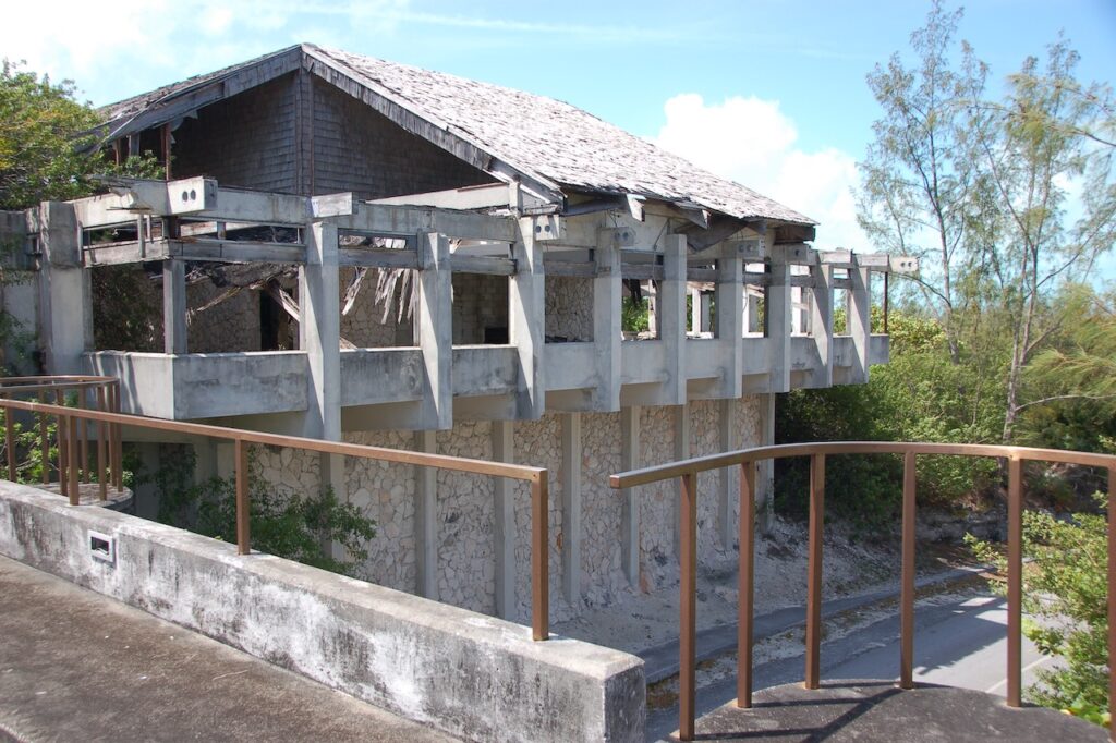
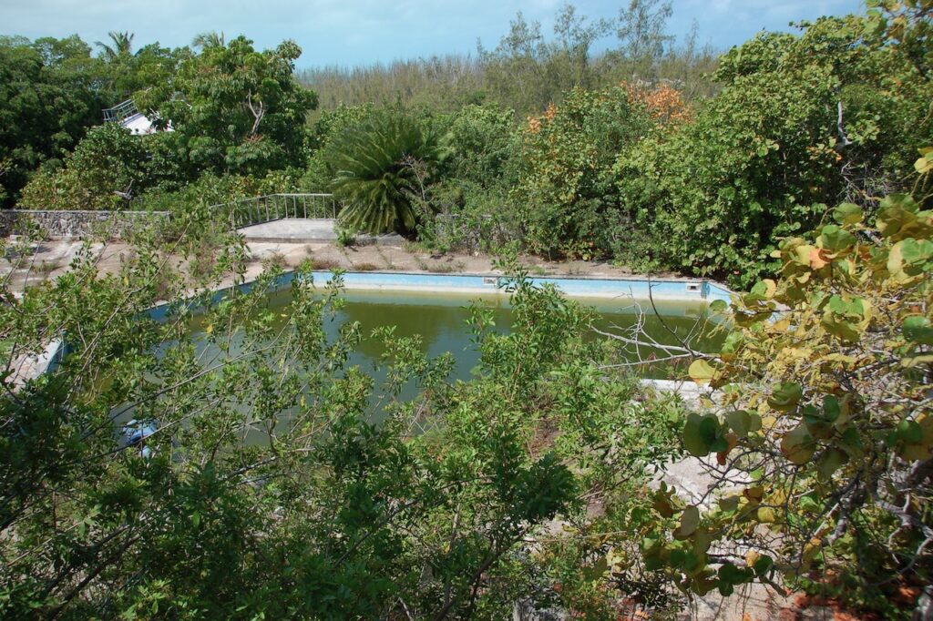
This is the Old Clubhouse, the original Rat Pack were rumored to be guests back in the ’60’s. Our marina was part of this development effort, as were the airstrip and a golf course. The “airport” is still operational and 9 of the 18 holes on the golf course are still maintained by the island’s residents. 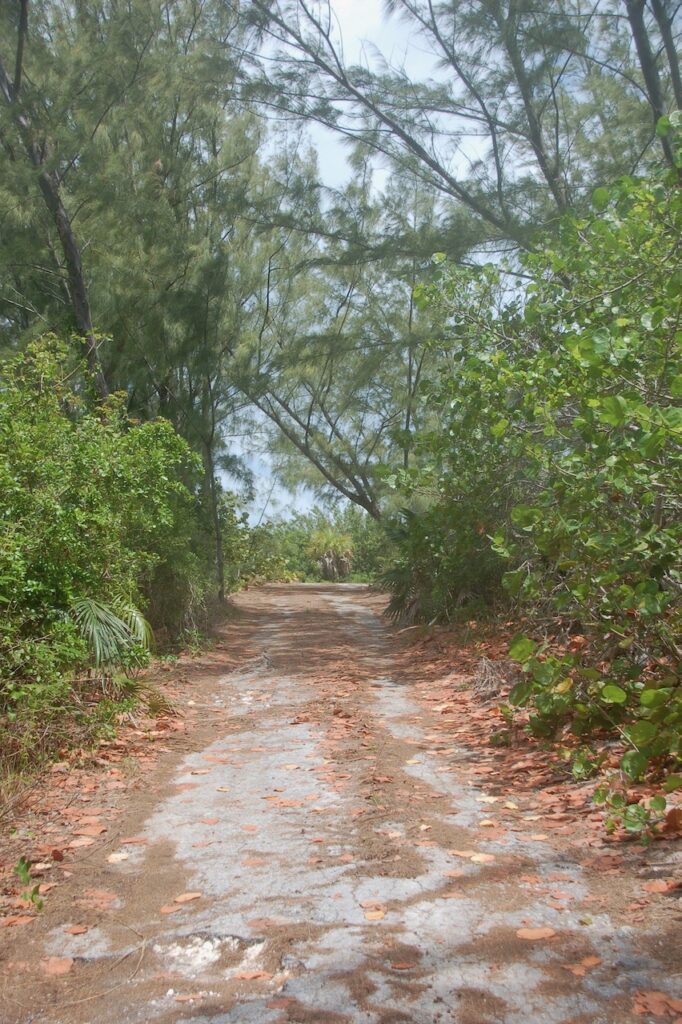
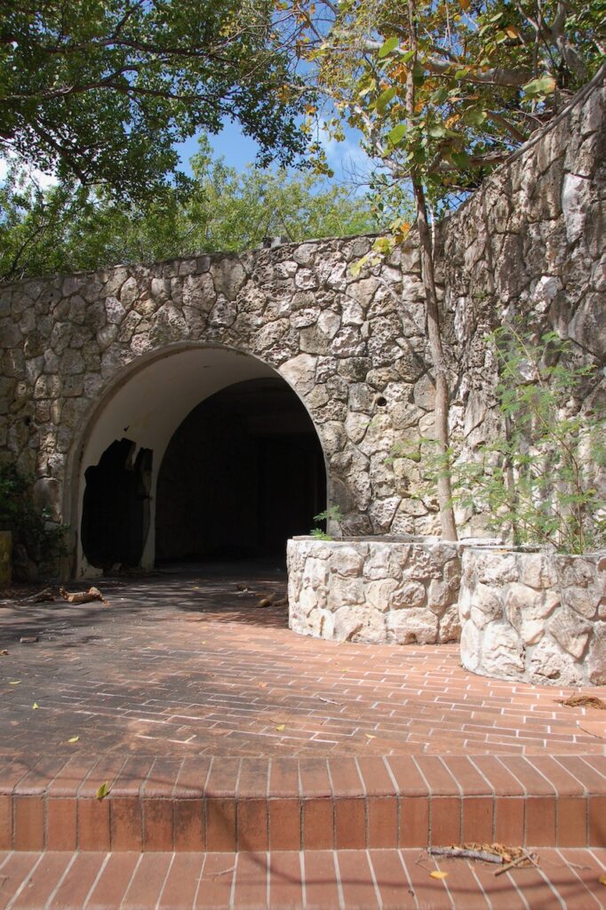
These are the Sugar Beach Lodge ruins. Hidden down a driveway from the main road and almost at the northern tip of the island, the lodge was secluded and private. Brigitte Bardot was said to have enjoyed the Lodge’s hospitality. The Caves
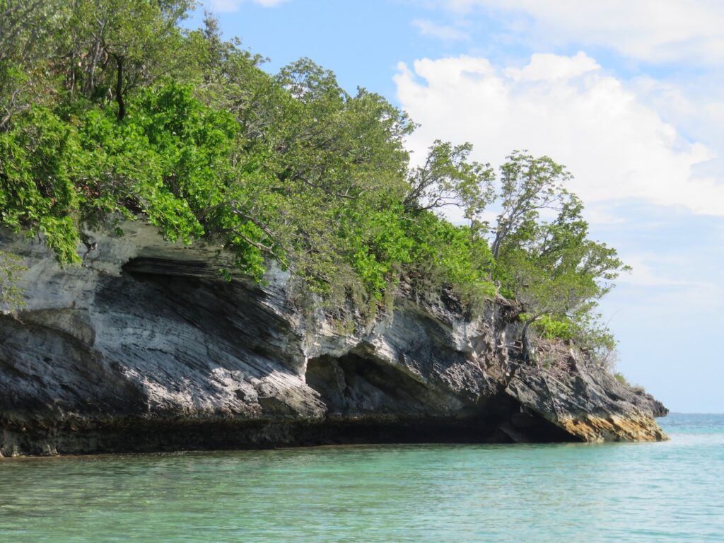
The spectacular Sugar Beach Caves are a mini version of the northern California coastline!
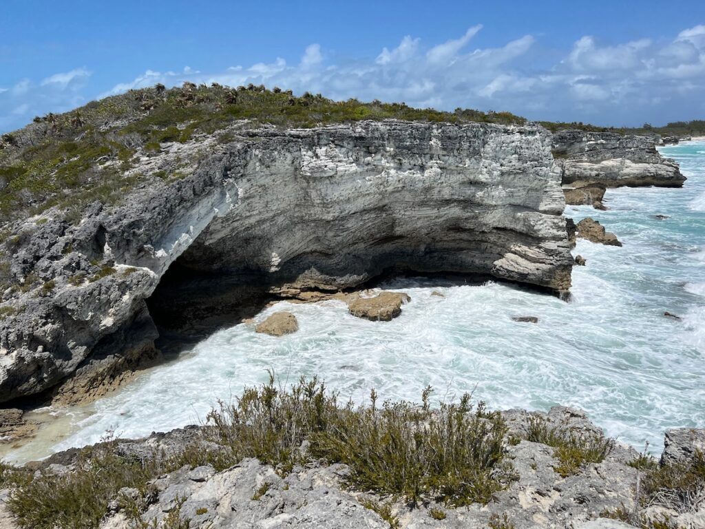
Sugar Beach, from the Caves, looking north to the Lodge. Little Shark River
We attempted the Little Shark River dinghy trip a second time with some veteran Loopers and this time we were successful!
Entering the river from the Great Bahama Bank side. 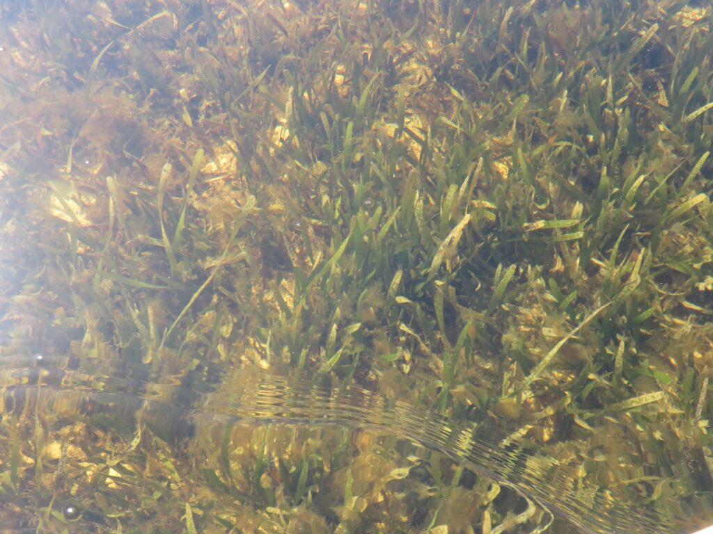
The river bottom and why high tide was important… 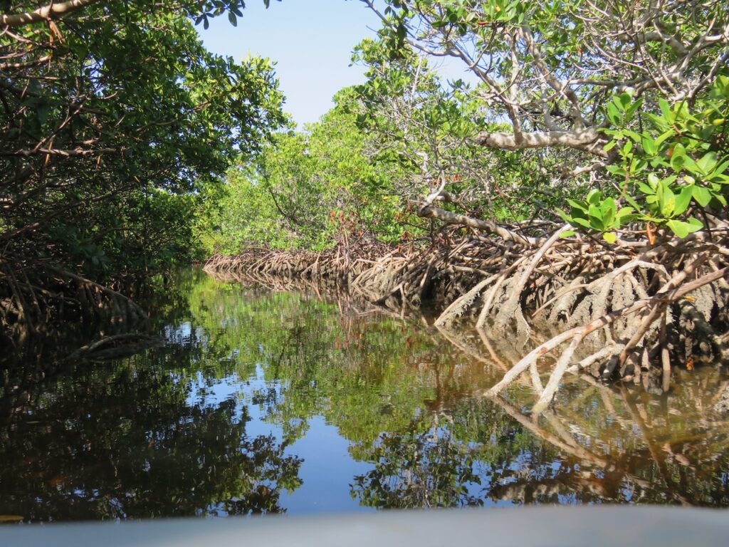
The river narrows down to a “dinghy-width” where the mangroves are the densest. 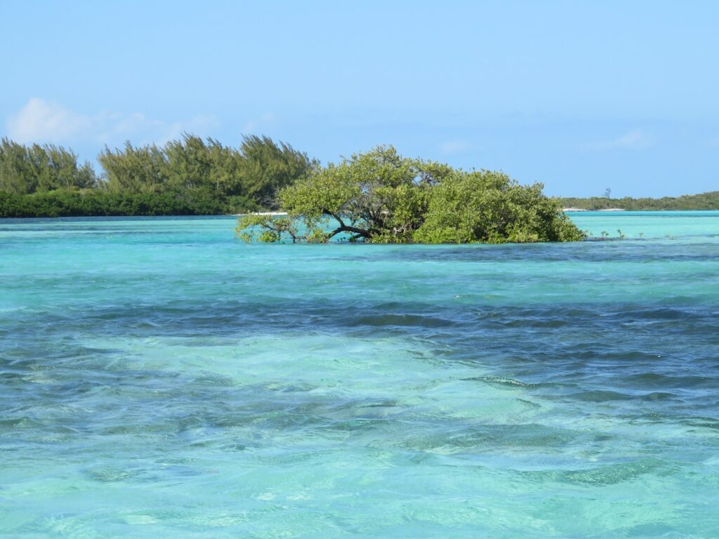
The kaleidoscope of colors on the Atlantic end. 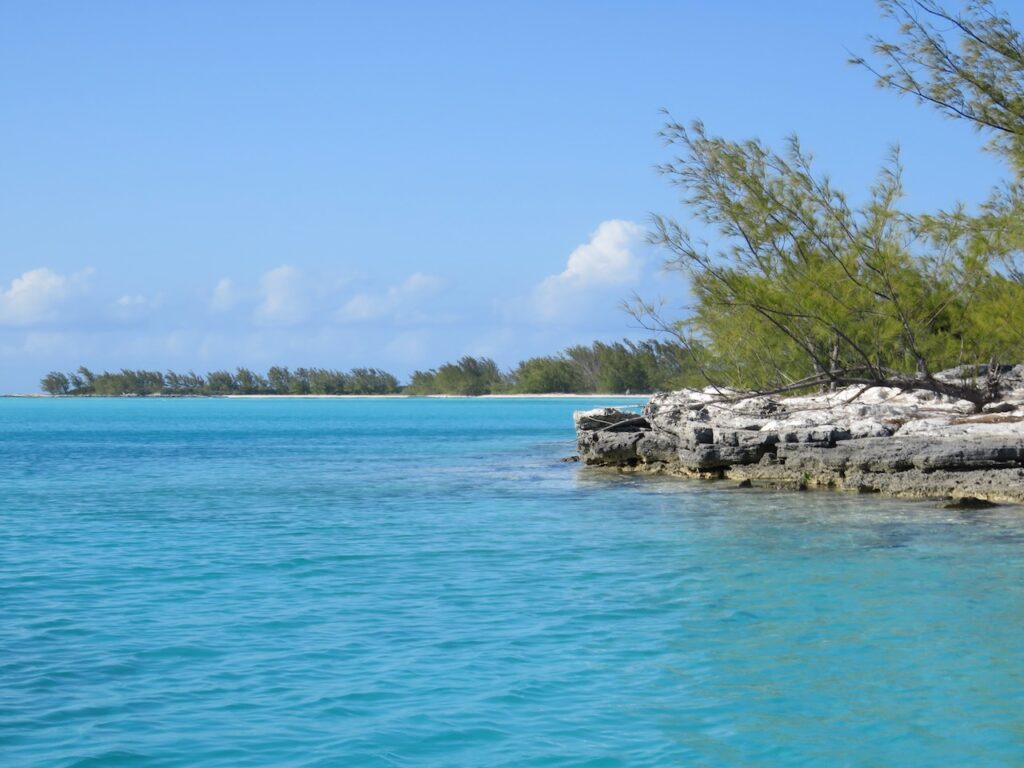
The peninsula at Shelling Beach again… 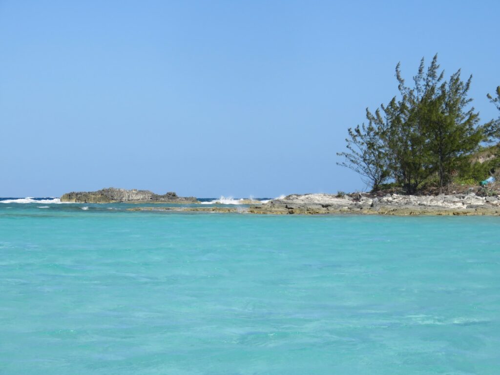
… and the Atlantic breakwater from the dinghy. 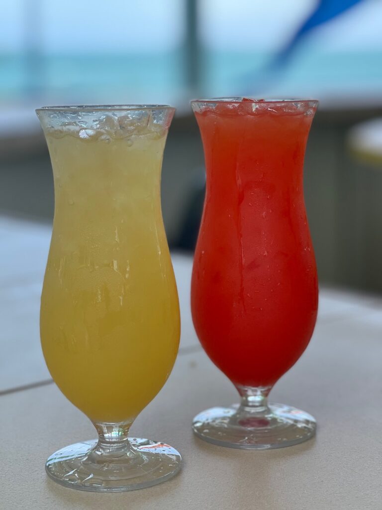
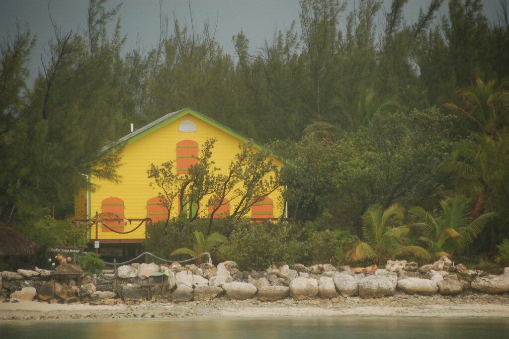
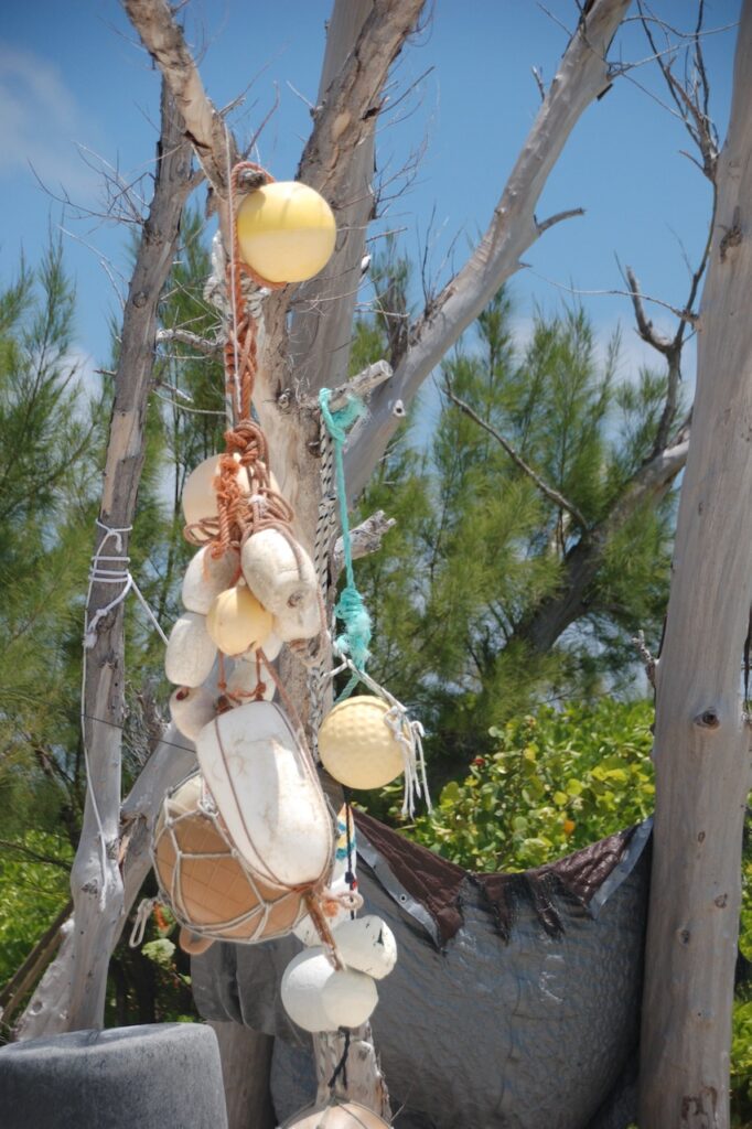
The New Beach Club’s answer to “too much sun”. - One Particular Harbour
A real, live rainy day to catch up on where we are… or, actually, where we were. Lynyard Cay and Little Harbour were our rewards for the long wait and the long passage across the Northwest Providence Channel to the Abacos.
To access the Abacos from the Berries, you round the southern most tip of Great Abaco Island and enter the Atlantic. We jokingly wondered if we had gone too far and wound up on the coast of Scotland… 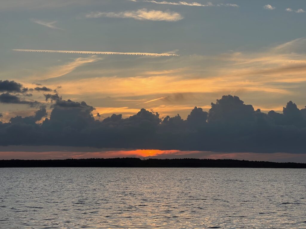
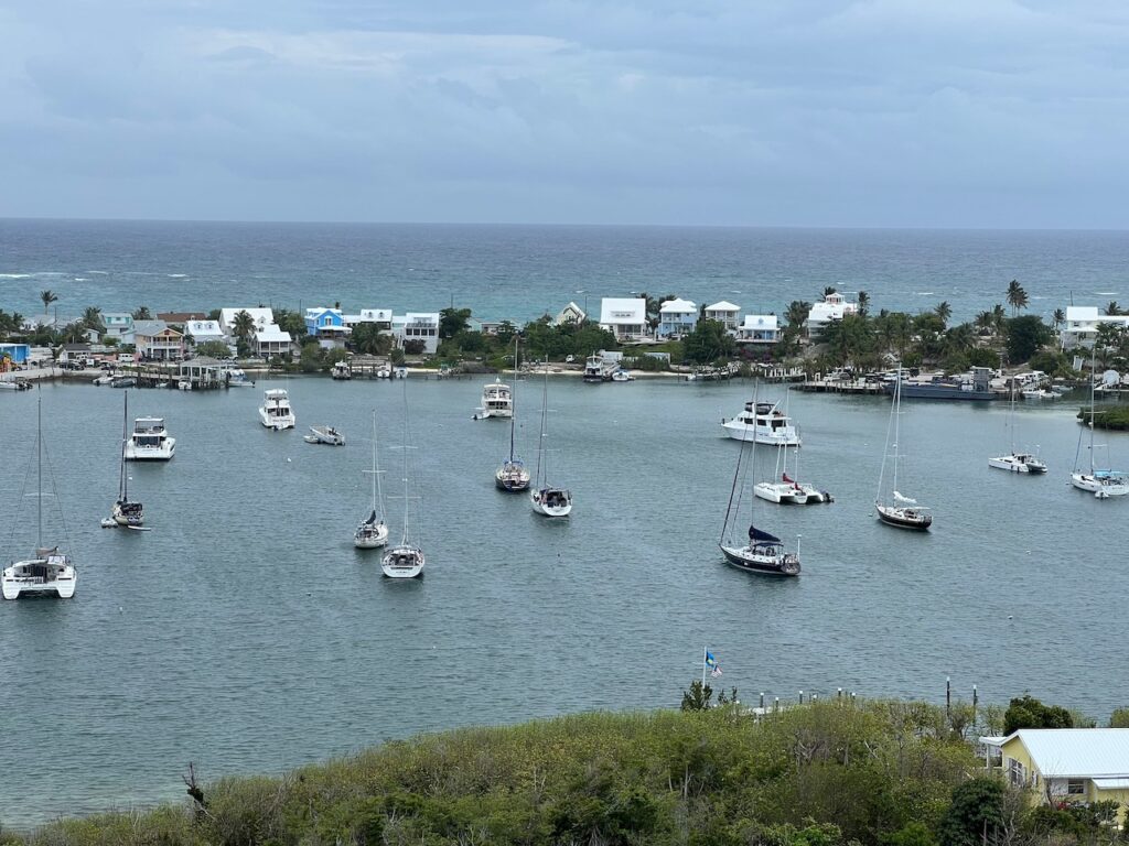
Lynyard Cay is the southern most island between the Sea of Abaco and the Atlantic. It was good to be on anchor again after the long stint in the marina. 
Little Harbour is the southern most harbor on Great Abaco Island. It is a small, well-protected harbor with an internationally renowned foundry and one of the best beach bars around.
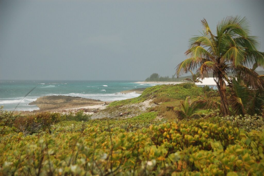
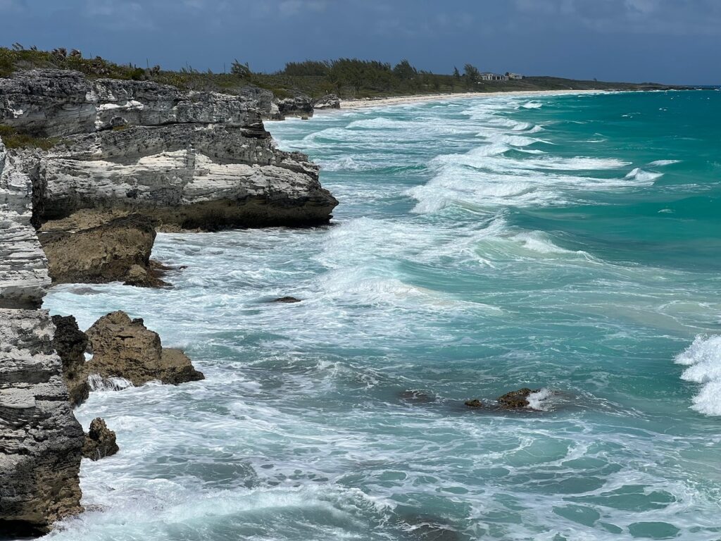
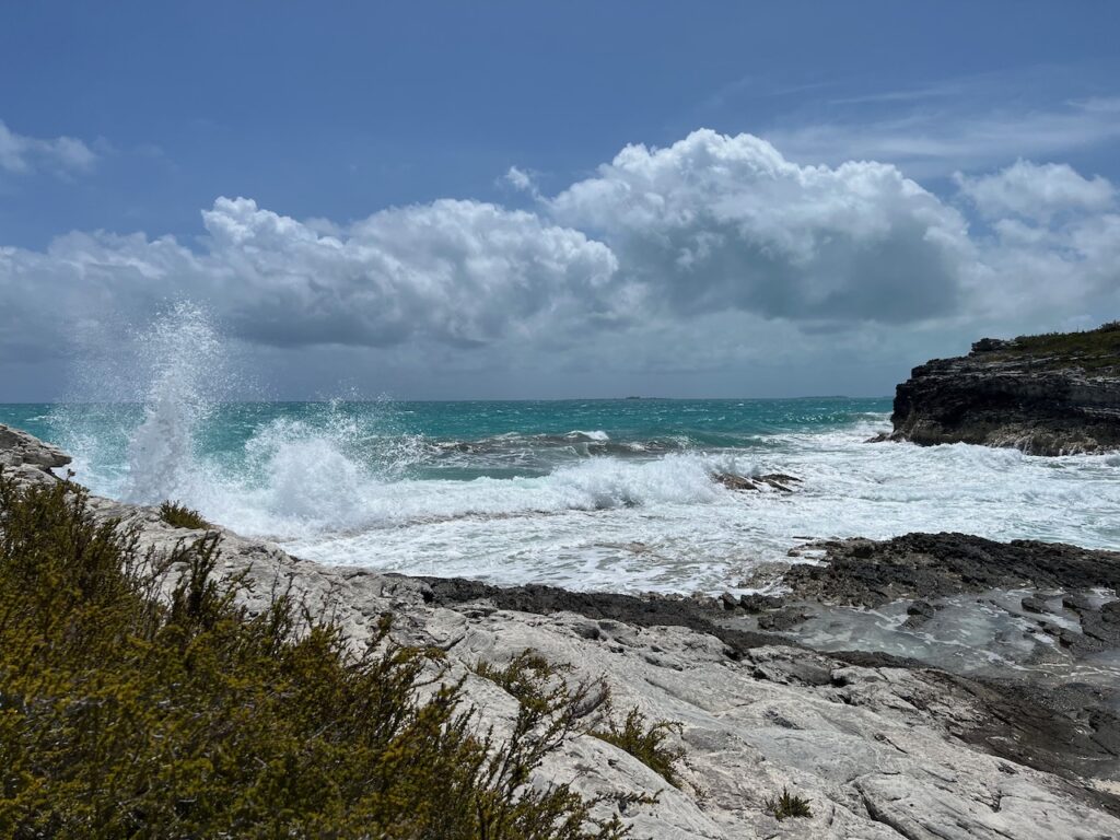
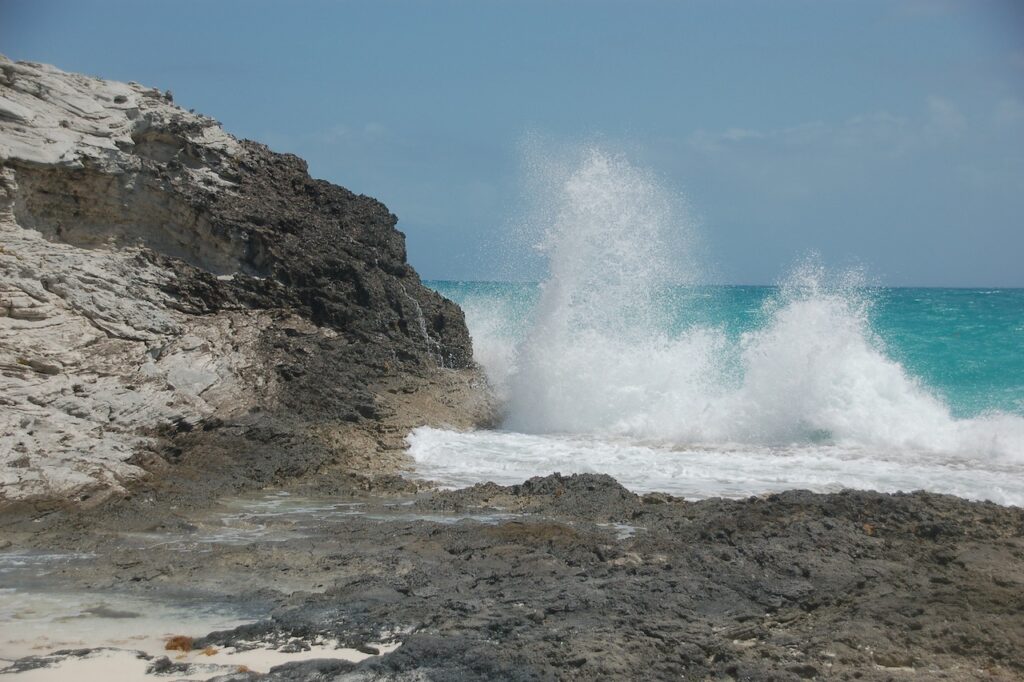
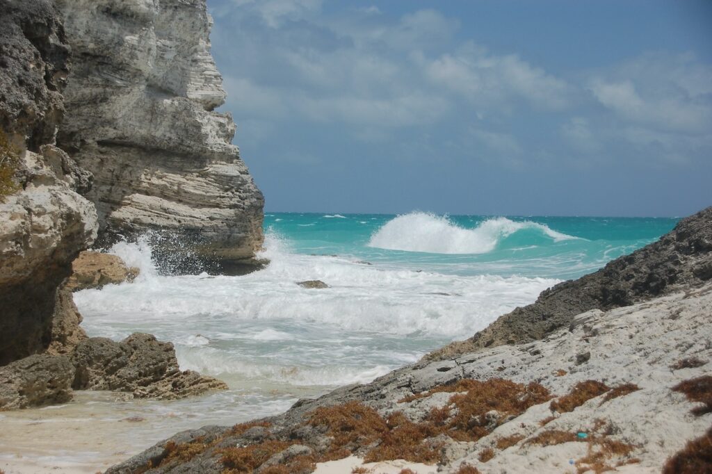
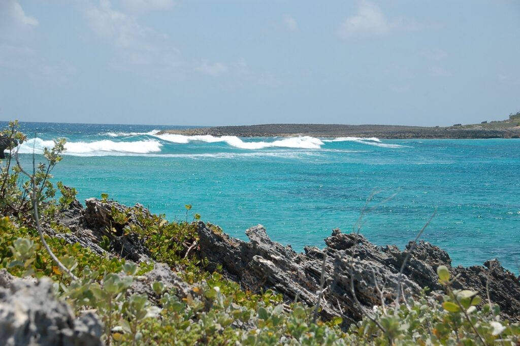
The Atlantic shoals on the backside of Little Harbour. 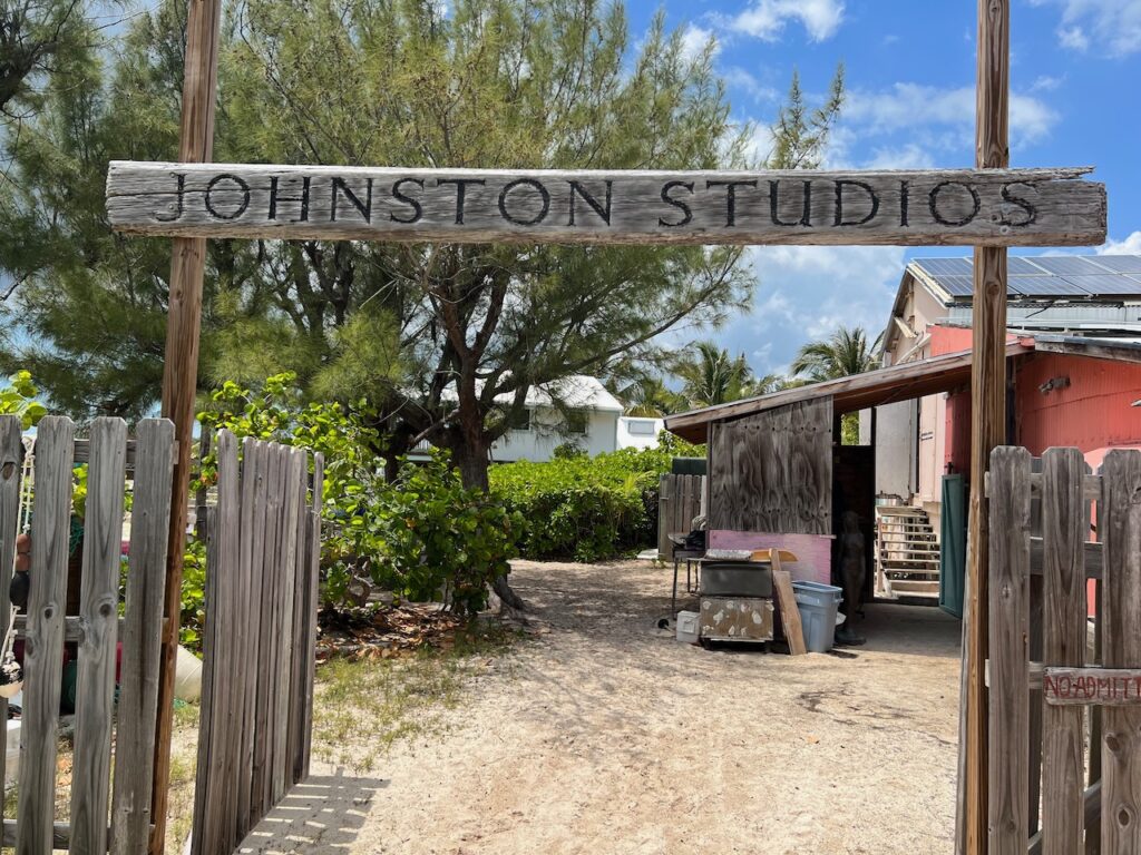
The foundry which Randolph Johnston started, now run by his son Pete. The foundry uses the lost wax process to cast, primarily, bronze. We were fortunate enough to tour the foundry on a day that they were casting. 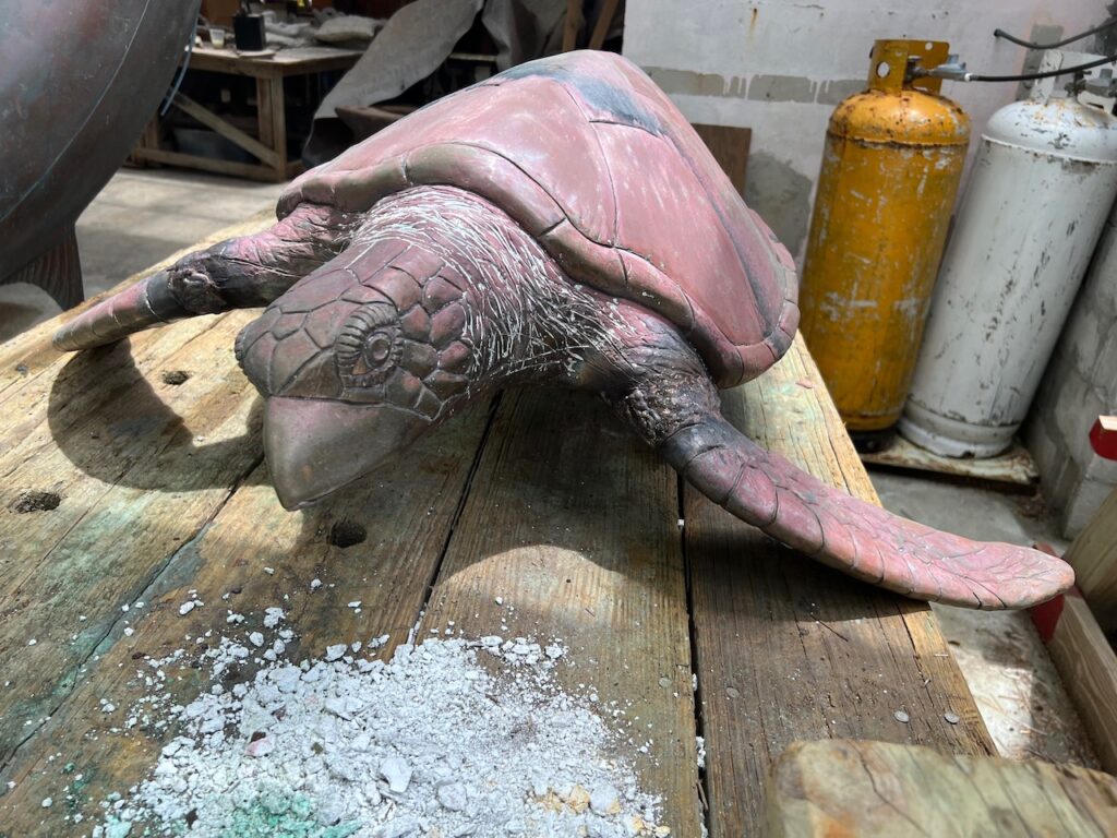
The process starts with an artist making a detailed clay model… 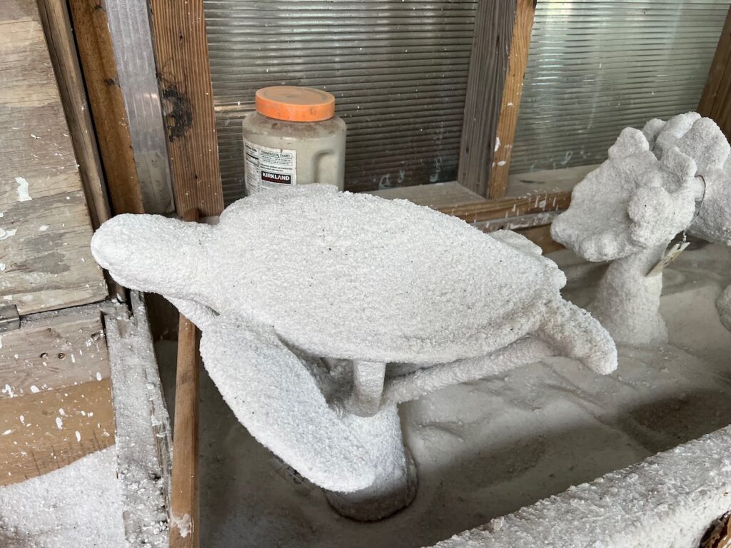
A ceramic mold is cast around a wax model which was made from the clay artwork. 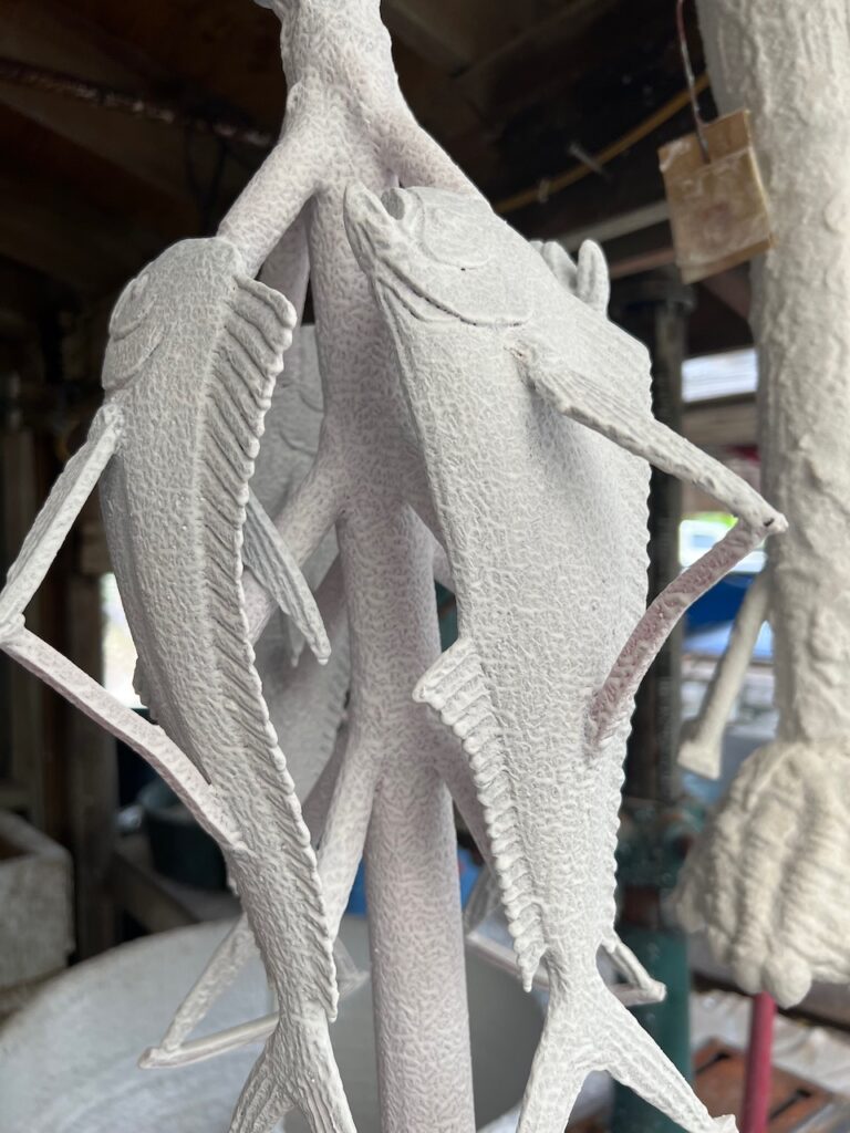
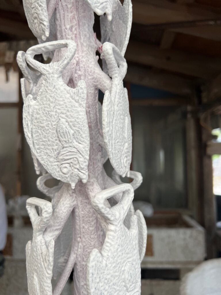
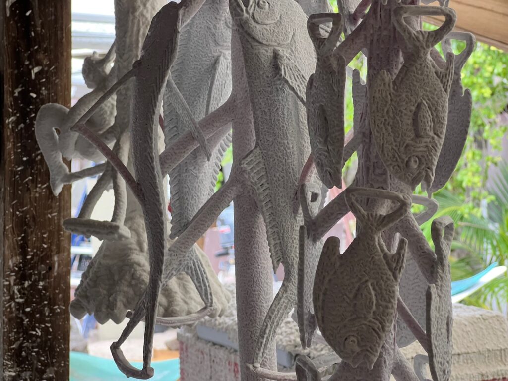
The molds are attached to “trees”, or venting structures, for the spruing, slurry and burnout processes – these are the processes which create the hollow mold of the original artwork.
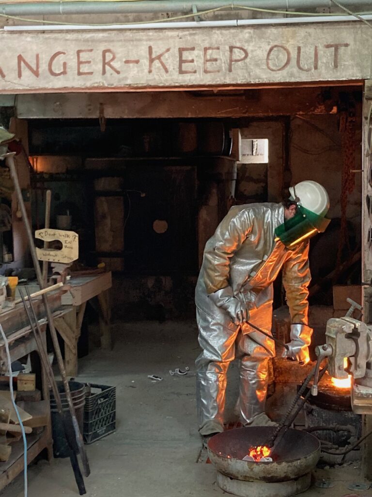
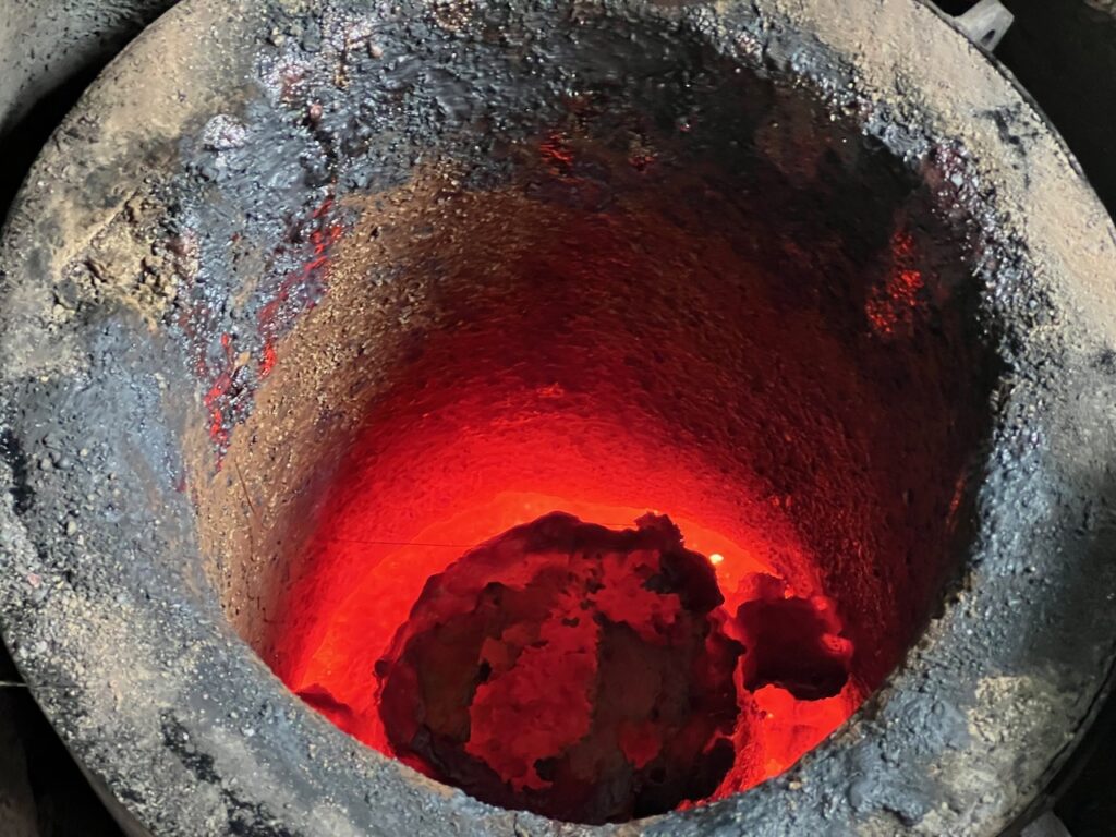
The finished molds are brought up to temp while the casting material is prepared.
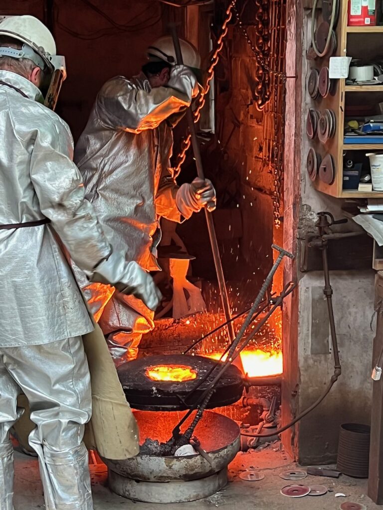
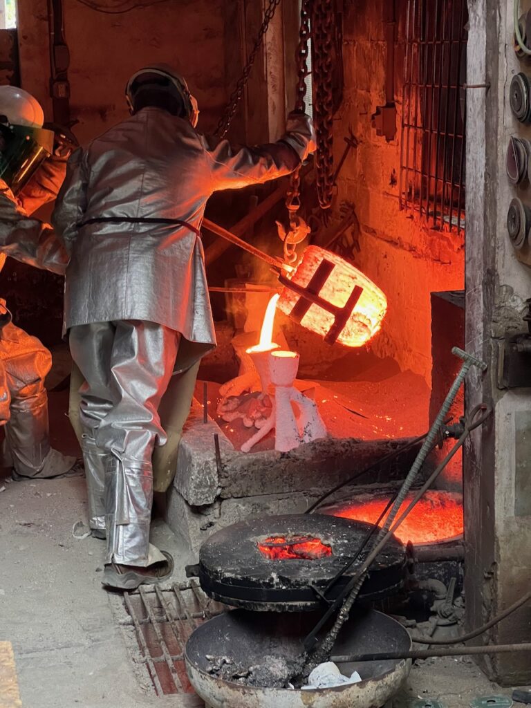
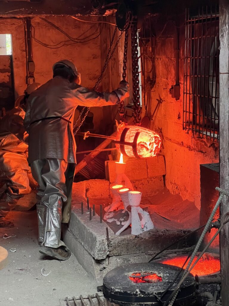
Molten bronze is poured into the molds.
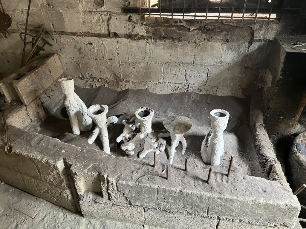
Once cool, the molds will be broken away and the cast pieces will be finished. For example, these are multiple pieces of a tree which will be welded together. Other pieces may require only flashing removal or have a patina applied. 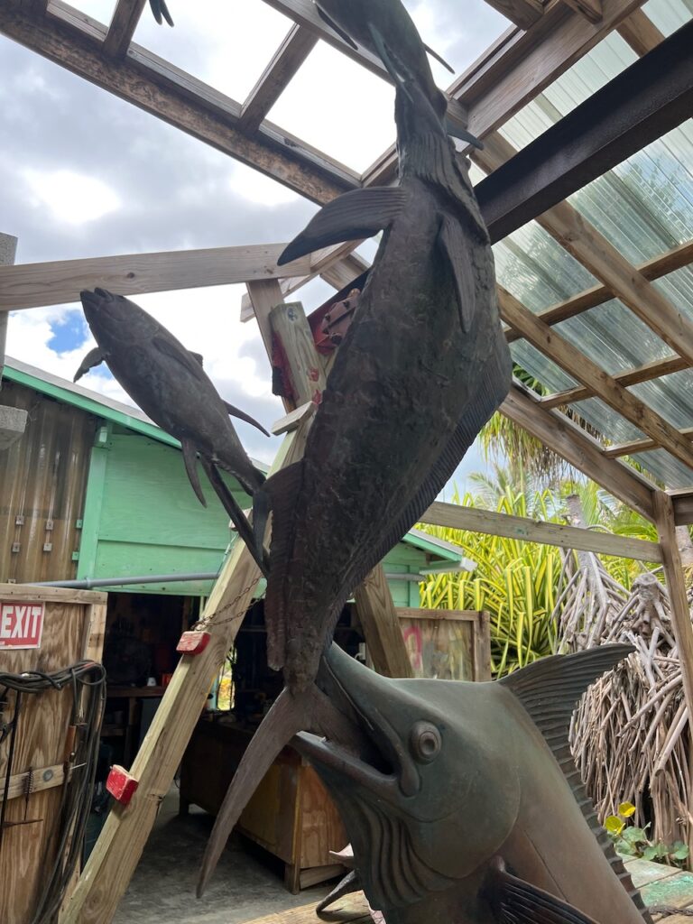
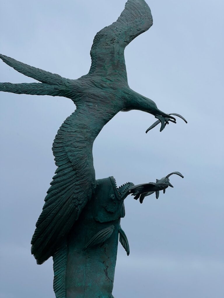
The scale of some of the art produced here…
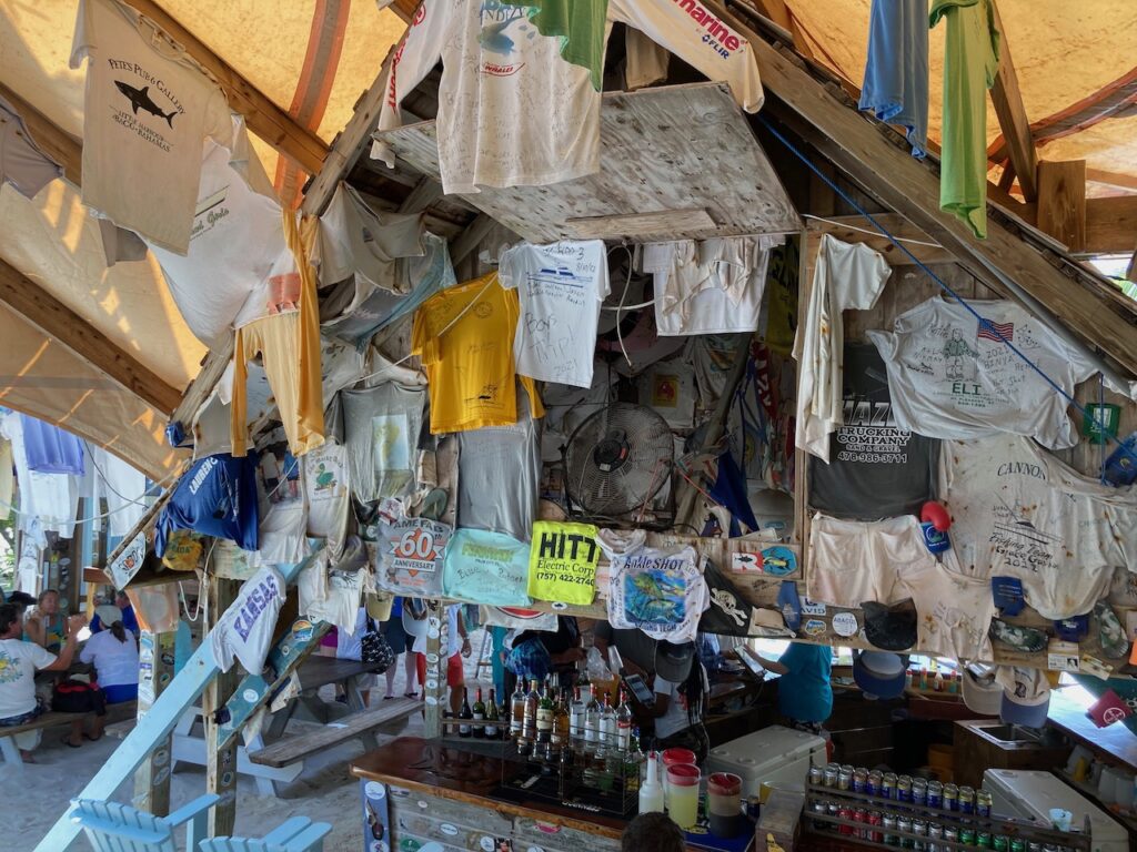
Pete of the foundry fame also lends his name to the beach bar – Pete’s Pub. 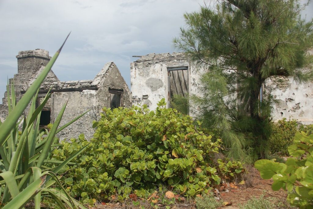
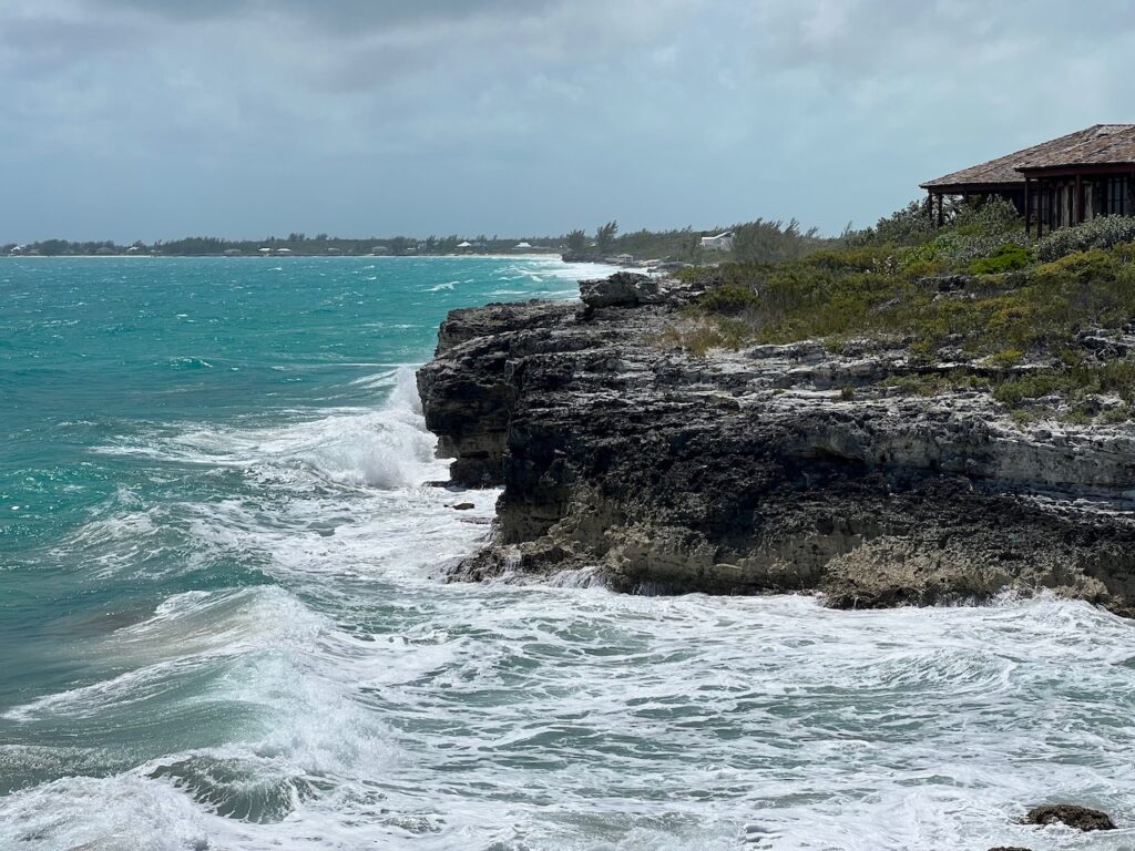
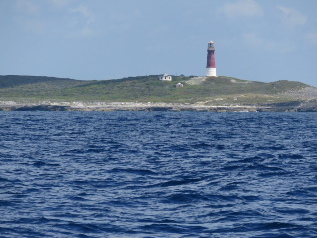
The Little Harbour lighthouse once stood sentinal to guide mariners through the rocky shoals which form the harbor entrance. Today it is an easy hike to a sweeping view of both the Sea of Abaco and the Atlantic.
- My Bahamas
If you look at a map of the Abacos you will see why this archipelago is my idea of the Bahamas… Two large islands protected by a string of barrier cays, all of which are less than a half a day’s sail from one another. And we have been sailing, too, with nice winds and generally calm seas. We ping-ponged northward between Great Abaco Island & the barrier cays and are now waiting for our chance to get through the Whale Cut to the northern Abacos.
Tilloo Bank and Cay
Our first anchorage after leaving Little Harbour… Tilloo Bank is a large, shallow bank where the locals come and beach their boats to “tailgate”. There is a single habitable house on the cay, all the rest still badly damaged from the hurricane. Tilloo Bank sits on the edge of the Pelican Cays Land and Sea Park so we returned here after visiting Sandy Cay. Sandy Cay may have the famous “coral garden” and may be one of the best spots for snorkeling but it is not a comfortable anchorage…
The locals’ beach camp. 
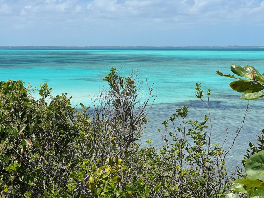
Tilloo Bank is the turquoise stripe next to Aurora. Notice how calm the water is? 
This is the other side of Tilloo Cay! You will see this theme with all the barrier cays; the Sea of Abaco side has had almost no swell while the Atlantic side has been roiling.
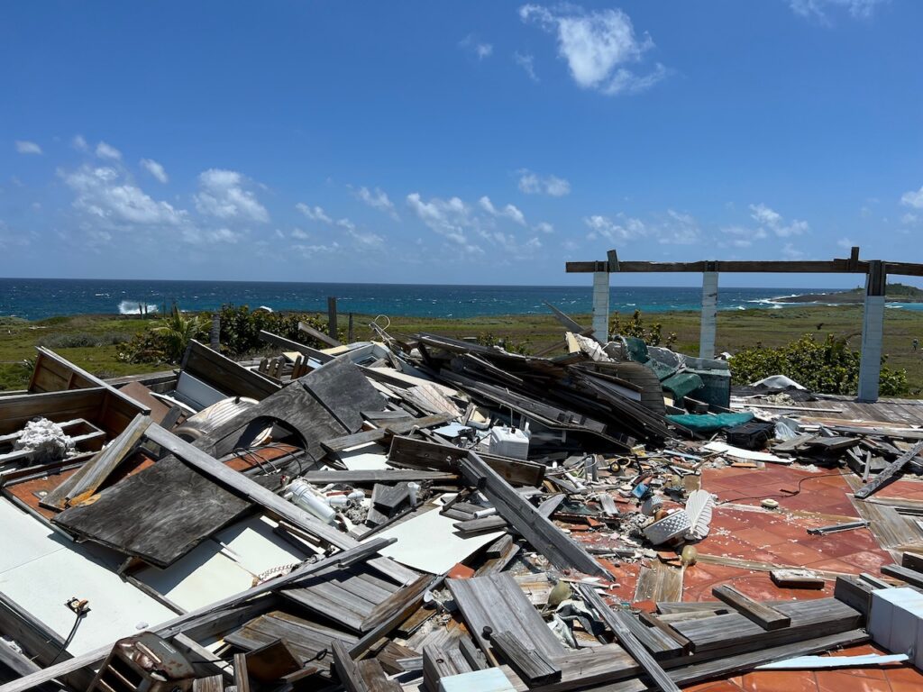
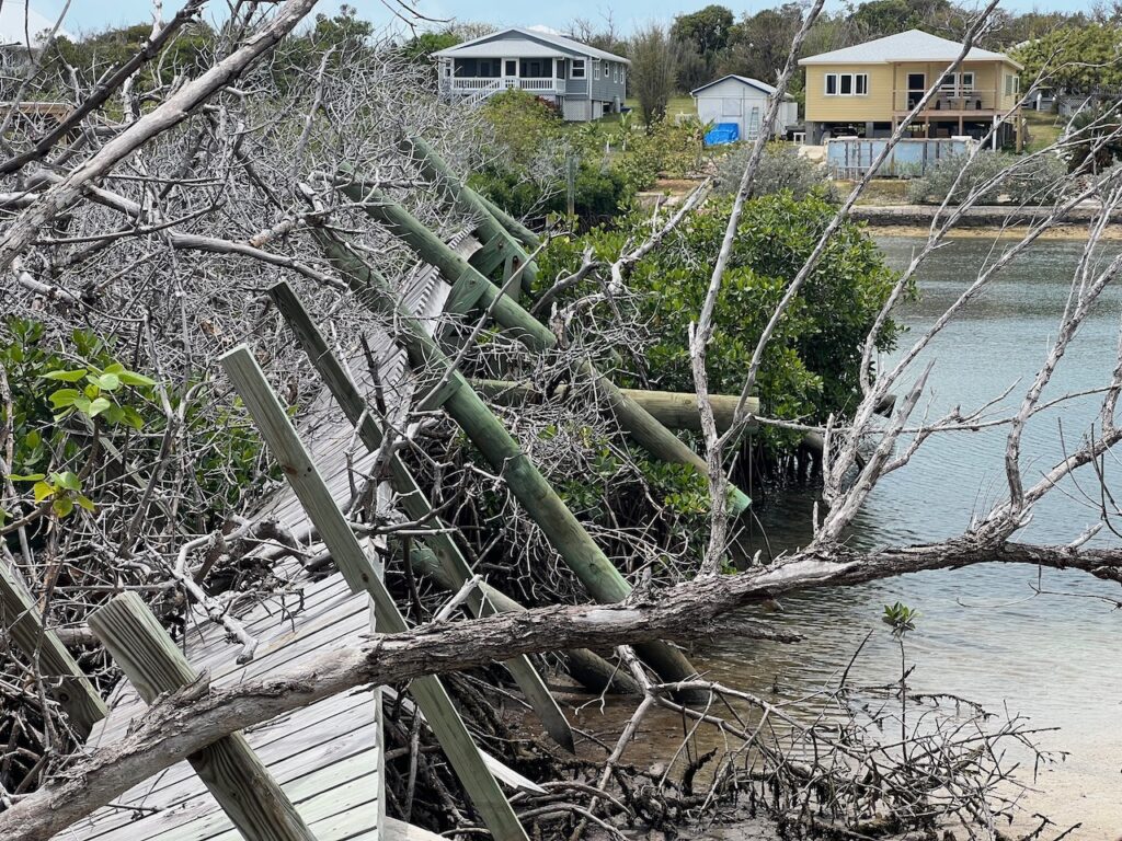
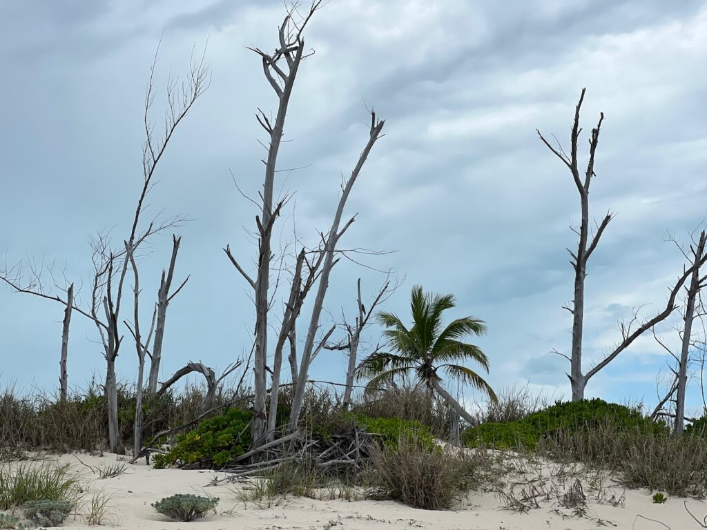
Scars from Dorian are everywhere… this would have been the view from the house in which we stood to take this photo.
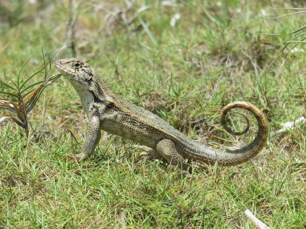
Residents of Tilloo Cay and Tilloo Bank
Doing our part to clean the beach, we decided to add it to the locals’ camp. 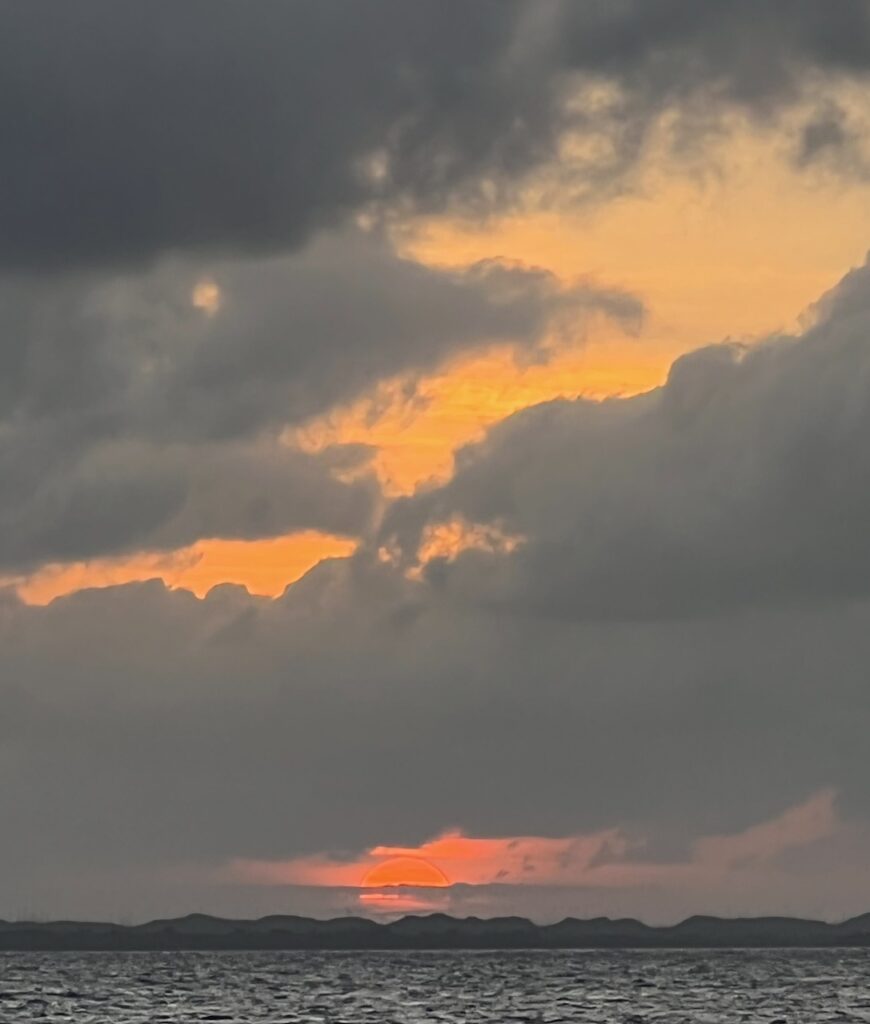
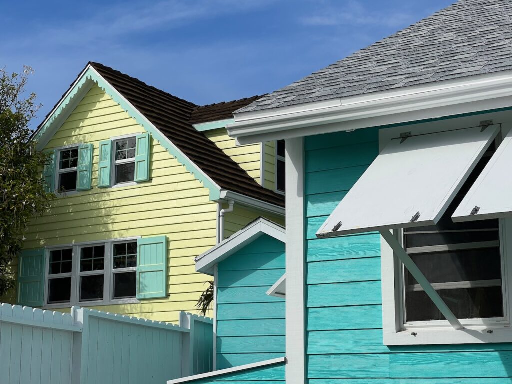
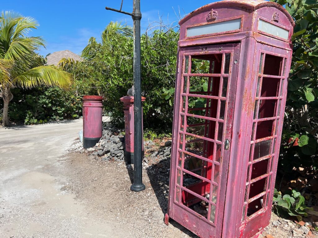
Elbow Cay and Hope Town
Did someone move Oaks Bluff or Edgartown to the Bahamas while we have been gone??? Aside from the hurricane damage, you could be confused about where you are…
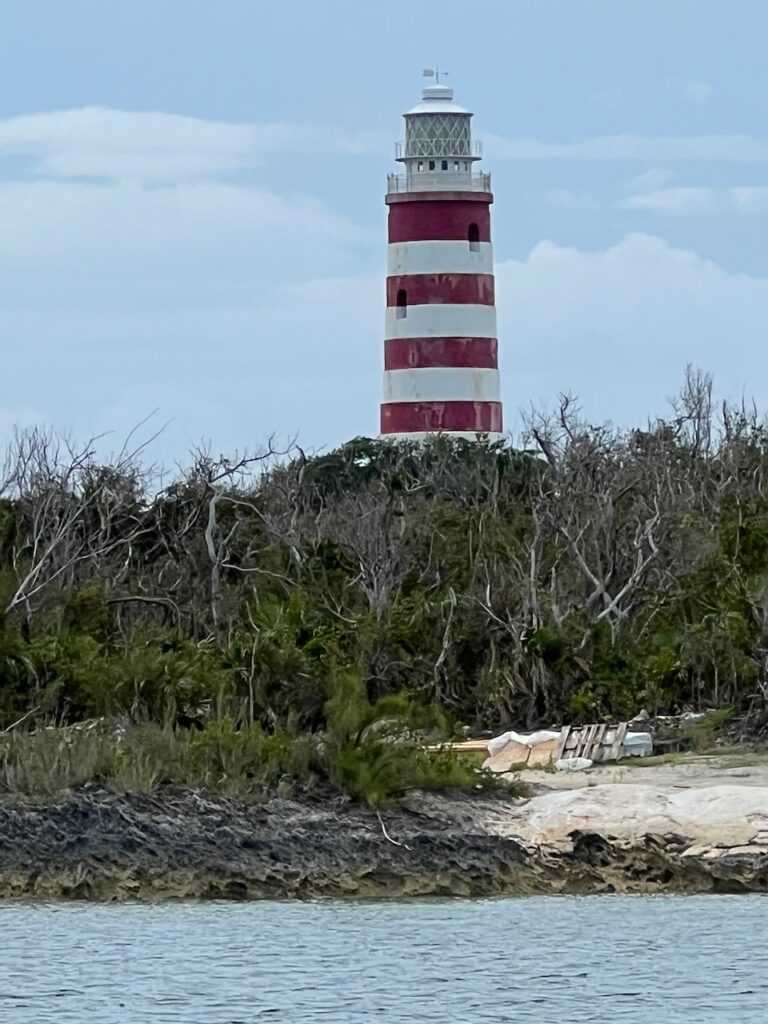
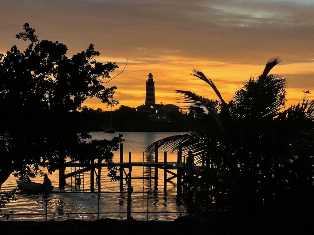
Hope Town is home of the Elbow Reef Lighthouse – the only kerosene lighthouse still operational and not electrified. 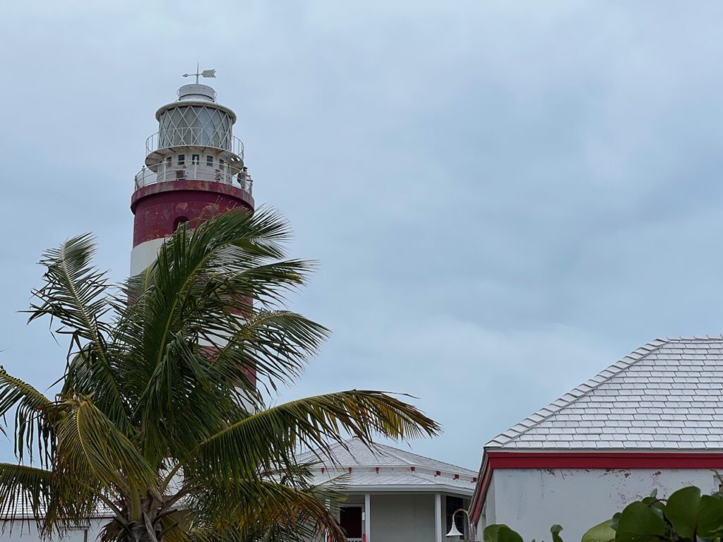
The lighthouse was badly damaged in the hurricane but is being restored with support from the Elbow Reef Lighthouse Society. https://www.elbowreeflighthousesociety.com 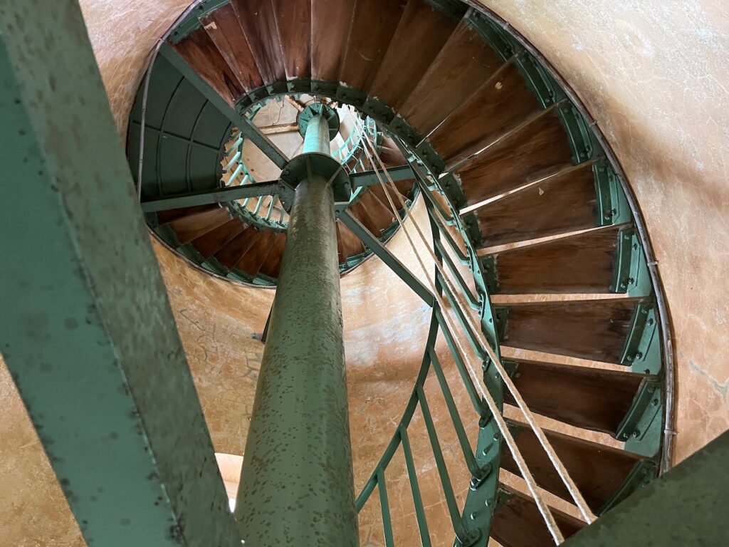
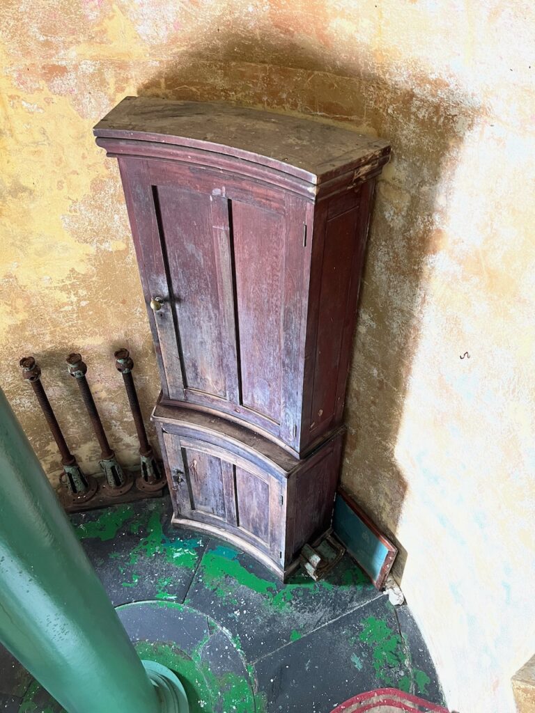
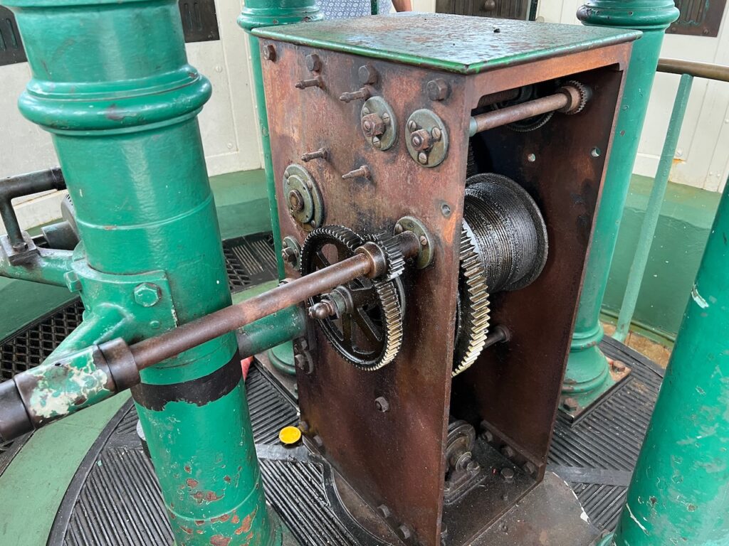
Kerosene is burned to create the light and the lens rotation is achieved by hand-cranking a weight up the tower, every evening. The actual lens of the lighthouse floats in a bed of mercury!
Hope Town Harbour and the Atlantic from the lighthouse 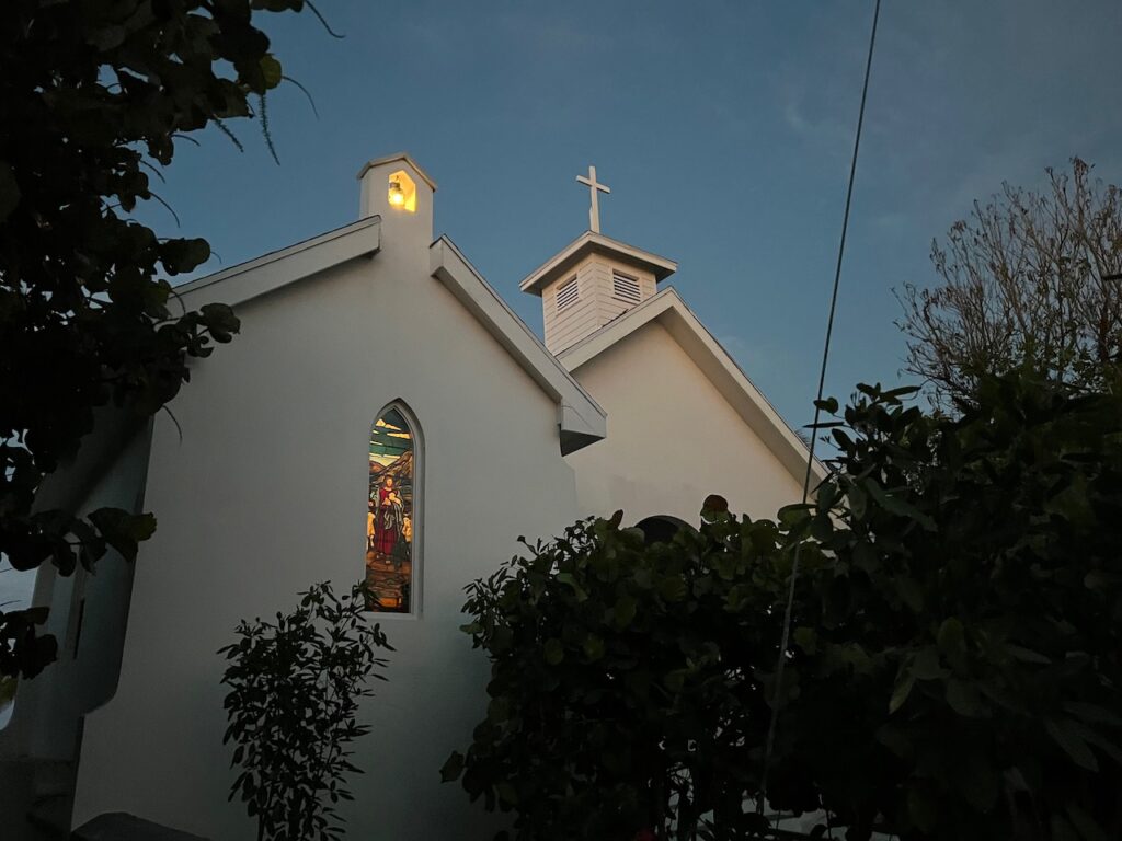
Hope Town is much further along than Marsh Harbour in erasing the traces of Dorian but not quite finished… Most of the rental properties seem to have been full, both restaurants were open and the grocery store had full shelves and fresh baked goods every day.
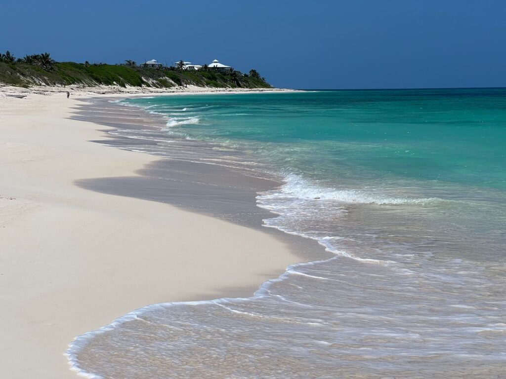
Spectacular White Sound Beach on the Atlantic side of Elbow Cay; the ocean laid down for Mother’s Day and we finally got to swim in the Atlantic.
Black Point Cay
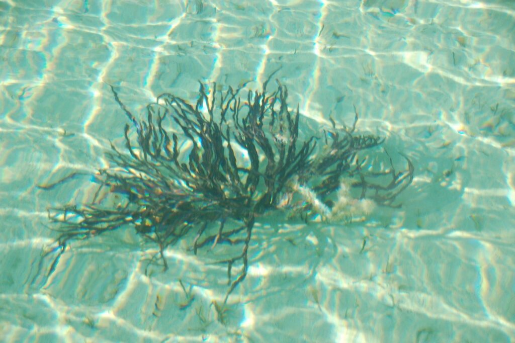
We anchored at Black Point Cay after another visit to Sandy Cay. Black Point is on the Great Abaco Island side of the bight. No signs of habitation here yet but still crystal waters and interesting coral formations in the little bay.

Man O’War Cay
Man O’ War (MOW to the locals) was once the boat building heart of the Bahamas and it is still home to Albury Brothers, a boat building dynasty. We were fortunate to have spent an hour or so with the proprietess of the local cafe who manages the little MOW museum and serves delectable mulberry turnovers. She confirmed our perceptions of MOW; it is a tight, residential community, insulated from the tourism upon which the other cays rely.


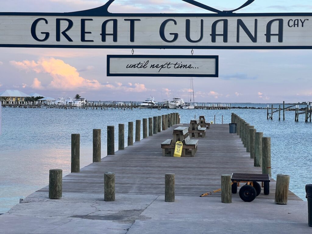
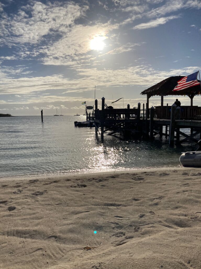
Great Guana Cay
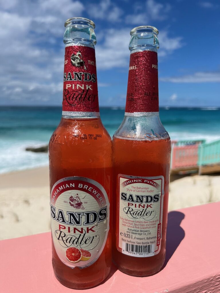
Great Guana’s claim to fame are the beach bars – Grabber’s and Nipper’s, both of which we visited. Of the two, Nipper’s had the better location with the Atlantic beach… and the radler.
Grabber’s on the harbor side… 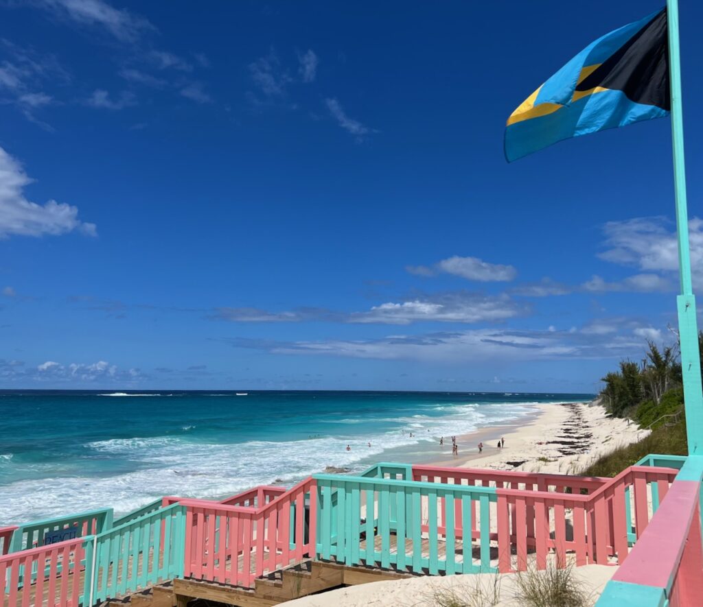
Nipper’s on the Altantic. 
Our Bahamas … - The Northern Abacos
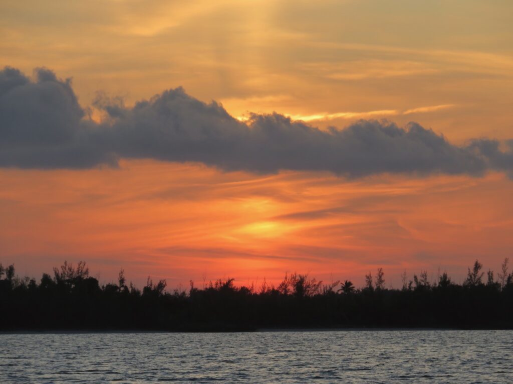
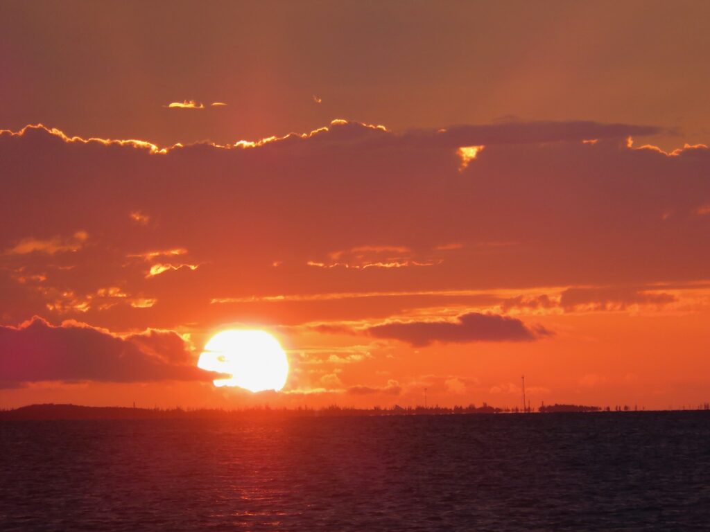
Here, finally, are the unspoiled Out Islands of my, largely inaccurately, “imagined Bahamas”. This string of cays also marks our path to West End, Grand Bahama Island, the end of our Bahamas adventure. We already miss the sunsets over the water…
Treasure Cay
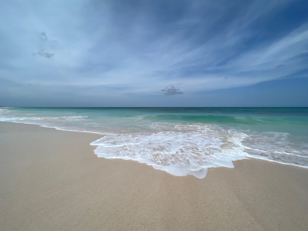
Probably not accurate to call Treasure Cay an Out Island, as it is connected to Grand Abaco Island; the anchorage reminded us of Marco Island, FL. The magnificent beach was deserted though and we only saw a few others for the two days we were there.
Green Turtle Cay
As the crow flies, the distance between Treasure Cay and Green Turtle is about 6nm. There is, however, a sand bar between the two where depths are less than 2ft. To get from one cay to the other requires a trip outside of the Bank, around Whale Cay, which adds 14nm and required us to wait for the winds from the East to calm. Damage from Hurricane Dorian was still more visible here than in Hope Town, but less than in Marsh Harbor.
Manjack Cay
We took the dinghy in search of snorkeling opportunities and wound up circumnavigating a small island called Crab Cay. We tried to watch the lunar eclipse from here but only got glimpses of it through the many clouds.
Powell Cay
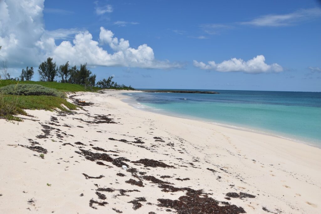
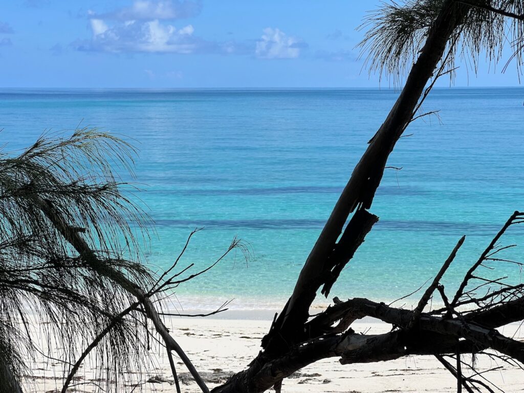
Powell Cay is our favorite of the Abacos. There are two great hikes on the cay, one to the bluff overlooking the anchorage and the other to the Atlantic side of the island. The beach here is spectacular and we spent a couple of hours enjoying it!
Allans-Pensacola Cay
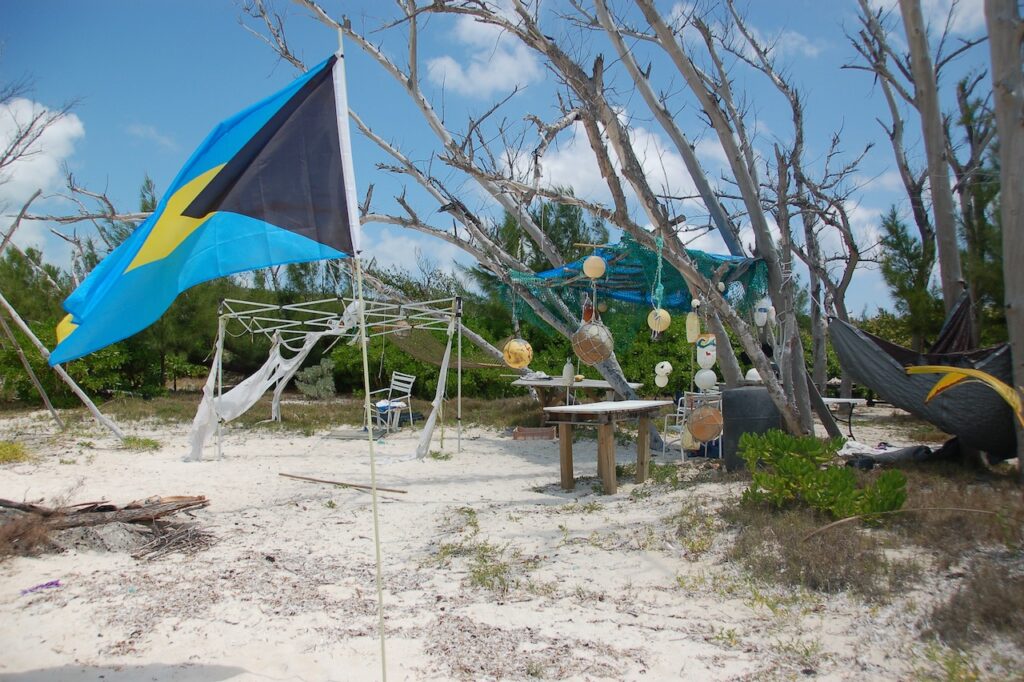
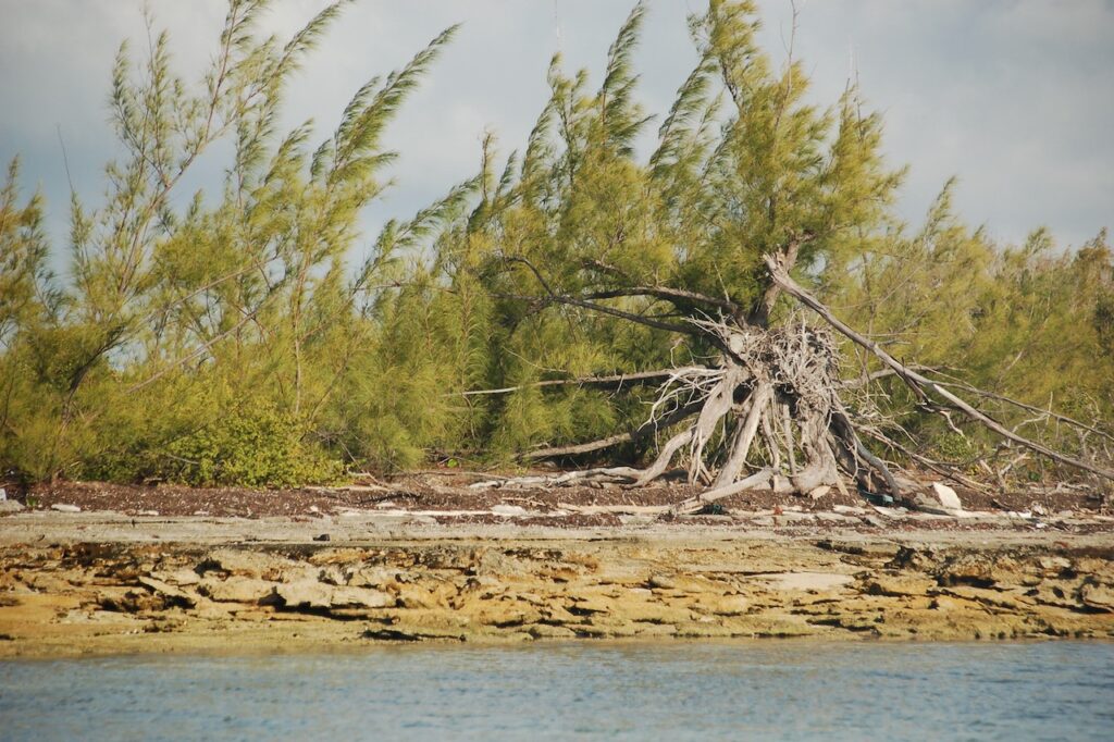
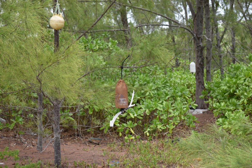
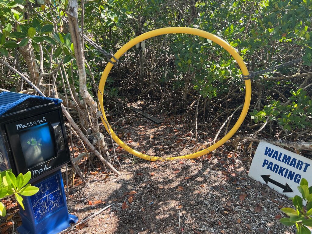
A close second as the best of the Abacos… the hike here was to what is known as the Naming Tree, where cruisers leave their mark with all sorts of flotsam and driftwood. I was sort of dismayed at the intrusion of civilization, thinking that visitors were supplying the medium, until I learned that this is beach trash, much of it floating from Haiti after storms.
The path to the Naming Tree is well marked… 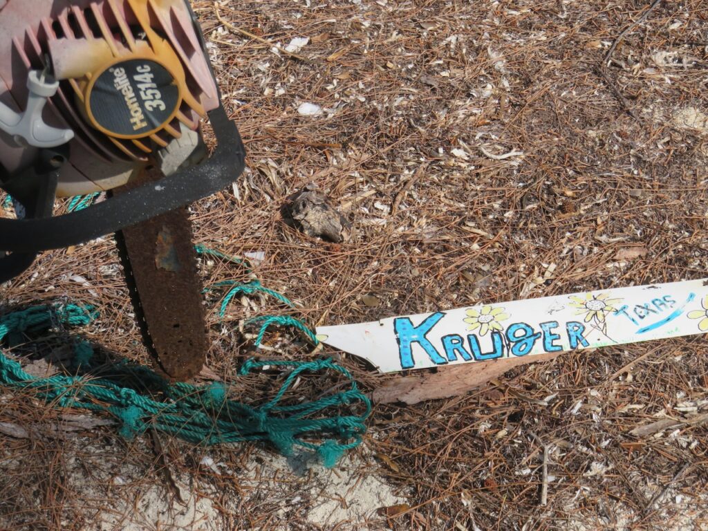
So… this probably did NOT float over from Haiti. 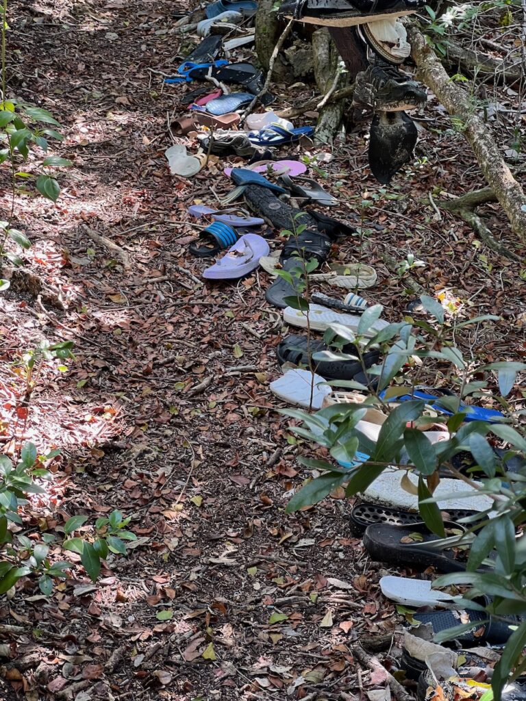
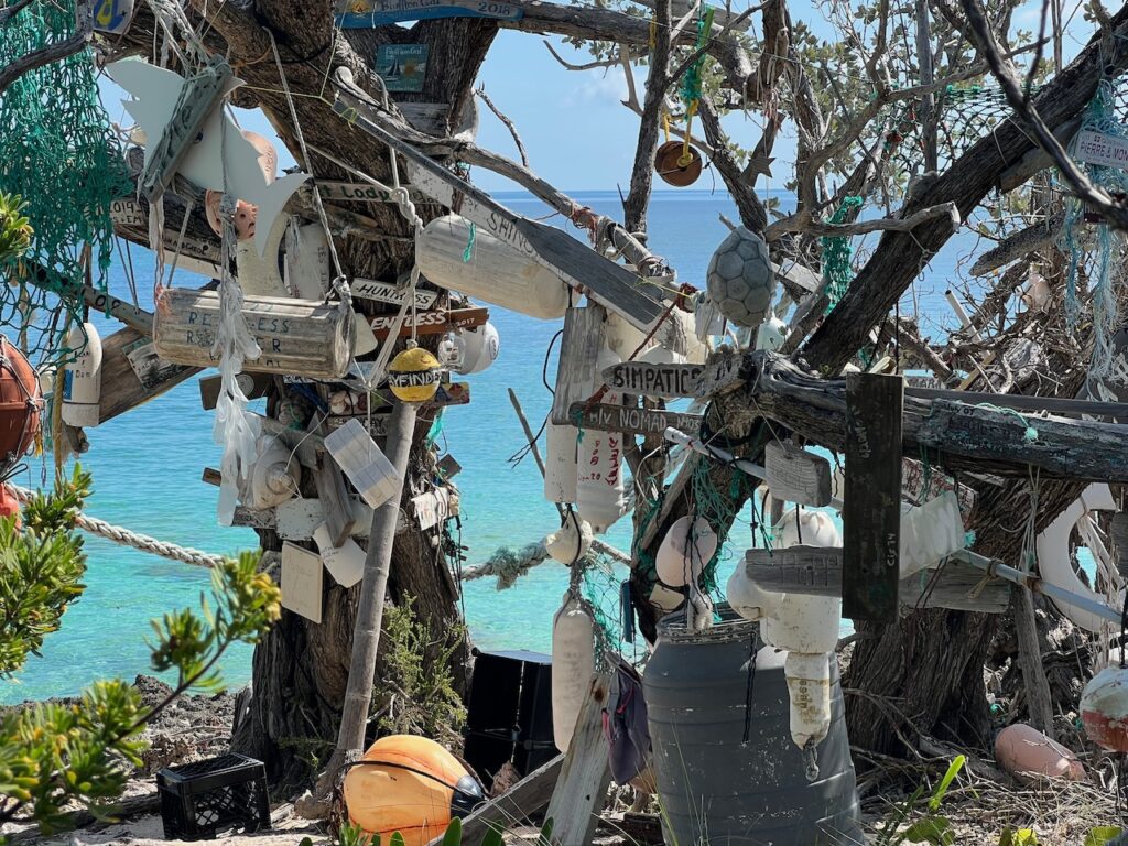
The Naming Tree also guards another beautiful beach. Double-Breasted Cay
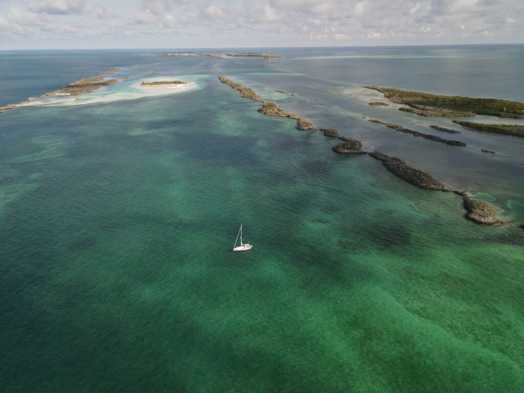
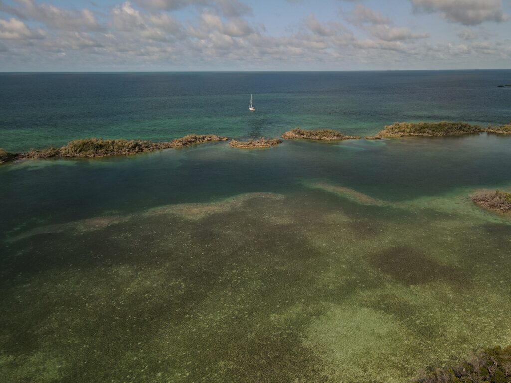
This cay turned out to be much more exposed to the prevailing wind so we were not able to go ashore. After carrying the drone through the Bahamas, it earned its keep this day.
West End, Grand Bahama Island
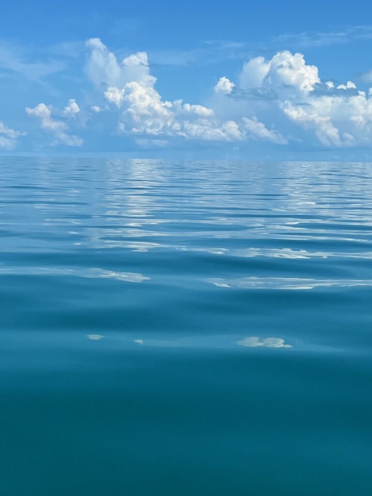
Remember this picture… Our trip to West End was the longest sailing day since the end of April; it felt like it, too. There was NO wind for most of the journey… 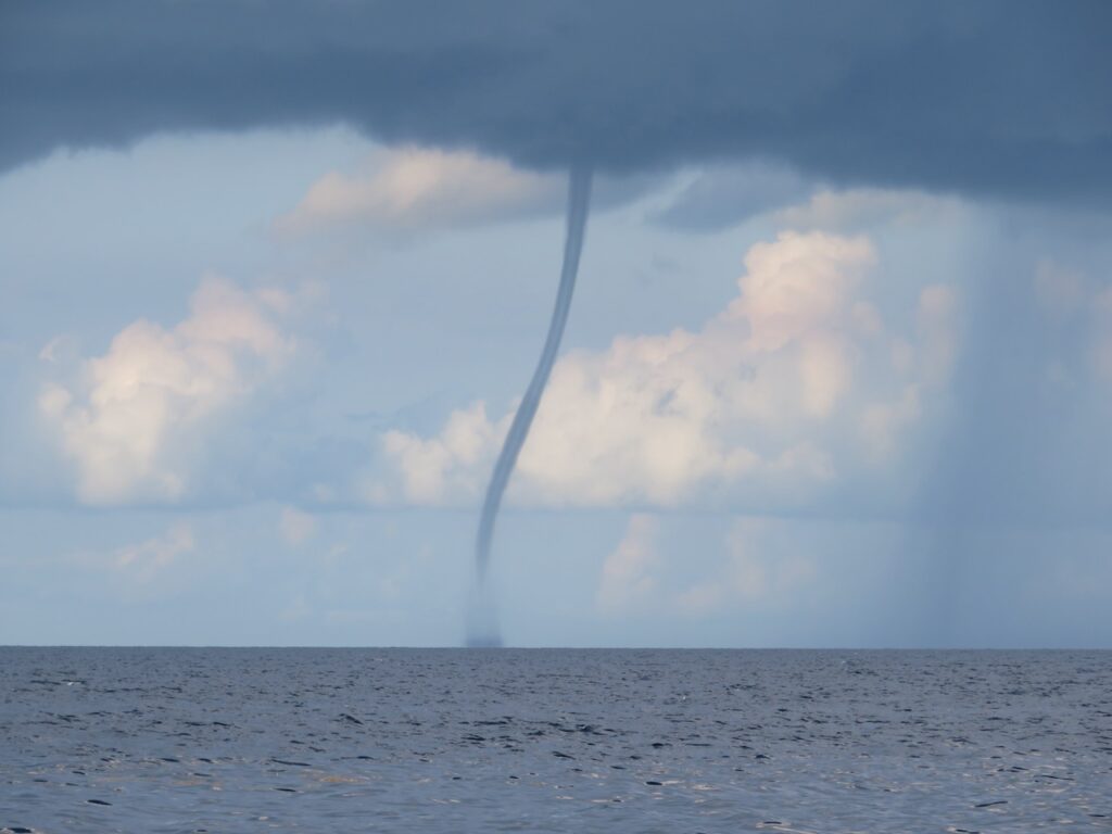
… until this waterspout chased us off the Bahama Bank. 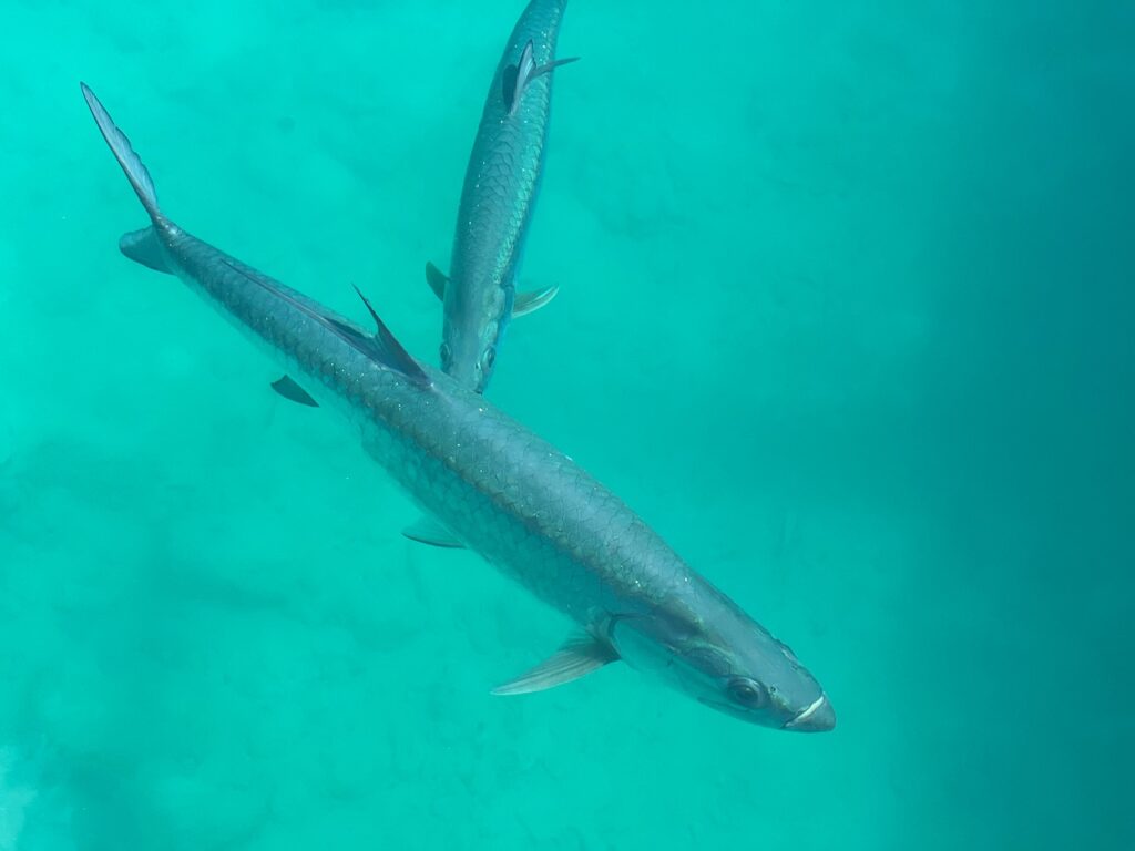
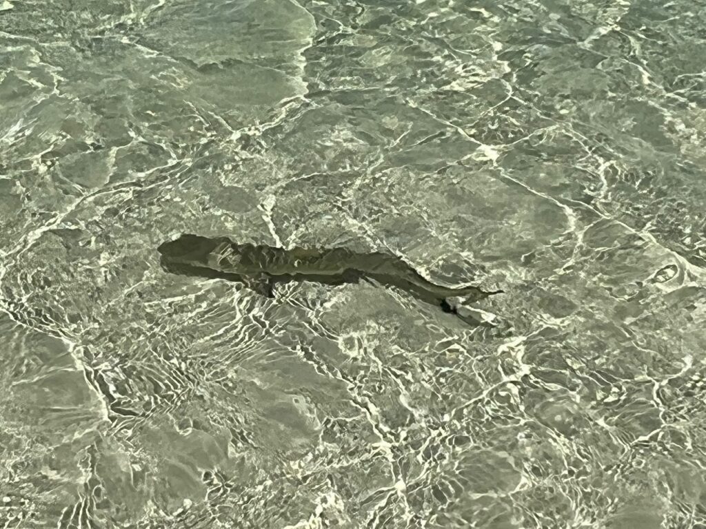
West End Tarpons 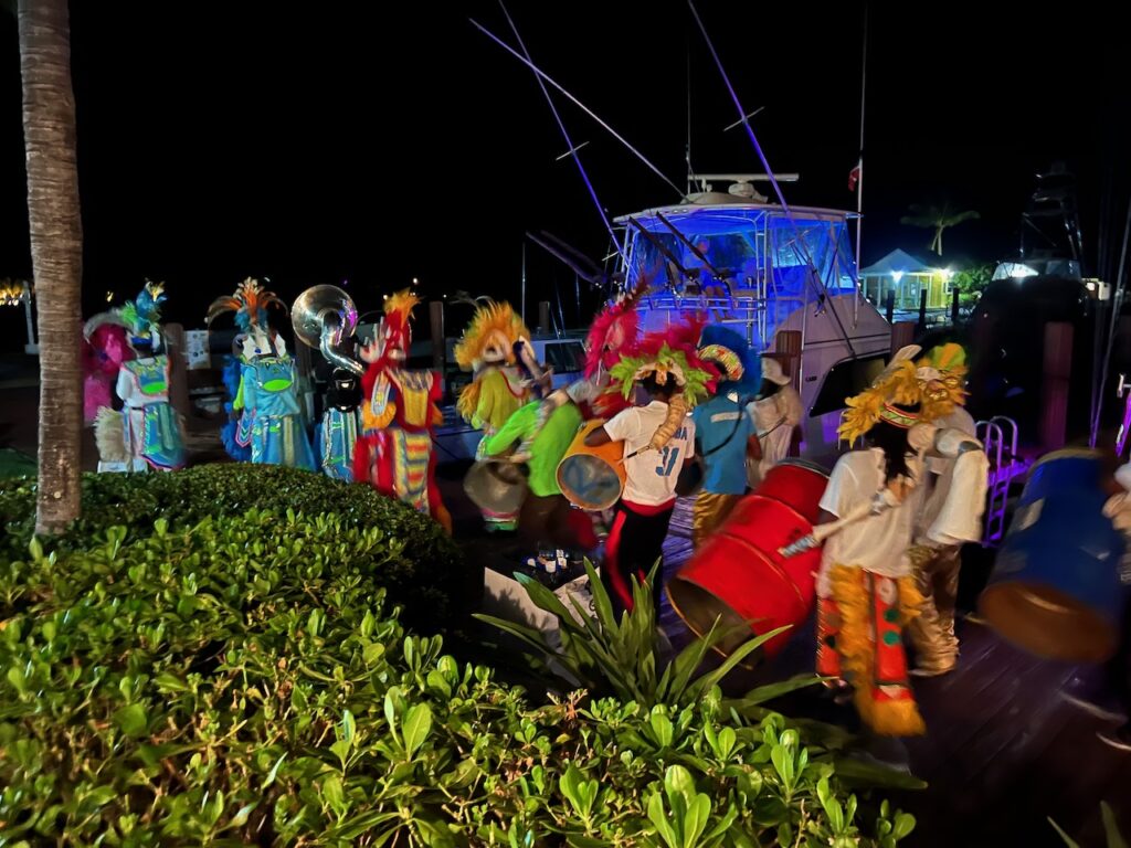
A Junkanoo parade to celebrate a wedding at West End. 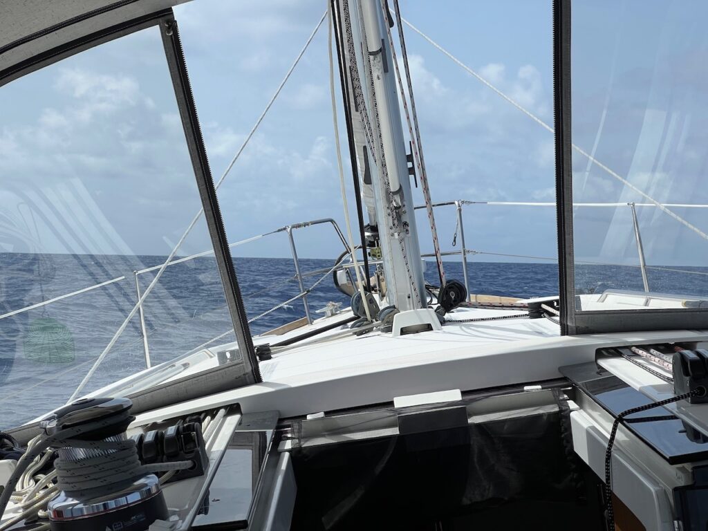
It is impossible to accurately capture rough water when underway so you will need to surmise from the angle of the bow to the horizon that it was rough, indeed. And, unfortunately, this picture was taken during our 242nm journey from West End to St Augustine, Florida… we were wishing we were back on the well protected Abaco Bank for much of this trip.😵💫