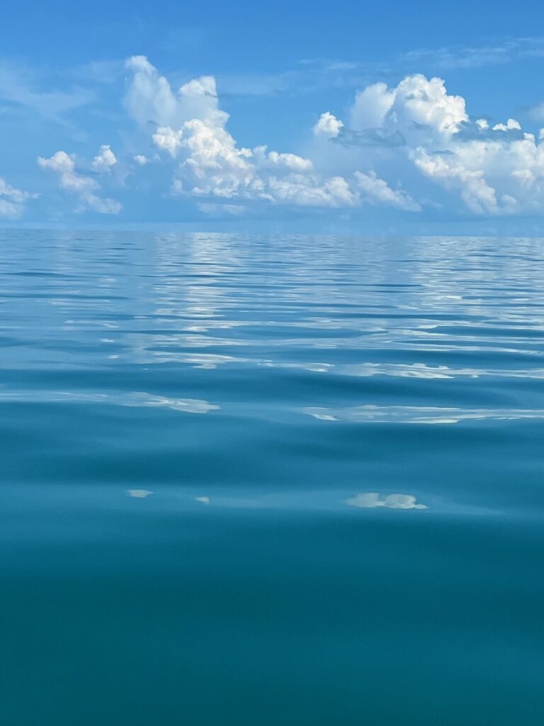
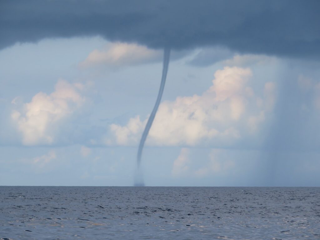
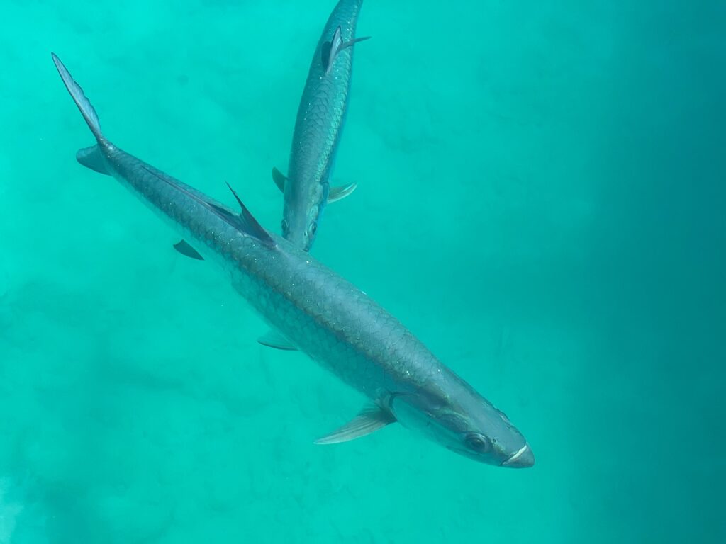
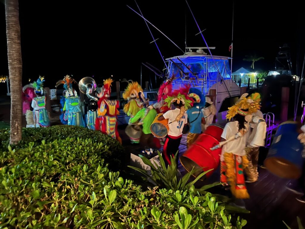
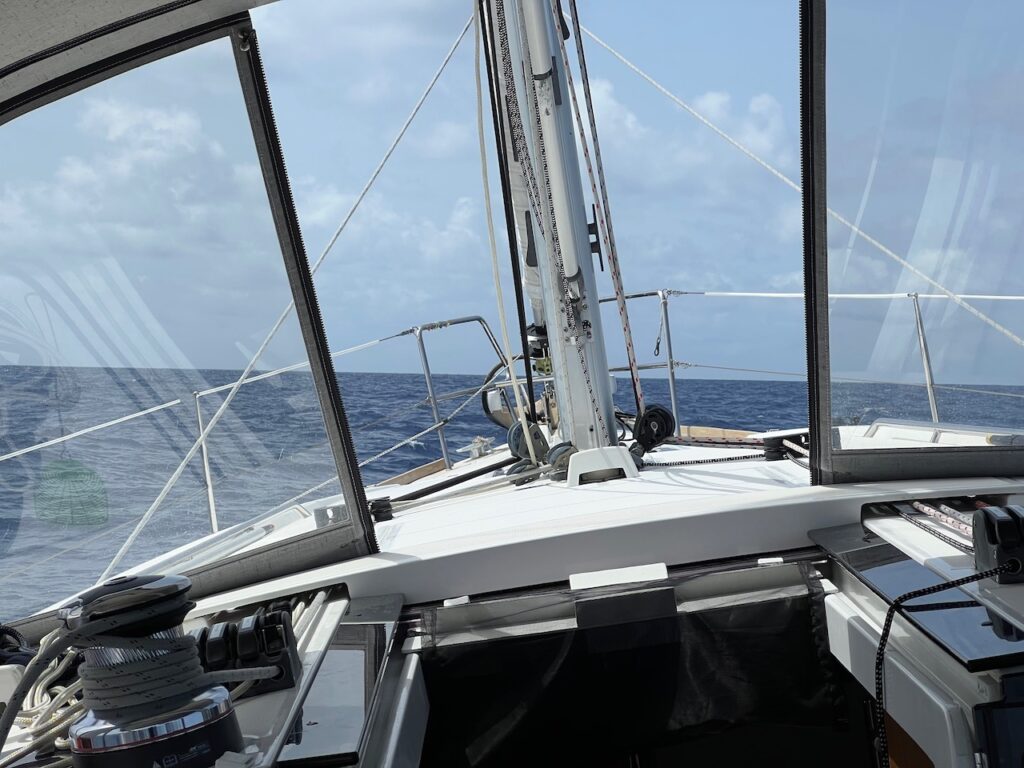
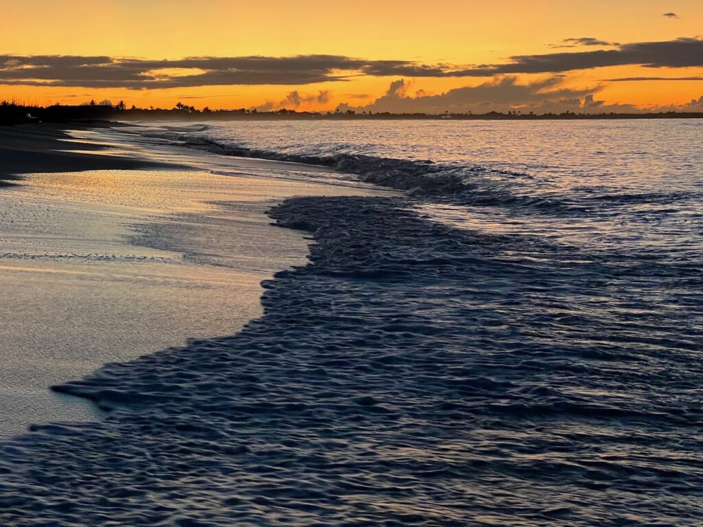
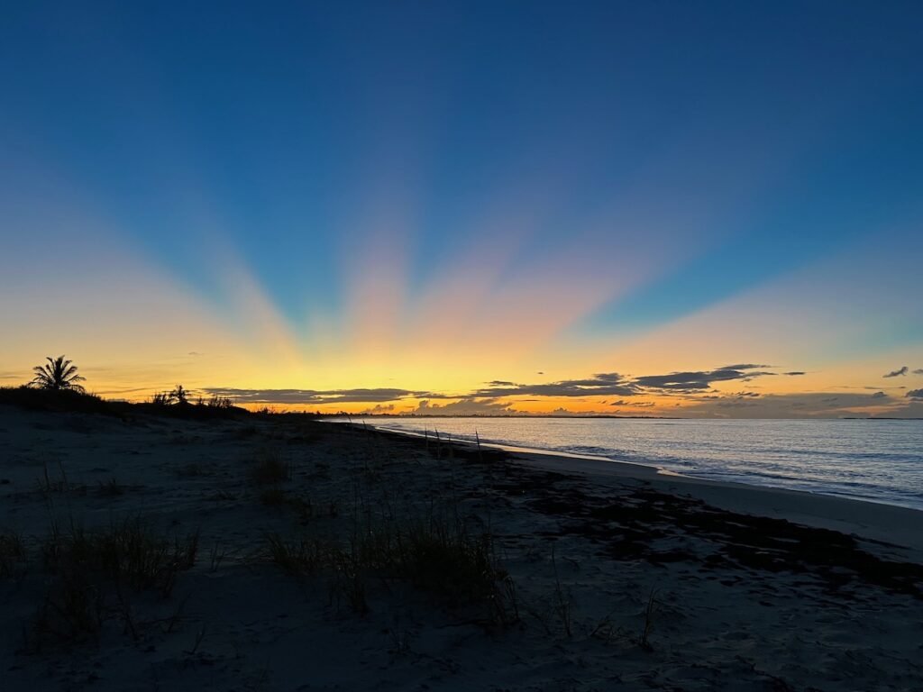
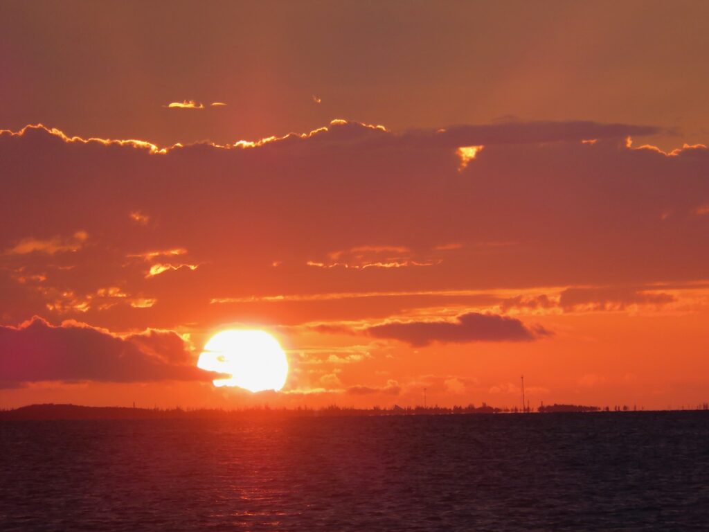
Here, finally, are the unspoiled Out Islands of my, largely inaccurately, “imagined Bahamas”. This string of cays also marks our path to West End, Grand Bahama Island, the end of our Bahamas adventure. We already miss the sunsets over the water…
Treasure Cay
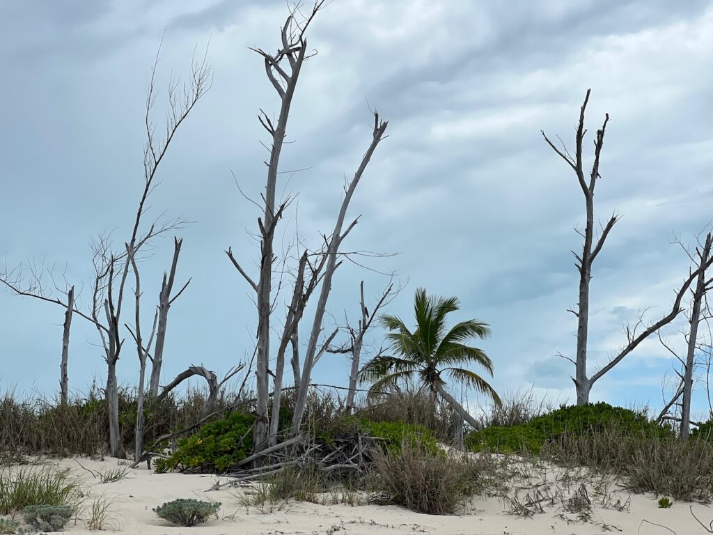
Probably not accurate to call Treasure Cay an Out Island, as it is connected to Grand Abaco Island; the anchorage reminded us of Marco Island, FL. The magnificent beach was deserted though and we only saw a few others for the two days we were there.
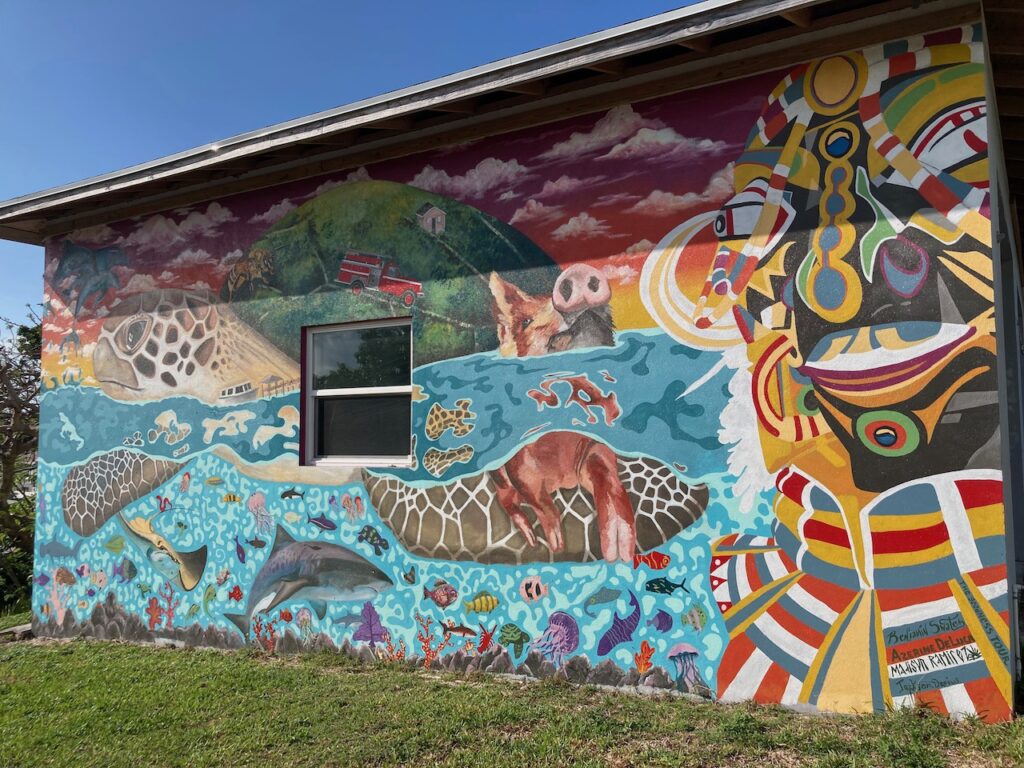
Green Turtle Cay
As the crow flies, the distance between Treasure Cay and Green Turtle is about 6nm. There is, however, a sand bar between the two where depths are less than 2ft. To get from one cay to the other requires a trip outside of the Bank, around Whale Cay, which adds 14nm and required us to wait for the winds from the East to calm. Damage from Hurricane Dorian was still more visible here than in Hope Town, but less than in Marsh Harbor.
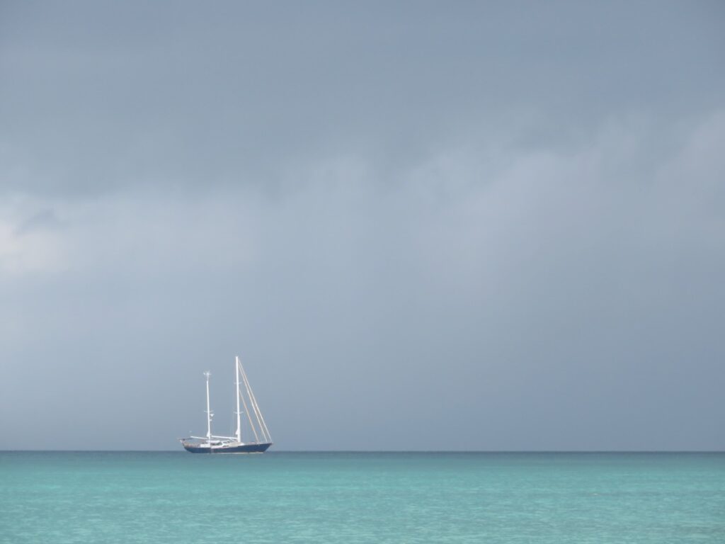
Manjack Cay
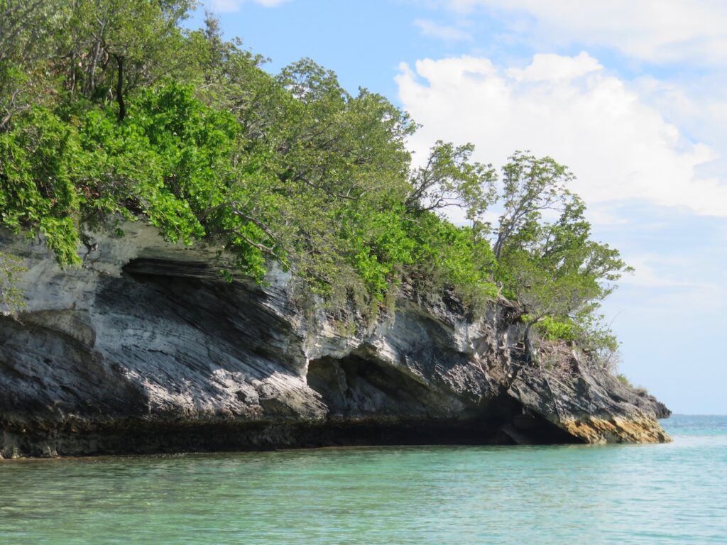
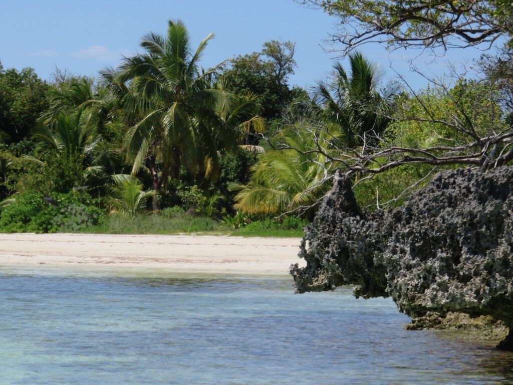
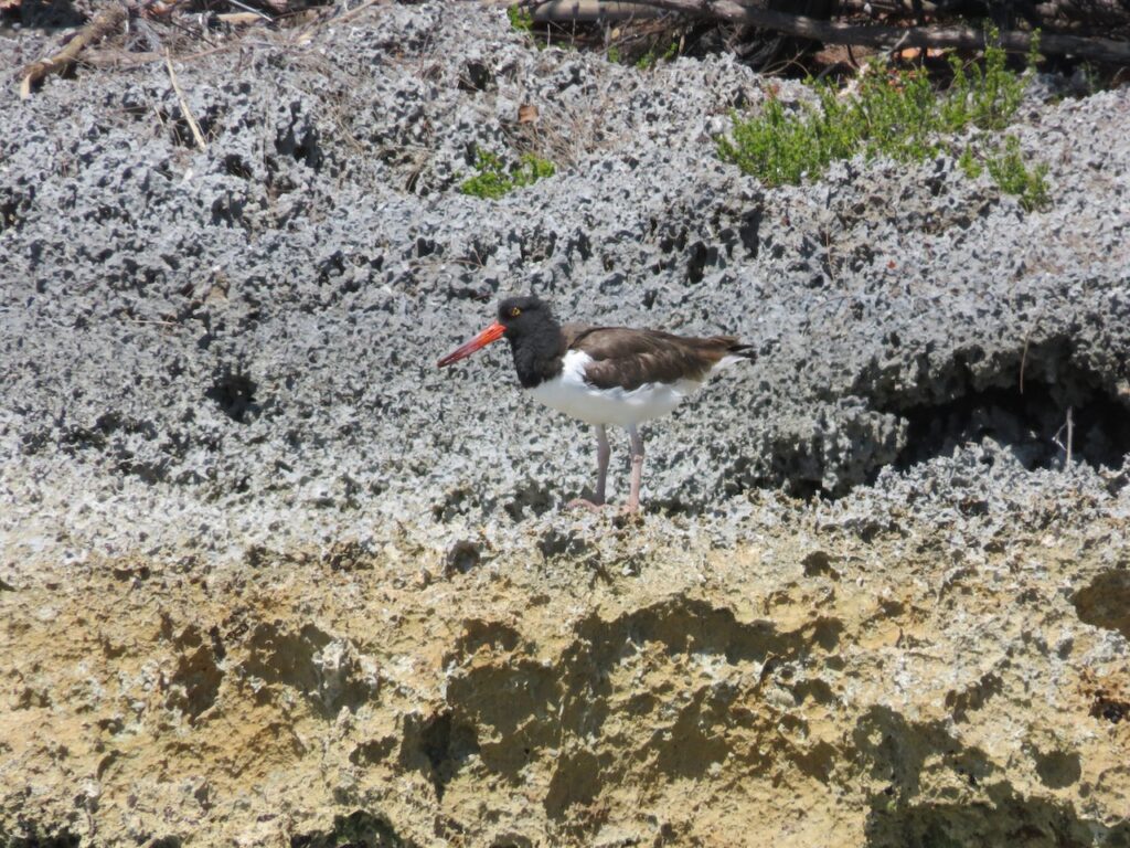
We took the dinghy in search of snorkeling opportunities and wound up circumnavigating a small island called Crab Cay. We tried to watch the lunar eclipse from here but only got glimpses of it through the many clouds.
Powell Cay
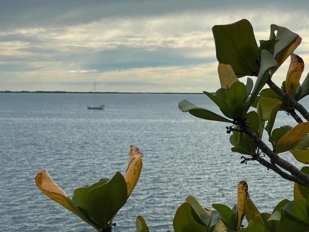
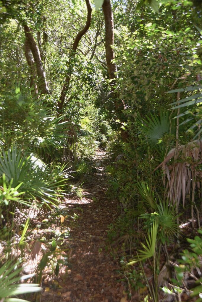
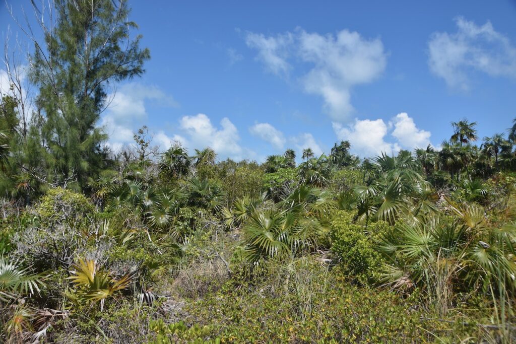
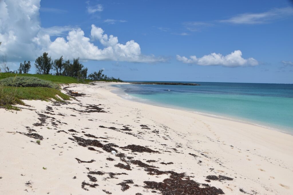
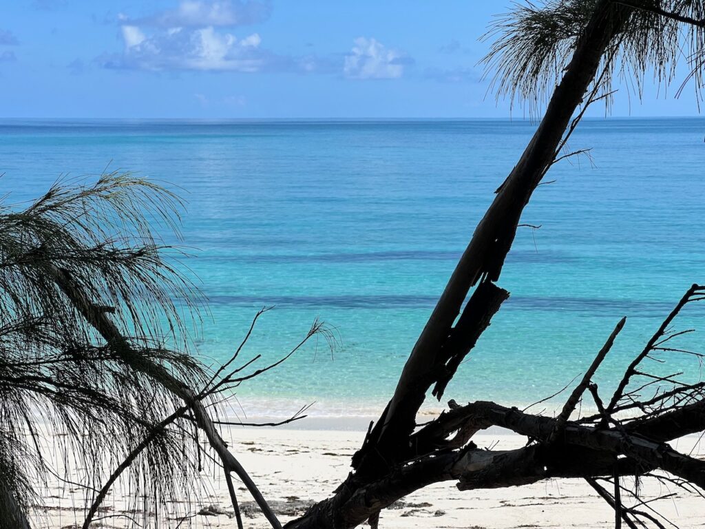
Powell Cay is our favorite of the Abacos. There are two great hikes on the cay, one to the bluff overlooking the anchorage and the other to the Atlantic side of the island. The beach here is spectacular and we spent a couple of hours enjoying it!
Allans-Pensacola Cay
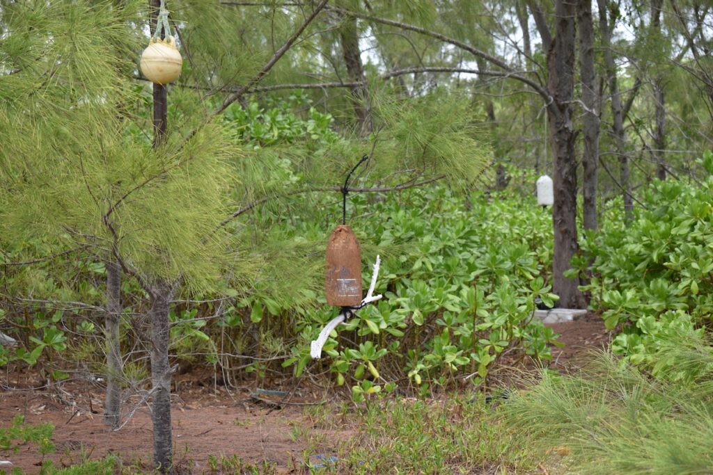
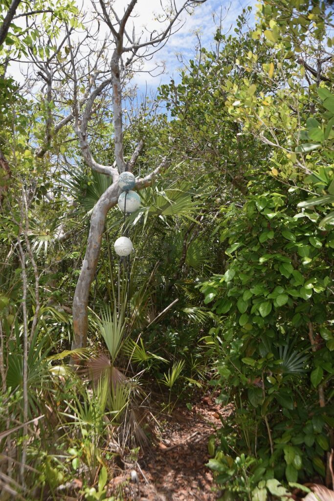
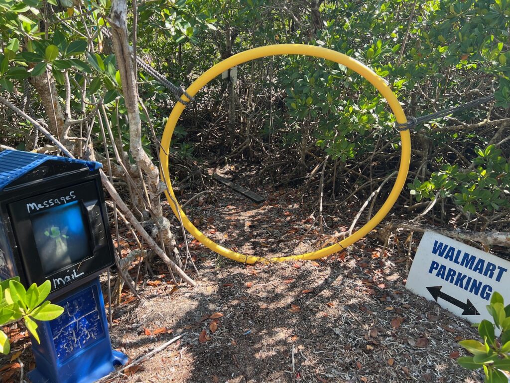
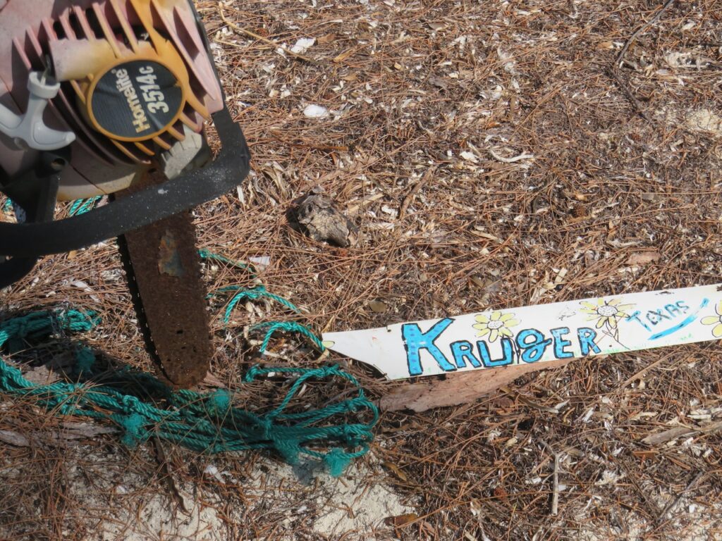
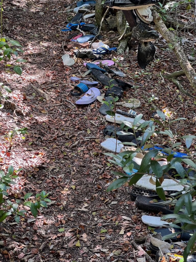
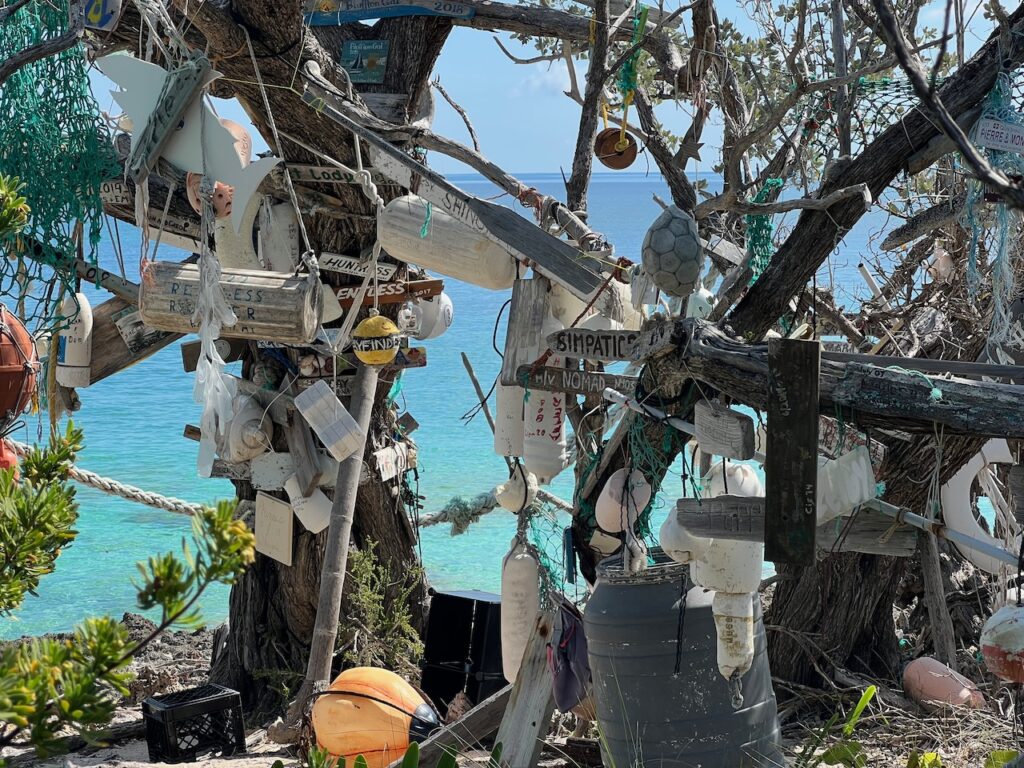
A close second as the best of the Abacos… the hike here was to what is known as the Naming Tree, where cruisers leave their mark with all sorts of flotsam and driftwood. I was sort of dismayed at the intrusion of civilization, thinking that visitors were supplying the medium, until I learned that this is beach trash, much of it floating from Haiti after storms.
Double-Breasted Cay
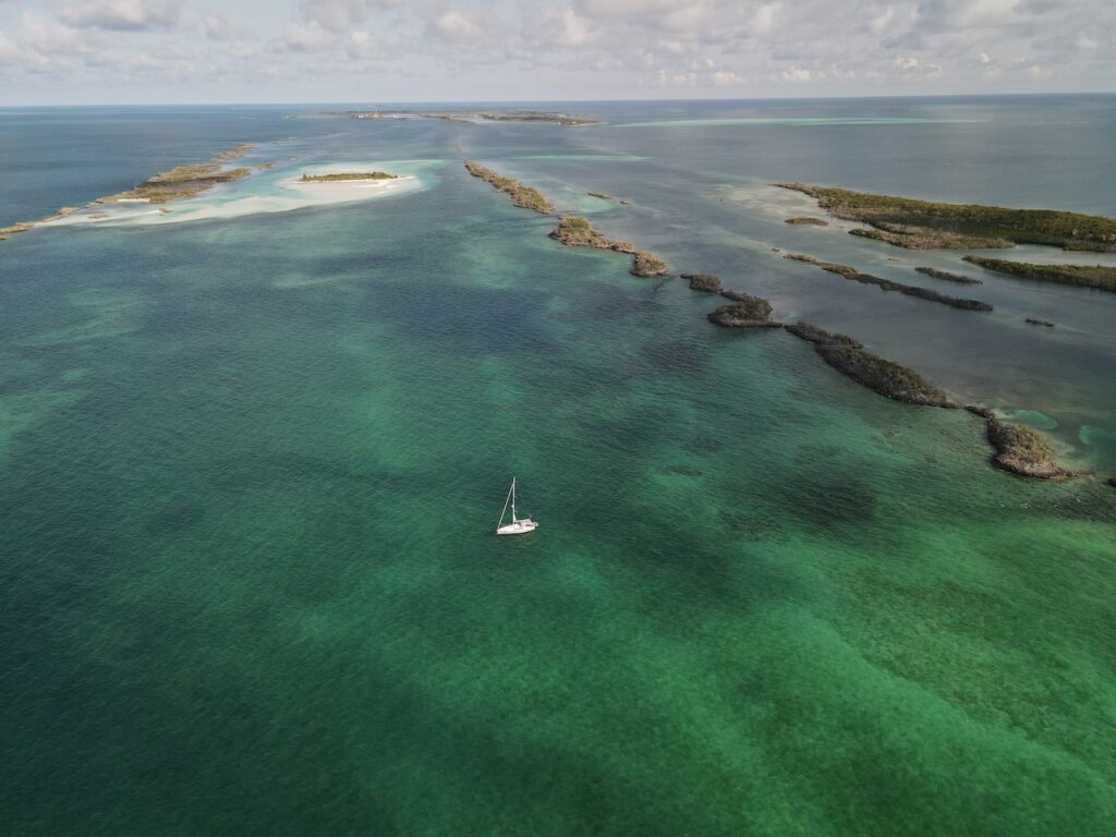
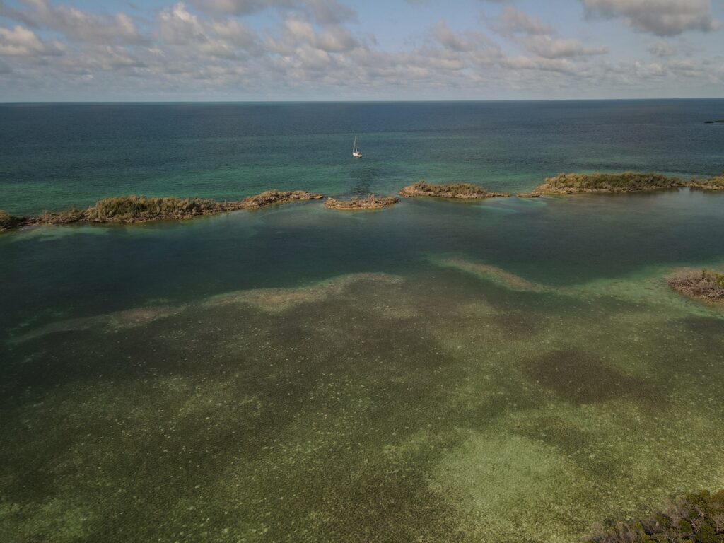
This cay turned out to be much more exposed to the prevailing wind so we were not able to go ashore. After carrying the drone through the Bahamas, it earned its keep this day.
West End, Grand Bahama Island
