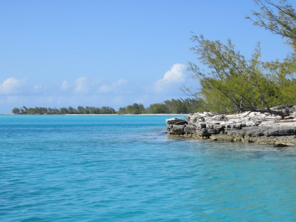
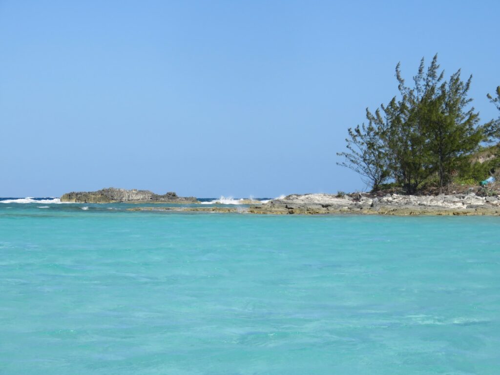
Waiting for weather (again 🙄) kept us in the Berry Islands for another 10 days. We moved from the anchorage to the marina so we could break out our bikes and explore… and, actually, happily, we came to really like Great Harbour Cay and our time spent there. The island’s history is fascinating, we met, and traded stories with, fellow travelers and discovered Great Harbour Cay’s stunning beaches.
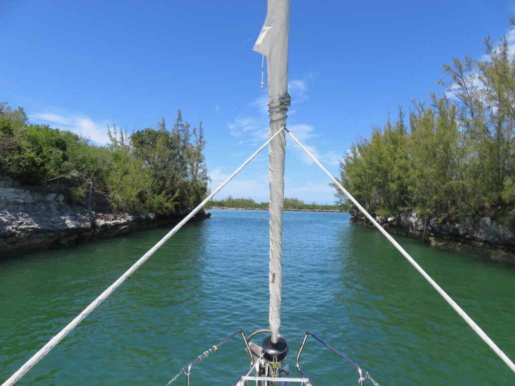
The island is only 7 miles in length and 2.5 miles wide. It runs approximately north-south between the Great Bahama Bank and the Northwest Providence Channel (open to the North Atlantic Ocean which is why we were waiting…) It is considered one of the “out islands” as commercial development is minimal and it is not easy to access except by small plane, or, of course, by boat.
Shelling Beach
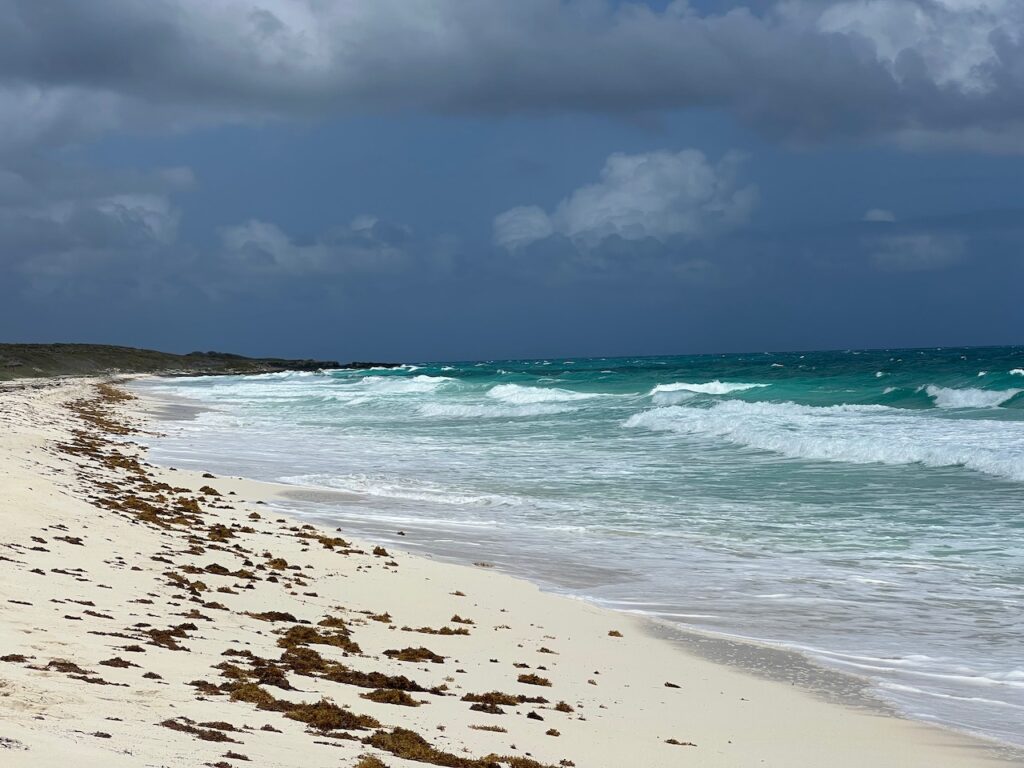
We rented a noisy, finicky golf cart to find Shelling Beach on the east side of the island. At the end of a bumpy road, through everything but beach vegetation, we ended at the peninsula with Shelling Beach on one edge and the exit from Little Shark River on the other.
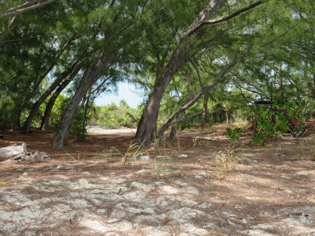
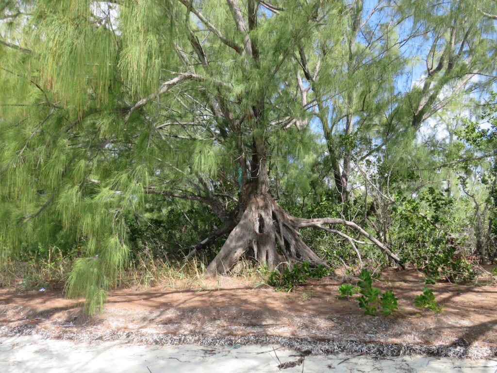
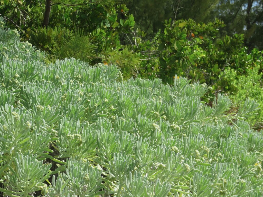
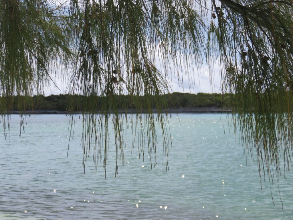
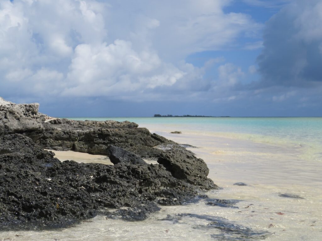
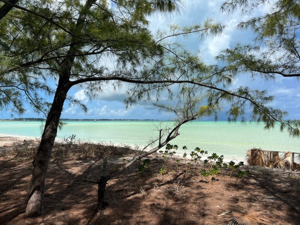
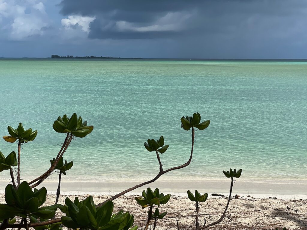
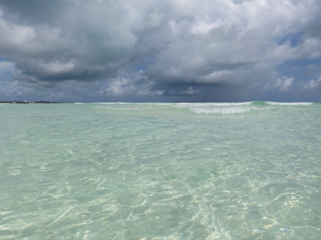
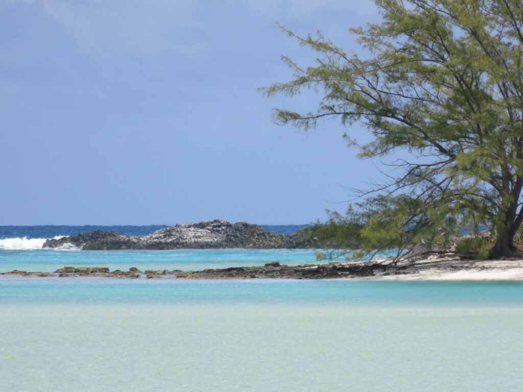
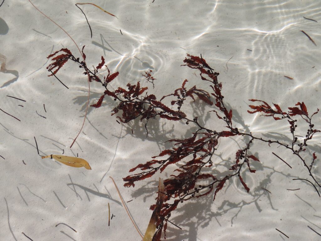
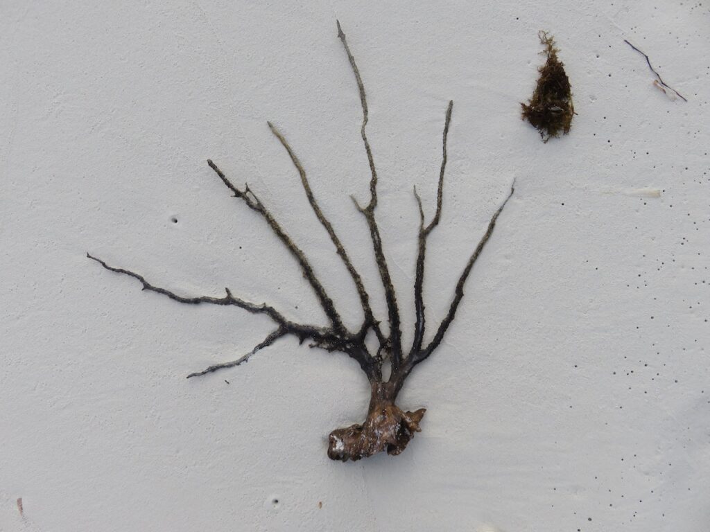
The clearest water and the whitest sand since Santa Rosa Island
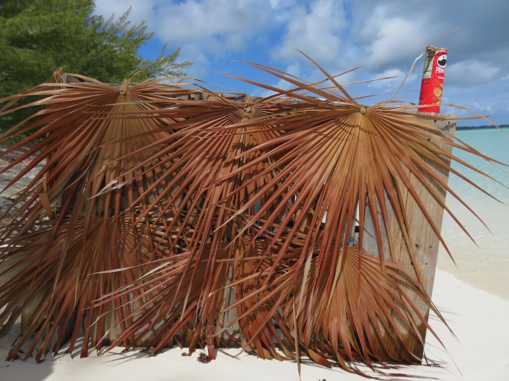
Anderson Cay Beach
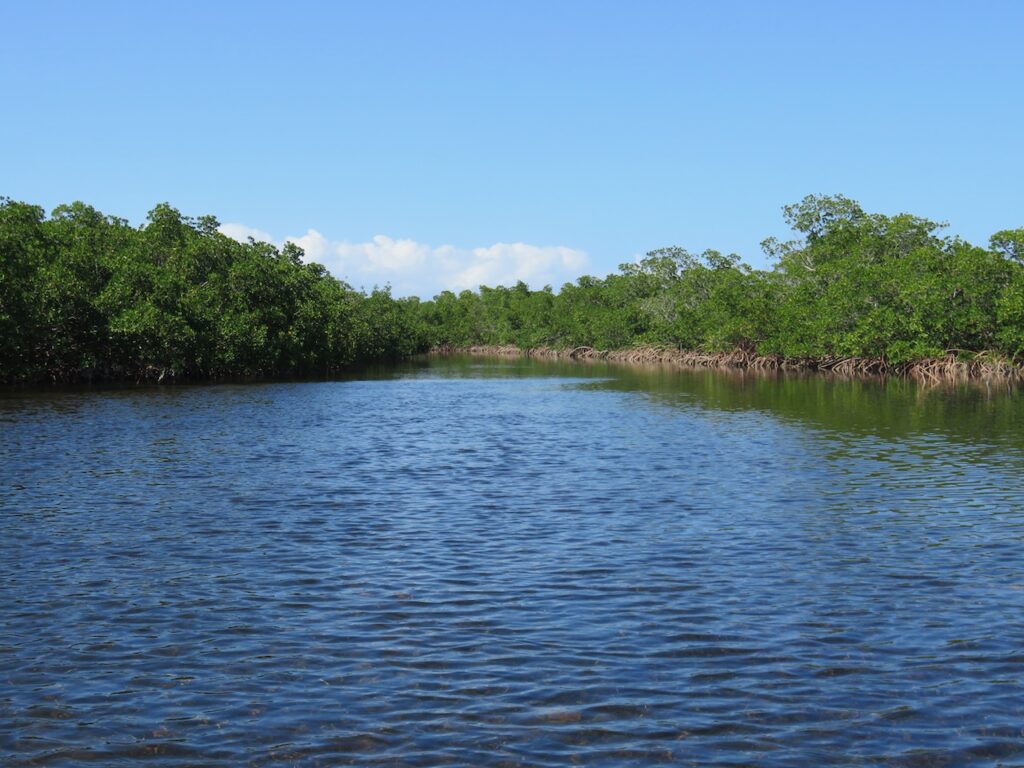
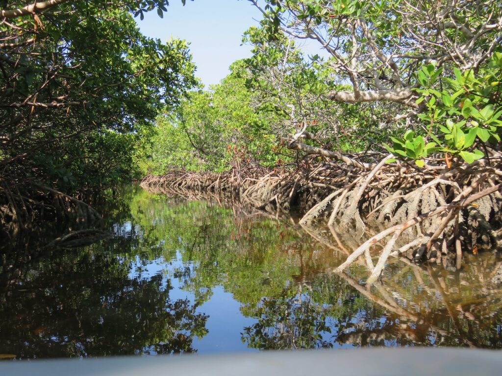
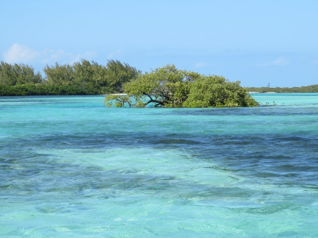
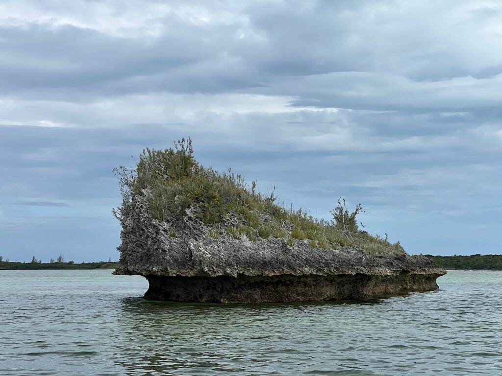
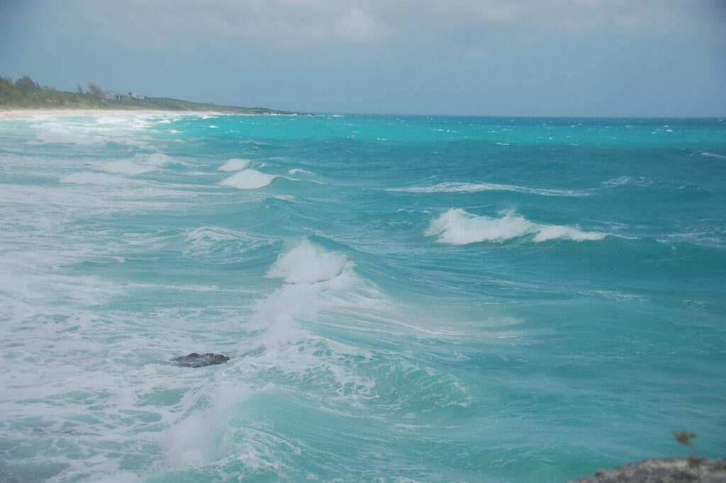
You can cut through the cays from the Great Bahama Bank to the Atlantic by traveling the Little Shark River. By dinghy. Only at high tide. We were up for the challenge and headed out the day when the east winds were too strong to do much else on that side of the island. Unfortunately, even the high tide was too low so we visited a beach on the Great Bahama Bank side of the cay.
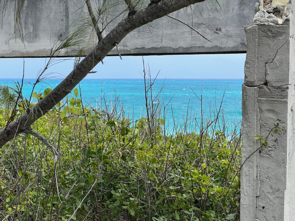
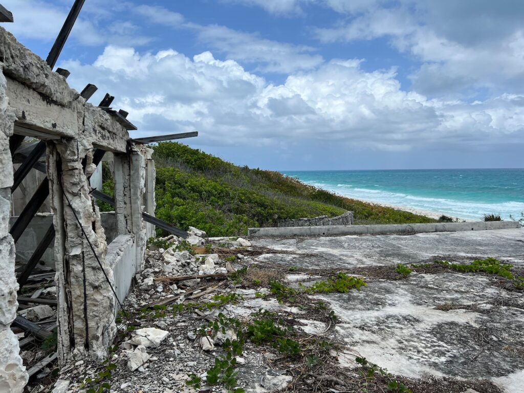
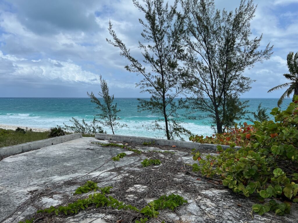
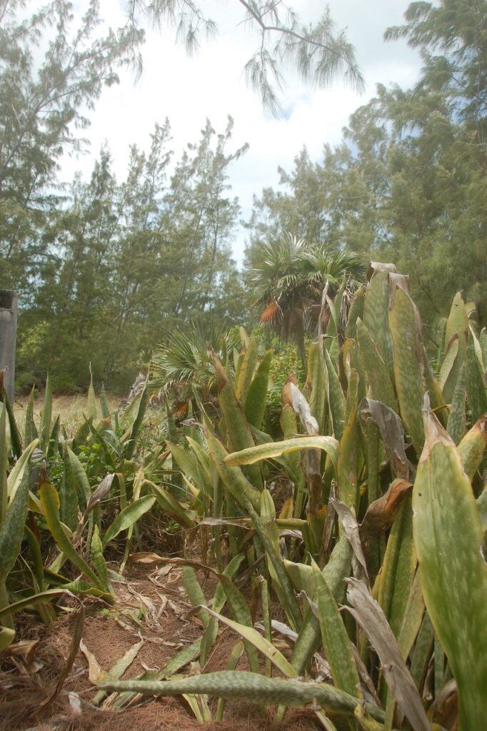
The Ruins
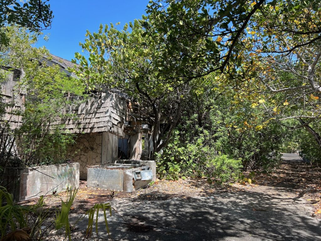
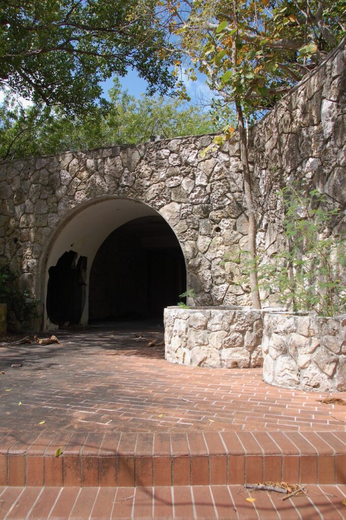
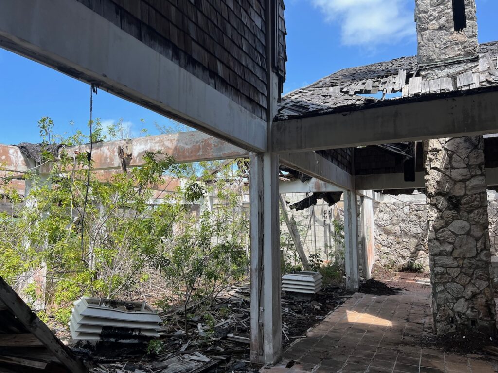
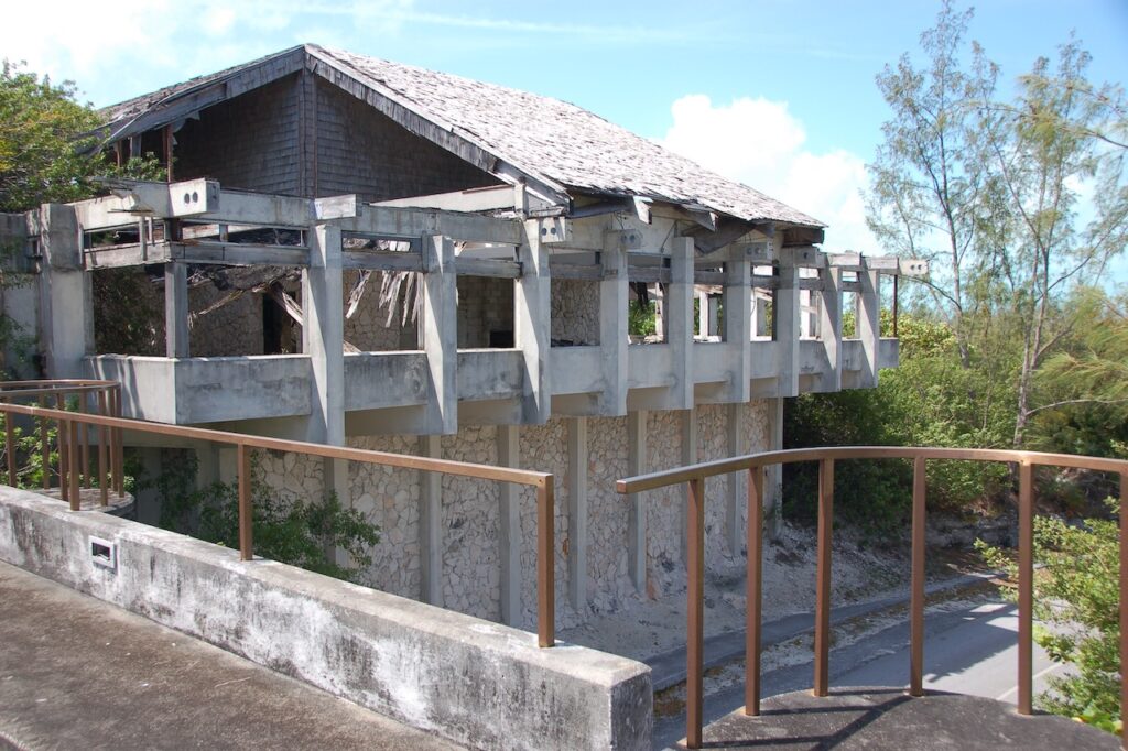
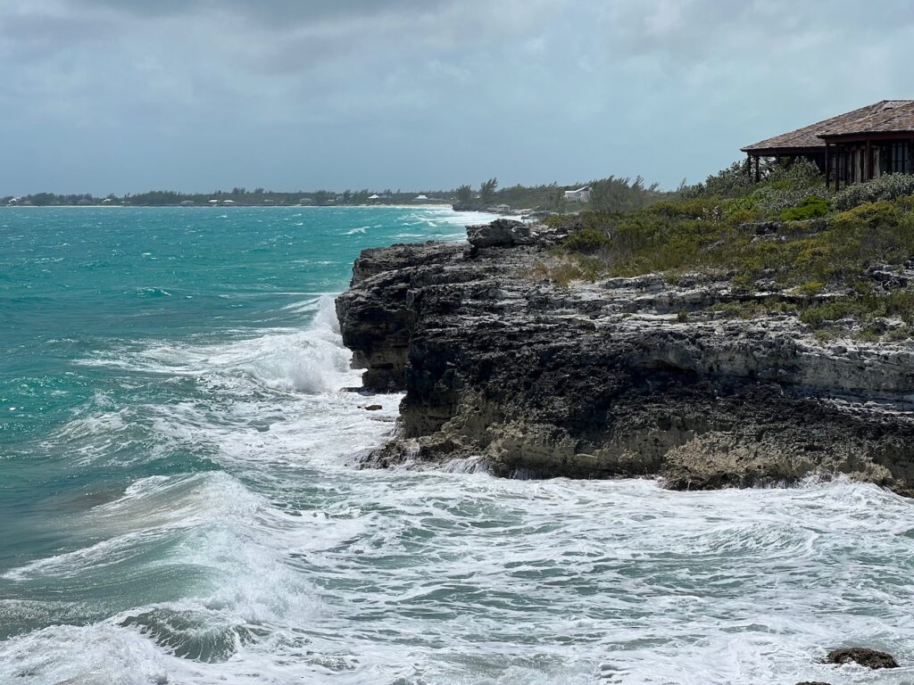
There is a wonderful history of Great Harbour Cay at https://www.greatharbourcaymarina.com/history which details the rise and fall of the island’s development by outsiders. What is left today are the physical ruins of The Clubhouse & The Sugar Beach Lodge and the stories of famous people who sunbathed here…
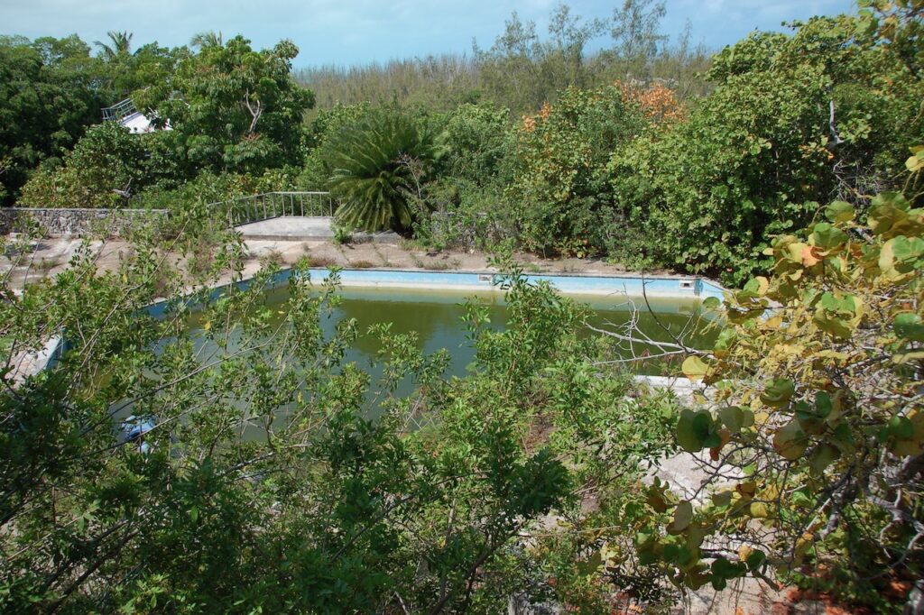

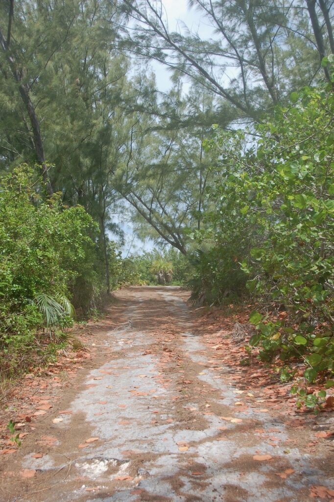
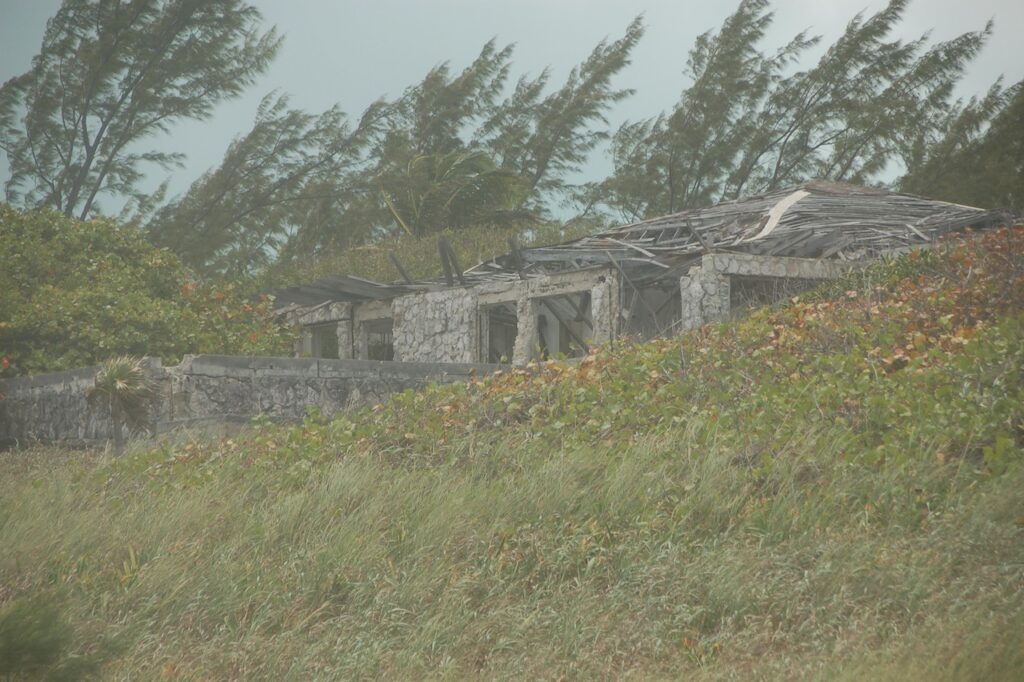
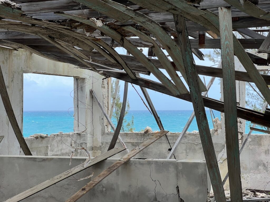
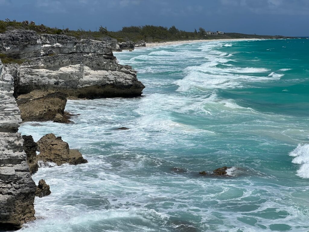
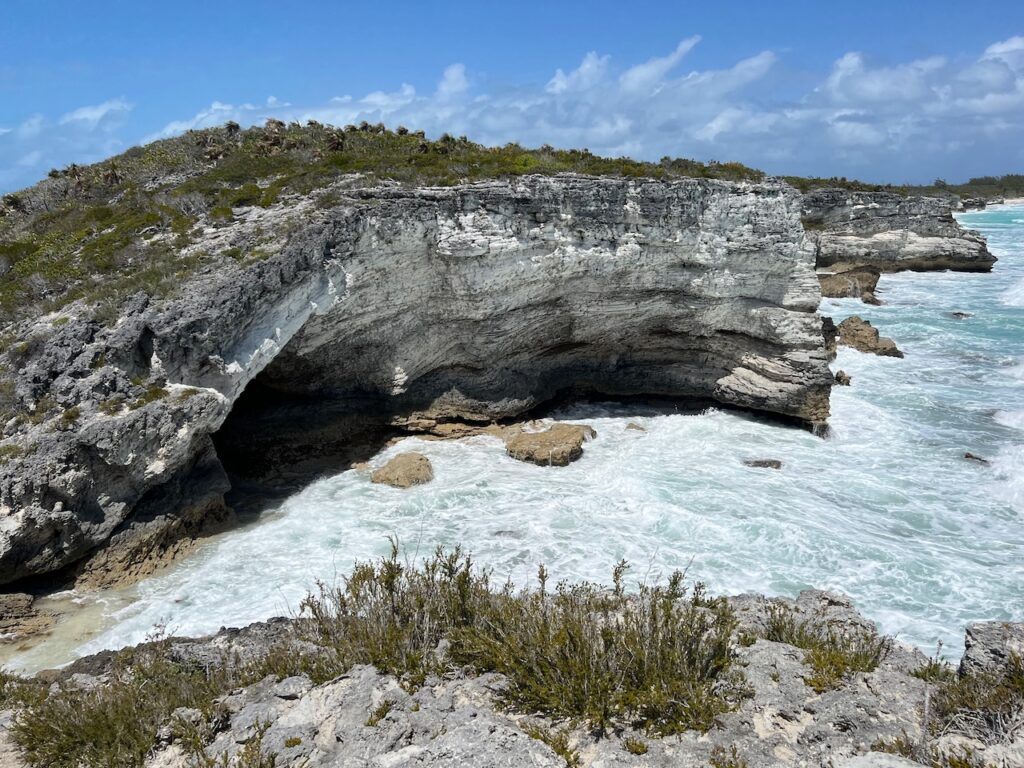
The Caves
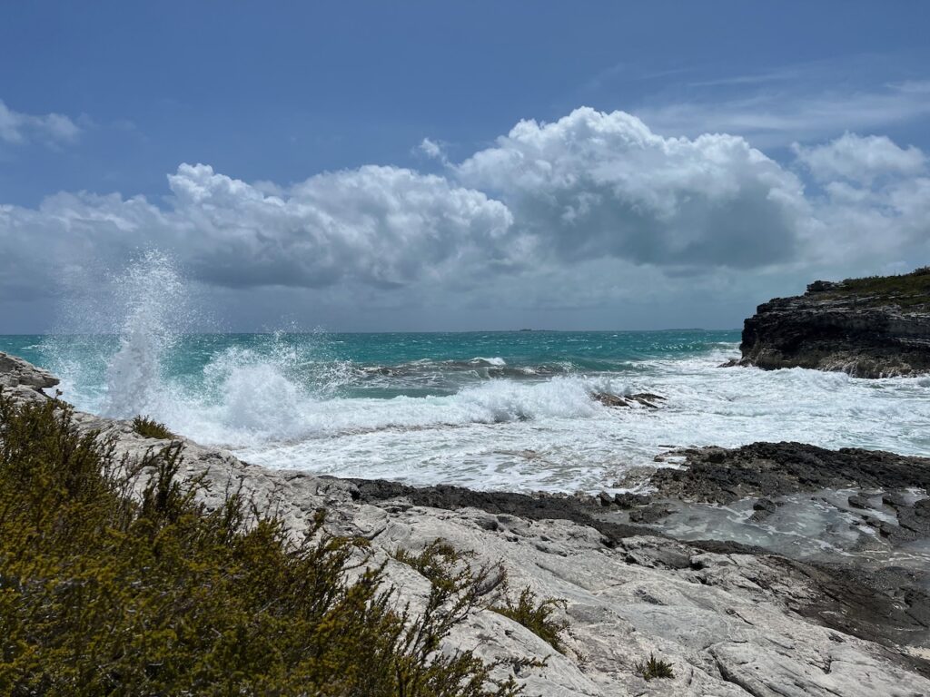
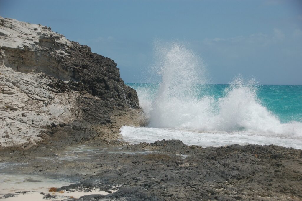
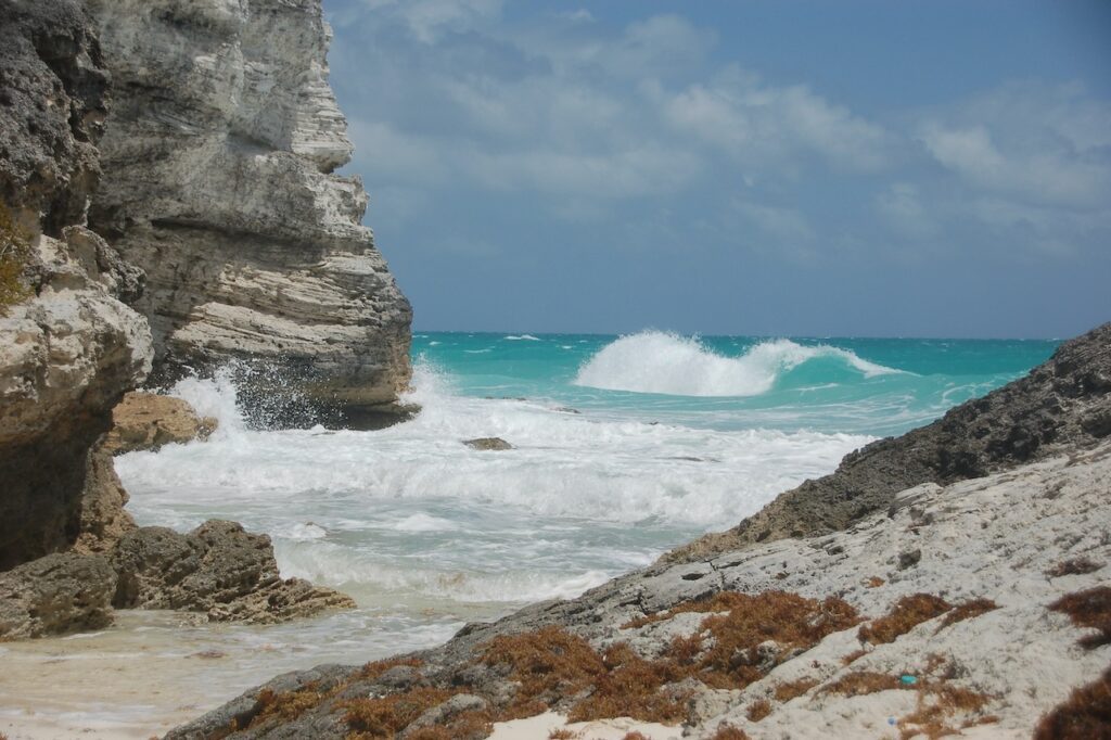
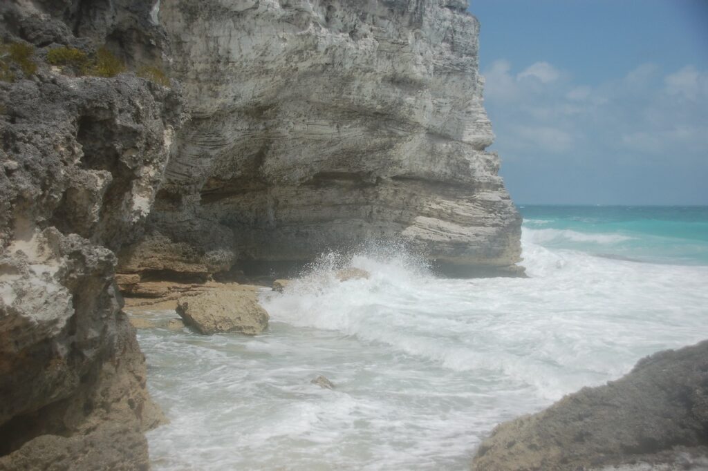
The spectacular Sugar Beach Caves are a mini version of the northern California coastline!
Little Shark River
We attempted the Little Shark River dinghy trip a second time with some veteran Loopers and this time we were successful!
