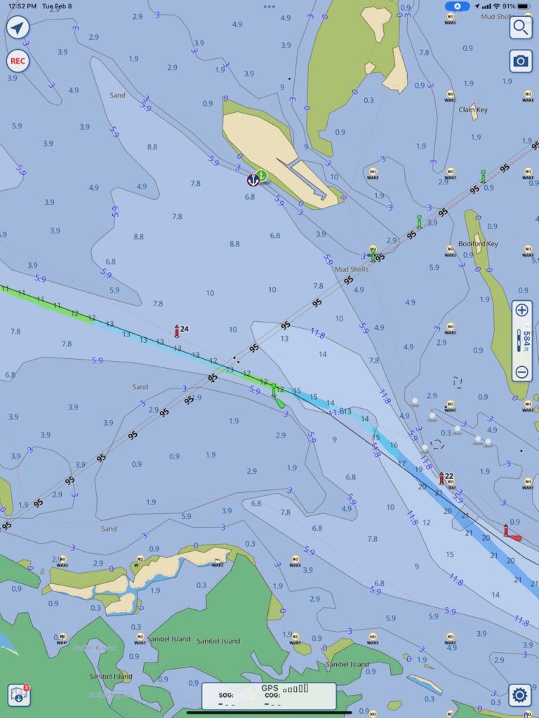
A happy ending to our story will be that no one else has to make the mistake we did. On Monday this week, we received word that NOAA (National Oceanic and Atmospheric Administration), the data source for the navigational charts boaters use in this section of the country, has agreed to correct the power line charted height. They will mark only the section over the GICW channel and remove the 95ft marking on all other sections.

