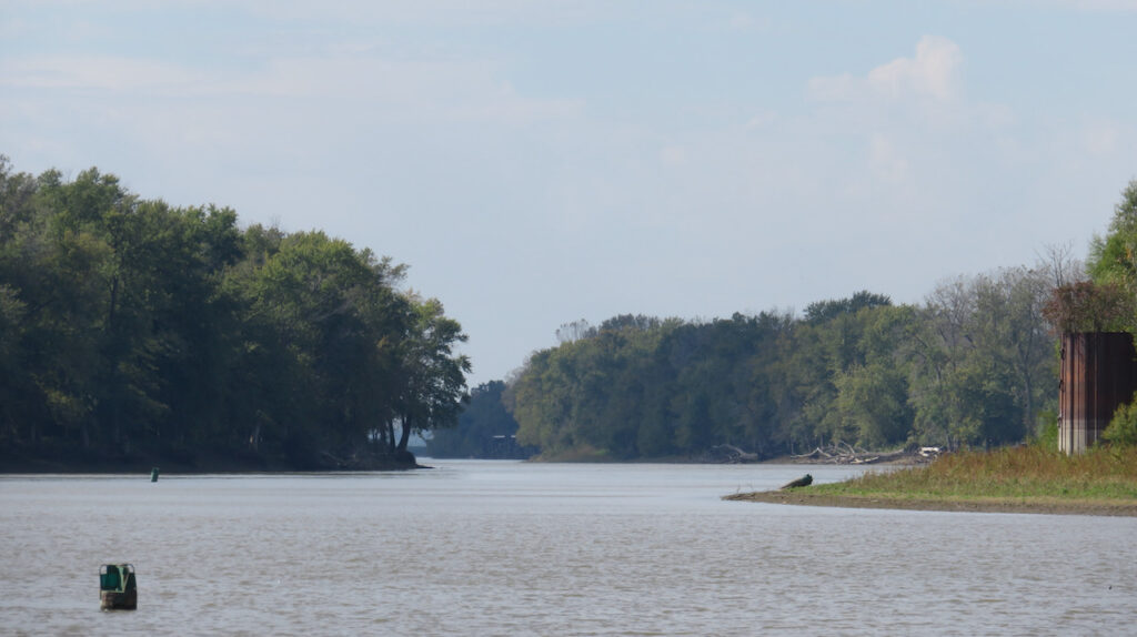
We left the Mississippi River at the Old River lock to continue south on the Atchafalaya River, the 5th largest river in North America by discharge.
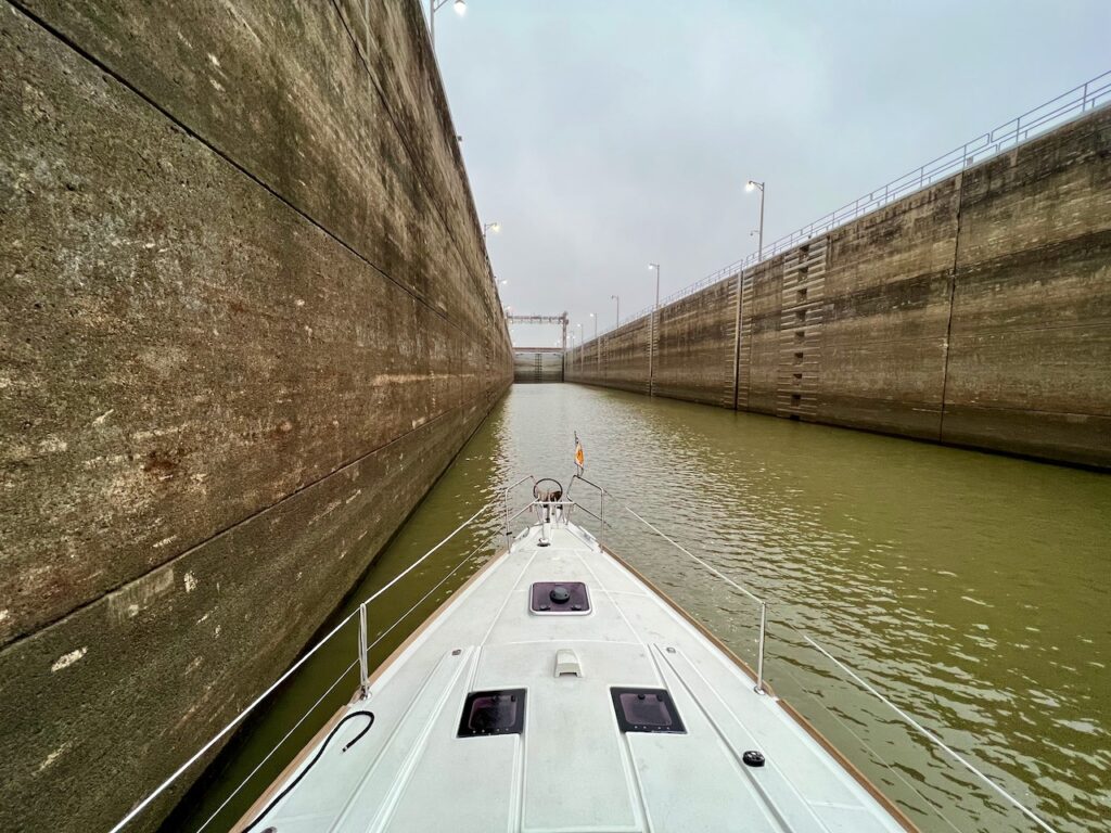
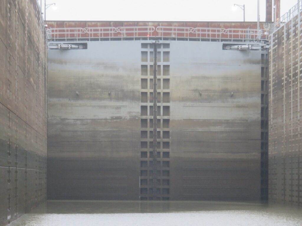
… this is the symphony we enjoyed while locking through. Listen!
We left the Mississippi River at the Old River lock to continue south on the Atchafalaya River, the 5th largest river in North America by discharge.


… this is the symphony we enjoyed while locking through. Listen!
It is hard to comprehend the sheer scale of the Mississippi. From St. Louis (where we joined the Mississippi with the Illinois River) to New Orleans it is about 1000 miles long (1600 km). But it is its width, the bends and the islands (tow heads) which make the river truly majestic.


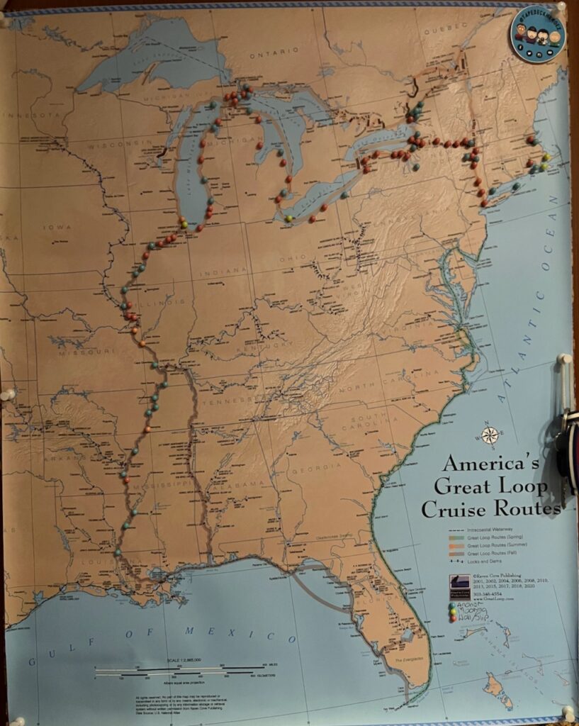
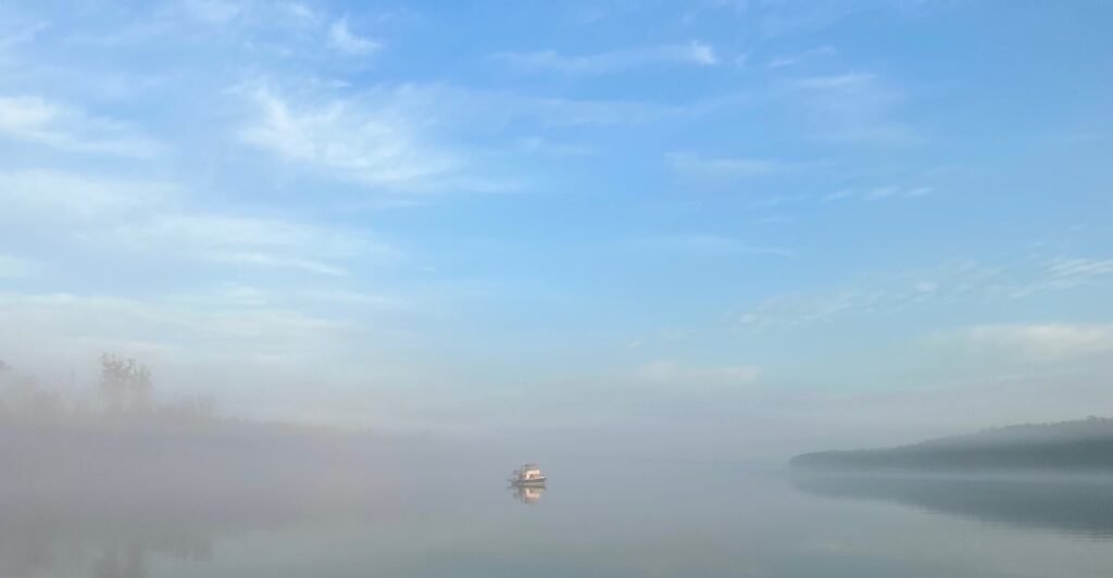
This is turning out to be a week of milestones! On Sunday, we reached the western most point of our trip when we left the Mississippi for the Atchafalaya River. Today, we have officially left the inland rivers we started back in Troy, NY, and are now back in tidal waters. We were 3 more days on the Mississippi, after Vicksburg, and 2 more days on the Atchafalaya River. There was nowhere to get off the boat during this 5 day stretch so, cabin fever setting in, we were thrilled to step off the boat in Morgan City. Still, we will miss the rivers and the extraordinary experiences we were lucky enough to have had.



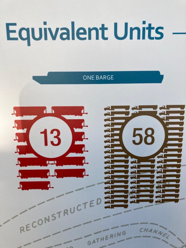
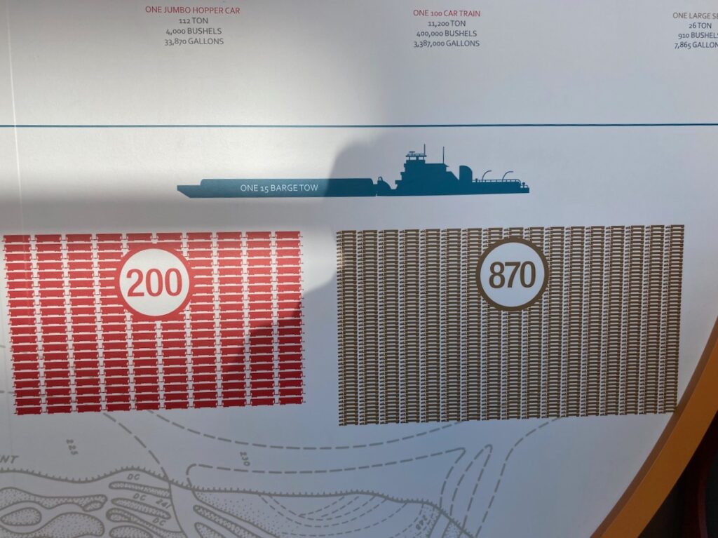
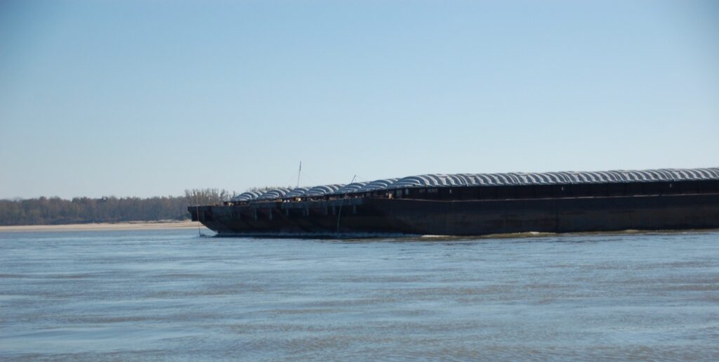
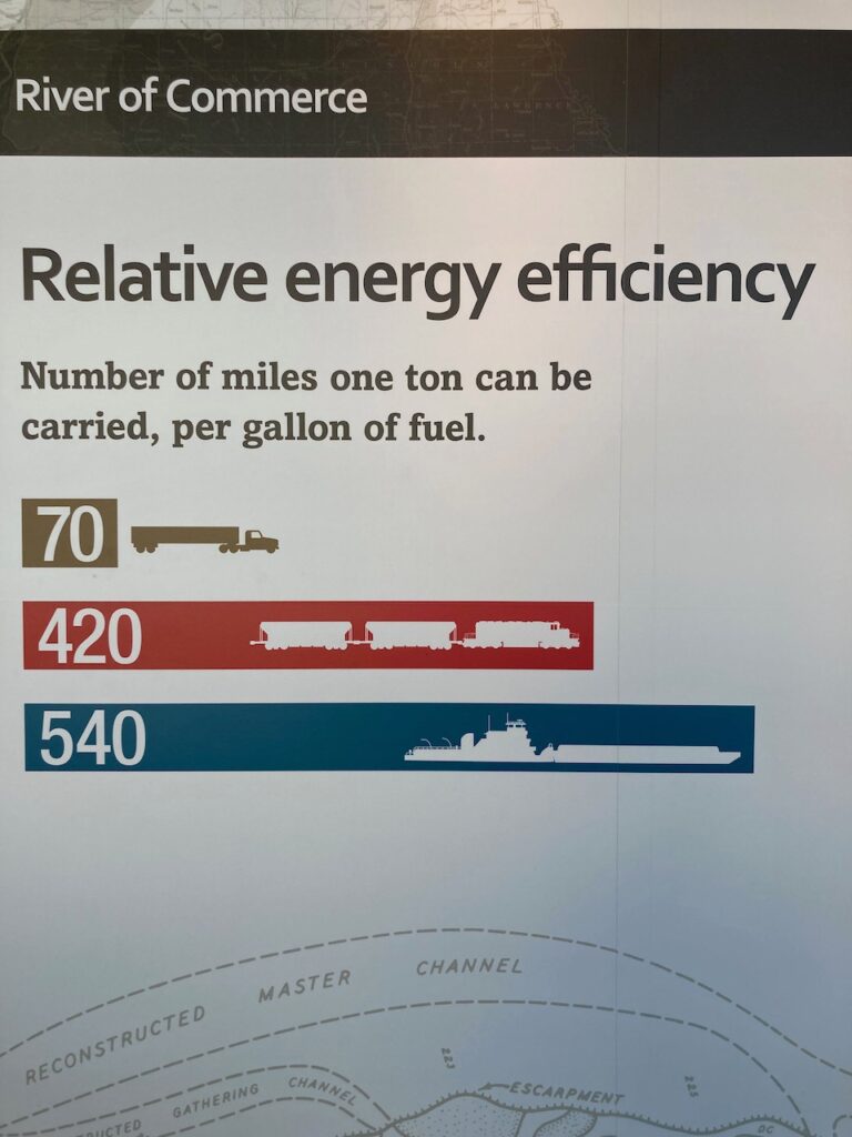
We have been posting pictures of the tows we encountered on this trip and, admittedly, it has been difficult to convey the enormity of the vehicles without special camera lenses. At the Lower Mississippi River Museum in Vicksburg, we stumbled on the perfect tool to provide context and convey size!

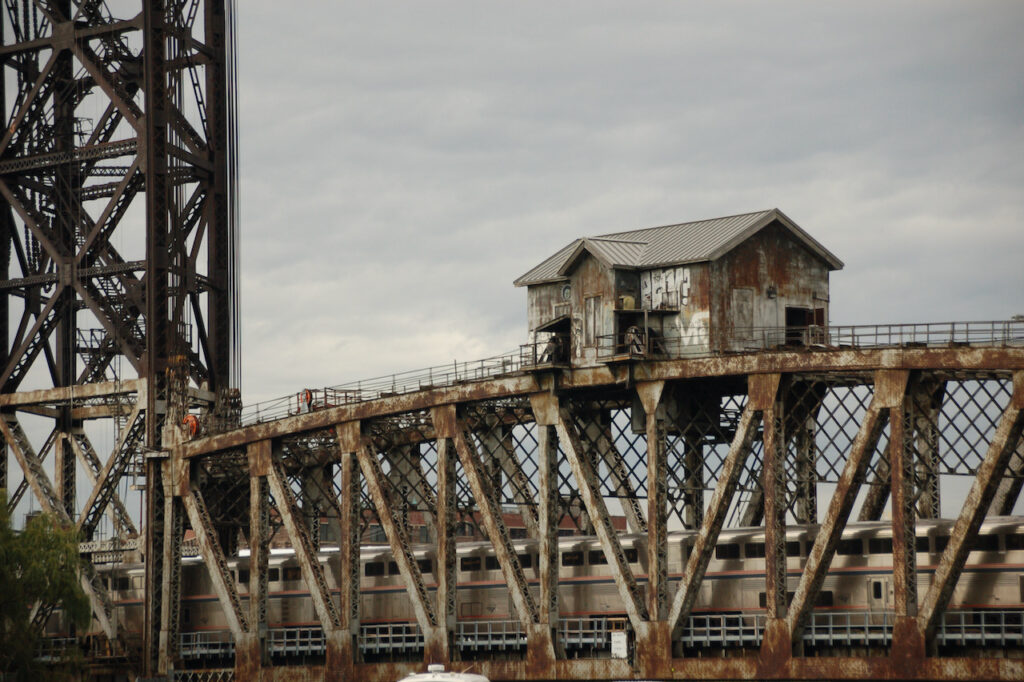
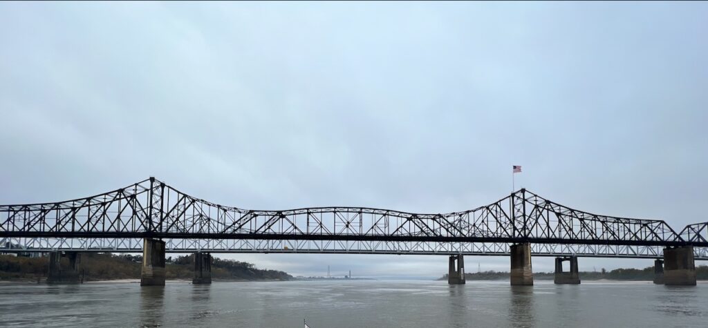
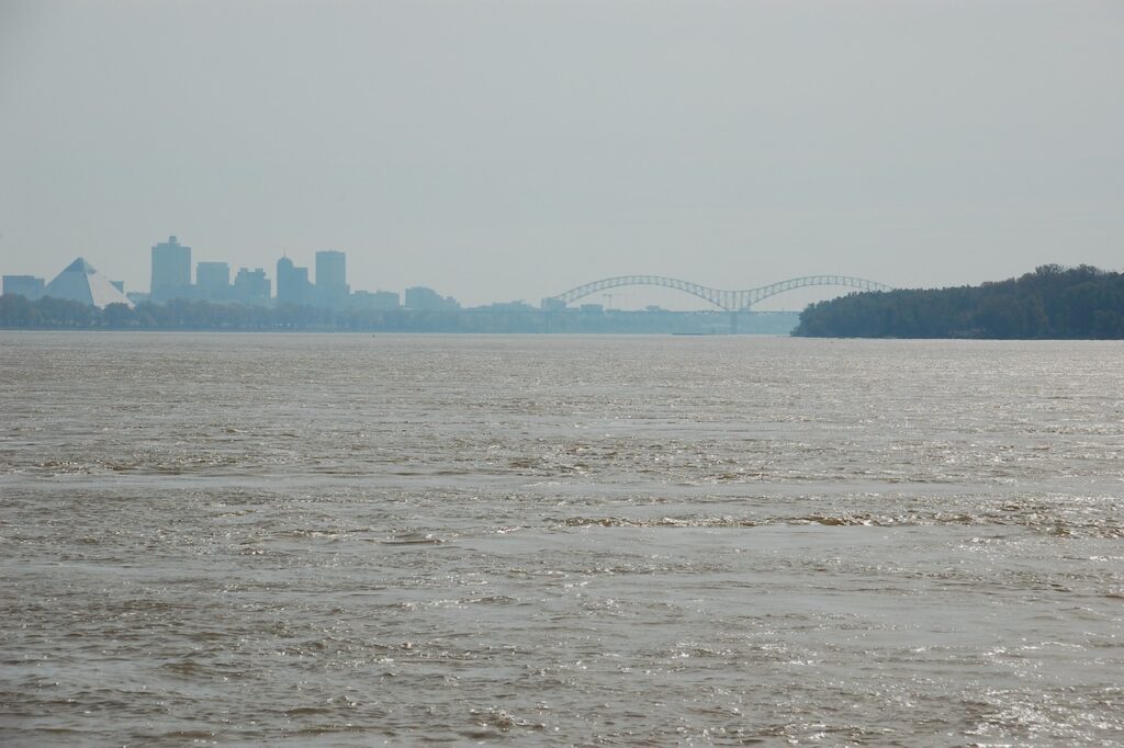
There are surprisingly few bridges over the Lower Mississippi River. They are located at the important (or formerly important) towns on the river and were natural stops for us.
Memphis is the largest of the Lower River towns we visited; it is a vibrant, colorful city and we enjoyed the barbecue, blues and Beale Street.
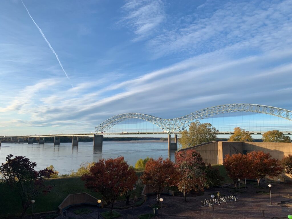

Memphis actually has multiple bridges spanning the Mississippi. On the left the I-40 interstate bridge and on the right the pedestrian bridge to Mud Island.
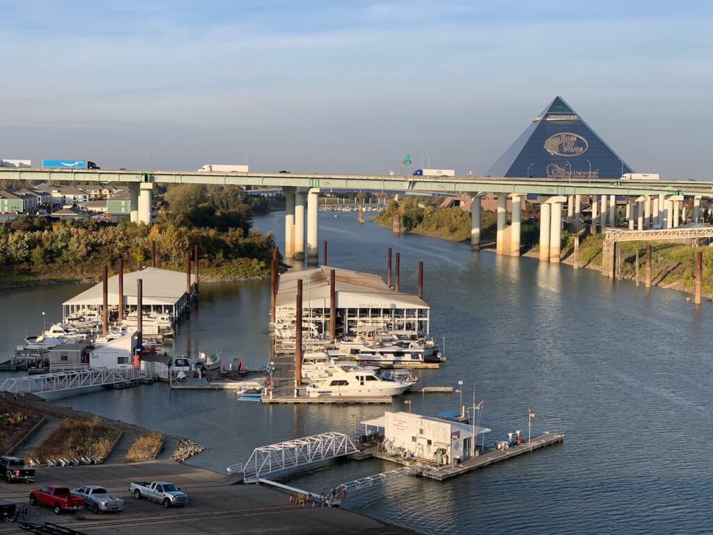
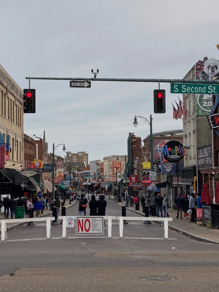

Beale Street and the South Main shopping district.


Mud Island Park’s Riverwalk. This is a model of the Mississippi River from Cairo, Illinois to the Gulf of Mexico. The model includes the river’s meanderings, towns and the bridges spanning the river. It is 2000 ft (600 m) long with a scale of 30 inches to a mile (1:63360). The last image is our destination, New Orleans, represented in the model.
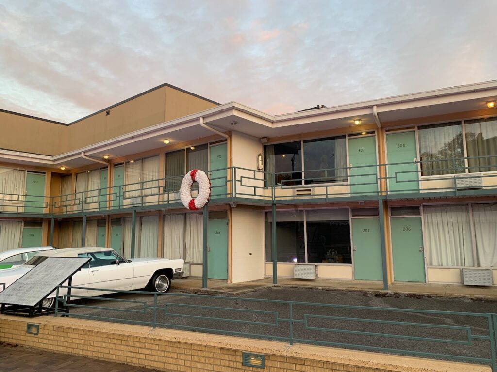

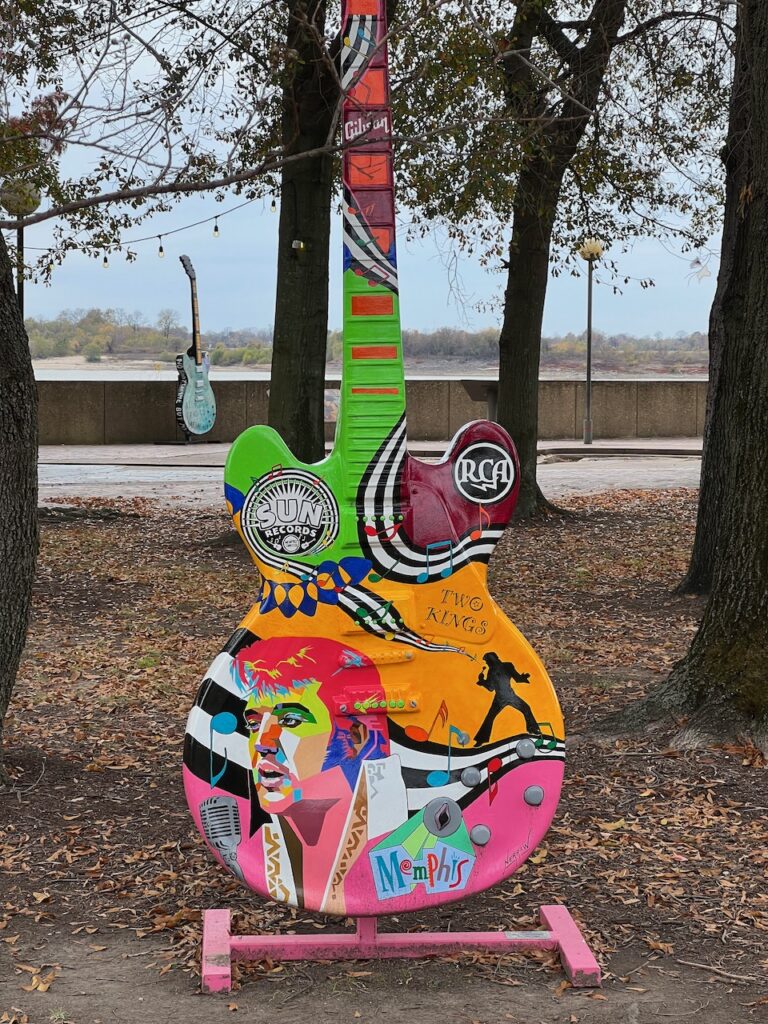


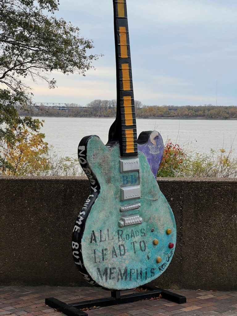
Memphis, home of the Memphis Blues🎷🎷🎷

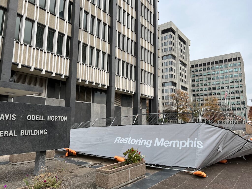
Helena was once the seat of the highest cotton producing county in the US. It is the birthplace of Conway Twitty and Sonny Boy Williamson. The annual King Biscuit Blues festival is held here every October and 30,000+ blues fans bolster the local economy for four days. (Helena is home to radio station KFFA; the original King Biscuit Hour was broadcast from here.) Today, Helena is a shadow of its former self. To be fair, we visited on a Sunday, but it was as if we stumbled onto a movie set during off hours…
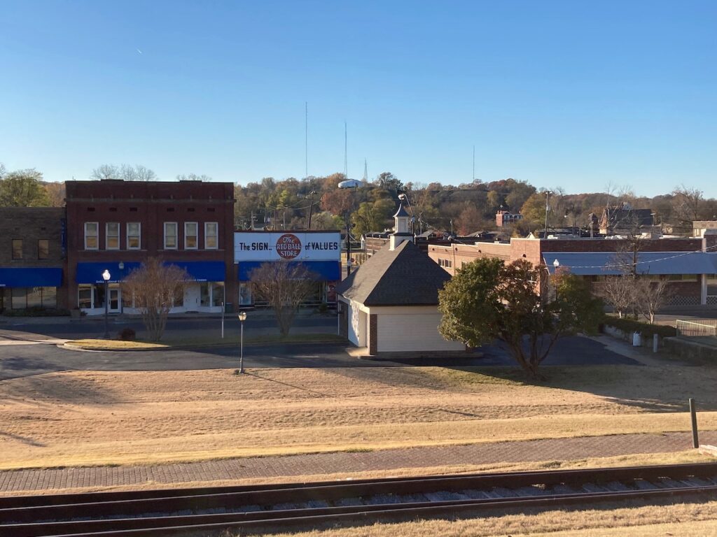

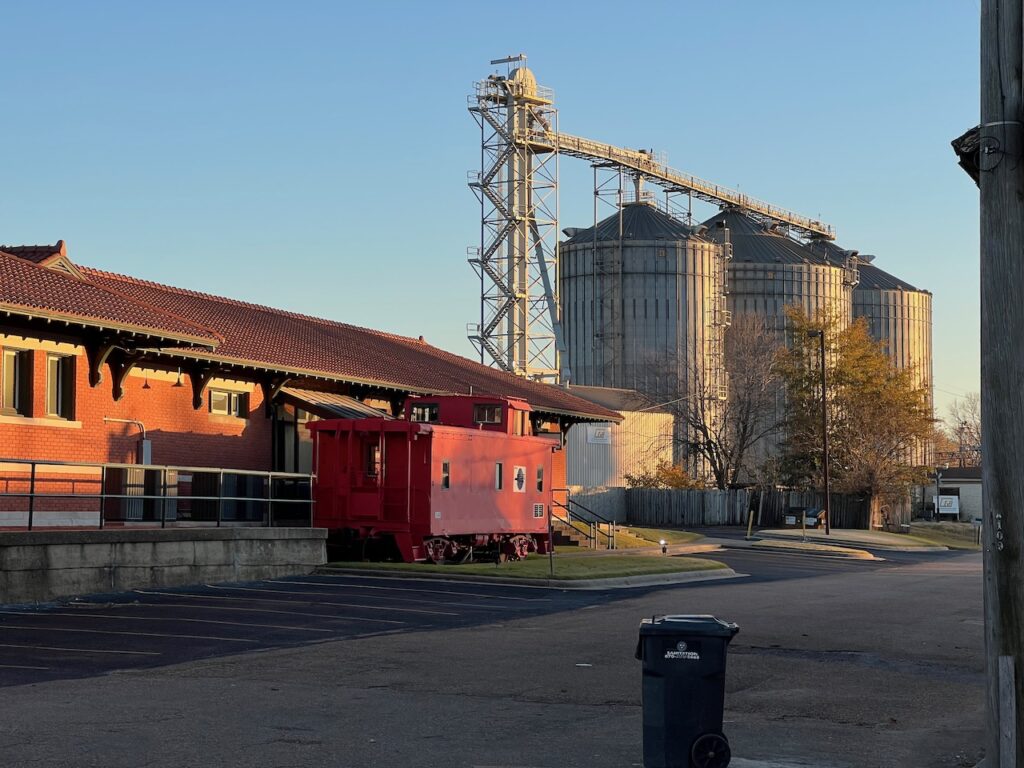
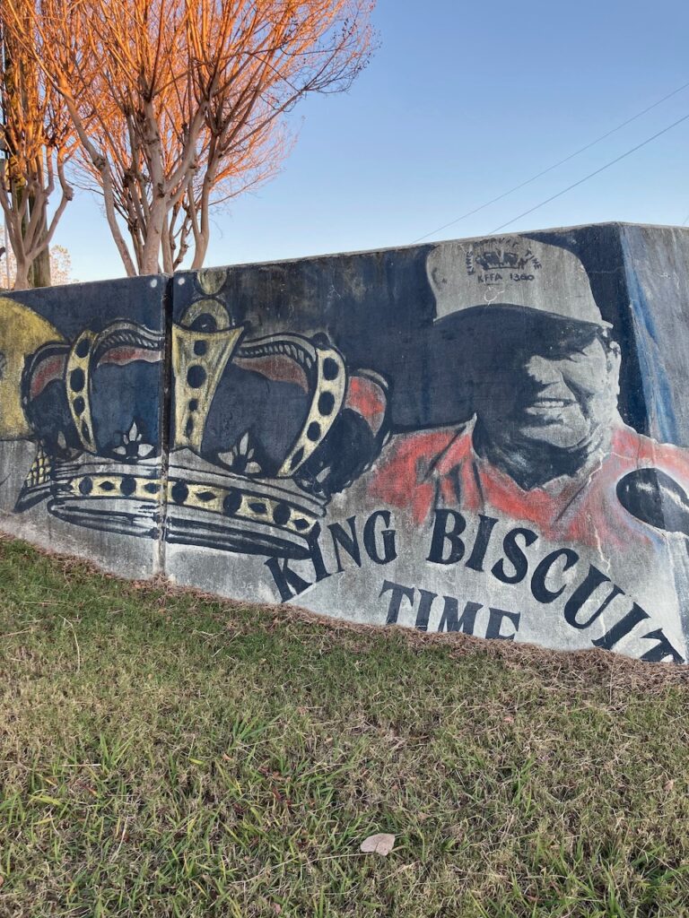
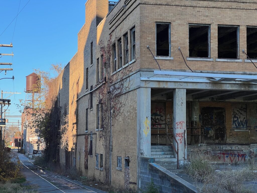
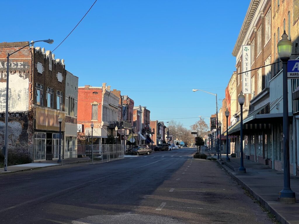
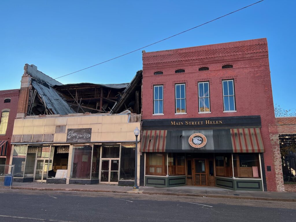
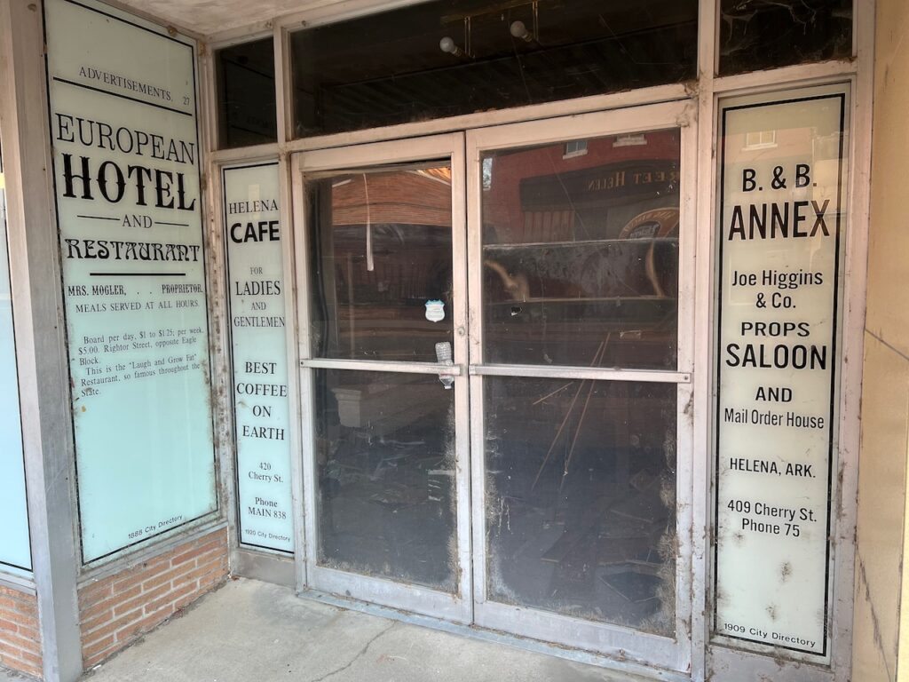


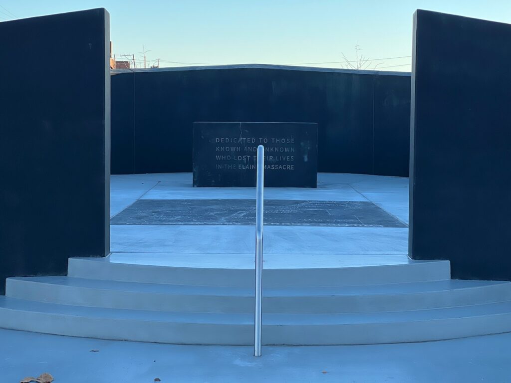
There is a small, neat park at the end of Cherry St which dispelled a bit of the gloom… until you googled “What was the Elaine Massacre?”. The image on the right is a memorial to the victims of the massacre. From the memorial alone, unless you had previous knowledge, you would never know it was the largest race riot in the history of the US.

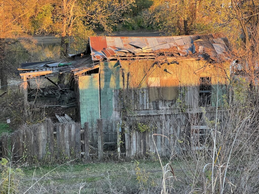

We left Helena-West Helena more aware of the havoc the loss of economic activity can have on a community. We saw this played out in upstate New York but, moving quickly into the tourist infrastructure of the Erie Canal, quickly forgot the dismal places. Here, in the middle of the country, you get reminded almost every day.
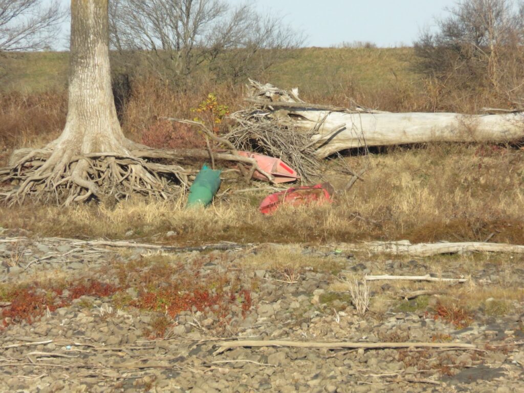
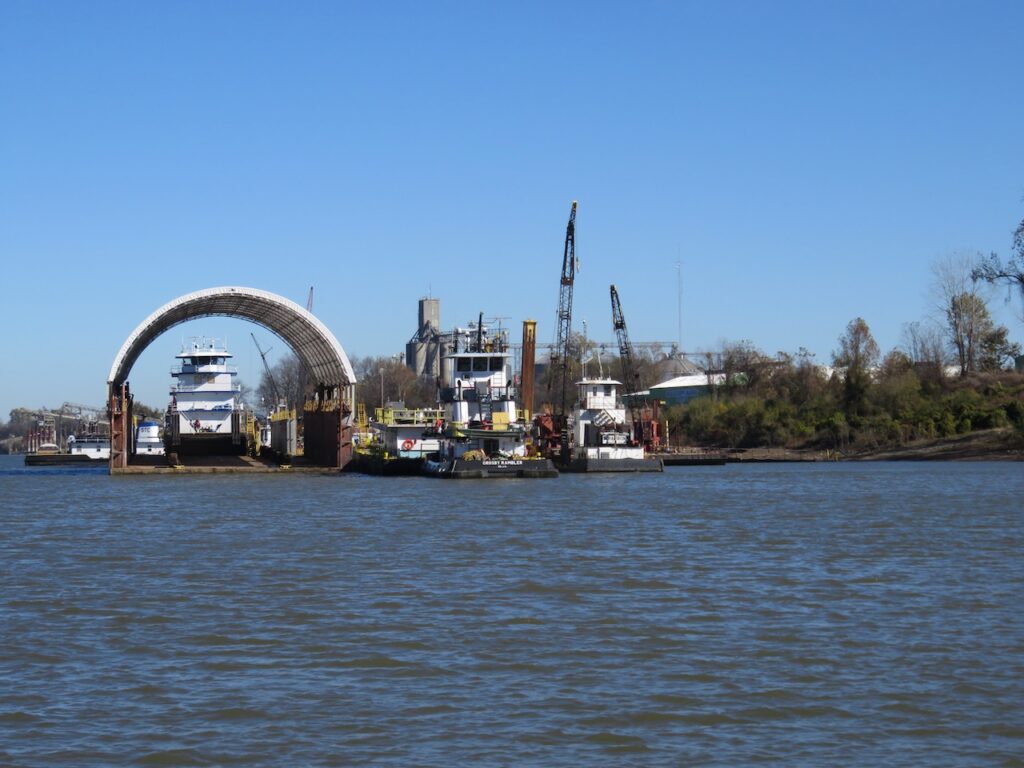
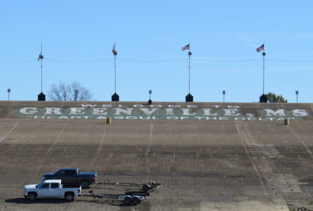
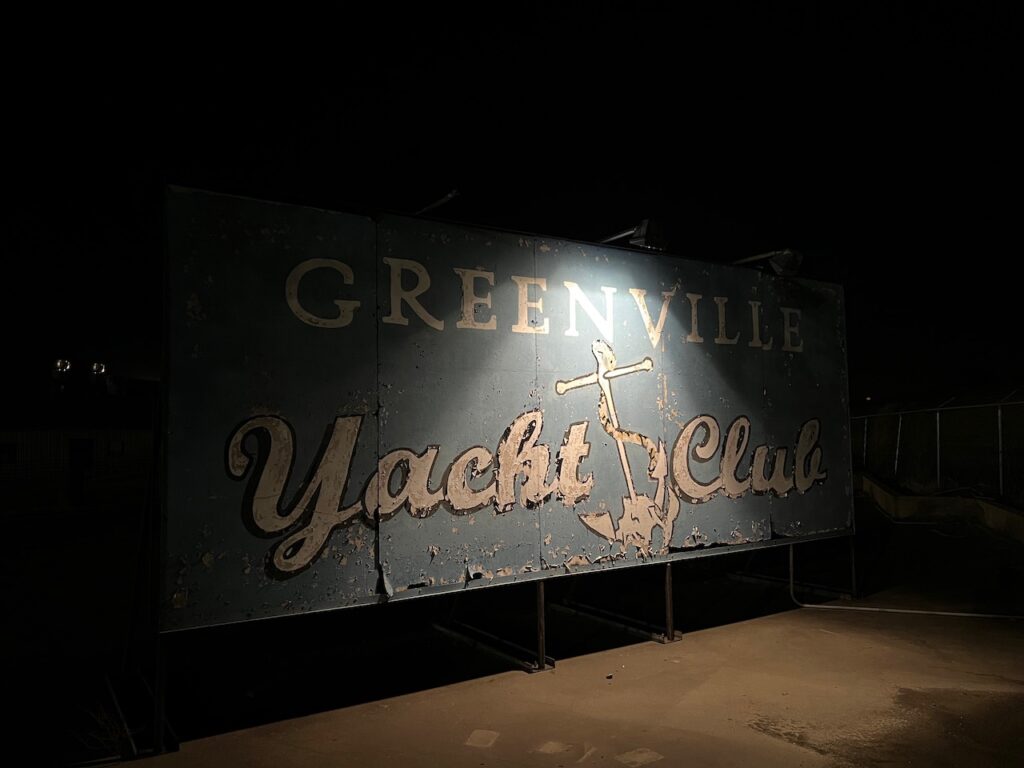
Greenville is another struggling river town. At one point, Greenville had a large marine industry servicing the tows and barges that run the river. The Carter administration’s Soviet Union grain embargo wiped out many of the players when grain transport for export was halted. Today there is only a single service still in operation. The Delta Blues scene was also a vibrant component of life in Greenville. Nelson Street was once lined with music venues like Beale Street in Memphis. Doe’s Eat Place, on Nelson St, was one of the blues clubs but continues today only as a restaurant, one the few remaining in town.

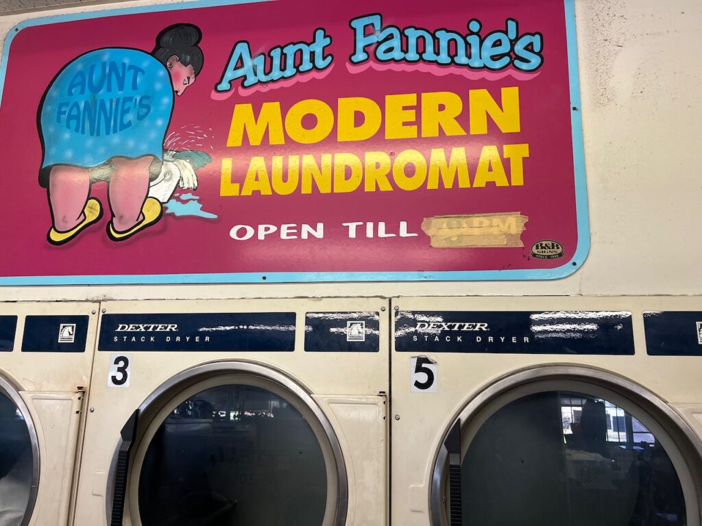
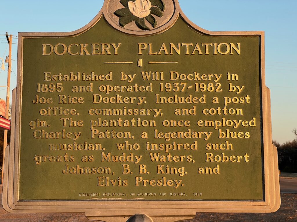


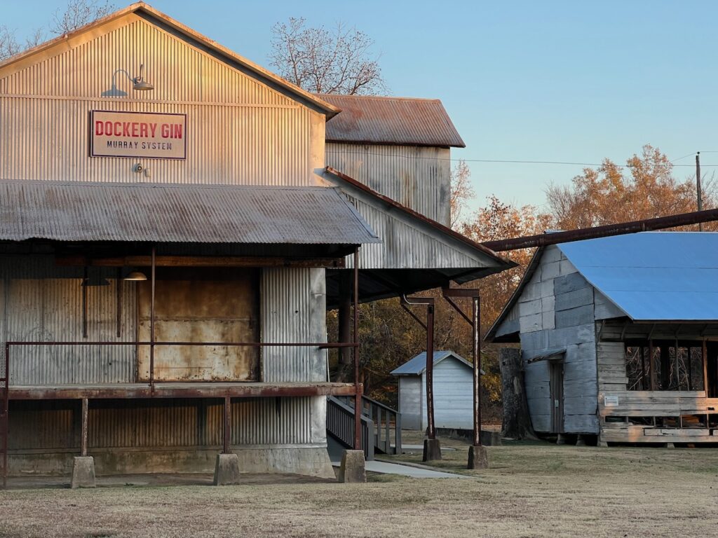
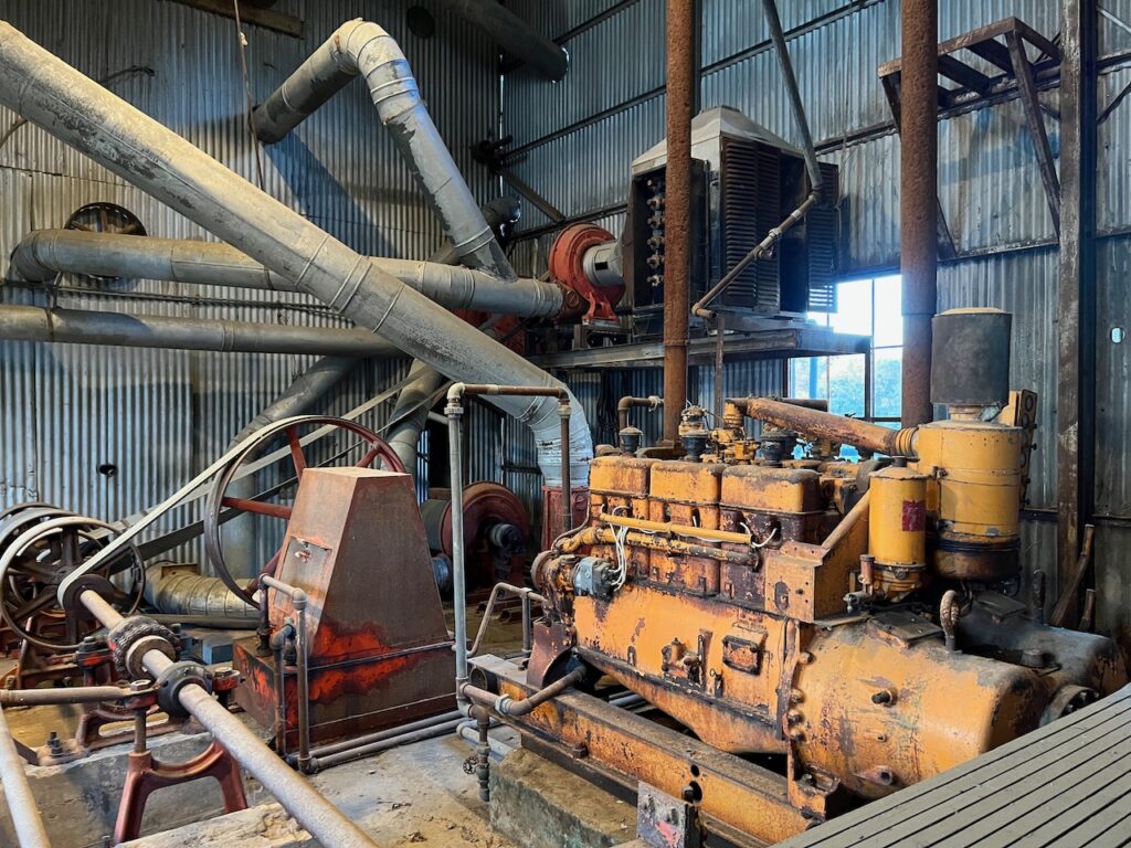
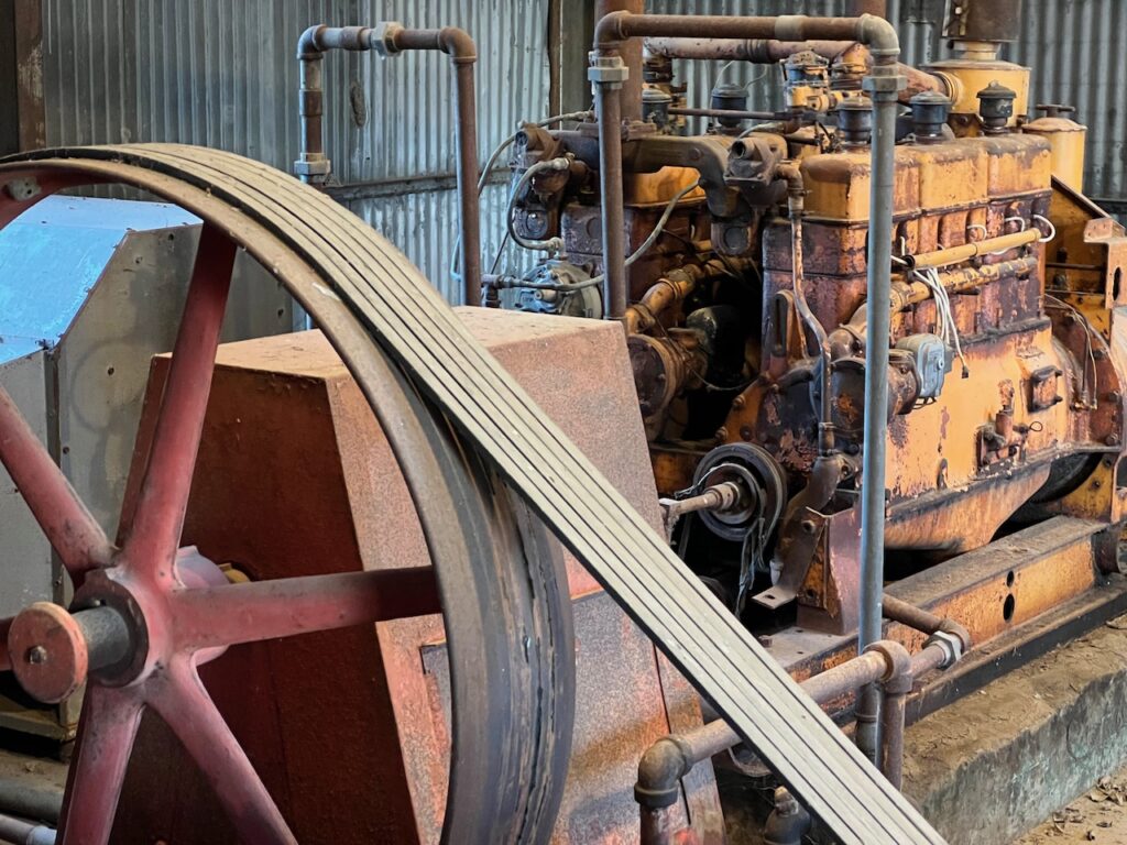
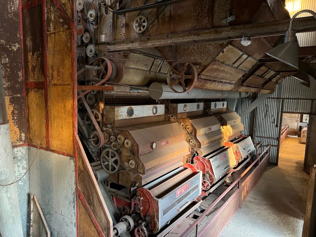
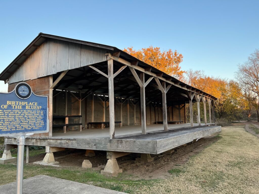
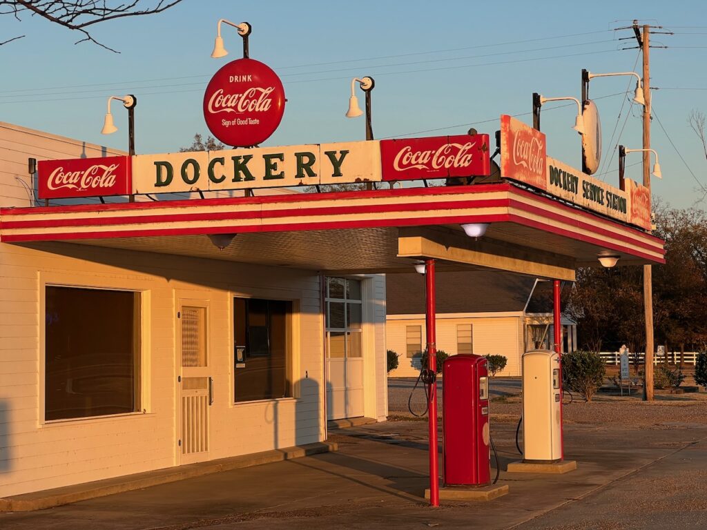
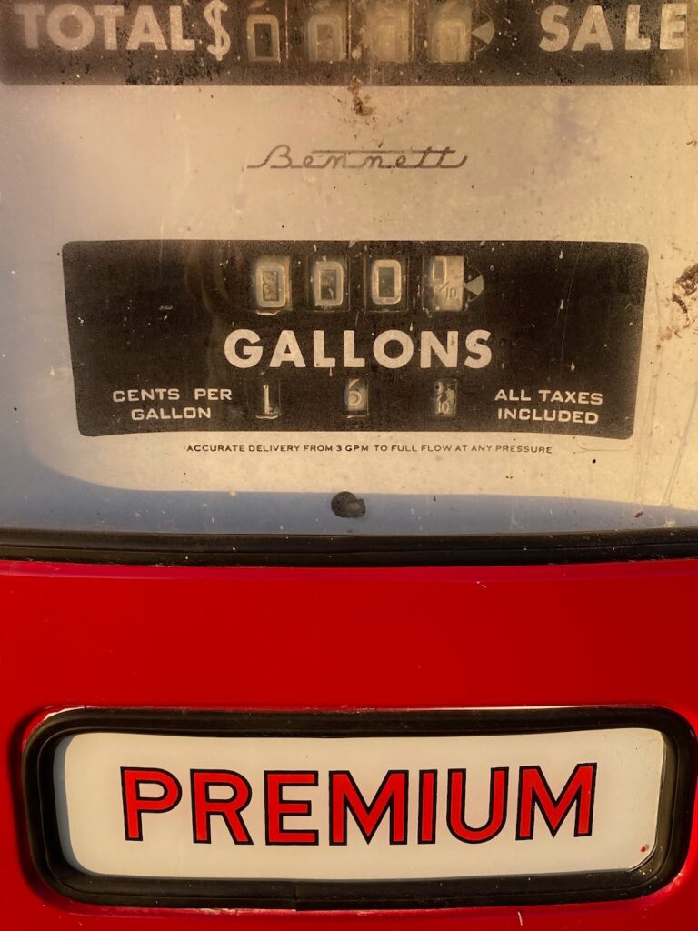

We stopped at Dockery Plantation on the way back to Greenville. The plantation was extremely well maintained and the inside workings of the cotton gin were fascinating. Check out the price for Premium at the gas station!!!😆 Dockery is also reported to be the birthplace of the blues; Charley Patton lived and learned his craft here.

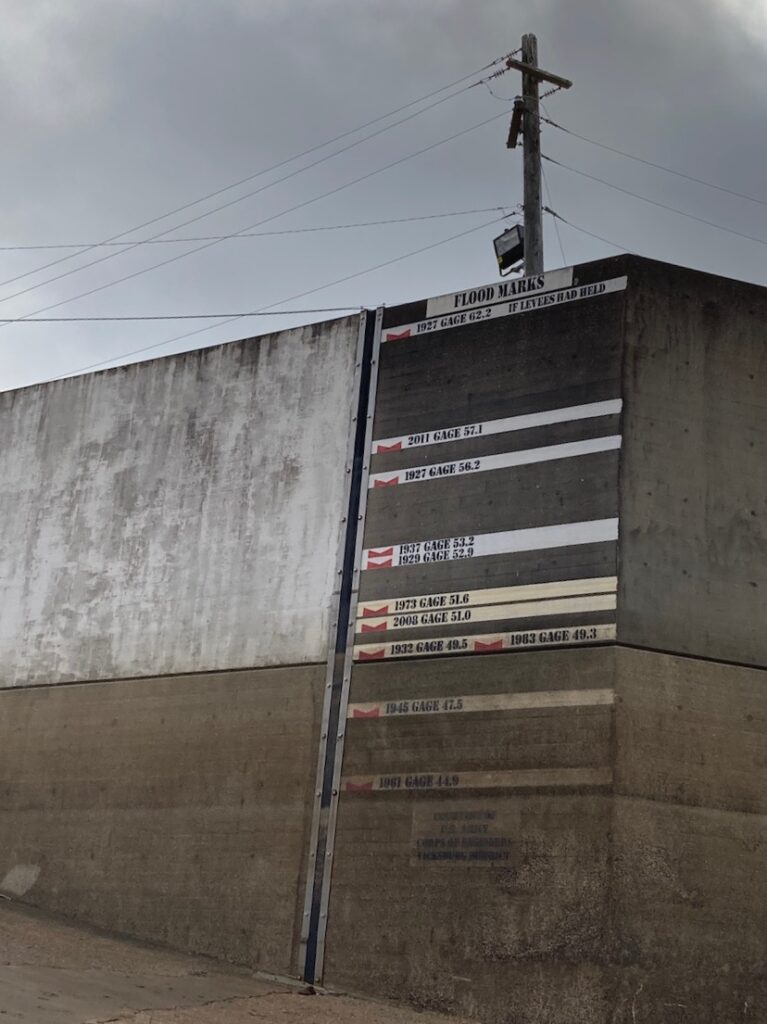
All of the marketing material and tourist info we saw refer to Vicksburg as “The Key to the South”. The moniker was earned when Lincoln referred to Vicksburg’s strategic importance for Union victory during the Civil War and remains relevant today with the well-preserved historical and cultural attractions. Vicksburg is home to the National Military Park, which commemorates the battle for Vicksburg, and the Jesse Brent Lower Mississippi River Museum, which showcases the river and the Army Corp of Engineers efforts to mange it.
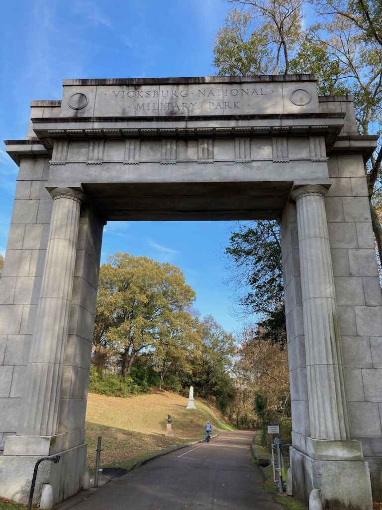
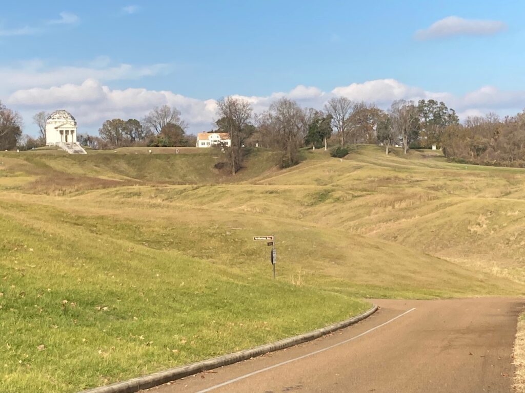
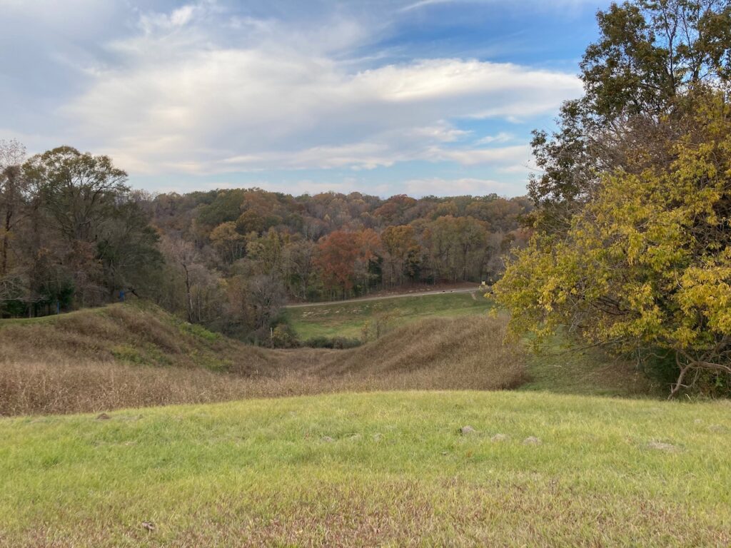

The Union and Confederate lines are documented with blue and red plaques throughout the park. In some places, the lines are only a couple of feet apart… Also, this was all farm land before the battle and, like most all of the Delta farm lands, probably cleared by hand.

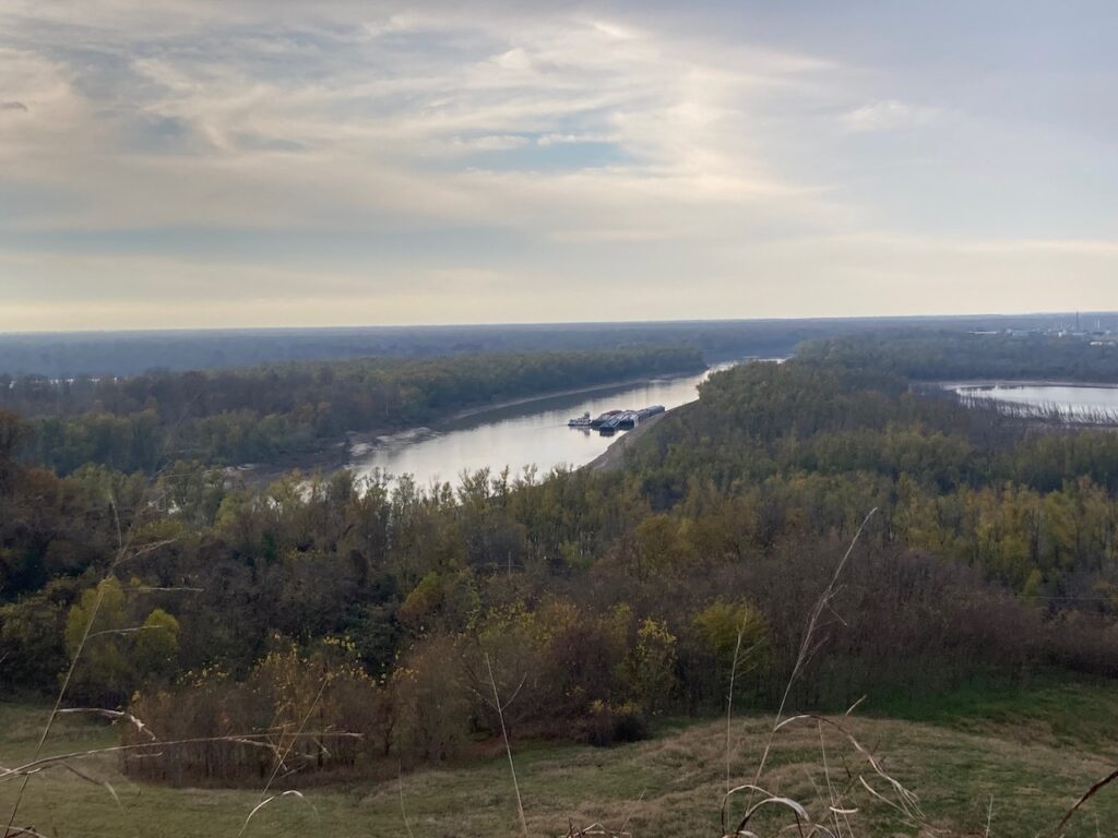
At the highest point in the park, you begin to understand why Vicksburg was so important a military asset. It was the highest terrain we had seen since Memphis.
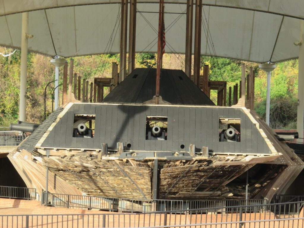
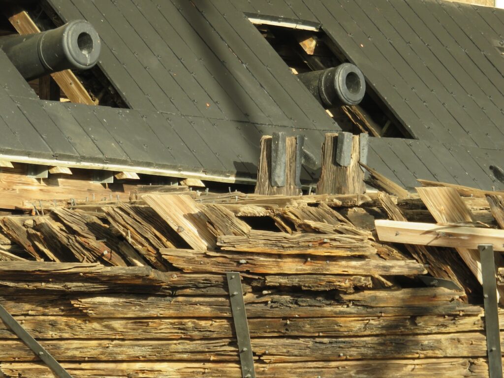


The USS Cairo was one of seven ironclads, naval military vessels designed to navigate the river’s shallows. The Cairo was damaged in the battle of Vicksburg, sunk and was recovered in 1964. The museum has reconstructed the Cairo from parts salvaged from the original.


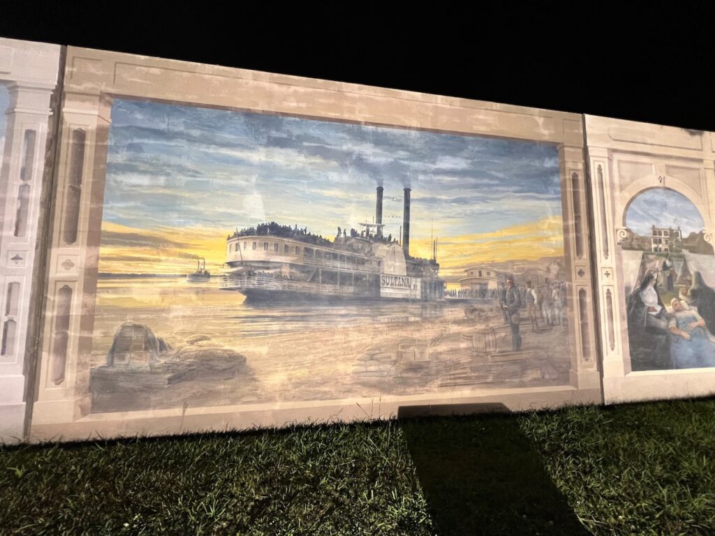
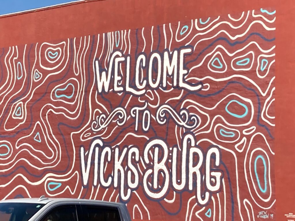
The Riverfront Murals on Catfish Row, the downtown arts district in Vicksburg.
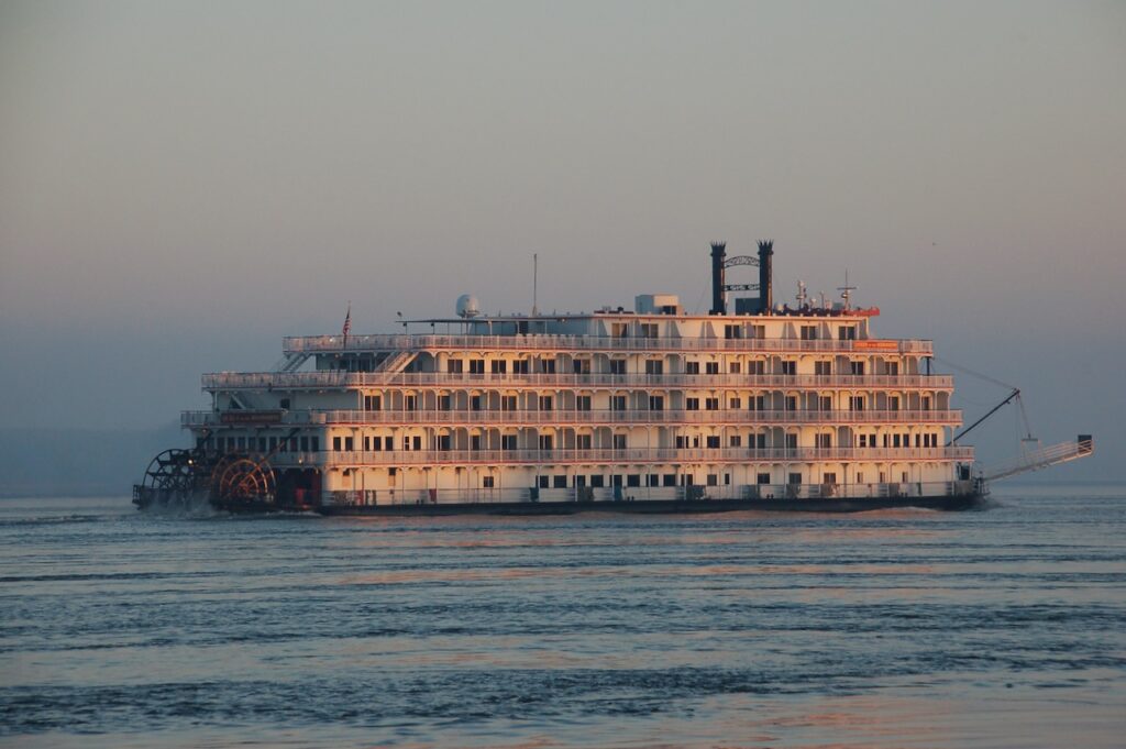
What was supposed to be only a 4 day hiatus turned into a month long furlough for me and required Christian to move the boat, alone, from Grafton to Memphis. I would love to post pictures of the reason why but have neglected to get Elias’ approval to do so… and new grandparents do not want to start off on the wrong foot! 🤗🤗👶👍💃☺️
Christian was kind enough to document his journey in pictures for us… A solo journey on the Upper Mississippi is quite an accomplishment so we will forgive him the lack of editorial. I will add color where I can but full disclosure, I was not here…
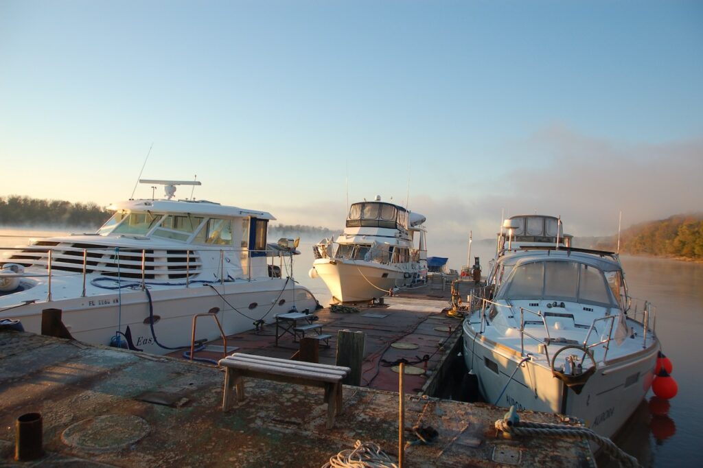


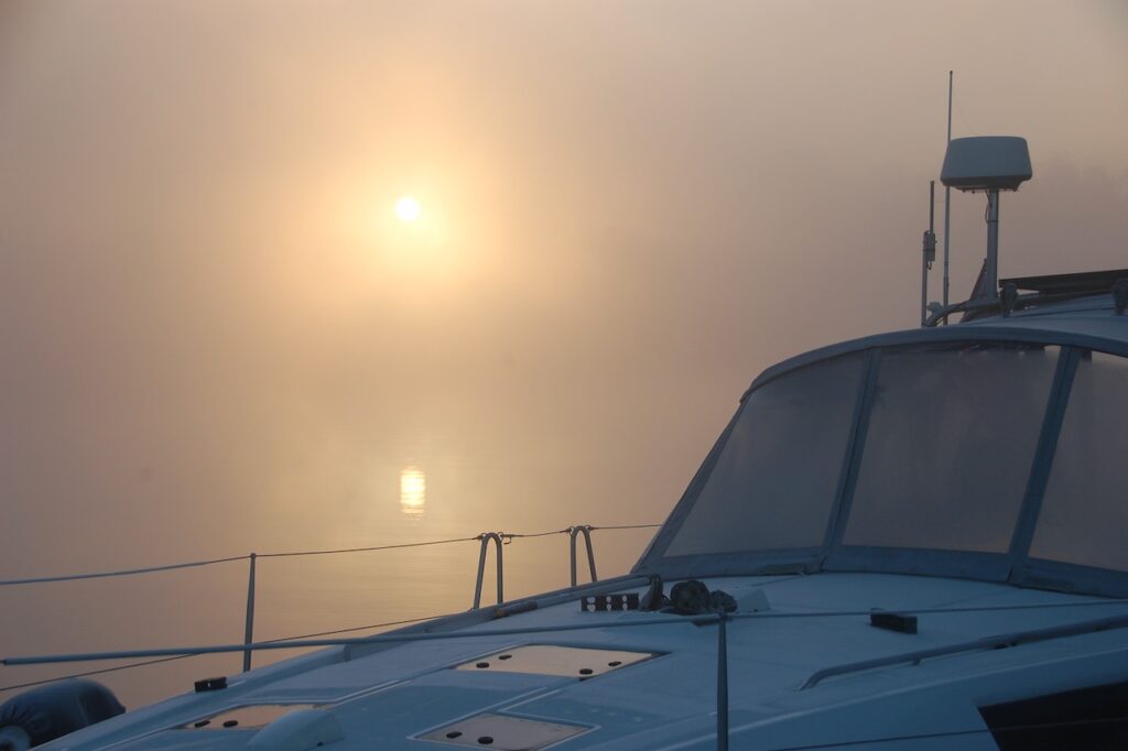

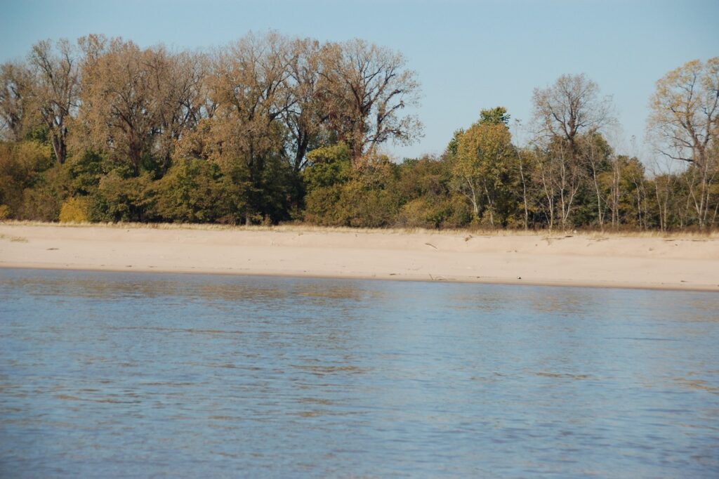
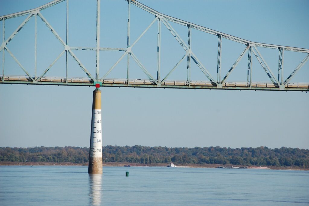
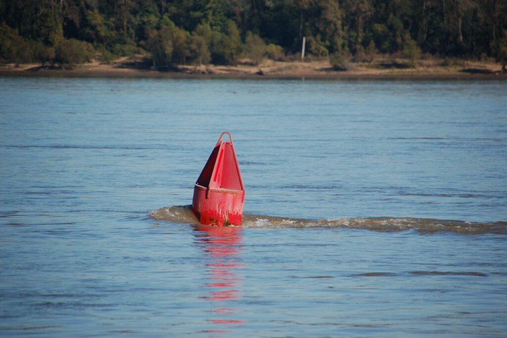

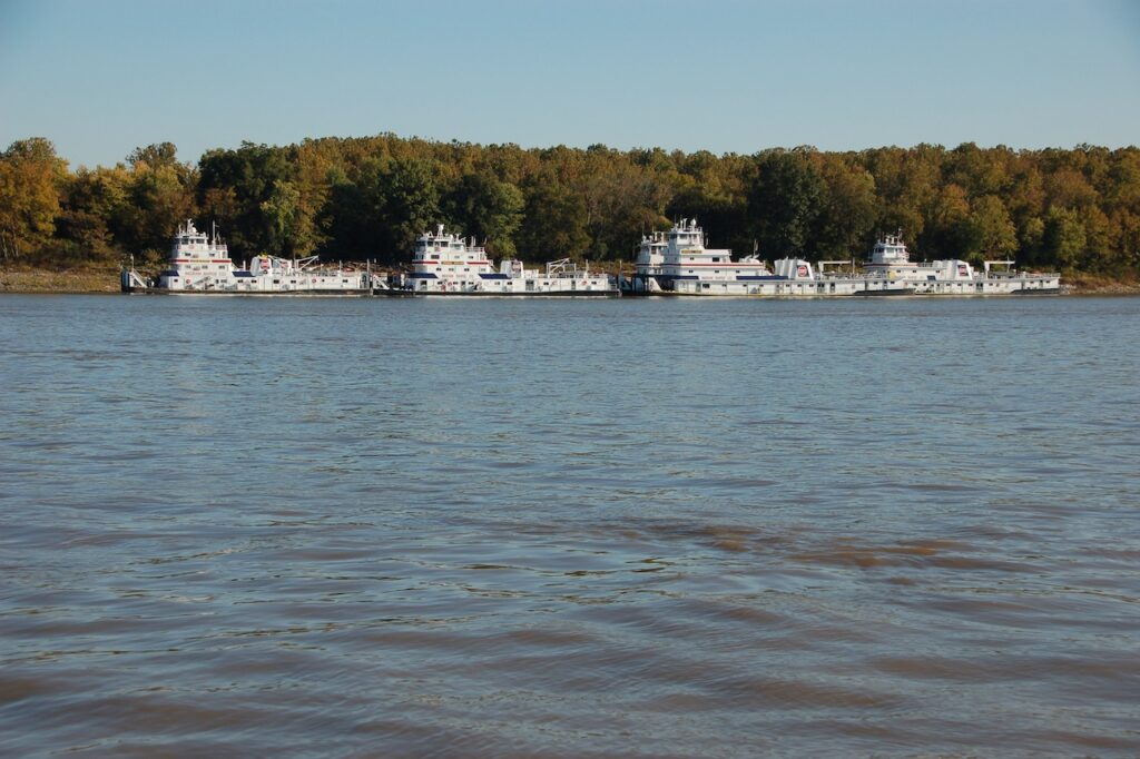

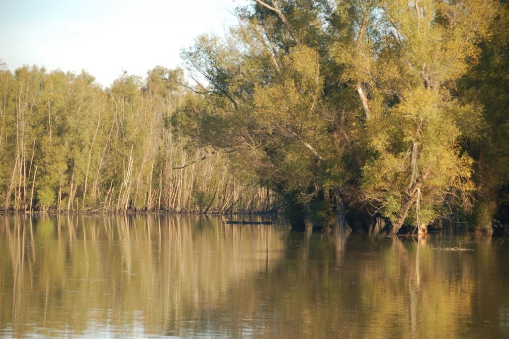
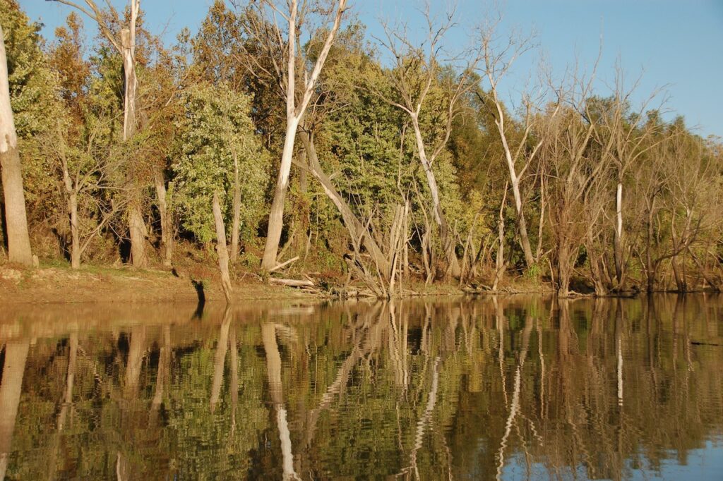
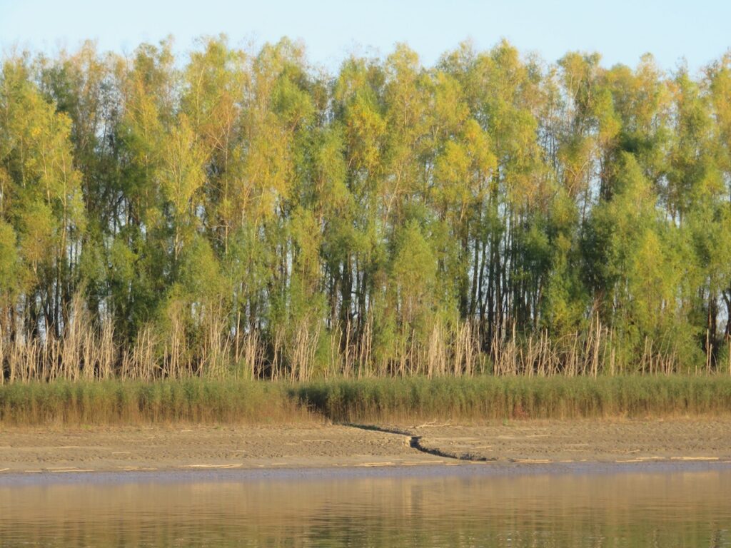
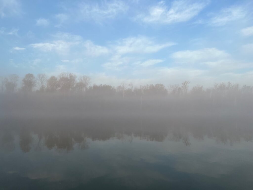
The Mississippi has no pleasure boating infrastructure to speak of so overnights stops are slack harbors (inlets where barges are loaded or tows are staged) or sides of the river where the bends are wide and the current is low.
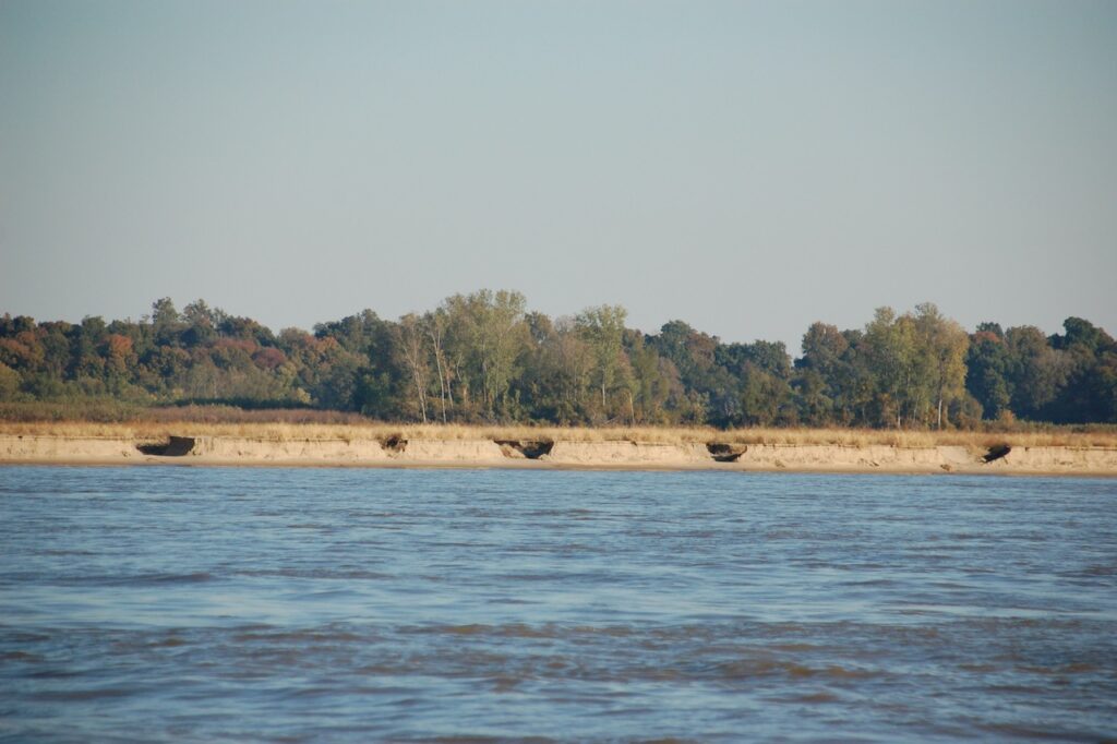

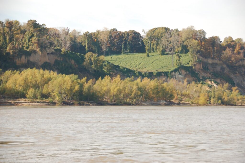
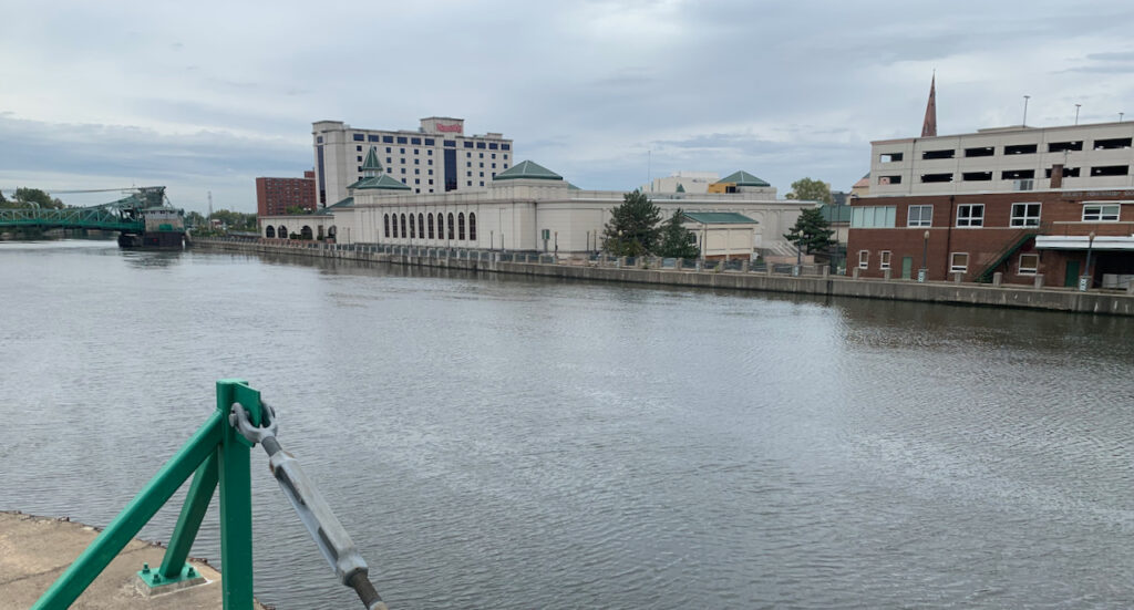
If I neglected to mention it earlier, the Michigan state marinas spoiled us (me) rotten; easy in and out, clean facilities, free laundry in some cases (!), relatively inexpensive and staffed by friendly, knowledgable people. Of course, DuSable in Chicago was most of these things (not the inexpensive part), as well, but the rest of our accommodations in Illinois have been, ummm, different.
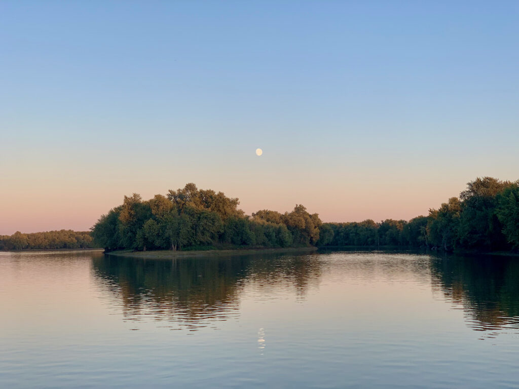
Two of the anchorages have been spectacular and each of the little towns we visited had something we liked so I will stop with the commentary and comparison but you decide…


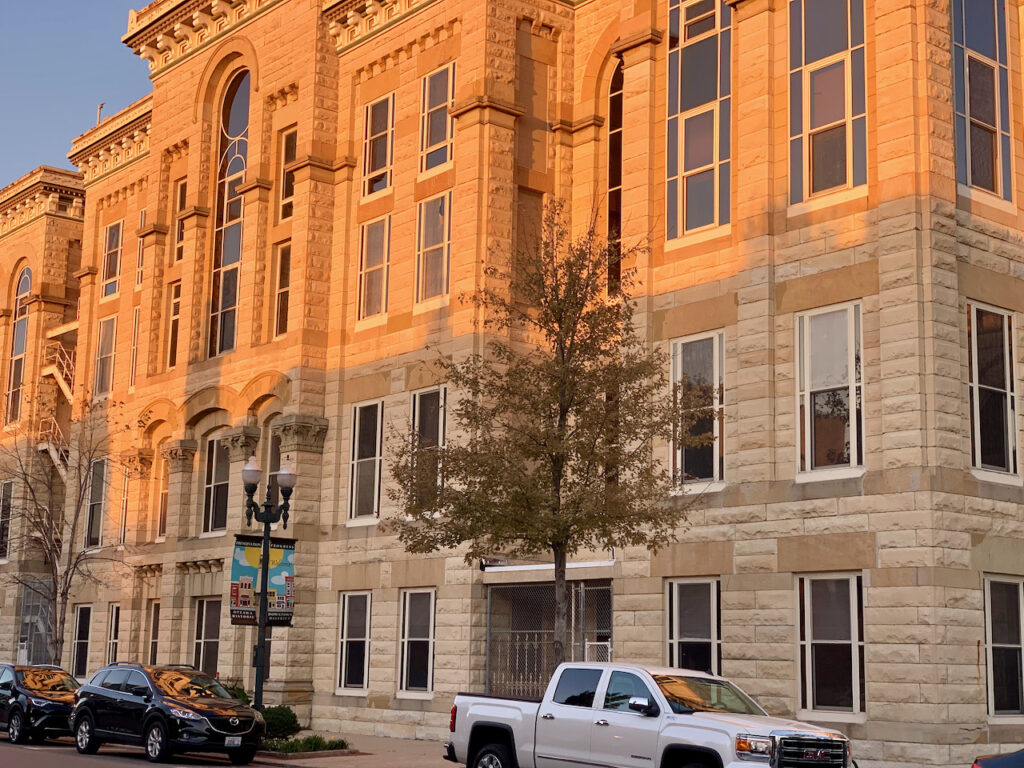


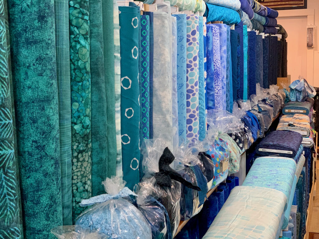
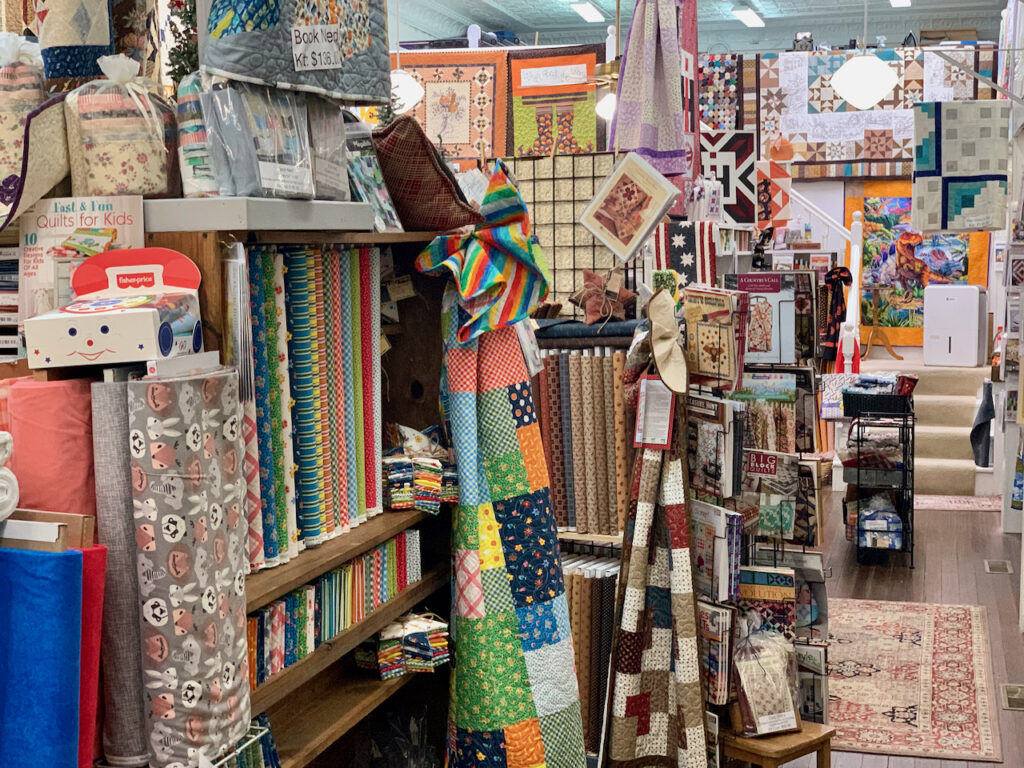


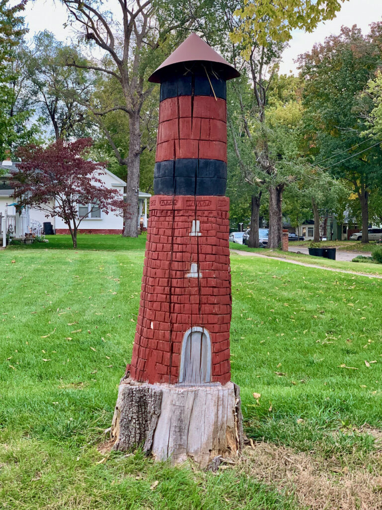
‘Grandma’s Got a Notion’ quilting supply store had a surprisingly large on-hand inventory for the size of the town and the historic water tower inspired a creative solution to the problem of a left-over tree stump!


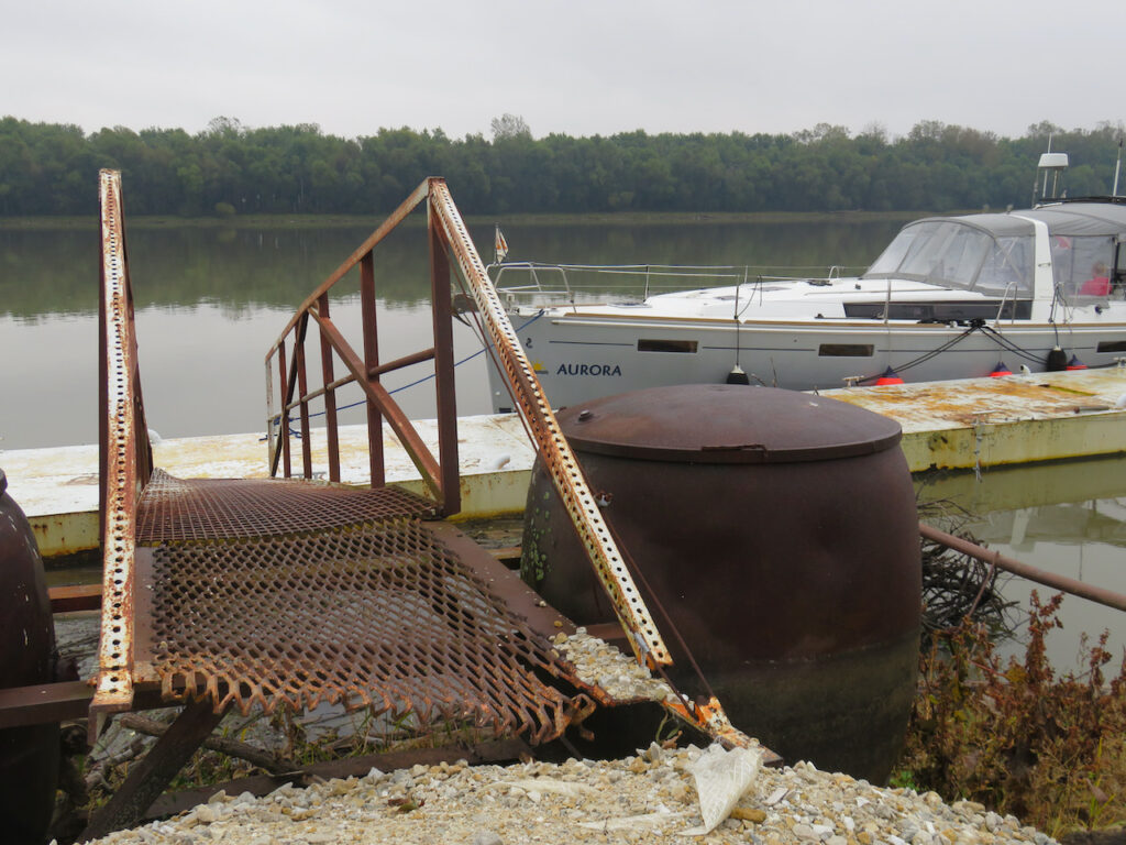
Not even sure what to call this… no pump-out or fuel dock, just a spot deep enough and securely tied to the bank of the river.
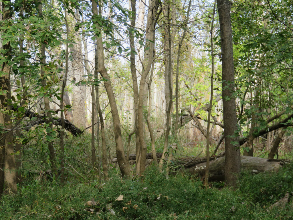

The Illinois River has provided us with a new perspective on American industry. Even the industrial giants (Ford, DuPont, Goodyear, Chrysler) we knew from Buffalo are further up the supply chain than the work in progress we passed traveling down the river.
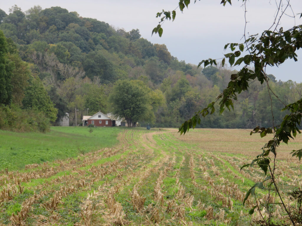
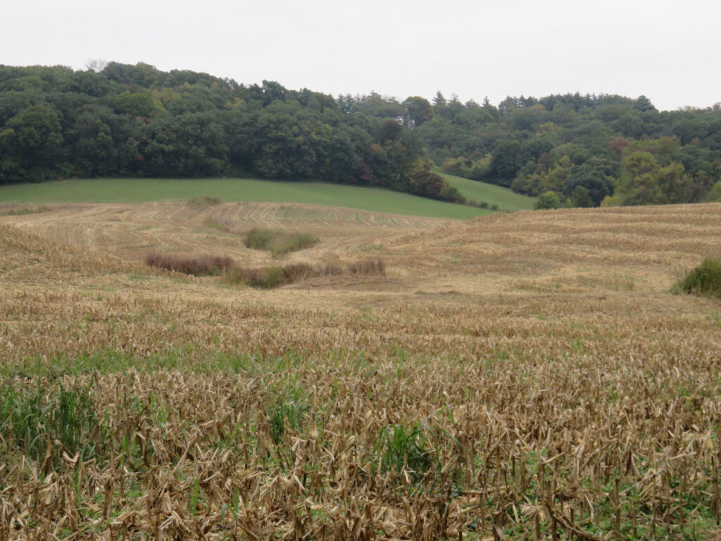
Behind the river banks we pass are miles and miles of farmland, let’s call that ground zero.

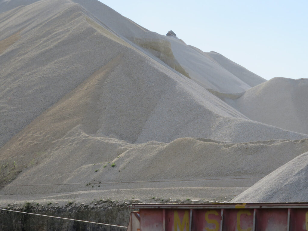
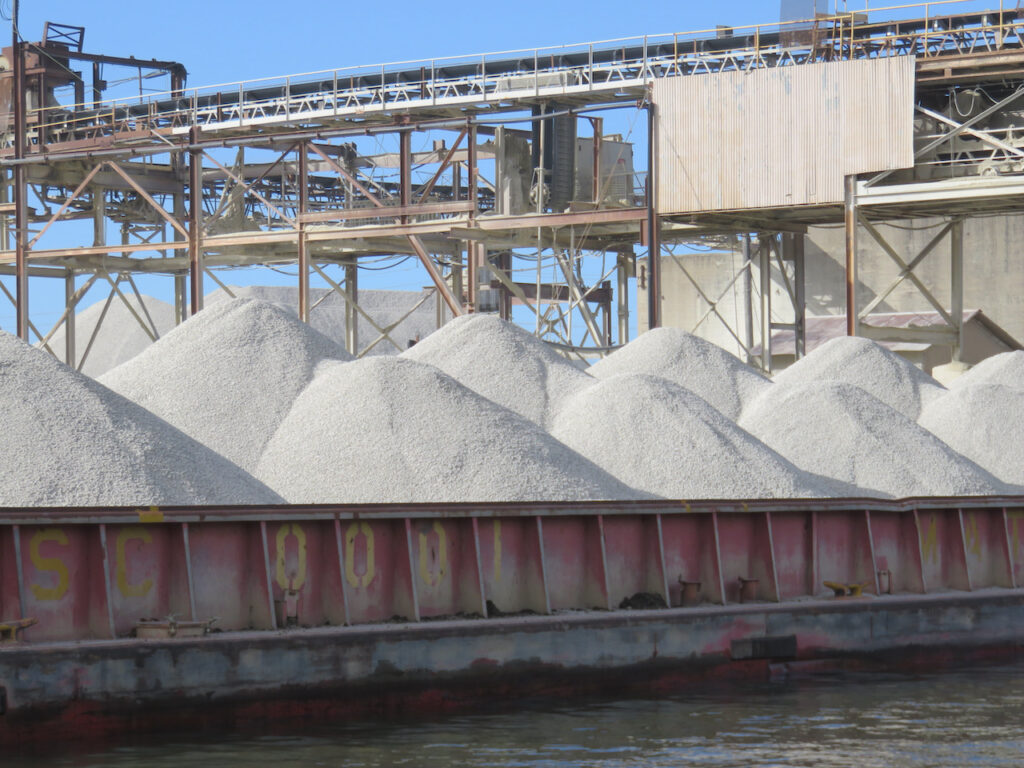
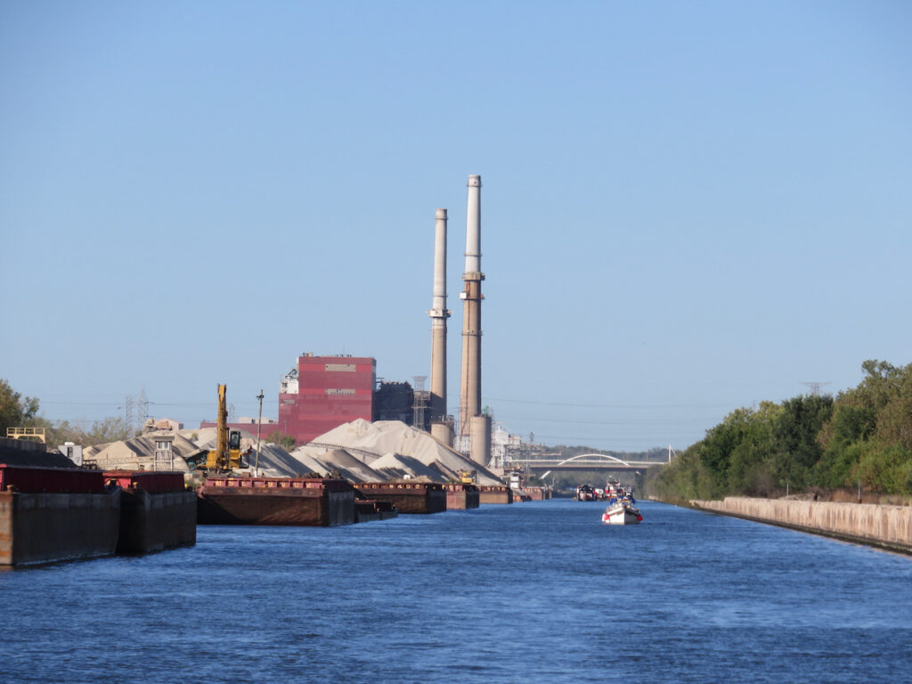
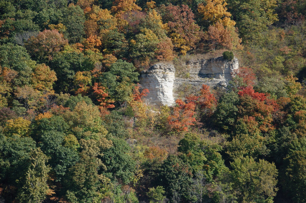
On the river, we see “warehouses & distribution centers”, this is stone but we have seen mulch and salt stored in this manner, as well.

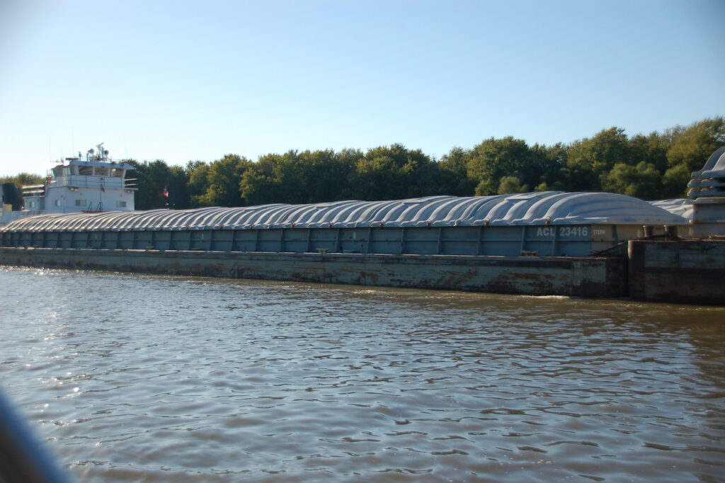

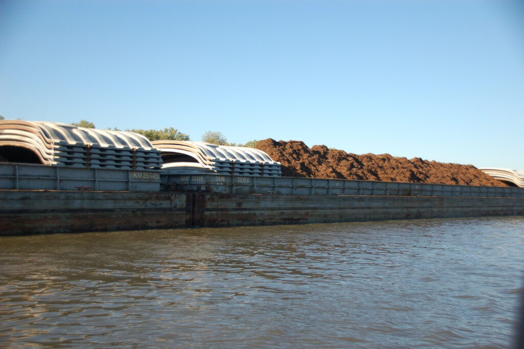

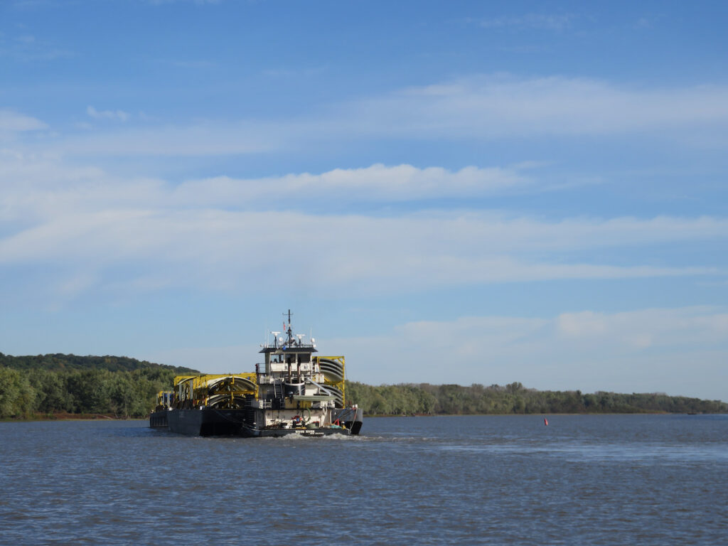
PS – the towboats do not actually tow anything… they PUSH. The largest tow we encountered on the Illinois River Waterway was 15 barges, 3 wide x 5 long… You saw our boat next to a 3×5 in the last blog entry, wait ’til you see us next to a Mississippi tow!😬

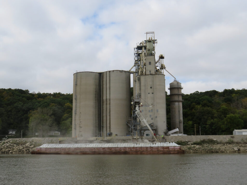

This is one of the grain storage facilities we passed. Seems to be a lot of shrinkage from this one, the others appeared much more efficient.
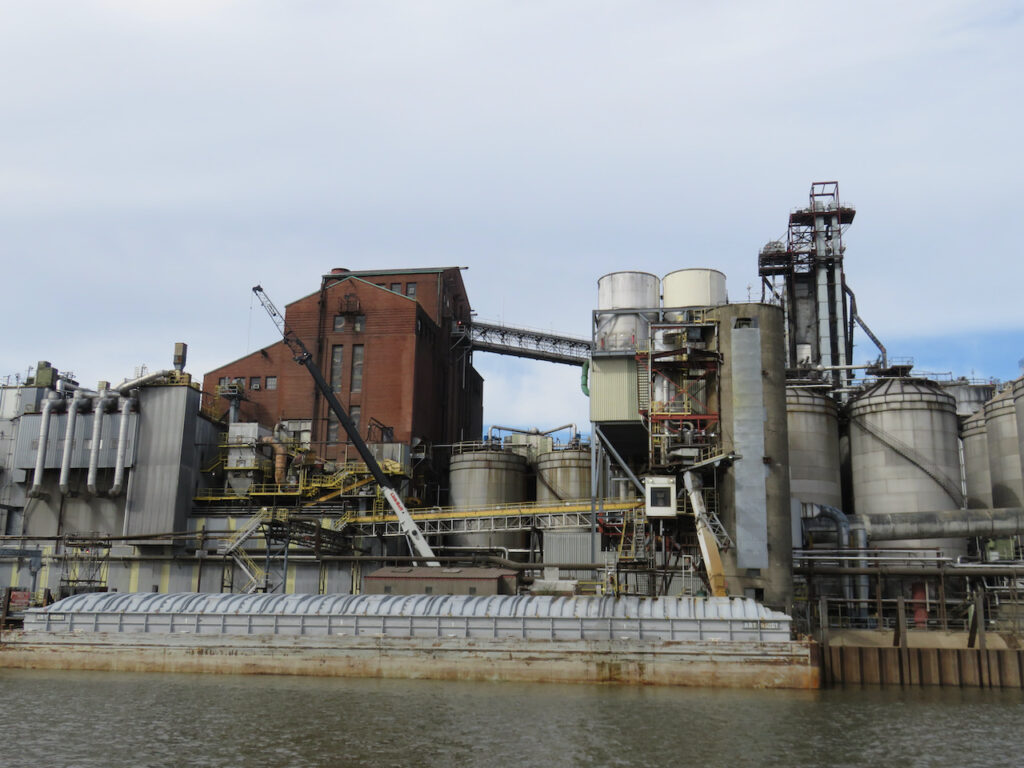
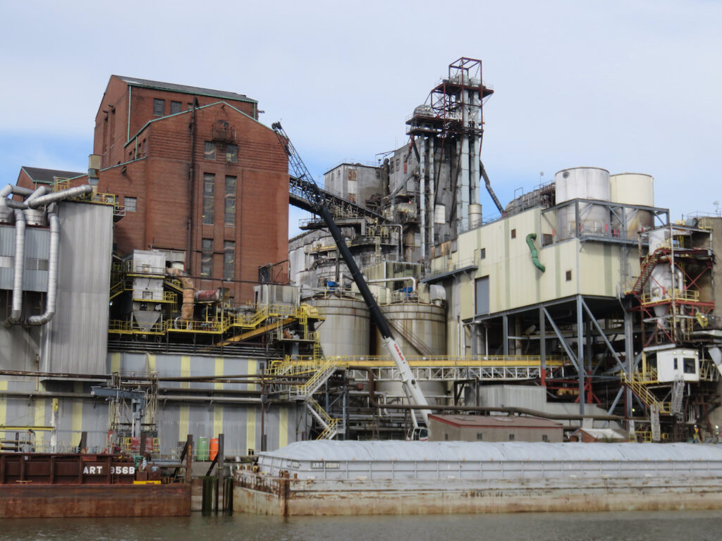
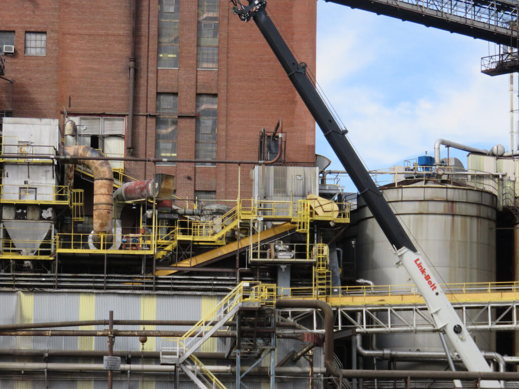
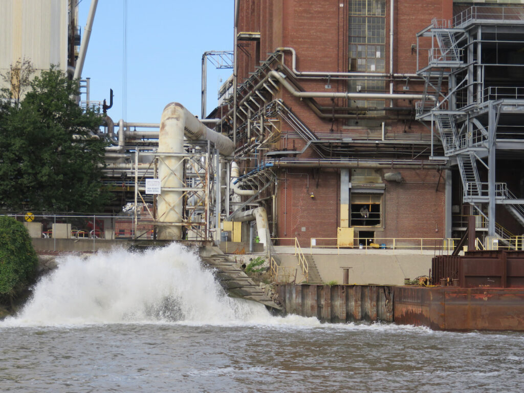
This was a processing plant for some sort of grain. The aroma upstream of the plant was of cinnamon, as we passed the plant, cereal.
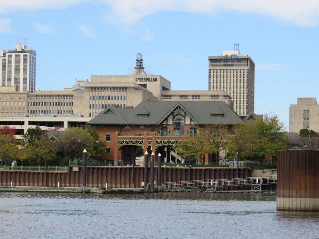
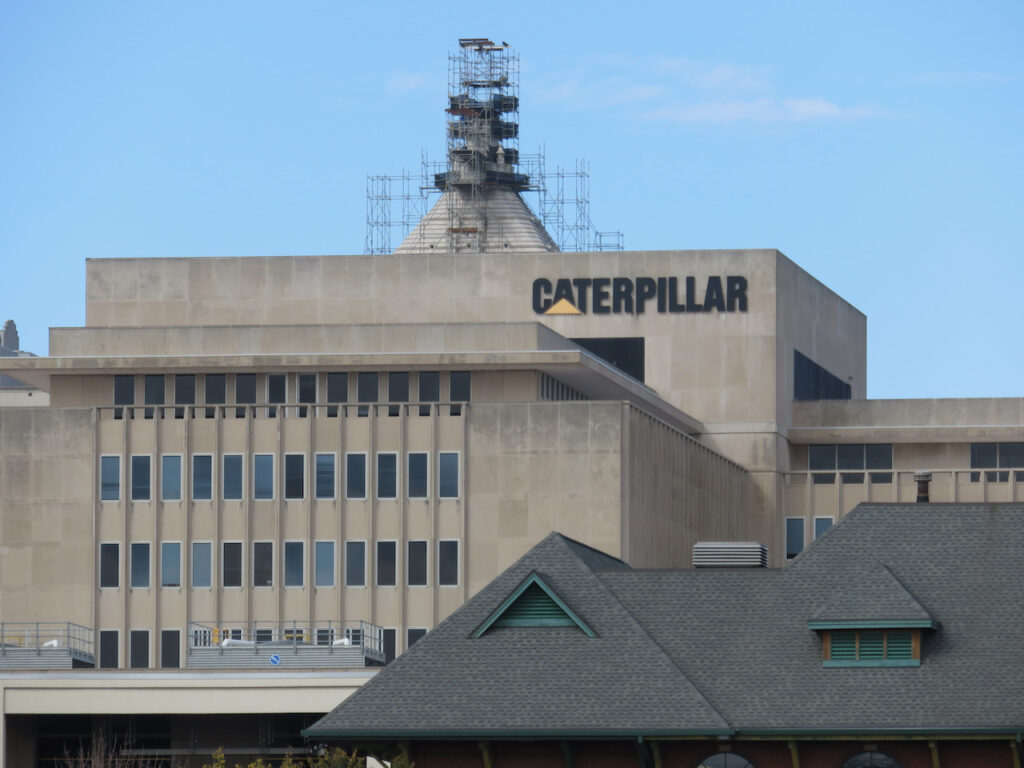
Peoria, Illinois was, until recently, the home of Caterpillar’s corporate headquarters; this is probably the most well-known company we passed.
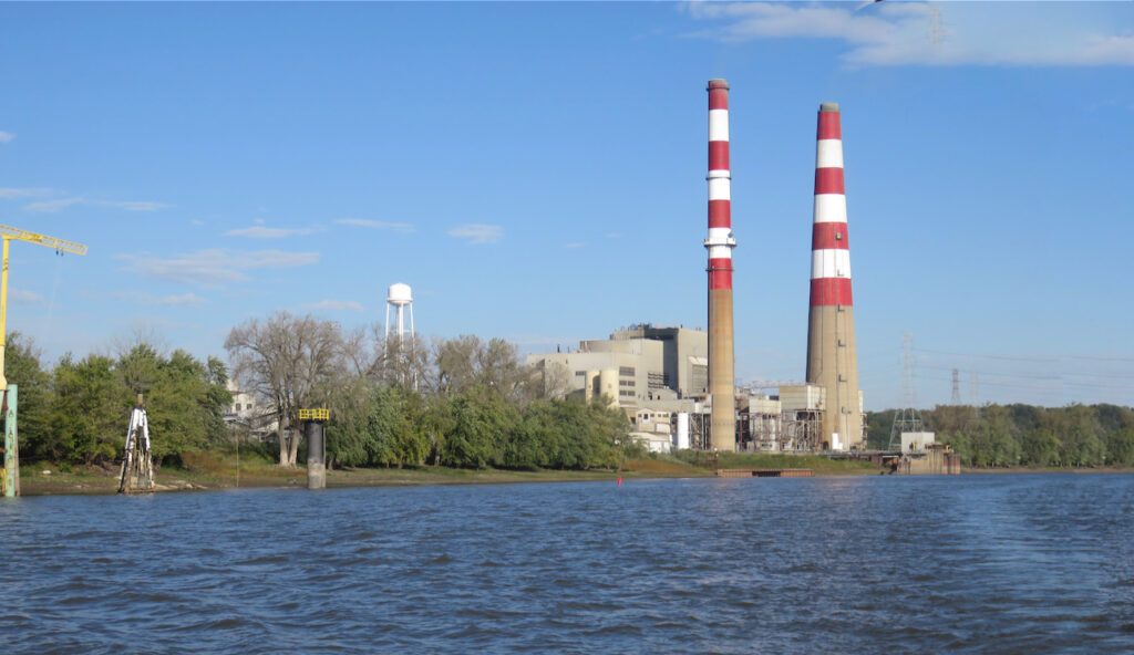
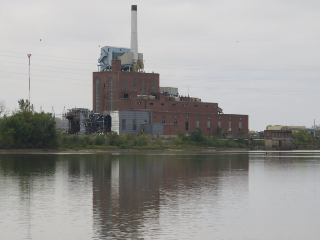

Then, there is all of the infrastructure required to support the raw material processing, transport and the employees these businesses employ. Power stations…
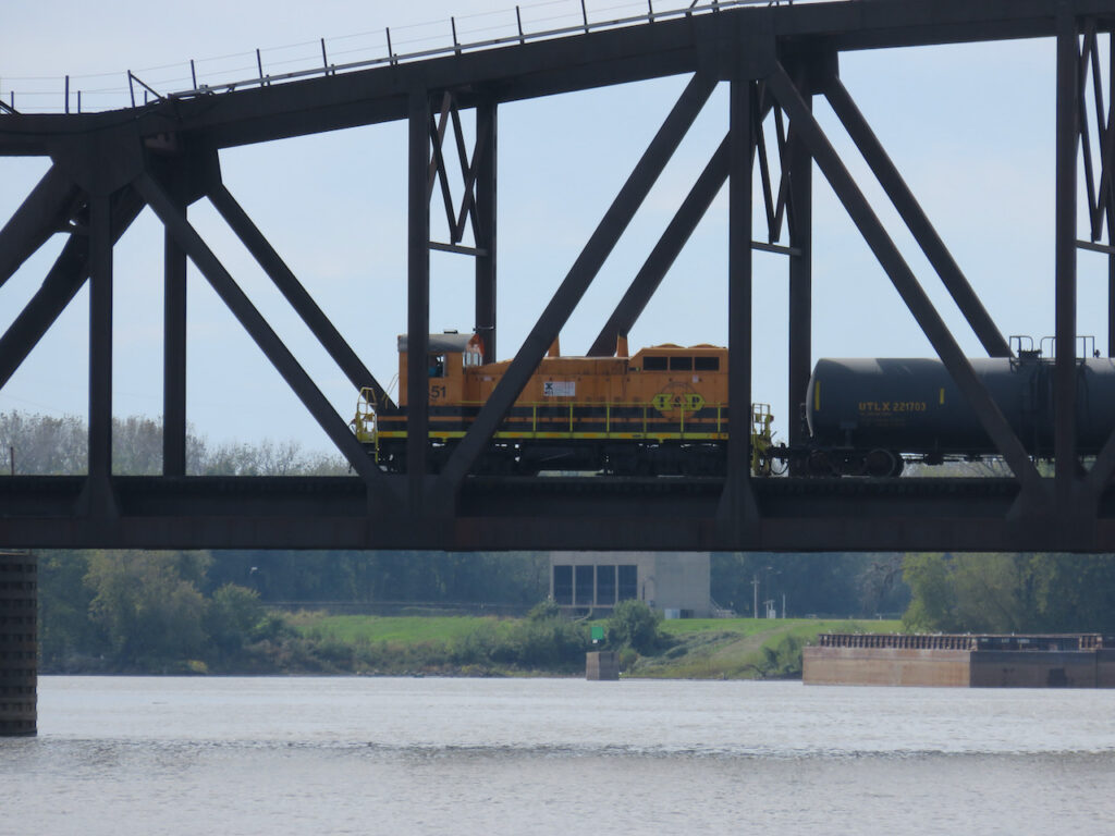
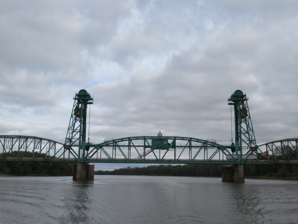
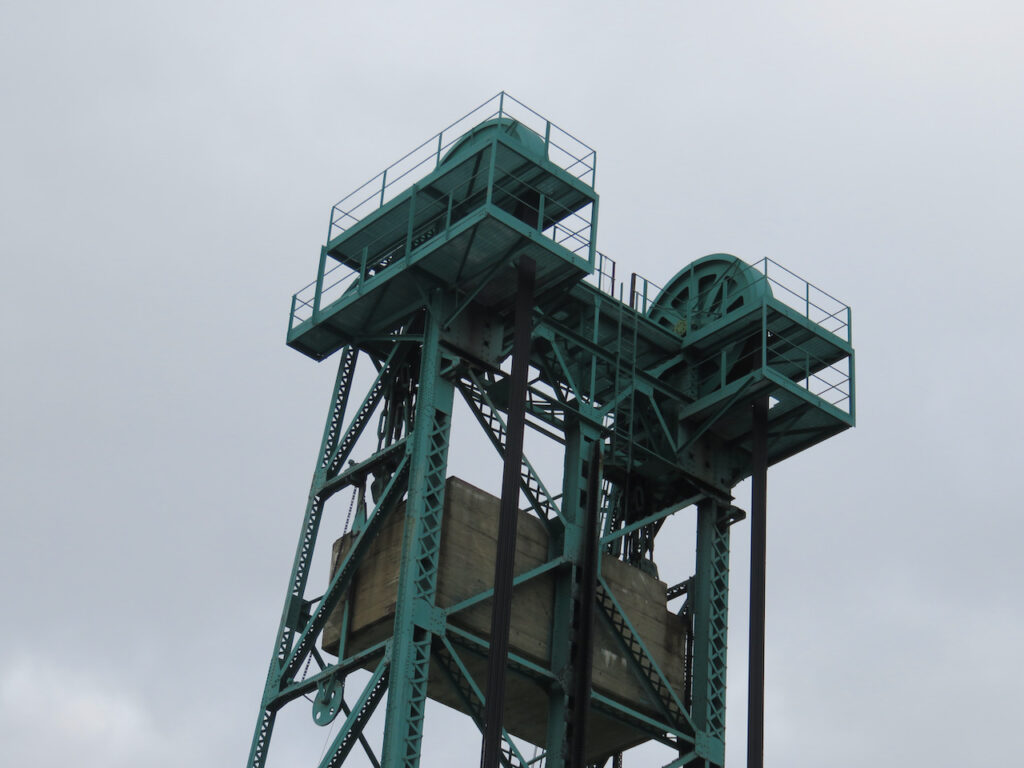
… railways and the engineers who lift the bridges for the barges…

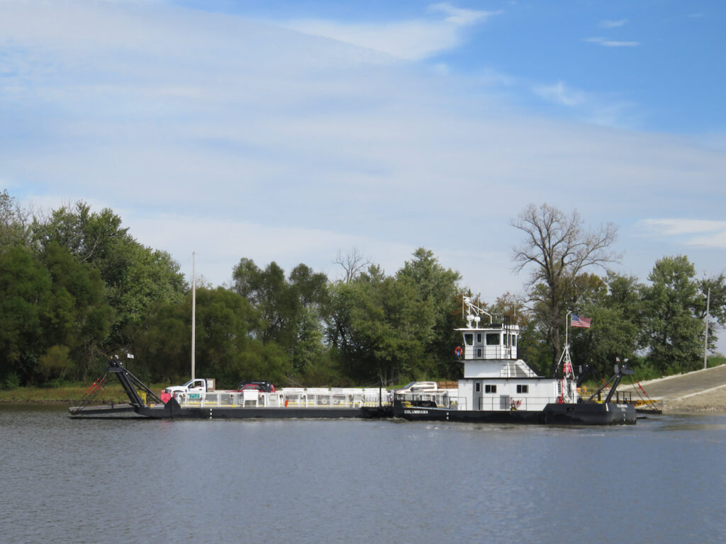


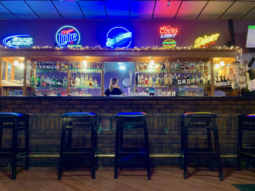
… tiny towns and the bars and the one or two restaurants they supported…
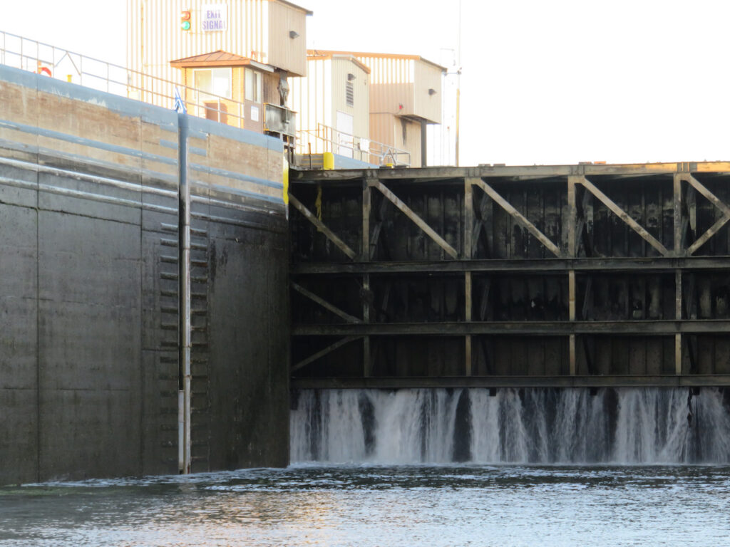
…of the Illinois River Waterway. The first of the inland rivers we are traveling is known as the Illinois River Waterway. This section of the journey is comprised of the Chicago River, the Chicago Sanitary & Ship Canal, the Des Plaines River and the Illinois River. We will have traveled 285 nautical miles (327 statutory miles or 526 kilometers to reach the Upper Mississippi River from Chicago. And as you can see, this vista could not be more different than downtown Chicago!


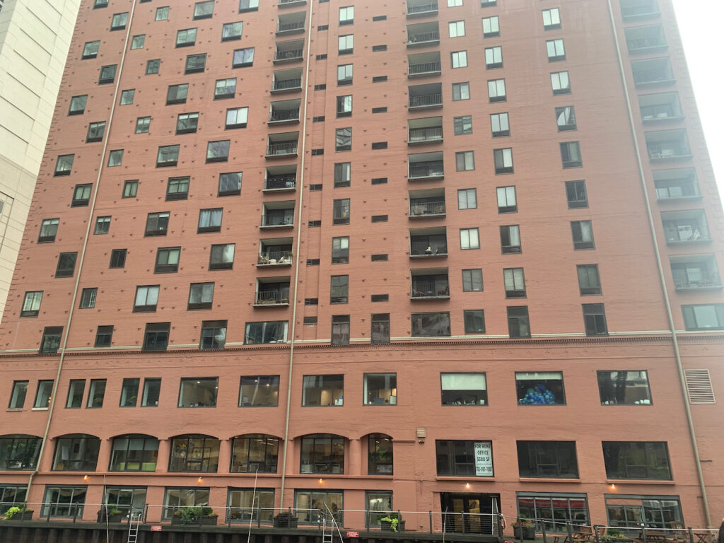
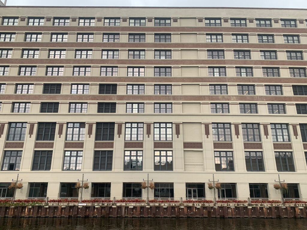
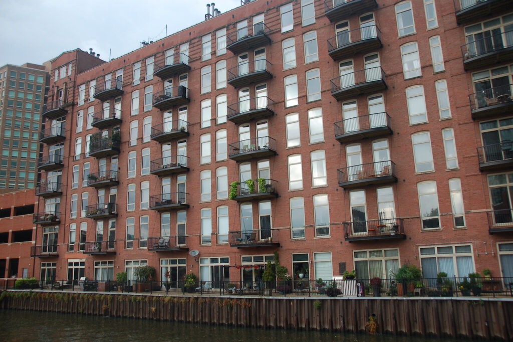
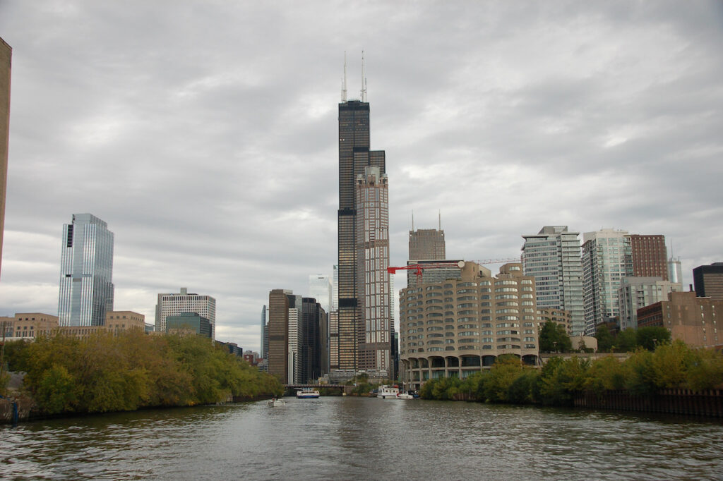
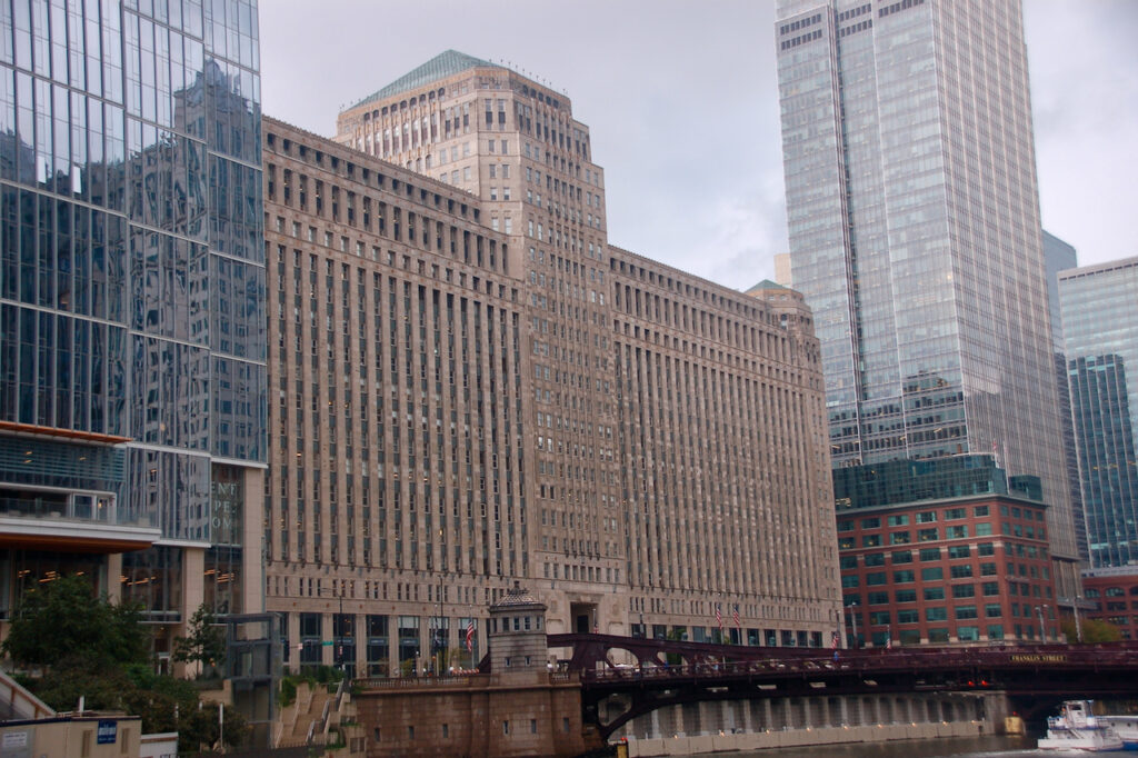
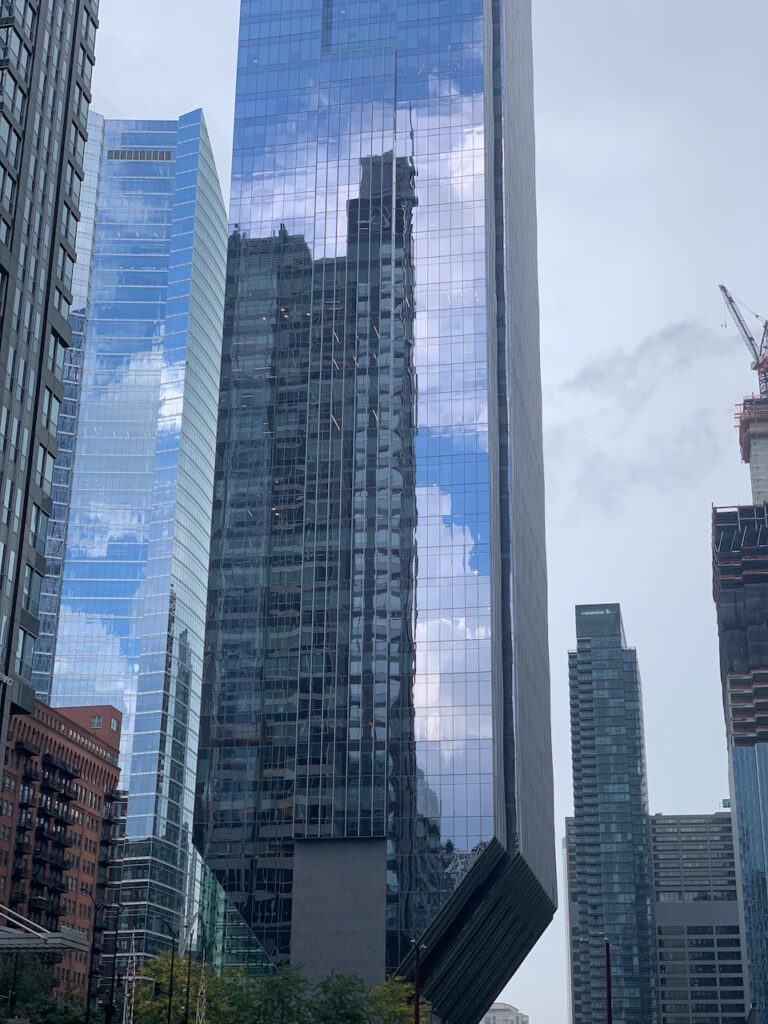
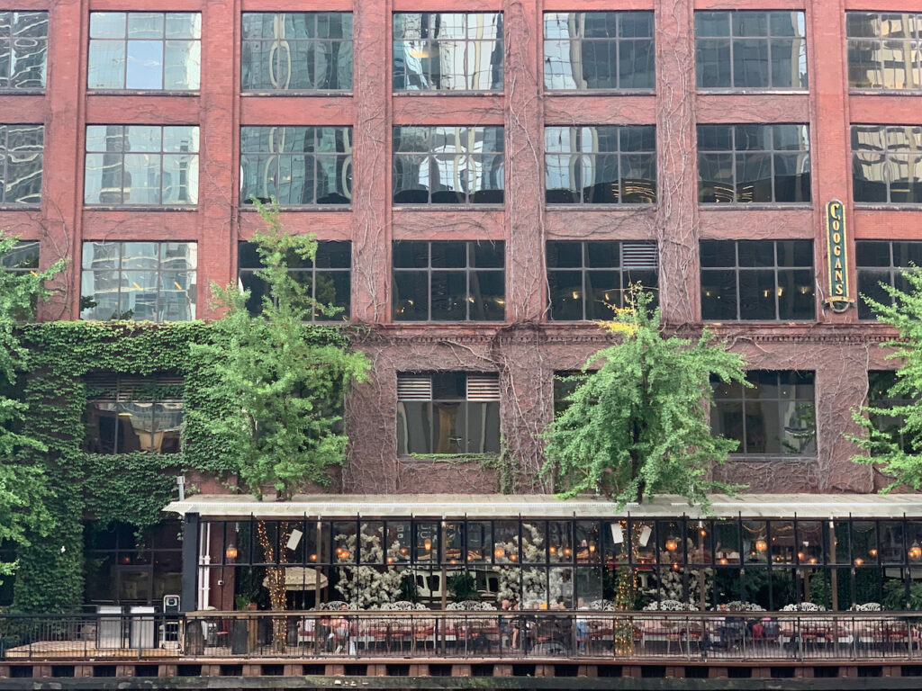
In addition to the abundance of things to do, places to eat and sites to see, Chicago is simply a gorgeous city. Its location on the lake, and the river which runs through it, give it a natural head start over some other cities, but the emphasis on form and detail, in buildings both new and old, combined with the geography, make it special.


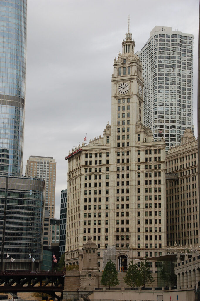

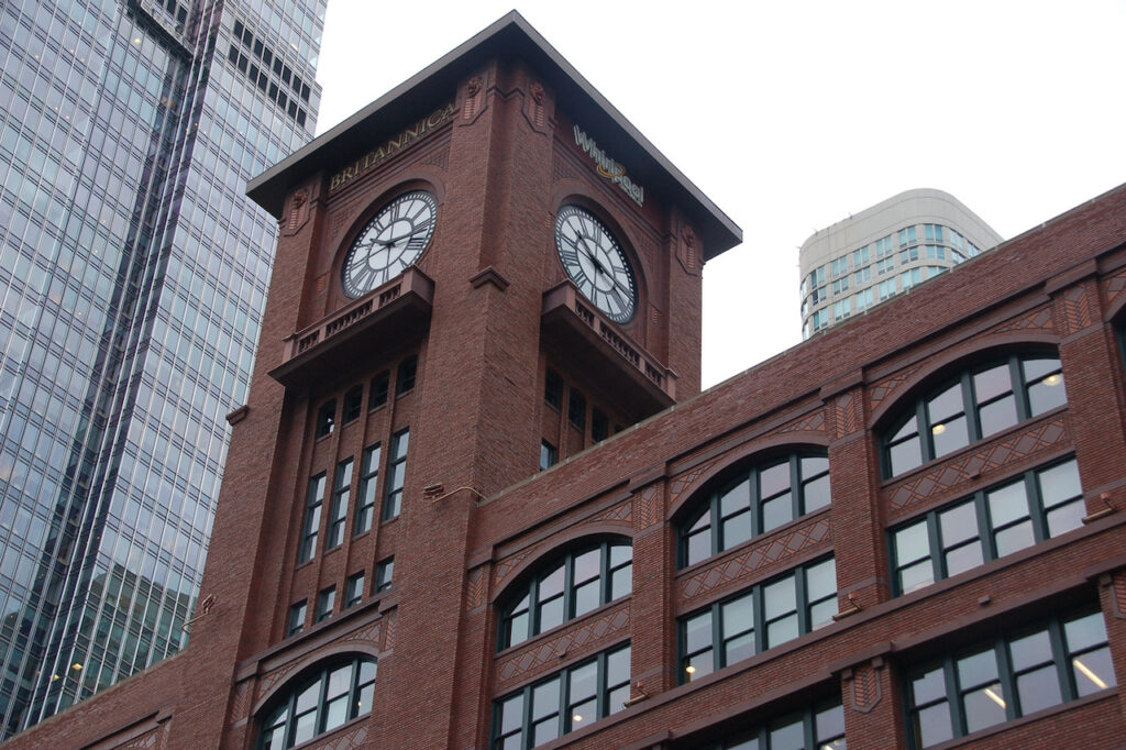

The Reid, Murdoch & Co. Building (1914)

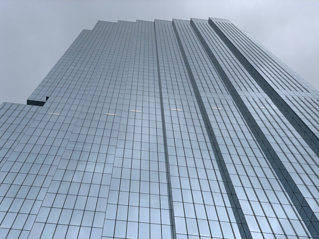

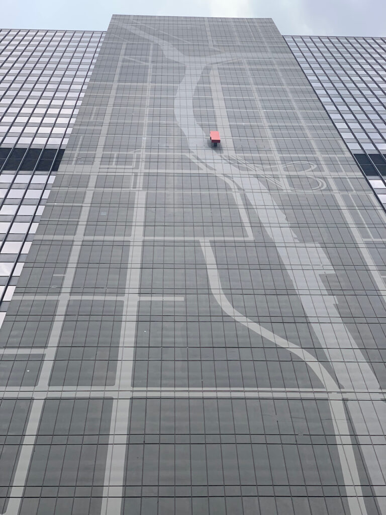

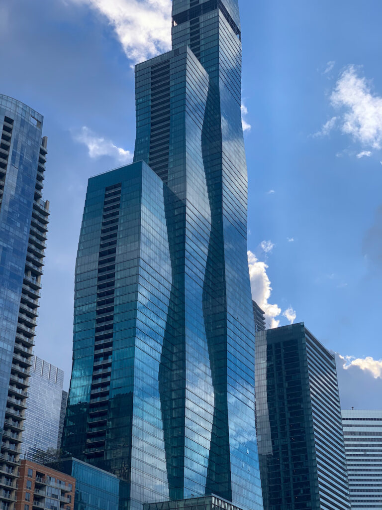
Vista Tower (The Residences at St Regis Chicago) is the tallest building in the world designed by a woman, Jeanne Gang. The small black stripe near the top of the 3rd tower is actually an open floor. It is designed to allow the winds from Lake Michigan to pass through the building thereby minimizing sway. Many of the new buildings had some feature like this, to reduce sway. Both the old and new buildings were also designed with features that allowed light and air to reach the street level of the city (2020).


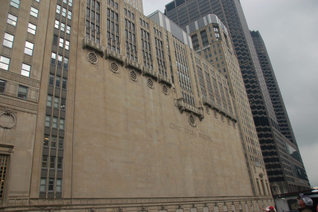

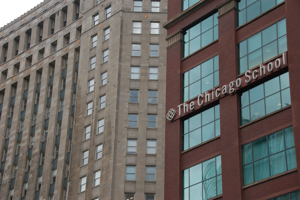
The Civic Opera House (1929)
