Where we are …
You can track us on some parts of the journey at www.marinetraffic.com with MMSI number 367568770. Or you can request a Nebo tracking link from us.
The most recent post …
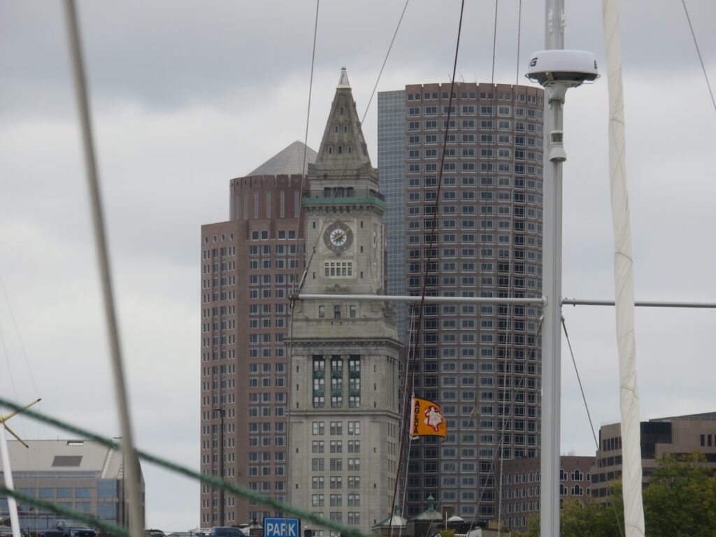
- Making It Official in Beantown
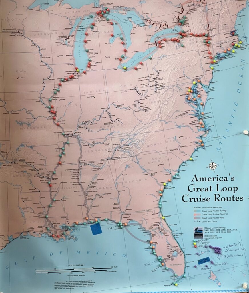
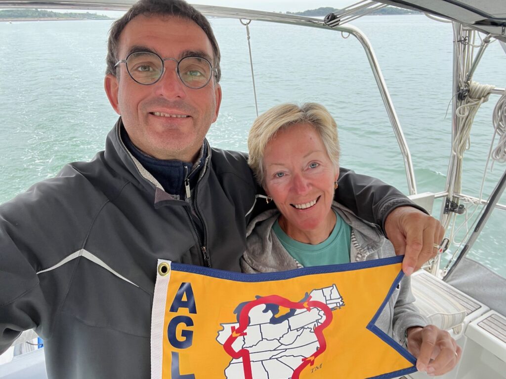
This is proving to be the most difficult post to write… you’ve traveled with us on this adventure so there is little to recap that you don’t already know (and hopefully have enjoyed). Too, having just arrived on the 1st of October, we still have one foot on the boat and one foot off so it is hard to share “what comes next?”… I guess, in closing, I should tell you that these were some of our best boating days ever, we are happy to be welcomed back home and we will talk again when we have a new adventure to share! You have been a great crew…⛵️⛵️⛵️


The Stats
- 511 Days
- 7772 Nautical Miles
- 8944 Statute Miles
- 14394 Kilometers
- 2 Countries
- 25 US States
- 134 Anchorages
- 68 Marinas
- 22 Town Walls
- 17 Mooring Fields
- 2 Overnight Passages
- 1 Shipyard
- Most northern point – Harbor Island (north of Drummond Island, MI)
- Most western point – Atchafalaya River (Odenburg, LA)
- Most southern point – Marathon, FL
- Most eastern point – Provincetown, MA